 Block
Block
Longmeadow, Massachusetts
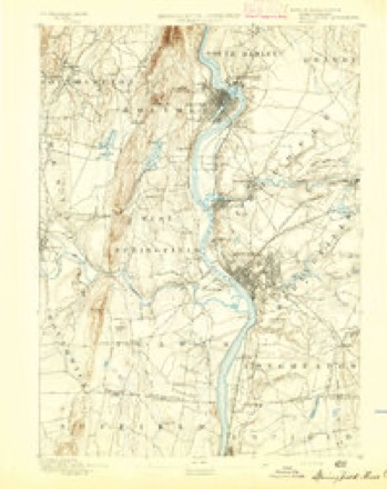
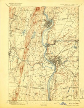
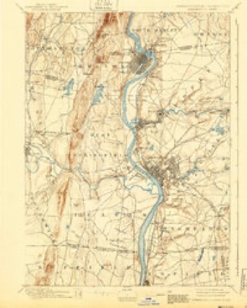
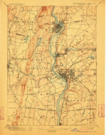
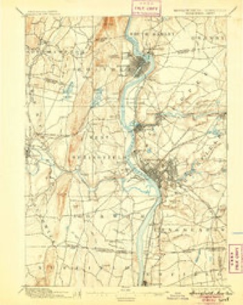
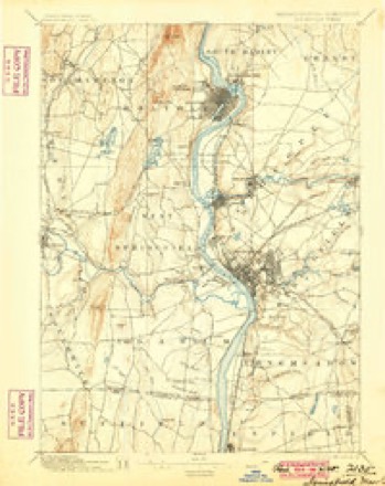
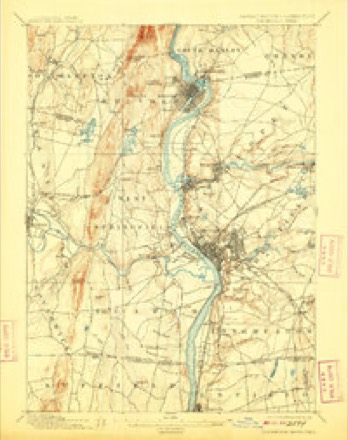
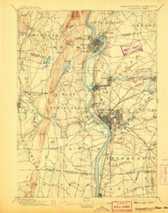
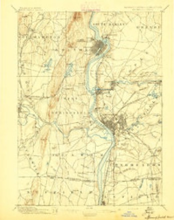
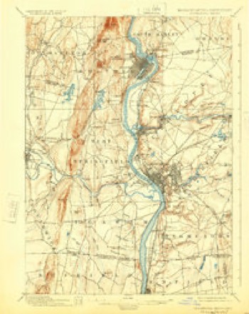
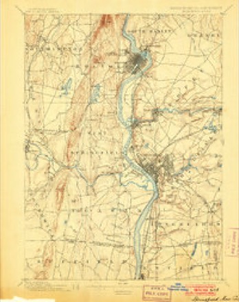
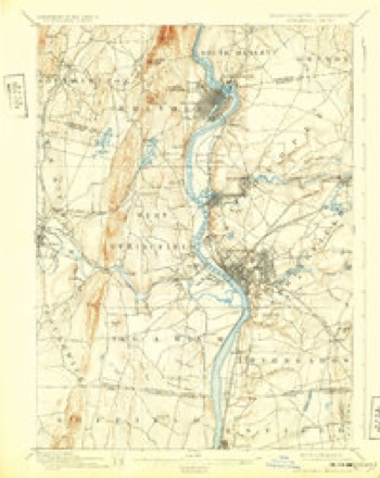
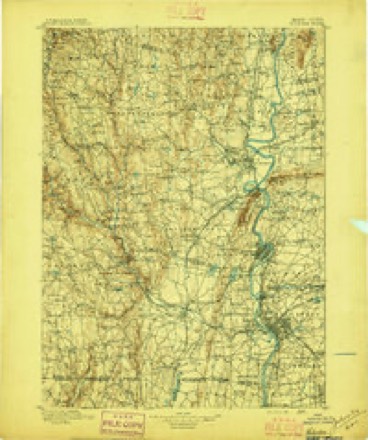
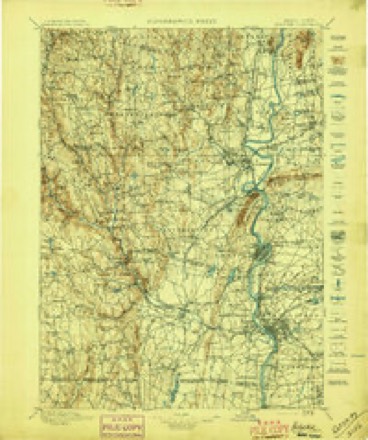
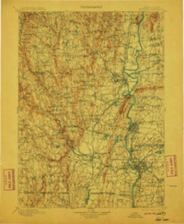
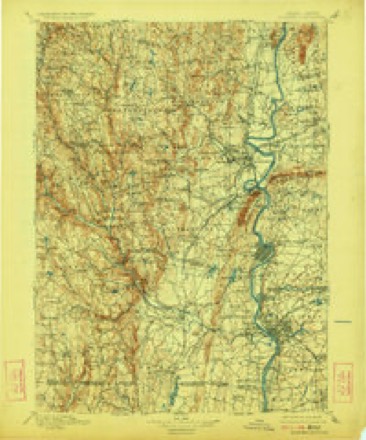
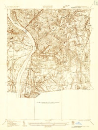
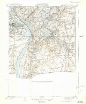
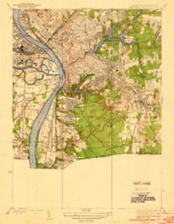
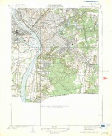
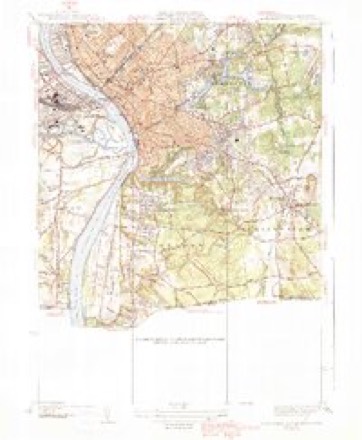
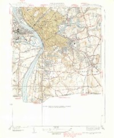
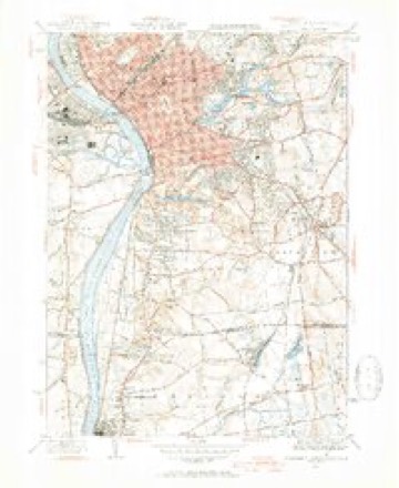
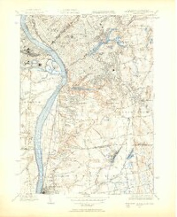
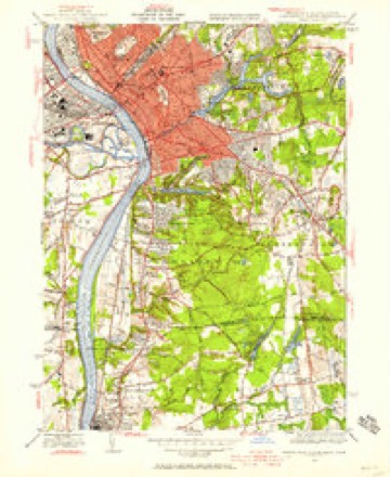
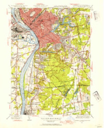
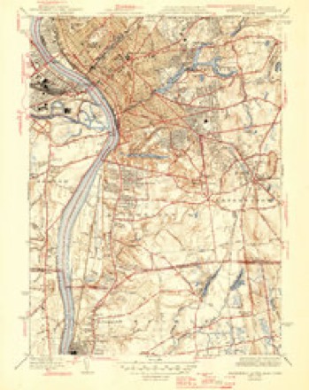
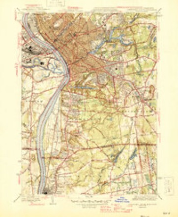
50 topographic sheets cover this place, the earliest surveyed in 1886 and the latest in 1985. It stands in Longmeadow town. It lies in ZIP code area 01106. It stands on Wheel Meadow Brook. The Survey maps it on the Springfield South quadrangle.
Then and now
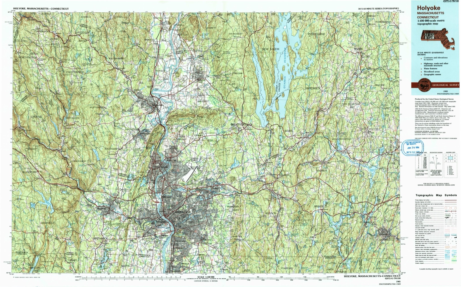
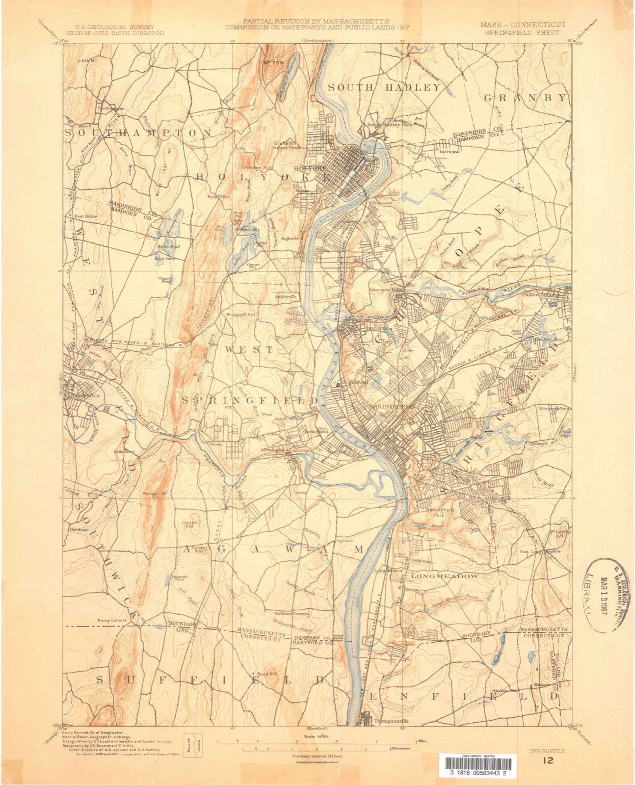
1886 to 1985The same ground, surveyed 99 years apart. Drag the handle to wipe between them. Both sheets are United States Geological Survey originals; neither has been altered.
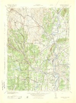
Topographic sheets covering this place
50 sheetsMatched by testing this settlement's coordinate against the published boundary of every sheet in the United States Geological Survey's historical collection. Each opens the scanned sheet at the Survey.
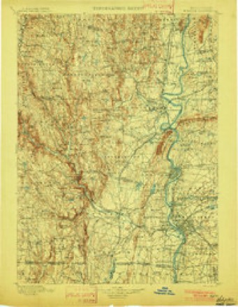
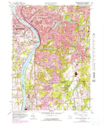
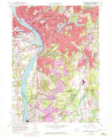
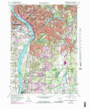
- 1886 USGS Springfield quadrangle1:62500
- 1889 USGS Springfield quadrangle1:62500
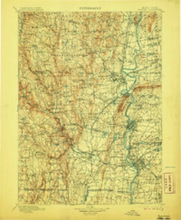
- 1893 USGS Springfield quadrangle1:62500
- 1895 USGS Springfield quadrangle1:62500
- 1895 USGS Springfield quadrangle1:62500
- 1895 USGS Springfield quadrangle1:62500
- 1895 USGS Springfield quadrangle1:62500
- 1895 USGS Springfield quadrangle1:62500
- 1895 USGS Springfield quadrangle1:62500
- 1895 USGS Springfield quadrangle1:62500
- 1895 USGS Springfield quadrangle1:62500
- 1895 USGS Springfield quadrangle1:62500
- 1895 USGS Springfield quadrangle1:62500
- 1895 USGS Springfield quadrangle1:62500
- 1896 USGS Holyoke quadrangle1:125000
- 1897 USGS Holyoke quadrangle1:125000
- 1901 USGS Holyoke quadrangle1:125000
- 1901 USGS Holyoke quadrangle1:125000
- 1901 USGS Holyoke quadrangle1:125000
- 1901 USGS Holyoke quadrangle1:125000
- 1920 USGS Springfield quadrangle1:62500
- 1928 USGS Long Meadow quadrangle1:24000
- 1933 USGS Longmeadow quadrangle1:24000
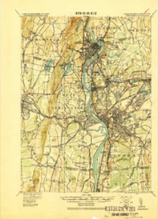
- 1938 USGS Springfield South quadrangle1:31680
- 1938 USGS Springfield South quadrangle1:31680
- 1938 USGS Springfield South quadrangle1:31680
- 1939 USGS Springfield South quadrangle1:31680
- 1939 USGS Springfield South quadrangle1:31680
- 1943 USGS Holyoke quadrangle1:125000
- 1944 USGS Springfield South quadrangle1:31680
- 1944 USGS Springfield South quadrangle1:31680
- 1944 USGS Springfield South quadrangle1:24000
- 1944 USGS Springfield South quadrangle1:31680
- 1946 USGS Springfield South quadrangle1:31680
- 1946 USGS Springfield South quadrangle1:31680
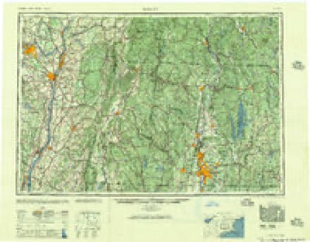
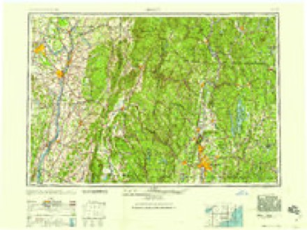
- 1948 USGS Albany quadrangle1:250000
- 1956 USGS Albany quadrangle1:250000
- 1956 USGS Albany quadrangle1:250000
- 1957 USGS Albany quadrangle1:250000
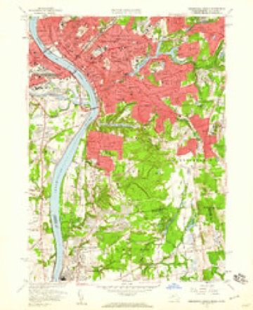
- 1958 USGS Springfield South quadrangle1:24000
- 1958 USGS Springfield South quadrangle1:24000
- 1958 USGS Springfield South quadrangle1:24000
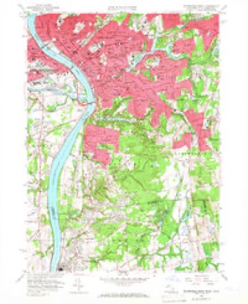
- 1958 USGS Springfield South quadrangle1:25000
- 1958 USGS Springfield South quadrangle1:24000
- 1958 USGS Springfield South quadrangle1:25000
- 1959 USGS Albany quadrangle1:250000
- 1962 USGS Albany quadrangle1:250000
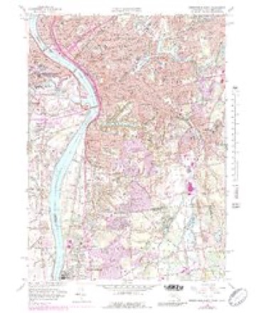
- 1975 USGS Springfield South quadrangle1:25000
- 1985 USGS Holyoke quadrangle1:100000
- 1985 USGS Holyoke quadrangle1:100000
Photographs
1 photograph,Taken for the Office of War Information and the Farm Security Administration, who photographed the country between 1935 and 1944. Works of United States government photographers, with no known restriction on use. Each opens its catalogue record.
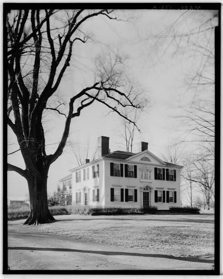
Unattributed, . Library of Congress
Fires nearby
328 since 2002The federal wildfire occurrence database lists 328 fires within 5 miles of Longmeadow between 2002 and 2020, burning about 230 acres in total. 21 started naturally. 2 were recorded as arson. Distance is straight-line from the map coordinates, so a fire counted here may appear on a neighbouring settlement's page as well.
| Reported cause | Fires |
|---|---|
| Missing data/not specified/undetermined | 167 |
| Equipment and vehicle use | 82 |
| Natural | 21 |
| Debris and open burning | 20 |
| Recreation and ceremony | 18 |
| Smoking | 16 |
| Misuse of fire by a minor | 2 |
| Arson/incendiarism | 2 |
The most recent of them, most recent first, with the day each was reported and the service that recorded it.
| Date | Cause | Size | Reported by | Name on the report |
|---|---|---|---|---|
| 8 September 2015 | Missing data/not specified/undetermined | under an acre | Massachusetts Bureau of Forest Fire Control | not named |
| 7 September 2015 | Missing data/not specified/undetermined | under an acre | Massachusetts Bureau of Forest Fire Control | not named |
| 6 September 2015 | Missing data/not specified/undetermined | under an acre | Massachusetts Bureau of Forest Fire Control | not named |
| 6 September 2015 | Missing data/not specified/undetermined | under an acre | Massachusetts Bureau of Forest Fire Control | not named |
| 5 September 2015 | Missing data/not specified/undetermined | under an acre | Massachusetts Bureau of Forest Fire Control | not named |
| 4 September 2018 | Equipment and vehicle use | under an acre | Massachusetts Bureau of Forest Fire Control | not named |
| 4 September 2016 | Equipment and vehicle use | under an acre | Massachusetts Bureau of Forest Fire Control | not named |
| 3 September 2015 | Missing data/not specified/undetermined | under an acre | Massachusetts Bureau of Forest Fire Control | not named |
Settlements close enough to share some of these fires:
Specimens collected nearby
12 of 1,419 shownMuseums hold 1,419 specimens collected within 10 miles of Longmeadow between 1844 and 1975: 561 Animalia, 414 Fungi, 396 Plantae, 37 Chromista, 11 Unrecorded. 12 distinct Species records are shown. Collected by A. B. Seymour, A. E. Kirk, A. Lorenz and others. Each is a physical object with a catalogue number, and each entry opens the museum's record. This is what was collected and kept, not a survey of what lives here - nothing can be concluded from a species being absent.
| Image | Species | Year | Collected by | Where, as recorded |
|---|---|---|---|---|
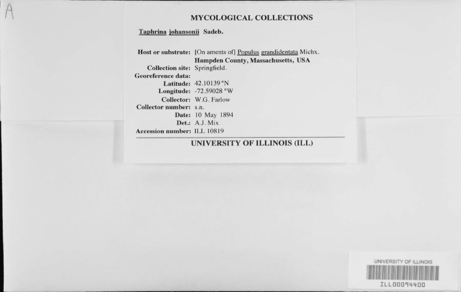 | Taphrina johansonii Sadeb. | 1894 | W.G. Farlow | |
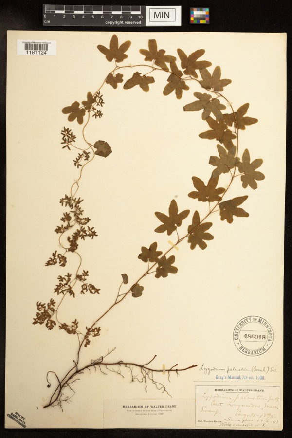 | Lygodium palmatum (Bernh.) Sw. | 1895 | Deane, Walter | East Longmeadow;;;; |
 | Calligrapha rhoda Knab, 1909 | 1900 | F. Knab | West Springfield |
 | Carex siccata Dewey | 1844 | Collector unknown | |
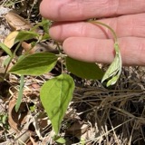 | Amphicarpaea bracteata (L.) Fernald | 1845 | Collector unspecified | |
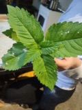 | Galeopsis tetrahit L. | 1845 | not recorded | |
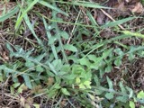 | Lactuca hirsuta Muhl. ex Nutt. | 1850 | Collector unspecified | |
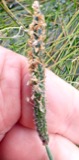 | Alopecurus geniculatus L. | 1852 | Shurtleff, S. | Westfield |
 | Carex canescens L. | 1852 | Collector unknown | Westfield. |
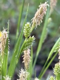 | Carex pallescens L. | 1852 | Collector unknown | Westfield |
 | Eurybia schreberi (Nees) Nees | 1852 | C. A. Shurtleff | |
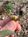 | Lonicera dioica L. | 1852 | Collector unknown |
All 1,419 specimens within 10 miles, at the Global Biodiversity Information Facility.
Mines and quarries nearby
10 of 23 shownThe federal mineral resources record lists 23 workings within 5 miles of Longmeadow: 11 past producers, 11 producers, 1 unknown. 11 still produce. What was taken out: Stone, Dimension, Flagstone, Sand and Gravel, Construction, Brick Clay. Distance is straight-line from the map coordinates, so a quarry counted here may appear on a neighbouring settlement's page as well.
| Where | Site | Commodity | Status | Recorded |
|---|---|---|---|---|
| W. New England Smelting Works Inc | Copper | Producer | ||
| Clay Pit | Brick Clay | Producer | Clay | |
| Clay Pit | Brick Clay | Producer | Clay | |
| Clay Pit | Clay | Past Producer | ||
| Clay Pit | Clay | Past Producer | ||
| Clay Pit | Brick Clay | Producer | Clay | |
| Clay Pit | Clay | Past Producer | ||
| Chase Pit | Sand and Gravel, Construction | Past Producer | ||
| John Pit | Sand and Gravel, Construction | Unknown | ||
| Johns Pit | Sand and Gravel, Construction | Producer |
Storms nearby
34 since 1995The National Weather Service names Longmeadow in 34 storm reports between 1995 and 2023: 21 thunderstorm wind, 9 hail, 2 flash flood, 2 flood. No death or injury is recorded in these reports. Each account below is quoted exactly as the forecast office filed it, from the NOAA Storm Events Database, and each date opens the federal record of that event.
| When | Event | Place named | Harm | What the report says |
|---|---|---|---|---|
| July 2019 | Thunderstorm Wind | Longmeadow | $400,000 | A wet microburst occurred between 459 PM and 5 PM EDT in Longmeadow, MA. According to the Emergency Management Director, about 200 trees were downed. Damage cost about $400,000 to clean up. The damage began just west of Route 5 and was maximized in the section of town near Longmeadow Brook and Frank Smith Road. A few trees were down onto houses. There were no injuries reported. |
| July 2012 | Flash Flood | Longmeadow | $75,000 | In Longmeadow, Bliss Road was flooded and impassable as well as the Big Y parking lot. A few cars were stuck in the flood waters. Williams Street from Peoples Bank west to Wilkin Drive was flooded with two feet of water. Dwight Road was flooded with up to two and a half feet of water. At points, water was above the hoods of vehicles that tried to drive through the water. Converse Street was flooded with about 12 inches of water from Burbank Road to Blueberry Hill Road. Hazardville Road near Maple Road was flooded with 2 feet of water. Merryweather Road was flooded with nearly 2 feet of water from Williams Street south to Glenbrook Lane. Numerous cars were stalled out or stuck in water they tried to drive through. Avondale Road was partially washed out with a sinkhole on the side of the road. Mill Brook Drive in East Longmeadow was flooded with two feet of water. |
| June 2011 | Thunderstorm Wind | Longmeadow | $30,000 | Multiple trees and wires were downed throughout town. |
| April 2023 | Flood | Longmeadow | $20,000 | A strong thunderstorm produced 3.37 inches of rain in Longmeadow and 2.51 inches in Springfield, per an amateur radio spotter. In Longmeadow at 545 PM EDT (445 PM EST), the Fire Dept. reported the area of Hazardville Road and Shaker Road flooded and impassable, with a car stalled in the street flooding. Also, on Dwight Road, two cars were stuck in street flooding. Reports were relayed via amateur radio. There was a report of basement flooding on Kenmore Drive in Longmeadow. In East Longmeadow at 545 PM EDT (445 PM EST), a trained spotter reported significant street flooding, up to the wheel wells of cars, on North Main Street. |
| July 2014 | Thunderstorm Wind | Longmeadow | $15,000 | Trees and wires on Normandy and Greenwich Roads were downed by thunderstorm winds. These winds also downed a tree onto a house on Prynnwood Road. |
| February 2016 | Thunderstorm Wind | East Longmeadow | $10,000 | Elm Street and Maple Shade Avenue in East Longmeadow were closed due to downed trees and wires. |
| July 2014 | Thunderstorm Wind | Longmeadow | $10,000 | Trees on Longview Street were downed by thunderstorm winds. Trees and wires on Franklin Street also were downed. |
| October 2020 | Thunderstorm Wind | East Longmeadow | $8,000 | In East Longmeadow, a tree fell onto a garage and a truck at Westernview Circle. |
| July 2022 | Thunderstorm Wind | Longmeadow | $7,000 | In Longmeadow, a tree was down on Tennyson Drive. Multiple trees were reported down on railroad tracks, temporarily shutting down Amtrak service between Springfield and Windsor Locks. A tree was down on Viscount Road. A tree was down on Dwight Road. |
| June 2021 | Thunderstorm Wind | Longmeadow | $7,000 | In Longmeadow, a tree was down on a house on Nevins Road. In East Longmeadow, several large trees were down on Maple Street. |
| September 2018 | Thunderstorm Wind | East Longmeadow | $7,000 | At 2:35 PM EST, wind brought trees and wires down on Alpine Avenue in East Longmeadow. |
| July 2014 | Thunderstorm Wind | Longmeadow | $5,000 | A large tree and power lines on Elmwood Road were downed by thunderstorm winds. |
| August 2012 | Thunderstorm Wind | Longmeadow | $5,000 | Large limbs on Western and Claremont Streets were downed by thunderstorm winds. A tree on Weoodlawn and South Park Roads also was downed. |
| August 2005 | Hail | Longmeadow | $5,000 | no account filed |
| September 2018 | Thunderstorm Wind | Longmeadow | $2,000 | At 2:35 PM EST, wind brought a tree and wires down between Williams Street and Laurel Street in Longmeadow. |
| June 2008 | Thunderstorm Wind | Longmeadow | $2,000 | A tree was downed by thunderstorm winds blocking three lanes of Interstate 91 in Longmeadow. A tree on Allen Street was downed by thunderstorm winds, blocking East Longmeadow Road. |
| August 2019 | Thunderstorm Wind | Longmeadow | $1,000 | In Longmeadow, a tree was down due to thunderstorm winds on Riverview Avenue and wires were down due to wind on Oceola Lane. |
| June 2020 | Thunderstorm Wind | Longmeadow | $700 | A tree and wires were down at Colton Place in East Longmeadow. |
| July 2022 | Thunderstorm Wind | East Longmeadow | $500 | In East Longmeadow, a tree was down on the 80 block of Parker Street. Report relayed via amateur radio operators. |
| November 2021 | Thunderstorm Wind | Longmeadow | $500 | In Longmeadow, a tree was down on wires on Kingsbury Lane. |
| July 2019 | Thunderstorm Wind | East Longmeadow | $300 | Tree down on Hampden Road in East Longmeadow. |
| August 2019 | Thunderstorm Wind | Longmeadow | $300 | In Longmeadow, wires were down on Benedict Terrace due to thunderstorm winds. |
| August 2021 | Flood | Longmeadow | - | A Springfield TV meteorologist reported flooding on Route 5 in northern Longmeadow. |
| May 2020 | Hail | East Longmeadow | - | Quarter size hail was reported in East Longmeadow. |
| June 2017 | Hail | Longmeadow | - | At 153 PM EST, an amateur radio operator reported nickel-size hail on U.S. Route 5 in Longmeadow. |
| July 2009 | Hail | East Longmeadow | - | Quarter to ping-pong ball size hail fell on Wedgewood Road near the Springfield/East Longmeadow line. |
| August 2013 | Hail | Longmeadow | - | no account filed |
| August 2011 | Hail | Longmeadow | - | no account filed |
| August 2011 | Hail | Longmeadow | - | no account filed |
| August 2011 | Hail | East Longmeadow | - | no account filed |
| July 1998 | Thunderstorm Wind | East Longmeadow | - | no account filed |
| May 1998 | Flash Flood | Longmeadow | - | no account filed |
| July 1997 | Hail | Longmeadow | - | no account filed |
| October 1995 | Thunderstorm Wind | East Longmeadow | - | no account filed |
Nearest settlements
The eight closest, with where each one stands in the county. Distances are straight-line, computed from the Geographic Names Information System coordinates.
| Map | Place | Distance | Sheets |
|---|---|---|---|
| Agawam | 2.2 miles | 50 | |
| Suffield Corner | 2.7 miles | 48 | |
| The X | 2.8 miles | 50 | |
| Hubbard Corner | 2.8 miles | 48 | |
| Forest Park | 2.9 miles | 50 | |
| South End | 3.2 miles | 50 | |
| Springfield | 3.6 miles | 50 | |
| Old Hill | 3.8 miles | 50 |
Provenance
This settlement is recorded in the Geographic Names Information System as feature 609034. The sheet list is computed by point-in-boundary test against the United States Geological Survey's historical topographic inventory. Both are works of the United States government and carry no copyright under 17 U.S.C. 105.
Wildfire. Short, Karen C. 2022. Spatial wildfire occurrence data for the United States, 1992-2020 [FPA_FOD_20221014]. 6th Edition. Fort Collins, CO: Forest Service Research Data Archive. https://doi.org/10.2737/RDS-2013-0009.6 Collected with United States Government funding and usable without additional permissions or fees.
Specimens. Global Biodiversity Information Facility (GBIF), https://www.gbif.org/. Only records licensed CC0 or CC BY are used. Records licensed CC BY-NC are excluded because this site carries advertising. Images are checked individually and any whose licence is non-commercial, no-derivatives or unreadable is refused.
Mines and quarries. USGS Mineral Resources Data System (MRDS) https://mrdata.usgs.gov/mrds/ A work of the United States government, no copyright under 17 U.S.C. 105.
Storms. NOAA National Centers for Environmental Information, Storm Events Database https://www.ncei.noaa.gov/stormevents/ A work of the United States government, no copyright under 17 U.S.C. 105. Narratives are quoted verbatim from the National Weather Service report and are not edited or summarised.