 Block
Block
Springfield, Massachusetts
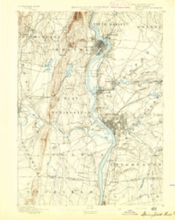
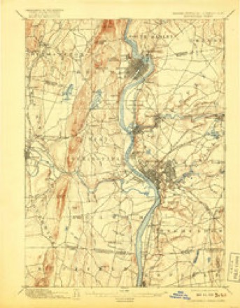
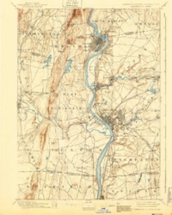
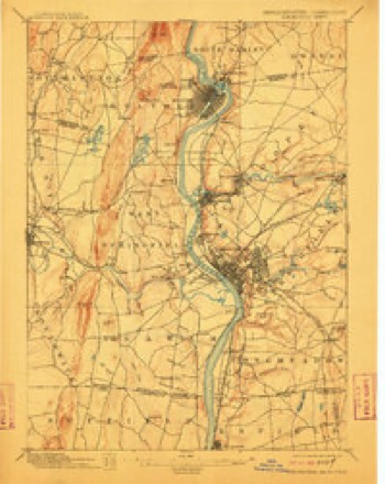
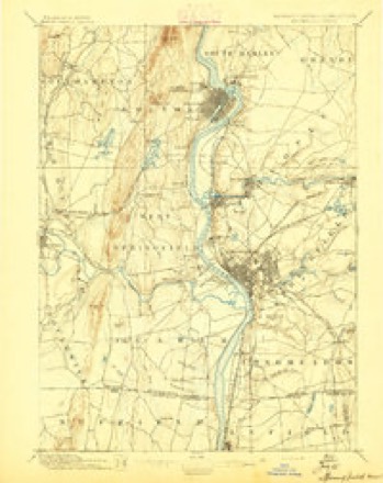
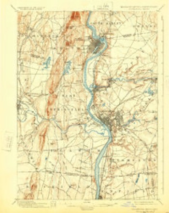
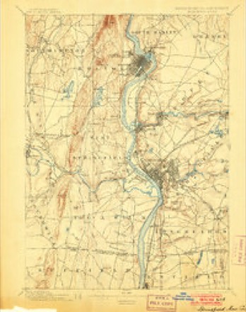
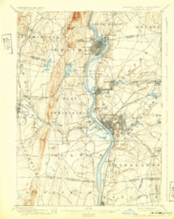
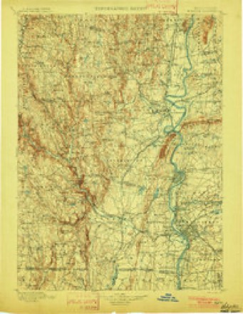
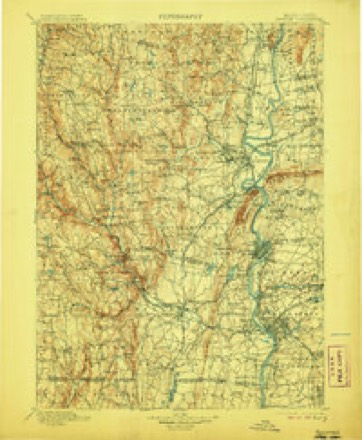
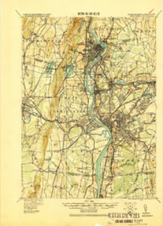
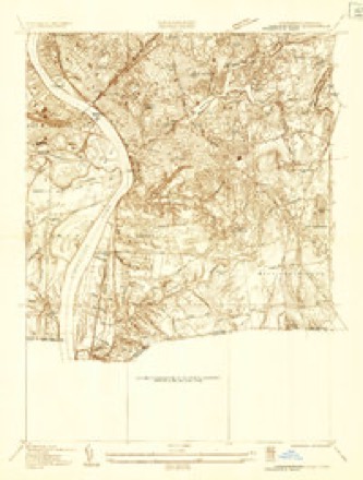
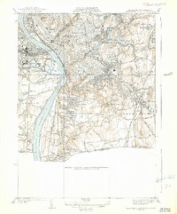
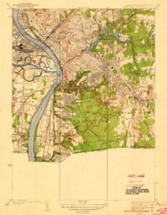
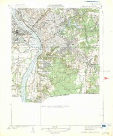
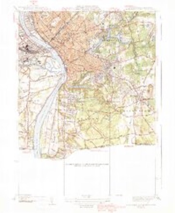
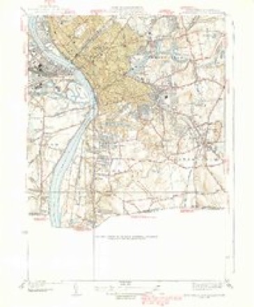
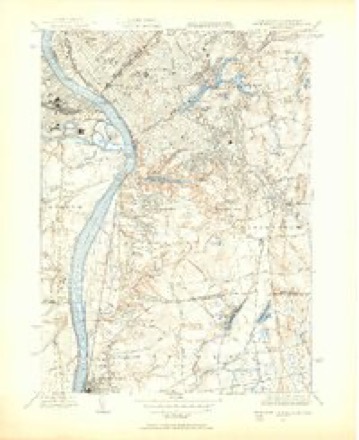
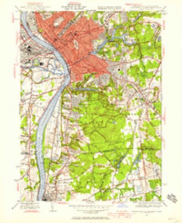
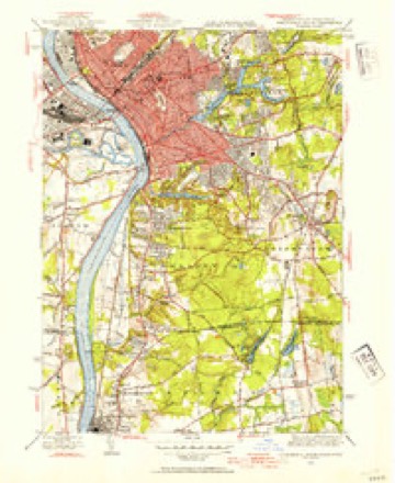
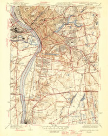
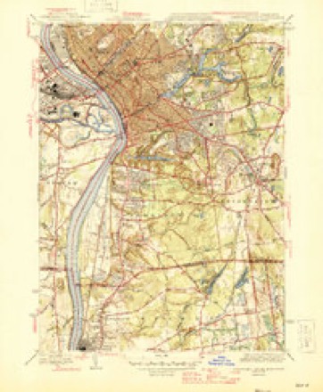
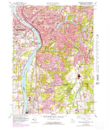
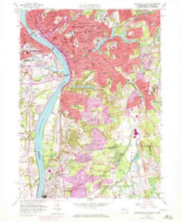
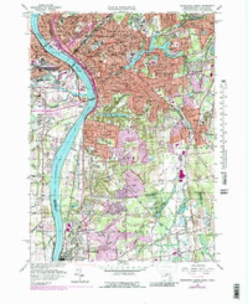
50 topographic sheets cover this place, the earliest surveyed in 1886 and the latest in 1985. It stands in Springfield City. It lies in ZIP code area 01144. It stands on Mill River. The Survey maps it on the Springfield South quadrangle. 155,929 people lived here at the 2020 count. It stands 230 feet above sea level.
Research this city
This curated hub for Hampden County, Massachusetts brings together the page's documented record links, visible map or image evidence where published, and routes to related local records.
What is documented here?
Use the page's provenance and linked records to distinguish the source material from the site's navigation and summaries.
How should I cite it?
Open the original record, preserve its repository and identifier, then use the citation tool for this page as a path back to the source.
Where should I go next?
Follow the county or state hub for related places and records, then use the guide for a source-aware research sequence.
Population over time
4 figuresSpringfield fell from 160,000 to 155,929 between 1974 and 2020. These are the recorded population figures Wikidata holds for this place, reached through the Geographic Names Information System number this page is keyed on rather than by name, so they belong to this place and not to another of the same name. Most are census counts, but not all are: an early figure may be a founding or settlement estimate. The change column is computed, and is left blank where more than 20 years separate a figure from the one before it, because a gap that long is not a change between two counts.
| Year | People | Change |
|---|---|---|
| 1974 | 160,000 | |
| 1984 | 150,000 | -10,000 (-6%) |
| 2010 | 153,060 | |
| 2020 | 155,929 | +2,869 (+2%) |
Then and now
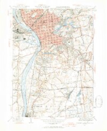
1886 to 1985The same ground, surveyed 99 years apart. Drag the handle to wipe between them. Both sheets are United States Geological Survey originals; neither has been altered.
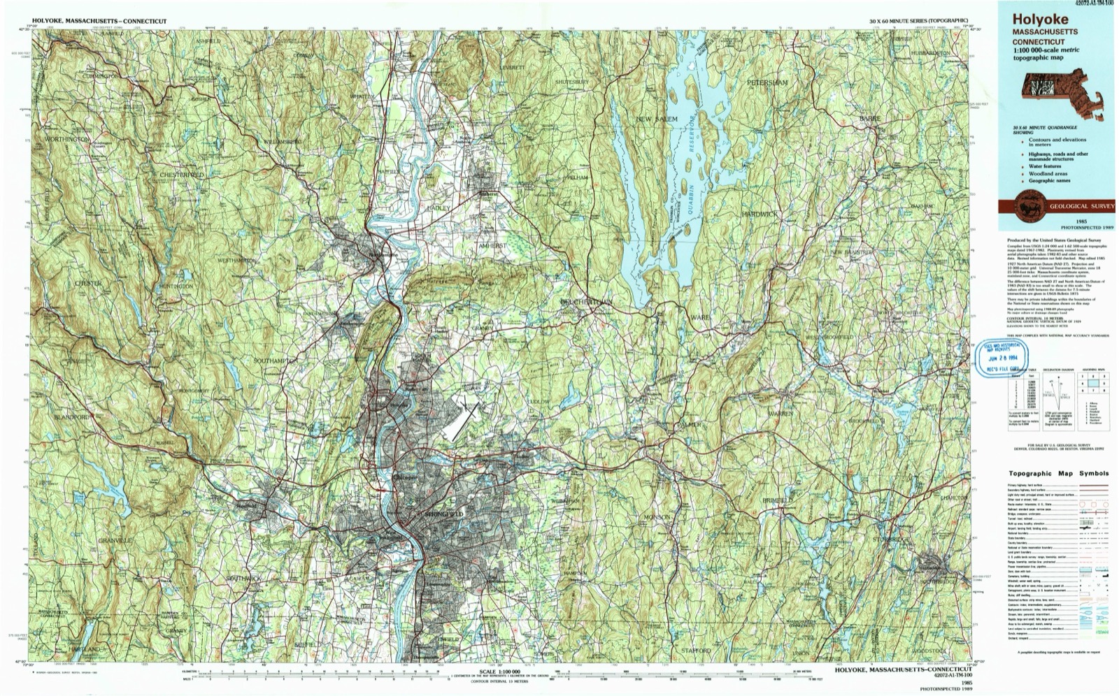
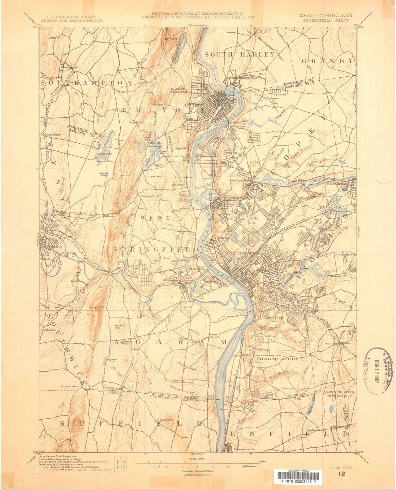
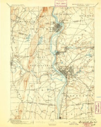
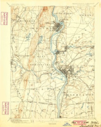
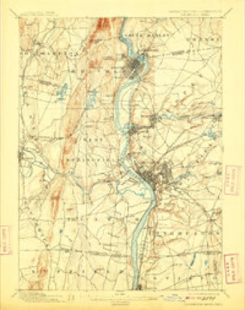
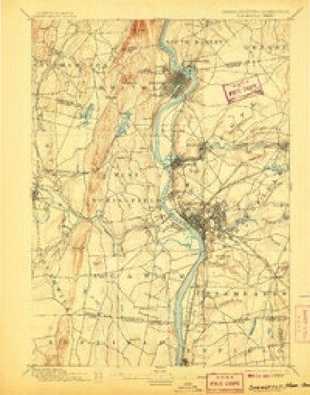
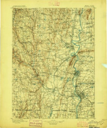
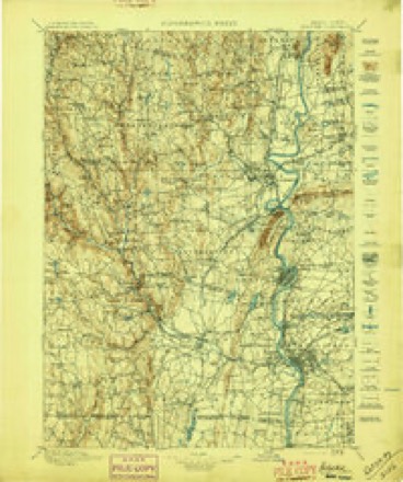
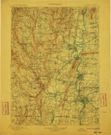
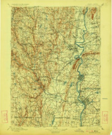
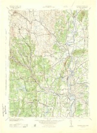
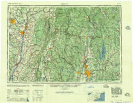
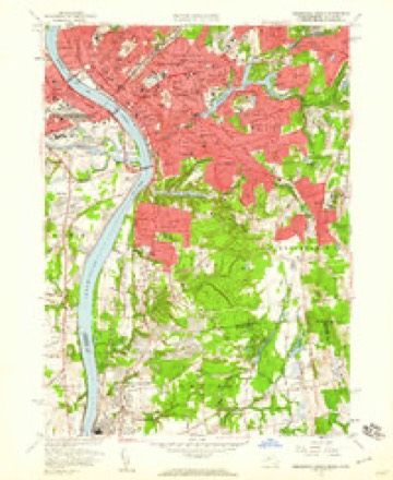
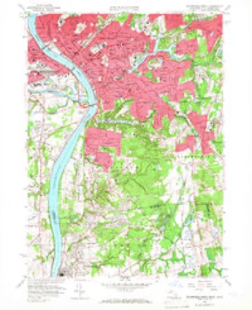
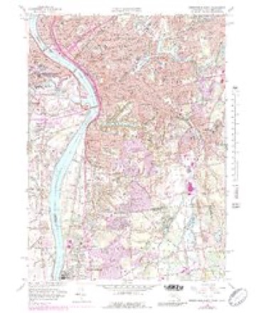
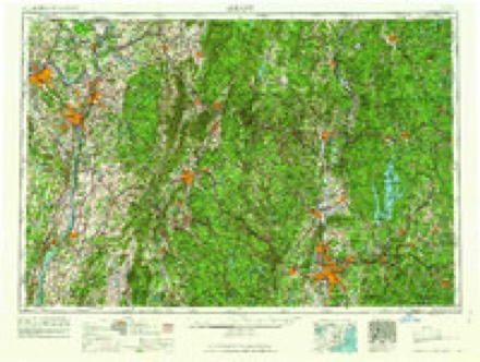
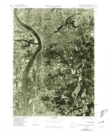
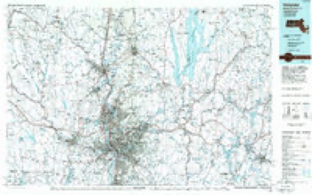
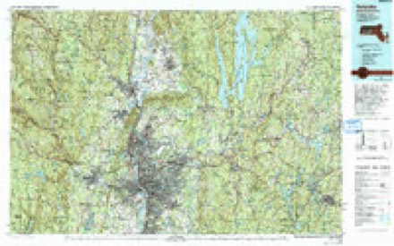
Topographic sheets covering this place
50 sheetsMatched by testing this settlement's coordinate against the published boundary of every sheet in the United States Geological Survey's historical collection. Each opens the scanned sheet at the Survey.
- 1886 USGS Springfield quadrangle1:62500
- 1889 USGS Springfield quadrangle1:62500
- 1893 USGS Springfield quadrangle1:62500
- 1895 USGS Springfield quadrangle1:62500
- 1895 USGS Springfield quadrangle1:62500
- 1895 USGS Springfield quadrangle1:62500
- 1895 USGS Springfield quadrangle1:62500
- 1895 USGS Springfield quadrangle1:62500
- 1895 USGS Springfield quadrangle1:62500
- 1895 USGS Springfield quadrangle1:62500
- 1895 USGS Springfield quadrangle1:62500
- 1895 USGS Springfield quadrangle1:62500
- 1895 USGS Springfield quadrangle1:62500
- 1895 USGS Springfield quadrangle1:62500
- 1896 USGS Holyoke quadrangle1:125000
- 1897 USGS Holyoke quadrangle1:125000
- 1901 USGS Holyoke quadrangle1:125000
- 1901 USGS Holyoke quadrangle1:125000
- 1901 USGS Holyoke quadrangle1:125000
- 1901 USGS Holyoke quadrangle1:125000
- 1920 USGS Springfield quadrangle1:62500
- 1928 USGS Long Meadow quadrangle1:24000
- 1933 USGS Longmeadow quadrangle1:24000
- 1938 USGS Springfield South quadrangle1:31680
- 1938 USGS Springfield South quadrangle1:31680
- 1938 USGS Springfield South quadrangle1:31680
- 1939 USGS Springfield South quadrangle1:31680
- 1939 USGS Springfield South quadrangle1:31680
- 1943 USGS Holyoke quadrangle1:125000
- 1944 USGS Springfield South quadrangle1:31680
- 1944 USGS Springfield South quadrangle1:31680
- 1944 USGS Springfield South quadrangle1:24000
- 1944 USGS Springfield South quadrangle1:31680
- 1946 USGS Springfield South quadrangle1:31680
- 1946 USGS Springfield South quadrangle1:31680
- 1948 USGS Albany quadrangle1:250000
- 1956 USGS Albany quadrangle1:250000
- 1956 USGS Albany quadrangle1:250000
- 1957 USGS Albany quadrangle1:250000
- 1958 USGS Springfield South quadrangle1:24000
- 1958 USGS Springfield South quadrangle1:24000
- 1958 USGS Springfield South quadrangle1:24000
- 1958 USGS Springfield South quadrangle1:25000
- 1958 USGS Springfield South quadrangle1:24000
- 1958 USGS Springfield South quadrangle1:25000
- 1959 USGS Albany quadrangle1:250000
- 1962 USGS Albany quadrangle1:250000
- 1975 USGS Springfield South quadrangle1:25000
- 1985 USGS Holyoke quadrangle1:100000
- 1985 USGS Holyoke quadrangle1:100000
Photographs
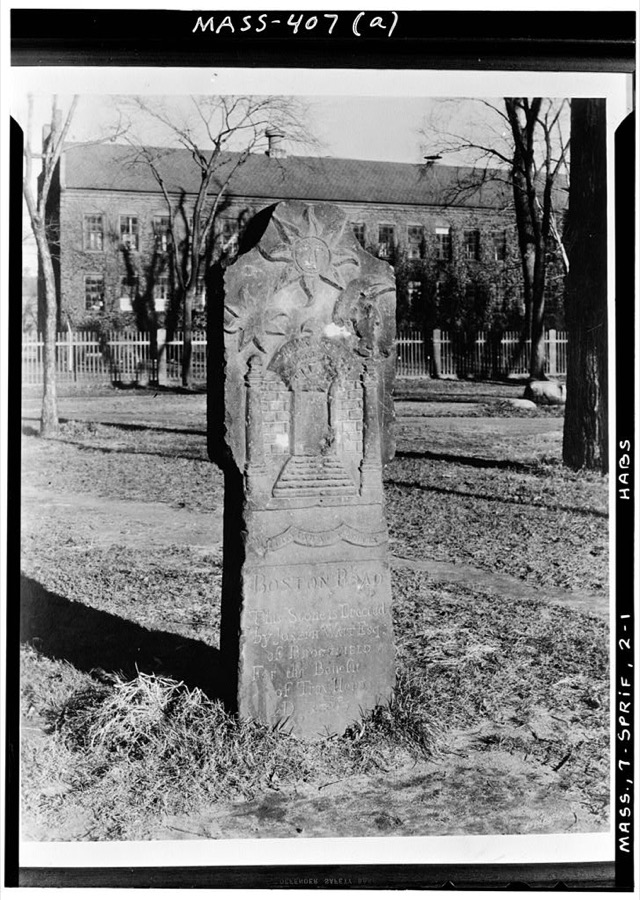
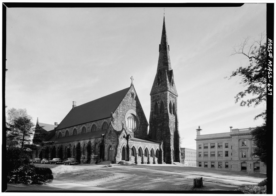
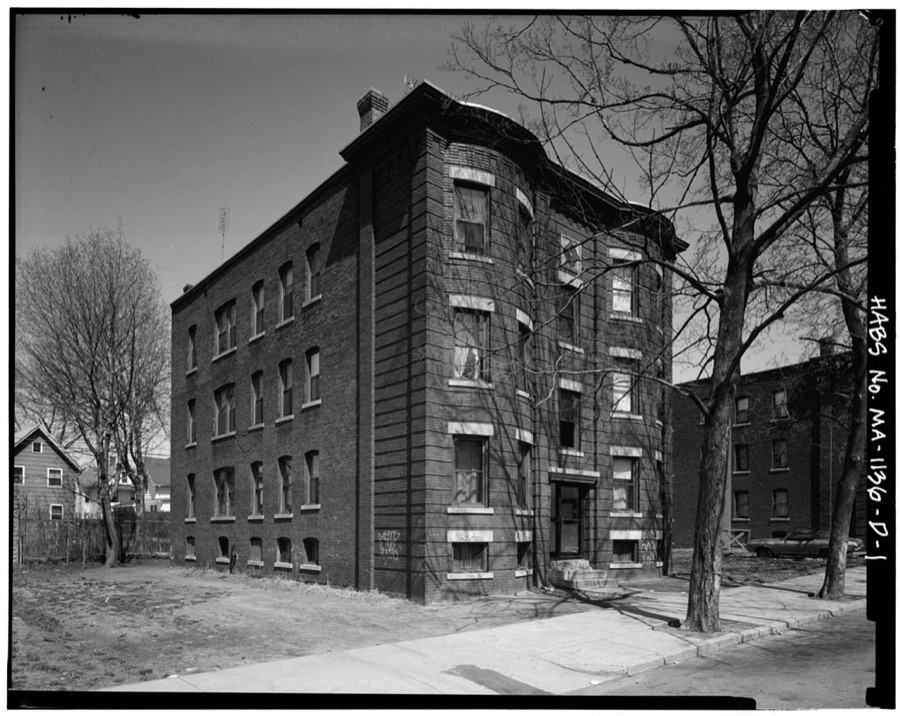
8 photographs, 1941Taken for the Office of War Information and the Farm Security Administration, who photographed the country between 1935 and 1944. Works of United States government photographers, with no known restriction on use. Each opens its catalogue record.

Unattributed, 1941. Library of Congress
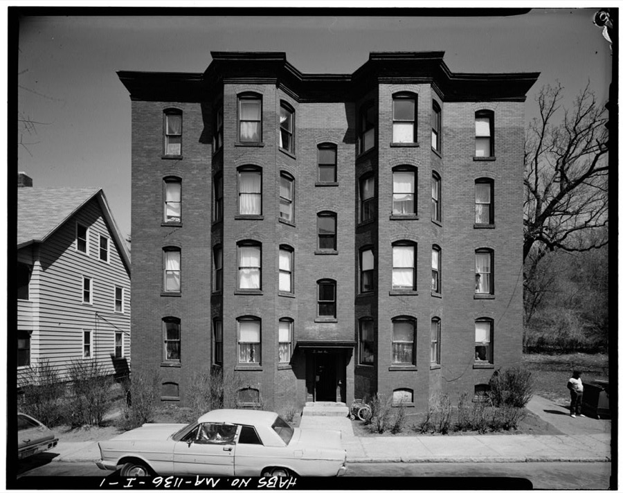
Unattributed, . Library of Congress
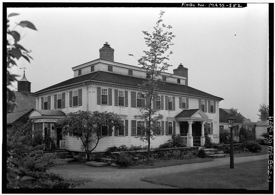
Unattributed, . Library of Congress
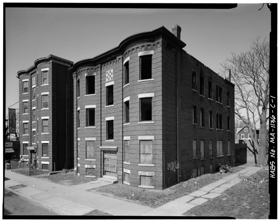
Unattributed, . Library of Congress
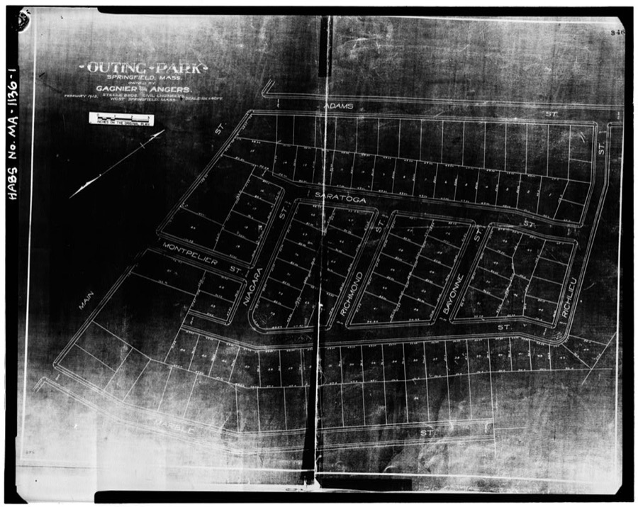
Unattributed, . Library of Congress
Unattributed, . Library of Congress
Unattributed, . Library of Congress
Unattributed, . Library of Congress
Fires nearby
538 since 2015The federal wildfire occurrence database lists 538 fires within 5 miles of Springfield between 2015 and 2020, burning about 185 acres in total. 25 started naturally. 2 were recorded as arson. Distance is straight-line from the map coordinates, so a fire counted here may appear on a neighbouring settlement's page as well.
| Reported cause | Fires |
|---|---|
| Missing data/not specified/undetermined | 297 |
| Equipment and vehicle use | 128 |
| Debris and open burning | 33 |
| Recreation and ceremony | 28 |
| Natural | 25 |
| Smoking | 21 |
| Misuse of fire by a minor | 4 |
| Arson/incendiarism | 2 |
The most recent of them, most recent first, with the day each was reported and the service that recorded it.
| Date | Cause | Size | Reported by | Name on the report |
|---|---|---|---|---|
| 9 September 2015 | Missing data/not specified/undetermined | under an acre | Massachusetts Bureau of Forest Fire Control | not named |
| 8 September 2015 | Missing data/not specified/undetermined | under an acre | Massachusetts Bureau of Forest Fire Control | not named |
| 8 September 2015 | Missing data/not specified/undetermined | under an acre | Massachusetts Bureau of Forest Fire Control | not named |
| 7 September 2015 | Missing data/not specified/undetermined | under an acre | Massachusetts Bureau of Forest Fire Control | not named |
| 6 September 2015 | Missing data/not specified/undetermined | under an acre | Massachusetts Bureau of Forest Fire Control | not named |
| 6 September 2015 | Missing data/not specified/undetermined | under an acre | Massachusetts Bureau of Forest Fire Control | not named |
| 5 September 2016 | Missing data/not specified/undetermined | under an acre | Massachusetts Bureau of Forest Fire Control | not named |
| 5 September 2015 | Missing data/not specified/undetermined | under an acre | Massachusetts Bureau of Forest Fire Control | not named |
Settlements close enough to share some of these fires:
Specimens collected nearby
12 of 1,611 shownMuseums hold 1,611 specimens collected within 10 miles of Springfield between 1844 and 1975: 617 Animalia, 515 Plantae, 428 Fungi, 40 Chromista, 11 Unrecorded. 12 distinct Species records are shown. Collected by A. B. Seymour, A. E. Kirk, A. K. Harrison, F. G. Floyd and others. Each is a physical object with a catalogue number, and each entry opens the museum's record. This is what was collected and kept, not a survey of what lives here - nothing can be concluded from a species being absent.
| Image | Species | Year | Collected by | Where, as recorded |
|---|---|---|---|---|
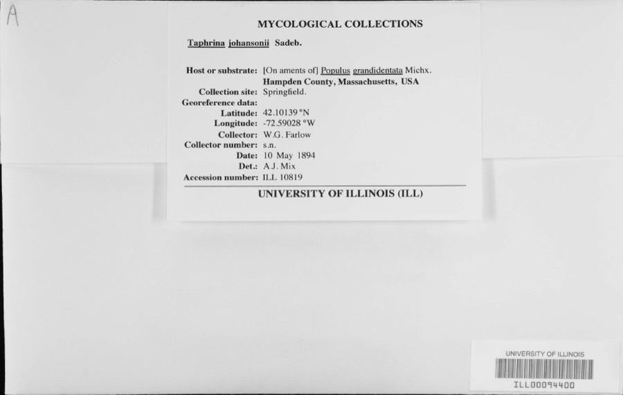 | Taphrina johansonii Sadeb. | 1894 | W.G. Farlow | |
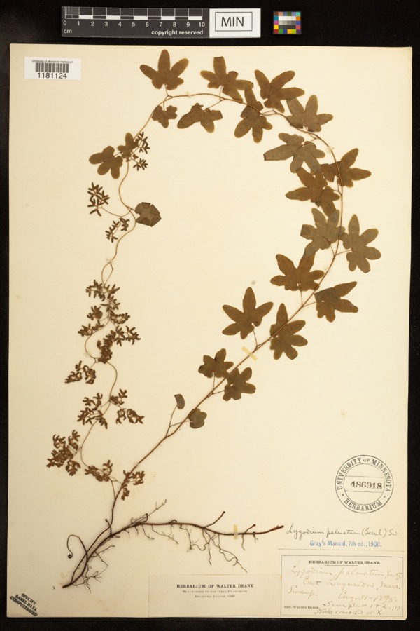 | Lygodium palmatum (Bernh.) Sw. | 1895 | Deane, Walter | East Longmeadow;;;; |
 | Calligrapha rhoda Knab, 1909 | 1900 | F. Knab | West Springfield |
 | Carex siccata Dewey | 1844 | Collector unknown | |
 | Amphicarpaea bracteata (L.) Fernald | 1845 | Collector unspecified | |
 | Galeopsis tetrahit L. | 1845 | not recorded | |
 | Alopecurus geniculatus L. | 1850 | not recorded | |
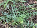 | Lactuca hirsuta Muhl. ex Nutt. | 1850 | Collector unspecified | |
 | Carex canescens L. | 1852 | Collector unknown | Westfield. |
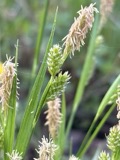 | Carex pallescens L. | 1852 | Collector unknown | Westfield |
 | Eurybia schreberi (Nees) Nees | 1852 | C. A. Shurtleff | |
| Alnus incana (L.) Moench | 1891 | unknown | Woods Hall. |
All 1,611 specimens within 10 miles, at the Global Biodiversity Information Facility.
Mines and quarries nearby
10 of 31 shownThe federal mineral resources record lists 31 workings within 5 miles of Springfield: 15 past producers, 13 producers, 1 unknown, 1 occurrence. 14 still produce. What was taken out: Sand and Gravel, Construction, Brick Clay, Clay, Stone, Dimension. Distance is straight-line from the map coordinates, so a quarry counted here may appear on a neighbouring settlement's page as well.
| Where | Site | Commodity | Status | Recorded |
|---|---|---|---|---|
| Construction Aggregates Pit | Granite, Stone, Crushed/Broken | Producer | ||
| Macia Emery Mine | Emery | Occurrence | Emery | |
| W. New England Smelting Works Inc | Copper | Producer | ||
| Bay State Refining Co--Chicopee, Ma | Aluminum | Plant | ||
| Chicopee Plant | Aluminum | Past Producer | ||
| Granby Quarry No 1 | Stone, Crushed/Broken | Past Producer | ||
| Trap Rock Quarry | Stone, Crushed/Broken | Producer | ||
| Trap Rock Quarry | Stone, Crushed/Broken | Past Producer | ||
| Sandstone Quarry | Stone, Dimension | Producer | Sandstone | |
| Sandstone Quarry | Stone, Dimension | Producer | Sandstone |
Storms nearby
60 of 134 shownThe National Weather Service names Springfield in 134 storm reports between 1993 and 2025: 69 thunderstorm wind, 41 hail, 11 flood, 6 lightning. The reports record 2 injuries. Each account below is quoted exactly as the forecast office filed it, from the NOAA Storm Events Database, and each date opens the federal record of that event.
| When | Event | Place named | Harm | What the report says |
|---|---|---|---|---|
| July 2008 | Thunderstorm Wind | West Springfield | 2 hurt, $10,000 | A tree on Interstate 91 near the Massachusetts Turnpike was downed by thunderstorm winds onto a car, puncturing the windshield. A 61 year old man and a 57 year old woman were injured. Rescuers had to cut through the tree before they could get to the people in the car. The man was able to climb out by himself once the tree was out of the way, but the woman had to be extricated. This also blocked both southbound lanes of Interstate 91 bringing traffic to a complete stop. |
| August 2013 | Hail | West Springfield | $3,000,000 | Quarter to half dollar size hail fell on Main Street, accumulating up to two inches in spots. A car on Fairview Avenue was damaged with numerous hail dents. There were also several reports of nickel size hail in the area of Riverdale Road. About 500 cars at the Balise family of car dealerships were damaged. Damage ranged from minimal to extensive. Further damage was found two weeks later, when heavy rain fell through small holes in the roof of Chestnut Middle School, resulting in water damage. |
| August 2006 | Thunderstorm Wind | West Springfield | $275,000 | no account filed |
| August 2011 | Flood | West Springfield | $200,000 | After receiving three to eight inches of heavy rain from Tropical Storm Irene, flooding resulted in the closure of Route 20 in West Springfield at Sibley Avenue. |
| July 2011 | Thunderstorm Wind | East Springfield | $75,000 | Trees and wires on Berkshire Avenue, Locust, Paramount, Stuart and Brewster Streets, Wellfleet Drive, Memorial Drive, and several other streets in the Indian Orchard neighborhood were downed by thunderstorm winds. Trees fell on houses on Paramount and Brewster Streets. A person was trapped in the house on Paramount Street, but was uninjured. |
| May 2010 | Thunderstorm Wind | West Springfield | $75,000 | Multiple utility poles and trees were downed across West Springfield and Agawam, including several utility poles along Route 5 in West Springfield. |
| July 2011 | Thunderstorm Wind | East Springfield | $50,000 | Trees were downed onto several houses on Grochmal Avenue in the Indian Orchard section of Springfield. These trees fell in such a way that people were trapped inside the houses. No one was injured. Several trees in the area were also uprooted. |
| June 2011 | Thunderstorm Wind | East Springfield | $50,000 | Large trees were downed onto two houses and a car. The houses were on Quincy Street. |
| July 2010 | Lightning | East Springfield | $50,000 | A lightning strike ignited an attic fire at a house on Locust Street. |
| May 2010 | Thunderstorm Wind | West Springfield | $50,000 | The Automated Surface Observing System at Barnes Municipal Airport (KBAF) recorded a wind gust of 58 mph. In addition, many trees and wires were downed by thunderstorm winds, including a four foot diameter oak tree on Morgan Road in West Springfield. On City View Avenue in West Springfield, a tree and utility pole were downed, blocking the road. Two power poles were downed near the intersection of East Elm Street and Riverdale Road. |
| May 2010 | Thunderstorm Wind | Springfield | $35,000 | Multiple trees on Cottage and Garden Streets and Roosevelt and Berkshire Avenues were downed by thunderstorm winds. |
| July 2006 | Thunderstorm Wind | Springfield | $35,000 | no account filed |
| August 2018 | Flood | Springfield | $30,000 | At 1:11 PM EST, water was reported entering basements on the 1300 block of Main Street in Springfield. |
| May 2010 | Thunderstorm Wind | West Springfield | $30,000 | Trees and wires were downed along Route 20 in West Springfield and in Springfield. A large tree was downed onto a house on Forest Park Avenue in Springfield. |
| May 2010 | Thunderstorm Wind | East Springfield | $25,000 | Numerous large trees were downed by thunderstorm winds. |
| August 2004 | Thunderstorm Wind | West Springfield | $25,000 | no account filed |
| February 2016 | Thunderstorm Wind | West Springfield | $20,000 | Trees on Adrian Avenue, Craiwell Avenue, Upper Beverly Street, and Sibley Avenue in West Springfield were downed by thunderstorm winds. |
| June 2011 | Thunderstorm Wind | West Springfield | $20,000 | A tree on Cold Spring Avenue was downed onto a car by thunderstorm winds. |
| June 2010 | Thunderstorm Wind | West Springfield | $20,000 | Several trees were downed across West Springfield, including one down on a car on Route 5 near Memorial Bridge and one down on Circuit Avenue. Several large limbs were also downed on Fairview Avenue. |
| July 2010 | Lightning | East Springfield | $20,000 | A lightning strike ignited a house fire on Perkins Street. |
| September 2008 | Flood | West Springfield | $20,000 | Heavy rain associated with Tropical Storm Hanna ranged from three and a half to five and a half inches. This resulted in widespread street flooding across central Hampden County. The Union Street underpass in West Springfield was flooded. In Wilbraham, multiple roads were flooded, including Main Street and several locations on Route 20 and Route 32. Minor mudslides occurred on Route 32. Both Holyoke and Springfield experienced widespread street flooding. Route 32 and several other roads were rendered impassable by floodwaters in Monson. Several vehicles on these roads became disabled. In addition, three residences were flooded along a retention road. |
| July 2014 | Thunderstorm Wind | West Springfield | $15,000 | Trees were downed on several streets, including Park and Main. A tree was downed onto two cars on Amostown Road. |
| July 2008 | Lightning | East Springfield | $15,000 | A house on Wistaria Street was struck by lightning and caught fire. |
| August 2005 | Thunderstorm Wind | West Springfield | $15,000 | no account filed |
| May 2025 | Thunderstorm Wind | East Springfield | $12,000 | In Springfield, there was a large tree blocking Delmore St. There was a large tree on two houses on Jeffery St. There was a tree down on a house near Allen St. There was a tree down on a house near Providence St. There was a tree down near Peekskill Ave. |
| May 2006 | Thunderstorm Wind | West Springfield | $12,000 | no account filed |
| July 2022 | Thunderstorm Wind | East Springfield | $10,000 | In Springfield, a large tree was down on cars on Brookdale Drive. Photo shared on Twitter. |
| July 2014 | Thunderstorm Wind | West Springfield | $10,000 | Trees on Highland Avenue were downed by thunderstorm winds. |
| July 2014 | Thunderstorm Wind | West Springfield | $10,000 | A tree on High Street was downed by thunderstorm winds, blocking the road. Trees and wires along Prospect Avenue were downed as well. |
| July 2014 | Thunderstorm Wind | East Springfield | $10,000 | A large tree was downed onto a house on Ambrose Street. Wires were downed on Prospect Avenue and Hunter's Place. |
| August 2013 | Thunderstorm Wind | West Springfield | $10,000 | A tree was downed onto a car on Elm Street in West Springfield. In addition, a window was broken on Main Street, presumable from the windblown large hail. |
| May 2010 | Thunderstorm Wind | West Springfield | $10,000 | Trees on Cooper Street were downed by thunderstorm winds. |
| July 2008 | Thunderstorm Wind | East Springfield | $10,000 | Trees and wires in the Porter Lake area, including Berkshire Avenue and River Street, were downed by thunderstorm winds. One of these trees was downed onto a car. |
| June 2006 | Thunderstorm Wind | Springfield | $10,000 | no account filed |
| May 2006 | Thunderstorm Wind | West Springfield | $10,000 | no account filed |
| July 2002 | Thunderstorm Wind | West Springfield | $10,000 | no account filed |
| August 2021 | Thunderstorm Wind | West Springfield | $8,000 | In West Springfield, there were numerous trees downed by an isolated severe thunderstorm. On Elm Street there was a six-inch branch down. Trees were down on Woodmont Street and on Amostown Road at Fausey Drive. A large tree and wires were down on Piper Road. A large tree was down on a house on Churchill Street. Wires were down on on Vincent Drive, Morgan Road, and Smyrna Street. |
| October 2008 | Flood | Springfield | $8,000 | Heavy rain fell across Hampden County. Up to two feet of water collected in several locations in Springfield and West Springfield, including Cambridge Street and Route 5. Several cars flooded out. |
| July 2021 | Thunderstorm Wind | West Springfield | $6,000 | In West Springfield, a utility pole was down on Route 20 at Dewey Street. A tree was down on wires on Birnie Avenue. |
| August 2024 | Thunderstorm Wind | Springfield | $5,000 | In Springfield, a tree fell down on a car on Dwight St. The person inside was freed and was ok. |
| July 2018 | Flash Flood | West Springfield | $5,000 | At 2 PM EST, a thunderstorm moving over Westfield and West Springfield created downpours over the area. A car was trapped in flood waters on Old Westfield Road in West Springfield. |
| July 2018 | Flash Flood | West Springfield | $5,000 | At 2:10 PM EST, heavy rain from a thunderstorm flooded and closed U.S.Route 20 in Westfield at the intersection with East Mountain Road. A car was trapped in the flood waters. |
| August 2016 | Thunderstorm Wind | West Springfield | $5,000 | A tree at the corner of Main Street and Burford Avenue was downed by thunderstorm winds. |
| July 2014 | Thunderstorm Wind | East Springfield | $5,000 | A large tree was downed onto a home on Ambrose Street. |
| August 2012 | Flood | West Springfield | $5,000 | One car was stuck at a restaurant on Route 5. Water was up to the floor boards of another car on Prospect Street. The Automated Surface Observing System at Barnes Municipal Airport (KBAF) recorded 1.14 inches of rain in 20 minutes and a total of just under 1.50 inches. |
| August 2012 | Flood | West Springfield | $5,000 | In West Springfield, West School Street was flooded and impassable. The River Street underpass also was flooded with a car stuck in the floodwaters. Meadow Street in Agawam was flooded and impassable. |
| June 2010 | Thunderstorm Wind | East Springfield | $5,000 | A tree and wires on Chestnut Street were downed by thunderstorm winds. |
| August 2009 | Thunderstorm Wind | East Springfield | $5,000 | A tree and large limbs on Paxton Road and Riverdale Street were downed by thunderstorm winds. |
| August 2008 | Lightning | East Springfield | $5,000 | Lightning struck a garage on Menthuen Street resulting in a fire. |
| August 2006 | Thunderstorm Wind | West Springfield | $5,000 | no account filed |
| June 2005 | Lightning | Springfield | $5,000 | no account filed |
| August 2005 | Thunderstorm Wind | West Springfield | $5,000 | no account filed |
| August 2005 | Thunderstorm Wind | West Springfield | $5,000 | no account filed |
| August 2005 | Hail | Springfield | $5,000 | no account filed |
| October 2020 | Thunderstorm Wind | East Springfield | $4,000 | In Springfield, a tree was down on Liberty Street. A tree and wires were down on Birchland Avenue. A tree split and landed on a house on Jeffrey Road. |
| July 2006 | Flood | Springfield | $4,000 | no account filed |
| August 2020 | Lightning | East Springfield | $2,000 | In Springfield, lightning struck a house causing a fire on White St. |
| July 2019 | Thunderstorm Wind | East Springfield | $2,000 | A tree was downed on wires on Route 5 and Route 91. |
| May 2002 | Thunderstorm Wind | Springfield | $2,000 | no account filed |
| July 2002 | Thunderstorm Wind | Springfield | $2,000 | no account filed |
Newspapers printed here
0 digitised pages2 papers published in this town, digitised by the Library of Congress and free to read: 0 issues, 0 pages. Every page is searchable, so a name or a street can be looked for directly in what the town printed about itself at the time.
| Newspaper | Published |
|---|---|
| Springfield Weekly Republican | 1851 to 1946 |
| Springfield Republican | 1838 to 1851 |
What the paper printed
42,248 wordsFront pages of the local paper, read from the Library of Congress scans: 10 issues spread across its run from 1841 to 1946, 42,248 words in total. Each is reproduced on its own page, exactly as the recogniser returned it.
These pages read less well than anything else here, and the number is worth stating: about three words in four come through cleanly, against nine in ten for the building records. An 1896 broadsheet sets eight-point type in seven columns on microfilm, which is the hardest thing in this archive to read by machine. We tested our own recognisers against the Library's and they were not better, so the Library's text is what appears, with the wholly unreadable columns removed. Read it as a guide to what the paper covered, and follow the link to the scan before quoting anything.
| Issue | Paper | Length |
|---|---|---|
| 1841-05-08 | Springfield Republican | 692 words |
| 1841-06-05 | Springfield Republican | 610 words |
| 1841-10-02 | Springfield Republican | 666 words |
| 1841-10-30 | Springfield Republican | 656 words |
| 1847-12-25 | Springfield Republican | 8,034 words |
| 1855-04-07 | Springfield Weekly Republican | 6,200 words |
| 1855-06-16 | Springfield Weekly Republican | 7,915 words |
| 1855-08-25 | Springfield Weekly Republican | 7,752 words |
| 1855-11-03 | Springfield Weekly Republican | 6,904 words |
| 1946-09-26 | Springfield Weekly Republican | 2,819 words |
Nearest settlements
The eight closest, with where each one stands in the county. Distances are straight-line, computed from the Geographic Names Information System coordinates.
| Map | Place | Distance | Sheets |
|---|---|---|---|
| South End | 0.5 miles | 50 | |
| North End | 1.1 miles | 50 | |
| Old Hill | 1.2 miles | 50 | |
| Forest Park | 1.3 miles | 50 | |
| Liberty Heights | 1.5 miles | 50 | |
| McKnight and Bay | 1.6 miles | 50 | |
| West Springfield | 1.7 miles | 50 | |
| Brightwood | 1.8 miles | 50 |
Elsewhere
Matched on this settlement's Geographic Names Information System number rather than its name, so it cannot be a different place of the same name in another state.
| Wikipedia article on Springfield | An encyclopaedic summary. Its text is share-alike, so it is linked here rather than copied. |
| Wikidata item Q49158 | The structured record the population and elevation above come from. Public domain (CC0). |
Provenance
This settlement is recorded in the Geographic Names Information System as feature 609092. The sheet list is computed by point-in-boundary test against the United States Geological Survey's historical topographic inventory. Both are works of the United States government and carry no copyright under 17 U.S.C. 105.
Wildfire. Short, Karen C. 2022. Spatial wildfire occurrence data for the United States, 1992-2020 [FPA_FOD_20221014]. 6th Edition. Fort Collins, CO: Forest Service Research Data Archive. https://doi.org/10.2737/RDS-2013-0009.6 Collected with United States Government funding and usable without additional permissions or fees.
Specimens. Global Biodiversity Information Facility (GBIF), https://www.gbif.org/. Only records licensed CC0 or CC BY are used. Records licensed CC BY-NC are excluded because this site carries advertising. Images are checked individually and any whose licence is non-commercial, no-derivatives or unreadable is refused.
Mines and quarries. USGS Mineral Resources Data System (MRDS) https://mrdata.usgs.gov/mrds/ A work of the United States government, no copyright under 17 U.S.C. 105.
Storms. NOAA National Centers for Environmental Information, Storm Events Database https://www.ncei.noaa.gov/stormevents/ A work of the United States government, no copyright under 17 U.S.C. 105. Narratives are quoted verbatim from the National Weather Service report and are not edited or summarised.