 Block
Block
Agawam, Massachusetts
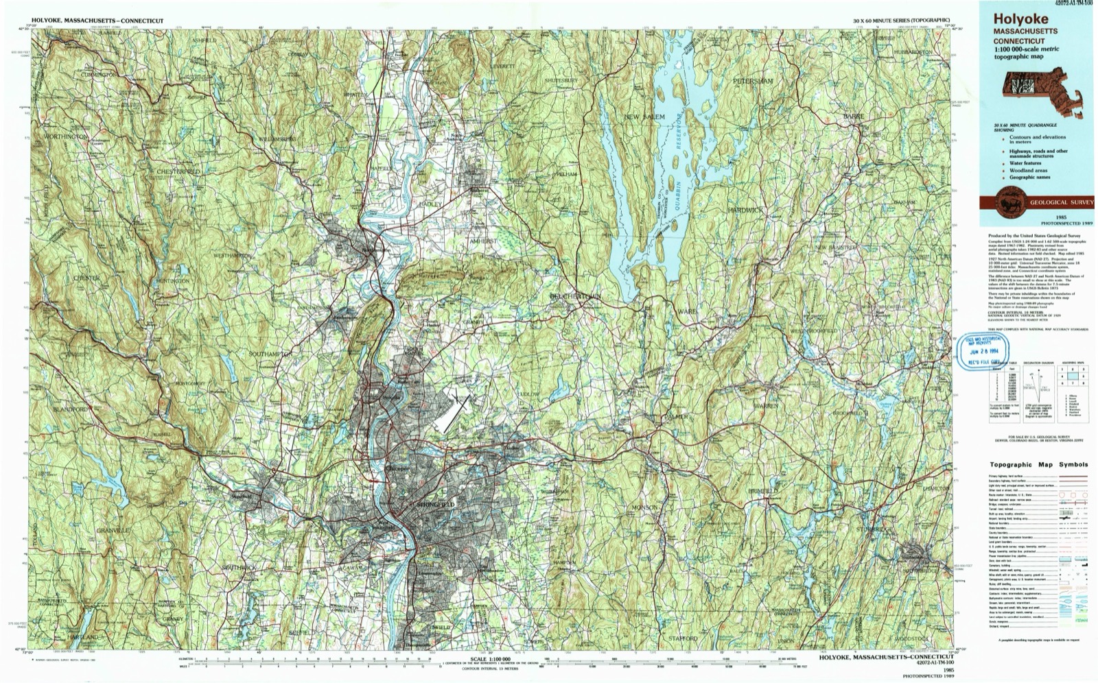
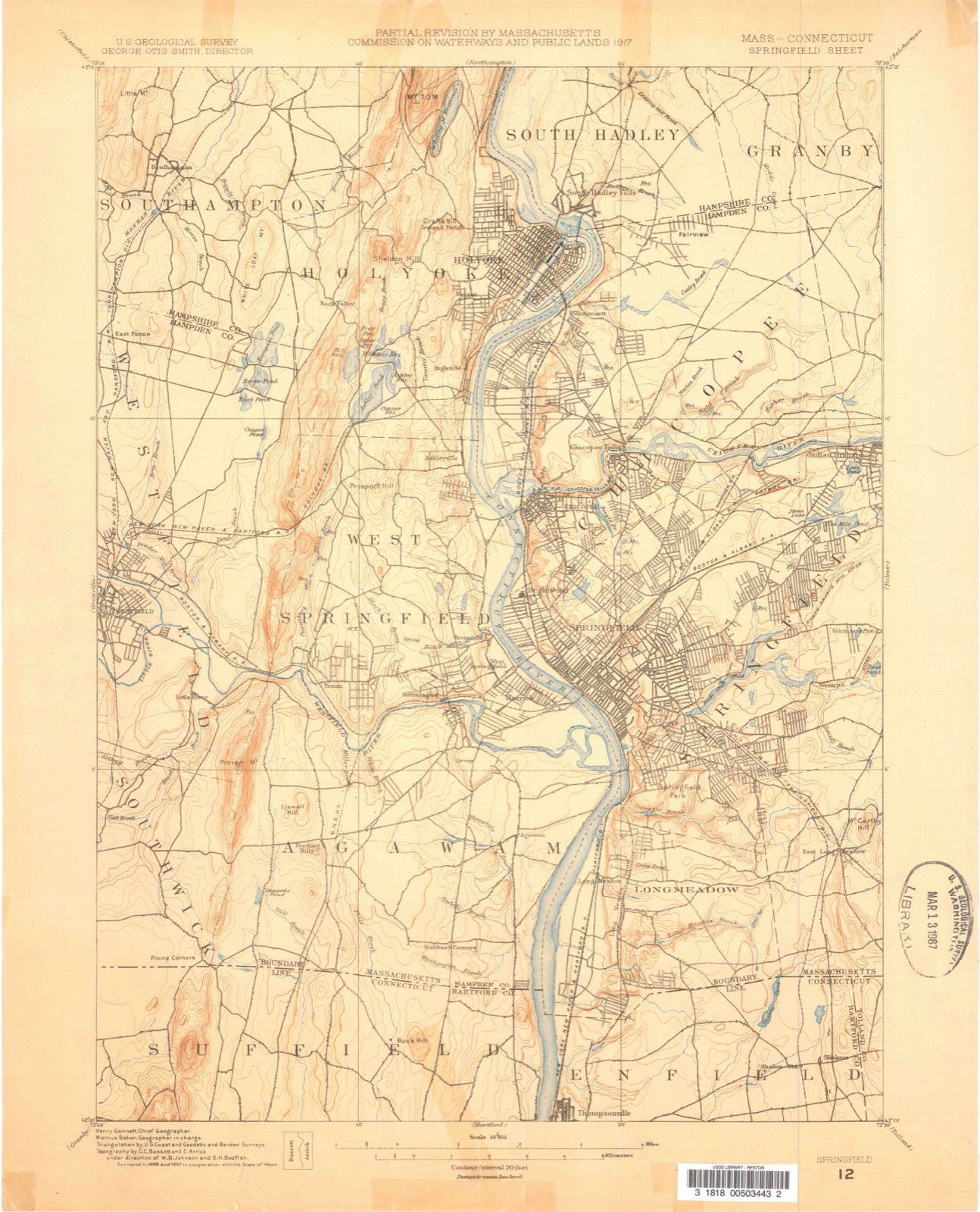
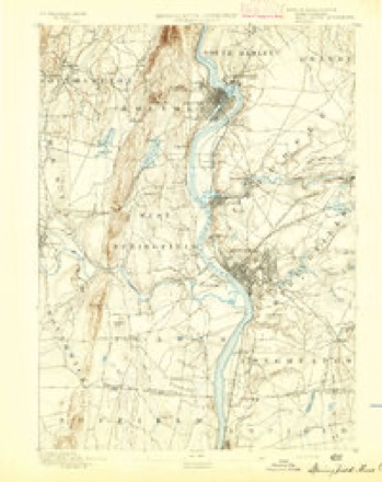
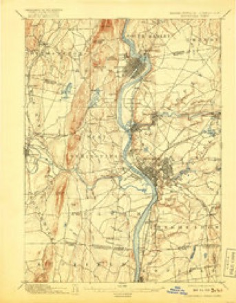
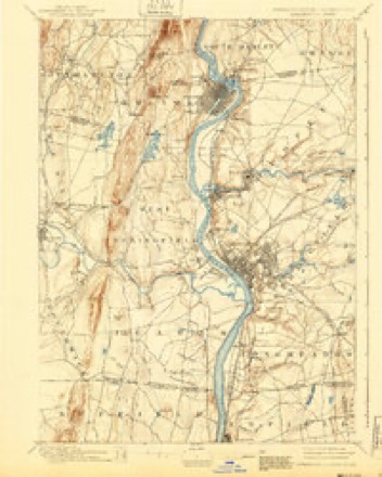
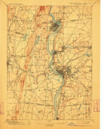
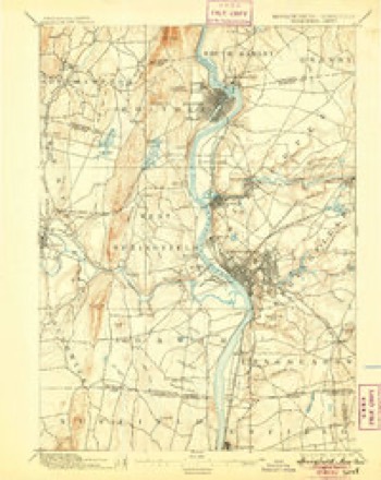
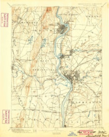
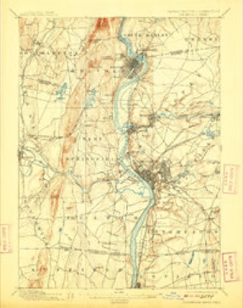
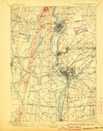
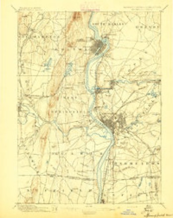
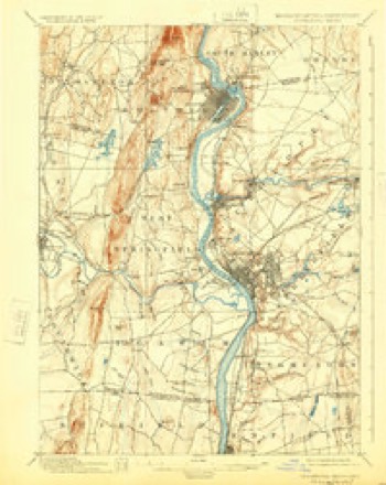
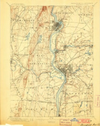
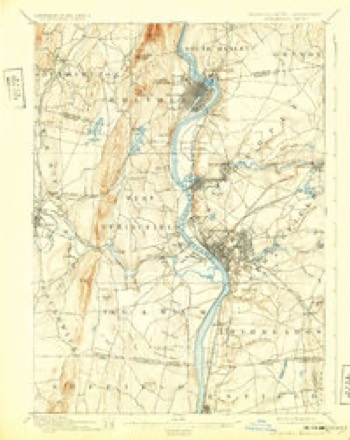
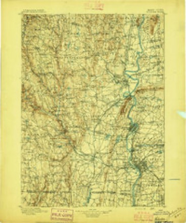
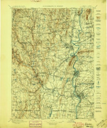
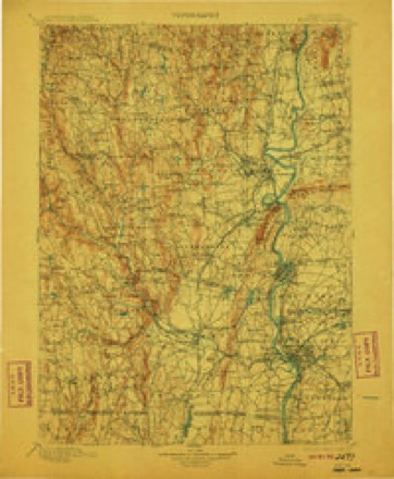
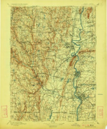
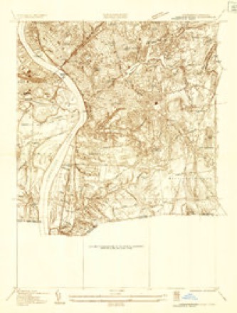
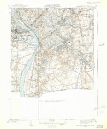
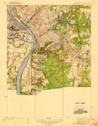
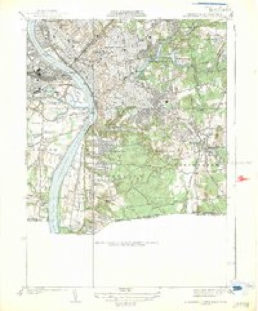
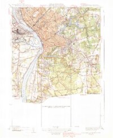
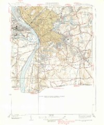
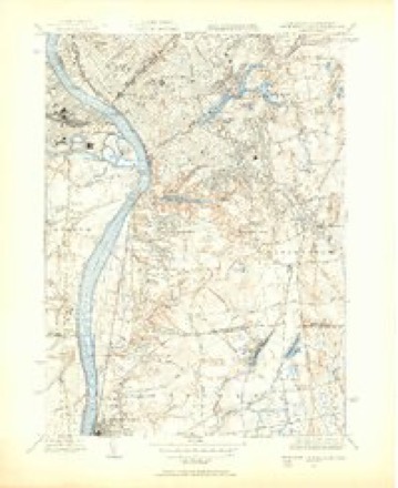
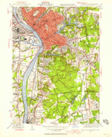
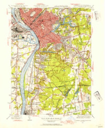
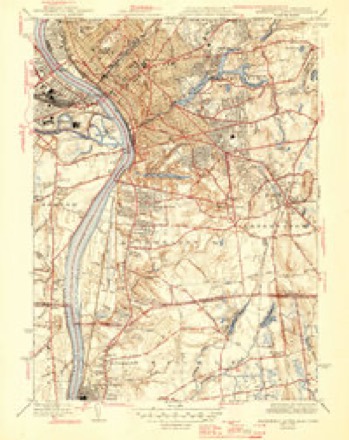
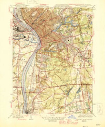
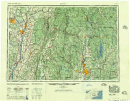
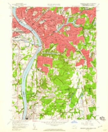
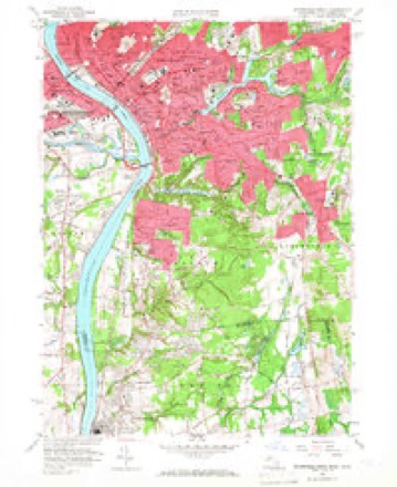
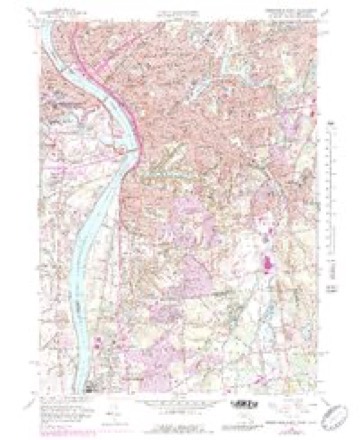
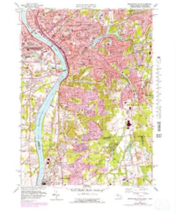
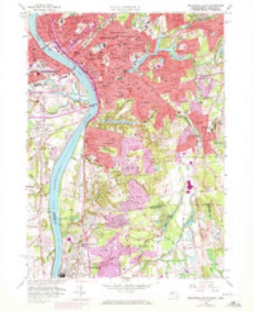
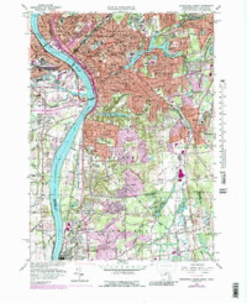
50 topographic sheets cover this place, the earliest surveyed in 1886 and the latest in 1985. It stands in Agawam Town City. It lies in ZIP code area 01001. It stands on Cooley Brook. The Survey maps it on the Springfield South quadrangle.
Research this city
This curated hub for Hampden County, Massachusetts brings together the page's documented record links, visible map or image evidence where published, and routes to related local records.
What is documented here?
Use the page's provenance and linked records to distinguish the source material from the site's navigation and summaries.
How should I cite it?
Open the original record, preserve its repository and identifier, then use the citation tool for this page as a path back to the source.
Where should I go next?
Follow the county or state hub for related places and records, then use the guide for a source-aware research sequence.
Then and now
1886 to 1985The same ground, surveyed 99 years apart. Drag the handle to wipe between them. Both sheets are United States Geological Survey originals; neither has been altered.
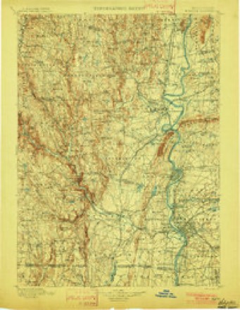
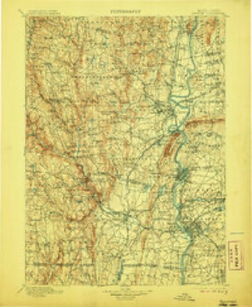
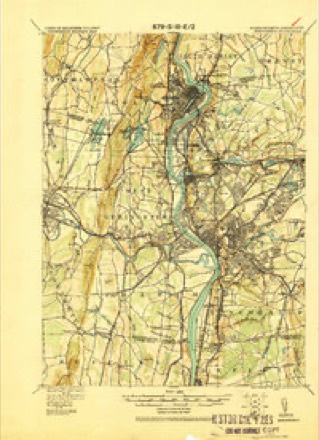
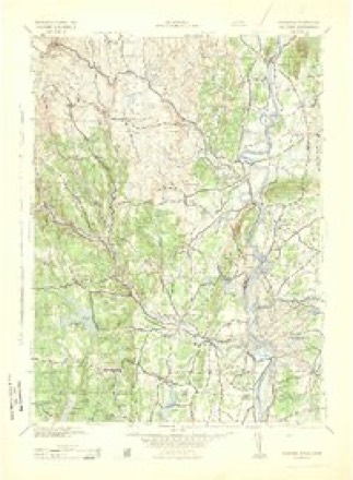
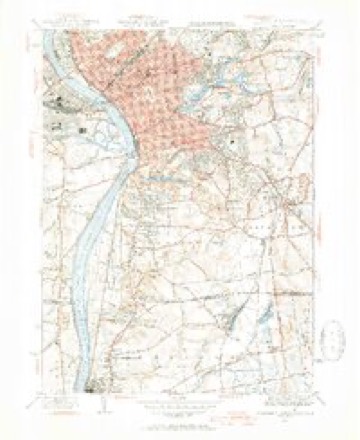
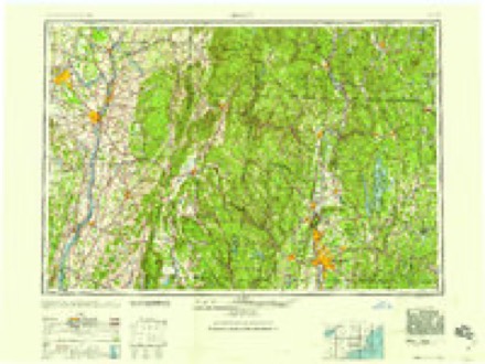
Topographic sheets covering this place
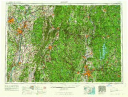
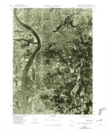
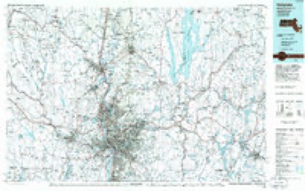
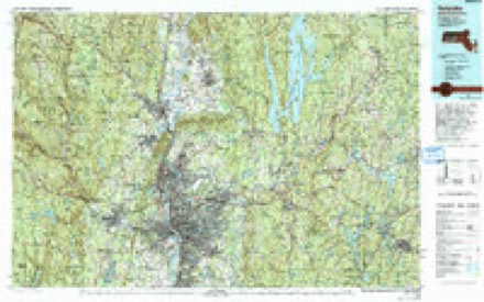
50 sheetsMatched by testing this settlement's coordinate against the published boundary of every sheet in the United States Geological Survey's historical collection. Each opens the scanned sheet at the Survey.
- 1886 USGS Springfield quadrangle1:62500
- 1889 USGS Springfield quadrangle1:62500
- 1893 USGS Springfield quadrangle1:62500
- 1895 USGS Springfield quadrangle1:62500
- 1895 USGS Springfield quadrangle1:62500
- 1895 USGS Springfield quadrangle1:62500
- 1895 USGS Springfield quadrangle1:62500
- 1895 USGS Springfield quadrangle1:62500
- 1895 USGS Springfield quadrangle1:62500
- 1895 USGS Springfield quadrangle1:62500
- 1895 USGS Springfield quadrangle1:62500
- 1895 USGS Springfield quadrangle1:62500
- 1895 USGS Springfield quadrangle1:62500
- 1895 USGS Springfield quadrangle1:62500
- 1896 USGS Holyoke quadrangle1:125000
- 1897 USGS Holyoke quadrangle1:125000
- 1901 USGS Holyoke quadrangle1:125000
- 1901 USGS Holyoke quadrangle1:125000
- 1901 USGS Holyoke quadrangle1:125000
- 1901 USGS Holyoke quadrangle1:125000
- 1920 USGS Springfield quadrangle1:62500
- 1928 USGS Long Meadow quadrangle1:24000
- 1933 USGS Longmeadow quadrangle1:24000
- 1938 USGS Springfield South quadrangle1:31680
- 1938 USGS Springfield South quadrangle1:31680
- 1938 USGS Springfield South quadrangle1:31680
- 1939 USGS Springfield South quadrangle1:31680
- 1939 USGS Springfield South quadrangle1:31680
- 1943 USGS Holyoke quadrangle1:125000
- 1944 USGS Springfield South quadrangle1:31680
- 1944 USGS Springfield South quadrangle1:31680
- 1944 USGS Springfield South quadrangle1:24000
- 1944 USGS Springfield South quadrangle1:31680
- 1946 USGS Springfield South quadrangle1:31680
- 1946 USGS Springfield South quadrangle1:31680
- 1948 USGS Albany quadrangle1:250000
- 1956 USGS Albany quadrangle1:250000
- 1956 USGS Albany quadrangle1:250000
- 1957 USGS Albany quadrangle1:250000
- 1958 USGS Springfield South quadrangle1:24000
- 1958 USGS Springfield South quadrangle1:24000
- 1958 USGS Springfield South quadrangle1:24000
- 1958 USGS Springfield South quadrangle1:25000
- 1958 USGS Springfield South quadrangle1:24000
- 1958 USGS Springfield South quadrangle1:25000
- 1959 USGS Albany quadrangle1:250000
- 1962 USGS Albany quadrangle1:250000
- 1975 USGS Springfield South quadrangle1:25000
- 1985 USGS Holyoke quadrangle1:100000
- 1985 USGS Holyoke quadrangle1:100000
Fires nearby
366 since 2015The federal wildfire occurrence database lists 366 fires within 5 miles of Agawam between 2015 and 2020, burning about 122 acres in total. 16 started naturally. 3 were recorded as arson. Distance is straight-line from the map coordinates, so a fire counted here may appear on a neighbouring settlement's page as well.
| Reported cause | Fires |
|---|---|
| Missing data/not specified/undetermined | 192 |
| Equipment and vehicle use | 94 |
| Recreation and ceremony | 23 |
| Debris and open burning | 22 |
| Natural | 16 |
| Smoking | 14 |
| Arson/incendiarism | 3 |
| Misuse of fire by a minor | 2 |
The most recent of them, most recent first, with the day each was reported and the service that recorded it.
| Date | Cause | Size | Reported by | Name on the report |
|---|---|---|---|---|
| 8 September 2015 | Missing data/not specified/undetermined | under an acre | Massachusetts Bureau of Forest Fire Control | not named |
| 7 September 2015 | Missing data/not specified/undetermined | under an acre | Massachusetts Bureau of Forest Fire Control | not named |
| 6 September 2015 | Missing data/not specified/undetermined | under an acre | Massachusetts Bureau of Forest Fire Control | not named |
| 6 September 2015 | Missing data/not specified/undetermined | under an acre | Massachusetts Bureau of Forest Fire Control | not named |
| 5 September 2015 | Missing data/not specified/undetermined | under an acre | Massachusetts Bureau of Forest Fire Control | not named |
| 4 September 2018 | Equipment and vehicle use | under an acre | Massachusetts Bureau of Forest Fire Control | not named |
| 4 September 2016 | Equipment and vehicle use | under an acre | Massachusetts Bureau of Forest Fire Control | not named |
| 3 September 2015 | Missing data/not specified/undetermined | under an acre | Massachusetts Bureau of Forest Fire Control | not named |
Settlements close enough to share some of these fires:
Specimens collected nearby
12 of 1,330 shownMuseums hold 1,330 specimens collected within 10 miles of Agawam between 1844 and 1975: 537 Animalia, 423 Plantae, 333 Fungi, 26 Chromista, 11 Unrecorded. 12 distinct Species records are shown. Collected by A. B. Seymour, A. B. Seymour; S., A. K. Harrison, F. G. Floyd and others. Each is a physical object with a catalogue number, and each entry opens the museum's record. This is what was collected and kept, not a survey of what lives here - nothing can be concluded from a species being absent.
| Image | Species | Year | Collected by | Where, as recorded |
|---|---|---|---|---|
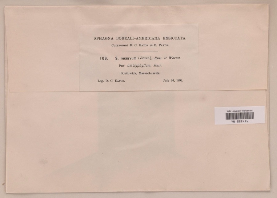 | Sphagnum recurvum P.Beauv. | 1893 | Daniel C. Eaton | |
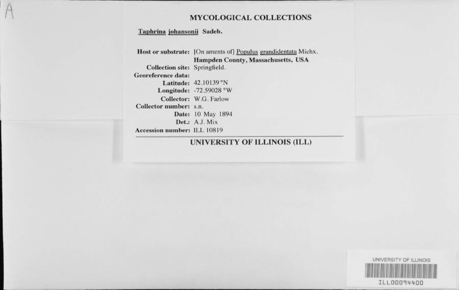 | Taphrina johansonii Sadeb. | 1894 | W.G. Farlow | |
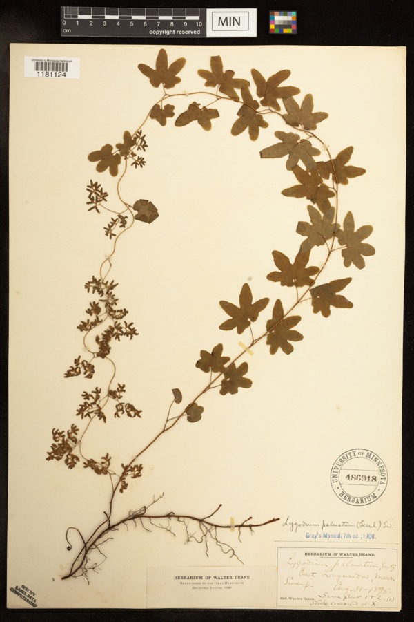 | Lygodium palmatum (Bernh.) Sw. | 1895 | Deane, Walter | East Longmeadow;;;; |
 | Carex siccata Dewey | 1844 | Collector unknown | |
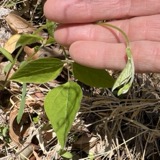 | Amphicarpaea bracteata (L.) Fernald | 1845 | Collector unspecified | |
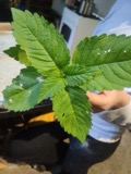 | Galeopsis tetrahit L. | 1845 | not recorded | |
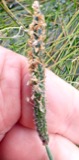 | Alopecurus geniculatus L. | 1850 | not recorded | |
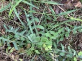 | Lactuca hirsuta Muhl. ex Nutt. | 1850 | Collector unspecified | |
 | Carex canescens L. | 1852 | Collector unknown | Westfield. |
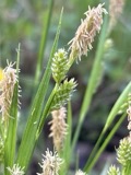 | Carex pallescens L. | 1852 | Collector unknown | Westfield |
 | Eurybia schreberi (Nees) Nees | 1852 | C. A. Shurtleff | |
| Alnus incana (L.) Moench | 1891 | unknown | Woods Hall. |
All 1,330 specimens within 10 miles, at the Global Biodiversity Information Facility.
Mines and quarries nearby
10 of 25 shownThe federal mineral resources record lists 25 workings within 5 miles of Agawam: 12 past producers, 10 producers, 2 occurrences, 1 unknown. 10 still produce. What was taken out: Stone, Crushed/Broken, Sand and Gravel, Construction, Brick Clay, Clay. Distance is straight-line from the map coordinates, so a quarry counted here may appear on a neighbouring settlement's page as well.
| Where | Site | Commodity | Status | Recorded |
|---|---|---|---|---|
| Macia Emery Mine | Emery | Occurrence | Emery | |
| Sandstone Quarry | Stone, Dimension | Producer | Sandstone | |
| Sandstone Quarry | Flagstone | Past Producer | ||
| W. New England Smelting Works Inc | Copper | Producer | ||
| Baxter Sand and Gravel Inc | Sand and Gravel, Construction | Past Producer | Sedimentary | |
| Chase Pit | Sand and Gravel, Construction | Past Producer | ||
| Clay Pit | Brick Clay | Producer | Clay | |
| Clay Pit | Brick Clay | Producer | Clay | |
| Clay Pit | Clay | Past Producer | ||
| Clay Pit | Clay | Past Producer |
Storms nearby
59 since 1993The National Weather Service names Agawam in 59 storm reports between 1993 and 2024: 31 thunderstorm wind, 14 hail, 7 flood, 4 lightning. No death or injury is recorded in these reports. Each account below is quoted exactly as the forecast office filed it, from the NOAA Storm Events Database, and each date opens the federal record of that event.
| When | Event | Place named | Harm | What the report says |
|---|---|---|---|---|
| July 2013 | Thunderstorm Wind | Agawam | $100,000 | A storm survey team from the National Weather Service in Taunton, MA confirmed that a microburst occurred in the town of Agawam. There were two areas of straight line wind damage. One was in the area of Harvey Johnson Blvd where several trees were downed, a few onto houses. The more significant area of damage was the area around Meadow Street where 40 to 50 trees were uprooted and 6 to 12 vehicles were crushed by the fallen trees. Wires were downed in both areas. There were no reports of significant structural damage or injuries or fatalities. |
| June 2006 | Lightning | Agawam | $100,000 | no account filed |
| July 2014 | Thunderstorm Wind | Agawam | $20,000 | A tree was downed onto a trailer home on Springfield Street. A tree on Meadow Road was downed by thunderstorm winds. |
| July 2012 | Flood | Agawam | $20,000 | Several basements flooded on Pine View Circle. |
| September 2003 | Flash Flood | Agawam | $20,000 | no account filed |
| July 2014 | Thunderstorm Wind | Agawam | $15,000 | Trees on Silver Street were downed by thunderstorm winds. Trees were downed onto wires on Main Street and North Westfield Street. |
| August 2012 | Thunderstorm Wind | Agawam | $15,000 | Trees on Rowley and Suffield Streets and Barn Road were downed by thunderstorm winds. Wires were also downed at the intersection of Barn Road and Rowley Street. |
| August 2012 | Lightning | Agawam | $15,000 | Lightning struck a tree in the backyard of a house then jumped to the house resulting in a roof fire. |
| June 2008 | Thunderstorm Wind | Agawam | $15,000 | Trees in Agawam were downed by thunderstorm winds. In East Longmeadow, there were several reports of trees down. This includes trees and large branches downed in the vicinity of 5th and Edmond Streets. Another tree fell on East Longmeadow High School on Maple Street (no damage to the school reported). Trees, poles, and wires also were downed on Berchland and Rodgers Roads. Another tree was downed onto a house on Maple Avenue. There was minor damage to the house. Also, several telephone poles were downed in East Longmeadow. |
| April 2021 | Thunderstorm Wind | Agawam | $10,000 | In Agawam, a pole and wires down on a car on RT 159. |
| July 2014 | Thunderstorm Wind | Agawam | $10,000 | Several trees on Route 57 were downed by thunderstorm winds. |
| June 2013 | Thunderstorm Wind | Agawam | $10,000 | Trees on Meadow Street and Suffield Road were downed by thunderstorm winds. |
| June 2006 | Thunderstorm Wind | Agawam | $10,000 | no account filed |
| August 2008 | Thunderstorm Wind | Agawam | $8,000 | Trees, a phone pole, and wires were downed by thunderstorm winds. |
| February 2016 | Thunderstorm Wind | Agawam | $5,000 | A tree was downed in Agawam, blocking a road. |
| August 2016 | Flood | North Agawam | $5,000 | The intersection of Sylvan and Park Streets was flooded and impassable. The Route 5 tunnel was flooded and traffic was rerouted to the rotary above the tunnel. The Union Street underpass was flooded and impassable with damage to the road. |
| July 2014 | Thunderstorm Wind | Agawam | $5,000 | A tree was downed onto Route 75. |
| March 1997 | Lightning | Agawam | $5,000 | A bolt of lightning struck a house in Agawam during a snowstorm and resulted in an estimated $5,000 damage. |
| July 2019 | Thunderstorm Wind | Agawam | $2,000 | A tree was downed on wires on North Street Extension. |
| August 2021 | Thunderstorm Wind | North Agawam | $1,500 | In Agawam, a tree and wires were down on High Street and Line Street. |
| June 2021 | Thunderstorm Wind | Agawam | $1,300 | In Agawam, trees and wires were down on Main Street. |
| June 2024 | Thunderstorm Wind | Agawam | $1,000 | In Agawam, there was a tree down on the road, blocking traffic along Pine St. There was also a tree down along Suffield St. |
| June 2017 | Thunderstorm Wind | North Agawam | $1,000 | Tree down on wires on Neptune Avenue in West Springfield. Also, a large limb was down on Prospect Avenue and Quarry Road in West Springfield. |
| August 2017 | Thunderstorm Wind | North Agawam | $1,000 | At 240 PM EST, a tree was down on Hanover Street in West Springfield. |
| August 2017 | Thunderstorm Wind | North Agawam | $1,000 | At 11 PM EST, an amateur radio operator reported a tree down on wires on Maple Street in West Springfield. |
| July 2017 | Flood | North Agawam | $1,000 | At 645 PM EST, an amateur radio operator reported that the southbound U.S. Route 5 tunnel in West Springfield was flooded and impassable. |
| July 2022 | Thunderstorm Wind | North Agawam | $800 | In West Springfield, a tree and wires were down. Report relayed by amateur radio. |
| July 2023 | Thunderstorm Wind | North Agawam | $500 | In West Springfield, multiple limbs were down on Park Ave. |
| April 2019 | Lightning | West Agawam | $500 | At 5:22 AM EDT, wires were reported down on Tennis Road at Mill Street due to a lightning strike. |
| June 2008 | Thunderstorm Wind | Agawam | $500 | Six inch diameter tree limbs were downed by thunderstorm winds. |
| August 2019 | Thunderstorm Wind | Agawam | $300 | In Agawam, wires were down on Suffield Street due to thunderstorm winds. |
| August 2019 | Thunderstorm Wind | Agawam | $300 | In Agawam, a tree was down on Route 5 near Bondis Island. |
| July 2023 | Flash Flood | North Agawam | - | In West Springfield, the southbound side of Rt 5 was flooded and closed. |
| July 2023 | Flash Flood | North Agawam | - | In West Springfield, River St was flooded. |
| August 2019 | Hail | West Agawam | - | Golf ball size hail was reported in the western portion of Agawam. |
| August 2019 | Hail | Agawam | - | Two inch diameter hail was reported in Agawam. |
| January 2018 | Flood | North Agawam | - | Up to a foot of street flooding on Memorial Avenue in West Springfield. |
| May 2017 | Hail | Agawam | - | At 656 PM EST, nickel size hail was reported in Agawam. |
| May 2017 | Hail | Agawam | - | At 7 PM EST, quarter size hail was reported in Agawam. |
| June 2017 | Hail | Agawam | - | At 147 PM EST, a trained spotter reported dime-size hail at Agawam. |
| October 2017 | Flood | Agawam | - | North Westfield Street in Agawam was flooded and impassable. Suffield Street near Mill Street was flooded and closed. Flooding also reported at Mill and Poplar Streets. |
| July 2017 | Flood | West Agawam | - | At 947 PM EST, amateur radio operators reported cars stuck in flood waters on Mill Street and Poplar Street in Agawam. At 952 PM EST, Henry Street and Suffield Street were reported flooded and impassable. At 1002 PM EST, North Westfield Street was impassable with flood waters three feet deep; multiple cars were stuck in the water. At 1037 PM EST, the intersection of Kensington and Mill Streets was flooded and impassable. |
| August 2016 | Flood | North Agawam | - | The River Street underpass was flooded and impassable with several cars stuck in flood waters. |
| June 2011 | Thunderstorm Wind | Agawam | - | A large limb on Springfield Street was downed by thunderstorm winds. |
| June 2007 | Hail | Agawam | - | Penny to Nickel size hail reported in Agawam and West Springfield. |
| July 2007 | Thunderstorm Wind | Agawam | - | Tree downed on Silver Street. |
| August 2007 | Thunderstorm Wind | Agawam | - | Large trees down. |
| August 1995 | Thunderstorm Wind | Agawam | - | Two trees were reported uprooted as winds gusted to 55 mph. |
| August 1993 | Thunderstorm Wind | Agawam | - | Large tree limbs were knocked down in Robinson State Park as reported by a Park Ranger and in Agawam as reported by a Skywarn spotter. One large tree limb was also reported downed on Amostown Road in W. Springfield. |
| July 2014 | Hail | Agawam | - | no account filed |
| July 2014 | Hail | Agawam | - | no account filed |
| August 2008 | Hail | Agawam | - | no account filed |
| August 2008 | Hail | Agawam | - | no account filed |
| June 2006 | Hail | Agawam | - | no account filed |
| August 2003 | Hail | Agawam | - | no account filed |
| August 2001 | Thunderstorm Wind | Agawam | - | no account filed |
| May 2000 | Hail | Agawam | - | no account filed |
| May 2000 | Hail | Agawam | - | no account filed |
| August 1995 | Thunderstorm Wind | Agawam | - | no account filed |
Nearest settlements
The eight closest, with where each one stands in the county. Distances are straight-line, computed from the Geographic Names Information System coordinates.
| Map | Place | Distance | Sheets |
|---|---|---|---|
| Suffield Corner | 1.0 miles | 48 | |
| O'Briens Corner | 1.8 miles | 48 | |
| West Agawam | 2.0 miles | 48 | |
| Hubbard Corner | 2.1 miles | 48 | |
| Longmeadow | 2.2 miles | 50 | |
| North Agawam | 2.2 miles | 48 | |
| South End | 2.5 miles | 50 | |
| Springfield | 2.6 miles | 50 |
Provenance
This settlement is recorded in the Geographic Names Information System as feature 608970. The sheet list is computed by point-in-boundary test against the United States Geological Survey's historical topographic inventory. Both are works of the United States government and carry no copyright under 17 U.S.C. 105.
Wildfire. Short, Karen C. 2022. Spatial wildfire occurrence data for the United States, 1992-2020 [FPA_FOD_20221014]. 6th Edition. Fort Collins, CO: Forest Service Research Data Archive. https://doi.org/10.2737/RDS-2013-0009.6 Collected with United States Government funding and usable without additional permissions or fees.
Specimens. Global Biodiversity Information Facility (GBIF), https://www.gbif.org/. Only records licensed CC0 or CC BY are used. Records licensed CC BY-NC are excluded because this site carries advertising. Images are checked individually and any whose licence is non-commercial, no-derivatives or unreadable is refused.
Mines and quarries. USGS Mineral Resources Data System (MRDS) https://mrdata.usgs.gov/mrds/ A work of the United States government, no copyright under 17 U.S.C. 105.
Storms. NOAA National Centers for Environmental Information, Storm Events Database https://www.ncei.noaa.gov/stormevents/ A work of the United States government, no copyright under 17 U.S.C. 105. Narratives are quoted verbatim from the National Weather Service report and are not edited or summarised.