 Block
Block
Lower Newport, Ohio
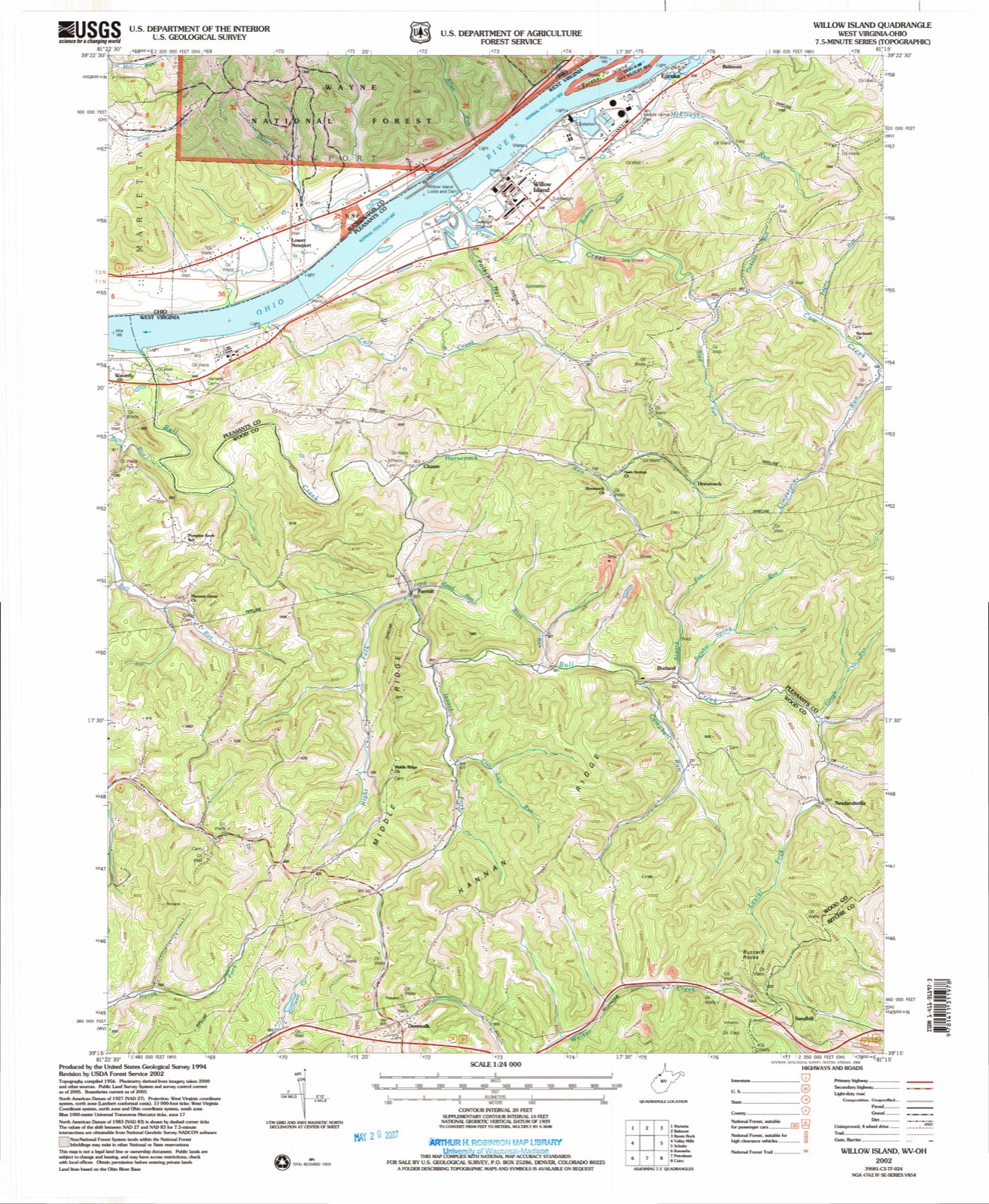
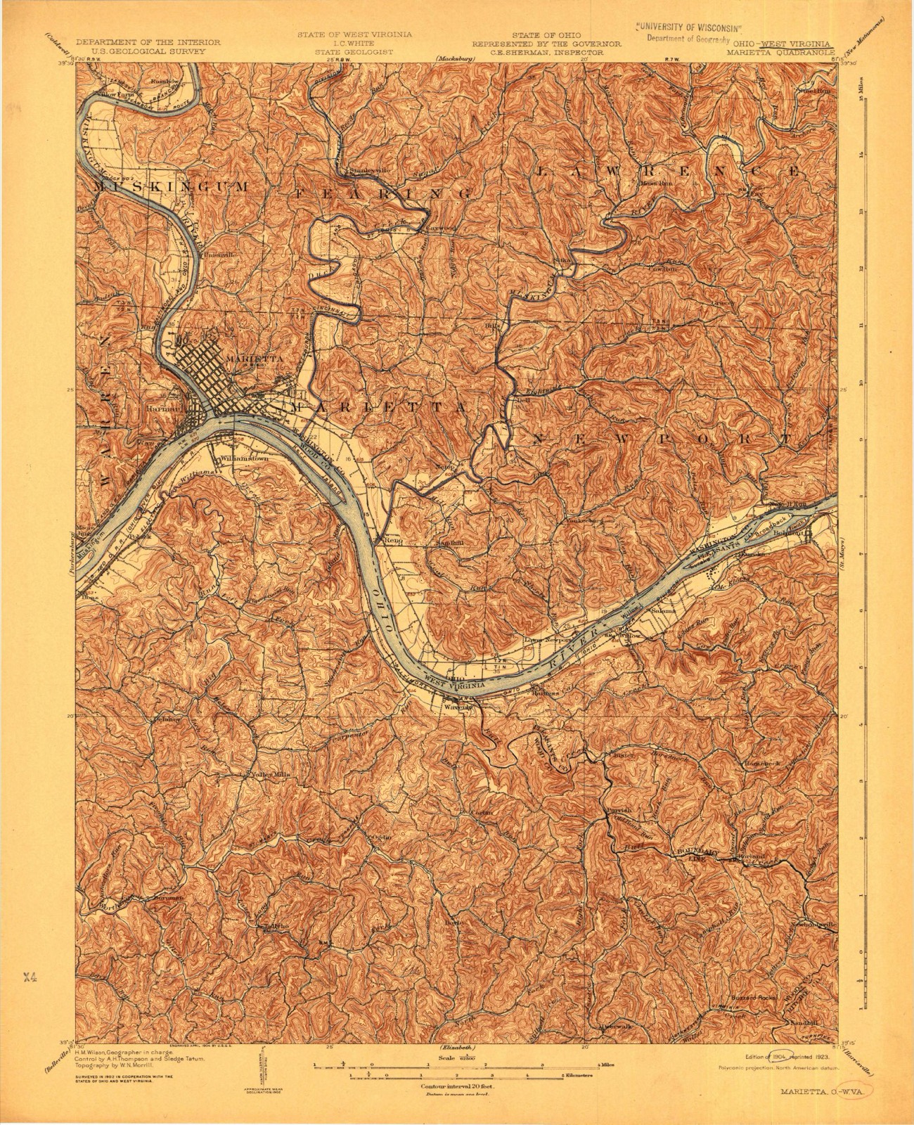
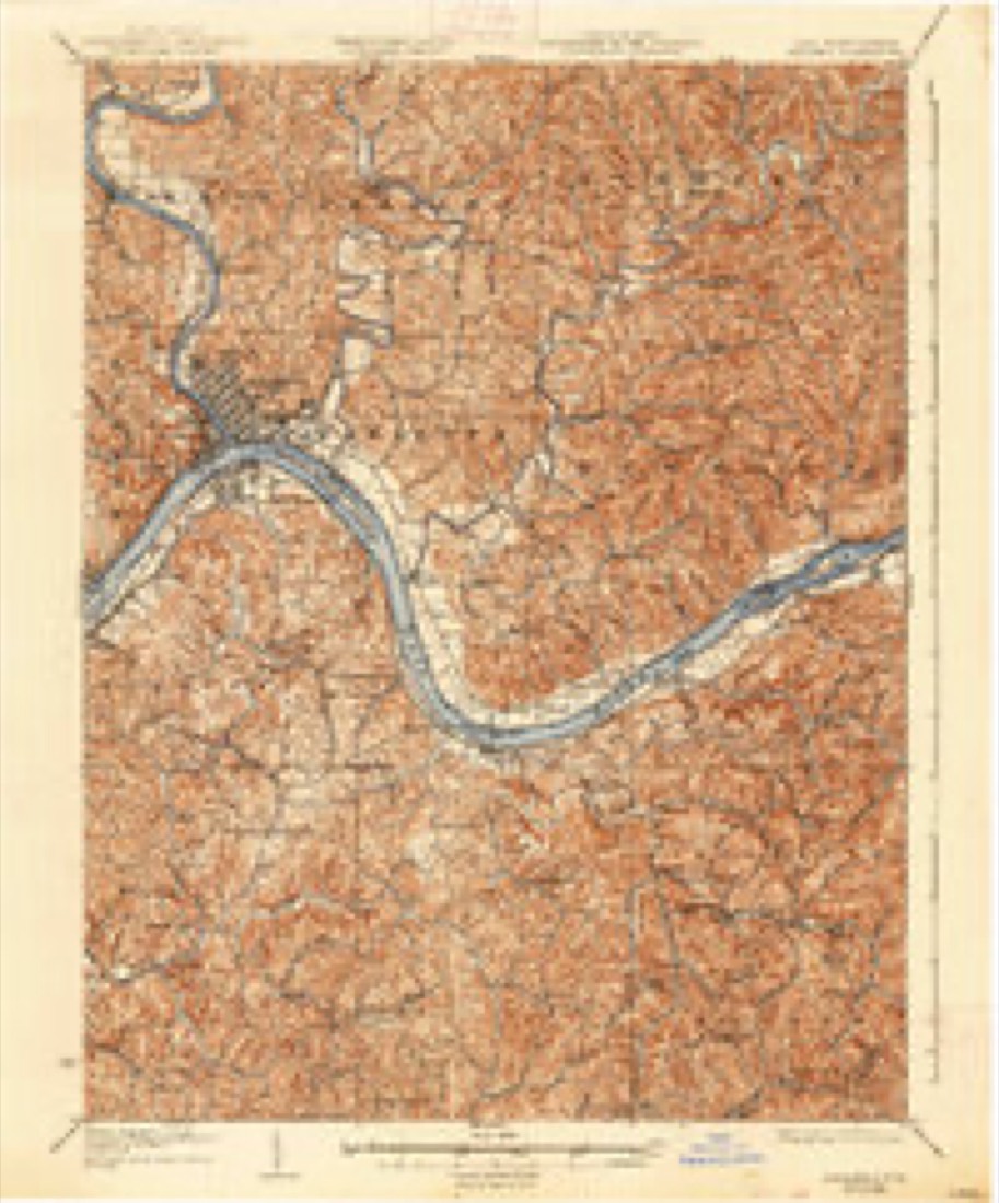
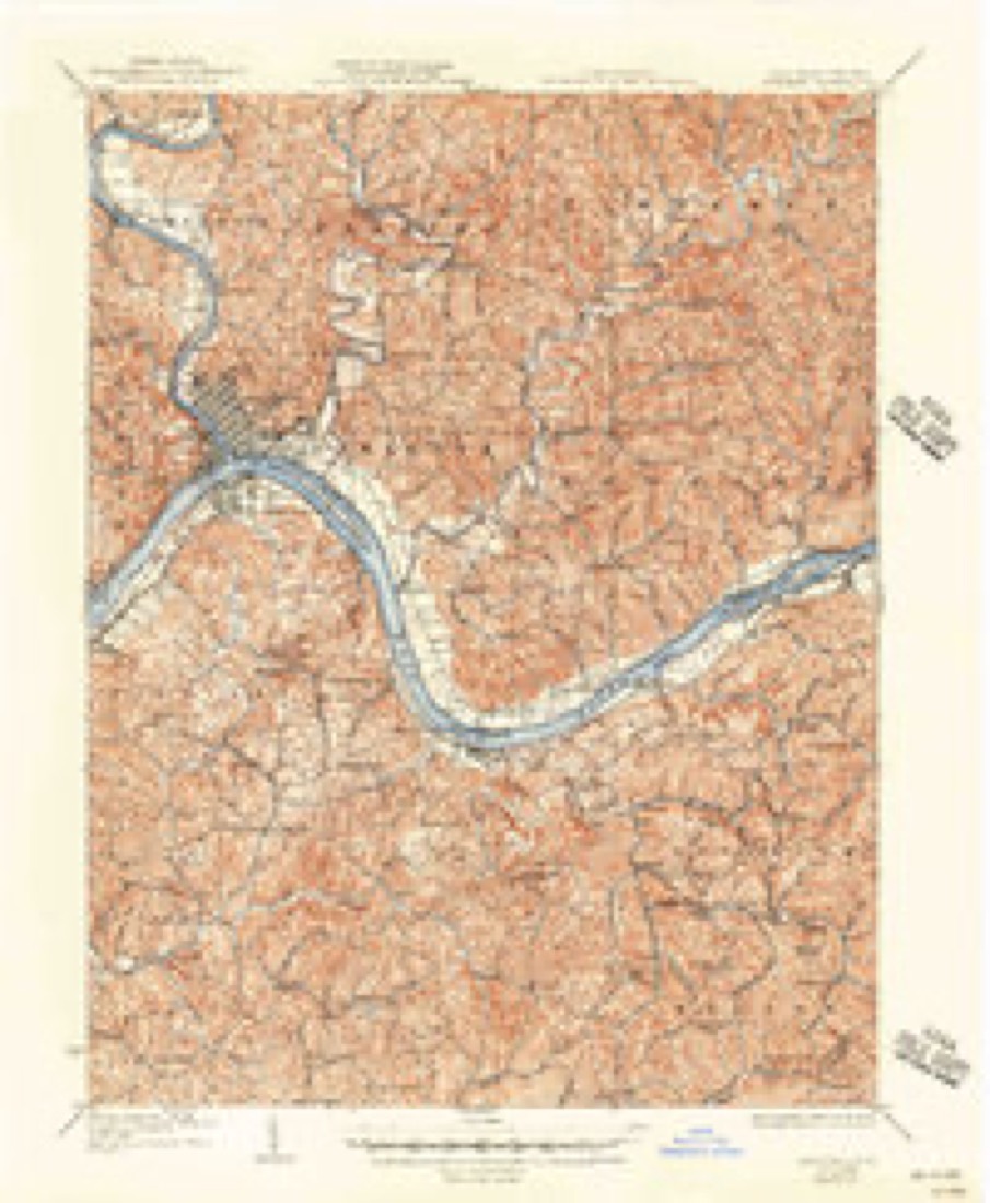
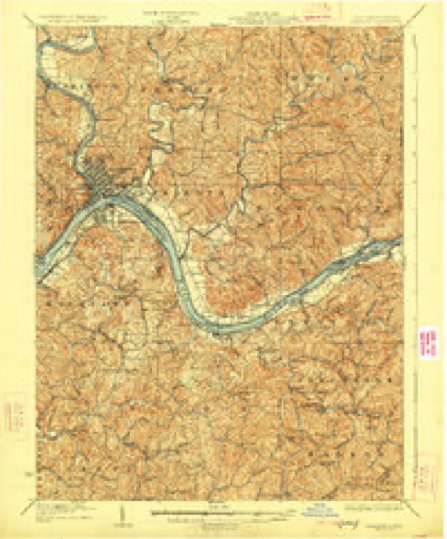
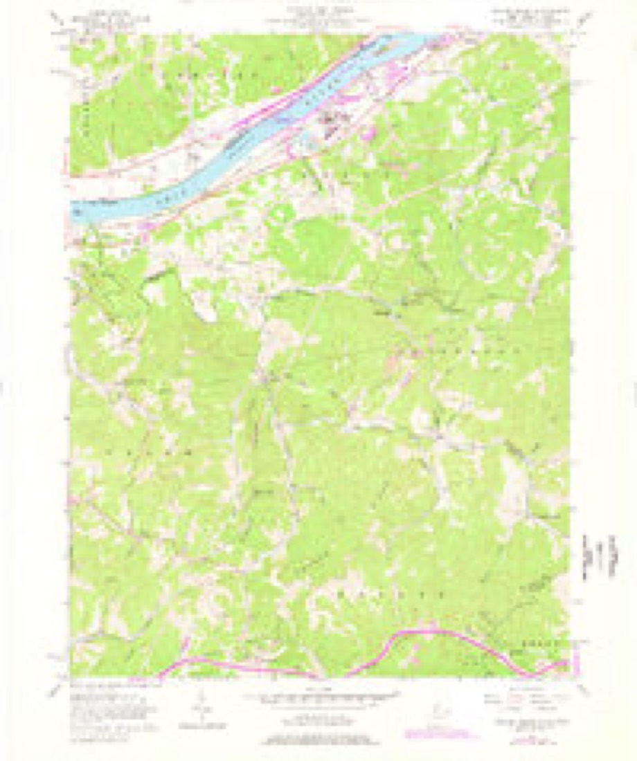
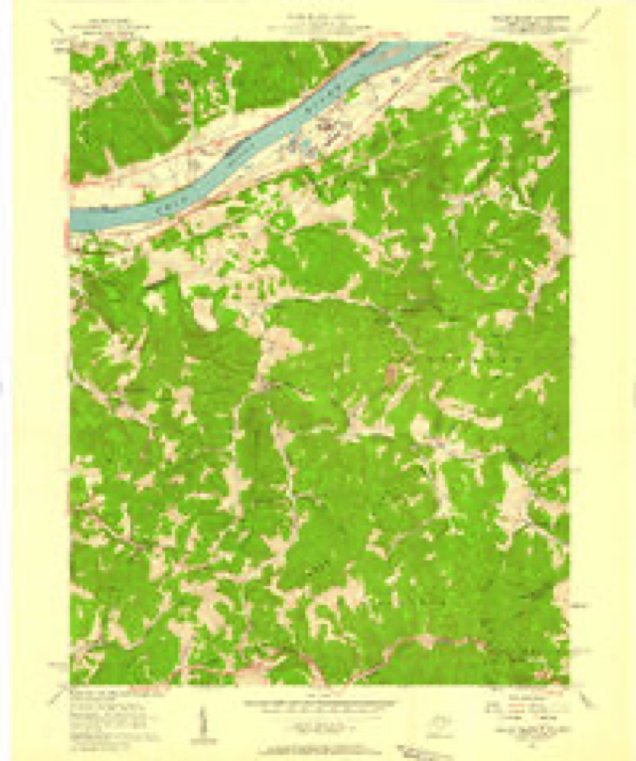
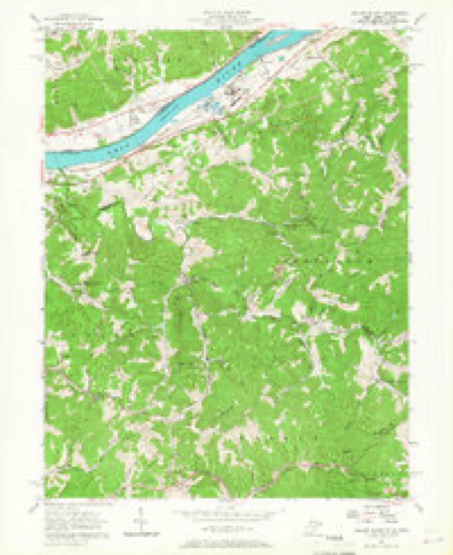
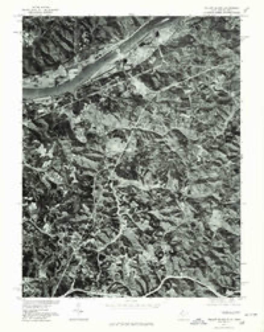
17 topographic sheets cover this place, the earliest surveyed in 1904 and the latest in 2002. It stands in Newport Township. It lies in ZIP code area 45750. It stands on Sheets Run. The Survey maps it on the Willow Island quadrangle.
Then and now
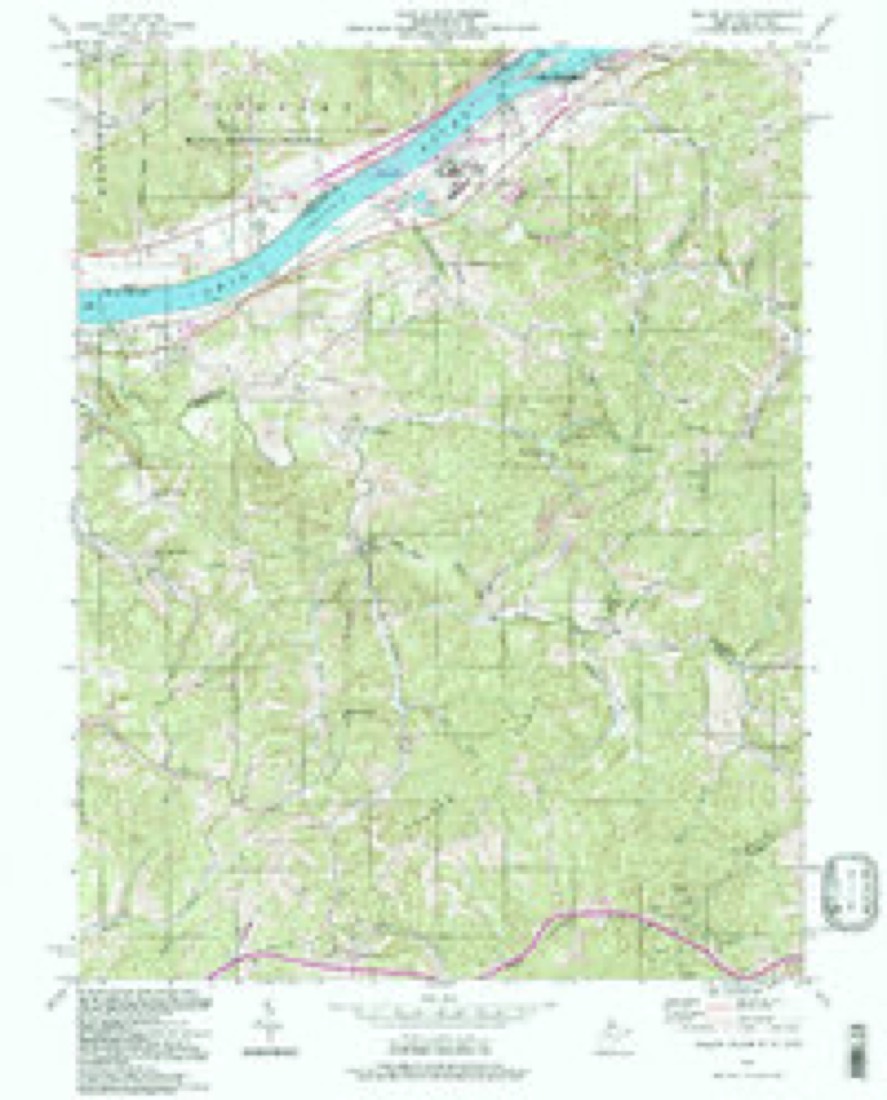
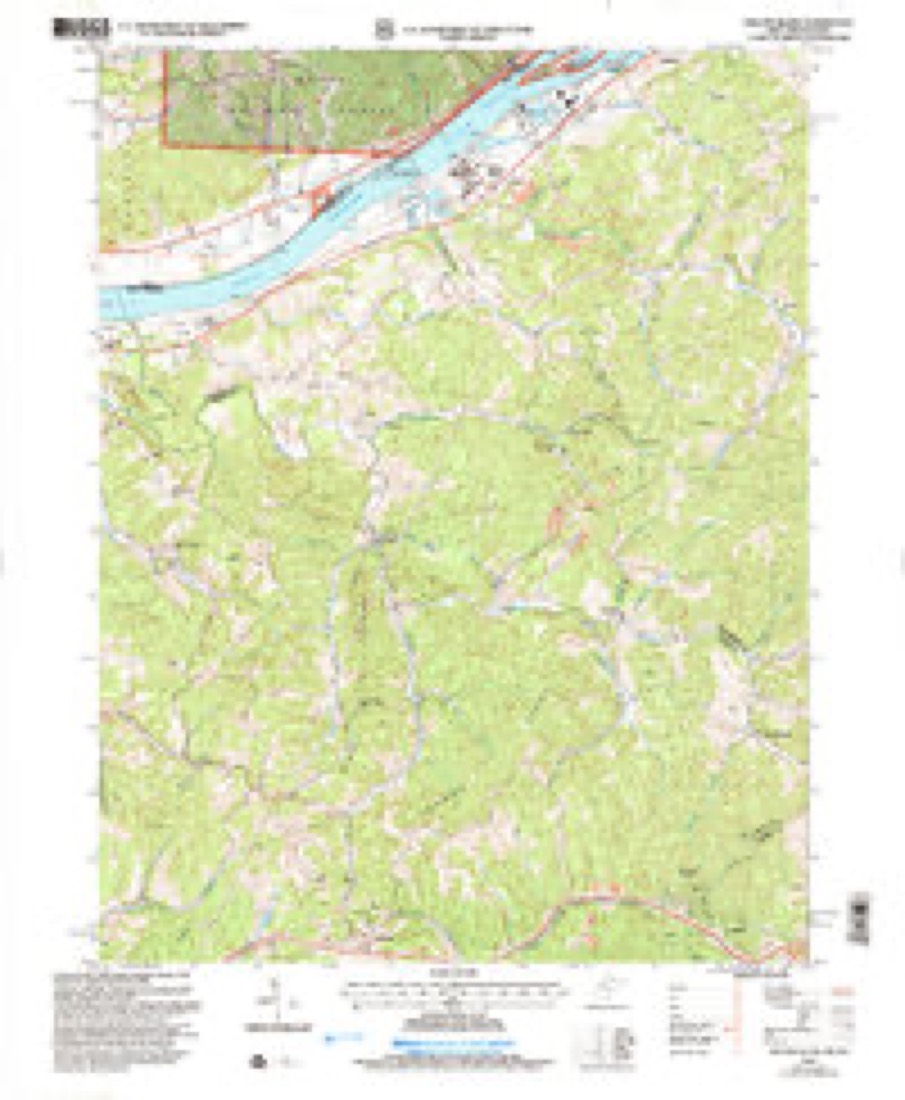
1904 to 2002The same ground, surveyed 98 years apart. Drag the handle to wipe between them. Both sheets are United States Geological Survey originals; neither has been altered.
Compare 1904 against another survey:
Topographic sheets covering this place
17 sheetsMatched by testing this settlement's coordinate against the published boundary of every sheet in the United States Geological Survey's historical collection. Each opens the scanned sheet at the Survey.
- 1904 USGS Marietta quadrangle1:62500
- 1924 USGS Marietta quadrangle1:62500
- 1927 USGS Marietta quadrangle1:62500
- 1927 USGS Marietta quadrangle1:62500
- 1927 USGS Marietta quadrangle1:62500
- 1949 USGS Clarksburg quadrangle1:250000
- 1956 USGS Clarksburg quadrangle1:250000
- 1956 USGS Clarksburg quadrangle1:250000
- 1957 USGS Willow Island quadrangle1:24000
- 1957 USGS Willow Island quadrangle1:24000
- 1957 USGS Willow Island quadrangle1:24000
- 1961 USGS Clarksburg quadrangle1:250000
- 1976 USGS Willow Island quadrangle1:24000
- 1981 USGS Parkersburg quadrangle1:100000
- 1988 USGS Clarksburg quadrangle1:250000
- 1994 USGS Willow Island quadrangle1:24000
- 2002 USGS Willow Island quadrangle1:24000





What happened here
An account from the chapter on Newport township, The inset identifies its exact source book and publication year.
The Drowning Of Charles Haskell
The drowning of Charles Haskell is perhaps the most remarkable and the saddest case of this kind on record. Charles Haskell was, at the time of his tragic death, a respected citizen and a prominent member of the Baptist church. He resided near the river where he had his store. Saturday, July 23, 1831, he observed that some boats that he had secured to the Ohio shore were being blown by the wind towards the Virginia side.
In the county-history sources
23,474 words on this townshipHistory of Washington County, Ohio, published 1881 names this settlement in its chapter on Newport Township. These are the passages that mention it, exactly as the scans read.
The general aspect of the surface is hilly, and back of the Ohio strips of level land are rarely found. In general, the slopes are drained by the Ohio and Litt!e Muskingum rivers, the tendency of the watercourses being to the south and southwest, the Ohio ultimately receiving the whole supply. .
Passage source: History of Washington County, Ohio, published 1881.
The dividing ridge between the Little Muskingum and Ohio is made up of an exceedingly elevated line of vertebrated hills frequently penetrated by the deep and narrow valleys of small streams which are gradually eroding their limiting hills, thus giving these rugged barriers a weird and romantic beauty which cannot fail to be appreciated by the passing traveller. A birds-eye view of the township as thus shaped, gives a grand view of an intricate labyrinth of natural beauty which no art of man could enhance. The whole surface is but a constant continuity of mountainous hills. One of the more prominent of these overlooks the Ohio between the village of Newport and Newell's run. This precipitous height is called Mt. Dudley after Dudley Woodbridge. On aclear day, it is said that the distant city of Marietta is visible from the top of this elevation. When Herman Blennerhassett sought for a suitable site for the proposed palace, he visited this hill in company with Dudley Woodbridge, who was desirous that Mr. Blennerhassett locate on its slope. It is related that while the party was about half way up the ascent, Mr. Blennerhassett becoming fatigued, sent his servant to the top to see if he could see Marietta. The servant reported that the city was not to be seen. Mr. Blennerhassett never ascended Mt. Dudley, and his subsequent purchase of Backus' island ended the prospect of a palace on this the most prominent elevation in Newport township.
Passage source: History of Washington County, Ohio, published 1881.
It will appear that there were three principal points or centres of settlement, around which as many early communities clustered, viz: the Upper settlement, near Newport; the Lower settlement, around Lower Newport; and the Hill settlement in the northwest corner of the township. Gradually the intermediate spaces have been filled with inhabitants.
Passage source: History of Washington County, Ohio, published 1881.
Machine-read from a century-old scan, so expect the errors a machine makes: misspelled names, dropped words, stray characters.
Read the whole chapter on Newport Township - it names this place 9 more 9 times.
Fires near this place
34 since 1992Regional context, not property-specific evidence. The federal wildfire occurrence database lists 34 fires within 5 miles of Lower Newport between 1992 and 2020, burning about 94 acres in total. 3 started naturally. 2 were recorded as arson. Distance is straight-line from the map coordinates, so a fire counted here may appear on a neighbouring settlement's page as well.
| Reported cause | Fires |
|---|---|
| Debris and open burning | 14 |
| Power generation/transmission/distribution | 5 |
| Equipment and vehicle use | 4 |
| Natural | 3 |
| Smoking | 3 |
| Arson/incendiarism | 2 |
| Missing data/not specified/undetermined | 2 |
| Other causes | 1 |
The most recent of them, most recent first, with the day each was reported and the service that recorded it.
| Date | Cause | Size | Reported by | Name on the report |
|---|---|---|---|---|
| 31 August 2012 | Debris and open burning | under an acre | West Virginia Division of Forestry | POLECAT HOLLOW |
| 30 August 2012 | Smoking | under an acre | West Virginia Division of Forestry | SOUTH PLEASANTS HIGHWAY - CYTEC |
| 30 August 2012 | Smoking | under an acre | West Virginia Division of Forestry | SOUTH PLEASANTS HIGHWAY - MON POWER |
| 10 July 2020 | Power generation/transmission/distribution | under an acre | Wayne National Forest | SEVEN |
| 30 May 2007 | Power generation/transmission/distribution | 5.0 acres | West Virginia Division of Forestry | not named |
| 7 April 2011 | Power generation/transmission/distribution | 4.0 acres | West Virginia Division of Forestry | MCELROY RUN |
| 17 April 2005 | Debris and open burning | under an acre | West Virginia Division of Forestry | BULL RUN |
| 14 April 2017 | Debris and open burning | under an acre | West Virginia Division of Forestry | 261 WOODVIEW LANE |
Settlements close enough to share some of these fires:
Specimens collected near this place
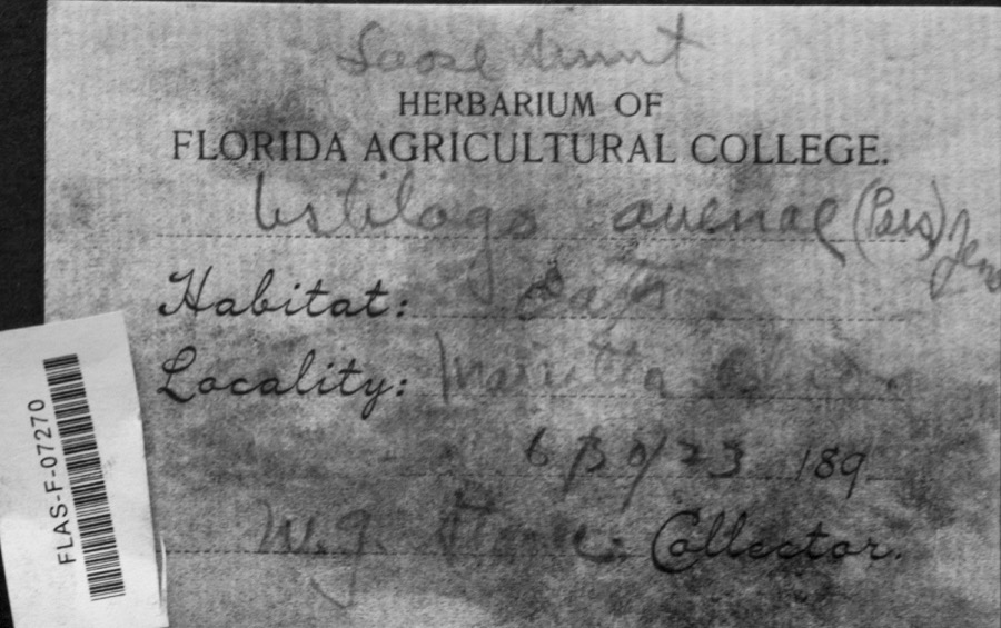
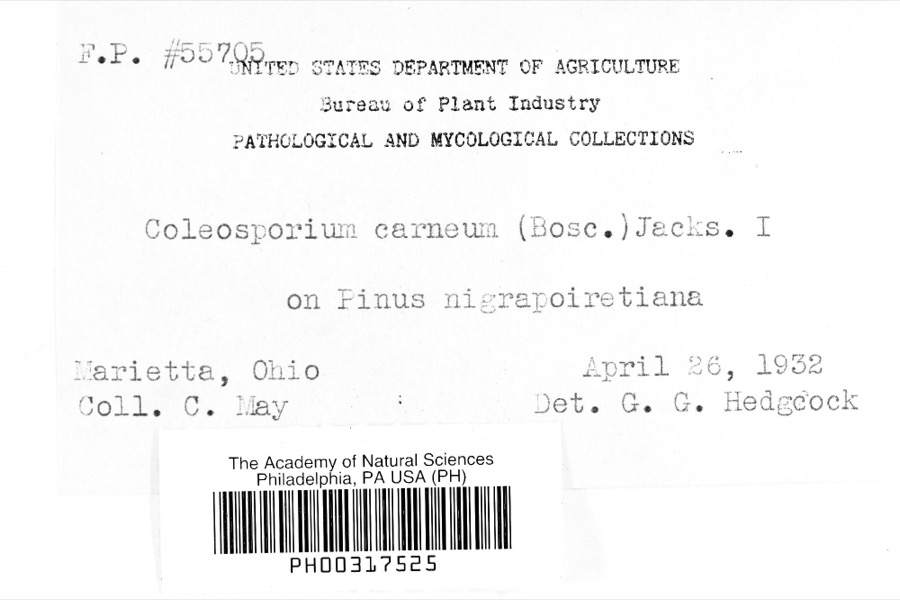
12 of 1,000 shownRegional context, not property-specific evidence. Museums hold 1,000 specimens collected within 10 miles of Lower Newport between 1853 and 1975: 908 Animalia, 54 Fungi, 36 Plantae, 1 Unrecorded, 1 Chromista. 12 distinct Species records are shown. Collected by A. Drew, A. L. McElhose, AGOSTINI, CHARLES T and others. Each is a physical object with a catalogue number, and each entry opens the museum's record. This is what was collected and kept, not a survey of what lives here - nothing can be concluded from a species being absent.
| Image | Species | Year | Collected by | Where, as recorded |
|---|---|---|---|---|
 | Ustilago avenae (Pers.) Rostr. | 1923 | W.G. Stoner | Marietta |
 | Coleosporium carneum (Bosc) H.S.Jacks. | 1932 | C. May | Marietta |
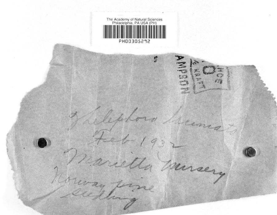 | Thelephora laciniata (Pers.) Pers. | 1932 | L.W.R.J. | Nursery, Marietta |
 | Catostomus commersonii (Lacepède, 1803) | 1853 | E. Andrews | Marietta, Ohio |
 | Actinonaias carinata gibba (C.T.Simpson, 1900) | 1879 | W. Holden | Ohio River, Near Marietta |
 | Necturus maculosus (Rafinesque, 1818) | 1886 | Georg Baur | Marietta |
 | Icteria virens (Linnaeus, 1758) | 1893 | Shufeldt, R. | Marietta |
 | Progne subis (Linnaeus, 1758) | 1893 | Shufeldt, R. | Marietta |
 | Plasmopara viticola (Berk. & M.A.Curtis) Berl. & De Toni | 1896 | F.L. Stevens | Marietta |
 | Cyclonaias kleiniana (I.Lea, 1852) | 1897 | Sterki, Victor | Marietta |
 | Cyclonaias pustulosa (I.Lea, 1831) | 1897 | Sterki, Victor | Marietta |
 | Cyprogenia stegaria (Rafinesque, 1820) | 1897 | Sterki, Victor | Marietta |
All 1,000 specimens within 10 miles, at the Global Biodiversity Information Facility.
Mines and quarries near this place
1 within 5 milesRegional context, not property-specific evidence. The federal mineral resources record lists 1 working within 5 miles of Lower Newport: 1 producer. All of them still produce. What was taken out: Stone, Crushed/Broken. Distance is straight-line from the map coordinates, so a quarry counted here may appear on a neighbouring settlement's page as well.
| Where | Site | Commodity | Status | Recorded |
|---|---|---|---|---|
| Duckworth Quarry | Stone, Crushed/Broken | Producer |
Storms near this place
1 since 2015Regional context, not property-specific evidence. The National Weather Service names Lower Newport in 1 storm report between 2015 and 2015: 1 hail. No death or injury is recorded in these reports. Each account below is quoted exactly as the forecast office filed it, from the NOAA Storm Events Database, and each date opens the federal record of that event.
| When | Event | Place named | Harm | What the report says |
|---|---|---|---|---|
| April 2015 | Hail | Lower Newport | - | no account filed |
Nearest settlements
The eight closest, with where each one stands in the county. Distances are straight-line, computed from the Geographic Names Information System coordinates.
| Map | Place | Distance | Sheets |
|---|---|---|---|
| Yankeeburg | 2.0 miles | 19 | |
| Sandhill | 2.9 miles | 17 | |
| Reno | 3.0 miles | 17 | |
| Cornerville | 3.5 miles | 19 | |
| Dell | 4.2 miles | 19 | |
| Newell Run | 4.8 miles | 19 | |
| Hills | 5.7 miles | 19 | |
| Morningside | 6.0 miles | 17 |
Elsewhere
Matched on this settlement's Geographic Names Information System number rather than its name, so it cannot be a different place of the same name in another state.
| Wikipedia article on Lower Newport | An encyclopaedic summary. Its text is share-alike, so it is linked here rather than copied. |
| Wikidata item Q22133362 | The structured record the population and elevation above come from. Public domain (CC0). |
Provenance
This settlement is recorded in the Geographic Names Information System as feature 1076314. The sheet list is computed by point-in-boundary test against the United States Geological Survey's historical topographic inventory. Both are works of the United States government and carry no copyright under 17 U.S.C. 105.
Wildfire. Short, Karen C. 2022. Spatial wildfire occurrence data for the United States, 1992-2020 [FPA_FOD_20221014]. 6th Edition. Fort Collins, CO: Forest Service Research Data Archive. https://doi.org/10.2737/RDS-2013-0009.6 Collected with United States Government funding and usable without additional permissions or fees.
Specimens. Global Biodiversity Information Facility (GBIF), https://www.gbif.org/. Only records licensed CC0 or CC BY are used. Records licensed CC BY-NC are excluded because this site carries advertising. Images are checked individually and any whose licence is non-commercial, no-derivatives or unreadable is refused.
Mines and quarries. USGS Mineral Resources Data System (MRDS) https://mrdata.usgs.gov/mrds/ A work of the United States government, no copyright under 17 U.S.C. 105.
Storms. NOAA National Centers for Environmental Information, Storm Events Database https://www.ncei.noaa.gov/stormevents/ A work of the United States government, no copyright under 17 U.S.C. 105. Narratives are quoted verbatim from the National Weather Service report and are not edited or summarised.