 Block
Block
Newport, Ohio
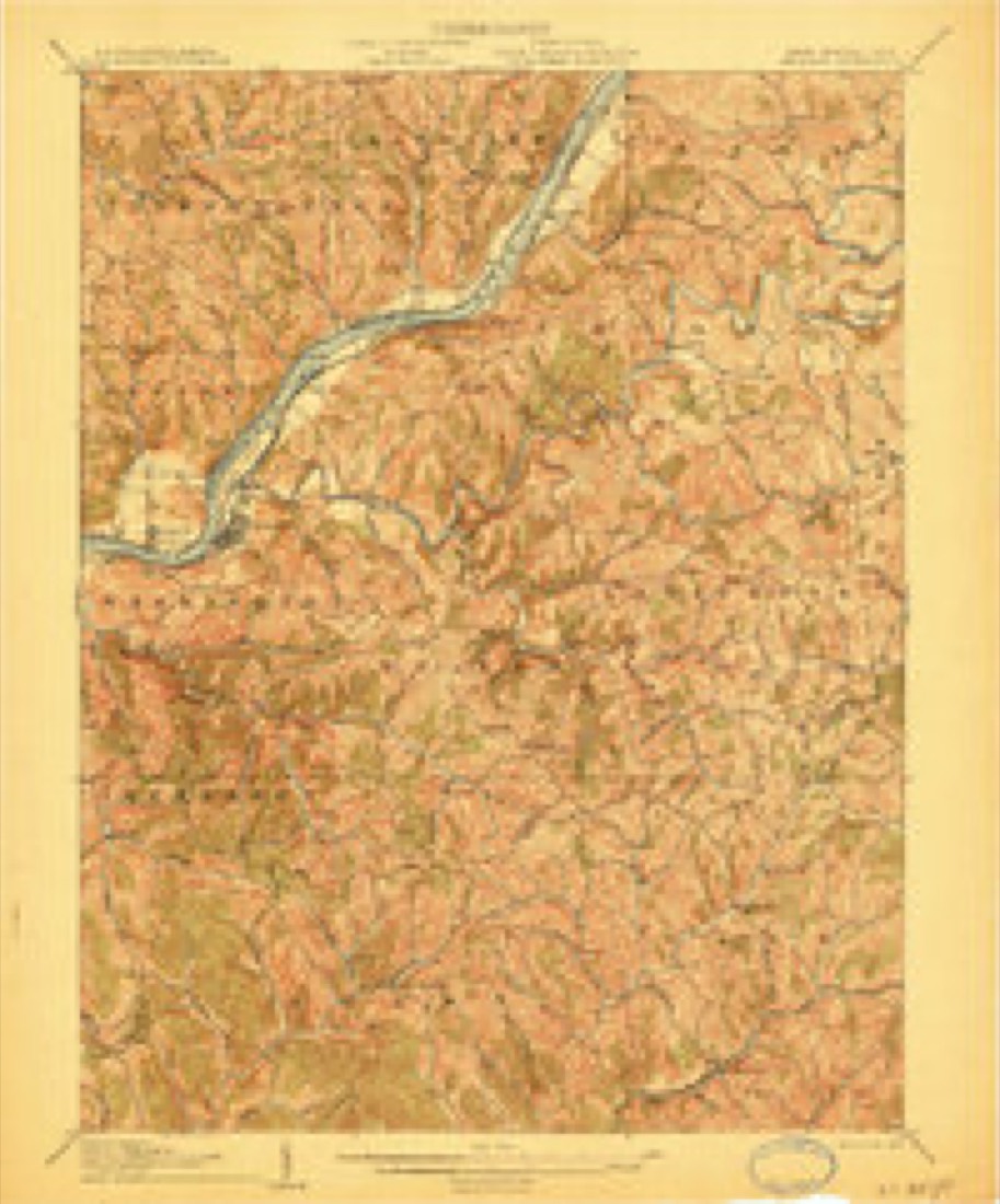
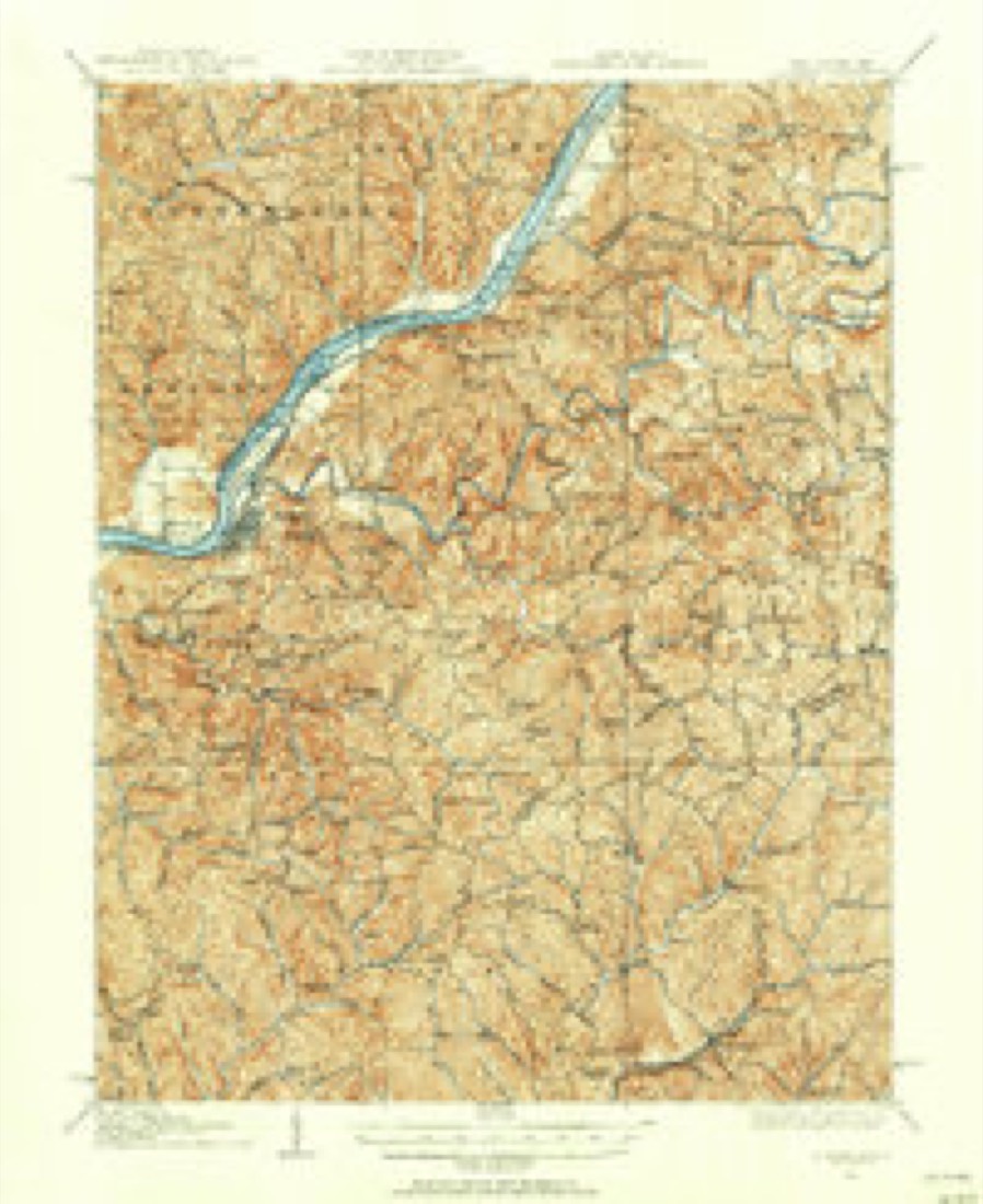
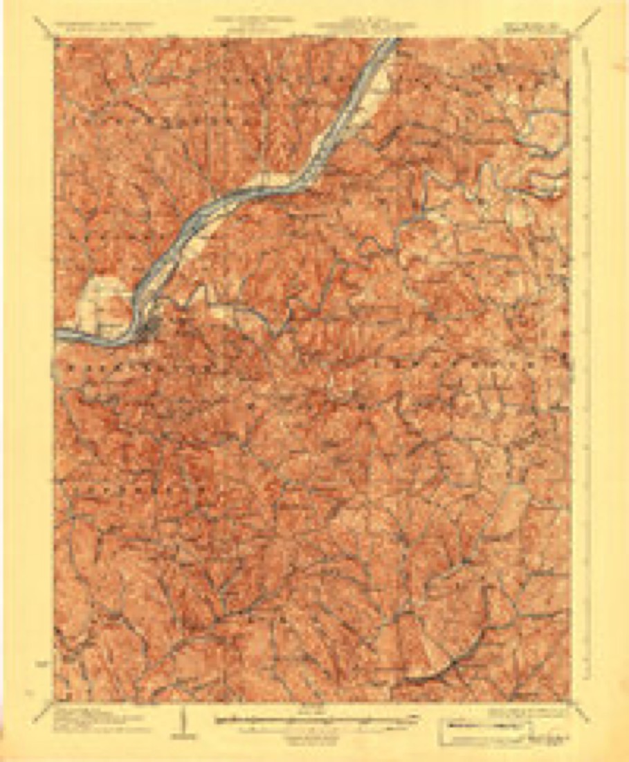
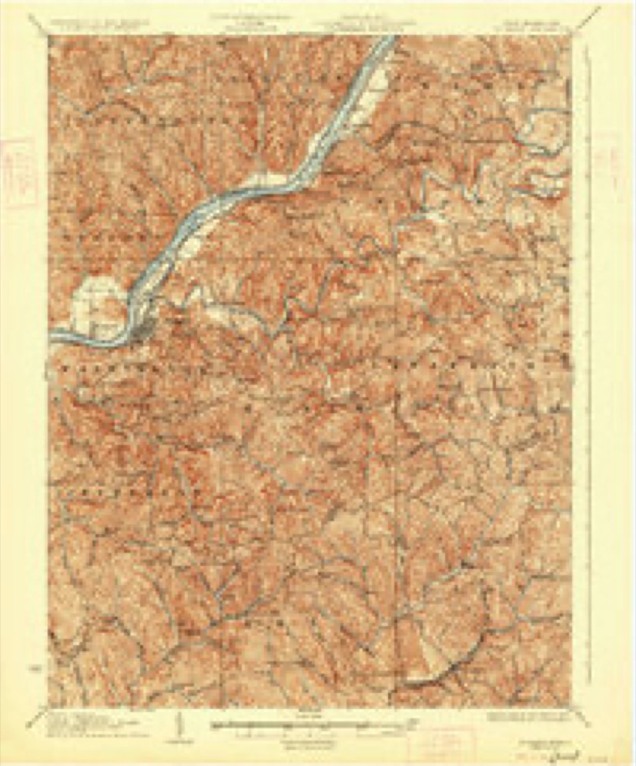
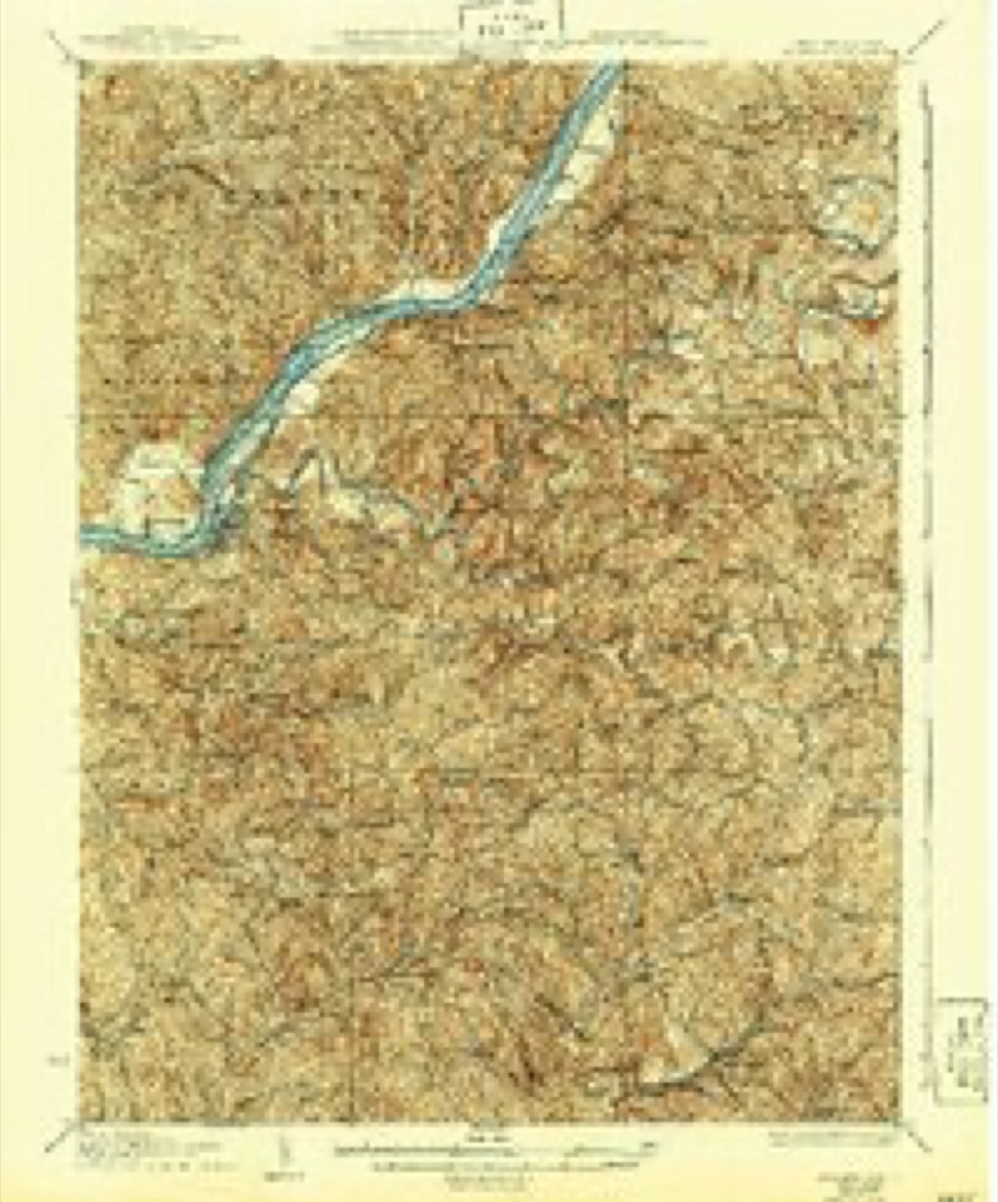
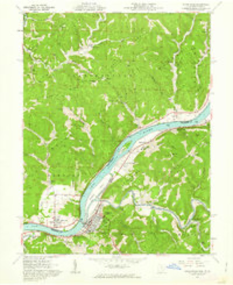
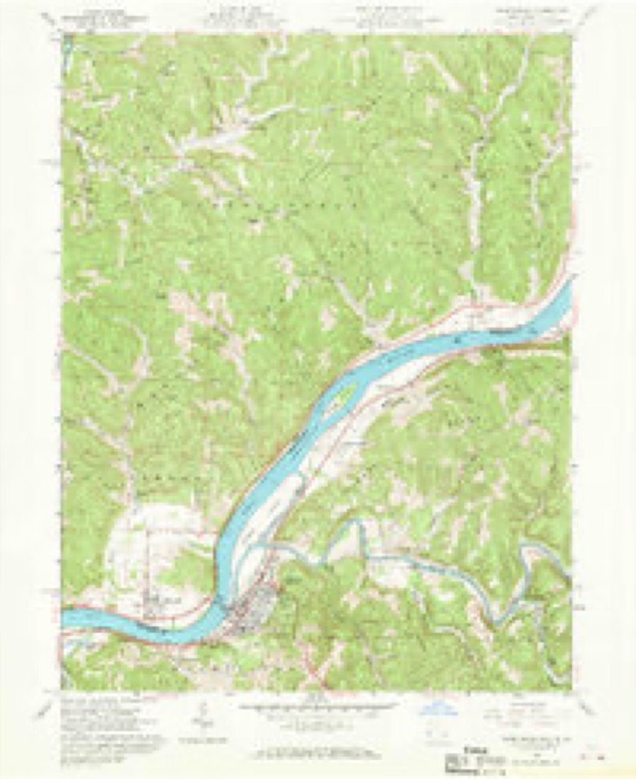
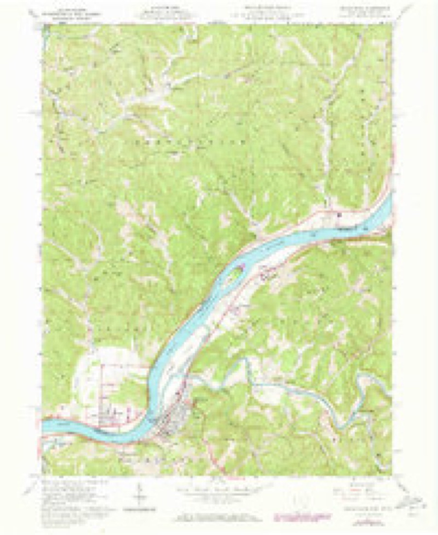
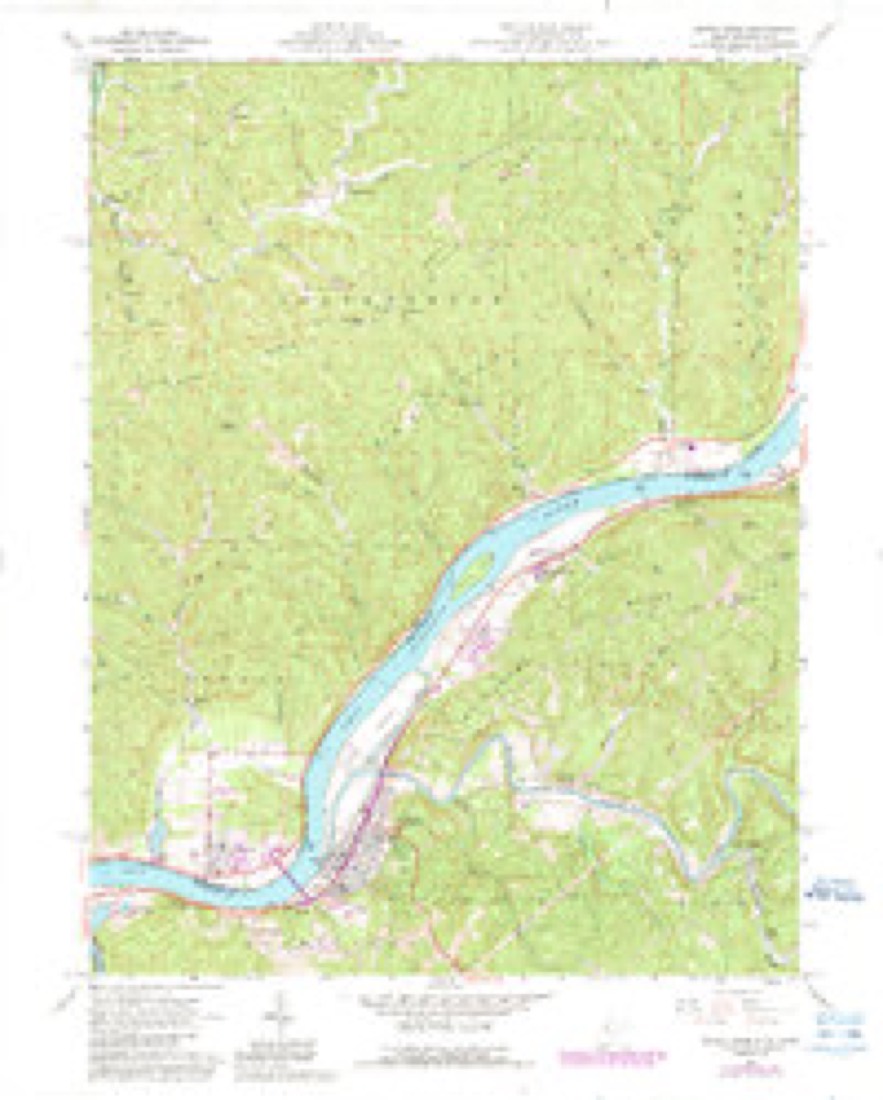
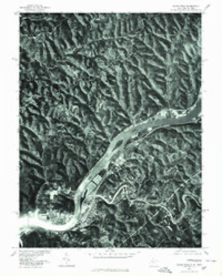
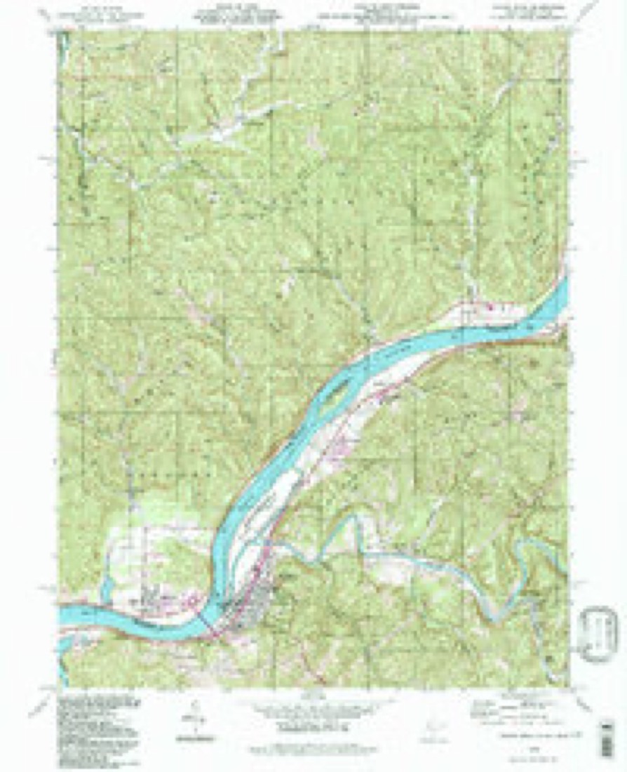
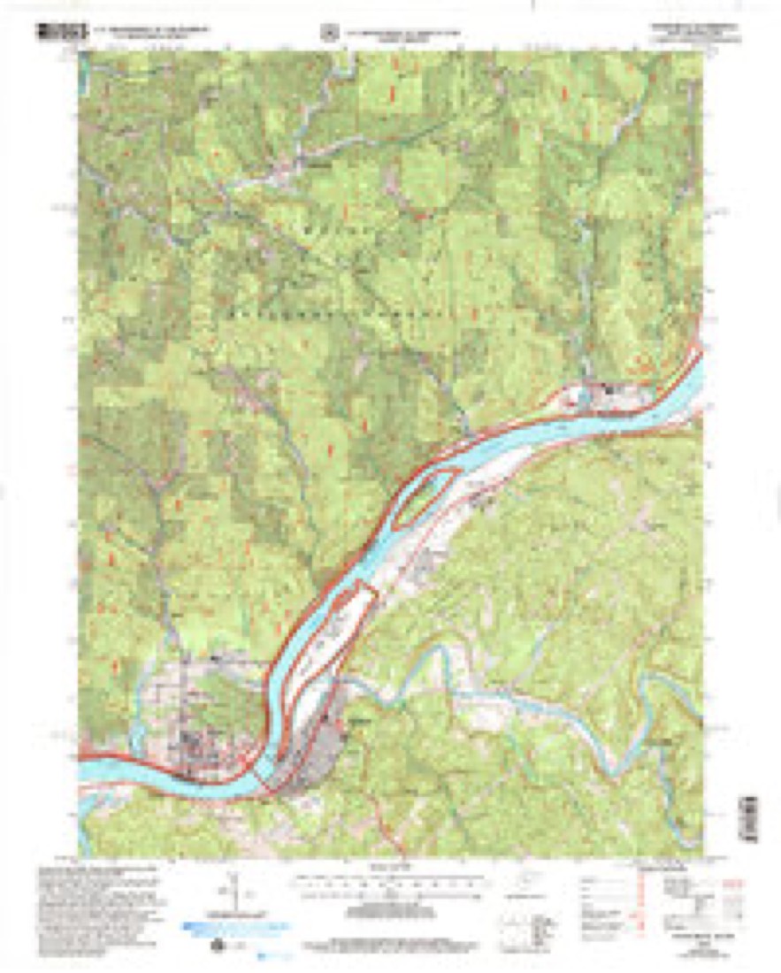
20 topographic sheets cover this place, the earliest surveyed in 1906 and the latest in 2002. It stands in Newport Township. It lies in ZIP code area 45768. It stands on Danas Run. The Survey maps it on the Raven Rock quadrangle. 895 people lived here at the 2020 count.
Population over time
2 figuresNewport fell from 1,003 to 895 between 2010 and 2020. These are the recorded population figures Wikidata holds for this place, reached through the Geographic Names Information System number this page is keyed on rather than by name, so they belong to this place and not to another of the same name. Most are census counts, but not all are: an early figure may be a founding or settlement estimate. The change column is computed, and is left blank where more than 20 years separate a figure from the one before it, because a gap that long is not a change between two counts.
| Year | People | Change |
|---|---|---|
| 2010 | 1,003 | |
| 2020 | 895 | -108 (-11%) |
Then and now
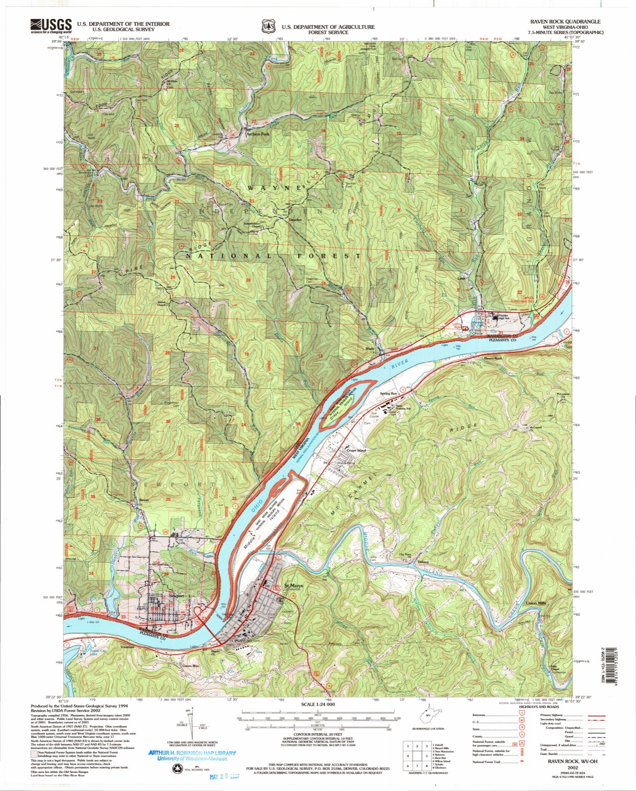
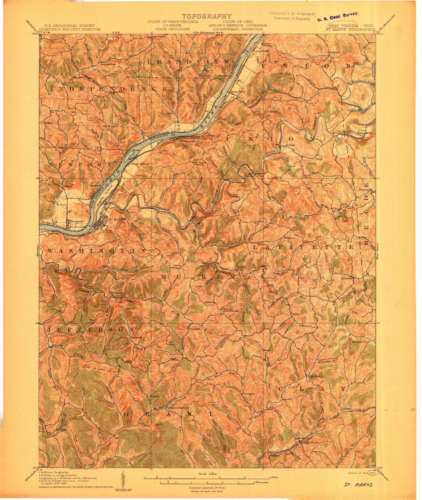
1906 to 2002The same ground, surveyed 96 years apart. Drag the handle to wipe between them. Both sheets are United States Geological Survey originals; neither has been altered.
Compare 1906 against another survey:
Topographic sheets covering this place
20 sheetsMatched by testing this settlement's coordinate against the published boundary of every sheet in the United States Geological Survey's historical collection. Each opens the scanned sheet at the Survey.
- 1906 USGS Saint Marys quadrangle1:62500
- 1906 USGS St Marys quadrangle1:62500
- 1906 USGS St Marys quadrangle1:62500
- 1924 USGS St Marys quadrangle1:62500
- 1927 USGS Saint Marys quadrangle1:62500
- 1927 USGS St Marys quadrangle1:62500
- 1927 USGS St Marys quadrangle1:62500
- 1949 USGS Clarksburg quadrangle1:250000
- 1956 USGS Clarksburg quadrangle1:250000
- 1956 USGS Clarksburg quadrangle1:250000
- 1961 USGS Clarksburg quadrangle1:250000
- 1961 USGS Raven Rock quadrangle1:24000
- 1961 USGS Raven Rock quadrangle1:24000
- 1961 USGS Raven Rock quadrangle1:24000
- 1961 USGS Raven Rock quadrangle1:24000
- 1975 USGS Raven Rock quadrangle1:24000
- 1981 USGS Parkersburg quadrangle1:100000
- 1988 USGS Clarksburg quadrangle1:250000
- 1994 USGS Raven Rock quadrangle1:24000
- 2002 USGS Raven Rock quadrangle1:24000





What happened here
An account from the chapter on Newport township, The inset identifies its exact source book and publication year.
The Drowning Of Charles Haskell
The drowning of Charles Haskell is perhaps the most remarkable and the saddest case of this kind on record. Charles Haskell was, at the time of his tragic death, a respected citizen and a prominent member of the Baptist church. He resided near the river where he had his store. Saturday, July 23, 1831, he observed that some boats that he had secured to the Ohio shore were being blown by the wind towards the Virginia side.
In the county-history sources
23,474 words on this townshipHistory of Washington County, Ohio, published 1881 names this settlement in its chapter on Newport Township. These are the passages that mention it, exactly as the scans read.
The general contour of the township is that of the right angle triangle. Mathematically consistent with the well known problem, the Ohio valley as the hypothenuse is by far the most valuable of the three bounding tracts.
Passage source: History of Washington County, Ohio, published 1881.
The general aspect of the surface is hilly, and back of the Ohio strips of level land are rarely found. In general, the slopes are drained by the Ohio and Litt!e Muskingum rivers, the tendency of the watercourses being to the south and southwest, the Ohio ultimately receiving the whole supply. .
Passage source: History of Washington County, Ohio, published 1881.
The watershed temporarily separating the Little Muskingum from the Ohio, crosses the northern boundary of the township in section eighteen, sends out an eastern and a western spur in section seventeen, and continues southwest, leaving the township in section thirty-two. The slopes above the spurs supply on the east the eastern branches of Newell's run, and on the west the stream known as Eight Mile run, while the territory, south of the spurs, is drained on the southeast by numerous branchlets of the Ohio, and on the southwest by Long run, a tributary of the Little Muskingum. The main ridge extends into Lawrence and Independence ownships, and the southern drainage of these townships ;8 towards the Ohio. At a point between sections six and thirty-six a southern branch of the main ridge enters the township, and passes through it almost due south to the Ohio. The eastern slope of this secondary ridge is towards Dana's run, and the western slope supplies Newell's run.
Passage source: History of Washington County, Ohio, published 1881.
Machine-read from a century-old scan, so expect the errors a machine makes: misspelled names, dropped words, stray characters.
Read the whole chapter on Newport Township - it names this place 119 more 119 times.
Fires near this place
41 since 1992Regional context, not property-specific evidence. The federal wildfire occurrence database lists 41 fires within 5 miles of Newport between 1992 and 2020, burning about 217 acres in total. 1 started naturally. 4 were recorded as arson. Distance is straight-line from the map coordinates, so a fire counted here may appear on a neighbouring settlement's page as well.
| Reported cause | Fires |
|---|---|
| Debris and open burning | 14 |
| Equipment and vehicle use | 8 |
| Missing data/not specified/undetermined | 5 |
| Arson/incendiarism | 4 |
| Power generation/transmission/distribution | 3 |
| Smoking | 3 |
| Misuse of fire by a minor | 2 |
| Recreation and ceremony | 1 |
| Natural | 1 |
The most recent of them, most recent first, with the day each was reported and the service that recorded it.
| Date | Cause | Size | Reported by | Name on the report |
|---|---|---|---|---|
| 22 September 2007 | Misuse of fire by a minor | under an acre | West Virginia Division of Forestry | not named |
| 30 August 2012 | Smoking | under an acre | West Virginia Division of Forestry | SOUTH PLEASANTS HIGHWAY - CYTEC |
| 30 August 2012 | Smoking | under an acre | West Virginia Division of Forestry | SOUTH PLEASANTS HIGHWAY - MON POWER |
| 10 July 2020 | Power generation/transmission/distribution | under an acre | Wayne National Forest | SEVEN |
| 8 May 2007 | Equipment and vehicle use | 1.0 acres | Wayne National Forest | KINDERHOOK |
| 7 April 2011 | Power generation/transmission/distribution | 4.0 acres | West Virginia Division of Forestry | MCELROY RUN |
| 3 April 2017 | Missing data/not specified/undetermined | under an acre | Wayne National Forest | MT. PISGAH |
| 3 April 1995 | Debris and open burning | 5.0 acres | West Virginia Division of Forestry | LIMESTONE RIDGE |
Settlements close enough to share some of these fires:
Specimens collected near this place
12 of 297 shownRegional context, not property-specific evidence. Museums hold 297 specimens collected within 10 miles of Newport between 1909 and 1975: 251 Animalia, 29 Fungi, 17 Plantae. 12 distinct Species records are shown. Collected by Albert Hazen Wright, Albert Wright, Allison W Cusick; Marilyn Ortt and others. Each is a physical object with a catalogue number, and each entry opens the museum's record. This is what was collected and kept, not a survey of what lives here - nothing can be concluded from a species being absent.
| Image | Species | Year | Collected by | Where, as recorded |
|---|---|---|---|---|
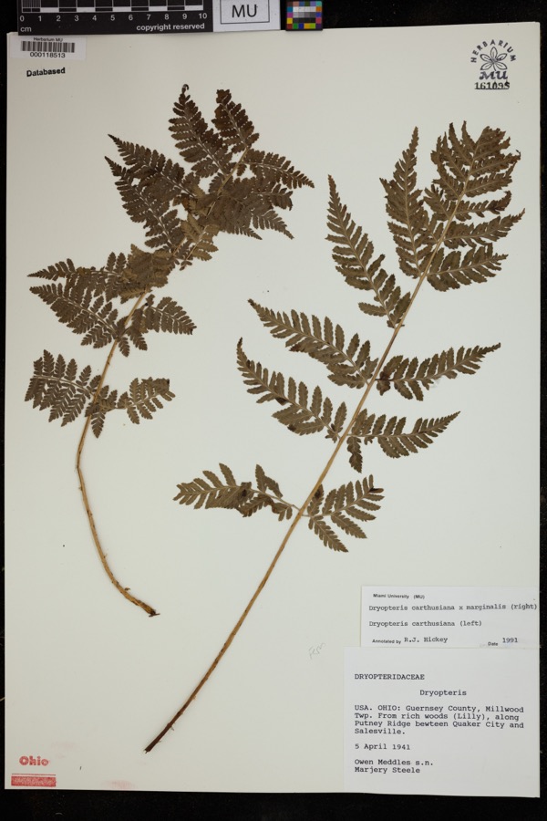 | Dryopteris carthusiana (Vill.) H.P.Fuchs | 1941 | Meddles, O.; Steele, M. | Millwood Twp. From rich woods (lilly), along Putney Ridge between Quaker City and Salesville. |
 | Puccinia dayi Clinton | 1909 | Bonner C. M. | Pleasants Co. |
| Endasys subclavatus (Say, 1835) | 1928 | W.V. Balduf | ||
 | Scambus pterophori (Ashmead, 1890) | 1928 | W.V. Balduf | |
 | Vulgichneumon brevicinctor (Say, 1825) | 1928 | W.V. Balduf | |
 | Cyprinella spiloptera (Cope, 1867) | 1929 | MB Trautman | Little Muskingum River, northeastern Marietta Twp |
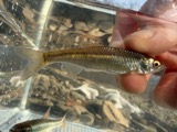 | Cyprinella whipplei Girard, 1856 | 1929 | Trautman, M. B. (Milton Bernard) & Walker, W. H. (W. Harrington) | Little Muskingum River, near Hune Covered Bridge, south of Wingett Run OH, NE Lawrence Township |
 | Etheostoma blennioides Rafinesque, 1819 | 1929 | Trautman, M. B. (Milton Bernard) & Walker, W. H. (W. Harrington) | Little Muskingum River, near Hune Covered Bridge, south of Wingett Run OH, NE Lawrence Township |
 | Luxilus chrysocephalus Rafinesque, 1820 | 1929 | MB Trautman | Little Muskingum River, northeastern Marietta Twp |
 | Micropterus punctulatus (Rafinesque, 1819) | 1929 | Trautman, M. B. (Milton Bernard) & Walker, W. H. (W. Harrington) | Little Muskingum River, near Hune Covered Bridge, south of Wingett Run OH, NE Lawrence Township |
 | Notropis atherinoides Rafinesque, 1818 | 1929 | MB Trautman | Little Muskingum River, northeastern Marietta Twp |
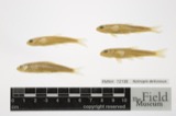 | Notropis deliciosus (Girard, 1856) | 1929 | Trautman, M. B. (Milton Bernard) & Walker, W. H. (W. Harrington) | Little Muskingum River, within Lawrence township, near Newport, Lawrence township |
All 297 specimens within 10 miles, at the Global Biodiversity Information Facility.
Storms near this place
9 since 1996Regional context, not property-specific evidence. The National Weather Service names Newport in 9 storm reports between 1996 and 2025: 5 thunderstorm wind, 3 hail, 1 flash flood. No death or injury is recorded in these reports. Each account below is quoted exactly as the forecast office filed it, from the NOAA Storm Events Database, and each date opens the federal record of that event.
| When | Event | Place named | Harm | What the report says |
|---|---|---|---|---|
| January 1998 | Thunderstorm Wind | Newport | $5,000 | Several trees were blown down. |
| June 1998 | Thunderstorm Wind | Newport | $3,000 | no account filed |
| July 2017 | Thunderstorm Wind | Newport | $2,000 | Several trees were blown down along State Route 339 near Barlow. |
| February 2023 | Thunderstorm Wind | Newport | $100 | A tree was blown down onto State Route 550 near the Barlow Township. |
| June 2025 | Flash Flood | Newport | - | In Newport, South Fork South Branch of Wolf Creek exceeded its banks and flooded the intersection of State Routes 550 and 339. |
| August 2007 | Thunderstorm Wind | Newport | - | Large branches were knocked down. |
| April 2015 | Hail | Lower Newport | - | no account filed |
| July 2011 | Hail | Newport | - | no account filed |
| June 1996 | Hail | Newport | - | no account filed |
Nearest settlements
The eight closest, with where each one stands in the county. Distances are straight-line, computed from the Geographic Names Information System coordinates.
Elsewhere
Matched on this settlement's Geographic Names Information System number rather than its name, so it cannot be a different place of the same name in another state.
| Wikipedia article on Newport | An encyclopaedic summary. Its text is share-alike, so it is linked here rather than copied. |
| Wikidata item Q3472333 | The structured record the population and elevation above come from. Public domain (CC0). |
Provenance
This settlement is recorded in the Geographic Names Information System as feature 1076517. The sheet list is computed by point-in-boundary test against the United States Geological Survey's historical topographic inventory. Both are works of the United States government and carry no copyright under 17 U.S.C. 105.
Wildfire. Short, Karen C. 2022. Spatial wildfire occurrence data for the United States, 1992-2020 [FPA_FOD_20221014]. 6th Edition. Fort Collins, CO: Forest Service Research Data Archive. https://doi.org/10.2737/RDS-2013-0009.6 Collected with United States Government funding and usable without additional permissions or fees.
Specimens. Global Biodiversity Information Facility (GBIF), https://www.gbif.org/. Only records licensed CC0 or CC BY are used. Records licensed CC BY-NC are excluded because this site carries advertising. Images are checked individually and any whose licence is non-commercial, no-derivatives or unreadable is refused.
Storms. NOAA National Centers for Environmental Information, Storm Events Database https://www.ncei.noaa.gov/stormevents/ A work of the United States government, no copyright under 17 U.S.C. 105. Narratives are quoted verbatim from the National Weather Service report and are not edited or summarised.