 Block
Block
Lytle, Ohio
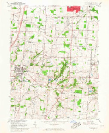
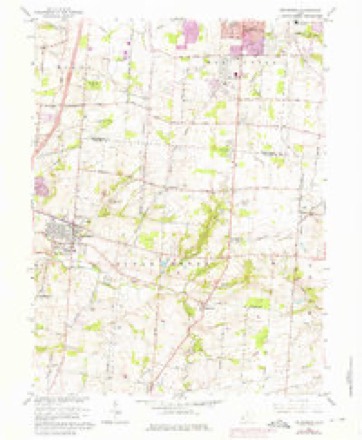
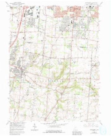
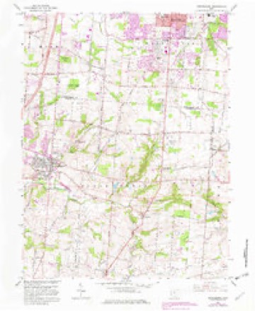
13 topographic sheets cover this place, the earliest surveyed in 1913 and the latest in 1986. It stands in Wayne Township. It lies in ZIP code area 45068. The Survey maps it on the Springboro quadrangle.
Then and now
1913 to 1986The same ground, surveyed 73 years apart. Drag the handle to wipe between them. Both sheets are United States Geological Survey originals; neither has been altered.

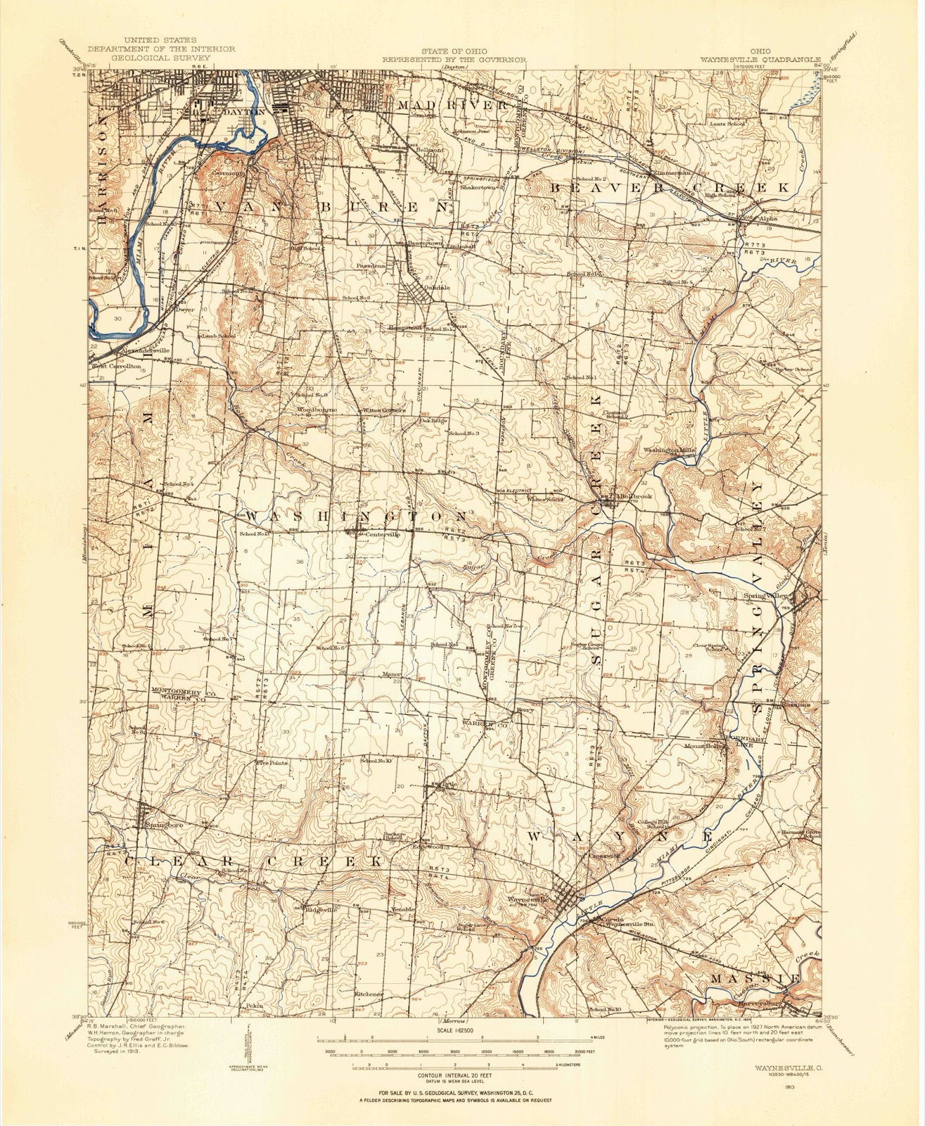
Topographic sheets covering this place
13 sheetsMatched by testing this settlement's coordinate against the published boundary of every sheet in the United States Geological Survey's historical collection. Each opens the scanned sheet at the Survey.
- 1913 USGS Waynesville quadrangle1:62500
- 1915 USGS Waynesville quadrangle1:62500
- 1953 USGS Cincinnati quadrangle1:250000
- 1953 USGS Cincinnati quadrangle1:250000
- 1953 USGS Cincinnati quadrangle1:250000
- 1955 USGS Springboro quadrangle1:24000
- 1957 USGS Cincinnati quadrangle1:250000
- 1965 USGS Springboro quadrangle1:24000
- 1965 USGS Springboro quadrangle1:24000
- 1965 USGS Springboro quadrangle1:24000
- 1965 USGS Springboro quadrangle1:24000
- 1986 USGS Dayton quadrangle1:100000
- 1986 USGS Dayton quadrangle1:100000






In the county-history sources
18,319 words on this townshipThe History of Warren County, Ohio, published 1882 names this settlement in its chapter on Wayne Township. These are the passages that mention it, exactly as the scans read.
In 1802, Samuel B. Walker and Isaac Spence settled within the present limits of the township, but this was not Walker's first visit to the wilds of Ohio. Early in the spring of 1798, Walker, then about twenty years old, in company with John Mahard started from Loudentown, Penn., and turning their faces westward traveled on foot to Pittsburgh, a distance of 150 miles. At that time there was no wagon road over the mountains of Western Pennsylvania, only a pathway traversed by pack horses; this trail they followed. On arriving at Pittsburgh they secured passage to Columbia on a flat-boat, agreeing to assist in the work as compensation for their passage. In due time, they landed at Cincinnati, and here they parted. Walker found his way out to Gen. Ludlow's place, and engaged in his service. He was possessed of a good practical education, including file theory and practice of surveying. This enabled him to be of great service to Ludlow, who took him with him, in the summer of 1798, on a surveying expedition up the Little Miami to Yellow Springs, thence across to and down the Big Miami, occupying some two months' time; after which ho worked some six months on the farm of Gen. Ludlow. In March, 1799, Walker went up to Williamsburg in Clermont County, to make his home with William Hunter, whom he had known in Pennsylvania. Here he met Gen. W. Lytle, and was employed by him to assist in pointing out and subdividing various bodies of land (owned by Lytle) to suit purchasers. In this capacity he was through our township when there was not a solitary settlement between Deerfield and the extreme southern part. The writer copied the following from a small memorandum book in possession of T. D. Walker.
Passage source: The History of Warren County, Ohio, published 1882.
Previous to this time his father, Samuel Walker, of Pennsylvania, had contracted with Gen. Lytle for eleven hundred acres of land, to be selected from a tract near Williamsburg, in Clermont County, or if these lands on view were not satisfactory, then was Walker to have his choice out of some three or lour other tracts.
Passage source: The History of Warren County, Ohio, published 1882.
In the spring of 1799, the father came on to see the lands and to consummate the purchase. In company with his son, he met Gen. Lytle, at Squire Hunter's, and being dissatisfied with the tracts in Clermont County, he, after some hesitation, accepted a deed for eleven hundred acres, situated in southern Hamilton Township, and upon which his son Samuel B. Walker - as has been already stated - settled in 1802. The consideration named in the deed was $2 per acre.
Passage source: The History of Warren County, Ohio, published 1882.
Machine-read from a century-old scan, so expect the errors a machine makes: misspelled names, dropped words, stray characters.
Read the whole chapter on Wayne Township - it names this place 12 more 12 times.
Specimens collected near this place
12 of 2,845 shownRegional context, not property-specific evidence. Museums hold 2,845 specimens collected within 10 miles of Lytle between 1844 and 1975: 2,787 Animalia, 43 Plantae, 15 Fungi. 12 distinct Species records are shown. Collected by A. R. Gaufin, A.C. Borror, A.R. Gaufin, H.H. Ross and others. Each is a physical object with a catalogue number, and each entry opens the museum's record. This is what was collected and kept, not a survey of what lives here - nothing can be concluded from a species being absent.
| Image | Species | Year | Collected by | Where, as recorded |
|---|---|---|---|---|
 | Polyporus dryophilus Berk. | 1844 | Lea T. G. | Waynesville |
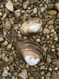 | Lampsilis ovata (Say, 1817) | 1862 | Whiteaves, Joseph F. | Little Miami Riv., Warren Co. |
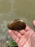 | Ptychobranchus fasciolaris (Rafinesque, 1820) | 1862 | Whiteaves, Joseph F. | Little Miami Riv., Warren Co. |
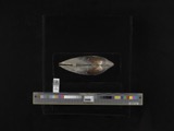 | Actinonaias ligamentina (Lamarck, 1819) | 1879 | Whiteaves, Joseph F. | Little Miami Riv., Warren Co. |
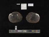 | Megalonaias gigantea (Barnes, 1823) | 1879 | Whiteaves, Joseph F. | Great Miami Riv. |
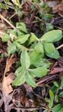 | Saponaria officinalis L. | 1881 | not recorded | Lebanon |
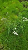 | Achillea millefolium subsp. millefolium | 1884 | Bennett, F.G. | Lebanon |
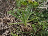 | Agrostemma githago L. | 1884 | Bennerht, F.G. | Lebanon |
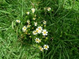 | Anthemis cotula L. | 1884 | Bennett, F.G. | [Lebanon] |
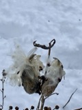 | Asclepias syriaca L. | 1884 | Berrerlt, F.G. | near Lebanon |
 | Calystegia sepium (L.) R.Br. | 1884 | not recorded | Lebanon |
 | Campsis radicans (L.) Bureau | 1884 | Bennett, F.G. | Near Lebanon |
All 2,845 specimens within 10 miles, at the Global Biodiversity Information Facility.
Mines and quarries near this place
3 within 5 milesRegional context, not property-specific evidence. The federal mineral resources record lists 3 workings within 5 miles of Lytle: 1 past producer, 1 plant, 1 producer. 2 still produce. What was taken out: Sand and Gravel, Construction, Stone, Crushed/Broken. Distance is straight-line from the map coordinates, so a quarry counted here may appear on a neighbouring settlement's page as well.
| Where | Site | Commodity | Status | Recorded |
|---|---|---|---|---|
| Lytle Pit & Mill | Stone, Crushed/Broken | Plant | ||
| Bailey Pit | Sand and Gravel, Construction | Past Producer | ||
| Waynesville Pit & Mill | Sand and Gravel, Construction | Producer |
Nearest settlements
The eight closest, with where each one stands in the county. Distances are straight-line, computed from the Geographic Names Information System coordinates.
| Map | Place | Distance | Sheets |
|---|---|---|---|
| Edgewood (historical) | 1.0 miles | 13 | |
| Kenricksville | 1.8 miles | 13 | |
| Venable (historical) | 2.4 miles | 13 | |
| Five Points | 3.1 miles | 13 | |
| Ridgeville | 3.1 miles | 13 | |
| Crosswick | 3.2 miles | 13 | |
| Waynesville | 3.3 miles | 13 | |
| Kitchener (historical) | 3.9 miles | 13 |
Provenance
This settlement is recorded in the Geographic Names Information System as feature 1061457. The sheet list is computed by point-in-boundary test against the United States Geological Survey's historical topographic inventory. Both are works of the United States government and carry no copyright under 17 U.S.C. 105.
Specimens. Global Biodiversity Information Facility (GBIF), https://www.gbif.org/. Only records licensed CC0 or CC BY are used. Records licensed CC BY-NC are excluded because this site carries advertising. Images are checked individually and any whose licence is non-commercial, no-derivatives or unreadable is refused.
Mines and quarries. USGS Mineral Resources Data System (MRDS) https://mrdata.usgs.gov/mrds/ A work of the United States government, no copyright under 17 U.S.C. 105.