BlockBefore
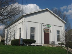
Decorative drawing: a county panorama. Not a photograph of this place.

Warren County, Ohio

76 topographic sheets and 27 fire insurance atlases across 5 places.

Research this county

This curated hub for Warren County, Ohio brings together the page's documented record links, visible map or image evidence where published, and routes to related local records.

What is documented here?

Use the page's provenance and linked records to distinguish the source material from the site's navigation and summaries.

How should I cite it?

Open the original record, preserve its repository and identifier, then use the citation tool for this page as a path back to the source.

Where should I go next?

Follow the county or state hub for related places and records, then use the guide for a source-aware research sequence.

From the record

30 National Register listings · 39 businesses named in the fire insurance atlases from 1885 to 1919 · the 1882 county history tells 1 stories and names 4 people · people the book names include Iiy Louis F. Coleman (Hamilton Township, 1882) · Sketch Of William Smalley (Washington Township, 1882) (machine-read).

Sources: the county history on the Internet Archive · the National Register database, National Park Service

Ohio within the United States
Warren County within Ohio
Explore by year 1849 1919

What the record shows

  • 5 places in this county were surveyed for fire insurance: Lebanon, Franklin, Mason, Morrow, Waynesville, between 1885 and 1946.
  • 27 fire insurance atlas(es) survive for the county. Topographic coverage is national; fire insurance survey reached only incorporated places with something worth insuring.
  • 1,003 topographic sheet readings cover the county's settlements.
  • 30 properties here are on the National Register of Historic Places, including 21 houses and farms.
  • 10 of the 30 listings were added during the 1970s.
  • The Geographic Names Information System records 71 populated places in this county; 0 are covered by at least one topographic sheet.
  • 3 public-domain county histories, 1882 to 1897, supply 70,124 words of narrative reproduced here in full.

What happened here

1 accounts

A captivity, a drowning, a famine, a man scalped clearing his lot in 1789. These are passages from The History of Warren County, Ohio, written while people who remembered the events were still alive, and each one opens the section it comes from.

1882, Washington Township

Wild Animals Game

It is an undisputed fact that panthers were among the wild animals that infested the forests of this district in early times. One of these was killed near Smalley's settlement in this township; another was seen by Capt, Titus, and their terrifying screams were frequently heard resounding through the forest.

Read the rest of this passage

Photographs

20 photographs, 2016

Taken for the Office of War Information and the Farm Security Administration, who photographed the country between 1935 and 1944. Works of United States government photographers, with no known restriction on use. Each opens its catalogue record.

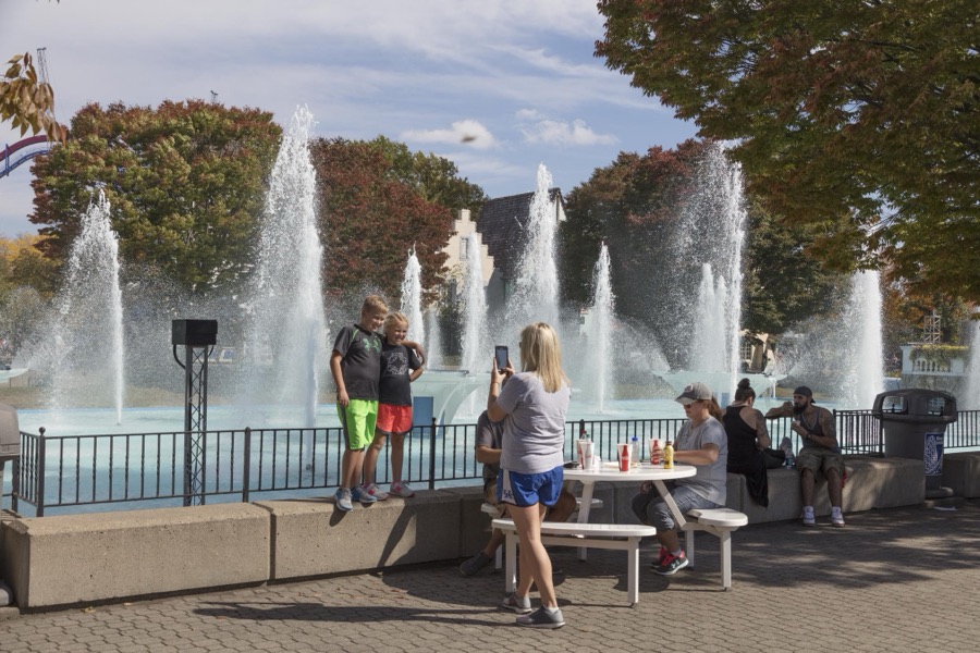
Patrons stroll among the rides at King's Island theme park in Mason, a northeastern suburb of Cincinnati, Ohio
Highsmith, Carol M, 2016. Library of Congress
King's Island theme park in Mason, a northeastern suburb of Cincinnati, Ohio
Highsmith, Carol M, 2016. Library of Congress
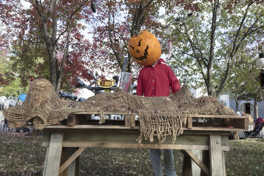
In keeping with a favorite American autumnal theme, King's Island theme park in Mason, a northeastern suburb of Cincinnati, Ohio, adds spooky Halloween props to its grounds
Highsmith, Carol M, 2016. Library of Congress
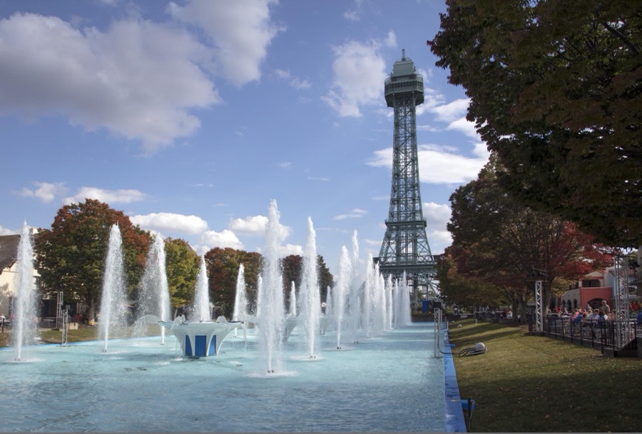
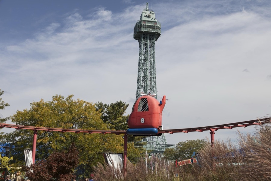
The one-third scale version of France's Eiffel Tower at King's Island theme park in Mason, a northeastern suburb of Cincinnati, Ohio, serves as an observation tower for the 364-acre amusement park
Highsmith, Carol M, 2016. Library of Congress
Fountains erupt near a concession area of King's Island theme park in Mason, a northeastern suburb of Cincinnati, Ohio
Highsmith, Carol M, 2016. Library of Congress
Fountains erupt near a one-third scale version of France's Eiffel Tower at the King's Island theme park in Mason, a northeastern suburb of Cincinnati, Ohio
Highsmith, Carol M, 2016. Library of Congress
Fountains erupt near a concession area of King's Island theme park in Mason, a northeastern suburb of Cincinnati, Ohio
Highsmith, Carol M, 2016. Library of Congress
In keeping with a favorite American autumnal theme, King's Island theme park in Mason, a northeastern suburb of Cincinnati, Ohio, adds spooky Halloween props to its grounds
Highsmith, Carol M, 2016. Library of Congress
In keeping with a favorite American autumnal theme, King's Island theme park in Mason, a northeastern suburb of Cincinnati, Ohio, adds spooky Halloween props to its grounds
Highsmith, Carol M, 2016. Library of Congress
In keeping with a favorite American autumnal theme, King's Island theme park in Mason, a northeastern suburb of Cincinnati, Ohio, adds spooky Halloween props to its grounds
Highsmith, Carol M, 2016. Library of Congress
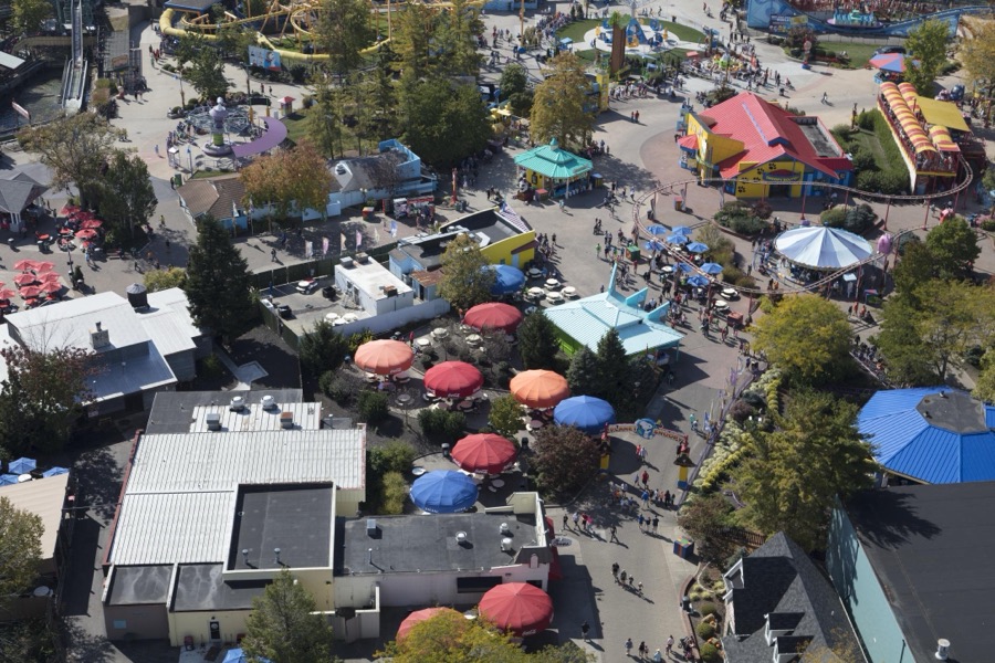
Overhead view from a one-third scale version of France's Eiffel Tower of King's Island theme park in Mason, a northeastern suburb of Cincinnati, Ohio
Highsmith, Carol M, 2016. Library of Congress
The one-third scale version of France's Eiffel Tower at King's Island theme park in Mason, a northeastern suburb of Cincinnati, Ohio, serves as an observation tower for the 364-acre amusement park
Highsmith, Carol M, 2016. Library of Congress
Patrons stroll among the rides at King's Island theme park in Mason, a northeastern suburb of Cincinnati, Ohio
Highsmith, Carol M, 2016. Library of Congress
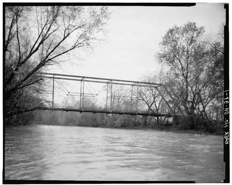
Millgrove Road Bridge, Spanning Little Miami Scenic River at County Road 38, Morrow, Warren County, OH
Unattributed, . Library of Congress
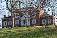
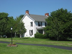
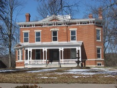
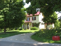
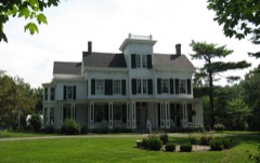
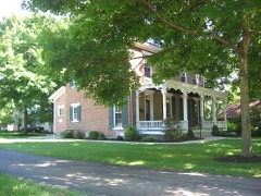
Governor Morrow House, Foster, Warren County, OH
Unattributed, . Library of Congress
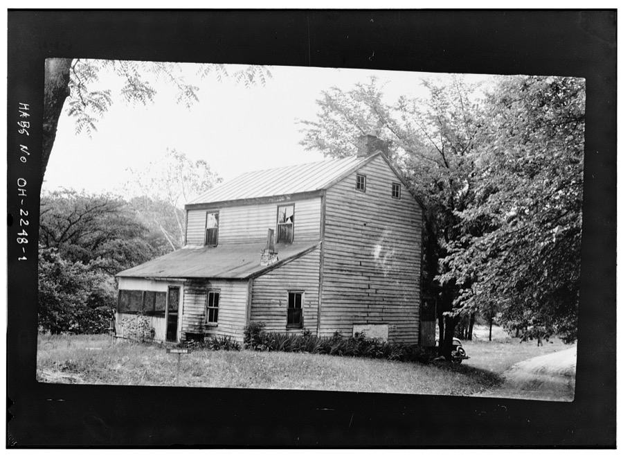
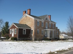
Moses McKay House, New Burlington Road, Corwin, Warren County, OH
Unattributed, . Library of Congress
Levi Lukens House, Middletown Road, Rural Route No. 3, Harveysburg, Warren County, OH
Unattributed, . Library of Congress
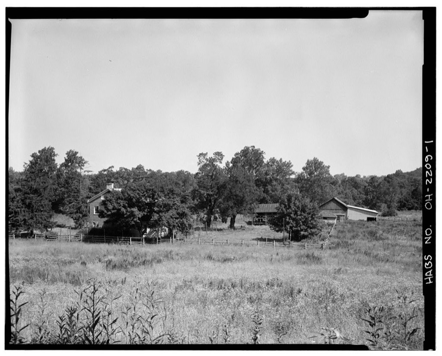
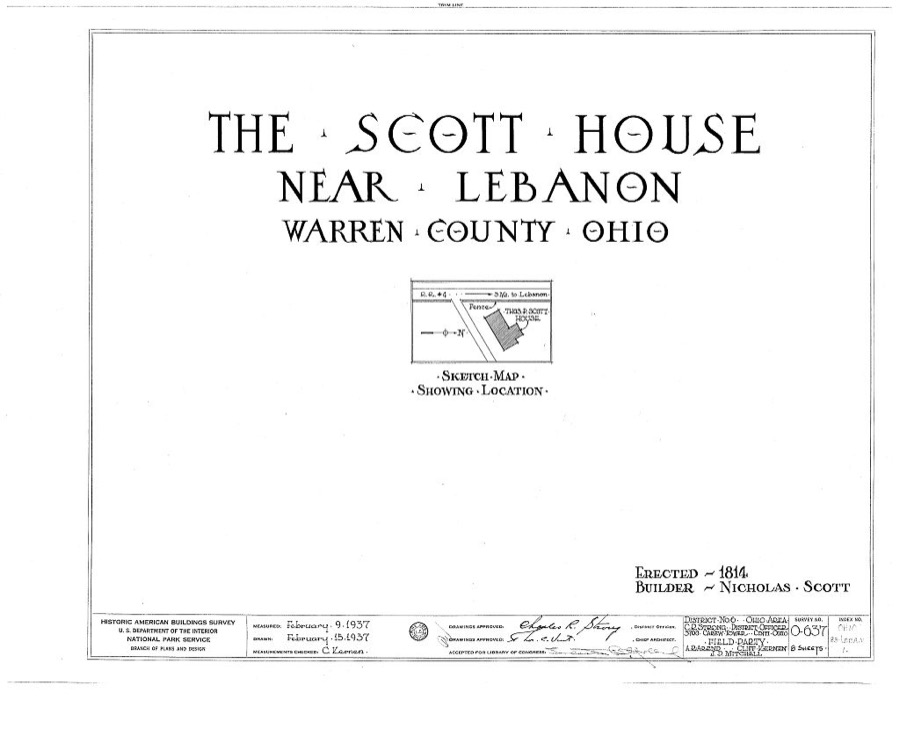
Thomas P. Scott House, Lebanon, Warren County, OH
Unattributed, . Library of Congress
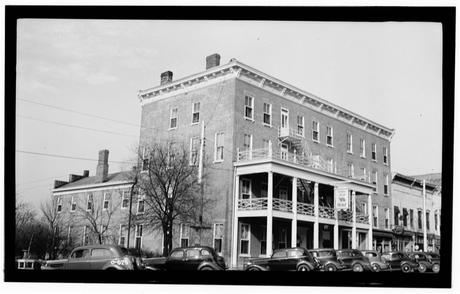
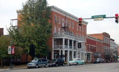
Golden Lamb Hotel, Main Street, Lebanon, Warren County, OH
Unattributed, . Library of Congress
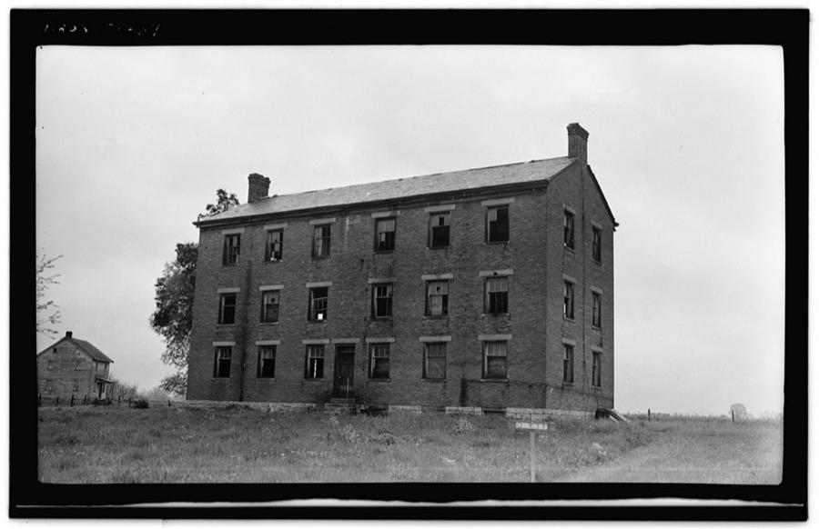
Shaker South Family, Dwelling House, State Routes 63 & 741 intersection, Otterbein, Warren County, OH
Unattributed, . Library of Congress

Places on the National Register

30

Every property in this county listed on the National Register of Historic Places, with the year it was listed and the federal nomination document.

Photograph PropertyType ListedReference
Butler, Charles, Housebuilding198282003664
Coffeen, Goldsmith, Housebuilding198484000165
Corwin Council House and Jailbuilding200101000589
Corwin Housebuilding198484000166
Corwin-Bolin Housebuilding198484000167
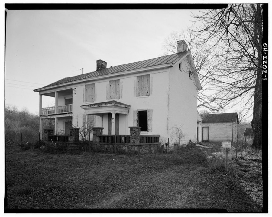
Crane, Jonathan, Farmbuilding197878002202
Crossed Keys Tavernbuilding197676001542
Deardoff, Daniel L., Housebuilding198484003810
Decker, Henry, Farmsteadbuilding200000001063
Ferney, John, Housebuilding198484000423
Glendowerbuilding197070000521
Golden Lambbuilding197878002204
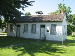
Harvey, Elizabeth, Free Negro Schoolbuilding197777001089
Hatton Farmbuilding197878002203
King, Ahimaaz, Housebuilding200808001199
Lebanon Academybuilding198484000427
Lebanon Cemetery Entrance Archstructure198484000157
Lebanon Cemetery Superintendent's Housebuilding198484000159
Maplewood Sanitoriumbuilding198484000432
McKay, Moses, Housebuilding197878002207
Mohrman-Jack-Evans Housebuilding198484000433
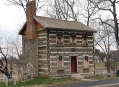
Old Log Post Officebuilding197676001541
Robinson, Edmund, Housebuilding197979001974
Satterthwaite, John, Housebuilding198888000239
Smith-Davis Housebuilding198585000245
Stanton Farmbuilding198080003243
Stokes, Benjamin A., Housebuilding198383002064
Waynesville Engine House and Lockupbuilding199998001643
West Baptist Churchbuilding198484000161
Wright, Dr. Aaron, Housebuilding197979001975

Covered bridges

0

Warren County holds 0 covered bridges on the National Register, more than any other property type here. Each is a listed structure with a federal nomination on file.

Bird's-eye views and land ownership maps

7

Drawn when these were printed as single large sheets: the town seen from the air, and the county divided into its farms with every owner named. Each opens the original at the Library of Congress.

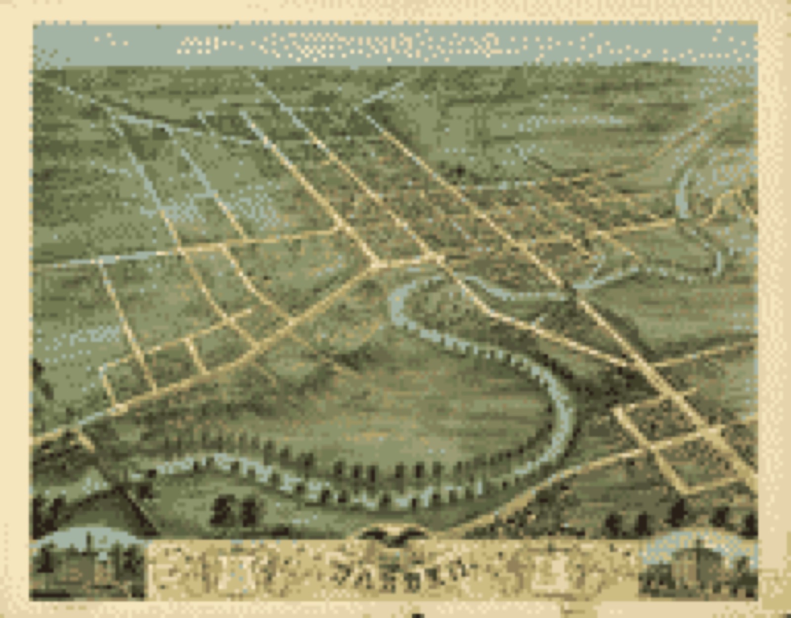
Bird's-eye view, 1870 - Bird's eye view of Warren, Trumbull County, Ohio 1870
Bird's-eye view (1870) - Bird's eye view of Warren, Trumbull County, Ohio 1870. Library of Congress.
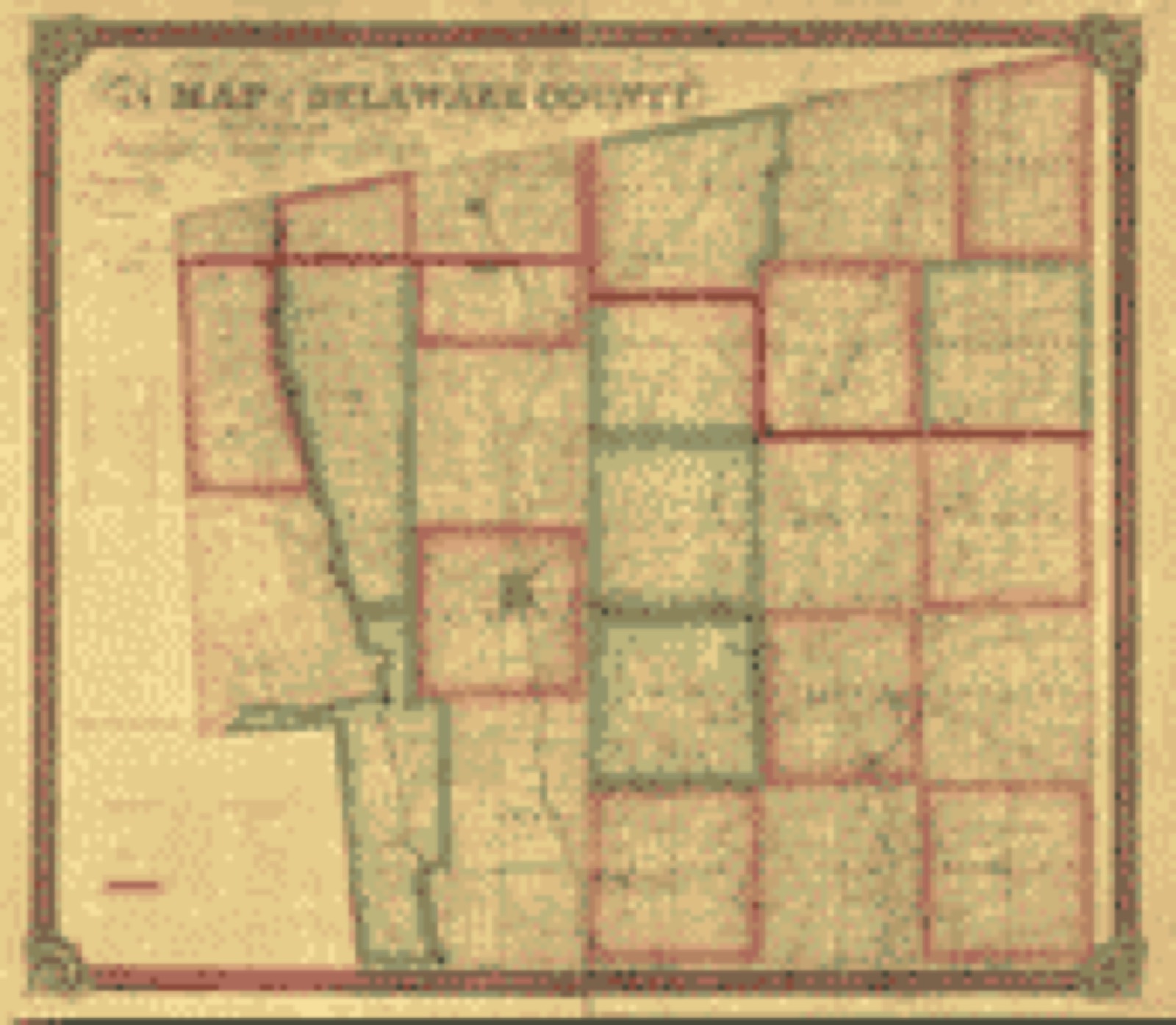
Land ownership map, 1849 - Map of Delaware County : also a part of Marion and Morrow counties
Land ownership map (1849) - Map of Delaware County : also a part of Marion and Morrow counties. Library of Congress.
Land ownership map, 1856 - Map of Franklin Co., Ohio
Land ownership map (1856) - Map of Franklin Co., Ohio. Library of Congress.
Land ownership map, 1883 - Map of Franklin County, Ohio
Land ownership map (1883) - Map of Franklin County, Ohio. Library of Congress.
Land ownership map, 1895 - Map of Franklin County, Ohio
Land ownership map (1895) - Map of Franklin County, Ohio. Library of Congress.
Land ownership map, 1857 - Map of Morrow Co., Ohio
Land ownership map (1857) - Map of Morrow Co., Ohio. Library of Congress.
Land ownership map, 1856 - Map of Warren Co., Ohio
Land ownership map (1856) - Map of Warren Co., Ohio. Library of Congress.

Photographs from libraries nationwide

2 shown

Selected from the Digital Public Library of America's 2 image records catalogued for this county. Every one shown here carries a public-domain status or a licence that permits reuse on a site that carries advertising; non-commercial, share-alike and restricted images are excluded. The selection is spread across the county's towns (at most eight per town), so no single institution's bulk upload crowds out the rest. Each opens the holding library's record, and the complete set at the Digital Public Library of America is one click away.

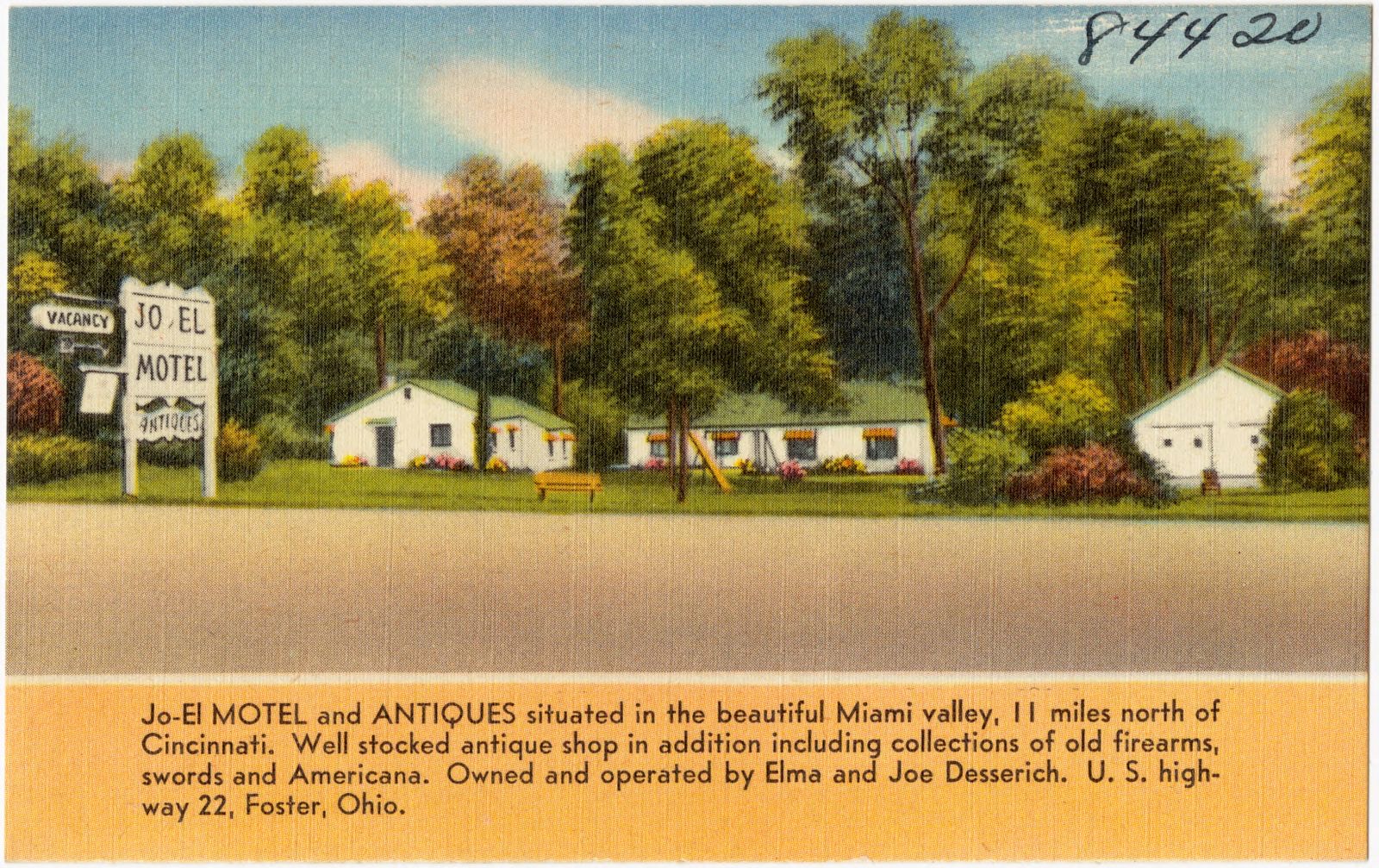
Jo-El Motel and Antiques, U.S. Highway 22, Foster, Ohio, Boston Public Library - undated
Jo-El Motel and Antiques, U.S. Highway 22, Foster, Ohio. Boston Public Library, via the Digital Public Library of America.
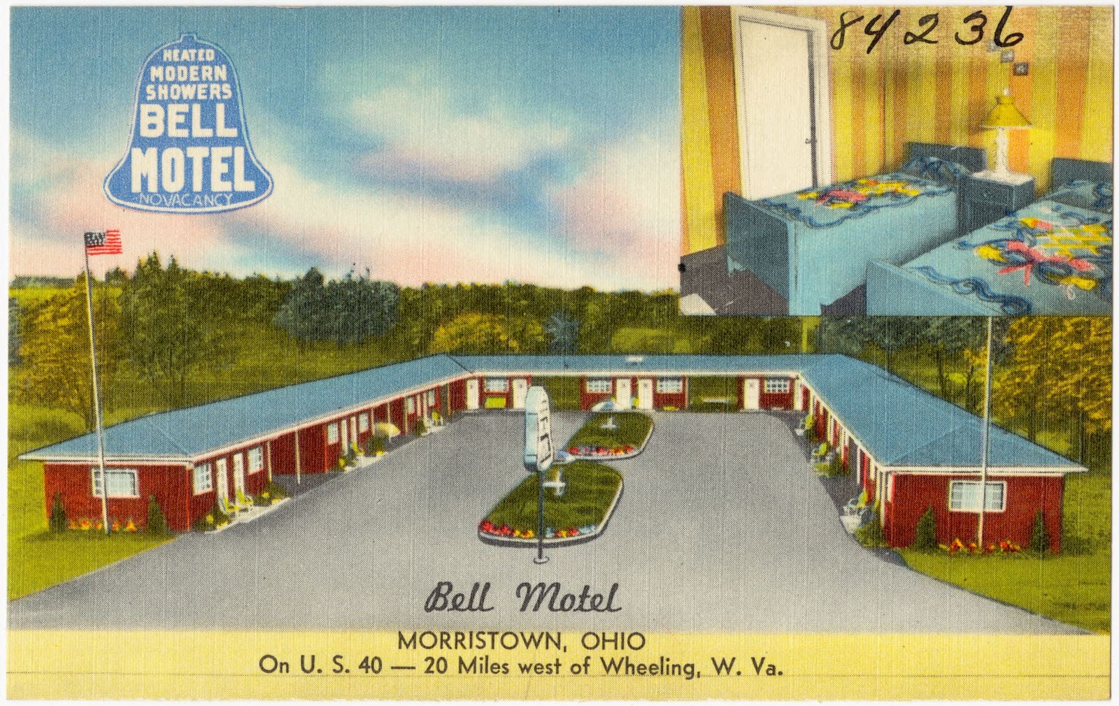
Bell Motel, Morristown, Ohio, on U.S. 40 -- 20 miles west of Wheeling, W. Va., Boston Public Library - undated
Bell Motel, Morristown, Ohio, on U.S. 40 -- 20 miles west of Wheeling, W. Va.. Boston Public Library, via the Digital Public Library of America.

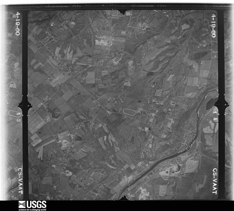
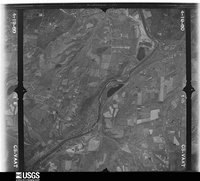
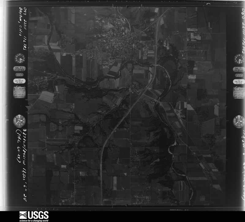
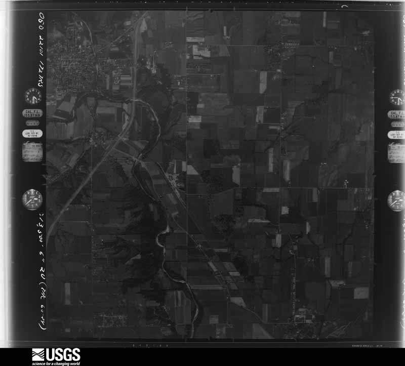
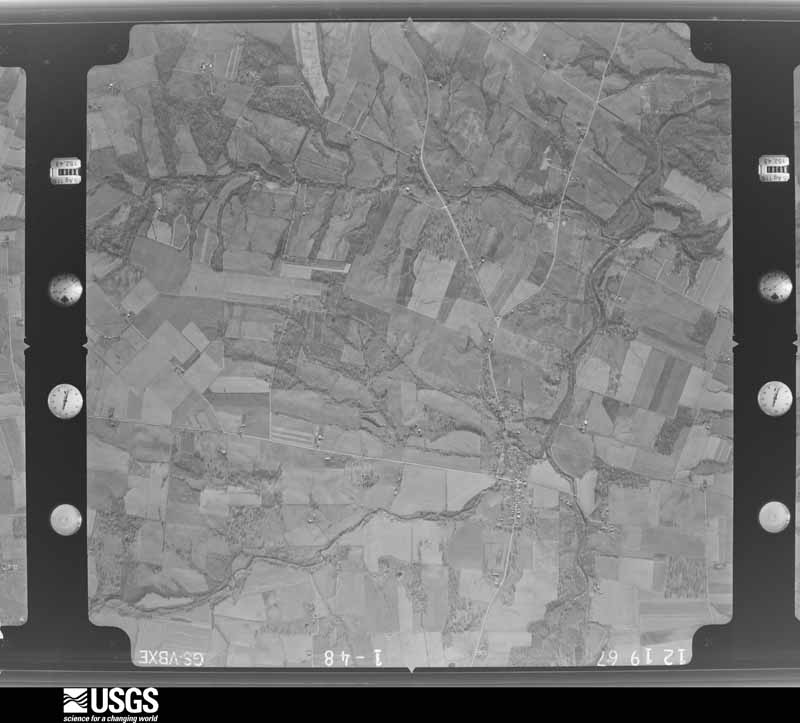
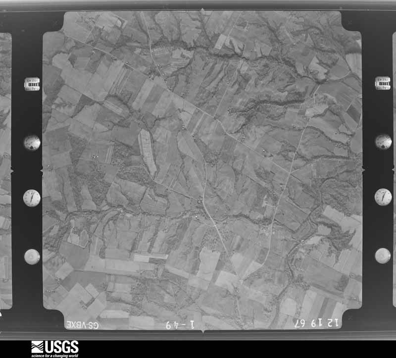
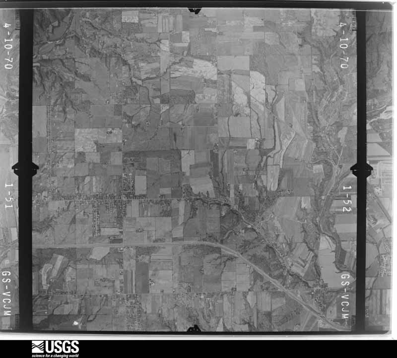
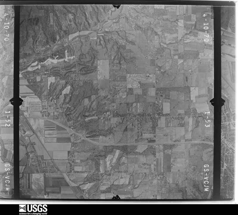
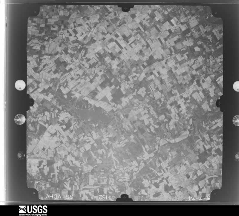
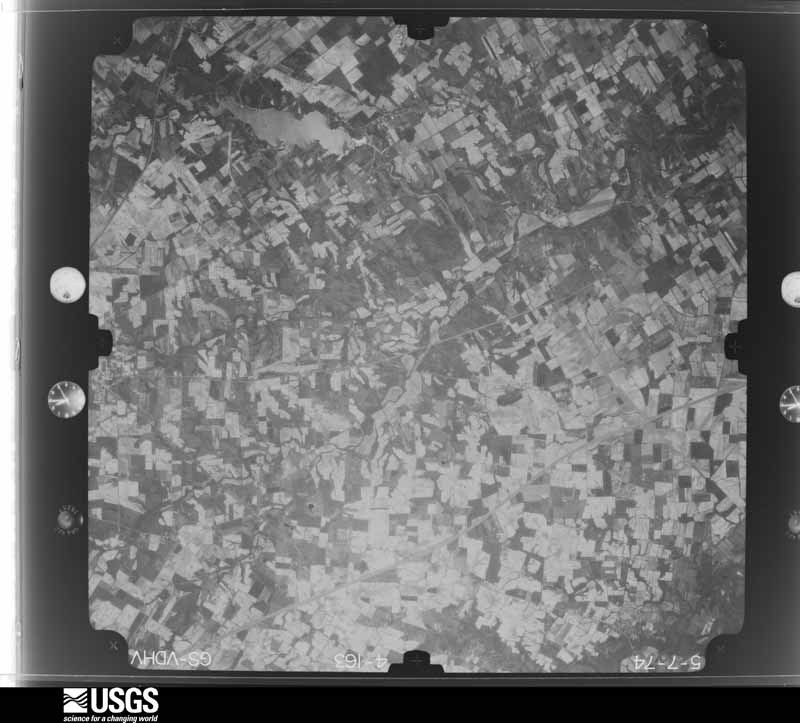
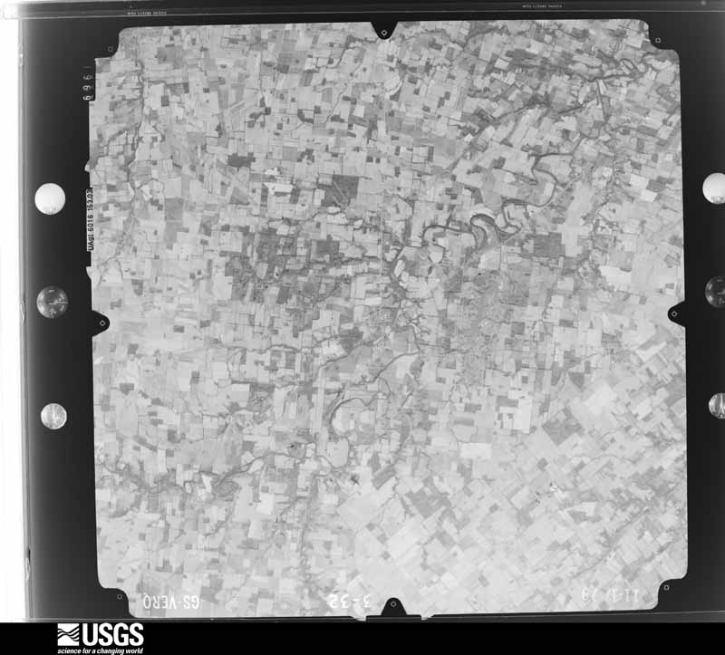
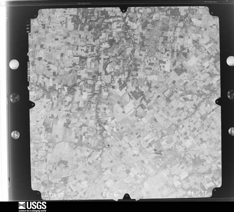
The county from the air

32 of 488 shown

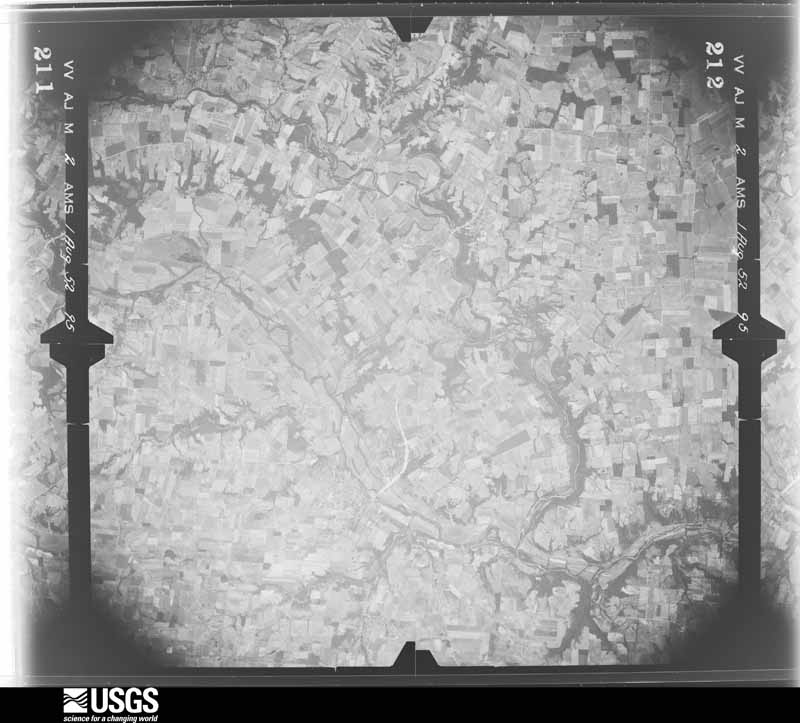
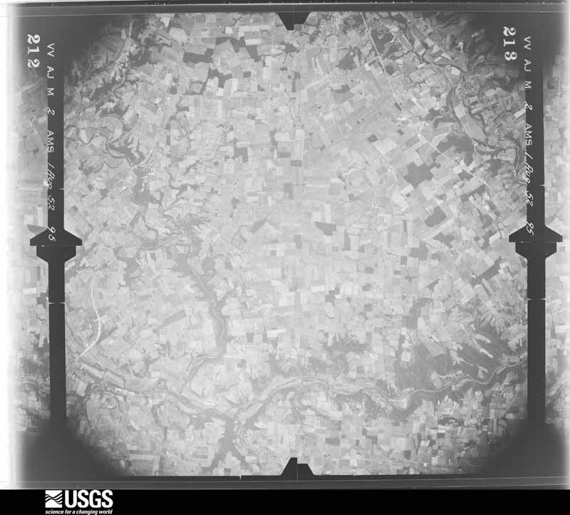
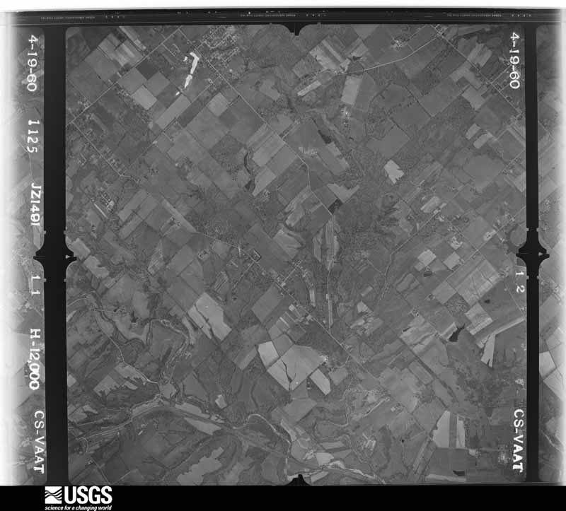
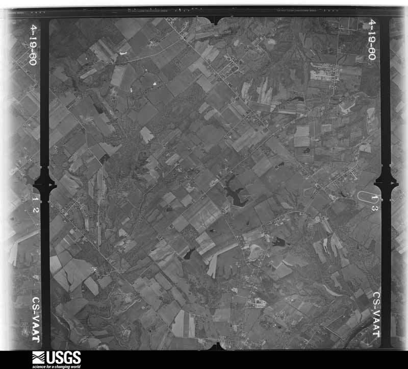
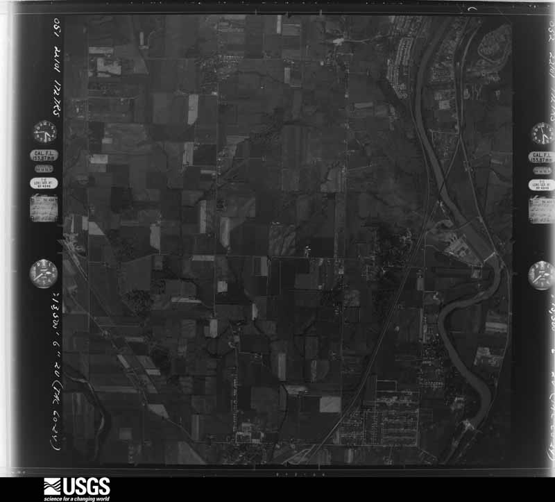
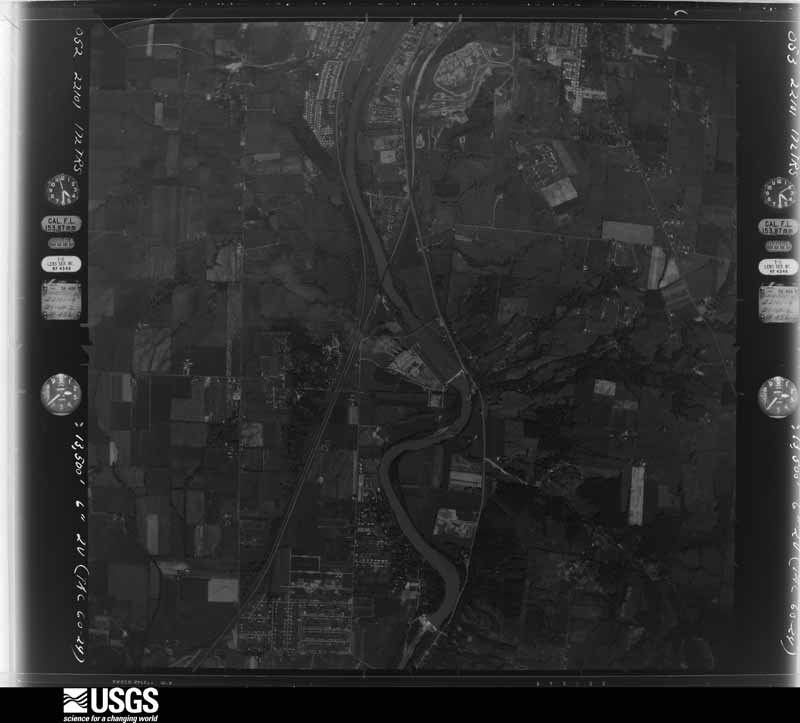
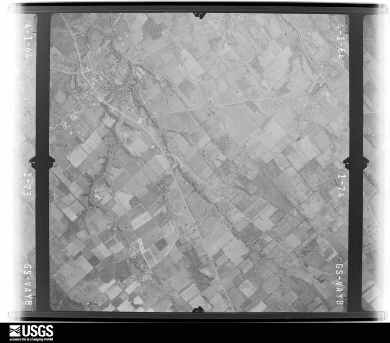
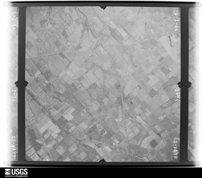
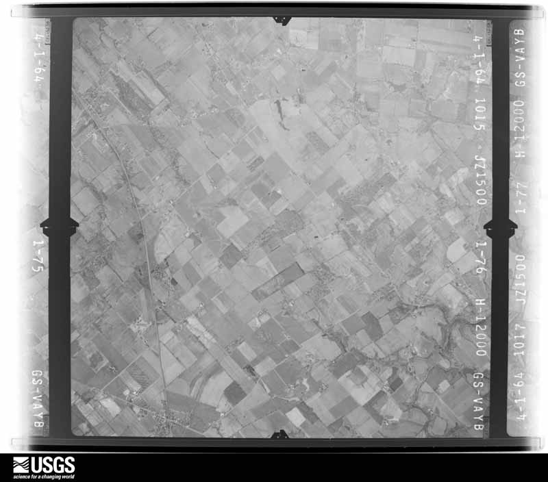
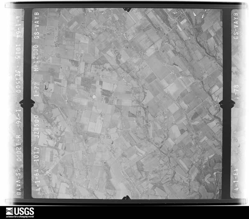
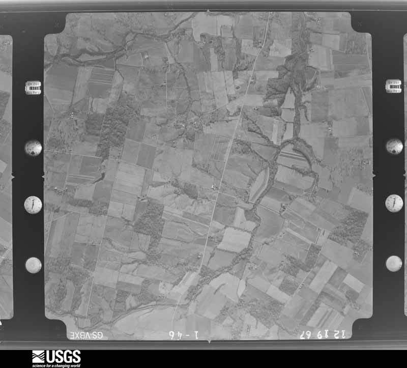
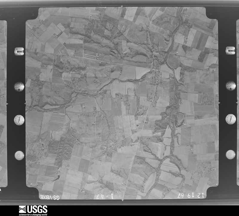
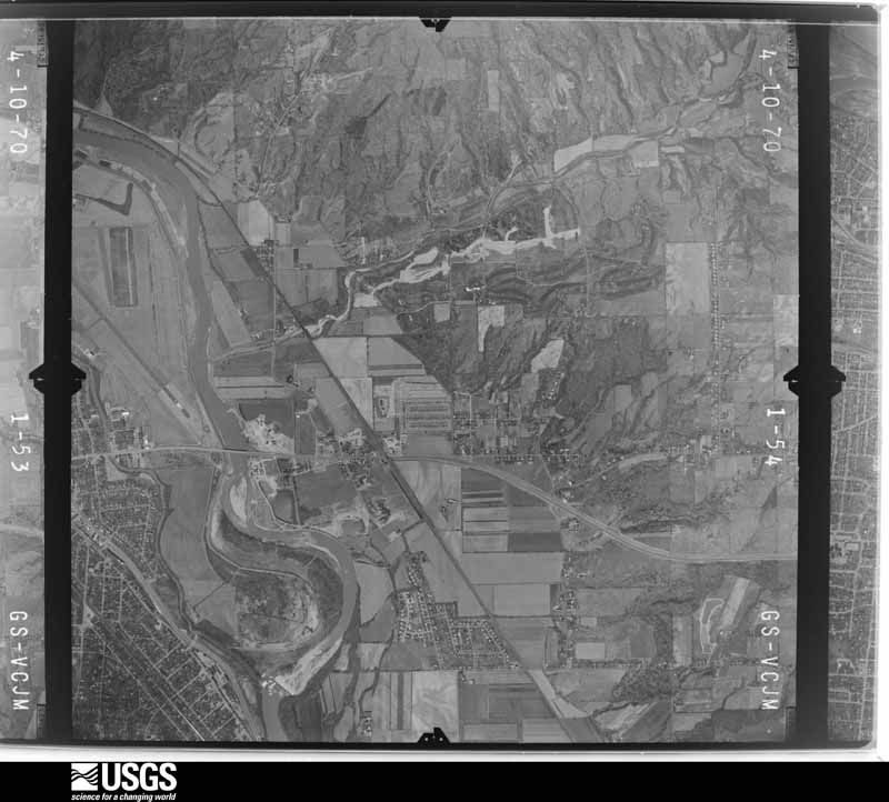
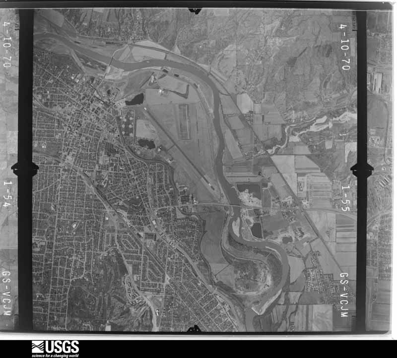
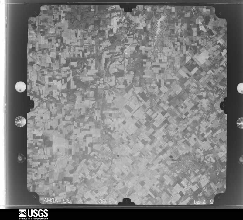
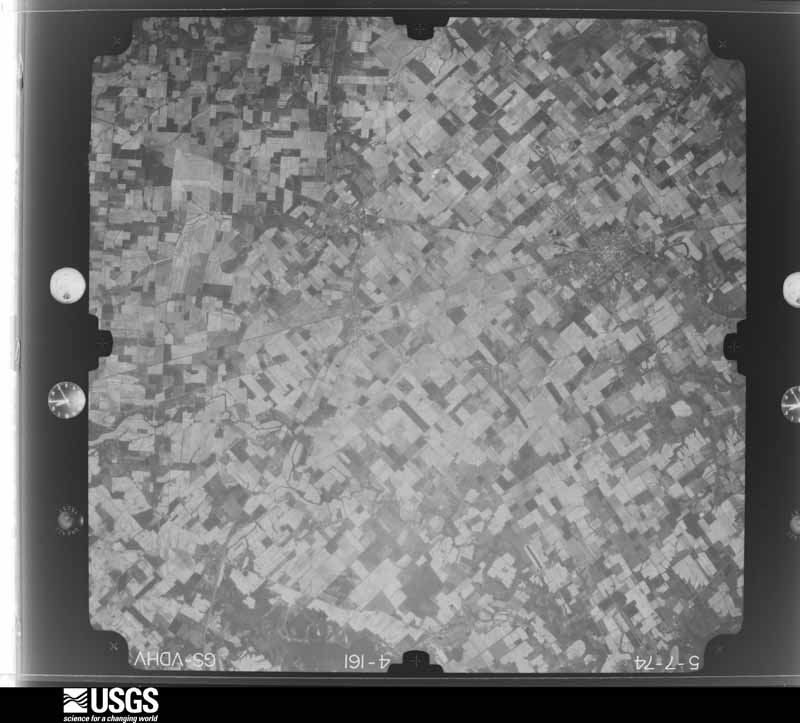
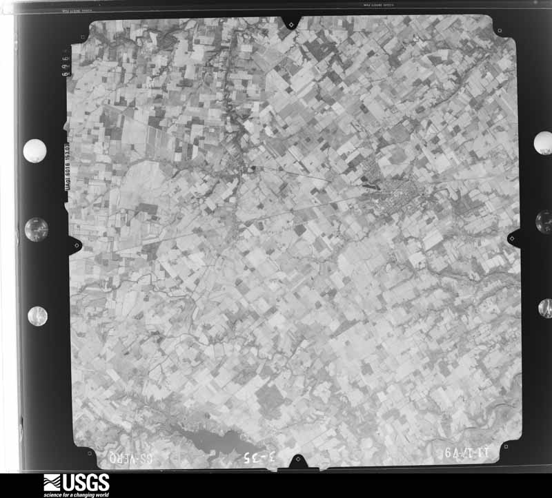
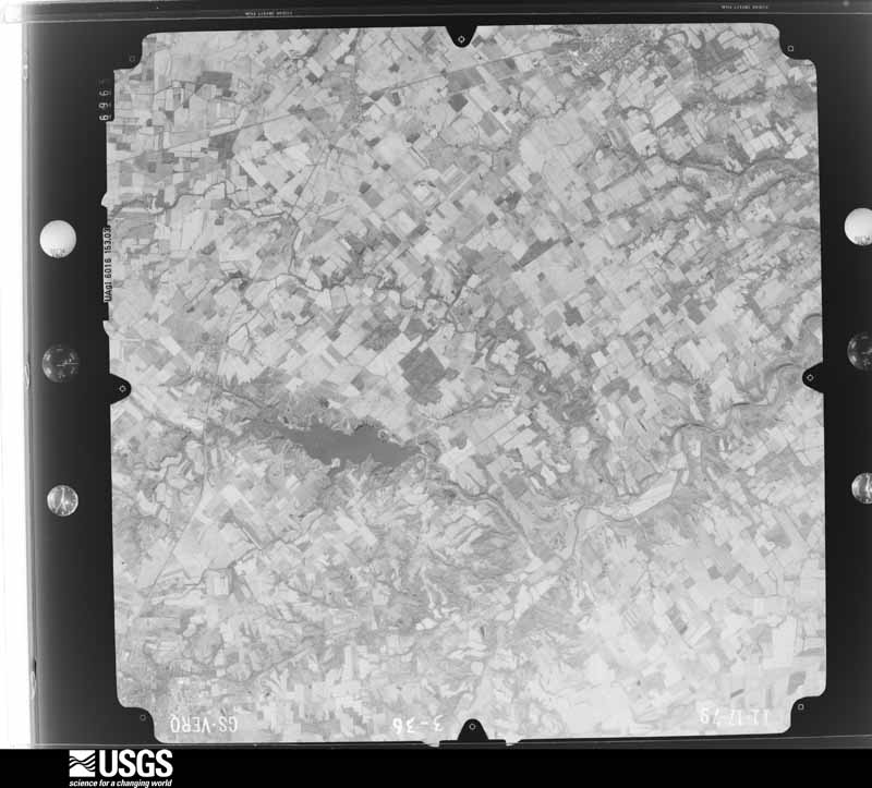
Flown by the U.S. Geological Survey between 1937 and 1989, the Aerial Photo Single Frames collection is the definitive mid-century view of the land: fields, roads and rivers as the camera saw them. 488 frames touch this county; the selection below spreads across the decades of flights (at most four per year), so one flight cannot crowd out the rest. The full set is free to browse and download at EarthExplorer under the dataset Aerial Photo Single Frames.

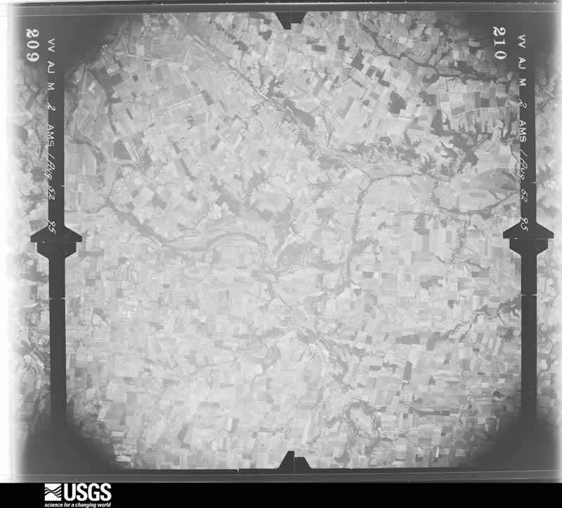
U.S. Geological Survey aerial photograph, 1952-08-01, scale 1:69000
1952-08-01, scale 1:69000. U.S. Geological Survey aerial photograph.
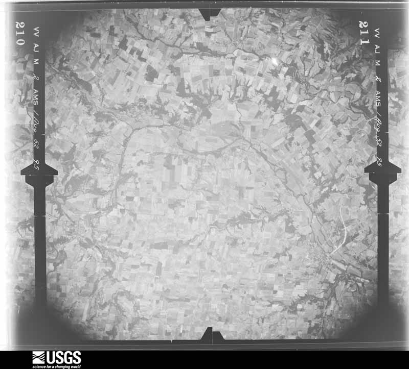
U.S. Geological Survey aerial photograph, 1952-08-01, scale 1:69000
1952-08-01, scale 1:69000. U.S. Geological Survey aerial photograph.
U.S. Geological Survey aerial photograph, 1952-08-01, scale 1:69000
1952-08-01, scale 1:69000. U.S. Geological Survey aerial photograph.
U.S. Geological Survey aerial photograph, 1952-08-01, scale 1:69000
1952-08-01, scale 1:69000. U.S. Geological Survey aerial photograph.
U.S. Geological Survey aerial photograph, 1960-04-01, scale 1:24000
1960-04-01, scale 1:24000. U.S. Geological Survey aerial photograph.
U.S. Geological Survey aerial photograph, 1960-04-01, scale 1:24000
1960-04-01, scale 1:24000. U.S. Geological Survey aerial photograph.
U.S. Geological Survey aerial photograph, 1960-04-01, scale 1:24000
1960-04-01, scale 1:24000. U.S. Geological Survey aerial photograph.
U.S. Geological Survey aerial photograph, 1960-04-01, scale 1:24000
1960-04-01, scale 1:24000. U.S. Geological Survey aerial photograph.
U.S. Geological Survey aerial photograph, 1962-09-21, scale 1:25622
1962-09-21, scale 1:25622. U.S. Geological Survey aerial photograph.
U.S. Geological Survey aerial photograph, 1962-09-21, scale 1:25622
1962-09-21, scale 1:25622. U.S. Geological Survey aerial photograph.
U.S. Geological Survey aerial photograph, 1962-09-21, scale 1:25622
1962-09-21, scale 1:25622. U.S. Geological Survey aerial photograph.
U.S. Geological Survey aerial photograph, 1962-09-21, scale 1:25622
1962-09-21, scale 1:25622. U.S. Geological Survey aerial photograph.
U.S. Geological Survey aerial photograph, 1964-04-15, scale 1:24000
1964-04-15, scale 1:24000. U.S. Geological Survey aerial photograph.
U.S. Geological Survey aerial photograph, 1964-04-15, scale 1:24000
1964-04-15, scale 1:24000. U.S. Geological Survey aerial photograph.
U.S. Geological Survey aerial photograph, 1964-04-15, scale 1:24000
1964-04-15, scale 1:24000. U.S. Geological Survey aerial photograph.
U.S. Geological Survey aerial photograph, 1964-04-15, scale 1:24000
1964-04-15, scale 1:24000. U.S. Geological Survey aerial photograph.
U.S. Geological Survey aerial photograph, 1967-12-19, scale 1:24000
1967-12-19, scale 1:24000. U.S. Geological Survey aerial photograph.
U.S. Geological Survey aerial photograph, 1967-12-19, scale 1:24000
1967-12-19, scale 1:24000. U.S. Geological Survey aerial photograph.
U.S. Geological Survey aerial photograph, 1967-12-19, scale 1:24000
1967-12-19, scale 1:24000. U.S. Geological Survey aerial photograph.
U.S. Geological Survey aerial photograph, 1967-12-19, scale 1:24000
1967-12-19, scale 1:24000. U.S. Geological Survey aerial photograph.
U.S. Geological Survey aerial photograph, 1970-04-10, scale 1:24000
1970-04-10, scale 1:24000. U.S. Geological Survey aerial photograph.
U.S. Geological Survey aerial photograph, 1970-04-10, scale 1:24000
1970-04-10, scale 1:24000. U.S. Geological Survey aerial photograph.
U.S. Geological Survey aerial photograph, 1970-04-10, scale 1:24000
1970-04-10, scale 1:24000. U.S. Geological Survey aerial photograph.
U.S. Geological Survey aerial photograph, 1970-04-10, scale 1:24000
1970-04-10, scale 1:24000. U.S. Geological Survey aerial photograph.
U.S. Geological Survey aerial photograph, 1974-05-01, scale 1:76000
1974-05-01, scale 1:76000. U.S. Geological Survey aerial photograph.
U.S. Geological Survey aerial photograph, 1974-05-01, scale 1:76000
1974-05-01, scale 1:76000. U.S. Geological Survey aerial photograph.
U.S. Geological Survey aerial photograph, 1974-05-01, scale 1:76000
1974-05-01, scale 1:76000. U.S. Geological Survey aerial photograph.
U.S. Geological Survey aerial photograph, 1974-05-01, scale 1:76000
1974-05-01, scale 1:76000. U.S. Geological Survey aerial photograph.
U.S. Geological Survey aerial photograph, 1979-11-01, scale 1:80000
1979-11-01, scale 1:80000. U.S. Geological Survey aerial photograph.
U.S. Geological Survey aerial photograph, 1979-11-01, scale 1:80000
1979-11-01, scale 1:80000. U.S. Geological Survey aerial photograph.
U.S. Geological Survey aerial photograph, 1979-11-01, scale 1:80000
1979-11-01, scale 1:80000. U.S. Geological Survey aerial photograph.
U.S. Geological Survey aerial photograph, 1979-11-01, scale 1:80000
1979-11-01, scale 1:80000. U.S. Geological Survey aerial photograph.

City directories

1 volume

The "who lived here, by year" answer: pre-1929 public-domain directory volumes naming the county's people, machine-read and searchable as text.

Weather records

45 stations, 11 gages

The thermometers that kept this county's weather, and the gages that watched its rivers, as the federal records hold them. The extremes below are measured values from those records, not estimates.

The 1950 census, district by district

46 districts

Who lived here in 1950, one enumeration district at a time, as the Census Bureau described each district. Each row opens its official National Archives result, with Population Schedules and ED Maps available there.

  • 83-1Clear Creek township: Springboro village
  • 83-2Clear Creek township - That part east of State Hwy. 48
  • 83-3Clear Creek township - That part north of State Hwy. 73 and west of State Hwy. 48, outside Springboro village
  • 83-4Clear Creek township - That part south of State Hwy. 73 and west of State Hwy. 48, outside Springboro village
  • 83-5Deerfield township: Mason village
  • 83-6Deerfield township - That part northwest of Pennsylvania Railroad, outside Mason village
  • 83-7Deerfield township - That part southeast of Pennsylvania Railroad, outside Mason village
  • 83-8Franklin township: Franklin village: Franklin village - That part Bounded by Village limits; Village limits; 2nd; Center, Van Horne Ave., Village limits
  • 83-9Franklin village - That part Bounded by Village limits, Van Horn Ave.; Center; 2nd, Park Ave.; Village limits
  • 83-10Franklin village - That part Bounded by Park Ave., 2nd; Center; New York Central Railroad, Great Miami River; Village limits
  • 83-11Franklin village - That part Bounded by 2nd; Village limits; 6th, Anderson, 5th; Center
  • 83-12Franklin village - That part Bounded by 5th, Anderson, 6th; Village limits; Village limits; Village limits, Center
  • 83-13Franklin village - That part Bounded by Great Miami River, New York Central Railroad; Center; Village limits
  • 83-14Franklin township - That part east of U.S. Hwy. 25, outside Franklin village
  • 83-15Franklin township - That part southeast of Baltimore and Ohio Railroad and west of U.S. Hwy. 25, outside Franklin village
  • 83-16Franklin township - That part northwest of Baltimore and Ohio Railroad
  • 83-17South Lebanon village, comprising parts of Hamilton and Union townships: South Lebanon village - That part in Hamilton township
  • 83-18South Lebanon village - That part in Union township
  • 83-19Hamilton township, outside South Lebanon village: Loveland village - That part in Warren county. comprising part of Hamilton township (Remainder of Loveland village is in Miami township, Clermont County and Symmes township, Hamilton County)
  • 83-20Maineville village
  • 83-21Hamilton township - That part east and southeast of State Hwy. 48, outside Loveland, Maineville and South Lebanon villages
  • 83-22Hamilton township - That part west and northwest of State Hwy. 48, outside Loveland, Maineville and South Lebanon villages (Remainder of Hamilton township is in South Lebanon village)
  • 83-23Harlan township: Butlerville village
  • 83-24Pleasant Plain village
  • 83-25Harlan township - That part northeast of State Hwy. 123
  • 83-26Harlan township - That part southwest of State Hwy. 123, outside Butlerville and Pleasant Plain villages
  • 83-27Massie township: Harveysburg village
  • 83-28Massie township - That part outside Harveysburg village
  • 83-29Salem township: Morrow village
  • 83-30Salem township - That part outside Morrow village
  • 83-31Turtle Creek township: Lebanon village : Lebanon village - That part Bounded by Columbus Ave., Village limits; Village limits; Main, Chillicothe Ave.; Mound
  • 83-32Lebanon village - That part Bounded by Village limits; Columbus Ave., Mound; Chillicothe Ave., Mulberry; Broadway, Dayton Pike
  • 83-33Lebanon village - That part Bounded by Village limits; Dayton Pike, Broadway; Mulberry, West, Main; Village limits
  • 83-34Lebanon village - That part Bounded by Main, West, Mulberry; Broadway, Maple Ave., Deerfield Ave.; Village limits; Village limits
  • 83-35Lebanon village - That part Bounded by Pennsylvania Railroad; East, Village limits; Deerfield Ave., Maple Ave.; Broadway
  • 83-36Lebanon village - That part Bounded by Mulberry, Chillicothe Ave., Main; Village limits; Village limits; East, Pennsylvania Railroad, Broadway
  • 83-37Turtle Creek township - That part northeast of State Hwy. 123, outside Lebanon village
  • 83-38Turtle Creek township - That part southwest of State Hwy. 123, outside Lebanon village, excluding Lebanon State Farm, and Otterbein Home
  • 83-39Lebanon State Farm (In Turtle Creek township)
  • 83-40Otterbein Home (In Turtle Creek township)
  • 83-41Union township - That part outside South Lebanon village: (Remainder of Union township is in South Lebanon village)
  • 83-42Washington township
  • 83-43Wayne township: Corwin village
  • 83-44Waynesville village
  • 83-45Wayne township - That part north of State Hwy. 73, outside Corwin and Waynesville villages
  • 83-46Wayne township - That part south of State Hwy. 73, outside Corwin and Waynesville villages

Businesses named in the atlases

39 businesses

Every Sanborn volume opens with a printed index naming the town's mills, tanneries, hotels and works by proprietor. Those indexes were read off the scanned sheets by machine and then matched to each other, so a business surveyed four times appears here once, with the years it survived. 8 of these 39 were named in more than one atlas. Each carries a crop of the line it was read from: the spelling is the recogniser's and the 1880s lithographer's, and the scan behind it is the proof.

Storms, 1956 to 2026

60 of 676 shown

The NOAA Storm Events Database holds 676 reports for this county, causing 4 deaths, 33 injuries and about $55,801,850 in recorded property damage. Each settlement page carries the reports that name it.

Kind of event Reports
Thunderstorm Wind369
Hail127
Flood70
Flash Flood64
Tornado35
Heavy Rain6
Lightning5

The most serious of them, by death, then injury, then recorded damage. The accounts are quoted exactly as the forecast office filed them.

WhenEvent Place namedHarm What the report says
March 2015FloodOregonia1 killed, $5,000A 72 year old woman drove her car into the Little Miami River from a parking area along Cold Springs Road. The woman was pulled from the car by rescuers but was later pronounced dead at the hospital.
March 2023FloodCrosswick1 killedHigh water was reported in the Waynesville area. An 11 year old boy was killed when he fell into a flooded ditch. M11IW.
May 2004LightningMorrow1 killedA 35 year old man was struck by lightning and died while fishing at Cozzadale Campgrounds.
May 1969Tornado (F3)not stated10 hurt, $250,000no account filed
April 1974Tornado (F2)not stated9 hurt, $2,500,000no account filed
September 1990Tornado (F2)not stated4 hurt, $2,500,000no account filed
April 1975Tornado (F2)not stated3 hurt, $2,500,000no account filed
May 2006Thunderstorm WindPleasant Plain1 hurt, $20,000Several large trees were downed, including one on a home. A woman in the home was injured. A second home had its roof ripped off. A pole barn was also severely damaged.
May 1999Thunderstorm WindFranklin1 hurt, $13,000Strong winds took a chair into the air, striking a person. The metal roof from a car wash in Springboro was torn off. Also, scaffolding and several trees were knocked down.
October 2013Thunderstorm WindFranklin1 hurt, $10,000A semi truck was overturned on Interstate 75 due to thunderstorm winds. The driver sustained minor injuries.
June 2006LightningMorrow1 hurtA 16 year old boy was injured by a lightning strike.
June 2005LightningSpringboro1 hurtA man, age unkown, was struck by lightning at a construction site.
August 2001Flash FloodMason1 hurtSeveral inches of rain in less than 1 hour caused flooded roads around Maineville. Also, cars were submerged in water and a woman was swept through a drain pipe at the Tennis Masters Series tournament in Mason. She was injured but survived.
May 1991Thunderstorm Windnot stated1 hurtno account filed
June 1990Tornado (F4)not stated$25,000,000no account filed
September 2003Thunderstorm WindMason$4,000,000An intense microburst caused extensive damage to homes and businesses across the southern part of the county. Several buildings sustained major damage along Mason-Montgomery Road. Up to fifty windows were blown out at Kings Junior High School. Portions of the roof were damaged and a wall was blown in at the junior high school as well. Numerous buses near the junior high school were severely damaged by flying debris and a nearby shed was destroyed. The fifty foot marquee at Kings Island Amusement Park was blown down and completely destroyed. 36 homes suffered roof damage in Kings Mills. In South Lebanon, a small church and 75 homes sustained damage, including five that were severely damaged. Fifteen vehicles were struck by fallen trees. Trees and power poles were downed in a widespread area. Maximum wind speeds were estimated between 80 and 100 mph.
April 1999Tornado (F1)Loveland Park$3,000,000The tornado crossed from Hamilton county through southeast Deerfield Township and across the Little Miami River. The tornado damaged several houses, hundreds of mature trees, along with garages and barns.
April 2002HailMaineville$2,500,000Extensive hail damage to homes, cars and businesses occurred across the southern part of the county from Twenty Mile Stand, through Maineville to near Morrow and Pleasant Plain.
April 1999Tornado (F2)Maineville$2,500,000A tornado touched down in eastern Hamilton Township causing heavy damage to a farmstead. The roof of the house and an extension to a barn were destroyed. Further down the path, a house was skewed from its foundation.
April 1998Flash FloodCountywide$2,000,000Persistent heavy rainfall caused county creeks and streams to flood across roads. A section of State Route 350 was washed out by the high water. One hundred fifty people were evacuated from the banks of Turtle Creek while a total of 210 were evacuated across the county. Seventy homes received minor damage and 5 had major damage.
July 2001Flash FloodMason$604,000One hundred homes sustained damage with two destroyed from high water. A resident lost six cars when water flooded his garage. Several roads across county sustained minor damage. Total estimate of public assistance is 603,916.
May 2024Tornado (EF1)Roachester$500,000The tornado began in the Little Miami River Valley, within the village of Morrow where tree damage and minor structure damage was observed. Extensive tree damage occurred along the northern hillside rising up out of the valley. More sporadic tree damage was noted along the hillside rising up from the southern side of the river. Several homes along Mason Morrow Millgrove Road received structural damage. One home had a total removal of its second story while an adjacent home had partial removal of its roof. Winds at this location were estimated to be at 95 mph, or EF-1.||The tornado continued northeast along the Little Miami River, with more damage found near the intersection of Mason Morrow Millgrove Road and Woodward-Claypool Road. Widespread tree damage occurred on a large stretch of the Little Miami Bike Path. The tornado then appeared to weaken as it moved northeast, causing more minor tree damage and some minor structural damage to a residence before ending.
June 2010LightningUnion Vlg$500,000A 62 foot statue of Jesus burned to the ground after being struck by lightning.
July 1997Flash FloodLoveland Park$500,000Five inches of rain fell in only a few hours in a highly urbanized area . Water flooded roads and swept a few cars away. The local Holiday Inn had 30 rooms flooded.
April 1994Thunderstorm WindCountywide$500,000Trees were downed in a number of locations. A funnel cloud was sighted in the Kings Mills. No touchdown was confirmed but roof damage occurred to an auto dealership and golf ball-size hail fell.
September 2000Thunderstorm WindCarlisle$450,000Numerous large trees were knocked down and significant damage occurred to several homes.
June 2016Tornado (EF1)Edgetown$360,000The tornado first touched down at a campground on State Route 73 near Waynesville. At this location, trees were snapped, platform tents damaged, mattresses thrown, and there was evidence of a tornadic circulation in the grass. The tornado path continued southeast across U.S. Route 42 south of Waynesville with snapped trees. Barn damage occurred at a residence off of North Clarksville Road, where large sections of metal roofing were uplifted and barn doors were blown in. Trees on the property were snapped and were facing in a convergent pattern. Additional tree damage continued down North Clarksville Road. More trees were snapped near Caesar Creek Lake south of Harveysburg and also on Harveysburg Road.|Southeast of Interstate 71 on Doster Road, two homes sustained damage. There was loss of roofing material and the winds made one side of the house bulge outwards. Debris splatter was present on several sides of a home. Trees were uprooted and snapped in this area. The brick wall of a barn collapsed, while sections of roof were uplifted from barns. |The path continued southeast, where tree damage occurred along Hadley Road and South Clarksville Road. In the Ogden area off of Ogden Road, several trees were snapped. A tree also fell on a home in this area. There was again evidence of a tornadic signature with leaf debris on all sides of a barn. Trees and power lines were down along the path on Linkhart Road. |Off of State Route 730, some mobile homes were damaged, while several trees were snapped and a tree was uprooted. In addition, there was a convenience store that sustained loss of roofing materials with only some of the wooden beams remaining on part of the structure. Insulation was plastered to all sides of the building. Finally, a house lost portions of its metal roof while a barn incurred damage to its siding.|On Mcguinn Road, multiple houses sustained damaged. One home had extensive siding damage, the partial loss of a wall and roof damage, while insulation was plastered against several sides of the building. A small shed was destroyed and debris was tossed into a nearby field. The foundation of one garage was shifted slightly. At another residence, the two of the three sides of the garage were gone with the garage door pushed in. There were some subtle indications that damage continued into the crops in the field. Finally, a large shed lost half of the roof and fence damage occurred to a nearby property. |South of Wilmington along U.S. Route 68, trees and power poles were damaged. The tree damage continued on East Dalton Road, Cuba Road, Ireland Road, and onto Berlin Road. Also on Berlin Road, a house lost a portion of the roof and a garage door was pushed inward. Damage occurred to another home on Leslie Drive, were there was partial loss of the roof and insulation was plastered against the house on all sides. On Brown Road, a tree was uprooted and part of the roof of a barn was uplifted. |On State Route 134 a shed was blown and tossed off of the foundation. Items were tossed far into a field. At another location, there was evidence of tornadic circulation in the grass. Multiple barns sustained damage, with damage to the roofs and walls. Silos were tossed into a field. The house had glass that was broken and was sticking into an interior wall of the house. The house also had damage to part of the roof. Several trees were also snapped at this location. |At the end of the path off of Crouse Road, a barn was destroyed and a silo was damaged. Tree damage was observed in a field.
April 2019FloodBlackhawk$250,000Ohio Route 123 was closed between Ohio Route 132 and U.S. 22/OH-3 due to land slippage at the edge of the road.
April 2015Thunderstorm WindLebanon$250,000Straight line winds blew a side wall out of a house's garage and roof damage occurred to about 30 additional homes. Numerous large trees were also knocked down.
April 1998LightningSpringboro$250,000Lightning struck a home which caused a fire. The home was completely destroyed by the fire.
July 1992Tornado (F1)not stated$250,000no account filed
October 1977Tornado (F0)not stated$250,000no account filed
June 1976Tornado (F0)not stated$250,000no account filed
April 1974Tornado (F4)not stated$250,000no account filed
March 2025Tornado (EF0)Mason$215,000The tornado initially began in Butler County at 1952EST, near the intersection of Tylersville Road and Lady Anne Drive. The tornado traveled east and entered Warren County along Butler Warren Road, between Tyler Court and Clover Drive at 1953EST. From here, the tornado continued due east and affected numerous subdivisions along a narrow path through the central part of Mason. The majority of the damage in these areas included uprooted trees and broken tree limbs, along with minor roof and siding damage to several homes. ||The tornado crossed I-71, near the Kings Mills exit, and caused a few trailers to be overturned at an RV Resort. As the tornado continued east, it downed numerous trees along Kings Mills Road and through the town of Kings Mills. The tornado then crossed the Little Miami River and continued to cause sporadic tree and minor house damage in a narrow path across the subdivisions along both side of State Route 48. One house to the east of State Route 48 suffered a partial wall collapse of its garage. ||The tornado continued east along U.S. Route 22, causing spotty tree and home damage before ending just west of the Little Miami Junior High School.
April 2025Tornado (EF0)Maineville$200,000The tornado developed just east of Maineville, where tree and garage damage occurred in the area near Mounts Road, with more extensive tree damage near the intersection of Morrow Cozaddale Road and Ireland Road. The tornado moved northeast and caused damage in a subdivision near Morrow. Tree damage and minor home also occurred on Alpine Heights Drive and Jessica Suzanne Drive. The tornado paralleled U.S. Route 22 near Roachester, where the metal roof of an outbuilding was removed, and several trees were uprooted or knocked down. The last known damage associated with this tornado occurred on Fischer Road, where a tree was blown onto a home.
May 2024Tornado (EF1)South Lebanon$200,000The tornado first formed in South Lebanon with primarily minor tree damage observed for several city blocks on the northeast side of town. Broken limbs were found along Pike Street, Claude Street, and Sunset Drive. Minor damage to an outbuilding was found on the south side of Claude Street. ||The next evidence of the tornado was found in a field to the west of Shawhan Road, where striations were evident in the tall grass of the field. The tornado moved east-northeast across Shawhan Road, causing extensive tree damage on the east side of the road. ||A few residences along Shawhan Road sustained minor roof damage, but one detached garage had total roof removal and partial wall collapse. Winds here were estimated to be 90 mph, or low end EF-1. The tornado continued east-northeast, causing additional tree and structural damage to homes along Browning Lane. As the tornado moved back across Shawhan Road, additional tree and minor structural damage to residences was noted between Shawhan and Stubbs Mill Road. The tornado appeared to end near Stubbs Mill Road.
July 2006Tornado (F1)Carlisle$200,000A tornado touched down in Franklin Township and moved northeast near the city of Carlisle, ending near State Route 123. Several homes and one business sustained minor damage. Numerous trees were uprooted and knocked down along the path of the tornado.
March 2025Tornado (EF0)Waynesville Arpt$100,000The tornado first produced damage near the Little Miami River between Oregonia and Corwin, where numerous trees were snapped or had large limbs broken off. The tornado continued east-northeast, where it uprooted several trees and did significant damage to a barn along O'Neall Road. The barn had its roof completely torn off along with damage to one exterior wall. The tornado then continued near Caesar Creek Lake Visitor Center, where several trees were snapped or uprooted. The tornado likely dissipated beyond this point.
May 2022FloodSocialville$100,000Several roads were closed across southern Warren County due to high water, including Mason Morrow Millgrove Road, Green Tree Road and Irwin Simpson Road.
June 2016Thunderstorm WindSpringboro$100,000A swath of damage was observed in the Settlers Walk neighborhood|including Settlers Walk Blvd., Stolle Drive, and Remick Blvd. The|damage also extended to the southeast toward Five Points and|Lytle. Maximum winds associated with the microburst occurred within|this area, and are estimated to be up to 80 mph.||Multiple hardwood trees were knocked down and were pointing in|the same direction. A few softwood trees were also uprooted.
July 1997Flash FloodMason$100,000A thunderstorm dropped around 5 inches of rain in just over 2 hours over parts of the county. Several houses were flooded, several roads were flooded including Interstate 71 around Kings Mills, and 135 cars were damaged due to flooding in the parking lot of the King's Island Amusement park.
April 2006Thunderstorm WindCozaddale$80,000Fifteen to twenty homes sustained structural damage from a possible microburst. A barn was knocked off its foundation with numerous trees downed in the area.
June 2016Thunderstorm WindEdgetown$75,000Widespread significant wind damage to large trees and siding of homes was reported.
June 2016Thunderstorm WindEdgetown$75,000Significant and widespread straight line wind damage to large trees and out buildings was reported.
June 2016Thunderstorm WindWellman$55,000Most of the roof was torn off a barn, along with the collapse of a barn wall. Significant tree damage was reported on the same property, which was in the 5600 block of North Clarksville Road.

May 2024Tornado (EF0)Middleboro$50,000The tornado developed in a wooded lot behind a residence along U.S. Route 22-3, where numerous trees were snapped and uprooted. The residence suffered some minor roof removal and a large adjacent pole barn was completely destroyed. Winds here were estimated to be 80 mph, or EF-0. The tornado continued east along U.S. Route 22-3 for about another half mile, causing additional sporadic tree damage before ending. Debris from the destroyed pole barn was lofted and deposited downstream as far to the east-northeast as State Route 350.
March 2001Thunderstorm WindLebanon$50,000A roof was blown off a paper factory and trees were knocked down.
June 1994Thunderstorm WindFranklin$50,000Trees were downed, some on power lines, cars, and buildings.
June 1994Thunderstorm WindWaynesville$50,000Trees were downed and a barn was destroyed.
March 2025Thunderstorm WindRed Lion$40,000A barn roof was torn off. Additionally, a portion of home roof was torn off.
April 2025Tornado (EF0)Five Pts$40,000The tornado developed just to the east of State Route 48 and north of East Lytle 5 Points Road, where extensive tree damage was observed within the Winding Creek neighborhood. Several homes along Winding Run Boulevard also sustained some minor siding damage. The tornado moved northeast and entered Montgomery County, just south of Elk Creek Drive at 2359EST, April 2nd. The tornado moved northeast across far southeastern Montgomery County before ending near Clyo Road at 0001EST, April 3rd.
July 2024Tornado (EF1)Hammel$40,000The tornado began just to the south of U.S. Route 22-3 on Roachester Osceola Road, where a large broken tree branch was noted. Additional tree damage was observed along Roachester Osceola Road and on Osceola Road. Large limbs were knocked down and some trees were uprooted. One single family residence also had some loss of roof shingles and gutters on Osceola Road. ||Damage continued southeast along Edwardsville Road, where more trees were snapped or uprooted and the roof of an outbuilding was also damaged. The tornado appeared at its strongest along Middleboro Road in Harlan Township, where more significant tree damage was noted along with some minor damage to a couple of homes. ||The tornado moved into Clinton County at 0047EST, about 2.5 miles southeast of Middleboro, and continued southeast before ending at 0050EST, just northeast of Blanchester.
July 2023Thunderstorm WindCarlisle Jct$40,000The roof of a house was partially torn off in the 7300 block of Timber Wolf Drive.
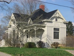
June 2008Thunderstorm WindUnion Vlg$40,000Several homes in the Country Estates neighborhood off of Cincinnati-Dayton Road sustained siding and minor chimney damage. A few fences were blown over. Numerous trees within the neighborhood were either downed or completely uprooted. An NWS storm survey determined that this damage was caused by straight-line winds estimated near 80 mph.
April 2011Thunderstorm WindLebanon$30,000A garage was damaged and a roof was partially torn off of a house due to damaging thunderstorm winds.
March 2008Flash FloodSouth Lebanon$30,000Voluntary evacuations due to high water in South Lebanon. One home was surrounded by water along Mason-Morrow-Millgrove Road just east of South Lebanon. Todds Fork came out of its bank in Morrow, forcing the closure of US Route 22/State Route 3 in town. Numerous other roads were flooded across the southern part of the county, particularly near Landen in Deerfield Township and in Harlan Township.
March 2025Thunderstorm WindCorwin$25,000A large barn collapsed.
June 2021Thunderstorm WindWellman$25,000Widespread tree damage occurred in the Massie Township Area, especially near Sherod Road and Harveysburg Road. One house had two windows blown in.

Mines and quarries

16 recorded

The Survey's mineral resources record lists 16 workings inside this county. 14 still produce and 2 are closed or unrecorded. Each settlement page carries the workings within five miles of it.

Commodity Workings
Sand and Gravel, Construction15
Stone, Crushed/Broken1

The least common of them first, because a county's hundredth gravel pit says nothing its first ten did not.

Where SiteCommodity StatusRecorded
Lytle Pit & MillStone, Crushed/BrokenPlant
Bailey PitSand and Gravel, ConstructionPast Producer
Clark Pit & MillSand and Gravel, ConstructionPlant
Dravo South Lebanon PlantSand and Gravel, ConstructionProducer
Embro Inc. PitSand and Gravel, ConstructionProducer
Freeze PitSand and Gravel, ConstructionPast Producer
Gentry PitSand and Gravel, ConstructionPlant
Mason Pit & MillSand and Gravel, ConstructionProducer
Michael PitSand and Gravel, ConstructionPlant
Morrow Gravel Plant No 1 Mill & PitSand and Gravel, ConstructionProducer
Morrow Plant & PitSand and Gravel, ConstructionProducer
Plant 9 Sand & Gravel/Moraine MatlSand and Gravel, ConstructionProducer
Turtlecreek PitSand and Gravel, ConstructionProducer
Watson PitSand and Gravel, ConstructionProducer
Waynesville Pit & MillSand and Gravel, ConstructionProducer
Wilson Site Pit & MillSand and Gravel, ConstructionPlant

Collected here, 1844 to 1975

8 of 4,112 shown

Museum specimens collected inside this county and catalogued with a date and a place: 4,112 of them, by kingdom 3,262 animalia, 690 fungi, 102 plantae, 40 protozoa, 16 unrecorded. Each is a physical object in a named collection, not a sighting. Held by USNM, CINC, YPM, OSUC, Ohio State University - Fish Division, Columbus, OH (OSUM), BPI among others, and each settlement page carries the specimens collected near it.

The oldest of them. A specimen proves something was collected on that day; its absence proves nothing.

Photograph YearSpecies KingdomWhere CollectorCatalogue
A photograph of the species Polyporus dryophilus, not of this specimen1844Polyporus dryophilus Berk.FungiWaynesvilleLea T. G.BPI BPI 207767
A photograph of the species Fomes applanatus, not of this specimen1850Fomes applanatus (Pers.) Fr.FungiLovelandJames D. L.BPI BPI 227528
A photograph of the species Lampsilis ovata, not of this specimen1862Lampsilis ovata (Say, 1817)AnimaliaLittle Miami Riv., Warren Co.Whiteaves, Joseph F.CMN CMNML 002340
A photograph of the species Ptychobranchus fasciolaris, not of this specimen1862Ptychobranchus fasciolaris (Rafinesque, 1820)AnimaliaLittle Miami Riv., Warren Co.Whiteaves, Joseph F.CMN CMNML 002339
A photograph of the species Eragrostis cilianensis, not of this specimen1877Eragrostis cilianensis (All.) Vignolo ex Janch.PlantaeLovelandJames, J.F.CM CM236209
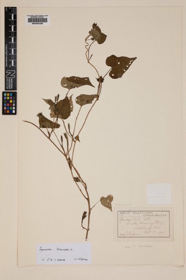
Specimen of Ipomoea lacunosa L.1877Ipomoea lacunosa L.PlantaeLovelandJoseph Francis JamesNHMUK BM000832299
A photograph of the species Polyporus hirsutus, not of this specimen1877Polyporus hirsutus (Wulfen) Fr.FungiLovelandJames D. L.BPI BPI 210824
A photograph of the species Rumex altissimus, not of this specimen1877Rumex altissimus WoodPlantaeLoveland.J. F. JamesNY 2407390

The townships, in 1882

70,124 words

The History of Warren County, Ohio devotes a chapter to each township: its boundaries and streams, who settled it and when, the mills, the schools and the churches. All 6 are reproduced here in full. Each row shows the township's own shape and where it lies in the county, drawn from the Census Bureau's boundary. Which settlements belong to which township is computed from that same boundary, not taken from the book.

The people it describes

4 named

Everyone The History of Warren County, Ohio stops to write about, with the section that describes them. Among them are the men who founded the place and governed the Territory. Each name opens the passage itself, in the words of 1882.

Every populated place in the county

71

Named settlements recorded in the Geographic Names Information System, each with the topographic sheets covering it. Villages, hamlets and abandoned places alike. Each is shown with the watercourse or landform it stands on and the survey quadrangle it falls on. The 5 places that were also surveyed for fire insurance come first, with the number of atlases and photographs held for them.

Recorded here

Lebanon, Ohio

15 topographic sheets and 8 fire insurance atlases, 1885 to 1941

Franklin, Ohio

13 topographic sheets and 7 fire insurance atlases, 1885 to 1940

Mason, Ohio

15 topographic sheets and 4 fire insurance atlases, 1898 to 1946

Morrow, Ohio

14 topographic sheets and 4 fire insurance atlases, 1895 to 1919

Waynesville, Ohio

13 topographic sheets and 4 fire insurance atlases, 1895 to 1925

Everything this county holds

The complete index, with nothing left out. Each of these is a separate record with its own page: a federal survey report, or the case file that argued a property on to the National Register. Both are public domain and reproduced word for word.

Surveyed structures

8 structures

Nomination case files

30 case files

The vanished settlements of Warren County, the places these records name that are no longer on the map.

Provenance

  • Topographic sheets. USGS Historical Topographic Map Collection, county index, measured from the bulk metadata.
  • Fire insurance maps. Library of Congress Sanborn collection, faceted to this county.
  • Photographs. Each place queried individually against the Library of Congress Prints and Photographs search.
  • Wildfire. Short, Karen C. 2022. Spatial wildfire occurrence data for the United States, 1992-2020 [FPA_FOD_20221014]. 6th Edition. Fort Collins, CO: Forest Service Research Data Archive. https://doi.org/10.2737/RDS-2013-0009.6 Collected with United States Government funding and usable without additional permissions or fees.
  • Specimens. Global Biodiversity Information Facility (GBIF), https://www.gbif.org/. Only records licensed CC0 or CC BY are used. Records licensed CC BY-NC are excluded because this site carries advertising. Images are checked individually and any whose licence is non-commercial, no-derivatives or unreadable is refused.
  • Mines and quarries. USGS Mineral Resources Data System (MRDS) https://mrdata.usgs.gov/mrds/ A work of the United States government, no copyright under 17 U.S.C. 105.
  • Storms. NOAA National Centers for Environmental Information, Storm Events Database https://www.ncei.noaa.gov/stormevents/ A work of the United States government, no copyright under 17 U.S.C. 105. Narratives are quoted verbatim from the National Weather Service report and are not edited or summarised.