 Block
Block
Waynesville, Ohio
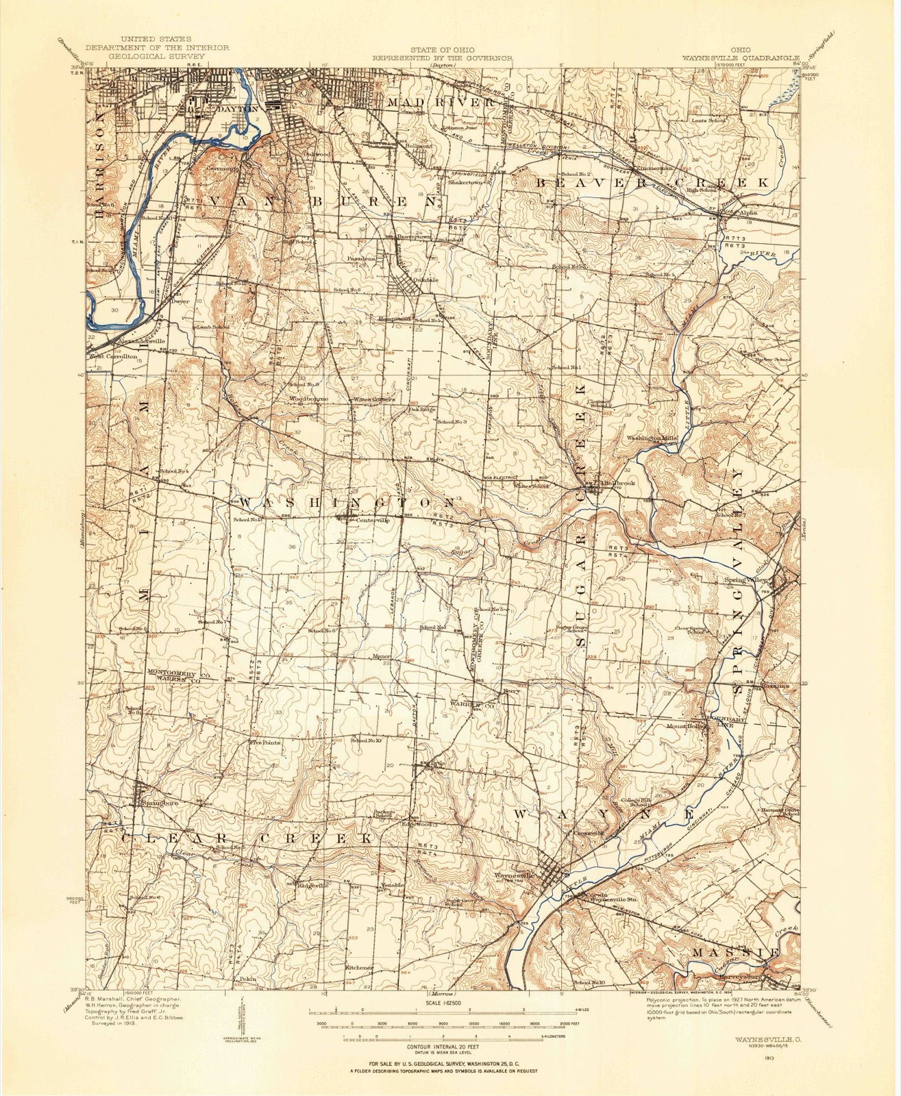
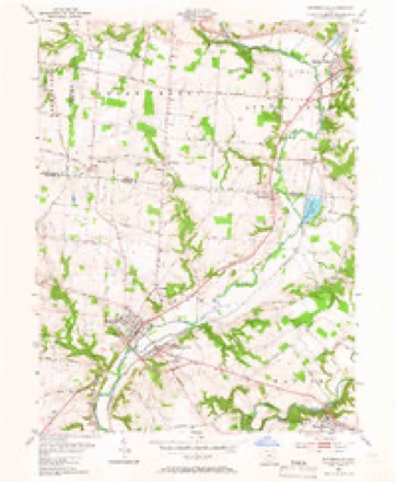
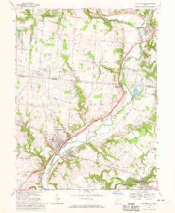
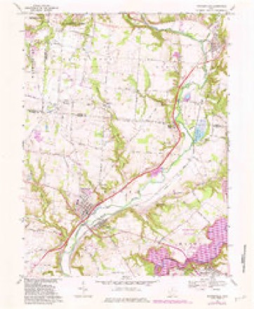
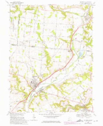
13 topographic sheets cover this place, the earliest surveyed in 1913 and the latest in 1986. It stands in Wayne Township. It lies in ZIP code area 45068. It stands on Satterthwaites Run. The Survey maps it on the Waynesville quadrangle.
Then and now
1913 to 1986The same ground, surveyed 73 years apart. Drag the handle to wipe between them. Both sheets are United States Geological Survey originals; neither has been altered.

Topographic sheets covering this place
13 sheetsMatched by testing this settlement's coordinate against the published boundary of every sheet in the United States Geological Survey's historical collection. Each opens the scanned sheet at the Survey.
- 1913 USGS Waynesville quadrangle1:62500
- 1915 USGS Waynesville quadrangle1:62500
- 1953 USGS Cincinnati quadrangle1:250000
- 1953 USGS Cincinnati quadrangle1:250000
- 1953 USGS Cincinnati quadrangle1:250000
- 1955 USGS Waynesville quadrangle1:24000
- 1955 USGS Waynesville quadrangle1:24000
- 1957 USGS Cincinnati quadrangle1:250000
- 1968 USGS Waynesville quadrangle1:24000
- 1968 USGS Waynesville quadrangle1:24000
- 1968 USGS Waynesville quadrangle1:24000
- 1986 USGS Dayton quadrangle1:100000
- 1986 USGS Dayton quadrangle1:100000






In the county-history sources
18,319 words on this townshipThe History of Warren County, Ohio, published 1882 names this settlement in its chapter on Wayne Township. These are the passages that mention it, exactly as the scans read.
Before 1819, the channel of the river on the road to Corwin was not as now, but where the bridge now is was in the bend of a horseshoe, the channel above and below the bridge having been made since. The crossing of the river was between High and Main streets, in Waynesville. When the water was high, there was a ferry used, and when low, a ford. About 1812, an effort was made to build a bridge at the ford. The abutments were raised and a superstructure was placed on trestles. A freshet in the river swept out the work and no further effort was made to build a bridge at that place. In 1817, a bridge was built on a contract, where the bridge now is, by John Satterthwaite, for $700, including the abutments. It was built of oak timber, principally hewed, never covered or weather-boarded, and only lasted about ten years. At that time, the road crossed the West Branch of the Miami, known as the race at the mouth and followed the north bank of the Miami to the bridge. The race wsa then a small stream, no bridge over it; the ford was a very bad crossing.
Passage source: The History of Warren County, Ohio, published 1882.
In 1803 a store was kept at the east angle of the crossing of High and Third streets by David Holloway. A few years after, Jacob Pierson kept a store there for some time. Shortly after, a store was kept at the north angle of the same crossing, and in 1810 by Seth Silvers. In 1808, David Brown built a house on Outlot No. 4, Waynesville, and kept a small store there; in 1806, David Pugh had a store on Main street; in 1810, on the same street, by
Passage source: The History of Warren County, Ohio, published 1882.
I deem it not improper here to give some of the early prices of lots and land. I find that after Faulkner got a patent for 208 acres (Waynesville), deeds were given, and the considerations therein mentioned, by David Faulkner, in 1807, as follows: Lots 8 in Miami square, 5 and 7 in Washington square, to Jonathan Newman for $32; Outlot No. 14, to Joel Wright for $8.16; Lots No. 5, 6 and 7, Miami Bqu#re, to Samuel Test, $87; Lots No. 6 and 8, Washington square, and 3, 4, 7, 8, Adams square, Outlot 7 and part of 8, to Seth Silver, for $122.04; to Zadock Street, Lots No. 1 and 3, in Washington square, $2.04; to Merrick Starr, Lots No. 2, 3, 4 and 6, President square, $2; to Rowland Richards, Outlot No. 13, $8; to David Linton, Out lots No. 5 and 6, $10; to David Holloway, Lot 5, Wabash square, Lot 1, Jefferson square, Outlots 12 and 17, $400.
Passage source: The History of Warren County, Ohio, published 1882.
Machine-read from a century-old scan, so expect the errors a machine makes: misspelled names, dropped words, stray characters.
Read the whole chapter on Wayne Township - it names this place 12 more 12 times.
Specimens collected near this place
12 of 3,065 shownRegional context, not property-specific evidence. Museums hold 3,065 specimens collected within 10 miles of Waynesville between 1844 and 1974: 2,956 Animalia, 51 Plantae, 45 Fungi, 11 Unrecorded, 2 Protozoa. 12 distinct Species records are shown. Collected by A. R. Gaufin, A.R. Gaufin, H.H. Ross, ANSEL JOHN and others. Each is a physical object with a catalogue number, and each entry opens the museum's record. This is what was collected and kept, not a survey of what lives here - nothing can be concluded from a species being absent.
| Image | Species | Year | Collected by | Where, as recorded |
|---|---|---|---|---|
 | Polyporus dryophilus Berk. | 1844 | Lea T. G. | Waynesville |
 | Lampsilis ovata (Say, 1817) | 1862 | Whiteaves, Joseph F. | Little Miami Riv., Warren Co. |
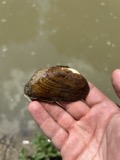 | Ptychobranchus fasciolaris (Rafinesque, 1820) | 1862 | Whiteaves, Joseph F. | Little Miami Riv., Warren Co. |
 | Actinonaias ligamentina (Lamarck, 1819) | 1879 | Whiteaves, Joseph F. | Little Miami Riv., Warren Co. |
 | Megalonaias gigantea (Barnes, 1823) | 1879 | Whiteaves, Joseph F. | Great Miami Riv. |
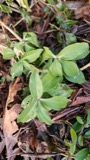 | Saponaria officinalis L. | 1881 | not recorded | Lebanon |
 | Achillea millefolium subsp. millefolium | 1884 | Bennett, F.G. | Lebanon |
 | Agrostemma githago L. | 1884 | Bennerht, F.G. | Lebanon |
 | Anthemis cotula L. | 1884 | Bennett, F.G. | [Lebanon] |
 | Asclepias syriaca L. | 1884 | Berrerlt, F.G. | near Lebanon |
 | Calystegia sepium (L.) R.Br. | 1884 | not recorded | Lebanon |
 | Campsis radicans (L.) Bureau | 1884 | Bennett, F.G. | Near Lebanon |
All 3,065 specimens within 10 miles, at the Global Biodiversity Information Facility.
Mines and quarries near this place
5 within 5 milesRegional context, not property-specific evidence. The federal mineral resources record lists 5 workings within 5 miles of Waynesville: 2 plants, 2 producers, 1 past producer. 4 still produce. What was taken out: Sand and Gravel, Construction, Stone, Crushed/Broken. Distance is straight-line from the map coordinates, so a quarry counted here may appear on a neighbouring settlement's page as well.
| Where | Site | Commodity | Status | Recorded |
|---|---|---|---|---|
| Lytle Pit & Mill | Stone, Crushed/Broken | Plant | ||
| Spring Valley Aggregates Pit | Sand and Gravel, Construction | Past Producer | Sedimentary | |
| Spring Valley Aggregates Pit | Sand and Gravel, Construction | Producer | ||
| Waynesville Pit & Mill | Sand and Gravel, Construction | Producer | ||
| Wilson Site Pit & Mill | Sand and Gravel, Construction | Plant |
Storms near this place
24 since 1994Regional context, not property-specific evidence. The National Weather Service names Waynesville in 24 storm reports between 1994 and 2011: 15 thunderstorm wind, 8 hail, 1 flash flood. No death or injury is recorded in these reports. Each account below is quoted exactly as the forecast office filed it, from the NOAA Storm Events Database, and each date opens the federal record of that event.
| When | Event | Place named | Harm | What the report says |
|---|---|---|---|---|
| June 1994 | Thunderstorm Wind | Waynesville | $50,000 | Trees were downed and a barn was destroyed. |
| July 1997 | Thunderstorm Wind | Waynesville | $15,000 | Roof blown off a building and numerous trees downed. |
| May 2009 | Hail | Waynesville | $10,000 | no account filed |
| June 2005 | Thunderstorm Wind | Waynesville | $6,000 | Power lines were downed, and a tree fell on a car in Hamilton Township. |
| May 2000 | Thunderstorm Wind | Waynesville | $5,000 | Trees knocked down. |
| July 1999 | Thunderstorm Wind | Waynesville | $5,000 | Trees and power lines downed. |
| May 1996 | Thunderstorm Wind | Waynesville | $5,000 | no account filed |
| April 2006 | Thunderstorm Wind | Waynesville | $3,000 | Trees were downed. |
| June 2006 | Thunderstorm Wind | Waynesville | $3,000 | Trees were downed. |
| June 2005 | Thunderstorm Wind | Waynesville | $3,000 | Two trees were downed on the west side of Caesar Creek State Park. Penny size hail also fell for a short period. |
| May 2004 | Thunderstorm Wind | Waynesville | $3,000 | Large limbs were downed along a park trail at Caesar Creek State Park. |
| August 2003 | Thunderstorm Wind | Waynesville | $3,000 | Trees and large limbs were knocked down. |
| September 2002 | Thunderstorm Wind | Waynesville | $3,000 | Numerous trees were blown down in the village. |
| June 2001 | Flash Flood | Waynesville | $3,000 | Roads closed and street flooding on West Clarksville Road |
| January 2008 | Thunderstorm Wind | Waynesville | $2,000 | A power pole was snapped in half along Lytle Road. |
| June 1999 | Thunderstorm Wind | Waynesville | $2,000 | Numerous trees were downed or uprooted. |
| June 2000 | Hail | Waynesville | - | Both quarter and dime size hail was reported. |
| June 2000 | Thunderstorm Wind | Waynesville | - | Estimated wind gusts. |
| April 1998 | Hail | Waynesville | - | A thunderstorm left a path of large hail across the northern part of the county. The hail accumulated several inches deep in spots. |
| June 2011 | Hail | Waynesville | - | no account filed |
| April 2006 | Hail | Waynesville | - | no account filed |
| May 2006 | Hail | Waynesville | - | no account filed |
| May 2001 | Hail | Waynesville | - | no account filed |
| May 1997 | Hail | Waynesville | - | no account filed |
Nearest settlements
The eight closest, with where each one stands in the county. Distances are straight-line, computed from the Geographic Names Information System coordinates.
| Map | Place | Distance | Sheets |
|---|---|---|---|
| Corwin | 0.5 miles | 13 | |
| Crosswick | 1.1 miles | 13 | |
| Edgewood (historical) | 2.9 miles | 13 | |
| Venable (historical) | 3.2 miles | 13 | |
| Lytle | 3.3 miles | 13 | |
| Mount Holly | 4.1 miles | 13 | |
| Kitchener (historical) | 4.2 miles | 13 | |
| Dodds | 4.3 miles | 15 |
Provenance
This settlement is recorded in the Geographic Names Information System as feature 1047634. The sheet list is computed by point-in-boundary test against the United States Geological Survey's historical topographic inventory. Both are works of the United States government and carry no copyright under 17 U.S.C. 105.
Specimens. Global Biodiversity Information Facility (GBIF), https://www.gbif.org/. Only records licensed CC0 or CC BY are used. Records licensed CC BY-NC are excluded because this site carries advertising. Images are checked individually and any whose licence is non-commercial, no-derivatives or unreadable is refused.
Mines and quarries. USGS Mineral Resources Data System (MRDS) https://mrdata.usgs.gov/mrds/ A work of the United States government, no copyright under 17 U.S.C. 105.
Storms. NOAA National Centers for Environmental Information, Storm Events Database https://www.ncei.noaa.gov/stormevents/ A work of the United States government, no copyright under 17 U.S.C. 105. Narratives are quoted verbatim from the National Weather Service report and are not edited or summarised.