 Block
Block
Mantua Corners, Ohio
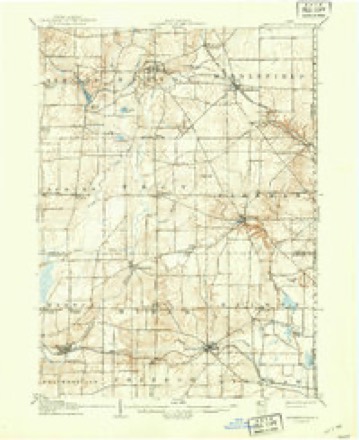
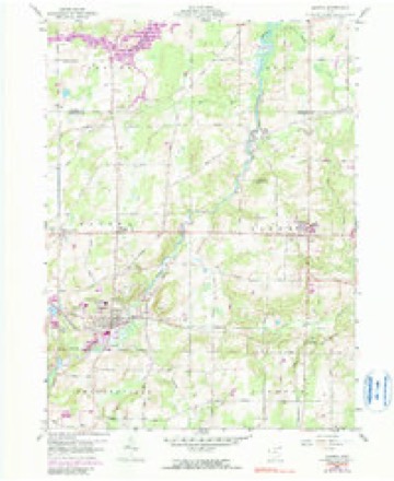
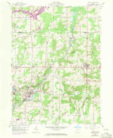
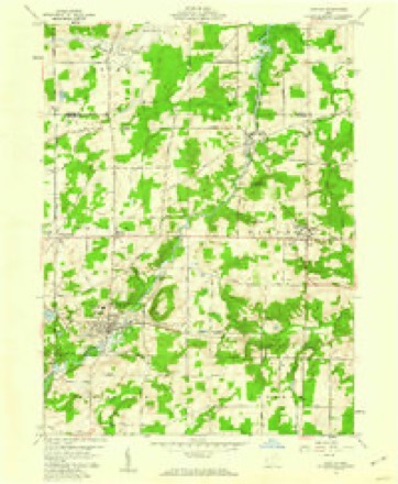
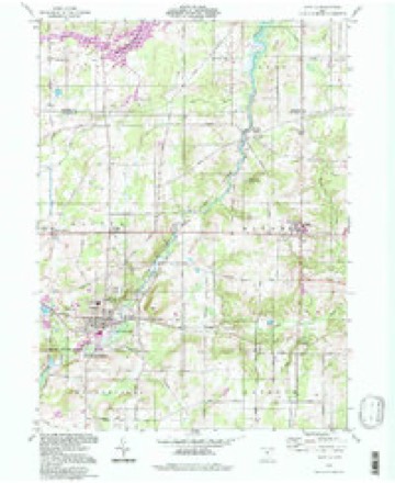
13 topographic sheets cover this place, the earliest surveyed in 1905 and the latest in 1994. It stands in Mantua Township. It lies in ZIP code area 44255. The Survey maps it on the Mantua quadrangle.
Then and now
1905 to 1994The same ground, surveyed 89 years apart. Drag the handle to wipe between them. Both sheets are United States Geological Survey originals; neither has been altered.
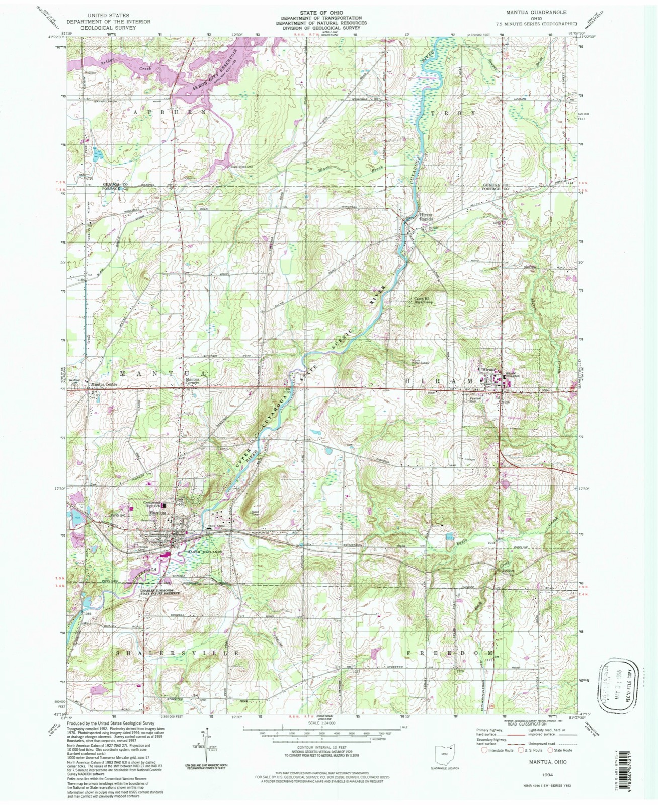
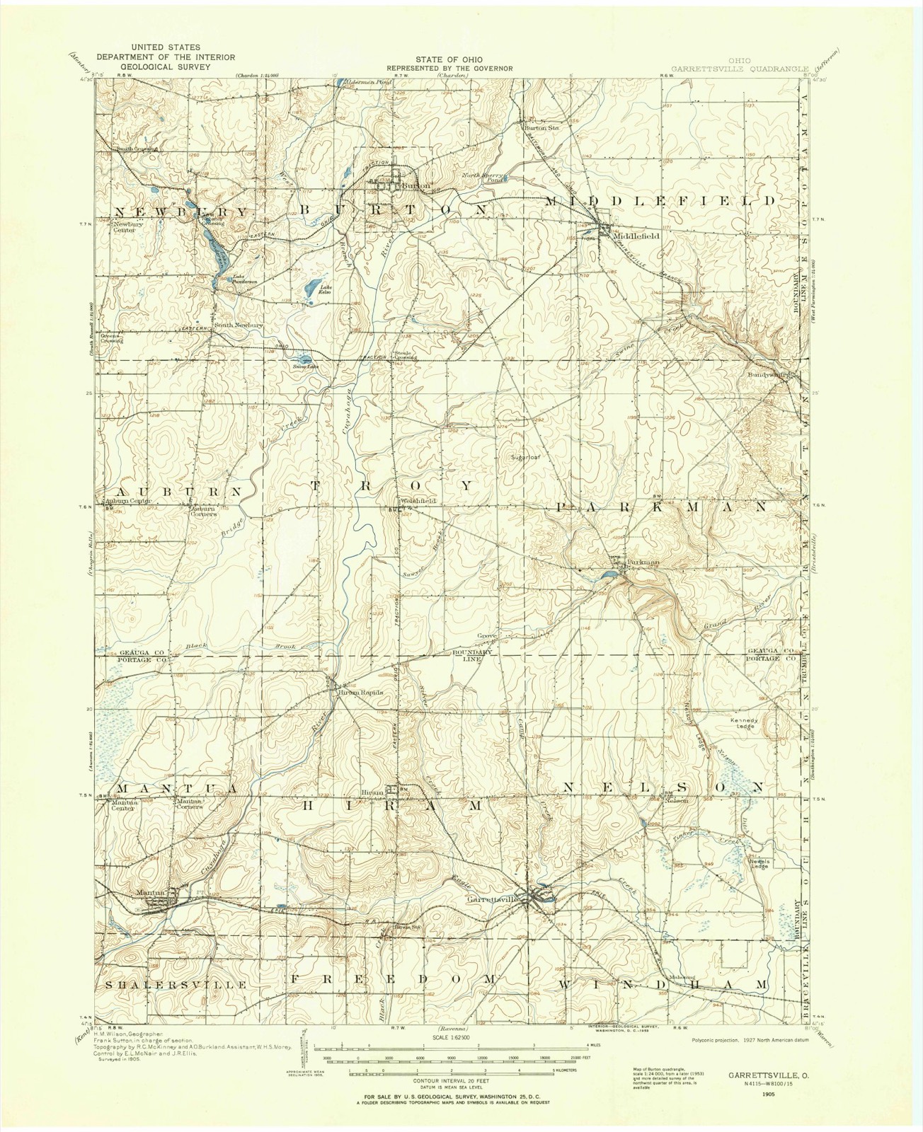
Compare 1905 against another survey:
Topographic sheets covering this place
13 sheetsMatched by testing this settlement's coordinate against the published boundary of every sheet in the United States Geological Survey's historical collection. Each opens the scanned sheet at the Survey.
- 1905 USGS Garrettsville quadrangle1:62500
- 1907 USGS Garrettsville quadrangle1:62500
- 1907 USGS Garrettsville quadrangle1:62500
- 1956 USGS Cleveland quadrangle1:250000
- 1956 USGS Cleveland quadrangle1:250000
- 1956 USGS Cleveland quadrangle1:250000
- 1959 USGS Mantua quadrangle1:24000
- 1959 USGS Mantua quadrangle1:24000
- 1959 USGS Mantua quadrangle1:24000
- 1962 USGS Cleveland quadrangle1:250000
- 1986 USGS Cleveland South quadrangle1:100000
- 1994 USGS Cleveland South quadrangle1:100000
- 1994 USGS Mantua quadrangle1:24000






What happened here
An account from the chapter on Mantua township, The inset identifies its exact source book and publication year.
Mantua T0Wk8Hip
Judson's first wife in 1804; Wareham Loomis' child, two years old, in 1805; Jacob Blnir, killed at a " raising" in 1807; Mark Moore died in 1812; Sanjuel Jodsoa's wife in 1813; Ichabod Payne in 1S13; Melissa Keed in 181G; Enoch Jndson's aeoond wife died in 1810; Amzi Atwater, son of ilmzi, Sr., in 1810; Caleb, son of Rnfus Edwarda, aboat 1817; Leona^N], son of L orouz ) Chapin, in 1818; wife of Basil Windsor, Sr., in 1818; Martha, ciau^'ht.
In the county-history sources
10,315 words on this townshipThe county-history sources names this settlement in its chapter on Mantua Township. These are the passages that mention it, exactly as the scans read.
Machine-read from a century-old scan, so expect the errors a machine makes: misspelled names, dropped words, stray characters.
Read the whole chapter on Mantua Township - it names this place 1 more 1 time.
Specimens collected near this place
12 of 625 shownRegional context, not property-specific evidence. Museums hold 625 specimens collected within 10 miles of Mantua Corners between 1884 and 1975: 501 Animalia, 117 Plantae, 4 Unrecorded, 3 Fungi. 12 distinct Species records are shown. Collected by A. D. Huryn, A. F. Clewell, A. Woolman and others. Each is a physical object with a catalogue number, and each entry opens the museum's record. This is what was collected and kept, not a survey of what lives here - nothing can be concluded from a species being absent.
| Image | Species | Year | Collected by | Where, as recorded |
|---|---|---|---|---|
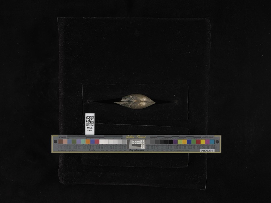 | Pyganodon grandis (Say, 1829) | 1884 | G. Dean | Garretsville |
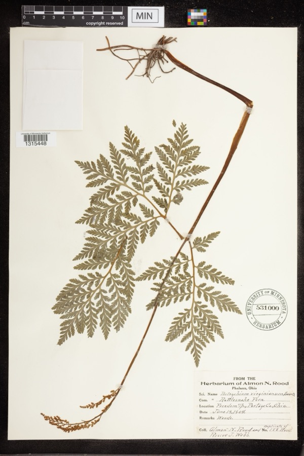 | Botrychium virginianum (L.) Sw. | 1904 | Rood, Almon N.; Roscoe J. Webb | Freedom Twp |
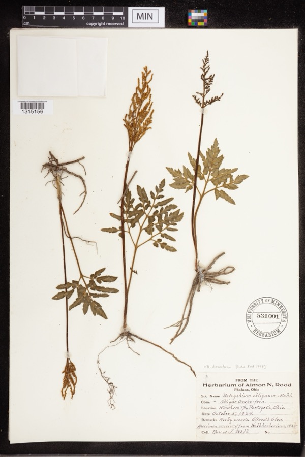 | Botrychium dissectum Spreng. | 1924 | Webb, Roscoe J. | Alford's Glen |
 | Ambloplites rupestris (Rafinesque, 1817) | 1893 | A. Woolman | Cuyahoga River, Mantau, Ohio |
 | Ambystoma maculatum (Shaw, 1802) | 1893 | not recorded | Garrettsville |
 | Catostomus commersonii (Lacepède, 1803) | 1893 | A. Woolman | Cuyahoga River, Mantau, Ohio |
 | Esox americanus vermiculatus Lesueur, 1846 | 1893 | A. Woolman | Cuyahoga River, Mantau, Ohio |
 | Etheostoma blennioides Rafinesque, 1819 | 1893 | A. Woolman | Cuyahoga River, Mantau, Ohio |
 | Notropis cornutus (Mitchill, 1817) | 1893 | A. Woolman | Cuyahoga River, Mantau, Ohio |
 | Rhinichthys atratulus (Hermann, 1804) | 1893 | A. Woolman | Cuyahoga River, Mantau, Ohio |
 | Semotilus atromaculatus (Mitchill, 1818) | 1893 | Woolman | Cuyahoga Lake, Mantua, Ohio |
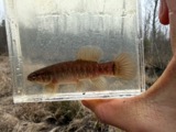 | Umbra limi (Kirtland, 1840) | 1893 | A. Woolman | Cuyahoga River, Mantau, Ohio |
All 625 specimens within 10 miles, at the Global Biodiversity Information Facility.
Mines and quarries near this place
10 of 19 shownRegional context, not property-specific evidence. The federal mineral resources record lists 19 workings within 5 miles of Mantua Corners: 11 past producers, 7 producers, 1 plant. 8 still produce. What was taken out: Sand and Gravel, Construction. Distance is straight-line from the map coordinates, so a quarry counted here may appear on a neighbouring settlement's page as well.
| Where | Site | Commodity | Status | Recorded |
|---|---|---|---|---|
| Beck Sand and Gravel Pit | Sand and Gravel, Construction | Past Producer | Sedimentary | |
| Haueter Pit | Sand and Gravel, Construction | Producer | ||
| Haueter Sand and Gravel Pit | Sand and Gravel, Construction | Past Producer | Sedimentary | |
| Lakeside Sand and Gravel Pit | Sand and Gravel, Construction | Producer | ||
| Lakeside Sand and Gravel Pit | Sand and Gravel, Construction | Past Producer | Sedimentary | |
| Lucky Pit | Sand and Gravel, Construction | Producer | ||
| Lucky Sand and Gravel Company Pit | Sand and Gravel, Construction | Past Producer | Sedimentary | |
| Miller Sand and Gravel Pit | Sand and Gravel, Construction | Past Producer | Sedimentary | |
| Miller Sand and Gravel Pit | Sand and Gravel, Construction | Producer | ||
| Oscar Brugmann Pit | Sand and Gravel, Construction | Past Producer | Sedimentary |
Storms near this place
2 since 2017Regional context, not property-specific evidence. The National Weather Service names Mantua Corners in 2 storm reports between 2017 and 2024: 1 flood, 1 thunderstorm wind. No death or injury is recorded in these reports. Each account below is quoted exactly as the forecast office filed it, from the NOAA Storm Events Database, and each date opens the federal record of that event.
| When | Event | Place named | Harm | What the report says |
|---|---|---|---|---|
| January 2017 | Flood | Mantua Corners | $5,000 | Numerous road closures occurred across Portage County after around 2 inches of rainfall fell on January 12th. This rainfall, on top of partially frozen ground cover, caused widespread flooding. The hardest hit communities were Mantua, Shalersville, Garrettsville, Palmyra, Nelson, Suffield, and Deerfield. Flooding in Streetsboro cut off about 24 apartments. There was one washed out road, Coit Rd. in Shalersville Township. |
| July 2024 | Thunderstorm Wind | Mantua Corners | - | Tree downed near Pioneer Trail and Peck Road in Mantua. |
Nearest settlements
The eight closest, with where each one stands in the county. Distances are straight-line, computed from the Geographic Names Information System coordinates.
| Map | Place | Distance | Sheets |
|---|---|---|---|
| Mantua Center | 1.3 miles | 13 | |
| Mantua | 1.8 miles | 13 | |
| Silo | 3.2 miles | 17 | |
| Hiram Rapids | 3.6 miles | 13 | |
| Hiram | 4.1 miles | 13 | |
| Evergreen Village | 4.6 miles | 15 | |
| Jeddoe | 4.7 miles | 13 | |
| Pine Manor | 4.8 miles | 14 |
Elsewhere
Matched on this settlement's Geographic Names Information System number rather than its name, so it cannot be a different place of the same name in another state.
| Wikidata item Q122597019 | The structured record the population and elevation above come from. Public domain (CC0). |
Provenance
This settlement is recorded in the Geographic Names Information System as feature 1042929. The sheet list is computed by point-in-boundary test against the United States Geological Survey's historical topographic inventory. Both are works of the United States government and carry no copyright under 17 U.S.C. 105.
Specimens. Global Biodiversity Information Facility (GBIF), https://www.gbif.org/. Only records licensed CC0 or CC BY are used. Records licensed CC BY-NC are excluded because this site carries advertising. Images are checked individually and any whose licence is non-commercial, no-derivatives or unreadable is refused.
Mines and quarries. USGS Mineral Resources Data System (MRDS) https://mrdata.usgs.gov/mrds/ A work of the United States government, no copyright under 17 U.S.C. 105.
Storms. NOAA National Centers for Environmental Information, Storm Events Database https://www.ncei.noaa.gov/stormevents/ A work of the United States government, no copyright under 17 U.S.C. 105. Narratives are quoted verbatim from the National Weather Service report and are not edited or summarised.