 Block
Block
Marlborough, Massachusetts
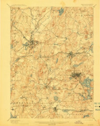
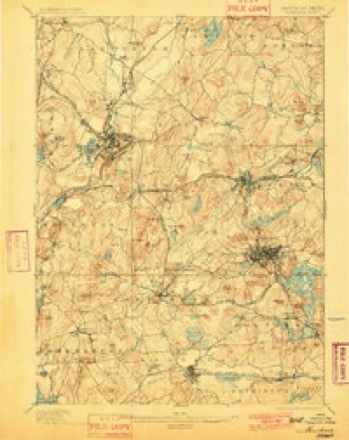
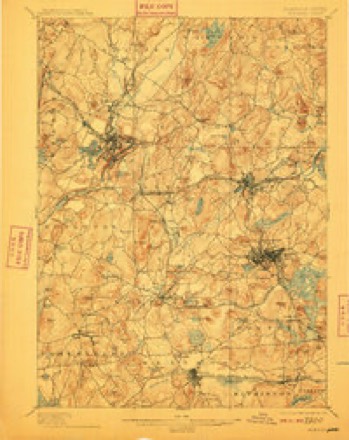
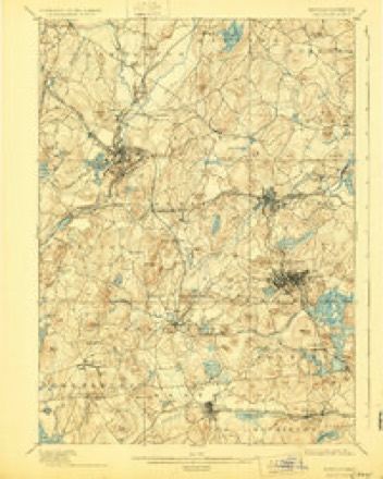
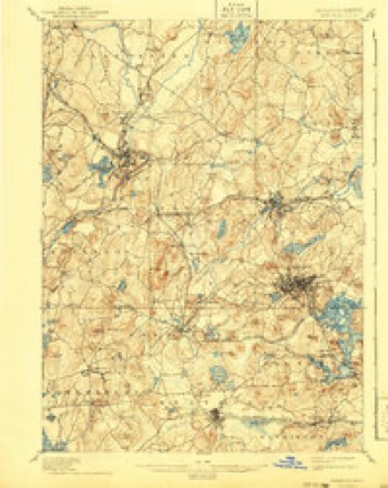
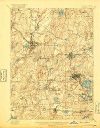
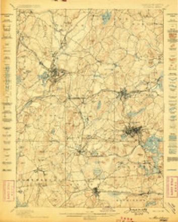
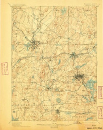
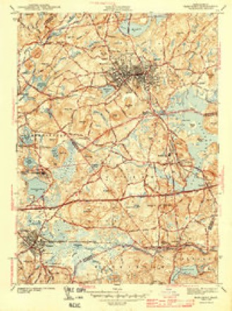
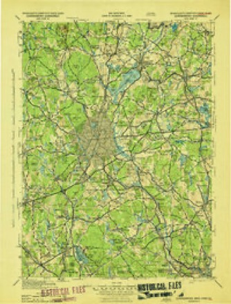
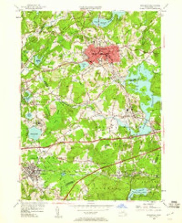
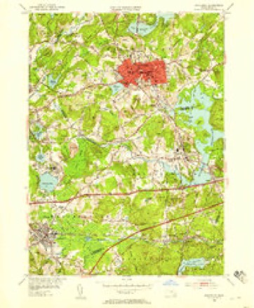
42 topographic sheets cover this place, the earliest surveyed in 1887 and the latest in 1989. It stands in Marlborough City. It lies in ZIP code area 01752. It stands on Fairmount Hill. The Survey maps it on the Marlborough quadrangle. 41,793 people lived here at the 2020 count. It stands 449 feet above sea level.
Population over time
4 figuresMarlborough grew from 13,805 to 41,793 between 1890 and 2020. These are the recorded population figures Wikidata holds for this place, reached through the Geographic Names Information System number this page is keyed on rather than by name, so they belong to this place and not to another of the same name. Most are census counts, but not all are: an early figure may be a founding or settlement estimate. The change column is computed, and is left blank where more than 20 years separate a figure from the one before it, because a gap that long is not a change between two counts.
| Year | People | Change |
|---|---|---|
| 1890 | 13,805 | |
| 1909 | 13,000 | -805 (-6%) |
| 2010 | 38,499 | |
| 2020 | 41,793 | +3,294 (+9%) |
Then and now
1887 to 1989The same ground, surveyed 102 years apart. Drag the handle to wipe between them. Both sheets are United States Geological Survey originals; neither has been altered.

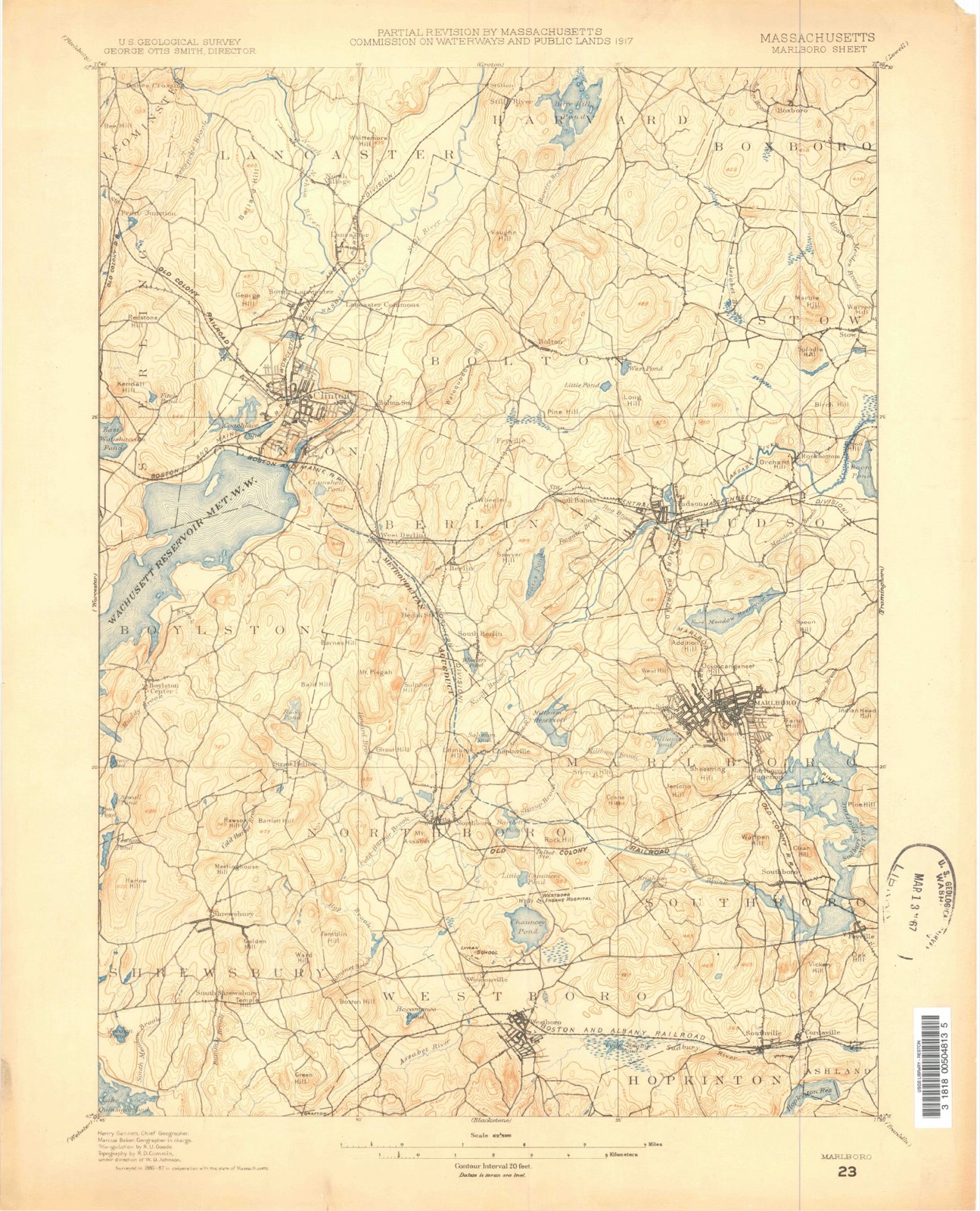
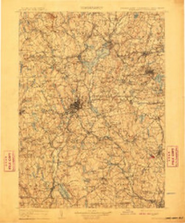
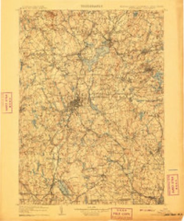
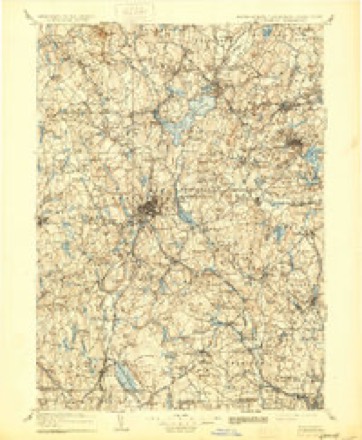
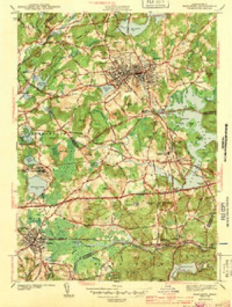
Topographic sheets covering this place
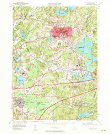
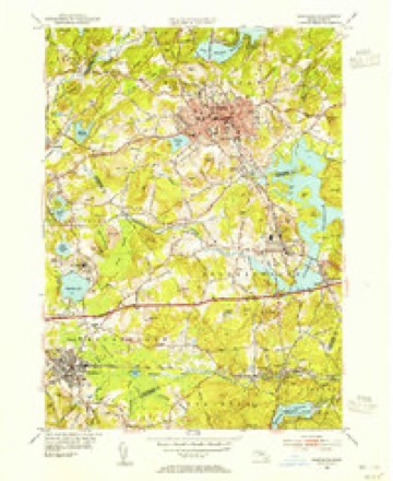
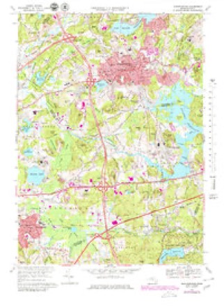
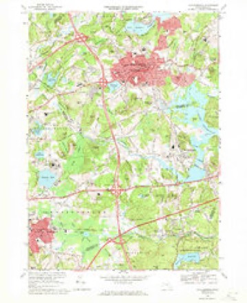
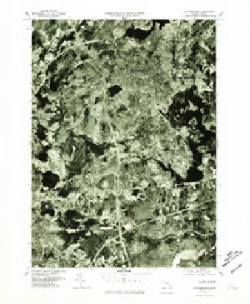
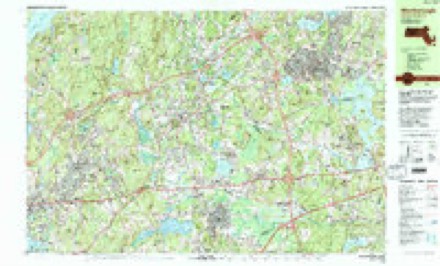
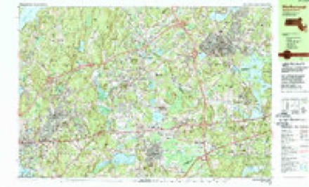
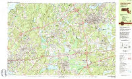
42 sheetsMatched by testing this settlement's coordinate against the published boundary of every sheet in the United States Geological Survey's historical collection. Each opens the scanned sheet at the Survey.
- 1887 USGS Marlboro quadrangle1:62500
- 1889 USGS Marlboro quadrangle1:62500
- 1896 USGS Marlboro quadrangle1:62500
- 1898 USGS Marlboro quadrangle1:62500
- 1898 USGS Marlboro quadrangle1:62500
- 1898 USGS Marlboro quadrangle1:62500
- 1898 USGS Marlboro quadrangle1:62500
- 1898 USGS Marlboro quadrangle1:62500
- 1898 USGS Marlboro quadrangle1:62500
- 1898 USGS Marlboro quadrangle1:62500
- 1898 USGS Marlboro quadrangle1:62500
- 1908 USGS Quinsigamond quadrangle1:125000
- 1908 USGS Quinsigamond quadrangle1:125000
- 1908 USGS Quinsigamond quadrangle1:125000
- 1943 USGS Marlboro quadrangle1:31680
- 1943 USGS Marlboro quadrangle1:31680
- 1943 USGS Quinsigamond quadrangle1:125000
- 1948 USGS Boston quadrangle1:250000
- 1948 USGS Boston quadrangle1:250000
- 1953 USGS Marlboro quadrangle1:24000
- 1953 USGS Marlboro quadrangle1:24000
- 1953 USGS Marlboro quadrangle1:24000
- 1953 USGS Marlboro quadrangle1:31680
- 1956 USGS Boston quadrangle1:250000
- 1956 USGS Boston quadrangle1:250000
- 1956 USGS Boston quadrangle1:250000
- 1956 USGS Boston quadrangle1:250000
- 1956 USGS Boston quadrangle1:250000
- 1956 USGS Boston quadrangle1:250000
- 1958 USGS Boston quadrangle1:250000
- 1958 USGS Boston quadrangle1:250000
- 1961 USGS Boston quadrangle1:250000
- 1961 USGS Boston quadrangle1:250000
- 1969 USGS Marlborough quadrangle1:25000
- 1969 USGS Marlborough quadrangle1:24000
- 1977 USGS Marlborough quadrangle1:25000
- 1983 USGS Marlborough quadrangle1:25000
- 1983 USGS Marlborough quadrangle1:25000
- 1983 USGS Marlborough quadrangle1:25000
- 1985 USGS Boston quadrangle1:100000
- 1989 USGS Boston quadrangle1:100000
- 1989 USGS Boston quadrangle1:100000















In the county-history sources
43,359 words on this townshipHistory of Middlesex County, Massachusetts : Containing Carefully Prepared Histories of Every City and Town in the County, published 1880 names this settlement in its chapter on Marlborough City. These are the passages that mention it, exactly as the scans read.
May 31 (0. S., June 12 as we now date), 1660, the town was incorporated under the name of Marlborow, it is supposed after the English town of that name, so called on account of the vicinity abounding in marl ; the word was formerly spelled ^farlberg or Marlbridge. Why it was chosen it is difficult, perhaps impossible, to say, though tiie most probable conjecture would be that some one or more of the early settlers hailed from Jlarlborough in Wiltshire. Its records for the first thirty-nine years are missing; those extant begin April 27, 1699. The first selectmen were Edmund Rice, William Ward, John Ruddocke, Jolin Howe, Thomas Khig, Solomon Johnson, Thomas Goodnow. John Ruddocke was chosen clerk. One of the earliest acts of the municipality was to order an assessment for six months for the support of Rev. William Brimsmead, their preacher, "of 4 pence jier acre npon house lots and 3 pence per pound ujion cattle." In 1662 the frame of a house and the land on which it stood were given to the minister. It was thirty-six feet by eighteen, and twelve and one half feet high between the joints. It had four windows in front and two at the west end. It had two gables in front, ten feet wide ami eight feet square, projecting eight feet, with two small windows on the front side of the gables. It was built by contract for £15, to be paid in corn : one third wheat, one third rye, and one third Indian corn; wheat at 4*. Qd., rye at 4*., and Indian com at 3-$. per bushel. In the payment of this sum, a rate was made of seven and a half pence ])er acre upon all house-lots in the plantation. This year they decided on erecting a meeting-house. Unfortunately the site chosen was within the Indian plantation. Although this land was subsequently bought, there seems to have been sufficient provocation given to the Indians to awaken the suspicion that it was afterwards burnt by them in revenge. Mr. Cyrus Felton says it is probable that at this time three fourths of the land within a mile of the meeting-house was covered with wood.
Passage source: History of Middlesex County, Massachusetts : Containing Carefully Prepared Histories of Every City and Town in the County, published 1880.
April 4, 1663, Anamaks, an Indian whose title was probably disputed by other Indian proprietors, sold to John Ruddocke and John Howe, for the use of the town, " the laud that the meeting-house now stands on - also the land for the highway on the fore side of said meeting house, and so upon a square of ten feet, round about the said meeting House." The next month William Ward gave in exchange for other land half an acre in front of it, and it was ordered that the half-acre " surrendered into the town's hands as before said, shall be for a perpetual common or highway not to be taken or otherwise disposed of without the consent of every proprietor that liath town riglits." This half-acre, it is thought, covered the ground on which the two manufactories hi front of the High School Common now stand.
Passage source: History of Middlesex County, Massachusetts : Containing Carefully Prepared Histories of Every City and Town in the County, published 1880.
For fifteen years there was fear throughout the township. Tlie Indian community consisted of about fifty persons. Their ruler's name was Onomog, who was described by a contemporary as a pious and discreet man. They had religious and civil institutions like their white neighbors; employed a schoolmaster, a constable, and other officers. They had brought their land under cultivation, and remained pacific under the vexatious encroachments of the English settlers ; although they were in 23art to blame for their annoyances, seeing they were careless in fencing their fields. Their town lying, as it did, in the heart of Marlborough, the cattle wandered into it, and could hardly be prevented by their owners. The Indians passively retired about a mile into the interior of their land. The celebrated General Gookin of Cambridge, from whose account our knowledge is derived, ])roposed to the English settlers to buy part of tliis land from which they had retired, fence it with stonewalls, and ou one part build a house for a schoolmaster, with a school-room under the same roof, erecting a barn, and giving the teacher as his salary the use of the rest of the land. He also says that at this time the English were backward iiIkhiI employing a schoolmaster, availing themselves of the law which exempted towns of less, than fifty families from being compelled to engage a teacher, although they wanted but a few families to make this number. He suggested that if the Indian school proposed were instituted they might send their children to it, " being the most thrifty and facile way they can take." This field was conveyed to General Gookin by the Indians May 2, 1677. The English town grew unchecked, though not rapidly. Unhappily during this time the community was agitated, indeed distracted, with internal dissensions about both civil and ecclesiastical affairs. They had to do, first, with the reliability of the records and indirectly with the tenure of their lauds ; secondly, with questions as to the support of the minister and the desirability of organizing a church. The public muid was apparently in a state of chronic irritability; to raise a question, was to raise a bitter dispute. Some light is thrown on this period from subsequent sentences in a petition and remonstrances to the General Court. The first explains that their difficulties are of long standing, arishig " partly from our own corruptions and the temptations of Satan, hindering their own good feelings in matters both civil and ecclesiastical, which have been and are very uncomfortable to them and their friends." Even this devout and frank statement proved an irritant, - a denial following that any considerable difficulty existed, and the declaration that they " never went about to destroy the Town Book but only to rectify what was amis in it " ; nor had they attempted " to root out the minister." They vaunted the fact, that, in personal character and liberality to religious and secular institutions, they were the equals of the jjetitioners, and cdiirluilcil \\ith the caustic statement, "We are willing, with our [)ersons and estates, to uphold the Authority of the country, and do therefore desire the liberty of the law which gives towns jrower to iransad their own affairs.'" The appeal to the General Court resulted (1675) hi the appointment of a committee which indorsed the records. The strife, however, was not allayed ; Thomas King and others demanded the reopening of the case. The war ensuing, the matter was not immediately pressed ; but in October, 1679, the quarrel was practically ended by the decisive action of a committee ap- ])()inted by the court to hear the complaints on the sjjot. They censured the turbulent opposition to the former decision, declared better provision shuuhl be iiiailc for llic iiiii:islei-, and u'ave orders as to the custody of the torni records, enjoining a full and veracious report of the proceedings and decisions of the committee who had arbitrated in the case. Their action was approved and confirmed by the court.
Passage source: History of Middlesex County, Massachusetts : Containing Carefully Prepared Histories of Every City and Town in the County, published 1880.
Machine-read from a century-old scan, so expect the errors a machine makes: misspelled names, dropped words, stray characters.
Read the whole chapter on Marlborough City - it names this place 85 more 85 times.
Fires near this place
137 since 2003Regional context, not property-specific evidence. The federal wildfire occurrence database lists 137 fires within 5 miles of Marlborough between 2003 and 2020, burning about 157 acres in total. 1 started naturally. 11 were recorded as arson. Distance is straight-line from the map coordinates, so a fire counted here may appear on a neighbouring settlement's page as well.
| Reported cause | Fires |
|---|---|
| Debris and open burning | 57 |
| Missing data/not specified/undetermined | 34 |
| Recreation and ceremony | 18 |
| Arson/incendiarism | 11 |
| Smoking | 7 |
| Power generation/transmission/distribution | 4 |
| Equipment and vehicle use | 2 |
| Misuse of fire by a minor | 2 |
| Natural | 1 |
| Fireworks | 1 |
The most recent of them, most recent first, with the day each was reported and the service that recorded it.
| Date | Cause | Size | Reported by | Name on the report |
|---|---|---|---|---|
| 7 September 2016 | Arson/incendiarism | under an acre | Massachusetts Bureau of Forest Fire Control | MARLBORO |
| 28 September 2019 | Debris and open burning | under an acre | Massachusetts Bureau of Forest Fire Control | not named |
| 23 September 2019 | Debris and open burning | under an acre | Massachusetts Bureau of Forest Fire Control | not named |
| 20 September 2020 | Missing data/not specified/undetermined | under an acre | Massachusetts Bureau of Forest Fire Control | not named |
| 20 September 2020 | Missing data/not specified/undetermined | under an acre | Massachusetts Bureau of Forest Fire Control | not named |
| 16 September 2020 | Arson/incendiarism | under an acre | Massachusetts Bureau of Forest Fire Control | not named |
| 14 September 2016 | Recreation and ceremony | 1.0 acres | Massachusetts Bureau of Forest Fire Control | not named |
| 12 September 2016 | Recreation and ceremony | 1.0 acres | Massachusetts Bureau of Forest Fire Control | not named |
Settlements close enough to share some of these fires:
Specimens collected near this place
12 of 397 shownRegional context, not property-specific evidence. Museums hold 397 specimens collected within 10 miles of Marlborough between 1898 and 1975: 235 Animalia, 142 Plantae, 19 Fungi, 1 Chromista. 12 distinct Species records are shown. Collected by A. B. Seymour, A. F. Newton, A. Strong and others. Each is a physical object with a catalogue number, and each entry opens the museum's record. This is what was collected and kept, not a survey of what lives here - nothing can be concluded from a species being absent.
| Image | Species | Year | Collected by | Where, as recorded |
|---|---|---|---|---|
 | Corvus brachyrhynchos brachyrhynchos C.L.Brehm, 1822 | 1900 | not recorded | Wayland |
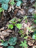 | Actaea pachypoda Elliott | 1898 | Ernest Charles Smith | |
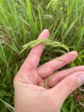 | Bromus ciliatus L. | 1898 | Ernest Charles Smith | Framingham. |
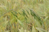 | Bromus secalinus L. | 1898 | Arthur French | Framingham. |
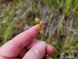 | Carex brevior (Dewey) Mack. ex Lunell | 1898 | Ernest Charles Smith | Framingham. |
 | Carex laxiflora Lam. | 1898 | Ernest Charles Smith | Framingham. |
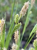 | Carex pallescens L. | 1898 | Ernest Charles Smith | Framingham. |
 | Carex straminea Willd. ex Schkuhr | 1898 | Ernest Charles Smith | Framingham. |
 | Carex vulgaris var. hydrophila Holm | 1898 | Arthur French | Framingham. |
 | Dichanthelium sabulorum var. patulum (Scribn. & Merr.) Gould & C.A.Clark | 1898 | Ernest Charles Smith | Framingham. |
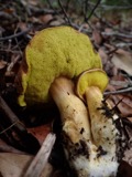 | Boletus auriporus Peck | 1900 | G. E. Morris | |
 | Boletus rubropunctus Peck | 1900 | G. E. Morris |
All 397 specimens within 10 miles, at the Global Biodiversity Information Facility.
Mines and quarries near this place
10 of 15 shownRegional context, not property-specific evidence. The federal mineral resources record lists 15 workings within 5 miles of Marlborough: 10 past producers, 4 producers, 1 unknown. 4 still produce. What was taken out: Sand and Gravel, Construction, Stone, Dimension, Stone, Crushed/Broken. Distance is straight-line from the map coordinates, so a quarry counted here may appear on a neighbouring settlement's page as well.
| Where | Site | Commodity | Status | Recorded |
|---|---|---|---|---|
| Berlin Stone Co Quarry | Stone, Dimension | Producer | ||
| Gneiss Quarry | Stone, Crushed/Broken | Past Producer | ||
| Berin Pit | Sand and Gravel, Construction | Past Producer | ||
| Berlin Town Pit | Sand and Gravel, Construction | Past Producer | Sedimentary | |
| C and M Enterprises | Sand and Gravel, Construction | Past Producer | Sedimentary | |
| Casaceli Trucking | Sand and Gravel, Construction | Past Producer | Sedimentary | |
| Casaceli Trucking Pit | Sand and Gravel, Construction | Past Producer | ||
| E L Dauphanis Inc | Sand and Gravel, Construction | Past Producer | Sedimentary | |
| E. L. Dauphinais, Incorporated | Sand and Gravel, Construction | Producer | ||
| Haynes Pit | Sand and Gravel, Construction | Past Producer |
Storms near this place
26 since 2001Regional context, not property-specific evidence. The National Weather Service names Marlborough in 26 storm reports between 2001 and 2024: 13 thunderstorm wind, 6 lightning, 5 hail, 2 flood. The reports record 1 injury. Each account below is quoted exactly as the forecast office filed it, from the NOAA Storm Events Database, and each date opens the federal record of that event.
| When | Event | Place named | Harm | What the report says |
|---|---|---|---|---|
| January 2008 | Lightning | Marlborough | 1 hurt, $10,000 | A restaurant in Marlboro was struck by lightning, starting a fire. The fire was contained to the roof but damages were enough that the restaurant was shut down. One of the restaurant patrons reported being struck by the lightning bolt and was taken by ambulance to the local hospital. No additional information was available about the victim. |
| June 2001 | Lightning | Marlborough | $400,000 | no account filed |
| July 2008 | Lightning | Marlborough | $130,000 | Lightning struck the attic of a house on Barnard Road, causing a two-alarm fire. The house was damaged but no one was injured. |
| July 2006 | Lightning | Marlborough | $59,000 | no account filed |
| August 2016 | Thunderstorm Wind | Marlborough | $30,000 | Multiple trees and wires were downed by thunderstorm winds, including on Curtis Avenue, Maple Street, Church Street, Framingham Road, and Dartmouth Road. |
| June 2008 | Thunderstorm Wind | Marlborough | $20,000 | Several utility poles were downed by thunderstorm winds, blocking Route 20. |
| August 2015 | Thunderstorm Wind | Marlborough | $10,000 | Trees and wires on Greenwood Street were downed by thunderstorm winds. |
| July 2006 | Thunderstorm Wind | Marlborough | $10,000 | no account filed |
| May 2002 | Lightning | Marlborough | $10,000 | no account filed |
| July 2018 | Thunderstorm Wind | Marlborough | $5,000 | At 2 AM EST, multiple trees were reported down at the Marlborough Country Club in Marlborough. Most of the damage was at the 16th and 17th holes. |
| August 2016 | Thunderstorm Wind | Marlborough | $5,000 | A tree and wires on Walker Street were downed by thunderstorm winds. |
| July 2009 | Lightning | Marlborough | $5,000 | Lightning struck an apartment building on Christie Way, setting one third flood apartment on fire. The fire damaged a natural gas line which forced the evacuation of 26 apartments. The damage was repaired and residents were allowed back into their apartments two days later. |
| August 2008 | Thunderstorm Wind | Marlborough | $5,000 | Trees and wires across Marlborough were downed by thunderstorm winds. |
| August 2005 | Thunderstorm Wind | Marlborough | $5,000 | no account filed |
| August 2022 | Thunderstorm Wind | Marlborough | $3,500 | In Marlborough, a couple of trees, several branches, and a couple of tents were blown down at 181 Boston Post Road West. Also a large tree was down on Fahey Street. Time estimated by radar. |
| July 2022 | Thunderstorm Wind | Marlborough | $800 | In Marlboro, a tree was down on power lines on State Street, per the fire department. |Report relayed by amateur radio. |
| August 2024 | Thunderstorm Wind | Marlborough | $500 | In Marlborough, a tree was down with a utility pole split in half on Farm Rd. |
| August 2023 | Flood | Marlborough | - | In Marlborough, Glen St and Ripley Ave were flooded. |
| September 2019 | Flood | Marlborough | - | In Marlborough, Prospect Street at Main Street was flooded. |
| July 2008 | Hail | Marlborough | - | Penny size hail fell on Route 85. |
| August 2008 | Hail | Marlborough | - | Penny to quarter sized hail fell in Marlborough. |
| August 2008 | Hail | Marlborough | - | no account filed |
| August 2004 | Hail | Marlborough | - | no account filed |
| May 2002 | Hail | Marlborough | - | no account filed |
| June 2001 | Thunderstorm Wind | Marlborough | - | no account filed |
| July 2001 | Thunderstorm Wind | Marlborough | - | no account filed |
Nearest settlements
The eight closest, with where each one stands in the county. Distances are straight-line, computed from the Geographic Names Information System coordinates.
| Map | Place | Distance | Sheets |
|---|---|---|---|
| Marlborough Junction | 1.2 miles | 42 | |
| Robin Hill | 2.5 miles | 42 | |
| Hudson | 3.2 miles | 43 | |
| Gleasondale Station | 3.8 miles | 43 | |
| Browns Corner | 4.3 miles | 43 | |
| Gleasondale | 4.4 miles | 43 | |
| Nobscot | 6.2 miles | 40 | |
| Pine Lake | 6.3 miles | 43 |
Elsewhere
Matched on this settlement's Geographic Names Information System number rather than its name, so it cannot be a different place of the same name in another state.
| Wikipedia article on Marlborough | An encyclopaedic summary. Its text is share-alike, so it is linked here rather than copied. |
| Wikidata item Q54189 | The structured record the population and elevation above come from. Public domain (CC0). |
Provenance
This settlement is recorded in the Geographic Names Information System as feature 611360. The sheet list is computed by point-in-boundary test against the United States Geological Survey's historical topographic inventory. Both are works of the United States government and carry no copyright under 17 U.S.C. 105.
Wildfire. Short, Karen C. 2022. Spatial wildfire occurrence data for the United States, 1992-2020 [FPA_FOD_20221014]. 6th Edition. Fort Collins, CO: Forest Service Research Data Archive. https://doi.org/10.2737/RDS-2013-0009.6 Collected with United States Government funding and usable without additional permissions or fees.
Specimens. Global Biodiversity Information Facility (GBIF), https://www.gbif.org/. Only records licensed CC0 or CC BY are used. Records licensed CC BY-NC are excluded because this site carries advertising. Images are checked individually and any whose licence is non-commercial, no-derivatives or unreadable is refused.
Mines and quarries. USGS Mineral Resources Data System (MRDS) https://mrdata.usgs.gov/mrds/ A work of the United States government, no copyright under 17 U.S.C. 105.
Storms. NOAA National Centers for Environmental Information, Storm Events Database https://www.ncei.noaa.gov/stormevents/ A work of the United States government, no copyright under 17 U.S.C. 105. Narratives are quoted verbatim from the National Weather Service report and are not edited or summarised.