 Block
Block
Maynard, Massachusetts
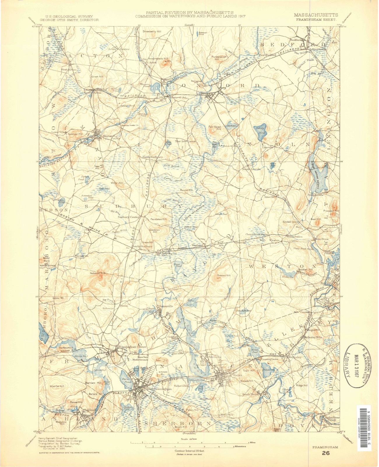
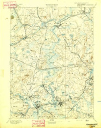
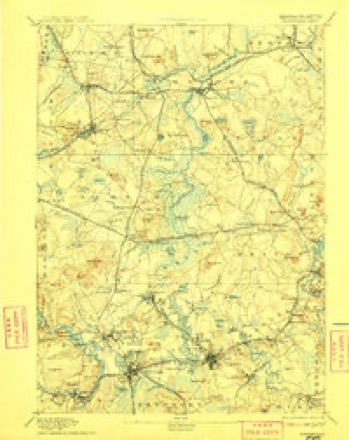
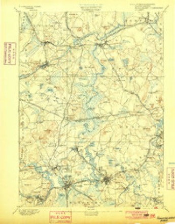
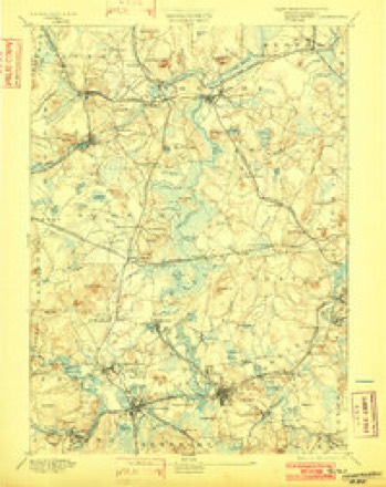
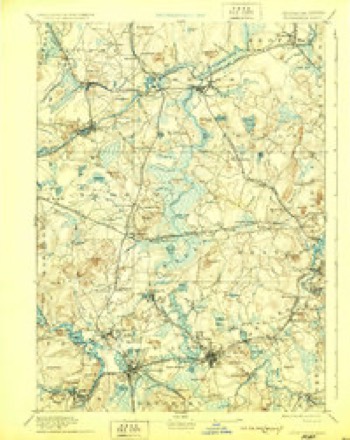
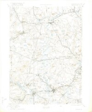
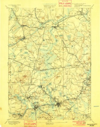
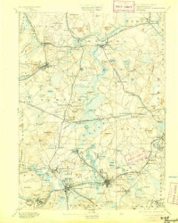
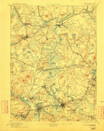
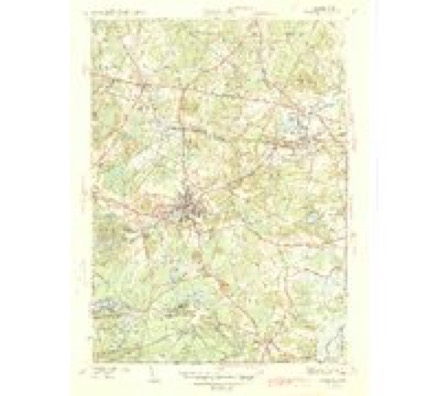
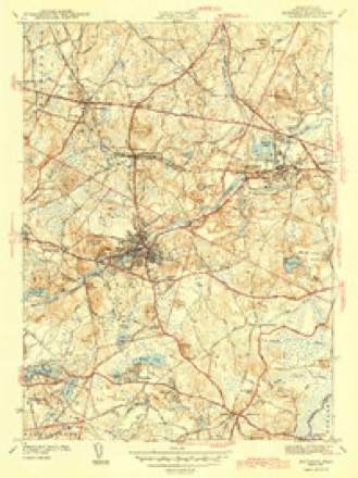
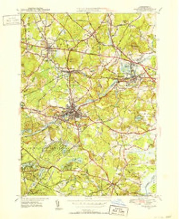
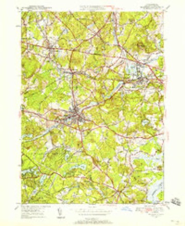
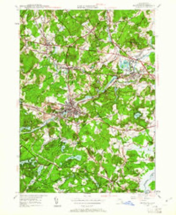
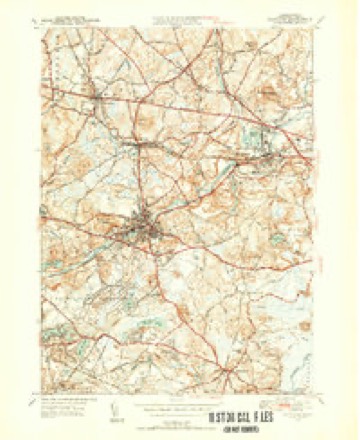
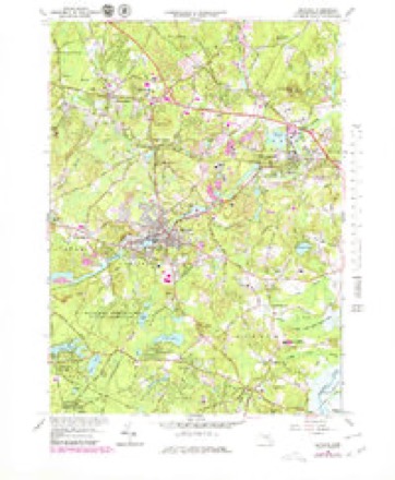
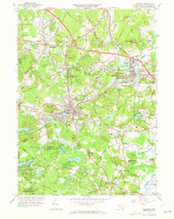
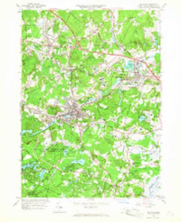
43 topographic sheets cover this place, the earliest surveyed in 1886 and the latest in 1989. It stands in Maynard town. It lies in ZIP code area 01754. It stands on Summer Hill. The Survey maps it on the Maynard quadrangle.
Then and now
1886 to 1989The same ground, surveyed 103 years apart. Drag the handle to wipe between them. Both sheets are United States Geological Survey originals; neither has been altered.

Topographic sheets covering this place
43 sheetsMatched by testing this settlement's coordinate against the published boundary of every sheet in the United States Geological Survey's historical collection. Each opens the scanned sheet at the Survey.
- 1886 USGS Framingham quadrangle1:62500
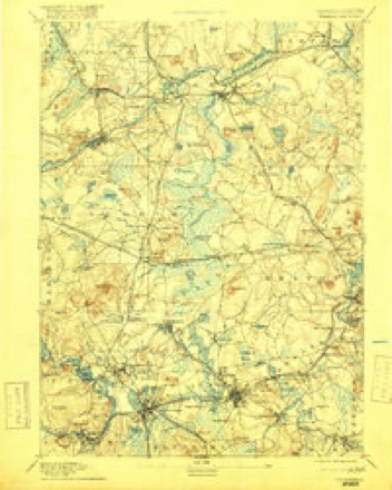
- 1889 USGS Framingham quadrangle1:62500
- 1894 USGS Framingham quadrangle1:62500
- 1894 USGS Framingham quadrangle1:62500
- 1894 USGS Framingham quadrangle1:62500
- 1894 USGS Framingham quadrangle1:62500
- 1894 USGS Framingham quadrangle1:62500
- 1894 USGS Framingham quadrangle1:62500
- 1894 USGS Framingham quadrangle1:62500
- 1894 USGS Framingham quadrangle1:62500
- 1894 USGS Framingham quadrangle1:62500
- 1894 USGS Framingham quadrangle1:62500
- 1894 USGS Framingham quadrangle1:62500
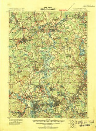
- 1918 USGS Framingham quadrangle1:62500
- 1918 USGS Framingham quadrangle1:62500
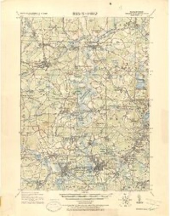
- 1943 USGS Boston quadrangle1:125000
- 1943 USGS Maynard quadrangle1:31680
- 1943 USGS Maynard quadrangle1:31680
- 1948 USGS Boston quadrangle1:250000
- 1948 USGS Boston quadrangle1:250000
- 1950 USGS Maynard quadrangle1:31680
- 1950 USGS Maynard quadrangle1:24000
- 1950 USGS Maynard quadrangle1:24000
- 1950 USGS Maynard quadrangle1:31680
- 1956 USGS Boston quadrangle1:250000
- 1956 USGS Boston quadrangle1:250000
- 1956 USGS Boston quadrangle1:250000
- 1956 USGS Boston quadrangle1:250000
- 1956 USGS Boston quadrangle1:250000
- 1956 USGS Boston quadrangle1:250000
- 1958 USGS Boston quadrangle1:250000
- 1958 USGS Boston quadrangle1:250000
- 1961 USGS Boston quadrangle1:250000
- 1961 USGS Boston quadrangle1:250000
- 1965 USGS Maynard quadrangle1:25000
- 1965 USGS Maynard quadrangle1:24000
- 1965 USGS Maynard quadrangle1:24000
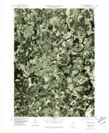
- 1977 USGS Maynard quadrangle1:25000
- 1985 USGS Boston quadrangle1:100000
- 1987 USGS Maynard quadrangle1:25000
- 1987 USGS Maynard quadrangle1:25000
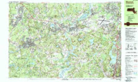
- 1989 USGS Boston quadrangle1:100000
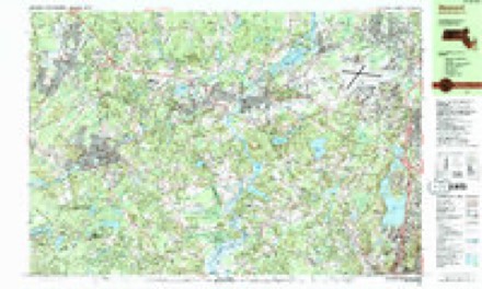
- 1989 USGS Boston quadrangle1:100000
















In the county-history sources
5,258 words on this townshipHistory of Middlesex County, Massachusetts : Containing Carefully Prepared Histories of Every City and Town in the County, published 1880 names this settlement in its chapter on Maynard Town. These are the passages that mention it, exactly as the scans read.
Maynard is a small, new town, having been incorporated April 19, 1871, and named in honor of Amory Maynard, Esq., formerly of Marlborough, through whose untiring energy and sagacity the industries of the town have been developed. Of the territory, some 1,300 acres were taken from'tlie town of Stow, and included Pompsiticut Hill, and other good farming lands, devoted to orchards, tillage, and pasturage. Some 1,900 acres were taken from the northwesterly part of Sudbury, and included some good farming lands, but were to a great extent woodland, baving some of the largest growth of wood and timber to be found in Massachusetts. By an arrangement the town of Maynard agreed to pay to the town of Stow the sum of 36,500 as a compensation, and to the town of Sudbury the sum of $2ii,.500; the town of Sudbury to assign to the town of Maynard one hundred and four shares of their Framingham and Lowell railroad stock ; the town of Maynard was also to pay to the town of Sudbury the sum of three hundred dollars per year, for ten years, towards the support of their paupers, and one third part of all costs and expenses for the support of military pau])ers.
Passage source: History of Middlesex County, Massachusetts : Containing Carefully Prepared Histories of Every City and Town in the County, published 1880.
Very little is known of tlie first settlers of Maynard. Some of the lands now held by Jonathan E. Vose were conveyed by Benjamin Crane of Stow to Joseph Eice of Marlborough in 1685, and arc described as follows : " Six Stone and five acres of land that he purchased of John Woods, sen'', and .lohn Eutter, sen', and is bounded northward and westward with the land of Thomas Wedge, southward with the land of Solomon Johnson, Jun^ eastward with a highway thirty rods wide running between the squadron of lots, in the New Grants, of Sudbury, aforesaid. To have and to hold, the said tract of land six stone and five acres (be the same more or less) with the house thereon erected, and all the fences, belonging to the said tract of land and all timber and firewood and the orchard thereon, with all the conveniency of water thereon, wjiether of Pond or Brook and all profit and advantage." The family of Rices were long lived, and it is found that Jonathan Rice and Jonathan Rice, Jr., kept an inn at this place for about one hundred years.
Passage source: History of Middlesex County, Massachusetts : Containing Carefully Prepared Histories of Every City and Town in the County, published 1880.
Other of the earlier settlers of Maynard were Hezekiah Taylor, John Taylor, Thomas Smith, Amos Smith, William Skinner, William Carly, Zachariah Maynard, and John Brigham, and some of the settlers on the Stow side, of the river may be found in the proceedings of the proprietors at their meeting held May 19, 1719, when, as appears from Stow Old Proprietors' Book, a selection of lands was made, as follows : -
Passage source: History of Middlesex County, Massachusetts : Containing Carefully Prepared Histories of Every City and Town in the County, published 1880.
Machine-read from a century-old scan, so expect the errors a machine makes: misspelled names, dropped words, stray characters.
Read the whole chapter on Maynard Town - it names this place 8 more 8 times.
Fires near this place
58 since 1997Regional context, not property-specific evidence. The federal wildfire occurrence database lists 58 fires within 5 miles of Maynard between 1997 and 2020, burning about 69 acres in total. None started naturally. 6 were recorded as arson. Distance is straight-line from the map coordinates, so a fire counted here may appear on a neighbouring settlement's page as well.
| Reported cause | Fires |
|---|---|
| Debris and open burning | 33 |
| Arson/incendiarism | 6 |
| Missing data/not specified/undetermined | 6 |
| Power generation/transmission/distribution | 5 |
| Railroad operations and maintenance | 3 |
| Smoking | 2 |
| Recreation and ceremony | 2 |
| Fireworks | 1 |
The most recent of them, most recent first, with the day each was reported and the service that recorded it.
| Date | Cause | Size | Reported by | Name on the report |
|---|---|---|---|---|
| 5 September 2020 | Power generation/transmission/distribution | under an acre | Massachusetts Bureau of Forest Fire Control | not named |
| 16 September 2020 | Debris and open burning | under an acre | Massachusetts Bureau of Forest Fire Control | not named |
| 3 August 2020 | Debris and open burning | under an acre | Massachusetts Bureau of Forest Fire Control | not named |
| 28 August 2017 | Fireworks | under an acre | Massachusetts Bureau of Forest Fire Control | HUDSON |
| 27 August 2017 | Missing data/not specified/undetermined | under an acre | Massachusetts Bureau of Forest Fire Control | HUDSON |
| 26 August 2020 | Debris and open burning | under an acre | Massachusetts Bureau of Forest Fire Control | not named |
| 24 August 2018 | Debris and open burning | under an acre | Massachusetts Bureau of Forest Fire Control | not named |
| 21 August 2018 | Debris and open burning | under an acre | Massachusetts Bureau of Forest Fire Control | not named |
Settlements close enough to share some of these fires:
Specimens collected near this place
12 of 754 shownRegional context, not property-specific evidence. Museums hold 754 specimens collected within 10 miles of Maynard between 1898 and 1975: 462 Animalia, 213 Plantae, 74 Fungi, 2 Chromista, 2 Protozoa, 1 Unrecorded. 12 distinct Species records are shown. Collected by A. B. Seymour, A. B. Seymour & M. D. Feigley, A. C. Gibson and others. Each is a physical object with a catalogue number, and each entry opens the museum's record. This is what was collected and kept, not a survey of what lives here - nothing can be concluded from a species being absent.
| Image | Species | Year | Collected by | Where, as recorded |
|---|---|---|---|---|
 | Corvus brachyrhynchos brachyrhynchos C.L.Brehm, 1822 | 1900 | not recorded | Wayland |
 | Boletus griseus Frost | 1898 | H. Webster | |
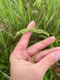 | Bromus ciliatus L. | 1898 | Ernest Charles Smith | Framingham. |
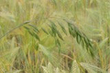 | Bromus secalinus L. | 1898 | Arthur French | Framingham. |
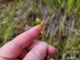 | Carex brevior (Dewey) Mack. ex Lunell | 1898 | Ernest Charles Smith | Framingham. |
 | Carex laxiflora Lam. | 1898 | Ernest Charles Smith | Framingham. |
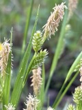 | Carex pallescens L. | 1898 | Ernest Charles Smith | Framingham. |
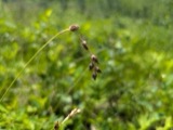 | Carex straminea Willd. ex Schkuhr | 1898 | Ernest Charles Smith | Framingham. |
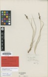 | Carex vulgaris var. hydrophila Holm | 1898 | Arthur French | Framingham. |
 | Dichanthelium sabulorum var. patulum (Scribn. & Merr.) Gould & C.A.Clark | 1898 | Ernest Charles Smith | Framingham. |
| Araiospora pulchra Thaxt. | 1900 | Thaxter, Roland | Stony Brook, Mass. [Massachusetts] | |
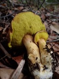 | Boletus auriporus Peck | 1900 | G. E. Morris |
All 754 specimens within 10 miles, at the Global Biodiversity Information Facility.
Mines and quarries near this place
10 of 15 shownRegional context, not property-specific evidence. The federal mineral resources record lists 15 workings within 5 miles of Maynard: 8 past producers, 5 producers, 2 unknowns. 5 still produce. What was taken out: Sand and Gravel, Construction. Distance is straight-line from the map coordinates, so a quarry counted here may appear on a neighbouring settlement's page as well.
| Where | Site | Commodity | Status | Recorded |
|---|---|---|---|---|
| Acton Pit | Sand and Gravel, Construction | Producer | ||
| Acton Pit--Assabet S & G | Sand and Gravel, Construction | Producer | ||
| Acton Plant | Sand and Gravel, Construction | Past Producer | ||
| Assabet Sand and Gravel Co | Sand and Gravel, Construction | Past Producer | Sedimentary | |
| Boxborough Pit | Sand and Gravel, Construction | Producer | ||
| D. B. Raymond Sand and Gravel Pit | Sand and Gravel, Construction | Past Producer | ||
| Hudson Plant | Sand and Gravel, Construction | Unknown | ||
| Kane Corporation Pit | Sand and Gravel, Construction | Producer | ||
| Lexington Sand and Gravel Co | Sand and Gravel, Construction | Past Producer | Sedimentary | |
| Melone Pit | Sand and Gravel, Construction | Producer |
Storms near this place
5 since 2008Regional context, not property-specific evidence. The National Weather Service names Maynard in 5 storm reports between 2008 and 2023: 2 thunderstorm wind, 1 hail, 1 flood, 1 flash flood. No death or injury is recorded in these reports. Each account below is quoted exactly as the forecast office filed it, from the NOAA Storm Events Database, and each date opens the federal record of that event.
| When | Event | Place named | Harm | What the report says |
|---|---|---|---|---|
| July 2008 | Thunderstorm Wind | Maynard | $10,000 | Trees and wires on Tremont Street and Dartmouth Court in Maynard and on School Street in Acton were downed by thunderstorm winds. |
| August 2017 | Thunderstorm Wind | Maynard | $6,000 | At 215 PM EST, a tree was downed on a car on Great Road in Maynard. |
| August 2018 | Flood | Maynard | $5,000 | At 6:59 PM EST, basement flooding was reported on Acton Street in Maynard. |
| August 2023 | Flash Flood | Maynard | - | In Maynard, Parker St at Great Rd was flooded and impassable. |
| August 2015 | Hail | Maynard | - | no account filed |
Nearest settlements
The eight closest, with where each one stands in the county. Distances are straight-line, computed from the Geographic Names Information System coordinates.
| Map | Place | Distance | Sheets |
|---|---|---|---|
| South Acton | 1.7 miles | 43 | |
| Damons Mills Westvale | 1.8 miles | 43 | |
| Lower Village | 1.9 miles | 43 | |
| Pine Lake | 2.6 miles | 43 | |
| Kelly Corner | 2.9 miles | 43 | |
| North Sudbury | 2.9 miles | 43 | |
| Stow | 3.0 miles | 43 | |
| Pine Rest | 3.1 miles | 43 |
Provenance
This settlement is recorded in the Geographic Names Information System as feature 611474. The sheet list is computed by point-in-boundary test against the United States Geological Survey's historical topographic inventory. Both are works of the United States government and carry no copyright under 17 U.S.C. 105.
Wildfire. Short, Karen C. 2022. Spatial wildfire occurrence data for the United States, 1992-2020 [FPA_FOD_20221014]. 6th Edition. Fort Collins, CO: Forest Service Research Data Archive. https://doi.org/10.2737/RDS-2013-0009.6 Collected with United States Government funding and usable without additional permissions or fees.
Specimens. Global Biodiversity Information Facility (GBIF), https://www.gbif.org/. Only records licensed CC0 or CC BY are used. Records licensed CC BY-NC are excluded because this site carries advertising. Images are checked individually and any whose licence is non-commercial, no-derivatives or unreadable is refused.
Mines and quarries. USGS Mineral Resources Data System (MRDS) https://mrdata.usgs.gov/mrds/ A work of the United States government, no copyright under 17 U.S.C. 105.
Storms. NOAA National Centers for Environmental Information, Storm Events Database https://www.ncei.noaa.gov/stormevents/ A work of the United States government, no copyright under 17 U.S.C. 105. Narratives are quoted verbatim from the National Weather Service report and are not edited or summarised.