 Block
Block
McDermott, Ohio
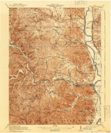
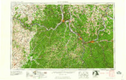
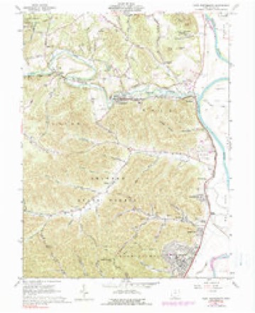
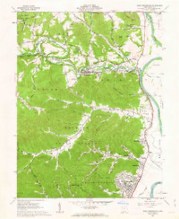
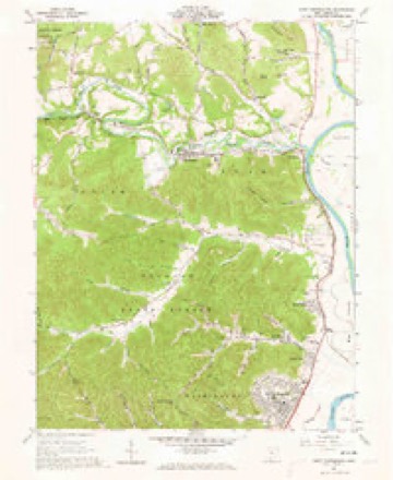
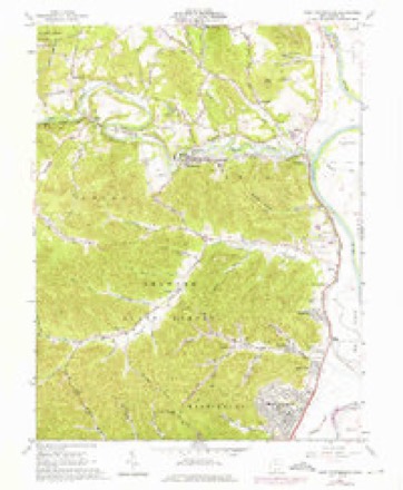
13 topographic sheets cover this place, the earliest surveyed in 1915 and the latest in 1991. It stands in Rush Township. It lies in ZIP code area 45652. It stands on Sweeny Run. The Survey maps it on the West Portsmouth quadrangle. 308 people lived here at the 2020 count. It stands 571 feet above sea level.
Population over time
2 figuresMcDermott fell from 434 to 308 between 2010 and 2020. These are the recorded population figures Wikidata holds for this place, reached through the Geographic Names Information System number this page is keyed on rather than by name, so they belong to this place and not to another of the same name. Most are census counts, but not all are: an early figure may be a founding or settlement estimate. The change column is computed, and is left blank where more than 20 years separate a figure from the one before it, because a gap that long is not a change between two counts.
| Year | People | Change |
|---|---|---|
| 2010 | 434 | |
| 2020 | 308 | -126 (-29%) |
Then and now
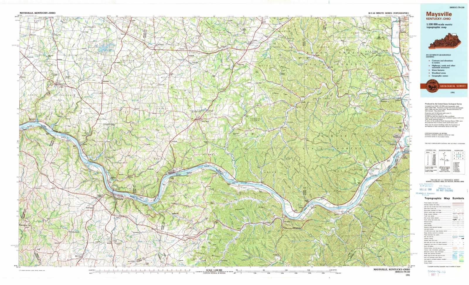
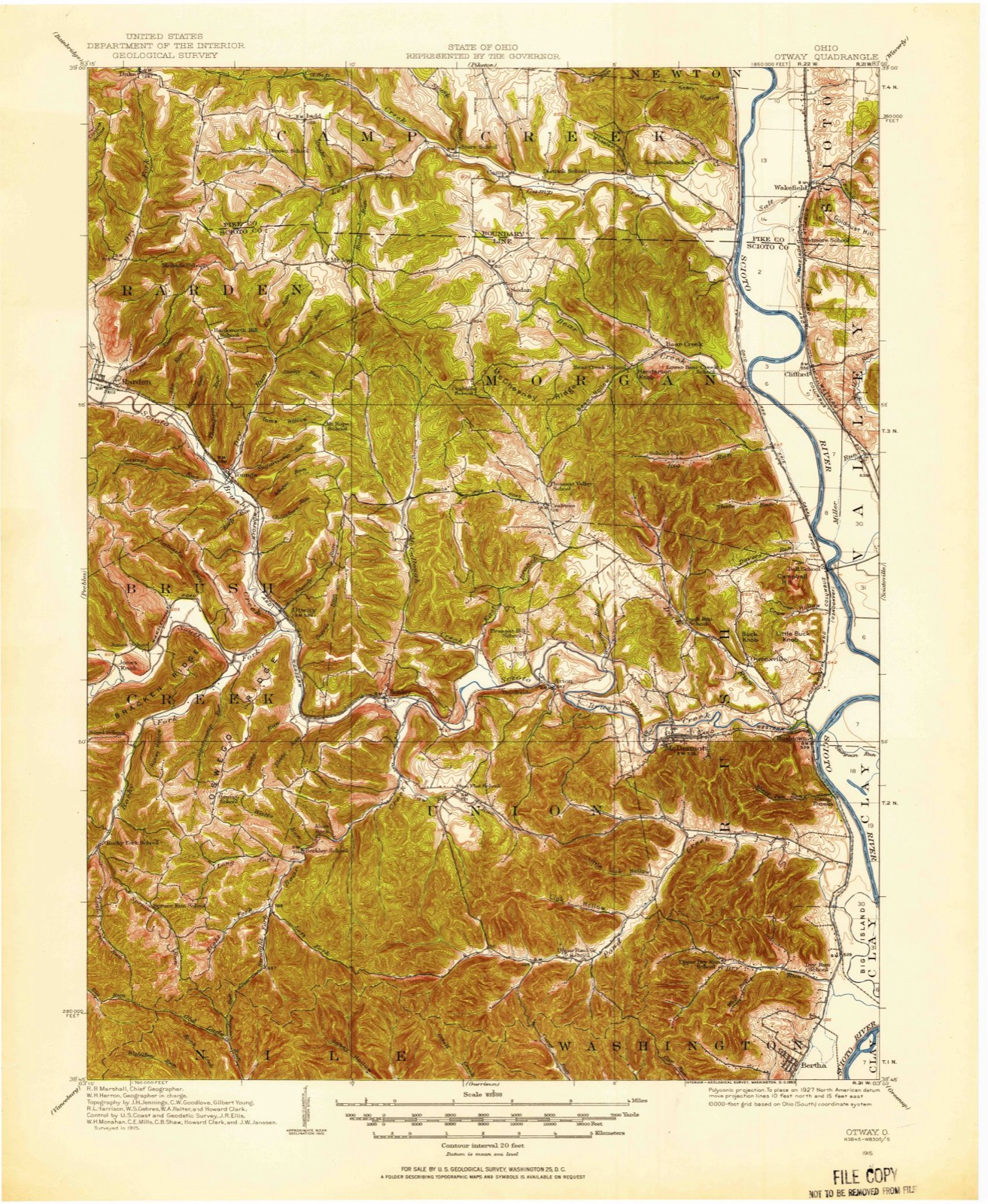
1915 to 1991The same ground, surveyed 76 years apart. Drag the handle to wipe between them. Both sheets are United States Geological Survey originals; neither has been altered.
Topographic sheets covering this place
13 sheetsMatched by testing this settlement's coordinate against the published boundary of every sheet in the United States Geological Survey's historical collection. Each opens the scanned sheet at the Survey.
- 1915 USGS Otway quadrangle1:62500
- 1915 USGS Otway quadrangle1:62500
- 1917 USGS Otway quadrangle1:62500
- 1957 USGS Huntington quadrangle1:250000
- 1957 USGS Huntington quadrangle1:250000
- 1957 USGS Huntington quadrangle1:250000
- 1960 USGS Huntington quadrangle1:250000
- 1961 USGS West Portsmouth quadrangle1:24000
- 1961 USGS West Portsmouth quadrangle1:24000
- 1961 USGS West Portsmouth quadrangle1:24000
- 1961 USGS West Portsmouth quadrangle1:24000
- 1986 USGS Maysville quadrangle1:100000
- 1991 USGS Maysville quadrangle1:100000
In the county-history sources
4,640 words on this townshipA History of Scioto County, Ohio,, published 1903 names this settlement in its chapter on Rush Township. These are the passages that mention it, exactly as the scans read.
Brush Creek crosses the middle of the township from west to east. Pond Creek enters toward the southwest corner and flows across the southern end and empties its waters at the north end of the Big Island into the Scioto River. Duck Run enters the township from Morgan and flows southeasterly and empties into Brush Creek at Rushtown. The Ohio Canal crosses it from north to south following the border of the hills. The Norfolk & Western R. R. crosses the township along the valley of Brush Creek and the Ohio Canal and has three stations within the township, to-wit: McDermott, Rushtown and Wharton.
Passage source: A History of Scioto County, Ohio,, published 1903.
The general offices, mills and quarries of this Company are at McDermott, a thriving town on the Cincinnati division of the Norfolk & Western Railway, ten miles northwest of Portsmouth. The properties owned by The McDermott Stone Co. a large acreage underlaid with Ohio's best sandstone deposit, had been operated separately, and on a small scale for more than forty years, until the year 1897 when they were presented to the attention of William and Michael McDermott, two successful and expert quarry operators of National reputation. After a thorough investigation, they decided to purchase the different properties and organize them info one Company, equipped with modern facilities, so that the Stone could be produced promptly and shipped in large quantities. As a basis for carrying out this plan, the lands were purchased, in the year 1897, the mills were erected and the standard gauge railroad tracks were built, connecting the various quarries with the main line of the Norfolk & Western Railway. The property was then taken over by the McDermott Stone Company, which was organized and incorporated under the laws of Ohio, March 23, 1898, with an authorized and paid up capital stock of $100,000.00. The improvements in methods and equipment have continued under the management of R. B. Eglin, President; George A. Dickens, Vice President and John S. Smith, Superintendent, until at the present time this Company and its product ranks among the highest in the building and architectural trade. The mills are equipped with a special idea of quick and accurate work, all material being handled automatically into and out of the mills and loaded on the cars ready for shipment to the most distant points.
Passage source: A History of Scioto County, Ohio,, published 1903.
The gangs which do the sawing are screw feed and pipe sides of the latest designs. The sand and water for cutting the stone are distributed by a sand pump and conducted to their proper position for doing the work under the steel saws without human assistance. The property is also equipped with an electric light plant so that sawing and shipping are carried on constantly night and day, throughout the entire season. The branch railroad which is owned and equipped by the Company consists of over three miles or standard gauge railroad track built of 56 pound rails, with rock ballasted road bed throughout its entire length. It is a perfect sample of railroad construction. The motive power employed is a standard, ten wheel, Brooks locomotive, and the equipment consists of numerous flat cars and side dump cars. In the quarries, the same complete manner of equipment is followed, all derricks are operated by steam hoisters from a central power station, and all are of thirty ton capacity, very heavily guyed to insure strength and safety. Steam drills and channeling machines are employed in quarrying the rock from its natural formation. A steam shovel is used in removing the top soil which overlays the stone. Owing to the large amount of machinery used by them they have now established a model machine and blacksmith shop at the plant for their own use, which is prepared to do all classes of work in that line. The Company employs a very large force of men, a majority of whom have acquired their own property and built homes at or near the town of McDermott, giving the place a very active and thriving appearance.
Passage source: A History of Scioto County, Ohio,, published 1903.
Machine-read from a century-old scan, so expect the errors a machine makes: misspelled names, dropped words, stray characters.
Read the whole chapter on Rush Township - it names this place 3 more 3 times.
Fires near this place
50 since 2002Regional context, not property-specific evidence. The federal wildfire occurrence database lists 50 fires within 5 miles of McDermott between 2002 and 2020, burning about 597 acres in total. 1 started naturally. 4 were recorded as arson. Distance is straight-line from the map coordinates, so a fire counted here may appear on a neighbouring settlement's page as well.
| Reported cause | Fires |
|---|---|
| Missing data/not specified/undetermined | 22 |
| Debris and open burning | 20 |
| Arson/incendiarism | 4 |
| Equipment and vehicle use | 3 |
| Natural | 1 |
The most recent of them, most recent first, with the day each was reported and the service that recorded it.
| Date | Cause | Size | Reported by | Name on the report |
|---|---|---|---|---|
| 22 September 2007 | Missing data/not specified/undetermined | under an acre | Ohio Department of Natural Resources | not named |
| 20 September 2007 | Missing data/not specified/undetermined | 57 acres | Ohio Department of Natural Resources | not named |
| 17 September 2003 | Arson/incendiarism | under an acre | Ohio Department of Natural Resources | not named |
| 3 August 2019 | Missing data/not specified/undetermined | under an acre | Ohio Department of Natural Resources | 15224 |
| 23 August 2002 | Natural | 60 acres | Ohio Department of Natural Resources | TAYLOR LUMBER |
| 2 June 2014 | Arson/incendiarism | 180 acres | Ohio Department of Natural Resources | not named |
| 9 April 2014 | Missing data/not specified/undetermined | 20 acres | Ohio Department of Natural Resources | not named |
| 9 April 2014 | Debris and open burning | 25 acres | Ohio Department of Natural Resources | not named |
Settlements close enough to share some of these fires:
Specimens collected near this place
12 of 1,552 shownRegional context, not property-specific evidence. Museums hold 1,552 specimens collected within 10 miles of McDermott between 1884 and 1975: 1,432 Animalia, 58 Plantae, 53 Fungi, 5 Protozoa, 2 Unrecorded, 2 Chromista. 12 distinct Species records are shown. Collected by ?, A. Braun, A.P. Morgan and others. Each is a physical object with a catalogue number, and each entry opens the museum's record. This is what was collected and kept, not a survey of what lives here - nothing can be concluded from a species being absent.
| Image | Species | Year | Collected by | Where, as recorded |
|---|---|---|---|---|
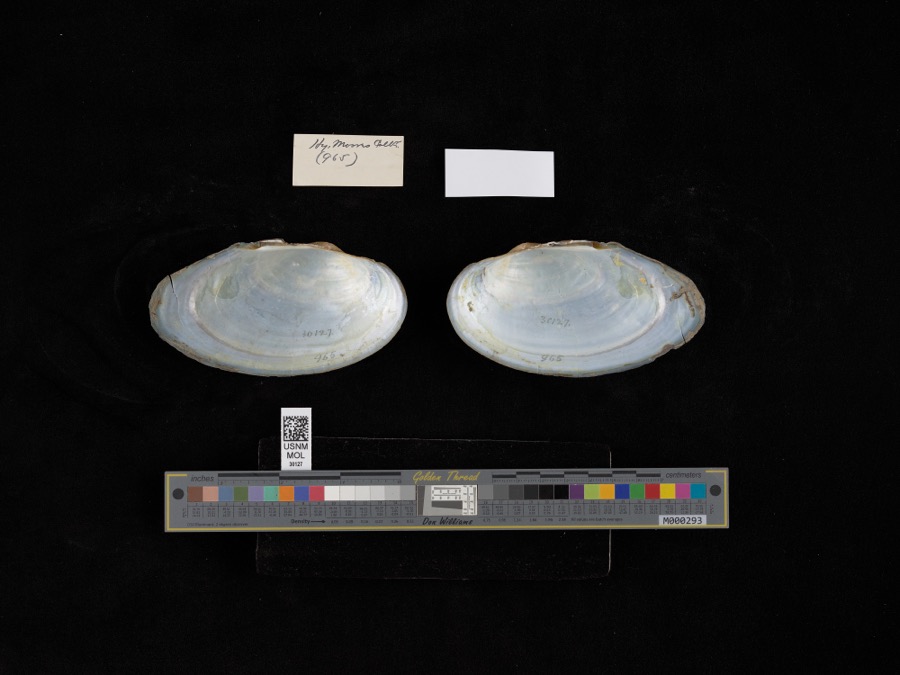 | Pyganodon grandis (Say, 1829) | 1884 | H. Mores | Scioto River |
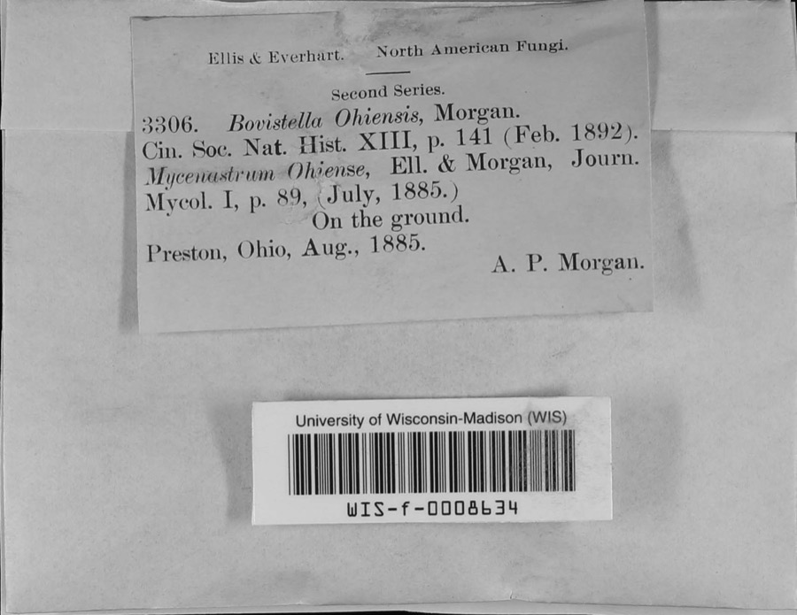 | Bovistella Morgan | 1885 | A.P. Morgan | Preston |
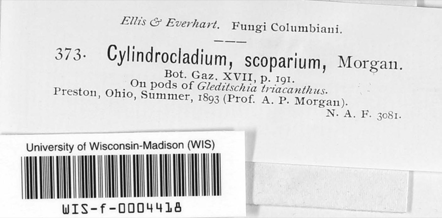 | Cylindrocladium scoparium Morgan | 1893 | A.P. Morgan | Preston |
 | Campeloma Rafinesque, 1819 | 1885 | Ch. R. Orcutt | Scioto River |
 | Harpographium fasciculatum (Sacc.) Sacc. | 1887 | A.P. Morgan | Preston |
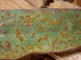 | Puccinia recondita Roberge ex Desm. | 1889 | Craig M. | Franklin Co. "hayden's Falls" on Scioto River |
 | Myelochroa galbina (Ach.) Elix & Hale | 1893 | Jones, T.H.B | Otway |
 | Hybognathus nuchalis Agassiz, 1855 | 1894 | Bean & B. Evermann | Scioto Creek, Coopersville, New York |
 | Notropis atherinoides Rafinesque, 1818 | 1894 | B. W. Evermann | Cooperville; Scioto Cr |
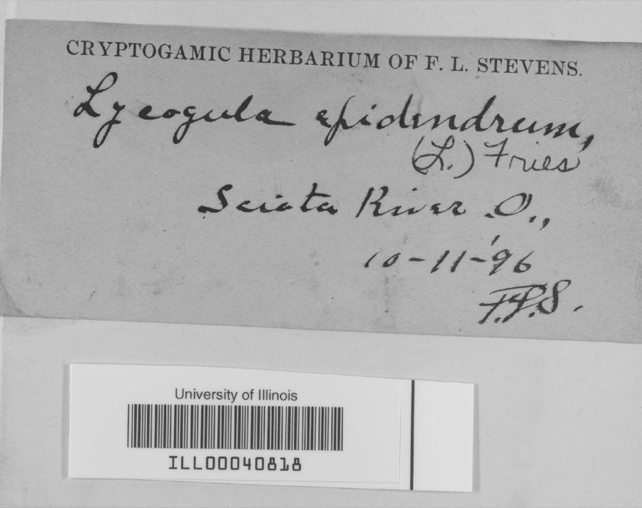 | Lycogala epidendrum (L.) Fr., 1829 | 1896 | not recorded | Scioto River |
| unnamed | 1897 | Morgan | Preston | |
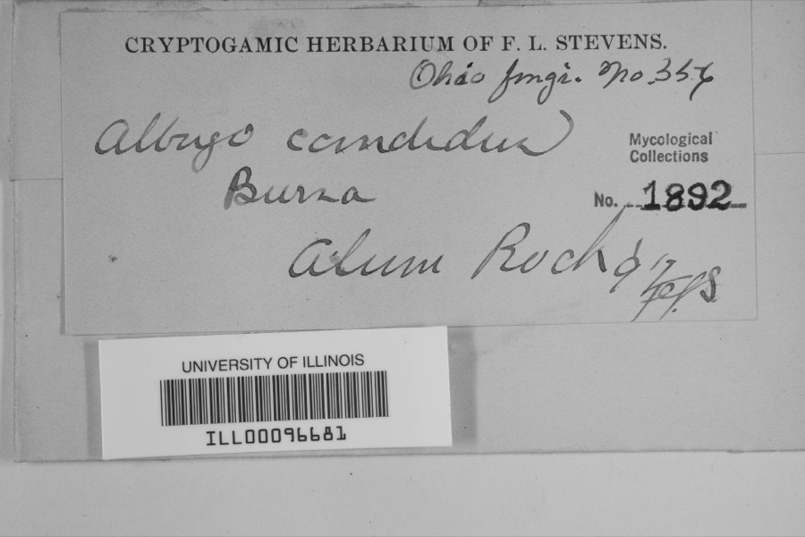 | Albugo candida (Pers. ex J.F.Gmel.) Roussel | 1897 | F.L. Stevens | Alum Rock |
All 1,552 specimens within 10 miles, at the Global Biodiversity Information Facility.
Mines and quarries near this place
9 within 5 milesRegional context, not property-specific evidence. The federal mineral resources record lists 9 workings within 5 miles of McDermott: 5 producers, 4 past producers. 5 still produce. What was taken out: Flagstone, Stone, Crushed/Broken, Sand and Gravel, Construction. Distance is straight-line from the map coordinates, so a quarry counted here may appear on a neighbouring settlement's page as well.
| Where | Site | Commodity | Status | Recorded |
|---|---|---|---|---|
| Lucasville Sand and Gravel | Sand and Gravel, Construction | Producer | ||
| Lucasville Sand and Gravel Pit | Sand and Gravel, Construction | Past Producer | Sedimentary | |
| Taylor Stone Quarry | Stone, Crushed/Broken | Past Producer | Sedimentary | |
| Waller Brothers Stone Quarries | Stone, Crushed/Broken | Past Producer | Sedimentary | |
| Taylor Stone Quarry | Flagstone | Past Producer | ||
| Waller Bros Quarry | Flagstone | Producer | ||
| Waller Bros Quarry | Flagstone | Producer | ||
| Waller Bros Quarry | Flagstone | Producer | ||
| Waller Brothers Stone Company | Flagstone | Producer |
Nearest settlements
The eight closest, with where each one stands in the county. Distances are straight-line, computed from the Geographic Names Information System coordinates.
| Map | Place | Distance | Sheets |
|---|---|---|---|
| Owensville | 1.7 miles | 13 | |
| Arion | 2.2 miles | 13 | |
| Rushtown | 2.4 miles | 13 | |
| Lombardsville | 3.7 miles | 12 | |
| Coles Park | 4.2 miles | 13 | |
| Dry Run | 4.4 miles | 13 | |
| Crabtree | 4.5 miles | 12 | |
| Lucasville | 4.7 miles | 12 |
Elsewhere
Matched on this settlement's Geographic Names Information System number rather than its name, so it cannot be a different place of the same name in another state.
| Wikipedia article on McDermott | An encyclopaedic summary. Its text is share-alike, so it is linked here rather than copied. |
| Wikidata item Q946411 | The structured record the population and elevation above come from. Public domain (CC0). |
Provenance
This settlement is recorded in the Geographic Names Information System as feature 1048962. The sheet list is computed by point-in-boundary test against the United States Geological Survey's historical topographic inventory. Both are works of the United States government and carry no copyright under 17 U.S.C. 105.
Wildfire. Short, Karen C. 2022. Spatial wildfire occurrence data for the United States, 1992-2020 [FPA_FOD_20221014]. 6th Edition. Fort Collins, CO: Forest Service Research Data Archive. https://doi.org/10.2737/RDS-2013-0009.6 Collected with United States Government funding and usable without additional permissions or fees.
Specimens. Global Biodiversity Information Facility (GBIF), https://www.gbif.org/. Only records licensed CC0 or CC BY are used. Records licensed CC BY-NC are excluded because this site carries advertising. Images are checked individually and any whose licence is non-commercial, no-derivatives or unreadable is refused.
Mines and quarries. USGS Mineral Resources Data System (MRDS) https://mrdata.usgs.gov/mrds/ A work of the United States government, no copyright under 17 U.S.C. 105.