 Block
Block
Medway, Ohio
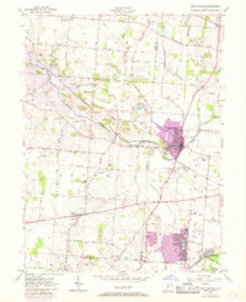
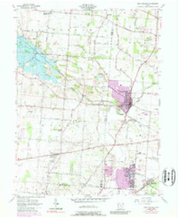
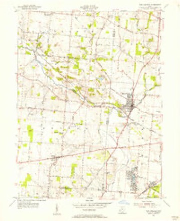
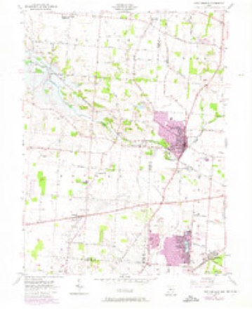
13 topographic sheets cover this place, the earliest surveyed in 1904 and the latest in 1986. It stands in Bethel Township. It lies in ZIP code area 45341. The Survey maps it on the New Carlisle quadrangle. 627 people lived here at the 2020 count. It stands 899 feet above sea level.
Then and now
1904 to 1986The same ground, surveyed 82 years apart. Drag the handle to wipe between them. Both sheets are United States Geological Survey originals; neither has been altered.

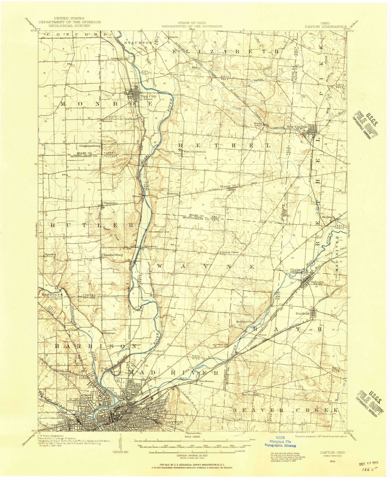
Topographic sheets covering this place
13 sheetsMatched by testing this settlement's coordinate against the published boundary of every sheet in the United States Geological Survey's historical collection. Each opens the scanned sheet at the Survey.
- 1904 USGS Dayton quadrangle1:62500
- 1906 USGS Dayton quadrangle1:62500
- 1906 USGS Dayton quadrangle1:62500
- 1953 USGS Cincinnati quadrangle1:250000
- 1953 USGS Cincinnati quadrangle1:250000
- 1953 USGS Cincinnati quadrangle1:250000
- 1955 USGS New Carlisle quadrangle1:24000
- 1955 USGS New Carlisle quadrangle1:24000
- 1955 USGS New Carlisle quadrangle1:24000
- 1955 USGS New Carlisle quadrangle1:24000
- 1957 USGS Cincinnati quadrangle1:250000
- 1986 USGS Dayton quadrangle1:100000
- 1986 USGS Dayton quadrangle1:100000






In the county-history sources
43,588 words on this townshipIllustrated Historical Atlas of Clark County, Ohio, published 1875; The History of Clark County Ohio,, published 1881 names this settlement in its chapter on Bethel Township. These are the passages that mention it, exactly as the scans read.
Thomas Williams came to this region in 1796, and entered on « hunter's life. Tle ownod no land, and was regarded az a Western Arab, spending his time in the forest and visiting the settlement to dispose of furs und obtain supplies of ammunition. John, James, and Willian Lamme settled between Medway and Donnelsvillo. Letfel and family were settlers from Virginia. Jacob, a son, was a horse-doctor, and lately died at Osborn, at the advanced age of ninety-three years.
Passage source: Illustrated Historical Atlas of Clark County, Ohio, published 1875.
Iowa; Elizabeth, who married George Layton; and Lucinda, who married and moved to Michigan. Mr. Donnels last years were embittered by family troubles, and, in a fit of temporary insanity, he hung himself on the Holcomb limekiln farm in Springfield Township, whither he had moved after selling his old home. He was a man of sterling traits of character, generous and whole-souled, and was very well read for those early days, and was indeed one of the noblest of Clark County's pioneers. His brother, James Donnels, who came in 1797, grew up under his care and married Mary Hopkins, settling where John Leffel now lives. He had eight children, but three of whom are living, viz., Susan, the wife of Jesse Boyd; Eliza, the wife of Lewis Huffman; and Jonathan. Mr. Donnels moved to the northeast corner of Springfield Township; thence to the farm where Jesse Boyd lives in Harmony Township, and finally to the farm where his son Jonathan now resides, where he and his wife died.
Passage source: The History of Clark County Ohio,, published 1881.
Jacob Huffman, a native of Pennsylvania, settled in the eastern corner of the township in 1802. He died December 1, 1542, aged seventy-two years, and his wife Catharine, died in August, 1866, aged eighty years. They had ten children who grew up - five yet living, viz., Henry, Reuben, Martha, Rachael and Samuel. He built a fine stone house which is yet standing.
Passage source: The History of Clark County Ohio,, published 1881.
Machine-read from a century-old scan, so expect the errors a machine makes: misspelled names, dropped words, stray characters.
Read the whole chapter on Bethel Township - it names this place 11 more 11 times.
Specimens collected near this place
12 of 291 shownRegional context, not property-specific evidence. Museums hold 291 specimens collected within 10 miles of Medway between 1870 and 1975: 213 Animalia, 42 Fungi, 28 Plantae, 7 Protozoa, 1 Unrecorded. 12 distinct Species records are shown. Collected by A JOHN, A. N. Leeds, A. R. Gaufin and others. Each is a physical object with a catalogue number, and each entry opens the museum's record. This is what was collected and kept, not a survey of what lives here - nothing can be concluded from a species being absent.
| Image | Species | Year | Collected by | Where, as recorded |
|---|---|---|---|---|
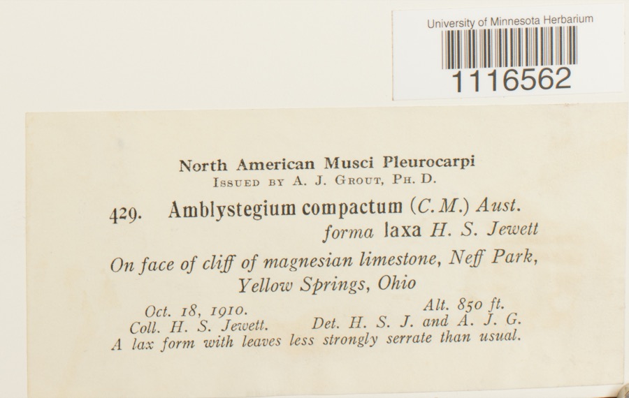 | Conardia compacta (Müll.Hal.) H.Rob. | 1910 | H.S. Jewett | Neff Park, Yellow Springs |
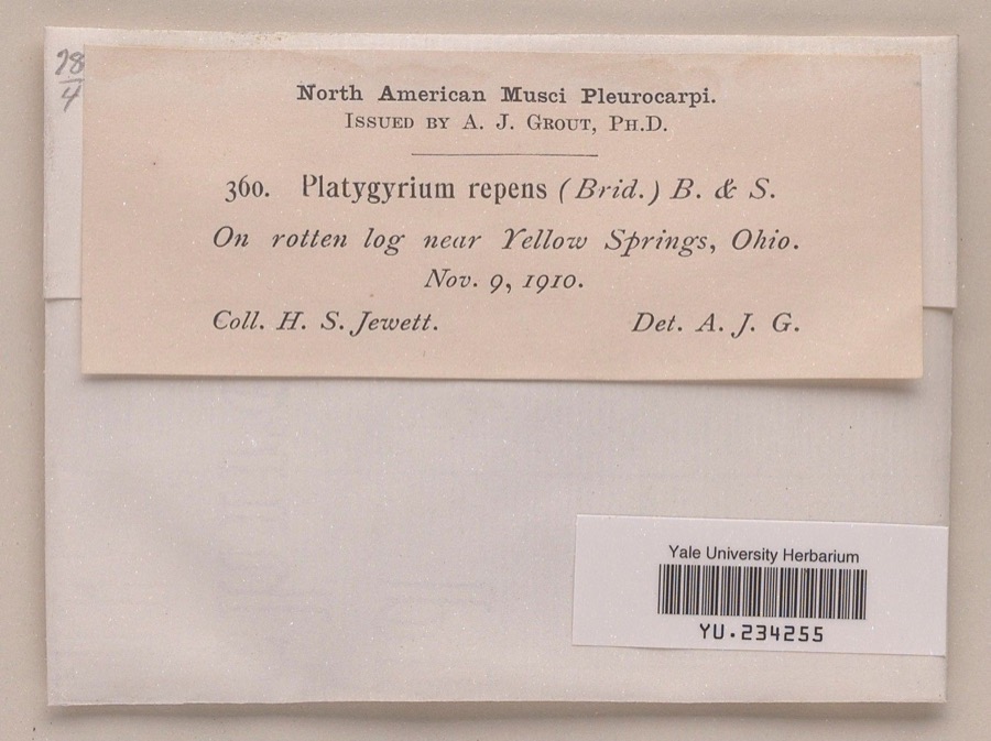 | Platygyrium repens (Brid.) Schimp. | 1910 | Henry S. Jewett | near Yellow Springs |
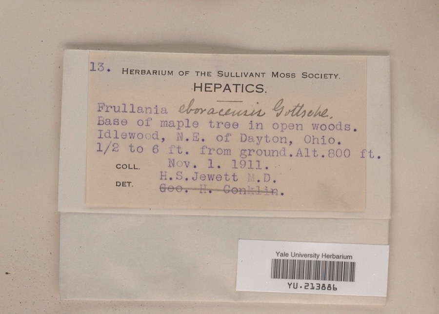 | Frullania eboracensis Gottsche | 1911 | Henry S. Jewett | Idlewood, northeast of Dayton, 0.5 to 6 ft. from ground |
 | Bidens bipinnata L. | 1870 | J Y Bergen; T L Bergen | Yellow Springs |
 | Amblystegium serpens (Hedw.) Schimp. | 1877 | not recorded | |
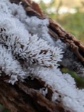 | Ceratiomyxa fruticulosa var. arbuscula (Berk. & Broome) Nann.-Bremek., 1975 | 1897 | Thaxter, R. | USA, Florida, Cocoanut Grove |
 | Mermis Dujardin, 1842 | 1897 | F. Johnston | New Carlisle |
 | Bombus pensylvanicus (De Geer, 1773) | 1903 | not recorded | New Carlisle |
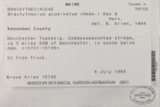 | Chamberlainia acuminata (Hedw.) Grout | 1910 | H. S. Jewett | Yellow Springs |
| Crypsis schoenoides (L.) Lam. | 1910 | Hopkins, L.S. | Yellow Springs | |
| Entodon seductrix (Hedw.) Müll.Hal. | 1910 | H. S. Jewett | Yellow Springs | |
| Gymnostomum curvirostre Hedw. ex Brid. | 1910 | H. S. Jewett | Yellow Springs |
All 291 specimens within 10 miles, at the Global Biodiversity Information Facility.
Mines and quarries near this place
10 of 13 shownRegional context, not property-specific evidence. The federal mineral resources record lists 13 workings within 5 miles of Medway: 9 past producers, 3 producers, 1 plant. 4 still produce. What was taken out: Sand and Gravel, Construction, Limestone, General, Stone, Crushed/Broken. Distance is straight-line from the map coordinates, so a quarry counted here may appear on a neighbouring settlement's page as well.
| Where | Site | Commodity | Status | Recorded |
|---|---|---|---|---|
| Fairborn Quarry | Limestone, General | Past Producer | Sedimentary | |
| Universal Atlas Cement, Div. Of | Stone, Crushed/Broken | Past Producer | ||
| Enon Pit | Sand and Gravel, Construction | Past Producer | Sedimentary | |
| Enon Pit & Mill | Sand and Gravel, Construction | Producer | ||
| Fairborn Aggregate Plant & No.4 Pit | Sand and Gravel, Construction | Plant | ||
| Fairborn No 413 Pit & Plant | Sand and Gravel, Construction | Producer | ||
| Fairborn Number 4 Pit | Sand and Gravel, Construction | Past Producer | Sedimentary | |
| Fairborn Pit | Sand and Gravel, Construction | Past Producer | Sedimentary | |
| Hilltop Pit | Sand and Gravel, Construction | Producer | ||
| New Carlisle Sand and Gravel Pit | Sand and Gravel, Construction | Past Producer | Sedimentary |
Storms near this place
8 since 1996Regional context, not property-specific evidence. The National Weather Service names Medway in 8 storm reports between 1996 and 2023: 4 flood, 3 thunderstorm wind, 1 flash flood. No death or injury is recorded in these reports. Each account below is quoted exactly as the forecast office filed it, from the NOAA Storm Events Database, and each date opens the federal record of that event.
| When | Event | Place named | Harm | What the report says |
|---|---|---|---|---|
| July 2000 | Thunderstorm Wind | Medway | $25,000 | Numerous trees and large limbs were knocked down in a 3/4 mile long path. |
| April 1996 | Thunderstorm Wind | Medway | $2,000 | no account filed |
| August 2016 | Thunderstorm Wind | Medway | $1,000 | One tree was knocked down on Spangler Road about a mile north of Interstate 70. |
| March 2023 | Flood | Medway | - | Spangler Road was closed due to high water. |
| March 2023 | Flood | Medway | - | High water was reported on Spangler Road. |
| February 2022 | Flood | Medway | - | Spangler Road near I-675 South was closed due to high water. |
| February 2018 | Flood | Medway | - | High water was reported over a portion of Spangler Road by Restoration Park Church. |
| July 2017 | Flash Flood | Medway | - | Eight inches of water was reported running across a 100 foot stretch of Lower Valley Pike, about 1.5 miles east of Medway. |
Nearest settlements
The eight closest, with where each one stands in the county. Distances are straight-line, computed from the Geographic Names Information System coordinates.
| Map | Place | Distance | Sheets |
|---|---|---|---|
| Schauers Acres | 0.9 miles | 13 | |
| Crystal Lakes | 1.0 miles | 13 | |
| Park Layne Manor | 1.4 miles | 13 | |
| Park Layne | 1.6 miles | 13 | |
| Forgy | 2.4 miles | 14 | |
| Holiday Valley | 2.8 miles | 16 | |
| Funderberg (historical) | 3.4 miles | 13 | |
| West Enon Estates | 3.5 miles | 16 |
Elsewhere
Matched on this settlement's Geographic Names Information System number rather than its name, so it cannot be a different place of the same name in another state.
| Wikipedia article on Medway | An encyclopaedic summary. Its text is share-alike, so it is linked here rather than copied. |
| Wikidata item Q3472368 | The structured record the population and elevation above come from. Public domain (CC0). |
Provenance
This settlement is recorded in the Geographic Names Information System as feature 1065730. The sheet list is computed by point-in-boundary test against the United States Geological Survey's historical topographic inventory. Both are works of the United States government and carry no copyright under 17 U.S.C. 105.
Specimens. Global Biodiversity Information Facility (GBIF), https://www.gbif.org/. Only records licensed CC0 or CC BY are used. Records licensed CC BY-NC are excluded because this site carries advertising. Images are checked individually and any whose licence is non-commercial, no-derivatives or unreadable is refused.
Mines and quarries. USGS Mineral Resources Data System (MRDS) https://mrdata.usgs.gov/mrds/ A work of the United States government, no copyright under 17 U.S.C. 105.
Storms. NOAA National Centers for Environmental Information, Storm Events Database https://www.ncei.noaa.gov/stormevents/ A work of the United States government, no copyright under 17 U.S.C. 105. Narratives are quoted verbatim from the National Weather Service report and are not edited or summarised.