 Block
Block
Melrose, Massachusetts
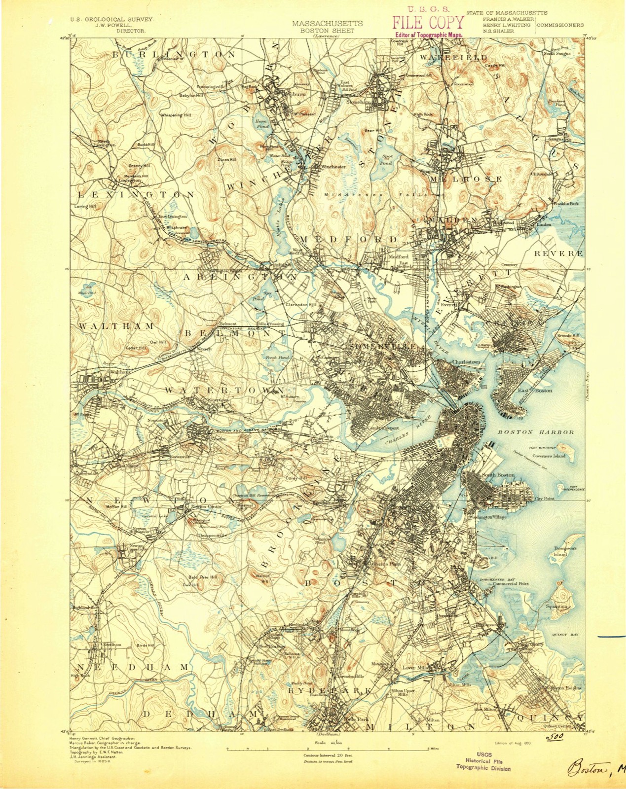
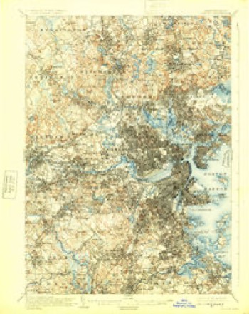
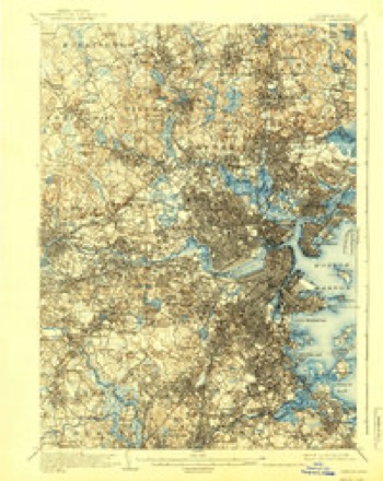
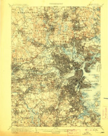
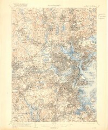
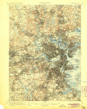
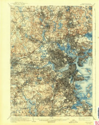
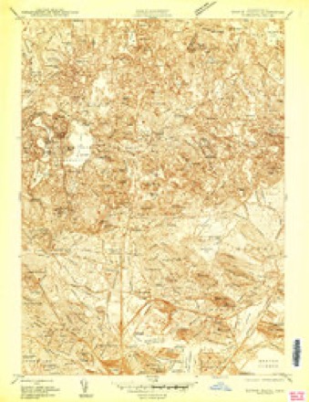
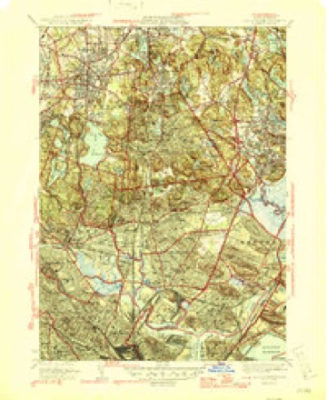
46 topographic sheets cover this place, the earliest surveyed in 1893 and the latest in 1989. It stands in Melrose City. It lies in ZIP code area 02176. It stands on Melrose Rock. The Survey maps it on the Boston North quadrangle. 29,817 people lived here at the 2020 count. It stands 135 feet above sea level.
Population over time
2 figuresMelrose grew from 26,983 to 29,817 between 2010 and 2020. These are the recorded population figures Wikidata holds for this place, reached through the Geographic Names Information System number this page is keyed on rather than by name, so they belong to this place and not to another of the same name. Most are census counts, but not all are: an early figure may be a founding or settlement estimate. The change column is computed, and is left blank where more than 20 years separate a figure from the one before it, because a gap that long is not a change between two counts.
| Year | People | Change |
|---|---|---|
| 2010 | 26,983 | |
| 2020 | 29,817 | +2,834 (+11%) |
Then and now
1893 to 1989The same ground, surveyed 96 years apart. Drag the handle to wipe between them. Both sheets are United States Geological Survey originals; neither has been altered.

Topographic sheets covering this place
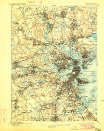
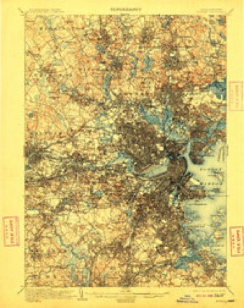
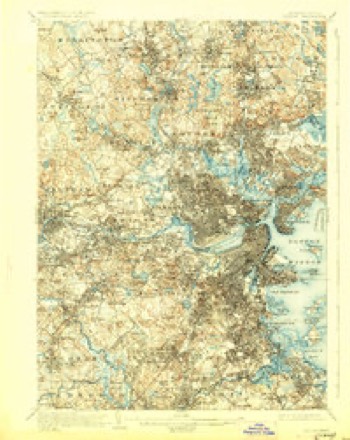
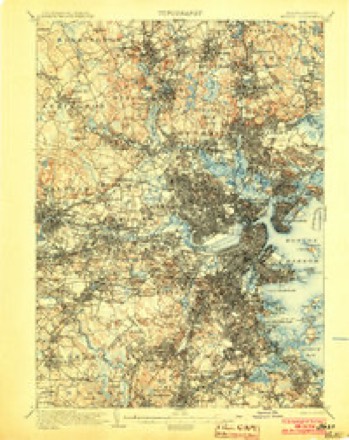
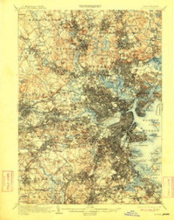
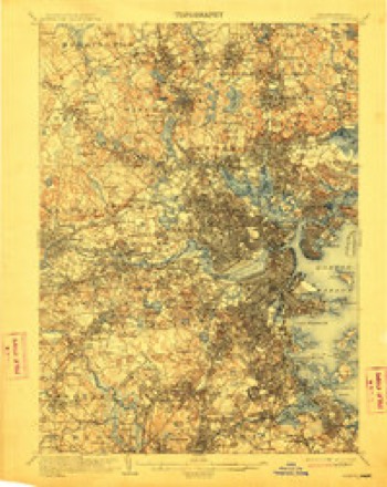
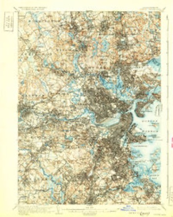
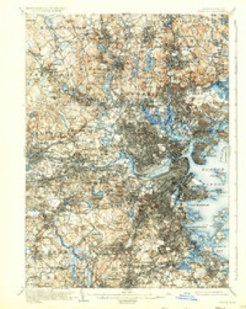
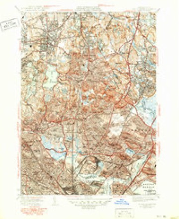
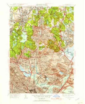
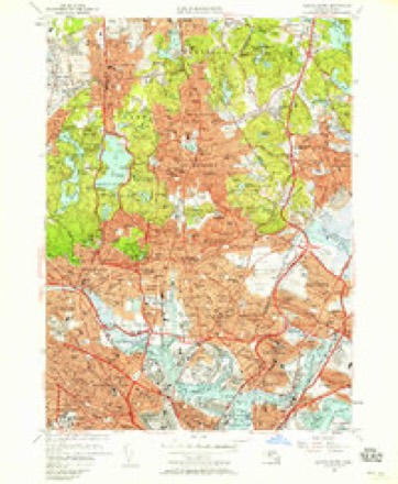
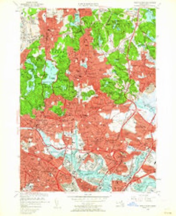
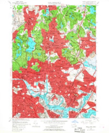
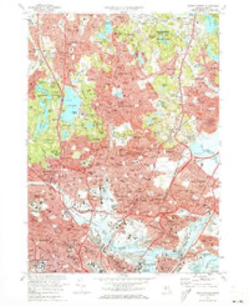
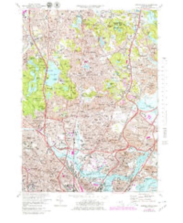
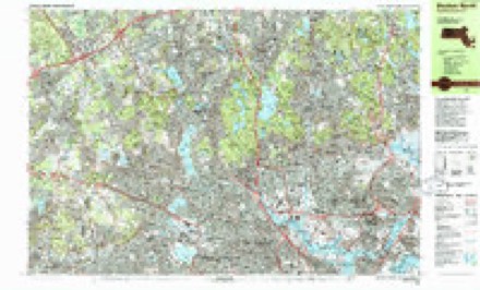
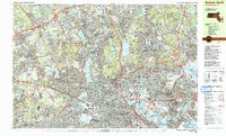
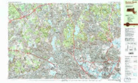
46 sheetsMatched by testing this settlement's coordinate against the published boundary of every sheet in the United States Geological Survey's historical collection. Each opens the scanned sheet at the Survey.
- 1893 USGS Boston quadrangle1:62500
- 1893 USGS Boston quadrangle1:62500
- 1893 USGS Boston quadrangle1:62500
- 1893 USGS Boston quadrangle1:62500
- 1903 USGS Boston quadrangle1:62500
- 1903 USGS Boston quadrangle1:62500
- 1903 USGS Boston quadrangle1:62500
- 1903 USGS Boston quadrangle1:62500
- 1903 USGS Boston quadrangle1:62500
- 1903 USGS Boston quadrangle1:62500
- 1903 USGS Boston quadrangle1:62500
- 1903 USGS Boston quadrangle1:62500
- 1903 USGS Boston quadrangle1:62500
- 1903 USGS Boston quadrangle1:62500
- 1903 USGS Boston quadrangle1:62500
- 1903 USGS Boston quadrangle1:62500
- 1903 USGS Boston quadrangle1:62500
- 1943 USGS Boston quadrangle1:125000
- 1943 USGS Boston North quadrangle1:24000
- 1946 USGS Boston North quadrangle1:31680
- 1946 USGS Boston North quadrangle1:31680
- 1948 USGS Boston quadrangle1:250000
- 1948 USGS Boston quadrangle1:250000
- 1949 USGS Boston North quadrangle1:31680
- 1956 USGS Boston quadrangle1:250000
- 1956 USGS Boston quadrangle1:250000
- 1956 USGS Boston quadrangle1:250000
- 1956 USGS Boston quadrangle1:250000
- 1956 USGS Boston quadrangle1:250000
- 1956 USGS Boston quadrangle1:250000
- 1956 USGS Boston North quadrangle1:24000
- 1956 USGS Boston North quadrangle1:24000
- 1956 USGS Boston North quadrangle1:24000
- 1958 USGS Boston quadrangle1:250000
- 1958 USGS Boston quadrangle1:250000
- 1961 USGS Boston quadrangle1:250000
- 1961 USGS Boston quadrangle1:250000
- 1971 USGS Boston North quadrangle1:24000
- 1971 USGS Boston North quadrangle1:25000
- 1977 USGS Boston North quadrangle1:25000
- 1985 USGS Boston quadrangle1:100000
- 1985 USGS Boston North quadrangle1:25000
- 1985 USGS Boston North quadrangle1:25000
- 1985 USGS Boston North quadrangle1:25000
- 1989 USGS Boston quadrangle1:100000
- 1989 USGS Boston quadrangle1:100000
















In the county-history sources
25,771 words on this townshipHistory of Middlesex County, Massachusetts : Containing Carefully Prepared Histories of Every City and Town in the County, published 1880 names this settlement in its chapter on Melrose City. These are the passages that mention it, exactly as the scans read.
Melrose contains a superficial area of about 2,900 square acres, 2,7;iO of which are taxable. It is two and one eighth miles in length, and has an average width of two miles. It is bounded on the north by Wakefield, on the east by Saugus, on the south by Maiden, and on the west by Stoneham and a corner of Medford. It has four villages : Wyoming, at the south part of the town ; tiie Centre ; the Highlands, at the north ; and Norrisville, in the northeastern part. Its surface is charmhigly diversified with hill, valley, pond, and stream. From the summits of a number of its elevations - particularly Boston Rock in the south, Barrett's Mount in the centre, and West Rock, or Vinton Hill, in the north - extensive views of the surrounding country and of the ocean may be had. L Pond, situated in the centre of the town, so named from its shape, contains about thirty acres, and upon its borders are many of the finest residences. This pond received its name as early as 1638, nine years after the settlement of Charlestown, in whose records it is then mentioned ; and it was so called in manv other earlv documents.
Passage source: History of Middlesex County, Massachusetts : Containing Carefully Prepared Histories of Every City and Town in the County, published 1880.
It is often spelled "Ell," an undoubted misapprehension from its sound. It has recently been stocked with black bass and alewives by a fishing association under the protection of state law. Long Pond, in the eastern portion of the town, part of which is in Melrose and part in Saugus, is the source of the Saugus River. This and Swain's Pond, in the southeastern part of the town, were named as early as 1660, being then referred to in the Charlestown records. Dix, formerly Little, Pond, near the centre, is small, but it is the legendary pond of Melrose, rumor giving it a fathomless bottom from time immemorial.
Passage source: History of Middlesex County, Massachusetts : Containing Carefully Prepared Histories of Every City and Town in the County, published 1880.
Wiien Maiden was incorporated nearly all of its territory above the settlement, a tract of 2,300 acres of undivided land, covering what was afterwards North Maiden, now Melrose, was a dense forest " full of stately timber," and " indeed generally all the country round about was an uncouth wilderness." In time it came to be known as the "common lands," or "the commons," becoming valuable as woodland and pasturage ; and various votes were passed by the town for its preservation and utility. The Maiden Records, March ii6, 1694, contain the report of a committee " to run lines between the Common and proprietors' lands, as follows : Run y' bounds Round Reedy pond y' bounds are first a great buttenwood tree before Joseph Lines dore - and so bounded Round with seuerall trees marked with letter C next common." November 20, of the same year, it was " Voted, That y' common shall bs divided : bottom and top, yt is, land and wood " ; and. six days afterwards, a committee of tliree, Major William Johnson, Captain John Brown, and Captain John Smith, reported to the town the manner in whicli it should be done, giving to every freeholder in the town a proportion 'according to his ratable estate. A committee of seven was then appointed to proceed with the division, and it was ordered that they " employ an artis to lay out the lots." Every lot was to " run 82 poles in liMigth," and there was to be allowed " two poles in breadlli between every name to be written distinctly, and ye lots be well shutHed togetiier, and (me man chose by the town to draw them out of a bag. Tiie first name drawn to have the first lot." Tiiis division was tiius made in 1695, when seventy-four freeholders, then in Maiden, received their respective allotments.
Passage source: History of Middlesex County, Massachusetts : Containing Carefully Prepared Histories of Every City and Town in the County, published 1880.
Machine-read from a century-old scan, so expect the errors a machine makes: misspelled names, dropped words, stray characters.
Read the whole chapter on Melrose City - it names this place 63 more 63 times.
Fires near this place
91 since 2004Regional context, not property-specific evidence. The federal wildfire occurrence database lists 91 fires within 5 miles of Melrose between 2004 and 2020, burning about 107 acres in total. None started naturally. 29 were recorded as arson. Distance is straight-line from the map coordinates, so a fire counted here may appear on a neighbouring settlement's page as well.
| Reported cause | Fires |
|---|---|
| Arson/incendiarism | 29 |
| Missing data/not specified/undetermined | 24 |
| Recreation and ceremony | 14 |
| Debris and open burning | 13 |
| Smoking | 5 |
| Misuse of fire by a minor | 3 |
| Equipment and vehicle use | 2 |
| Power generation/transmission/distribution | 1 |
The most recent of them, most recent first, with the day each was reported and the service that recorded it.
| Date | Cause | Size | Reported by | Name on the report |
|---|---|---|---|---|
| 4 September 2018 | Missing data/not specified/undetermined | under an acre | Massachusetts Bureau of Forest Fire Control | not named |
| 3 September 2018 | Missing data/not specified/undetermined | under an acre | Massachusetts Bureau of Forest Fire Control | not named |
| 25 September 2015 | Equipment and vehicle use | under an acre | Massachusetts Bureau of Forest Fire Control | SAUGUS |
| 23 September 2020 | Recreation and ceremony | under an acre | Massachusetts Bureau of Forest Fire Control | not named |
| 23 September 2019 | Missing data/not specified/undetermined | under an acre | Massachusetts Bureau of Forest Fire Control | not named |
| 23 September 2019 | Missing data/not specified/undetermined | under an acre | Massachusetts Bureau of Forest Fire Control | not named |
| 22 September 2019 | Missing data/not specified/undetermined | under an acre | Massachusetts Bureau of Forest Fire Control | not named |
| 21 September 2020 | Missing data/not specified/undetermined | under an acre | Massachusetts Bureau of Forest Fire Control | not named |
Settlements close enough to share some of these fires:
Specimens collected near this place
12 of 1,267 shownRegional context, not property-specific evidence. Museums hold 1,267 specimens collected within 10 miles of Melrose between 1898 and 1975: 490 Animalia, 447 Plantae, 281 Fungi, 17 Bacteria, 15 Protozoa, 9 Chromista, 8 Unrecorded. 12 distinct Species records are shown. Collected by ?, A B Seymour, A B. Proper and others. Each is a physical object with a catalogue number, and each entry opens the museum's record. This is what was collected and kept, not a survey of what lives here - nothing can be concluded from a species being absent.
| Image | Species | Year | Collected by | Where, as recorded |
|---|---|---|---|---|
 | Trientalis borealis Raf. | 1900 | A. P. Chute | |
| Aglaospora profusa (Fr.) De Not. | 1898 | Collector unspecified | ||
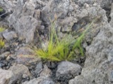 | Bulbostylis capillaris var. crebra Fernald | 1898 | C. H. Knowlton | Boston. |
 | Cantharellus infundibuliformis (Scop.) Fr. | 1898 | not recorded | Melrose. |
 | Cladonia coccifera (L.) Willd. | 1898 | Francis P Daniels | Cambridge |
 | Cladonia rangiferina (L.) Weber | 1898 | Francis P Daniels | Arlington Heights |
 | Cordyceps capitata (Holmsk.) Link | 1898 | Conant, [?] F. | Middlesex Fells |
 | Ctenidium malacodes Mitt. | 1898 | not recorded | |
 | Cucurbitaria elongata (Fr.) Grev. | 1898 | J. G. Hall | |
 | Acer carpinifolium Siebold & Zucc. | 1900 | A. K. Harrison | Harvard Botanic Garden, Cambridge. |
 | Acer palmatum var. dissectum (Thunb.) Miq. | 1900 | A. K. Harrison | Harvard Botanic Garden, Cambridge. |
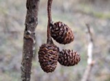 | Alnus incana subsp. rugosa (Du Roi) R.T.Clausen | 1900 | J. Murdoch, Jr. | Roxbury |
All 1,267 specimens within 10 miles, at the Global Biodiversity Information Facility.
Mines and quarries near this place
10 of 12 shownRegional context, not property-specific evidence. The federal mineral resources record lists 12 workings within 5 miles of Melrose: 4 plants, 4 past producers, 3 producers, 1 unknown. 7 still produce. What was taken out: Stone, Crushed/Broken, Silica, Copper, Lead, Peat. Distance is straight-line from the map coordinates, so a quarry counted here may appear on a neighbouring settlement's page as well.
| Where | Site | Commodity | Status | Recorded |
|---|---|---|---|---|
| (Facility) Vulcan Smelter--Chelsea, Ma. | Copper, Lead | Plant | ||
| Austin Hastings--Woburn, Ma. | Iron | Plant | ||
| Mahoney:S Rocky Ledge | Peat | Past Producer | Peat | |
| Rocky Ledge Pit | Clay | Past Producer | ||
| Ferro Ceramic Grinding--Wakefield | Silica | Plant | ||
| Syncor Prdts Co--Malden, Ma. | Silica | Plant | ||
| Malden Quarry | Stone, Crushed/Broken | Unknown | ||
| Malden Quarry | Stone, Crushed/Broken | Producer | ||
| Richardson Quarry | Stone, Crushed/Broken | Producer | ||
| Saugus Quarry | Stone, Crushed/Broken | Producer |
Storms near this place
4 since 2012Regional context, not property-specific evidence. The National Weather Service names Melrose in 4 storm reports between 2012 and 2020: 2 flood, 2 thunderstorm wind. No death or injury is recorded in these reports. Each account below is quoted exactly as the forecast office filed it, from the NOAA Storm Events Database, and each date opens the federal record of that event.
| When | Event | Place named | Harm | What the report says |
|---|---|---|---|---|
| August 2020 | Thunderstorm Wind | Melrose | $12,000 | In Wakefield, trees were down on Avon St and Green St. A tree was down on a house on Main St. near the lake. Myrtle Ave was blocked by 5 large trees downed. A tree was down on Commuter Rail train tracks. |
| August 2019 | Thunderstorm Wind | Melrose | $300 | In Melrose, a large tree branch and wires were down from strong winds. |
| October 2017 | Flood | Melrose | - | Flooding in Melrose at intersection of Larchmont Road and Porter Street. |
| June 2012 | Flood | Melrose | - | A car was stuck in flood waters under a railroad bridge. One person was trapped in the vehicle and rescued. |
Nearest settlements
The eight closest, with where each one stands in the county. Distances are straight-line, computed from the Geographic Names Information System coordinates.
| Map | Place | Distance | Sheets |
|---|---|---|---|
| Wyoming | 0.3 miles | 46 | |
| Melrose Highlands | 0.9 miles | 46 | |
| Fells | 1.2 miles | 46 | |
| Haywardville | 1.4 miles | 46 | |
| Greenwood | 1.6 miles | 46 | |
| Oak Grove | 1.7 miles | 46 | |
| Maplewood | 1.7 miles | 46 | |
| Faulkner | 2.1 miles | 46 |
Elsewhere
Matched on this settlement's Geographic Names Information System number rather than its name, so it cannot be a different place of the same name in another state.
| Wikipedia article on Melrose | An encyclopaedic summary. Its text is share-alike, so it is linked here rather than copied. |
| Wikidata item Q54143 | The structured record the population and elevation above come from. Public domain (CC0). |
Provenance
This settlement is recorded in the Geographic Names Information System as feature 612780. The sheet list is computed by point-in-boundary test against the United States Geological Survey's historical topographic inventory. Both are works of the United States government and carry no copyright under 17 U.S.C. 105.
Wildfire. Short, Karen C. 2022. Spatial wildfire occurrence data for the United States, 1992-2020 [FPA_FOD_20221014]. 6th Edition. Fort Collins, CO: Forest Service Research Data Archive. https://doi.org/10.2737/RDS-2013-0009.6 Collected with United States Government funding and usable without additional permissions or fees.
Specimens. Global Biodiversity Information Facility (GBIF), https://www.gbif.org/. Only records licensed CC0 or CC BY are used. Records licensed CC BY-NC are excluded because this site carries advertising. Images are checked individually and any whose licence is non-commercial, no-derivatives or unreadable is refused.
Mines and quarries. USGS Mineral Resources Data System (MRDS) https://mrdata.usgs.gov/mrds/ A work of the United States government, no copyright under 17 U.S.C. 105.
Storms. NOAA National Centers for Environmental Information, Storm Events Database https://www.ncei.noaa.gov/stormevents/ A work of the United States government, no copyright under 17 U.S.C. 105. Narratives are quoted verbatim from the National Weather Service report and are not edited or summarised.