 Block
Block
Mendon, Ohio
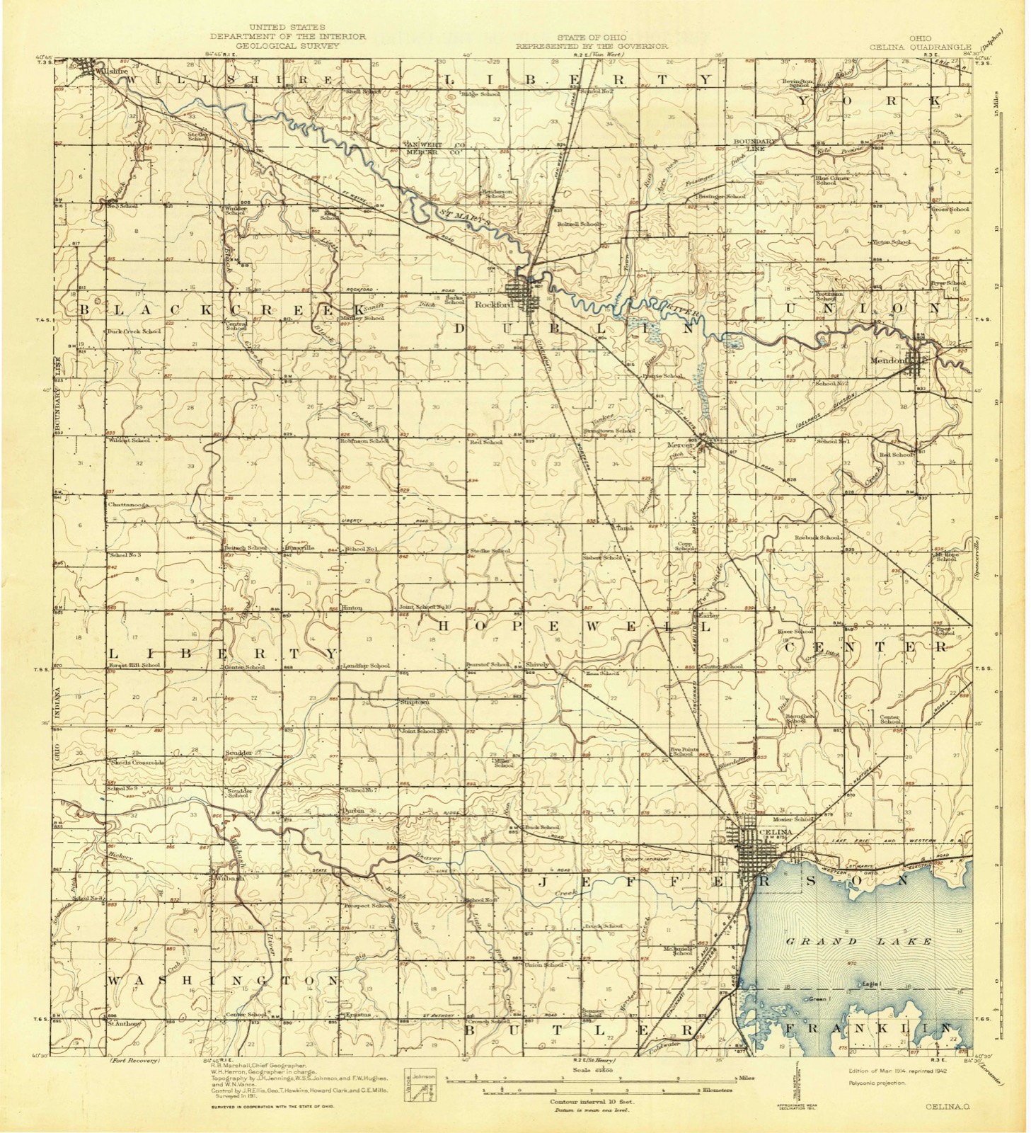
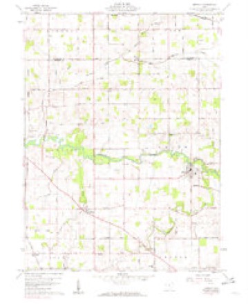
13 topographic sheets cover this place, the earliest surveyed in 1914 and the latest in 1986. It stands in Union Township. It lies in ZIP code area 45862. It stands on Twelvemile Creek. The Survey maps it on the Mendon quadrangle. 628 people lived here at the 2020 count. It stands 820 feet above sea level.
Population over time
2 figuresMendon fell from 662 to 628 between 2010 and 2020. These are the recorded population figures Wikidata holds for this place, reached through the Geographic Names Information System number this page is keyed on rather than by name, so they belong to this place and not to another of the same name. Most are census counts, but not all are: an early figure may be a founding or settlement estimate. The change column is computed, and is left blank where more than 20 years separate a figure from the one before it, because a gap that long is not a change between two counts.
| Year | People | Change |
|---|---|---|
| 2010 | 662 | |
| 2020 | 628 | -34 (-5%) |
Then and now
1914 to 1986The same ground, surveyed 72 years apart. Drag the handle to wipe between them. Both sheets are United States Geological Survey originals; neither has been altered.

Topographic sheets covering this place
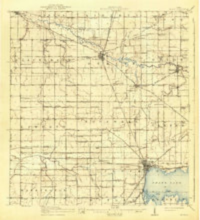
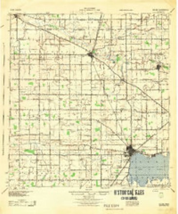
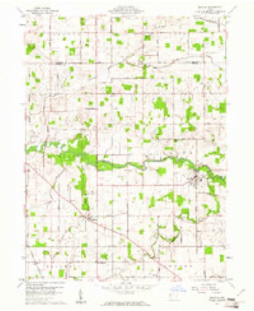
13 sheetsMatched by testing this settlement's coordinate against the published boundary of every sheet in the United States Geological Survey's historical collection. Each opens the scanned sheet at the Survey.
- 1914 USGS Celina quadrangle1:62500
- 1944 USGS Celina quadrangle1:62500
- 1953 USGS Muncie quadrangle1:250000
- 1953 USGS Muncie quadrangle1:250000
- 1953 USGS Muncie quadrangle1:250000
- 1953 USGS Muncie quadrangle1:250000
- 1953 USGS Muncie quadrangle1:250000
- 1956 USGS Muncie quadrangle1:250000
- 1960 USGS Mendon quadrangle1:24000
- 1960 USGS Mendon quadrangle1:24000
- 1986 USGS Lima quadrangle1:100000
- 1986 USGS Lima quadrangle1:100000
- 1986 USGS Lima quadrangle1:100000









In the county-history sources
2,768 words on this townshipHistory of Mercer County, Ohio, and Representative Citizens, published 1907 names this settlement in its chapter on Union Township. These are the passages that mention it, exactly as the scans read.
Abbey, James Watts, William McMichael and Daniel Murlin. Soon after this Thomas Upton became a resident of the township. In 1835 came John Tomlinson, John Ross, Wesley A. Parrott and his father, John Parrott, John E. Dutton and Resin P. Webb. In 1836 came John Edge. Early the same year came Jacob Panabaker, who located at Mendon (then known as Guilford), and built a saw and grist-mill on the St. Mary's River. Adam Panabaker came also the same year, as well as Asa Presho, Elhanan Porter, Job Harmon, Nathan Perry, Eleazer S. Wright and Robert Mortimore, who was a wheelwright by trade and devoted considerable time to making chairs, spinning wheels and reels for the early settlers.
Passage source: History of Mercer County, Ohio, and Representative Citizens, published 1907.
The Mendon and Wesley Methodist Episcopal churches in Union township, and the Tomlinson Methodist Episcopal Church in Van Wert County, are in one charge, which has been served by the following pastors since 1879, namely: Revs. Lemuel Herbert, John T. Bower, Rudolph R. Bryan, C. S.
Passage source: History of Mercer County, Ohio, and Representative Citizens, published 1907.
Union township has two Baptist churches - Pleasant Grove and Mendon. The Pleasant Grove Baptist Church was organized November 22, 1871, with four constituent members, to whom were added two more immediately after the organization. They were received into the Auglaize Baptist Association at its annual meeting held at Van Wert in 1872. It was called the Men don Church until 1879, when the present building site four miles northeast of Mendon, on the Spencerville road, was purchased, and the name was changed to Pleasant Grove. A meeting-house, costing $1,200, was completed thereon in 1881. The present value of the church property is estimated at $2,000. The present membership is 49. The following have served as pastors: Revs. J. H. Manning, G. C. Graham, W. H. Gallant, J.
Passage source: History of Mercer County, Ohio, and Representative Citizens, published 1907.
Machine-read from a century-old scan, so expect the errors a machine makes: misspelled names, dropped words, stray characters.
Read the whole chapter on Union Township - it names this place 9 more 9 times.
Specimens collected near this place
12 of 109 shownRegional context, not property-specific evidence. Museums hold 109 specimens collected within 10 miles of Mendon between 1888 and 1967: 104 Animalia, 4 Plantae, 1 Bacteria. 12 distinct Species records are shown. Collected by . R. Slonakerj, Brown, H P, Clark, C. F. (Clarence F.) and others. Each is a physical object with a catalogue number, and each entry opens the museum's record. This is what was collected and kept, not a survey of what lives here - nothing can be concluded from a species being absent.
| Image | Species | Year | Collected by | Where, as recorded |
|---|---|---|---|---|
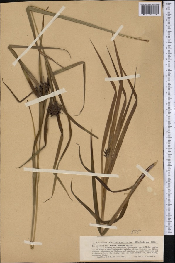 | Carex grayi J.Carey | 1903 | Wetzstein A. | |
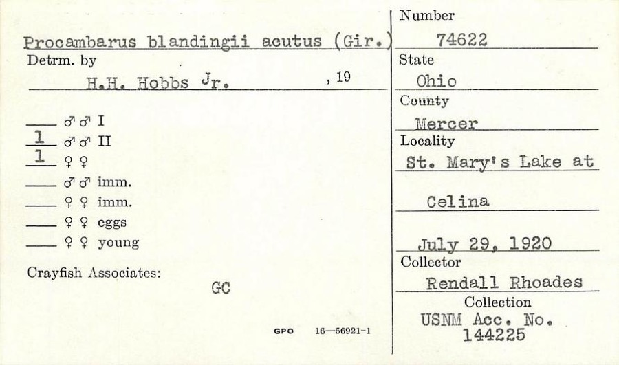 | Procambarus blandingii (Harlan, 1830) | 1920 | R. Rhoades | St. Marys Lake at Celina |
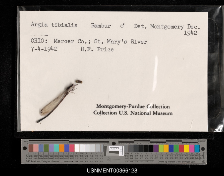 | Argia tibialis (Rambur, 1842) | 1942 | H. Price | St. Mary's River |
 | Ardea alba egretta Gmelin, 1789 | 1888 | J. R. Slonaker | Celina |
 | Calidris canutus (Linnaeus, 1758) | 1888 | J. R. Slonaker | Celina |
 | Ceryle alcyon alcyon Cramp & Simmons, 1977-1994 | 1888 | J. R. Slonaker | Celina |
 | Charadrius vociferus Linnaeus, 1758 | 1888 | J. R. Slonaker | Celina |
 | Cistothorus palustris dissaeptus Bangs, 1902 | 1888 | J. R. Slonaker | Celina |
 | Gallinago gallinago delicata (Ord, 1825) | 1888 | J. R. Slonaker | Celina |
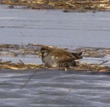 | Porzana carolina (Linnaeus, 1758) | 1888 | J.R.S. | Celina |
 | Tringa flavipes (J.F.Gmelin, 1789) | 1888 | J. R. Slonaker | Celina |
 | Tringa solitaria solitaria A.Wilson, 1813 | 1888 | J. R. Slonaker | Celina |
All 109 specimens within 10 miles, at the Global Biodiversity Information Facility.
Storms near this place
24 since 2001Regional context, not property-specific evidence. The National Weather Service names Mendon in 24 storm reports between 2001 and 2026: 10 flood, 8 hail, 5 thunderstorm wind, 1 flash flood. No death or injury is recorded in these reports. Each account below is quoted exactly as the forecast office filed it, from the NOAA Storm Events Database, and each date opens the federal record of that event.
| When | Event | Place named | Harm | What the report says |
|---|---|---|---|---|
| June 2013 | Thunderstorm Wind | Mendon | $50,000 | A roof was blow off of a home. A tree was blown onto another roof of the home. A radio antenna was blown down, and a large steel barn collapsed due to thunderstorm winds. |
| May 2009 | Thunderstorm Wind | Mendon | $10,000 | Vinyl siding was removed off a house along State Route 117. Large tree limbs were also downed. |
| August 2003 | Thunderstorm Wind | Mendon | $10,000 | Tree limbs were downed. A few barns had roofs blown off in Rockford. |
| May 2009 | Flash Flood | Mendon | $5,000 | High water rushing rapidly over State Route 117. Several other roads flooded and closed across northeast Mercer County. A few drainage ditches were overflowing as well. |
| June 2022 | Thunderstorm Wind | Mendon | $3,000 | Roof damage occurred to a house on South Wayne Street. |
| April 2024 | Flood | Mendon | - | A few roads were closed due to high water. |
| June 2019 | Flood | Mendon | - | Numerous roads across Mercer County were closed due to flooding, causing the county to run out of high water/road closed signs. |
| July 2017 | Flood | Mendon | - | High water was reported in parts of the Mendon area. |
| July 2017 | Flood | Mendon | - | Water was reported up to the wheel wells of a vehicle on Market Street. |
| June 2015 | Flood | Mendon | - | Ohio State Route 707 was closed between U.S. 127 and State Route 117. |
| June 2015 | Flood | Mendon | - | Celina Mendon Road closed between Mercer Road and Neptune Mendon Road due to high water. |
| June 2015 | Flood | Mendon | - | Neptune Mendon Road was closed between Thomas Road and Denny Road due to flooding. |
| June 2015 | Flood | Mendon | - | Mercer Road was closed between Neptune Mendon Road and Celina Mendon Road due to flooding. |
| June 2015 | Flood | Mendon | - | Neptune Mendon Road was closed between Mercer Road and Celina Mendon Road due to high water. |
| June 2015 | Flood | Mendon | - | Deepcut Road closed between Route 707 and Evans Rd due to flooding. |
| July 2001 | Thunderstorm Wind | Mendon | - | Thunderstorms produced strong winds which knocked down trees. |
| March 2026 | Hail | Mendon | - | no account filed |
| July 2017 | Hail | Mendon | - | no account filed |
| April 2015 | Hail | Mendon | - | no account filed |
| April 2011 | Hail | Mendon | - | no account filed |
| April 2011 | Hail | Mendon | - | no account filed |
| May 2011 | Hail | Mendon | - | no account filed |
| May 2001 | Hail | Mendon | - | no account filed |
| May 2001 | Hail | Mendon | - | no account filed |
Nearest settlements
The eight closest, with where each one stands in the county. Distances are straight-line, computed from the Geographic Names Information System coordinates.
| Map | Place | Distance | Sheets |
|---|---|---|---|
| Mercer | 3.8 miles | 13 | |
| Neptune | 5.1 miles | 14 | |
| Earley (historical) | 5.7 miles | 14 | |
| Tama | 6.0 miles | 13 | |
| Rockford | 6.8 miles | 12 | |
| Summit Court | 8.5 miles | 14 | |
| Idlewild | 8.6 miles | 14 | |
| Shively | 8.6 miles | 13 |
Elsewhere
Matched on this settlement's Geographic Names Information System number rather than its name, so it cannot be a different place of the same name in another state.
| Wikipedia article on Mendon | An encyclopaedic summary. Its text is share-alike, so it is linked here rather than copied. |
| Wikidata item Q2672473 | The structured record the population and elevation above come from. Public domain (CC0). |
Provenance
This settlement is recorded in the Geographic Names Information System as feature 1085474. The sheet list is computed by point-in-boundary test against the United States Geological Survey's historical topographic inventory. Both are works of the United States government and carry no copyright under 17 U.S.C. 105.
Specimens. Global Biodiversity Information Facility (GBIF), https://www.gbif.org/. Only records licensed CC0 or CC BY are used. Records licensed CC BY-NC are excluded because this site carries advertising. Images are checked individually and any whose licence is non-commercial, no-derivatives or unreadable is refused.
Storms. NOAA National Centers for Environmental Information, Storm Events Database https://www.ncei.noaa.gov/stormevents/ A work of the United States government, no copyright under 17 U.S.C. 105. Narratives are quoted verbatim from the National Weather Service report and are not edited or summarised.