 Block
Block
Mercer, Ohio
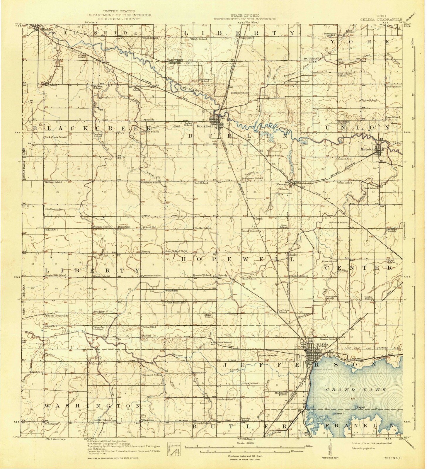
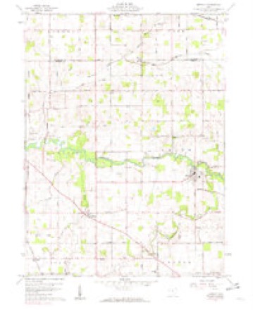
13 topographic sheets cover this place, the earliest surveyed in 1914 and the latest in 1986. It stands in Dublin Township. It lies in ZIP code area 45862. The Survey maps it on the Mendon quadrangle.
Then and now
1914 to 1986The same ground, surveyed 72 years apart. Drag the handle to wipe between them. Both sheets are United States Geological Survey originals; neither has been altered.

Topographic sheets covering this place
13 sheetsMatched by testing this settlement's coordinate against the published boundary of every sheet in the United States Geological Survey's historical collection. Each opens the scanned sheet at the Survey.
- 1914 USGS Celina quadrangle1:62500
- 1944 USGS Celina quadrangle1:62500
- 1953 USGS Muncie quadrangle1:250000
- 1953 USGS Muncie quadrangle1:250000
- 1953 USGS Muncie quadrangle1:250000
- 1953 USGS Muncie quadrangle1:250000
- 1953 USGS Muncie quadrangle1:250000
- 1956 USGS Muncie quadrangle1:250000
- 1960 USGS Mendon quadrangle1:24000
- 1960 USGS Mendon quadrangle1:24000
- 1986 USGS Lima quadrangle1:100000
- 1986 USGS Lima quadrangle1:100000
- 1986 USGS Lima quadrangle1:100000









In the county-history sources
5,852 words on this townshipHistory of Mercer County, Ohio, and Representative Citizens, published 1907 names this settlement in its chapter on Dublin Township. These are the passages that mention it, exactly as the scans read.
The township has two railroads. The Cincinnati Northern, which has for its southern terminus, Cincinnati and for its northern, Jackson, Michigan, passes through Rockford, which is the market for the entire northern part of the county and the only town of any importance in the township. A branch of the Cincinnati, Hamilton & Dayton Railway passes through Mercer, a settlement in the southeastern corner of the township. This section of the county is, therefore, afforded good shipping facilities. The first railroad built in the township was the old Toledo, Delphos & Burlington Railroad, a narrow-gauge line, from Delphos to Rockford by the way of Mercer, with the main line running from Delphos to Dayton, via Celina. In a few years, however, the branch froni Mercer to Rockford was abandoned. Tbe main line at a later date was absorbed by the Cincinnati, Hamilton & Dayton Railway and became a standard-gauge road.
Passage source: History of Mercer County, Ohio, and Representative Citizens, published 1907.
James F. Mounts, M. M. Markwith, C. B. Hickernell, William Dunlap, Jesse Carr, William Hook, J. D. Simons, Jefferson Williams, M. M. Markwith, G. H. Priddy and W. W. Curl, pastor since 1903, who resides in the parsonage totals 319. There are 300 scholars and 40 officers and teachers in the two Sunday-schools, with an average attendance of 250. The Methodist Episcopal Church at Rockford was organized many years ago. The church has a splendid brick structure. The church at Mercer was built not a great many years ago and is a very nice, modern, brick building, whose erection was mainly due to that eminent Christian man, Jacob Counterman, who was a stanch supporter of Methodism.
Passage source: History of Mercer County, Ohio, and Representative Citizens, published 1907.
The Mercer Baptist Church was first organized in 1845, but later became extinct. During this period the church was served by Revs. J. G. Van Valkenburg, Henry Gordon and J. Jackson. The present organization was effected in 1875, in which year a meeting-house was built. The church has a present membership of 68. The church property is worth about $2,000. The following pastors have served the church from the reorganization to the present time: Revs. G. C. Graham, W. H. Gallant, J. H. Manning, H. F. Perry, B. F. Tucker, V. D. Willard, G. B. Jackson, J. F. Smith, A. W. Yale, J. F. C. Sherich and J. C. Kazee, the present pastor.
Passage source: History of Mercer County, Ohio, and Representative Citizens, published 1907.
Machine-read from a century-old scan, so expect the errors a machine makes: misspelled names, dropped words, stray characters.
Read the whole chapter on Dublin Township - it names this place 7 more 7 times.
Photographs
1 photograph,Taken for the Office of War Information and the Farm Security Administration, who photographed the country between 1935 and 1944. Works of United States government photographers, with no known restriction on use. Each opens its catalogue record.
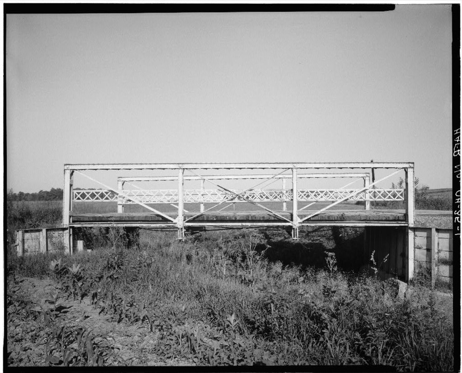
Unattributed, . Library of Congress
Specimens collected near this place
12 of 210 shownRegional context, not property-specific evidence. Museums hold 210 specimens collected within 10 miles of Mercer between 1840 and 1973: 206 Animalia, 3 Plantae, 1 Bacteria. 12 distinct Species records are shown. Collected by . R. Slonakerj, Adler, K. K., Brown, H P and others. Each is a physical object with a catalogue number, and each entry opens the museum's record. This is what was collected and kept, not a survey of what lives here - nothing can be concluded from a species being absent.
| Image | Species | Year | Collected by | Where, as recorded |
|---|---|---|---|---|
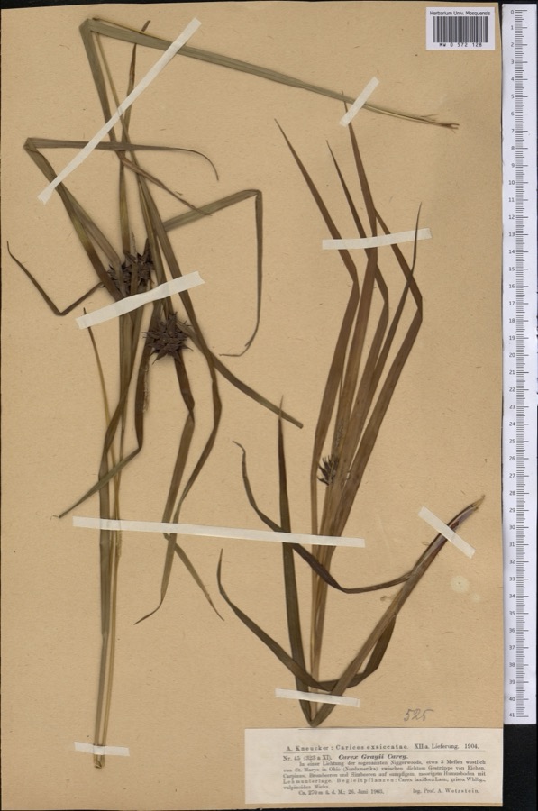 | Carex grayi J.Carey | 1903 | Wetzstein A. | |
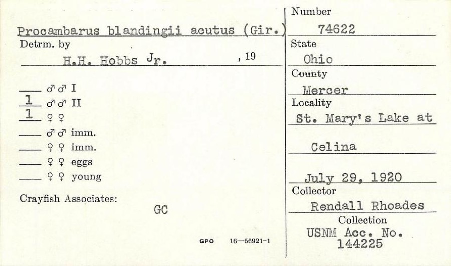 | Procambarus blandingii (Harlan, 1830) | 1920 | R. Rhoades | St. Marys Lake at Celina |
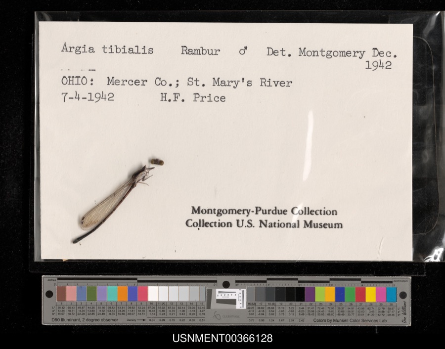 | Argia tibialis (Rambur, 1842) | 1942 | H. Price | St. Mary's River |
 | Silene virginica L. | 1840 | J. Wolle, D. Blum | |
 | Ardea alba egretta Gmelin, 1789 | 1888 | J. R. Slonaker | Celina |
 | Calidris canutus (Linnaeus, 1758) | 1888 | J. R. Slonaker | Celina |
 | Ceryle alcyon alcyon Cramp & Simmons, 1977-1994 | 1888 | J. R. Slonaker | Celina |
 | Charadrius vociferus Linnaeus, 1758 | 1888 | J. R. Slonaker | Celina |
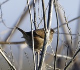 | Cistothorus palustris dissaeptus Bangs, 1902 | 1888 | J. R. Slonaker | Celina |
 | Gallinago gallinago delicata (Ord, 1825) | 1888 | J. R. Slonaker | Celina |
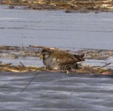 | Porzana carolina (Linnaeus, 1758) | 1888 | J.R.S. | Celina |
 | Tringa flavipes (J.F.Gmelin, 1789) | 1888 | J. R. Slonaker | Celina |
All 210 specimens within 10 miles, at the Global Biodiversity Information Facility.
Storms near this place
8 since 2008Regional context, not property-specific evidence. The National Weather Service names Mercer in 8 storm reports between 2008 and 2021: 5 flood, 3 thunderstorm wind. No death or injury is recorded in these reports. Each account below is quoted exactly as the forecast office filed it, from the NOAA Storm Events Database, and each date opens the federal record of that event.
| When | Event | Place named | Harm | What the report says |
|---|---|---|---|---|
| August 2018 | Thunderstorm Wind | Mercer | $10,000 | A semi-trailer carrying a mostly empty load flipped on U.S. 33 near Celina-Mendon Road. |
| August 2008 | Thunderstorm Wind | Mercer | $8,000 | A barn sustained roof damage. |
| August 2014 | Thunderstorm Wind | Mercer | $1,000 | A large tree was blown down near the intersections of U.S. routes 33 and 127. |
| March 2021 | Flood | Mercer | - | High water was reported along U.S. Route 127 near the St. Marys River. |
| May 2017 | Flood | Mercer | - | Tama Road between US 127 and Stose Road was closed due to high water. |
| June 2015 | Flood | Mercer | - | U.S. 127 was closed south of Dutton Road due to high water. |
| June 2015 | Flood | Mercer | - | Tama Road was closed between State Route 127 and Stose Road due to flooding. |
| June 2015 | Flood | Mercer | - | Dutton Road closed between Route 127 and Palmer Road due to flooding. |
Nearest settlements
The eight closest, with where each one stands in the county. Distances are straight-line, computed from the Geographic Names Information System coordinates.
| Map | Place | Distance | Sheets |
|---|---|---|---|
| Tama | 2.3 miles | 13 | |
| Earley (historical) | 3.0 miles | 14 | |
| Mendon | 3.8 miles | 13 | |
| Rockford | 4.0 miles | 12 | |
| Shively | 5.2 miles | 13 | |
| Neptune | 6.1 miles | 14 | |
| Summit Court | 6.6 miles | 14 | |
| Abbeywood Estates | 6.8 miles | 14 |
Elsewhere
Matched on this settlement's Geographic Names Information System number rather than its name, so it cannot be a different place of the same name in another state.
| Wikipedia article on Mercer | An encyclopaedic summary. Its text is share-alike, so it is linked here rather than copied. |
| Wikidata item Q22133965 | The structured record the population and elevation above come from. Public domain (CC0). |
Provenance
This settlement is recorded in the Geographic Names Information System as feature 1061509. The sheet list is computed by point-in-boundary test against the United States Geological Survey's historical topographic inventory. Both are works of the United States government and carry no copyright under 17 U.S.C. 105.
Specimens. Global Biodiversity Information Facility (GBIF), https://www.gbif.org/. Only records licensed CC0 or CC BY are used. Records licensed CC BY-NC are excluded because this site carries advertising. Images are checked individually and any whose licence is non-commercial, no-derivatives or unreadable is refused.
Storms. NOAA National Centers for Environmental Information, Storm Events Database https://www.ncei.noaa.gov/stormevents/ A work of the United States government, no copyright under 17 U.S.C. 105. Narratives are quoted verbatim from the National Weather Service report and are not edited or summarised.