 Block
Block
Menemsha, Massachusetts
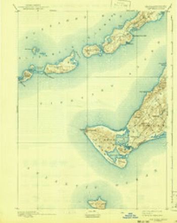
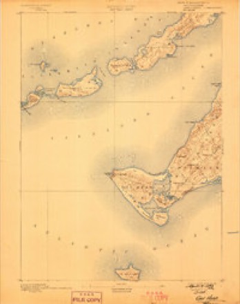
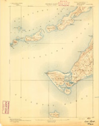
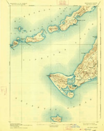
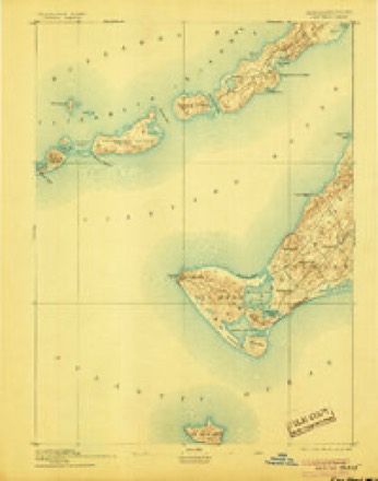
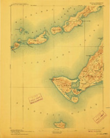
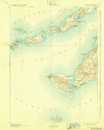
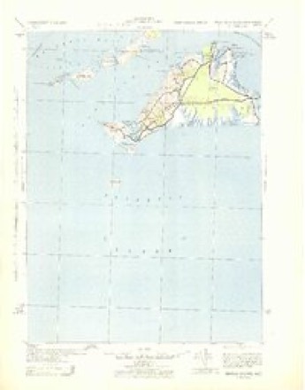
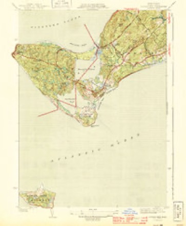
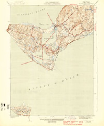
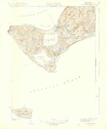
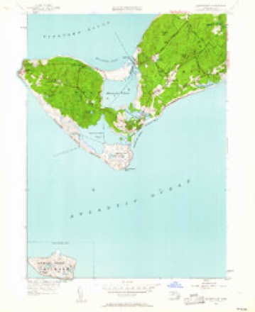
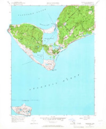
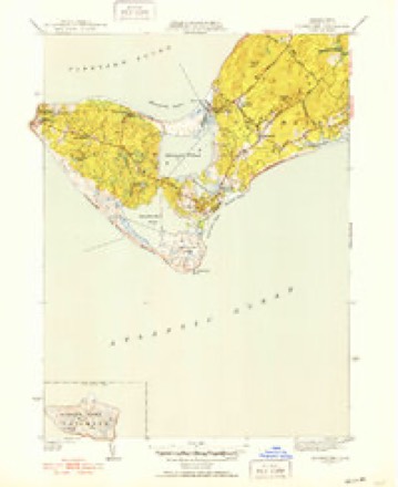
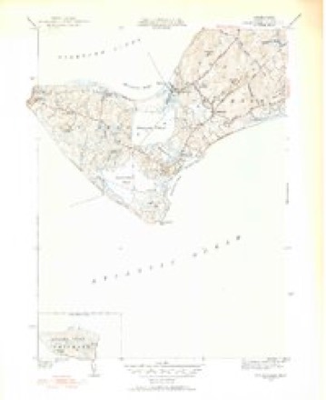
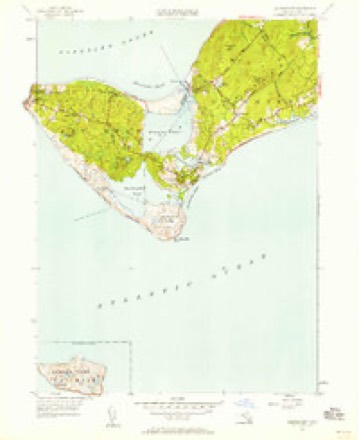
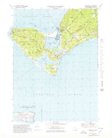
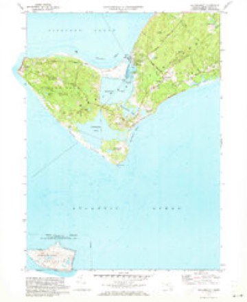
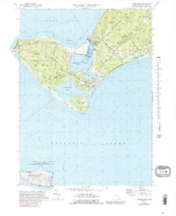
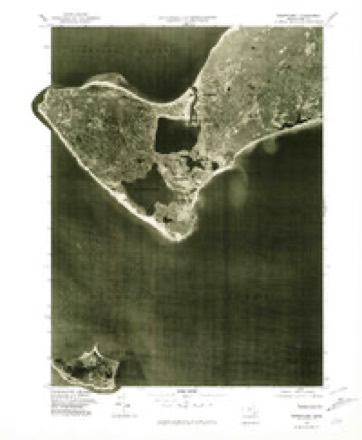
33 topographic sheets cover this place, the earliest surveyed in 1887 and the latest in 1994. It stands in Chilmark town. It lies in ZIP code area 02535. It stands on Menemsha Creek. The Survey maps it on the Squibnocket quadrangle.
Then and now
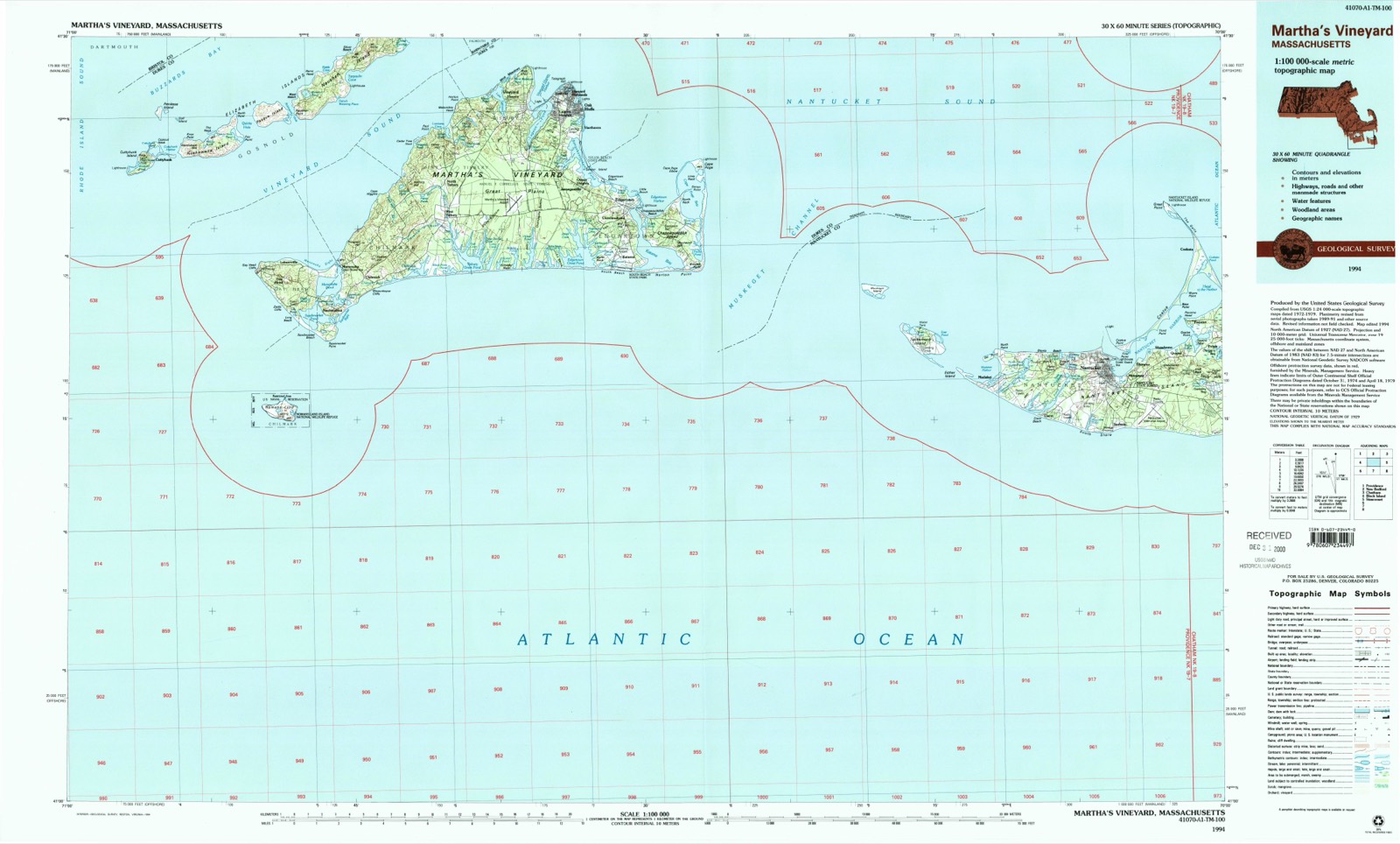
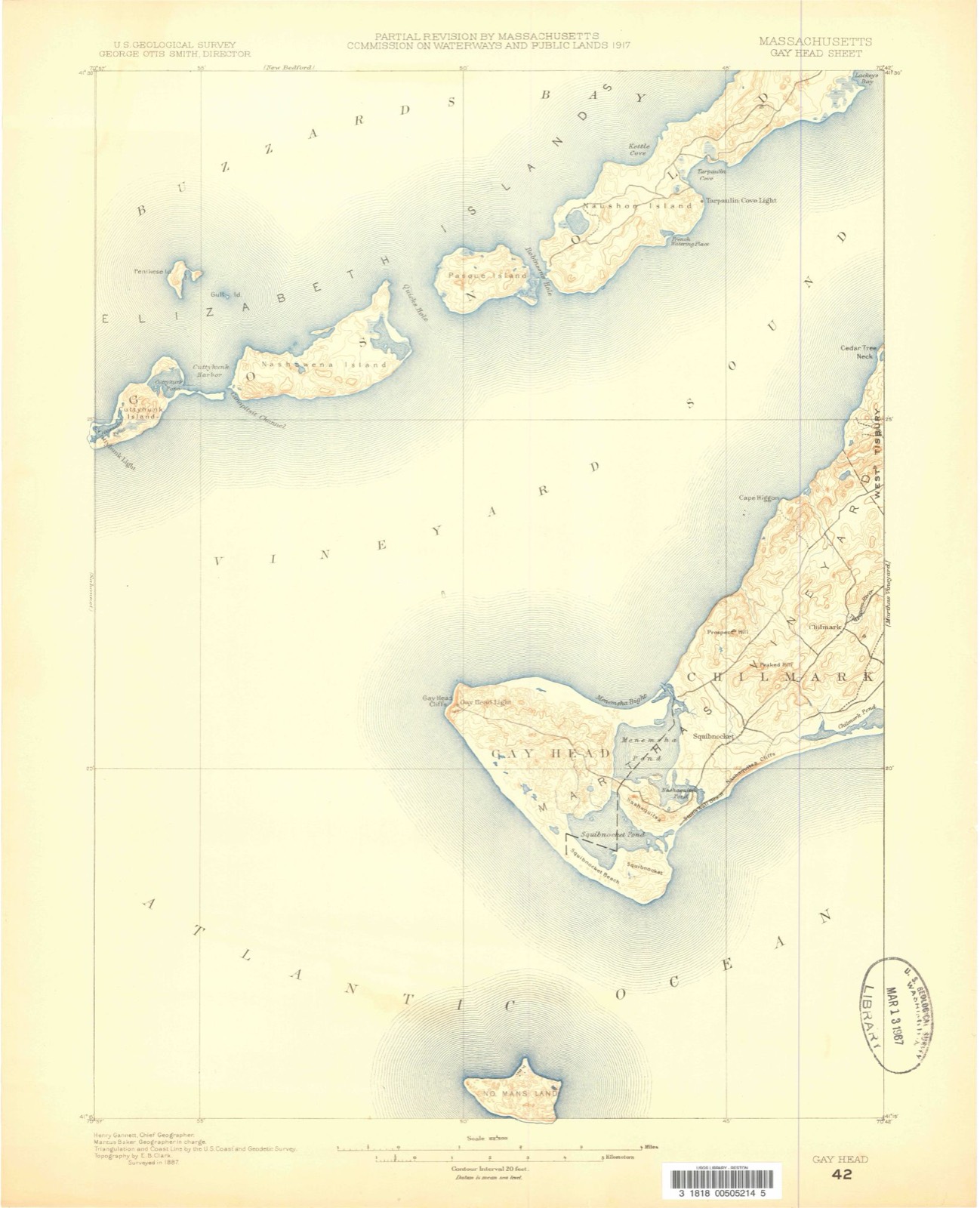
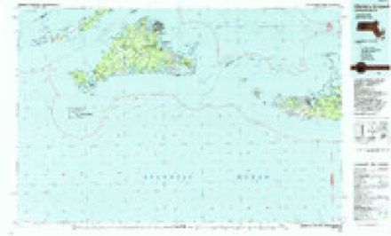
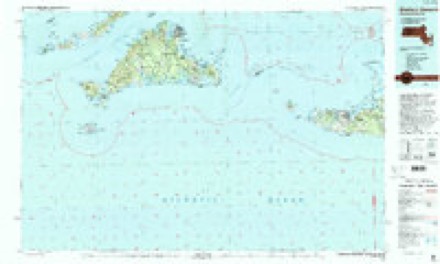
1887 to 1994The same ground, surveyed 107 years apart. Drag the handle to wipe between them. Both sheets are United States Geological Survey originals; neither has been altered.
Topographic sheets covering this place
33 sheetsMatched by testing this settlement's coordinate against the published boundary of every sheet in the United States Geological Survey's historical collection. Each opens the scanned sheet at the Survey.
- 1887 USGS Gay Head quadrangle1:62500
- 1889 USGS Gay Head quadrangle1:62500
- 1893 USGS Gay Head quadrangle1:62500
- 1893 USGS Gay Head quadrangle1:62500
- 1893 USGS Gay Head quadrangle1:62500
- 1893 USGS Gay Head quadrangle1:62500
- 1893 USGS Gay Head quadrangle1:62500
- 1893 USGS Gay Head quadrangle1:62500
- 1893 USGS Gay Head quadrangle1:62500
- 1942 USGS Marthas Vineyard quadrangle1:125000
- 1944 USGS Squibnocket quadrangle1:31680
- 1944 USGS Squibnocket quadrangle1:31680
- 1944 USGS Squibnocket quadrangle1:31680
- 1947 USGS Providence quadrangle1:250000
- 1947 USGS Providence quadrangle1:250000
- 1947 USGS Providence quadrangle1:250000
- 1947 USGS Providence quadrangle1:250000
- 1947 USGS Providence quadrangle1:250000
- 1948 USGS Providence quadrangle1:250000
- 1951 USGS Squibnocket quadrangle1:24000
- 1951 USGS Squibnocket quadrangle1:24000
- 1951 USGS Squibnocket quadrangle1:31680
- 1951 USGS Squibnocket quadrangle1:31680
- 1951 USGS Squibnocket quadrangle1:24000
- 1957 USGS Providence quadrangle1:250000
- 1958 USGS Providence quadrangle1:250000
- 1963 USGS Providence quadrangle1:250000
- 1972 USGS Squibnocket quadrangle1:25000
- 1972 USGS Squibnocket quadrangle1:24000
- 1972 USGS Squibnocket quadrangle1:24000
- 1977 USGS Squibnocket quadrangle1:25000
- 1986 USGS Martha's Vineyard quadrangle1:100000
- 1994 USGS Martha's Vineyard quadrangle1:100000









In the county-history sources
24,949 words on this townshipThe History of Martha's Vineyard, Dukes County, Massachusetts, published 1911 names this settlement in its chapter on Chilmark Town. These are the passages that mention it, exactly as the scans read.
Menemsha. - Monamesha, Unanemshie and Manamshounk are variations of this name in the records. "Westermost land of Nope (alias) Martin's Vineyard which land is distinguished or bounded from the rest of the land of Martin's Vineyard by a certain creek called by the name of Manamshounk, which land is called by the Indians Aquinnah & by the English Gay Head" (Deeds, III, 12). The name originally did not belong to the creek or the pond, but probably indicated a standing tree or pole placed on one of the hills near the creek, or it may have been the name of the locality itself, "as seen from afar." The terminal -unk is an inseparable generic denoting a solitary standing tree, while the adjectival prefix signifies "a vision" (Massachusetts). The reading would therefore be, "the observation tree or pole," erected for the purpose of signalling, when the whales were in sight. Monamansu-auke, meaning, "place of observation," may apply to Prospect hill, the highest on the Vineyard in the region of the Menemsha pond.
Passage source: The History of Martha's Vineyard, Dukes County, Massachusetts, published 1911.
Wawaytick. - This was the name of the creek which empties Menemsha pond into the Bight. The first occurence of the work is in the patent of Tisbury Manor, under date of July 8, 1671: "the Harbour on the North side of the Island called Wawattick." In Kendall's "Travels" (1807) it is spoken of as "Wawaytick Creek which runs from Menemsha Pond." In all Algonquian dialects Wawi indicates "round" because it refers to the shape of an egg, called by the same word. The last syllable -tukq, tick, is defined as a tidal inlet, or creek, and the whole in its application is freely rendered as ''round, or winding-about, creek; the winding creek," which is a correct description of this crooked stream (Deeds
Passage source: The History of Martha's Vineyard, Dukes County, Massachusetts, published 1911.
Beetle Bung Corner. - The junction of the Middle road and the Menemsha road has been called by this curious name for nearly two hundred years. A clump of hornbeam trees growing near this spot gave it the name of Beetle Bound Tree corner as early as 1729 (Deeds V, 67), because the trees marked a boundary. The name Beetle "Bung" corner is a clumsy and meaningless corruption of the original signification of the name. Hornbeam wood was used then in the manufacture of beetles for loosening the bungs of casks and hogsheads, and the trees were sometimes called beetlewood trees.
Passage source: The History of Martha's Vineyard, Dukes County, Massachusetts, published 1911.
Machine-read from a century-old scan, so expect the errors a machine makes: misspelled names, dropped words, stray characters.
Read the whole chapter on Chilmark Town - it names this place 7 more 7 times.
Fires near this place
1 since 2018Regional context, not property-specific evidence. The federal wildfire occurrence database lists 1 fire within 5 miles of Menemsha between 2018 and 2018, burning about 0 acres in total. None started naturally. None was recorded as arson. Distance is straight-line from the map coordinates, so a fire counted here may appear on a neighbouring settlement's page as well.
| Reported cause | Fires |
|---|---|
| Debris and open burning | 1 |
The most recent of them, most recent first, with the day each was reported and the service that recorded it.
| Date | Cause | Size | Reported by | Name on the report |
|---|---|---|---|---|
| 21 April 2018 | Debris and open burning | under an acre | Massachusetts Bureau of Forest Fire Control | not named |
Settlements close enough to share some of these fires:
Specimens collected near this place
12 of 6,858 shownRegional context, not property-specific evidence. Museums hold 6,858 specimens collected within 10 miles of Menemsha between 1828 and 1975: 5,285 Animalia, 1,104 Plantae, 204 Chromista, 172 Unrecorded, 62 Fungi, 28 Bacteria, 3 Protozoa. 12 distinct Species records are shown. Collected by A AND P STARRETT, A., A. B. Hervey and others. Each is a physical object with a catalogue number, and each entry opens the museum's record. This is what was collected and kept, not a survey of what lives here - nothing can be concluded from a species being absent.
| Image | Species | Year | Collected by | Where, as recorded |
|---|---|---|---|---|
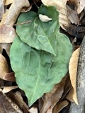 | Tipularia discolor (Pursh) Nutt. | 1828 | Oakes | Martha's Vineyard |
 | Acteocina canaliculata (Say, 1826) | 1871 | United States Fish Commission | Off Gay Head |
 | Actinococcus subcutaneus (Lyngbye ex Hornemann) Rosenvinge | 1871 | W. G. Farlow | Gay Head |
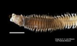 | Alitta succinea (Leuckart, 1847) | 1871 | U.S. Fish Commission | Naushon Island |
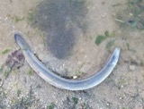 | Anguilla rostrata (Lesueur, 1817) | 1871 | U.S. Fish Commission | Vineyard Sound |
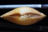 | Astarte crenata (J.E.Gray, 1824) | 1871 | United States Fish Commission | Off Gay Head and Edgartown |
 | Astyris lunata (Say, 1826) | 1871 | United States Fish Commission | Great Harbor, Gay Head [=Aquinnah] |
| Callithamnion plumula (J.Ellis) Lyngbye | 1871 | W. G. Farlow | Martha's Vineyard, Gay Head | |
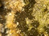 | Chaetomorpha linum (O.F.Müll.) Kütz. | 1871 | W. G. Farlow | Martha's Vineyard, Gay Head |
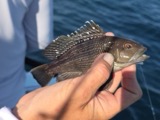 | Centropristis striata (Linnaeus, 1758) | 1899 | B. Bean | Menemsha Bight |
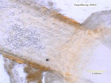 | Echinorhynchus Zoega, 1776 | 1899 | E. Linton | Martha's Vineyard |
 | Microtus breweri (Baird, 1857) | 1899 | BANGS, O. | MUSKEGET IS |
All 6,858 specimens within 10 miles, at the Global Biodiversity Information Facility.
Storms near this place
1 since 1995Regional context, not property-specific evidence. The National Weather Service names Menemsha in 1 storm report between 1995 and 1995: 1 thunderstorm wind. No death or injury is recorded in these reports. Each account below is quoted exactly as the forecast office filed it, from the NOAA Storm Events Database, and each date opens the federal record of that event.
| When | Event | Place named | Harm | What the report says |
|---|---|---|---|---|
| July 1995 | Thunderstorm Wind | Menemsha | - | A fast moving sqaull line of severe thunderstorms caused numerous reports of damaging winds in the western two-thirds of Massachusetts and more scattered reports of damage farther east. The storms were part of a major mesoscale convective complex (derecho) which had tracked across the Great Lakes region and New York state during the early morning hours. The line of storms entered Berkshire County at about 0700 local time and raced to the southeast portion of the state, including Cape Cod and the islands by around 0930. There was widespread damage to trees and power lines in Berkshire, Franklin, Hampshire, and Hampden Counties. in Burkshire, a woman was injured in Pittsfield when a tree fell on her car. A wind gust of 92 mph was reported from the town of Otis, where a woman was killed by electrocution while standing in wet grass after an electric power line fell and caught fire. A tree fell on a house in North Adams and a wall of a mall was blown out in Lenoxdale. In Franklin, Hampshire, and Hampden Counties, some of the most severe damage occurred in the hill towns or in the higher elevations. Widespread power outages and roads blocked by fallen trees prompted authorities to declare states of emergency in five towns, including Greenfield, Huntington, Ashfield, Conway, and Middlefield. About 30,000 electric customers lost power and a power company in western Massachusetts reported outages in 57 out of 59 of the towns that they serve. Thousands of people remained without power more than 48 hours after the storms moved through, especially in the rural towns which took the brunt of the high winds. In Holyoke, 50 people were left homeless after winds gusting to 70 mph blew the roof off of their apartment building. Three people were injured in Deerfield after their hot air balloon was caught by the winds and went spinning out of control for five miles before crashing into a tree. In Charlemont, a six-year-old boy was injured by lightning while talking on the telephone during the storm. Falling trees and tree limbs damaged houses, barns, and automobiles throughout the area. Scattered wind damage and power outages occurred in the central and eastern portions of the state. Several thousand power outages were reported from central Massachusetts. A peak gust of 59 mph was recorded at the Worcester Municipal Airport at 0804 local time while a peak gust to 85 mph was reported from Upton, just to the southeast of Worcester. In northern Worcester County, a peak gust to 72 mph was recorded at the Fitchburg Airport. Generally, though, most wind gusts were reported to be in the range of 50 to 65 mph. The Blue Hill Observatory, at an elevation of 635 feet in Milton recorded a peak gust to 63 mph. The intensity of the storms was diminishing upon reaching coastal sections of the state, but even Menemsha on Martha's Vineyard recorded a gust to 58 mph and many tree limbs were reported blown down throughout the greater New Bedford area. |
Nearest settlements
The eight closest, with where each one stands in the county. Distances are straight-line, computed from the Geographic Names Information System coordinates.
| Map | Place | Distance | Sheets |
|---|---|---|---|
| Chilmark | 1.2 miles | 33 | |
| Lobsterville | 1.8 miles | 33 | |
| Nashaquitsa | 2.1 miles | 33 | |
| Gay Head | 2.7 miles | 33 | |
| Indian Lands | 3.0 miles | 33 | |
| Squibnocket | 3.1 miles | 33 | |
| Nabs Corner | 4.5 miles | 34 | |
| West Tisbury | 5.2 miles | 33 |
Provenance
This settlement is recorded in the Geographic Names Information System as feature 615222. The sheet list is computed by point-in-boundary test against the United States Geological Survey's historical topographic inventory. Both are works of the United States government and carry no copyright under 17 U.S.C. 105.
Wildfire. Short, Karen C. 2022. Spatial wildfire occurrence data for the United States, 1992-2020 [FPA_FOD_20221014]. 6th Edition. Fort Collins, CO: Forest Service Research Data Archive. https://doi.org/10.2737/RDS-2013-0009.6 Collected with United States Government funding and usable without additional permissions or fees.
Specimens. Global Biodiversity Information Facility (GBIF), https://www.gbif.org/. Only records licensed CC0 or CC BY are used. Records licensed CC BY-NC are excluded because this site carries advertising. Images are checked individually and any whose licence is non-commercial, no-derivatives or unreadable is refused.
Storms. NOAA National Centers for Environmental Information, Storm Events Database https://www.ncei.noaa.gov/stormevents/ A work of the United States government, no copyright under 17 U.S.C. 105. Narratives are quoted verbatim from the National Weather Service report and are not edited or summarised.