 Block
Block
Squibnocket, Massachusetts
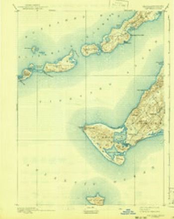
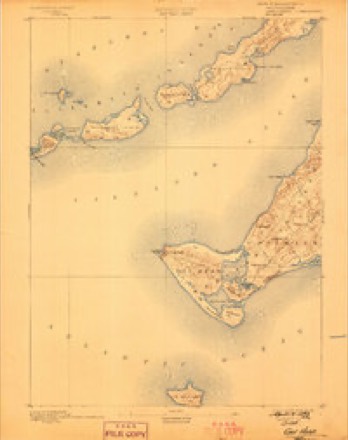
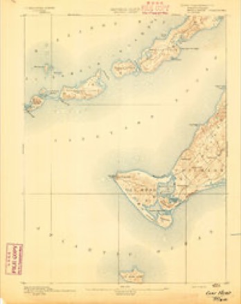
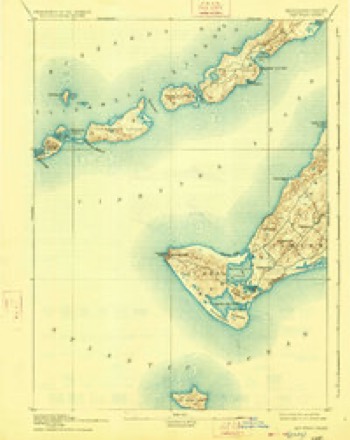
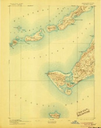
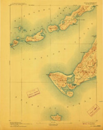
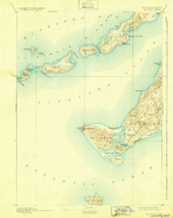
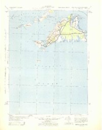
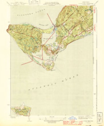
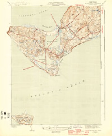
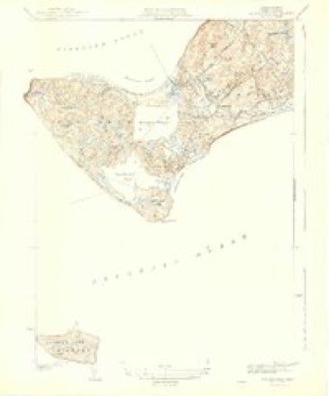
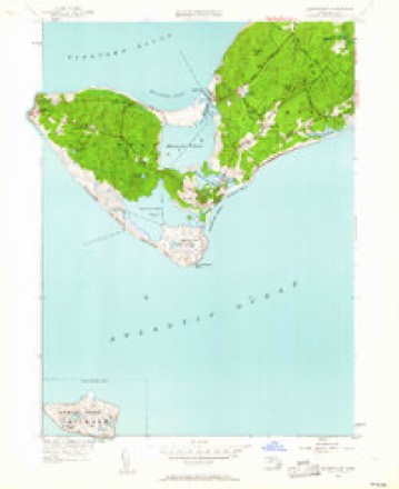
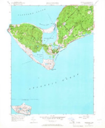
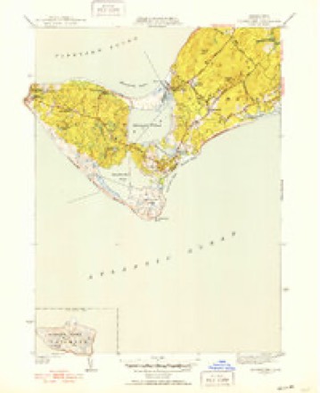
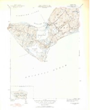
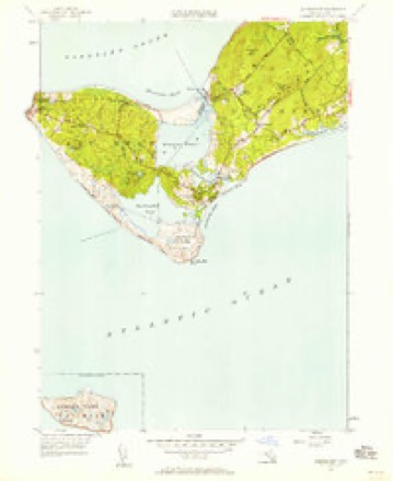
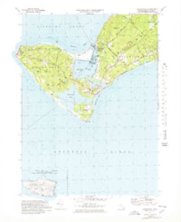
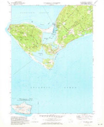
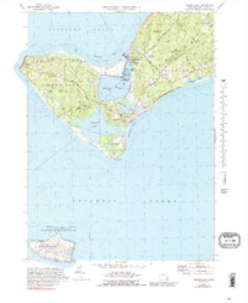
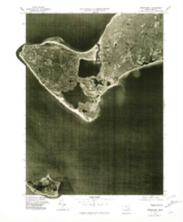
33 topographic sheets cover this place, the earliest surveyed in 1887 and the latest in 1994. It stands in Chilmark town. It lies in ZIP code area 02535. It stands on Squibnocket Ridge. The Survey maps it on the Squibnocket quadrangle.
Then and now
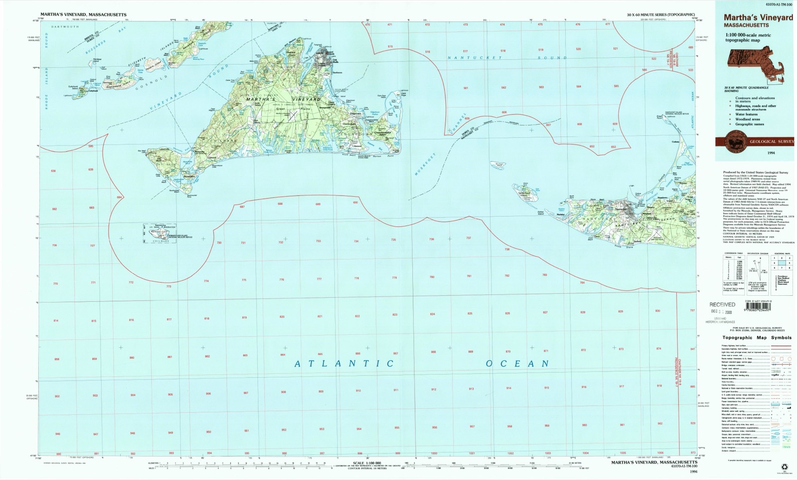
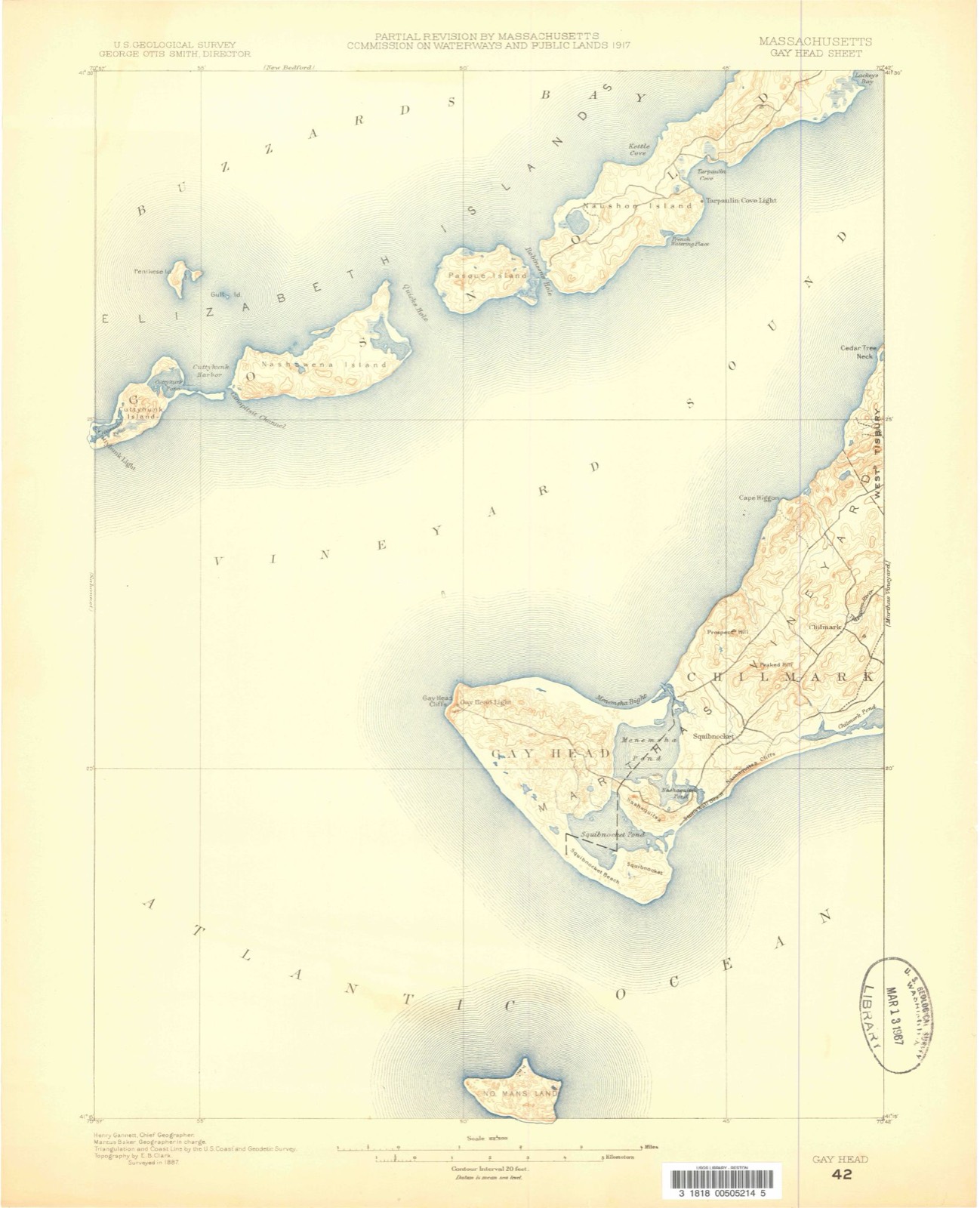
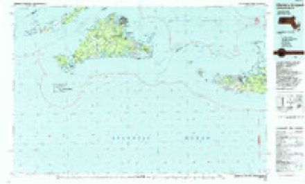
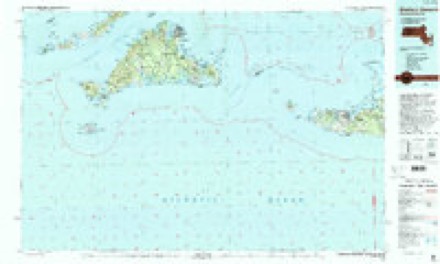
1887 to 1994The same ground, surveyed 107 years apart. Drag the handle to wipe between them. Both sheets are United States Geological Survey originals; neither has been altered.
Topographic sheets covering this place
33 sheetsMatched by testing this settlement's coordinate against the published boundary of every sheet in the United States Geological Survey's historical collection. Each opens the scanned sheet at the Survey.
- 1887 USGS Gay Head quadrangle1:62500
- 1889 USGS Gay Head quadrangle1:62500
- 1893 USGS Gay Head quadrangle1:62500
- 1893 USGS Gay Head quadrangle1:62500
- 1893 USGS Gay Head quadrangle1:62500
- 1893 USGS Gay Head quadrangle1:62500
- 1893 USGS Gay Head quadrangle1:62500
- 1893 USGS Gay Head quadrangle1:62500
- 1893 USGS Gay Head quadrangle1:62500
- 1942 USGS Marthas Vineyard quadrangle1:125000
- 1944 USGS Squibnocket quadrangle1:31680
- 1944 USGS Squibnocket quadrangle1:31680
- 1944 USGS Squibnocket quadrangle1:31680
- 1947 USGS Providence quadrangle1:250000
- 1947 USGS Providence quadrangle1:250000
- 1947 USGS Providence quadrangle1:250000
- 1947 USGS Providence quadrangle1:250000
- 1947 USGS Providence quadrangle1:250000
- 1948 USGS Providence quadrangle1:250000
- 1951 USGS Squibnocket quadrangle1:24000
- 1951 USGS Squibnocket quadrangle1:24000
- 1951 USGS Squibnocket quadrangle1:31680
- 1951 USGS Squibnocket quadrangle1:31680
- 1951 USGS Squibnocket quadrangle1:24000
- 1957 USGS Providence quadrangle1:250000
- 1958 USGS Providence quadrangle1:250000
- 1963 USGS Providence quadrangle1:250000
- 1972 USGS Squibnocket quadrangle1:25000
- 1972 USGS Squibnocket quadrangle1:24000
- 1972 USGS Squibnocket quadrangle1:24000
- 1977 USGS Squibnocket quadrangle1:25000
- 1986 USGS Martha's Vineyard quadrangle1:100000
- 1994 USGS Martha's Vineyard quadrangle1:100000









In the county-history sources
24,949 words on this townshipThe History of Martha's Vineyard, Dukes County, Massachusetts, published 1911 names this settlement in its chapter on Chilmark Town. These are the passages that mention it, exactly as the scans read.
Sqiieppunnocquat. - Squibnocket, modern. The definition is "A place where the red ground nut grows." M'squepun-ock-ut; it was probably the bulb of the orange red lily (Lilium Philadelphicum) which grows in great profusion around this region. In various dialects it is known as the meadow ground nut. The Indians ate the roots, which are long in boiling, and they taste like the liver of sheep.
Passage source: The History of Martha's Vineyard, Dukes County, Massachusetts, published 1911.
It has been related elsewhere (Vol. I, pp. 174-6) how Matthew Mayhew, in April, 1685, was created Lord of the Manor of Martha's Vineyard, by Governor Dongan, and after enjoying the honor for nearly three weeks, he sold the title and privileges to the creator himself. Thenceforth Dongan was Lord of the Manor, or what remained after Mayhew had excepted most of the Vineyard in the transfer of title. As portions of the land which actually passed to Dongan were situated in this town, his connection with it becomes of interest to students of its early annals. These tracts were the eastern half of the Kephigon district of Chilmark and Squibnocket, for which annual quit-rents were exacted.^ Dongan appointed Mayhew as his steward, and this relationship was maintained for twenty-five years, until the latter' s death. Most of this territory, including the Gay Head peninsula, which formed the bulk of his "manor," was inhabited by Indians, and as tenants, they were poor pay and much care. It is not to be presumed that the lambs, nutmegs, corn and mink skins which they paid ever found their way to his cupboards, though they were religiously collected by his agent. The Society for the Propagation of the Gospel, by reason of its missionary work on the island among the natives, came to feel that with an absentee land-
Passage source: The History of Martha's Vineyard, Dukes County, Massachusetts, published 1911.
The general government is not represented in this town by any of its departments except the postal service. An office was established in 1822, and Matthew Mayhew was commissioned, Dec. 25, 1822, as the first postmaster. The office was, and is now, located at the house or store of the incumbent for the time being. The successors in the postmastership have been as follows: Ephraim Mayhew, commissioned Oct. 13, 1836; Tristram Allen, Jr., March 30, 1842; Mrs. Tamson Allen, July 13, 1864; John Dunham, Sept. 7, 1865; James T. Mosher, April 20, 1883; George West, Jan. 27, 1886, and E. Elliot Mayhew, May 18, 1897 (present incumbent). The name of this office was changed from Chilmark to Squibnocket in 1883, and remained so till 1898, when the original town name was resumed as its official designation.
Passage source: The History of Martha's Vineyard, Dukes County, Massachusetts, published 1911.
Machine-read from a century-old scan, so expect the errors a machine makes: misspelled names, dropped words, stray characters.
Read the whole chapter on Chilmark Town - it names this place 2 more 2 times.
Fires near this place
1 since 2018Regional context, not property-specific evidence. The federal wildfire occurrence database lists 1 fire within 5 miles of Squibnocket between 2018 and 2018, burning about 0 acres in total. None started naturally. None was recorded as arson. Distance is straight-line from the map coordinates, so a fire counted here may appear on a neighbouring settlement's page as well.
| Reported cause | Fires |
|---|---|
| Debris and open burning | 1 |
The most recent of them, most recent first, with the day each was reported and the service that recorded it.
| Date | Cause | Size | Reported by | Name on the report |
|---|---|---|---|---|
| 21 April 2018 | Debris and open burning | under an acre | Massachusetts Bureau of Forest Fire Control | not named |
Settlements close enough to share some of these fires:
Specimens collected near this place
12 of 2,225 shownRegional context, not property-specific evidence. Museums hold 2,225 specimens collected within 10 miles of Squibnocket between 1828 and 1975: 1,086 Animalia, 821 Plantae, 149 Chromista, 138 Unrecorded, 28 Fungi, 3 Bacteria. 12 distinct Species records are shown. Collected by A AND P STARRETT, A., A. B. Hervey and others. Each is a physical object with a catalogue number, and each entry opens the museum's record. This is what was collected and kept, not a survey of what lives here - nothing can be concluded from a species being absent.
| Image | Species | Year | Collected by | Where, as recorded |
|---|---|---|---|---|
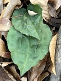 | Tipularia discolor (Pursh) Nutt. | 1828 | Oakes | Martha's Vineyard |
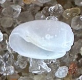 | Acteocina canaliculata (Say, 1826) | 1871 | United States Fish Commission | Off Gay Head |
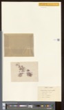 | Actinococcus subcutaneus (Lyngbye ex Hornemann) Rosenvinge | 1871 | W. G. Farlow | Gay Head |
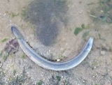 | Anguilla rostrata (Lesueur, 1817) | 1871 | U.S. Fish Commission | Vineyard Sound |
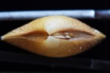 | Astarte crenata (J.E.Gray, 1824) | 1871 | United States Fish Commission | Off Gay Head and Edgartown |
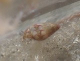 | Astyris lunata (Say, 1826) | 1871 | United States Fish Commission | Great Harbor, Gay Head [=Aquinnah] |
| Callithamnion plumula (J.Ellis) Lyngbye | 1871 | W. G. Farlow | Martha's Vineyard, Gay Head | |
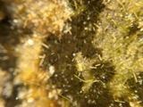 | Chaetomorpha linum (O.F.Müll.) Kütz. | 1871 | W. G. Farlow | Martha's Vineyard, Gay Head |
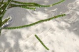 | Chaetomorpha melagonium (F.Weber & D.Mohr) Kützing | 1871 | W. G. Farlow | Martha's Vineyard, Gay Head |
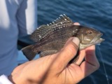 | Centropristis striata (Linnaeus, 1758) | 1899 | B. Bean | Menemsha Bight |
 | Echinorhynchus Zoega, 1776 | 1899 | E. Linton | Martha's Vineyard |
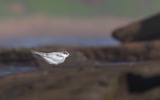 | Sterna dougallii dougallii Montagu, 1813 | 1899 | Doe, C E | Dukes County |
All 2,225 specimens within 10 miles, at the Global Biodiversity Information Facility.
Nearest settlements
The eight closest, with where each one stands in the county. Distances are straight-line, computed from the Geographic Names Information System coordinates.
| Map | Place | Distance | Sheets |
|---|---|---|---|
| Nashaquitsa | 1.0 miles | 33 | |
| Indian Lands | 2.9 miles | 33 | |
| Chilmark | 2.9 miles | 33 | |
| Menemsha | 3.1 miles | 33 | |
| Lobsterville | 3.2 miles | 33 | |
| Gay Head | 3.3 miles | 33 | |
| Nabs Corner | 6.6 miles | 34 | |
| Quansoo | 6.7 miles | 34 |
Elsewhere
Matched on this settlement's Geographic Names Information System number rather than its name, so it cannot be a different place of the same name in another state.
| Wikidata item Q122563991 | The structured record the population and elevation above come from. Public domain (CC0). |
Provenance
This settlement is recorded in the Geographic Names Information System as feature 615394. The sheet list is computed by point-in-boundary test against the United States Geological Survey's historical topographic inventory. Both are works of the United States government and carry no copyright under 17 U.S.C. 105.
Wildfire. Short, Karen C. 2022. Spatial wildfire occurrence data for the United States, 1992-2020 [FPA_FOD_20221014]. 6th Edition. Fort Collins, CO: Forest Service Research Data Archive. https://doi.org/10.2737/RDS-2013-0009.6 Collected with United States Government funding and usable without additional permissions or fees.
Specimens. Global Biodiversity Information Facility (GBIF), https://www.gbif.org/. Only records licensed CC0 or CC BY are used. Records licensed CC BY-NC are excluded because this site carries advertising. Images are checked individually and any whose licence is non-commercial, no-derivatives or unreadable is refused.