 Block
Block
Chilmark, Massachusetts
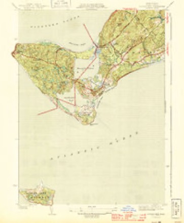
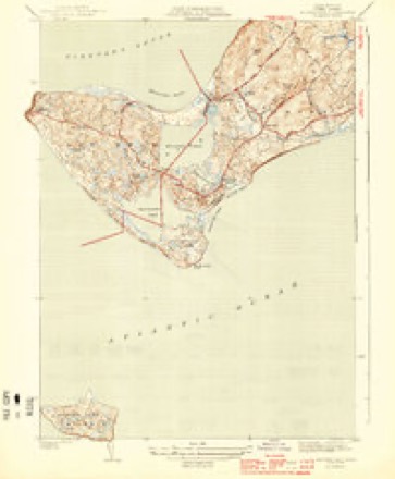
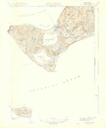
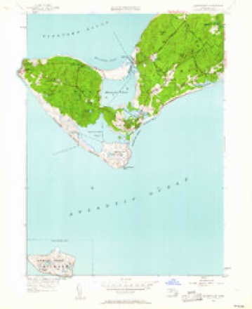
33 topographic sheets cover this place, the earliest surveyed in 1887 and the latest in 1994. It stands in Chilmark town. It lies in ZIP code area 02535. It sits by Wequobsque Cliffs. The Survey maps it on the Tisbury Great Pond quadrangle. 1,212 people lived here at the 2020 count. It stands 92 feet above sea level.
Population over time
2 figuresChilmark grew from 866 to 1,212 between 2010 and 2020. These are the recorded population figures Wikidata holds for this place, reached through the Geographic Names Information System number this page is keyed on rather than by name, so they belong to this place and not to another of the same name. Most are census counts, but not all are: an early figure may be a founding or settlement estimate. The change column is computed, and is left blank where more than 20 years separate a figure from the one before it, because a gap that long is not a change between two counts.
| Year | People | Change |
|---|---|---|
| 2010 | 866 | |
| 2020 | 1,212 | +346 (+40%) |
Then and now
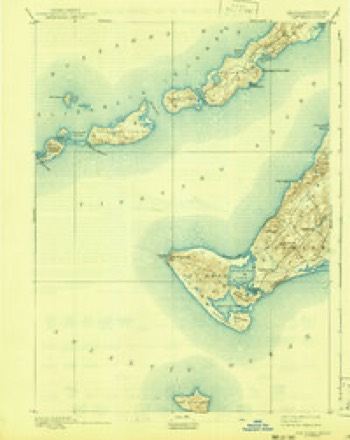
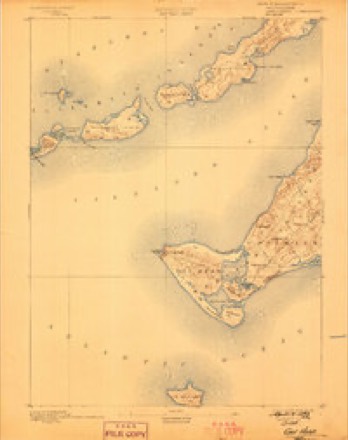
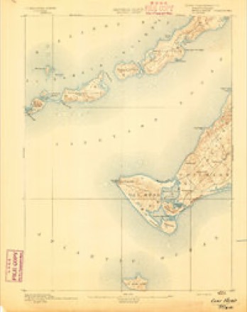
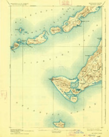
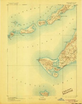
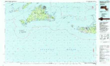
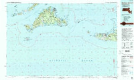
1887 to 1994The same ground, surveyed 107 years apart. Drag the handle to wipe between them. Both sheets are United States Geological Survey originals; neither has been altered.
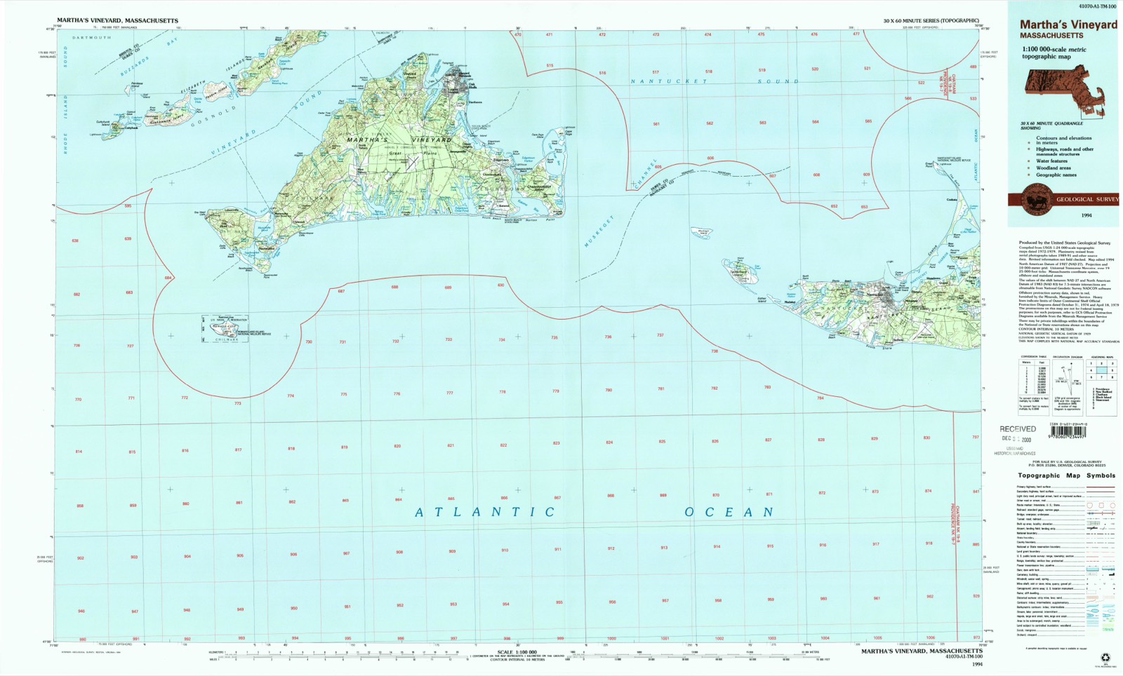
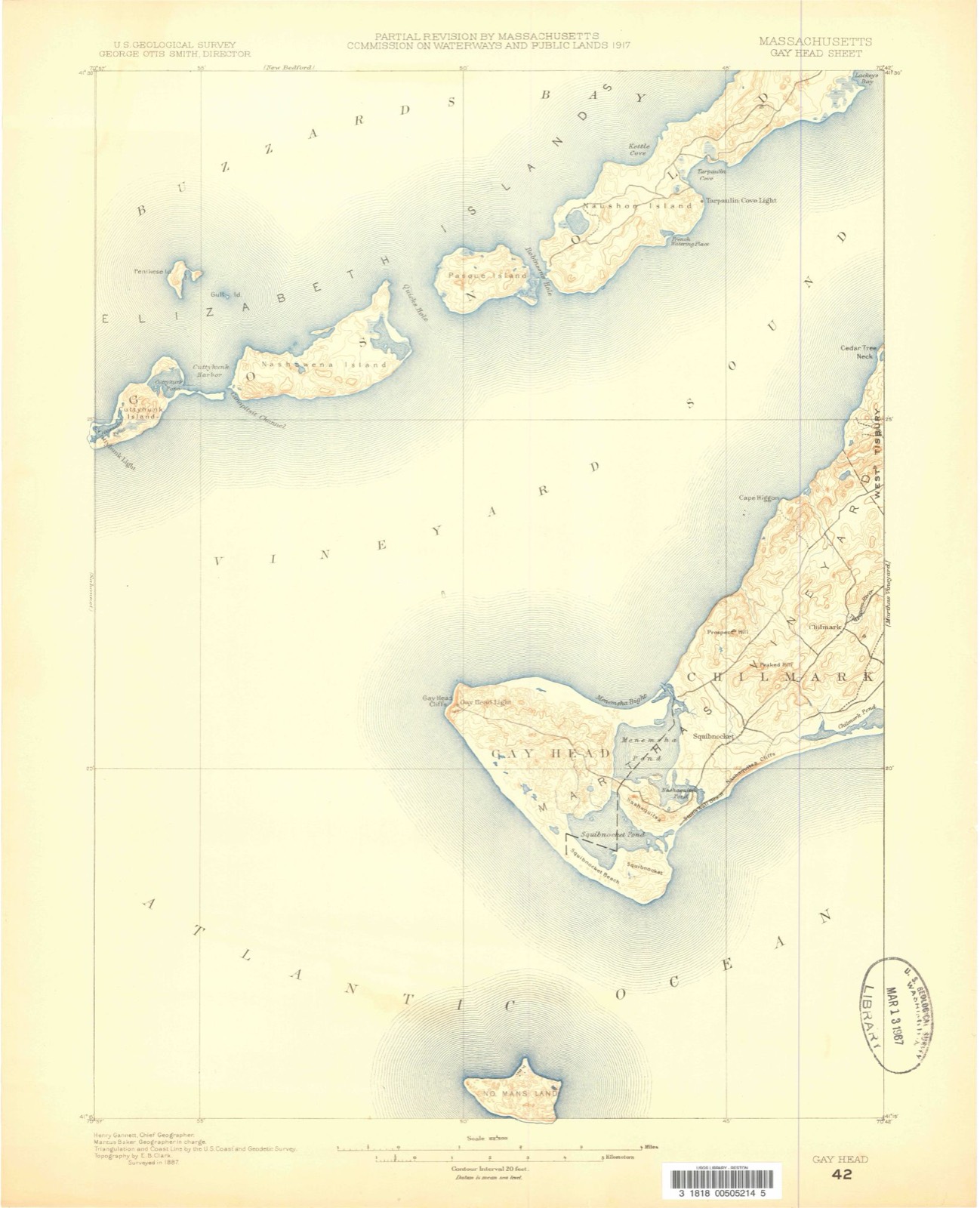
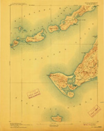
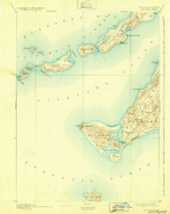
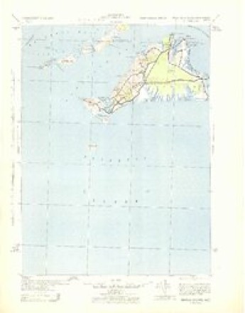
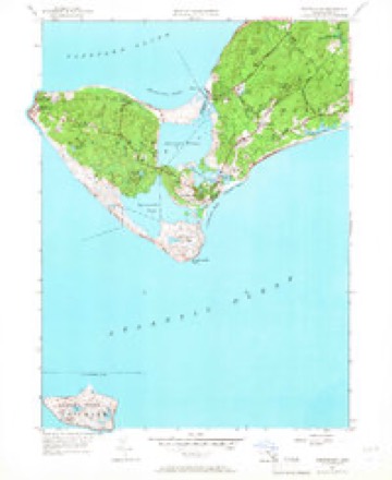
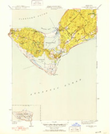
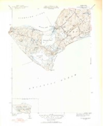
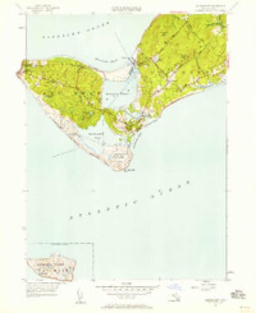
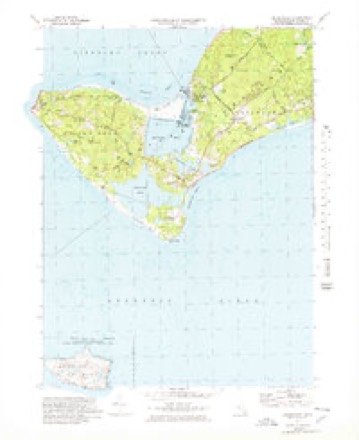
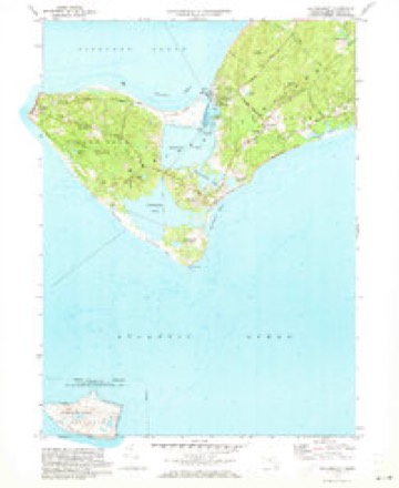
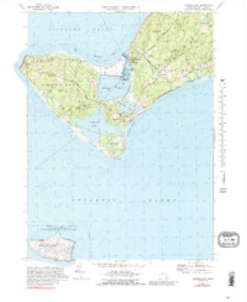
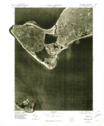
Topographic sheets covering this place
33 sheetsMatched by testing this settlement's coordinate against the published boundary of every sheet in the United States Geological Survey's historical collection. Each opens the scanned sheet at the Survey.
- 1887 USGS Gay Head quadrangle1:62500
- 1889 USGS Gay Head quadrangle1:62500
- 1893 USGS Gay Head quadrangle1:62500
- 1893 USGS Gay Head quadrangle1:62500
- 1893 USGS Gay Head quadrangle1:62500
- 1893 USGS Gay Head quadrangle1:62500
- 1893 USGS Gay Head quadrangle1:62500
- 1893 USGS Gay Head quadrangle1:62500
- 1893 USGS Gay Head quadrangle1:62500
- 1942 USGS Marthas Vineyard quadrangle1:125000
- 1944 USGS Squibnocket quadrangle1:31680
- 1944 USGS Squibnocket quadrangle1:31680
- 1944 USGS Squibnocket quadrangle1:31680
- 1947 USGS Providence quadrangle1:250000
- 1947 USGS Providence quadrangle1:250000
- 1947 USGS Providence quadrangle1:250000
- 1947 USGS Providence quadrangle1:250000
- 1947 USGS Providence quadrangle1:250000
- 1948 USGS Providence quadrangle1:250000
- 1951 USGS Squibnocket quadrangle1:24000
- 1951 USGS Squibnocket quadrangle1:24000
- 1951 USGS Squibnocket quadrangle1:31680
- 1951 USGS Squibnocket quadrangle1:31680
- 1951 USGS Squibnocket quadrangle1:24000
- 1957 USGS Providence quadrangle1:250000
- 1958 USGS Providence quadrangle1:250000
- 1963 USGS Providence quadrangle1:250000
- 1972 USGS Squibnocket quadrangle1:25000
- 1972 USGS Squibnocket quadrangle1:24000
- 1972 USGS Squibnocket quadrangle1:24000
- 1977 USGS Squibnocket quadrangle1:25000
- 1986 USGS Martha's Vineyard quadrangle1:100000
- 1994 USGS Martha's Vineyard quadrangle1:100000









In the county-history sources
24,949 words on this townshipThe History of Martha's Vineyard, Dukes County, Massachusetts, published 1911 names this settlement in its chapter on Chilmark Town. These are the passages that mention it, exactly as the scans read.
This name is first given to the Manor of Tisbury in a deed from Thomas Mayhew to Daniel Stewart, March 26, 1680, where Mayhew calls himself "of the town of Chilmark in the Manor of Tysbery." It is mentioned in another deed under date of April 1, 1693, and appears on Simon Athearn's map of 1694. The reason for the bestowal of this name is found in its relation to the Mayhew family at the time Thomas Mayhew lived in the adjoining parish of Tisbury. It was undoubtedly found that confusion arose from the use of the names of Tisbury Manor and Tisbury, a condition which Mayhew remedied by reviving the old familiar title of one of the ancestral homes of his family.
Passage source: The History of Martha's Vineyard, Dukes County, Massachusetts, published 1911.
Chilmark was the last of the three original towns to become settled, and it is not until toward the end of the 1 7th century that any appreciable population resided in its limits.^ By reference to the genealogies of the families known to have been living here in 1700, a total of 73 persons can be counted at that date. This makes no account of "others" who may have been here in the capacity of teachers, servants or laborers on the farms, exclusive of Indians. Perhaps ten or a dozen more, at the outside, would cover this class of transient residents. That Chilmark increased more rapidly than the other towns in population in this century is known from taxation and valuation lists, but no definite statistics are available
Passage source: The History of Martha's Vineyard, Dukes County, Massachusetts, published 1911.
Chilmark has had an irregular but steady decrease in population since 1800, although the two towns of Gosnold and Gay Head were formed from this population, which in a large measure accounts for losses since i860. The state census of 1905 showed a population of 322.
Passage source: The History of Martha's Vineyard, Dukes County, Massachusetts, published 1911.
Machine-read from a century-old scan, so expect the errors a machine makes: misspelled names, dropped words, stray characters.
Read the whole chapter on Chilmark Town - it names this place 82 more 82 times.
Fires near this place
1 since 2018Regional context, not property-specific evidence. The federal wildfire occurrence database lists 1 fire within 5 miles of Chilmark between 2018 and 2018, burning about 0 acres in total. None started naturally. None was recorded as arson. Distance is straight-line from the map coordinates, so a fire counted here may appear on a neighbouring settlement's page as well.
| Reported cause | Fires |
|---|---|
| Debris and open burning | 1 |
The most recent of them, most recent first, with the day each was reported and the service that recorded it.
| Date | Cause | Size | Reported by | Name on the report |
|---|---|---|---|---|
| 21 April 2018 | Debris and open burning | under an acre | Massachusetts Bureau of Forest Fire Control | not named |
Settlements close enough to share some of these fires:
Specimens collected near this place
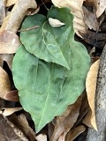
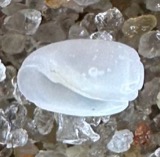
12 of 6,462 shownRegional context, not property-specific evidence. Museums hold 6,462 specimens collected within 10 miles of Chilmark between 1828 and 1975: 5,052 Animalia, 1,007 Plantae, 173 Chromista, 168 Unrecorded, 44 Fungi, 16 Bacteria, 2 Protozoa. 12 distinct Species records are shown. Collected by A AND P STARRETT, A., A. B. Hervey and others. Each is a physical object with a catalogue number, and each entry opens the museum's record. This is what was collected and kept, not a survey of what lives here - nothing can be concluded from a species being absent.
| Image | Species | Year | Collected by | Where, as recorded |
|---|---|---|---|---|
 | Tipularia discolor (Pursh) Nutt. | 1828 | Oakes | Martha's Vineyard |
 | Acteocina canaliculata (Say, 1826) | 1871 | United States Fish Commission | Off Gay Head |
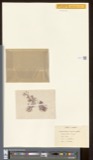 | Actinococcus subcutaneus (Lyngbye ex Hornemann) Rosenvinge | 1871 | W. G. Farlow | Gay Head |
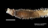 | Alitta succinea (Leuckart, 1847) | 1871 | U.S. Fish Commission | Naushon Island |
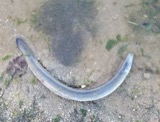 | Anguilla rostrata (Lesueur, 1817) | 1871 | U.S. Fish Commission | Vineyard Sound |
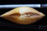 | Astarte crenata (J.E.Gray, 1824) | 1871 | United States Fish Commission | Off Gay Head and Edgartown |
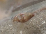 | Astyris lunata (Say, 1826) | 1871 | United States Fish Commission | Great Harbor, Gay Head [=Aquinnah] |
| Callithamnion plumula (J.Ellis) Lyngbye | 1871 | W. G. Farlow | Martha's Vineyard, Gay Head | |
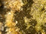 | Chaetomorpha linum (O.F.Müll.) Kütz. | 1871 | W. G. Farlow | Martha's Vineyard, Gay Head |
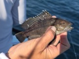 | Centropristis striata (Linnaeus, 1758) | 1899 | B. Bean | Menemsha Bight |
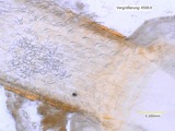 | Echinorhynchus Zoega, 1776 | 1899 | E. Linton | Martha's Vineyard |
 | Microtus breweri (Baird, 1857) | 1899 | BANGS, O. | MUSKEGET IS |
All 6,462 specimens within 10 miles, at the Global Biodiversity Information Facility.
Storms near this place
3 since 2009Regional context, not property-specific evidence. The National Weather Service names Chilmark in 3 storm reports between 2009 and 2017: 2 thunderstorm wind, 1 flood. No death or injury is recorded in these reports. Each account below is quoted exactly as the forecast office filed it, from the NOAA Storm Events Database, and each date opens the federal record of that event.
| When | Event | Place named | Harm | What the report says |
|---|---|---|---|---|
| November 2014 | Thunderstorm Wind | Chilmark | $5,000 | A large tree was downed blocking Menemsha Inn Road in Chilmark. |
| July 2009 | Thunderstorm Wind | Chilmark | $1,000 | A tree on North Road was downed by thunderstorm winds. |
| July 2017 | Flood | Chilmark | - | At 1226 PM EST, significant street flooding was reported on State Road in Chilmark, between Catherine's Way and Millbrook Road. |
Nearest settlements
The eight closest, with where each one stands in the county. Distances are straight-line, computed from the Geographic Names Information System coordinates.
| Map | Place | Distance | Sheets |
|---|---|---|---|
| Menemsha | 1.2 miles | 33 | |
| Nashaquitsa | 2.0 miles | 33 | |
| Lobsterville | 2.8 miles | 33 | |
| Squibnocket | 2.9 miles | 33 | |
| Gay Head | 3.7 miles | 33 | |
| Indian Lands | 3.8 miles | 33 | |
| Nabs Corner | 3.9 miles | 34 | |
| Quansoo | 4.4 miles | 34 |
Elsewhere
Matched on this settlement's Geographic Names Information System number rather than its name, so it cannot be a different place of the same name in another state.
| Wikipedia article on Chilmark | An encyclopaedic summary. Its text is share-alike, so it is linked here rather than copied. |
| Wikidata item Q2302305 | The structured record the population and elevation above come from. Public domain (CC0). |
Provenance
This settlement is recorded in the Geographic Names Information System as feature 614981. The sheet list is computed by point-in-boundary test against the United States Geological Survey's historical topographic inventory. Both are works of the United States government and carry no copyright under 17 U.S.C. 105.
Wildfire. Short, Karen C. 2022. Spatial wildfire occurrence data for the United States, 1992-2020 [FPA_FOD_20221014]. 6th Edition. Fort Collins, CO: Forest Service Research Data Archive. https://doi.org/10.2737/RDS-2013-0009.6 Collected with United States Government funding and usable without additional permissions or fees.
Specimens. Global Biodiversity Information Facility (GBIF), https://www.gbif.org/. Only records licensed CC0 or CC BY are used. Records licensed CC BY-NC are excluded because this site carries advertising. Images are checked individually and any whose licence is non-commercial, no-derivatives or unreadable is refused.
Storms. NOAA National Centers for Environmental Information, Storm Events Database https://www.ncei.noaa.gov/stormevents/ A work of the United States government, no copyright under 17 U.S.C. 105. Narratives are quoted verbatim from the National Weather Service report and are not edited or summarised.