 Block
Block
Mentzer, Ohio
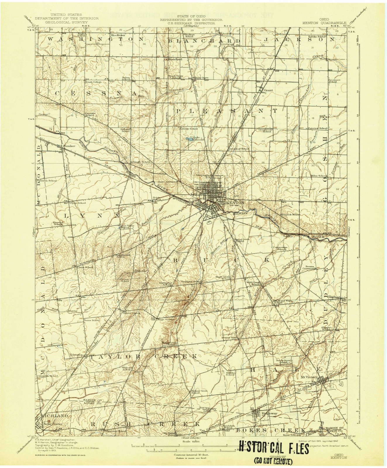
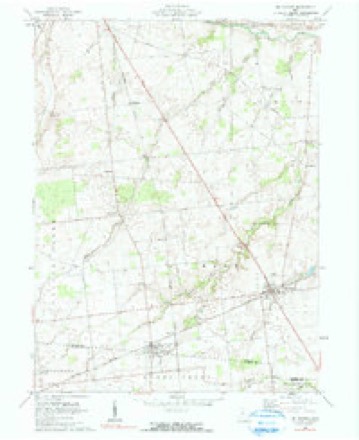
11 topographic sheets cover this place, the earliest surveyed in 1915 and the latest in 1986. It stands in Buck Township. It lies in ZIP code area 43326. The Survey maps it on the Mount Victory quadrangle.
Then and now
1915 to 1986The same ground, surveyed 71 years apart. Drag the handle to wipe between them. Both sheets are United States Geological Survey originals; neither has been altered.

Topographic sheets covering this place
11 sheetsMatched by testing this settlement's coordinate against the published boundary of every sheet in the United States Geological Survey's historical collection. Each opens the scanned sheet at the Survey.
- 1915 USGS Kenton quadrangle1:62500
- 1944 USGS Kenton quadrangle1:62500
- 1950 USGS Marion quadrangle1:250000
- 1961 USGS Mt Victory quadrangle1:24000
- 1961 USGS Mt. Victory quadrangle1:24000
- 1962 USGS Marion quadrangle1:250000
- 1966 USGS Marion quadrangle1:250000
- 1966 USGS Marion quadrangle1:250000
- 1966 USGS Marion quadrangle1:250000
- 1986 USGS Marion quadrangle1:100000
- 1986 USGS Marion quadrangle1:100000







In the county-history sources
14,815 words on this townshipThe History of Hardin County, Ohio, published 1883 names this settlement in its chapter on Buck Township. These are the passages that mention it, exactly as the scans read.
William H. Cole, a native of the State of New York, settled on land now owned by Samuel Mentzer about 1833. Here he erected an ashery, and carried on that business several years, giving but little attention to farming, and finally sold out and moved away.
Passage source: The History of Hardin County, Ohio, published 1883.
Samuel Mentzer was one of the earlier merchants of Kenton; was also in the hotel business for some time, but subsequently exchanged his prop- erty in Kenton for the farm on Wolf Creek upon which William H. Cole settled in 1833. IVIr. Mentzer was closely identified with the business interests of Kenton and its vicinity for many years.
Passage source: The History of Hardin County, Ohio, published 1883.
John Bales, Lewis Dunson, Z. O. Hatcher, E. S. Buttler, M. D. L. Mentzer, John C. Johnson, Jacob Everhart and William Mentzer, who were organized under the laws regulating such associations, and purchased of Samuel Mentzer one acre and a half of ground, which was properly fenced and laid out into lots, walks and driveways, and the whole well ditched, tiled and drained. The lots were rapidly sold, and in the spring of 1882 it was found necessary to enlarge the grounds, and the association purchased of the said Samuel Mentzer three and one-half acres more, adjoining the first purchase; so that the cemetery now contains five acres, and is now one of the prettiest of rural cemeteries. The officers of the association consist of a President, Secretary, Treasurer, and five persons who constitute a Board of Trustees. The first officers of the association were; John P. Richards, President; Lewis Dunson, Secretary; John C. Johnson, Treasurer, and P.
Passage source: The History of Hardin County, Ohio, published 1883.
Machine-read from a century-old scan, so expect the errors a machine makes: misspelled names, dropped words, stray characters.
Read the whole chapter on Buck Township - it names this place 5 more 5 times.
Fires near this place
4 since 2002Regional context, not property-specific evidence. The federal wildfire occurrence database lists 4 fires within 5 miles of Mentzer between 2002 and 2002, burning about 2 acres in total. None started naturally. None was recorded as arson. Distance is straight-line from the map coordinates, so a fire counted here may appear on a neighbouring settlement's page as well.
| Reported cause | Fires |
|---|---|
| Recreation and ceremony | 3 |
| Debris and open burning | 1 |
The most recent of them, most recent first, with the day each was reported and the service that recorded it.
| Date | Cause | Size | Reported by | Name on the report |
|---|---|---|---|---|
| 31 August 2002 | Recreation and ceremony | 1.0 acres | Ohio State Fire Marshal's Office | not named |
| 15 July 2002 | Recreation and ceremony | 1.0 acres | Ohio State Fire Marshal's Office | not named |
| 12 July 2002 | Recreation and ceremony | under an acre | Ohio State Fire Marshal's Office | not named |
| 21 November 2002 | Debris and open burning | under an acre | Ohio State Fire Marshal's Office | not named |
Settlements close enough to share some of these fires:
Specimens collected near this place
12 of 128 shownRegional context, not property-specific evidence. Museums hold 128 specimens collected within 10 miles of Mentzer between 1882 and 1970: 108 Animalia, 19 Fungi, 1 Plantae. 12 distinct Species records are shown. Collected by A W SHARER, Angle, E. (Eric), Anson A. Hinkley and others. Each is a physical object with a catalogue number, and each entry opens the museum's record. This is what was collected and kept, not a survey of what lives here - nothing can be concluded from a species being absent.
| Image | Species | Year | Collected by | Where, as recorded |
|---|---|---|---|---|
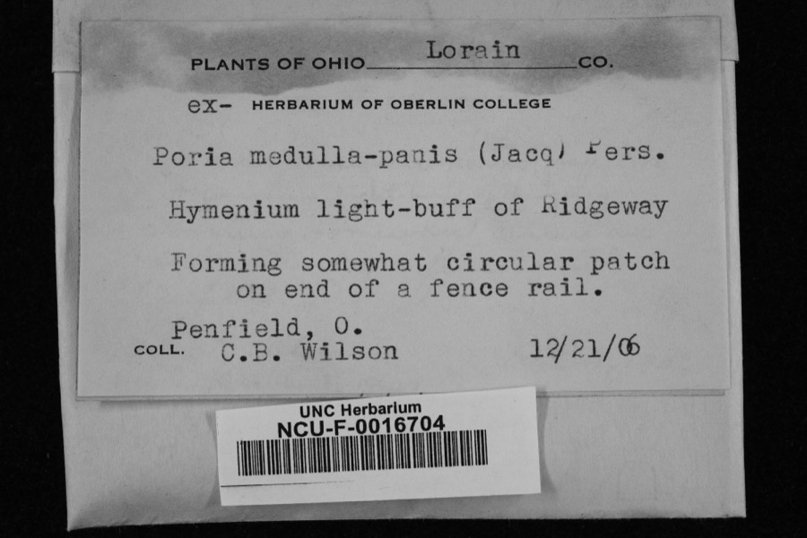 | Poria medulla-panis (Jacq.) Cooke | 1906 | Penfield, O.; C. B. Wilson | Ridgeway |
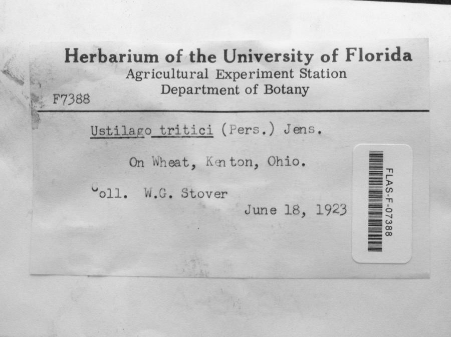 | Ustilago tritici (Bjerk.) Rostr. | 1923 | W.G. Stover | Kenton |
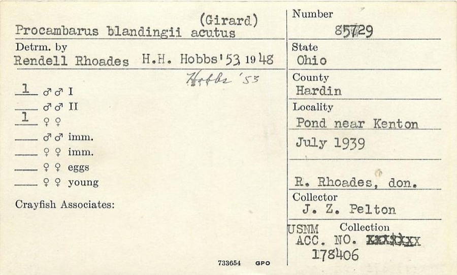 | Procambarus blandingii (Harlan, 1830) | 1939 | J. Pelton | Pond near Kenton |
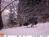 | Meleagris gallopavo silvestris Vieillot, 1817 | 1882 | W.C. Hampton | Mt. Victory |
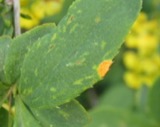 | Puccinia graminis var. phlei-pratensis (Erikss. & Henn.) Stakman & Piem. | 1908 | Clinton; Bird | Mt. Victory |
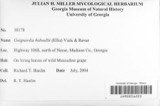 | Guignardia bidwellii (Ellis) Viala & Ravaz | 1910 | Heckathorne H. E. | Kenton |
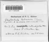 | Laestadia bidwellii (Ellis) Viala & Ravaz | 1910 | Heckathorne H. E. | Kenton |
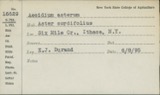 | Puccinia asterum (Schwein.) F.Kern | 1913 | Bartholomew E. | Kenton |
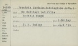 | Puccinia caricis-solidaginis Arthur | 1913 | E. Bartholomew | Kenton |
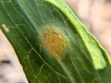 | Puccinia dioicae Magnus | 1913 | Bartholomew, Elam T | Kenton |
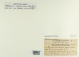 | Puccinia extensicola Plowr. | 1913 | E. Bartholomew | Kenton. |
| Elimia semicarinata (Say, 1829) | 1914 | Anson A. Hinkley | Scioto River, Kenton, near headwaters, North America |
All 128 specimens within 10 miles, at the Global Biodiversity Information Facility.
Nearest settlements
The eight closest, with where each one stands in the county. Distances are straight-line, computed from the Geographic Names Information System coordinates.
| Map | Place | Distance | Sheets |
|---|---|---|---|
| Grassy Point | 2.6 miles | 11 | |
| Browns Crossroads | 3.1 miles | 11 | |
| Kenton | 3.8 miles | 12 | |
| Otterbein | 4.1 miles | 11 | |
| Westview Estates | 4.5 miles | 12 | |
| Pfeiffer | 4.8 miles | 10 | |
| Silver Creek | 5.3 miles | 11 | |
| Mount Victory | 5.4 miles | 11 |
Provenance
This settlement is recorded in the Geographic Names Information System as feature 1062887. The sheet list is computed by point-in-boundary test against the United States Geological Survey's historical topographic inventory. Both are works of the United States government and carry no copyright under 17 U.S.C. 105.
Wildfire. Short, Karen C. 2022. Spatial wildfire occurrence data for the United States, 1992-2020 [FPA_FOD_20221014]. 6th Edition. Fort Collins, CO: Forest Service Research Data Archive. https://doi.org/10.2737/RDS-2013-0009.6 Collected with United States Government funding and usable without additional permissions or fees.
Specimens. Global Biodiversity Information Facility (GBIF), https://www.gbif.org/. Only records licensed CC0 or CC BY are used. Records licensed CC BY-NC are excluded because this site carries advertising. Images are checked individually and any whose licence is non-commercial, no-derivatives or unreadable is refused.