 Block
Block
Midland, Ohio
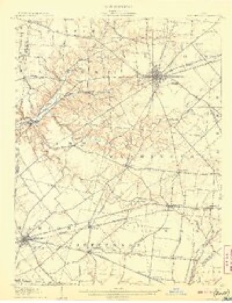
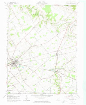
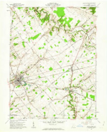
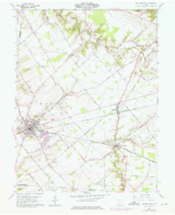
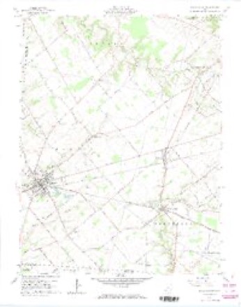
14 topographic sheets cover this place, the earliest surveyed in 1907 and the latest in 1986. It stands in Jefferson Township. It lies in ZIP code area 45148. The Survey maps it on the Blanchester quadrangle. 307 people lived here at the 2020 count. It stands 984 feet above sea level.
Population over time
2 figuresMidland fell from 315 to 307 between 2010 and 2020. These are the recorded population figures Wikidata holds for this place, reached through the Geographic Names Information System number this page is keyed on rather than by name, so they belong to this place and not to another of the same name. Most are census counts, but not all are: an early figure may be a founding or settlement estimate. The change column is computed, and is left blank where more than 20 years separate a figure from the one before it, because a gap that long is not a change between two counts.
| Year | People | Change |
|---|---|---|
| 2010 | 315 | |
| 2020 | 307 | -8 (-3%) |
Then and now
1907 to 1986The same ground, surveyed 79 years apart. Drag the handle to wipe between them. Both sheets are United States Geological Survey originals; neither has been altered.
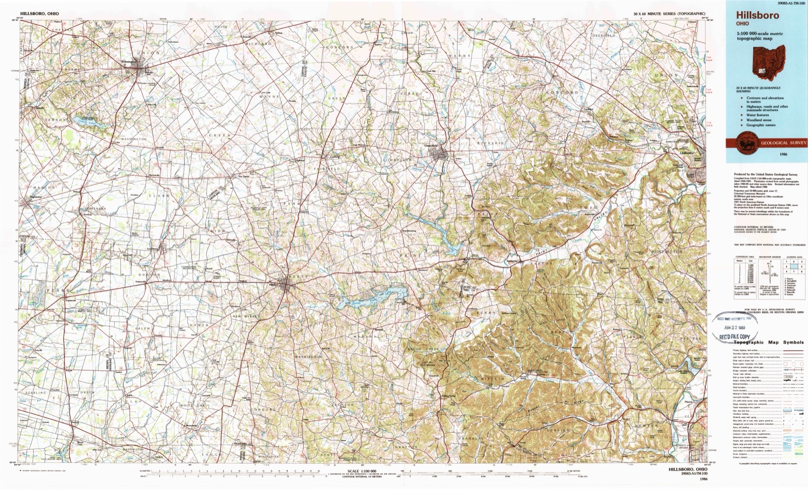
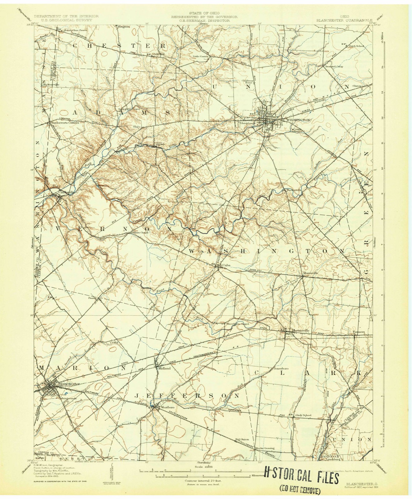
Topographic sheets covering this place
14 sheetsMatched by testing this settlement's coordinate against the published boundary of every sheet in the United States Geological Survey's historical collection. Each opens the scanned sheet at the Survey.
- 1907 USGS Blanchester quadrangle1:62500
- 1907 USGS Blanchester quadrangle1:62500
- 1907 USGS Blanchester quadrangle1:62500
- 1947 USGS Columbus quadrangle1:250000
- 1961 USGS Blanchester quadrangle1:24000
- 1961 USGS Blanchester quadrangle1:24000
- 1961 USGS Blanchester quadrangle1:24000
- 1961 USGS Blanchester quadrangle1:24000
- 1961 USGS Columbus quadrangle1:250000
- 1962 USGS Columbus quadrangle1:250000
- 1967 USGS Columbus quadrangle1:250000
- 1967 USGS Columbus quadrangle1:250000
- 1986 USGS Hillsboro quadrangle1:100000
- 1986 USGS Hillsboro quadrangle1:100000





What happened here
An account from the chapter on Jefferson township, The inset identifies its exact source book and publication year.
Early Settlers
Samuel Jackson bears the distinction of building the first house in this township about the year 1812. Mr. Jackson had emigrated from Tennessee in the year 1800, and had settled in the eastern part of what is now Highland county, on Rocky fork. Hunting was his chief occupation and during the year 1801 he killed two panthers and quite a number of deer and bears.
In the county-history sources
2,916 words on this townshipHistory of Clinton County Ohio, published 1915 names this settlement in its chapter on Jefferson Township. These are the passages that mention it, exactly as the scans read.
Midland City is situated on the Baltimore & Ohio railroad and the crossing of the Wilmington and Westboro pike, twelve miles south of Wilmington. It was first laid out as Clinton Valley. It is noted for being a great coaling and water station of the said road and gives employment to a number of men. It is also accommodated by the Midland division of the same road. The village has a population at present of approximately four hundred people. Midland City is incorporated and the town officials at present are: Riley Davis, mayor; B. V. Moon, clerk; Ezekiel Walker, marshal; J. A. Walker, George Fordice, A. C. Hamilton, George Patton, Quince Henderson and Harry Hall, councilmen. Maces Foster is the postmaster and Roy Wallace the agent for the Baltimore & Ohio railroad.
Passage source: History of Clinton County Ohio, published 1915.
The business interests of the town are as follow: General stores, Maces Foster, F. J. Martin and E. H. Osborn; F. P. Walker runs a grocery store. Roy O. Boulwar, grocery and general merchandise; C. N. Connor, grocery and restaurant: Ed Shaw. barber shop; F. A. Flora and J. A. Walker, blacksmith shop; J. C. Wickersham. grain dealer: Dennis Foster. hotel; Inez Waiker, boarding house; B. V. Moon and C. C. Foster, livery: William Badey, butcher; Harry and Forest Bady, cement block manufacturers; A. B. Martin is the village physician. Midland City is an excellent shipping point for the different farm products.
Passage source: History of Clinton County Ohio, published 1915.
Machine-read from a century-old scan, so expect the errors a machine makes: misspelled names, dropped words, stray characters.
Photographs
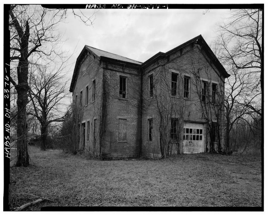
1 photograph,Taken for the Office of War Information and the Farm Security Administration, who photographed the country between 1935 and 1944. Works of United States government photographers, with no known restriction on use. Each opens its catalogue record.
Unattributed, . Library of Congress
Specimens collected near this place
12 of 439 shownRegional context, not property-specific evidence. Museums hold 439 specimens collected within 10 miles of Midland between 1906 and 1974: 370 Animalia, 49 Fungi, 17 Plantae, 3 Unrecorded. 12 distinct Species records are shown. Collected by A. R. Gaufin, A.R. Gaufin, H.H. Ross, Allen, A. (Avery) and others. Each is a physical object with a catalogue number, and each entry opens the museum's record. This is what was collected and kept, not a survey of what lives here - nothing can be concluded from a species being absent.
| Image | Species | Year | Collected by | Where, as recorded |
|---|---|---|---|---|
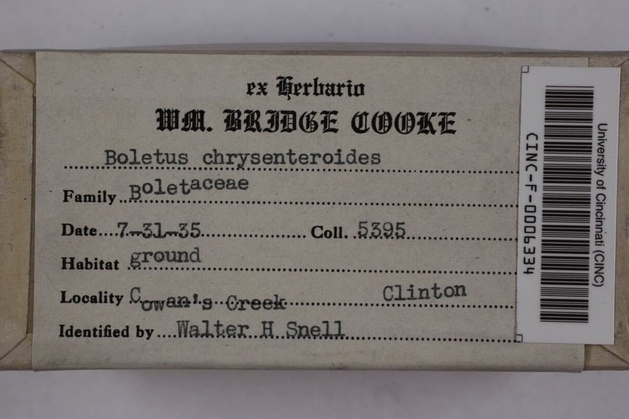 | Boletellus chrysenteroides (Snell) Snell | 1935 | Cooke, William Bridge | Cowan's Creek |
 | Boletus bicolor Raddi | 1935 | Cooke, William Bridge | Cowan's Creek |
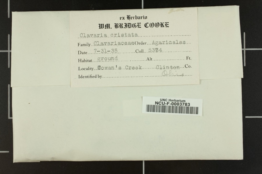 | Clavaria cristatula Henn. & E.Nyman | 1935 | Cooke, William Bridge | Cowan's Creek. |
_BHL4428192.jpg) | Cicada sayi Smith & Grossbeck, 1907 | 1906 | W. Templin | Blanchester |
 | Ditrichum pallidum (Hedw.) Hampe | 1913 | Braun, E. Lucy | |
 | Cladonia coniocraea (Flörke) Spreng. | 1923 | Braun, E. Lucy | Klock's Crossing |
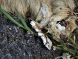 | Mustela frenata Lichtenstein, 1831 | 1927 | Hazard, F. O. | Reesville, Clinton Co., Ohio, USA |
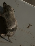 | Blarina brevicauda talpoides (Gapper, 1830) | 1929 | Hazard, F. O. | Wilmington ravine, Clinton Co., Ohio, USA |
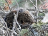 | Microtus pennsylvanicus (Ord, 1815) | 1929 | Hazard, F. O. | Wilmington (near), Clinton Co., Ohio, USA |
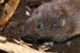 | Microtus pinetorum (Le Conte, 1830) | 1929 | Hazard, F. O. | Wilmington swamps, Clinton Co., Ohio, USA |
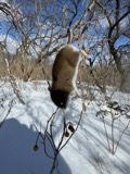 | Peromyscus leucopus (Rafinesque, 1818) | 1929 | Hazard, F. O. | Wilmington (near), Clinton Co., Ohio, USA |
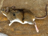 | Peromyscus maniculatus bairdii | 1929 | Hazard, F. O. | Wilmington ravine, Clinton Co., Ohio, USA |
All 439 specimens within 10 miles, at the Global Biodiversity Information Facility.
Storms near this place
17 since 1999Regional context, not property-specific evidence. The National Weather Service names Midland in 17 storm reports between 1999 and 2026: 6 hail, 5 thunderstorm wind, 4 flood, 2 flash flood. No death or injury is recorded in these reports. Each account below is quoted exactly as the forecast office filed it, from the NOAA Storm Events Database, and each date opens the federal record of that event.
| When | Event | Place named | Harm | What the report says |
|---|---|---|---|---|
| September 2022 | Thunderstorm Wind | Midland | $10,000 | Several trees were downed on Frazier Road, including a tree that fell on a house. |
| June 2008 | Thunderstorm Wind | Midland | $10,000 | Many trees were downed, some falling on buildings and causing minor structural damage. |
| June 2005 | Thunderstorm Wind | Midland | $10,000 | A silo was blown down. |
| July 1999 | Thunderstorm Wind | Midland | $3,000 | Trees downed. |
| June 2007 | Thunderstorm Wind | Midland | $2,000 | A couple of trees were knocked down. |
| July 2013 | Flash Flood | Midland | $1,000 | High water nearly a foot deep was across route 28 due to heavy rainfall. |
| March 2026 | Flood | Midland | - | High water was reported over Hale's Branch Road near Jonesboro Road. |
| March 2026 | Flood | Midland | - | High water was reported over Hale's Branch Road between Jonesboro Road and Cochran Road. |
| June 2025 | Flood | Midland | - | High water was surrounding five homes. |
| June 2025 | Flood | Midland | - | High water was reported on Tar Pike Road south of Second Creek Road. |
| July 2015 | Flash Flood | Midland | - | An estimated 4 inches of rain fell in 90 minutes. Water was covering numerous roads and yards in the Midland area. |
| July 2024 | Hail | Midland | - | no account filed |
| June 2015 | Hail | Midland | - | no account filed |
| June 2009 | Hail | Midland | - | no account filed |
| April 2006 | Hail | Midland | - | no account filed |
| March 2003 | Hail | Midland | - | no account filed |
| April 1999 | Hail | Midland | - | no account filed |
Nearest settlements
The eight closest, with where each one stands in the county. Distances are straight-line, computed from the Geographic Names Information System coordinates.
| Map | Place | Distance | Sheets |
|---|---|---|---|
| Westboro | 1.7 miles | 14 | |
| Pansy | 3.4 miles | 14 | |
| Blanchester | 4.2 miles | 14 | |
| Cuba | 4.5 miles | 11 | |
| Jonesboro | 4.6 miles | 11 | |
| Klocks Crossing | 5.2 miles | 11 | |
| Martinsville | 5.2 miles | 11 | |
| Morrisville | 6.7 miles | 11 |
Elsewhere
Matched on this settlement's Geographic Names Information System number rather than its name, so it cannot be a different place of the same name in another state.
| Wikipedia article on Midland | An encyclopaedic summary. Its text is share-alike, so it is linked here rather than copied. |
| Wikidata item Q2633374 | The structured record the population and elevation above come from. Public domain (CC0). |
Provenance
This settlement is recorded in the Geographic Names Information System as feature 1061520. The sheet list is computed by point-in-boundary test against the United States Geological Survey's historical topographic inventory. Both are works of the United States government and carry no copyright under 17 U.S.C. 105.
Specimens. Global Biodiversity Information Facility (GBIF), https://www.gbif.org/. Only records licensed CC0 or CC BY are used. Records licensed CC BY-NC are excluded because this site carries advertising. Images are checked individually and any whose licence is non-commercial, no-derivatives or unreadable is refused.
Storms. NOAA National Centers for Environmental Information, Storm Events Database https://www.ncei.noaa.gov/stormevents/ A work of the United States government, no copyright under 17 U.S.C. 105. Narratives are quoted verbatim from the National Weather Service report and are not edited or summarised.