 Block
Block
Westboro, Ohio
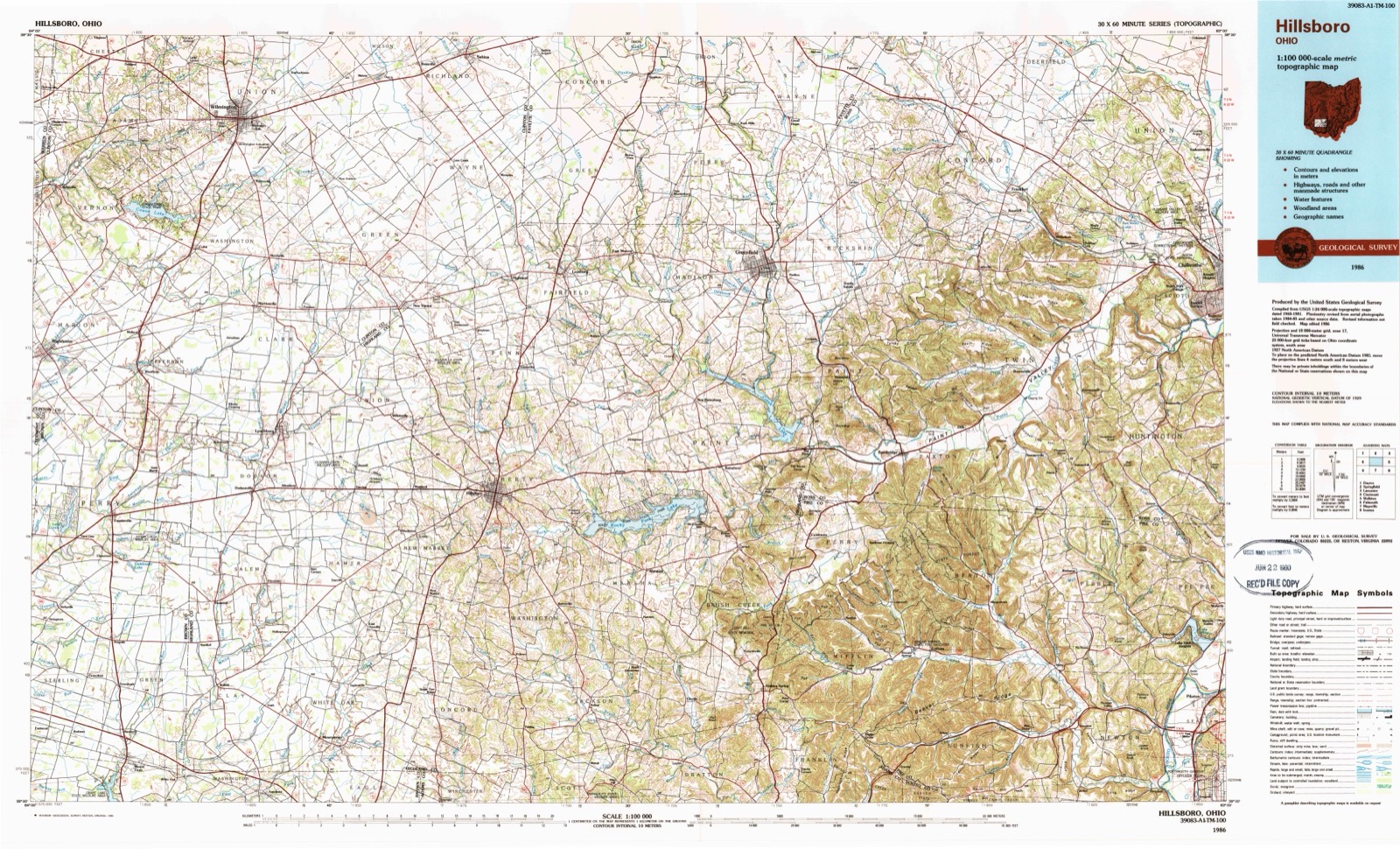
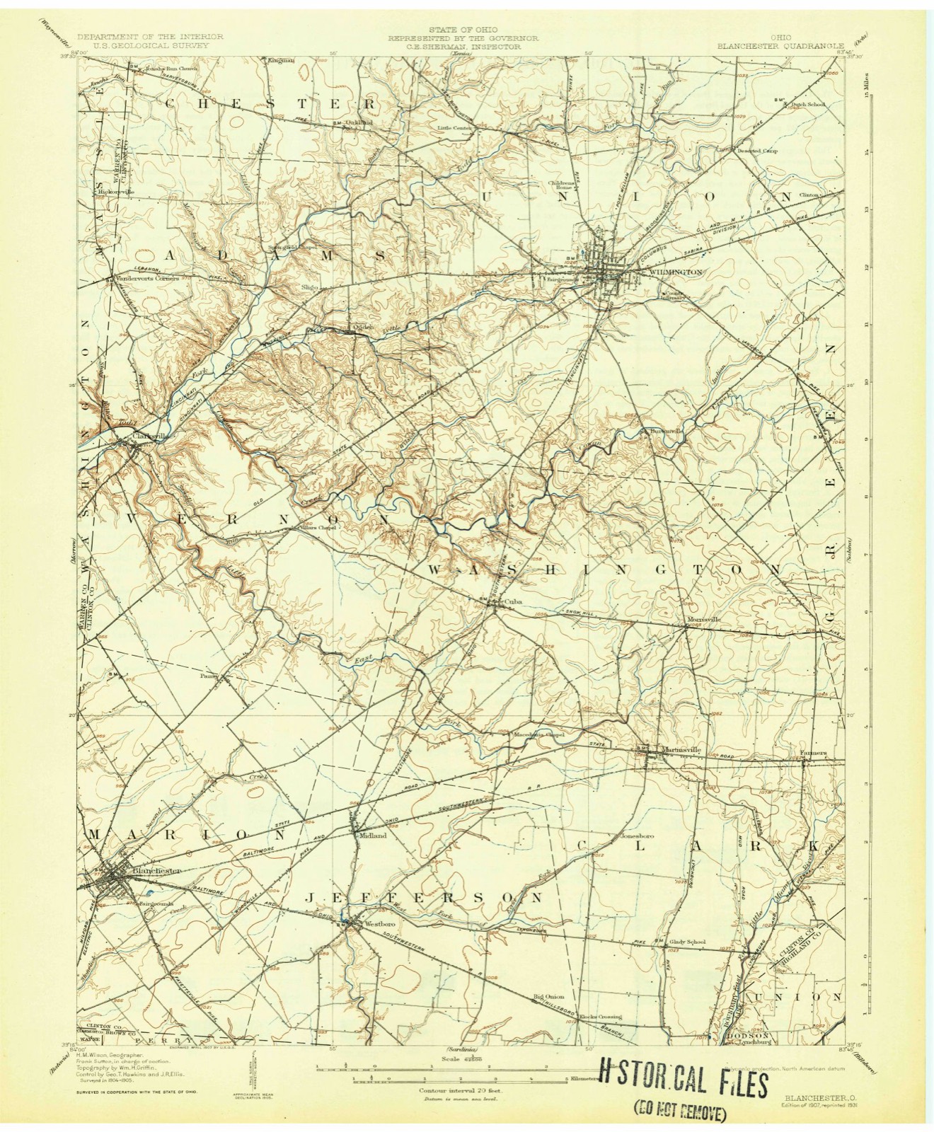
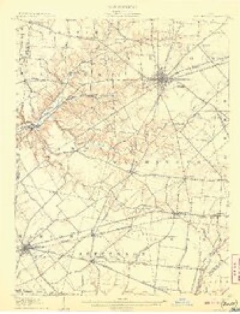
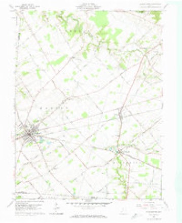
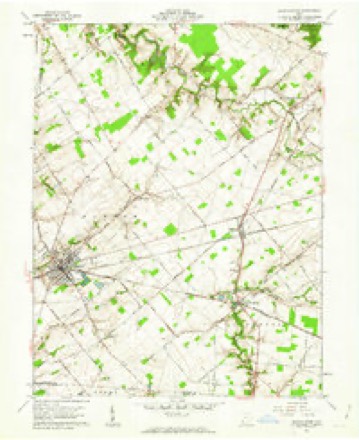
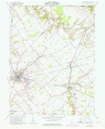
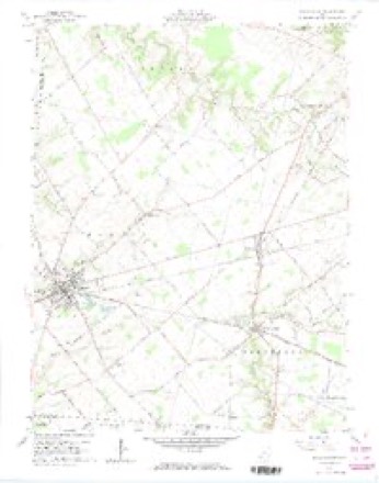
14 topographic sheets cover this place, the earliest surveyed in 1907 and the latest in 1986. It stands in Jefferson Township. It lies in ZIP code area 45148. The Survey maps it on the Blanchester quadrangle.
Then and now
1907 to 1986The same ground, surveyed 79 years apart. Drag the handle to wipe between them. Both sheets are United States Geological Survey originals; neither has been altered.
Topographic sheets covering this place
14 sheetsMatched by testing this settlement's coordinate against the published boundary of every sheet in the United States Geological Survey's historical collection. Each opens the scanned sheet at the Survey.
- 1907 USGS Blanchester quadrangle1:62500
- 1907 USGS Blanchester quadrangle1:62500
- 1907 USGS Blanchester quadrangle1:62500
- 1947 USGS Columbus quadrangle1:250000
- 1961 USGS Blanchester quadrangle1:24000
- 1961 USGS Blanchester quadrangle1:24000
- 1961 USGS Blanchester quadrangle1:24000
- 1961 USGS Blanchester quadrangle1:24000
- 1961 USGS Columbus quadrangle1:250000
- 1962 USGS Columbus quadrangle1:250000
- 1967 USGS Columbus quadrangle1:250000
- 1967 USGS Columbus quadrangle1:250000
- 1986 USGS Hillsboro quadrangle1:100000
- 1986 USGS Hillsboro quadrangle1:100000





What happened here
An account from the chapter on Jefferson township, The inset identifies its exact source book and publication year.
Early Settlers
Samuel Jackson bears the distinction of building the first house in this township about the year 1812. Mr. Jackson had emigrated from Tennessee in the year 1800, and had settled in the eastern part of what is now Highland county, on Rocky fork. Hunting was his chief occupation and during the year 1801 he killed two panthers and quite a number of deer and bears.
In the county-history sources
2,916 words on this townshipHistory of Clinton County Ohio, published 1915 names this settlement in its chapter on Jefferson Township. These are the passages that mention it, exactly as the scans read.
The surface of Jefferson township is generally level, but is susceptible of drainage at a reasonable cost. The only broken land in the township lies along the West fork of the Miami river and near the Brown county line, but this portion of land may be cultivated without difficulty and is now under a good state of cultivation. Jefferson township is drained by the West fork of the Miami river, which is the only stream flowing through this township, although it has as its branches and tributaries Plum run, Dry run, Moon's branch, Hale's branch, Lick branch, Sugartree branch and Bee branch. The West fork, as it is known to the natives, enters the township in the northeastern parti and runs in a southwesterly direction to a point near the village of Westboro, where it bears south, crossing the Brown county line, and continues about one and one-half miles in the same direction and empties into the East fork of the Little Miami river.
Passage source: History of Clinton County Ohio, published 1915.
Clinton county was visited by a great tornado, May 22, 1860, which was especially destructive to Jefferson township. It made havoc with the timber, much of which was broken down and torn up by the roots, or bent and damaged. This storm also did much damage to buildings and orchards, many houses and barns being unroofed. A portion of the brick school house at Westboro was blown down while school was in session, but, thanks to Him who "tempers the wind to the shorn lamb," no one was injured; also a portion of the Methodist Episcopal church at Westboro was blown down. This storm was probably the most remarkable meteorological occurrence that has been witnessed since the settlement of the township. . SOIL.
Passage source: History of Clinton County Ohio, published 1915.
Peter Shick made the first settlement north of where the Baltimore & Ohio railroad now runs. Mr. Shick was a Baptist minister and settled here in 1830. Among the other early settlers of the township wha came here and became permanent and prominent settlers were, William Garner, Joseph Hinshaw and Granville Haines, who settled in the Westboro neighborhood; Thomas Moon, Nathan Hoggatt, Jesse Hockett and others, in the Hale's branch neighborhood; Joseph D. Moon, Daniel H. Moon, John Holaday, Thomas B. Johnson and John W. Johnson, who settled on or near the old road leading from Martinsville to Woodville.
Passage source: History of Clinton County Ohio, published 1915.
Machine-read from a century-old scan, so expect the errors a machine makes: misspelled names, dropped words, stray characters.
Read the whole chapter on Jefferson Township - it names this place 8 more 8 times.
Specimens collected near this place
12 of 275 shownRegional context, not property-specific evidence. Museums hold 275 specimens collected within 10 miles of Westboro between 1906 and 1973: 208 Animalia, 48 Fungi, 16 Plantae, 3 Unrecorded. 12 distinct Species records are shown. Collected by A. R. Gaufin, A.R. Gaufin, H.H. Ross, Arden R. Gaufin and others. Each is a physical object with a catalogue number, and each entry opens the museum's record. This is what was collected and kept, not a survey of what lives here - nothing can be concluded from a species being absent.
| Image | Species | Year | Collected by | Where, as recorded |
|---|---|---|---|---|
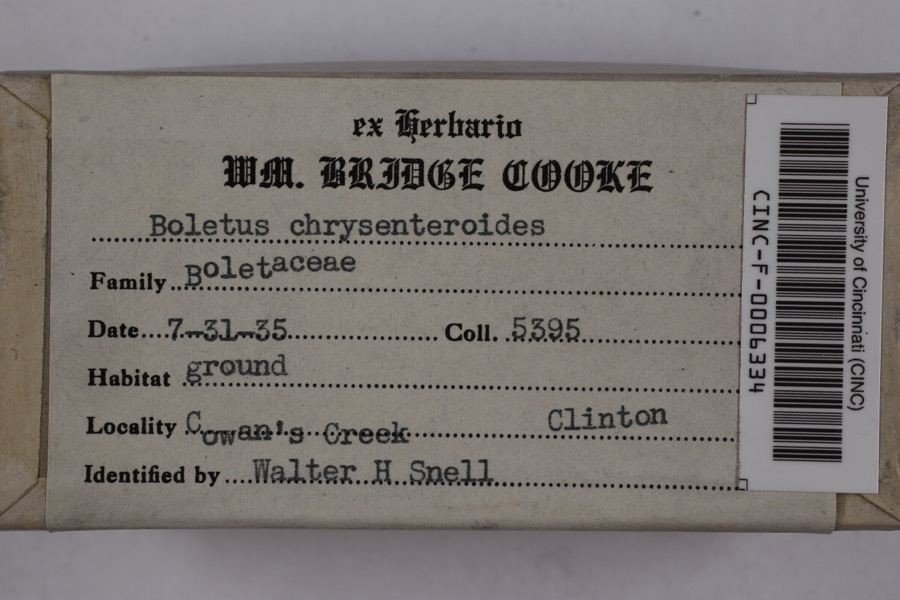 | Boletellus chrysenteroides (Snell) Snell | 1935 | Cooke, William Bridge | Cowan's Creek |
 | Boletus bicolor Raddi | 1935 | Cooke, William Bridge | Cowan's Creek |
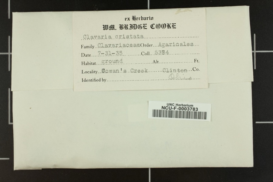 | Clavaria cristatula Henn. & E.Nyman | 1935 | Cooke, William Bridge | Cowan's Creek. |
_BHL4428192.jpg) | Cicada sayi Smith & Grossbeck, 1907 | 1906 | W. Templin | Blanchester |
 | Ditrichum pallidum (Hedw.) Hampe | 1913 | Braun, E. Lucy | |
 | Cladonia coniocraea (Flörke) Spreng. | 1923 | Braun, E. Lucy | Klock's Crossing |
 | Catharinea undulata (Hedw.) F.Weber & D.Mohr | 1930 | Fulford, Margaret H. | North of Westboro |
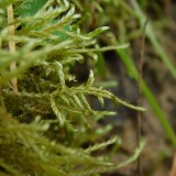 | Helodium paludosum (Austin) Austin ex Broth. | 1930 | Fulford, Margaret | north of Westboro |
 | Plagiothecium denticulatum (Hedw.) Schimp. | 1930 | Fulford, Margaret | north of Westboro |
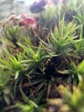 | Polytrichum ohioense Renauld & Cardot | 1930 | Fulford, Margaret | north of Westboro |
| Boletus L. | 1935 | Cooke, William Bridge | Cowan's Creek | |
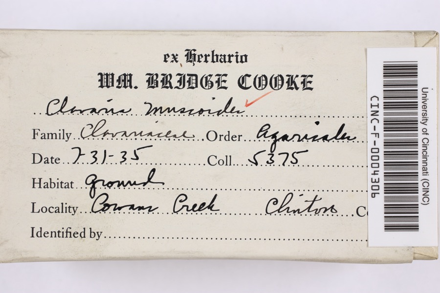 | Clavaria muscoides Linnaeus, 1753 | 1935 | Cooke, William Bridge | Cowan Creek |
All 275 specimens within 10 miles, at the Global Biodiversity Information Facility.
Storms near this place
6 since 1997Regional context, not property-specific evidence. The National Weather Service names Westboro in 6 storm reports between 1997 and 2025: 2 thunderstorm wind, 2 flood, 1 flash flood, 1 tornado. No death or injury is recorded in these reports. Each account below is quoted exactly as the forecast office filed it, from the NOAA Storm Events Database, and each date opens the federal record of that event.
| When | Event | Place named | Harm | What the report says |
|---|---|---|---|---|
| June 2008 | Thunderstorm Wind | Westboro | $15,000 | A large tree was blown down and a roof was blown off of a house near the intersection of Westboro Road and Old US Route 68. Several homes in this vicinity sustained minor roof and siding damage from fallen trees and large limbs. |
| July 2024 | Thunderstorm Wind | Westboro | $8,000 | A few trees and power lines were downed. |
| April 2025 | Tornado (EF0) | Westboro | $5,000 | The tornado began on Chaney Road, barely on the Clinton County side of the county line, where roof damage was observed on an outbuilding. On Weisflock Road, a barn was overturned and large tree limbs were knocked over. The last damage was observed on Oakgrove Road, where a barn was destroyed and tree damage was noted. |
| August 1997 | Flash Flood | Westboro | $5,000 | Thunderstorms with heavy rainfall lasted for several hours causing several roads to be closed due to high water flowing across them. |
| February 2025 | Flood | Westboro | - | High water was reported on Jonesboro and Hales Branch Roads. |
| April 2019 | Flood | Westboro | - | Hales Branch Rosd near Jonesboro Road, was closed due to high water. |
Nearest settlements
The eight closest, with where each one stands in the county. Distances are straight-line, computed from the Geographic Names Information System coordinates.
| Map | Place | Distance | Sheets |
|---|---|---|---|
| Midland | 1.7 miles | 14 | |
| Blanchester | 4.2 miles | 14 | |
| Klocks Crossing | 4.2 miles | 11 | |
| Jonesboro | 4.7 miles | 11 | |
| Pansy | 4.8 miles | 14 | |
| Martinsville | 5.9 miles | 11 | |
| Cuba | 6.0 miles | 11 | |
| Morrisville | 7.7 miles | 11 |
Provenance
This settlement is recorded in the Geographic Names Information System as feature 1058130. The sheet list is computed by point-in-boundary test against the United States Geological Survey's historical topographic inventory. Both are works of the United States government and carry no copyright under 17 U.S.C. 105.
Specimens. Global Biodiversity Information Facility (GBIF), https://www.gbif.org/. Only records licensed CC0 or CC BY are used. Records licensed CC BY-NC are excluded because this site carries advertising. Images are checked individually and any whose licence is non-commercial, no-derivatives or unreadable is refused.
Storms. NOAA National Centers for Environmental Information, Storm Events Database https://www.ncei.noaa.gov/stormevents/ A work of the United States government, no copyright under 17 U.S.C. 105. Narratives are quoted verbatim from the National Weather Service report and are not edited or summarised.