 Block
Block
Millersport, Ohio
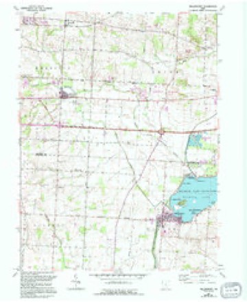
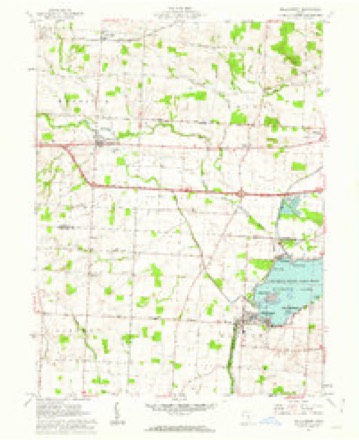
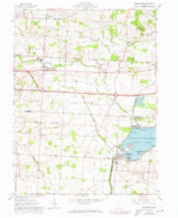
11 topographic sheets cover this place, the earliest surveyed in 1907 and the latest in 1984. It stands in Walnut Township. It lies in ZIP code area 43046. It stands on Liebs Island. The Survey maps it on the Millersport quadrangle. 978 people lived here at the 2020 count. It stands 899 feet above sea level.
Population over time
2 figuresMillersport fell from 1,044 to 978 between 2010 and 2020. These are the recorded population figures Wikidata holds for this place, reached through the Geographic Names Information System number this page is keyed on rather than by name, so they belong to this place and not to another of the same name. Most are census counts, but not all are: an early figure may be a founding or settlement estimate. The change column is computed, and is left blank where more than 20 years separate a figure from the one before it, because a gap that long is not a change between two counts.
| Year | People | Change |
|---|---|---|
| 2010 | 1,044 | |
| 2020 | 978 | -66 (-6%) |
Then and now
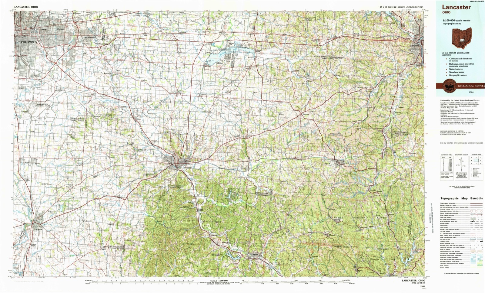
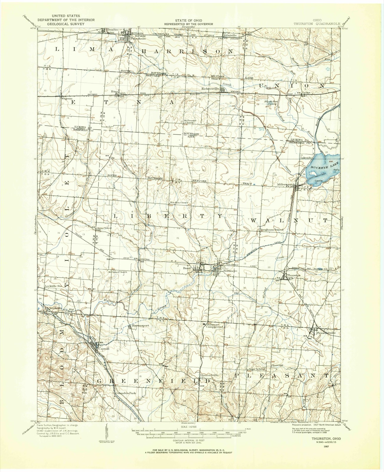
1907 to 1984The same ground, surveyed 77 years apart. Drag the handle to wipe between them. Both sheets are United States Geological Survey originals; neither has been altered.
Topographic sheets covering this place
11 sheetsMatched by testing this settlement's coordinate against the published boundary of every sheet in the United States Geological Survey's historical collection. Each opens the scanned sheet at the Survey.
- 1907 USGS Thurston quadrangle1:62500
- 1909 USGS Thurston quadrangle1:62500
- 1947 USGS Columbus quadrangle1:250000
- 1961 USGS Columbus quadrangle1:250000
- 1961 USGS Millersport quadrangle1:24000
- 1961 USGS Millersport quadrangle1:24000
- 1961 USGS Millersport quadrangle1:24000
- 1962 USGS Columbus quadrangle1:250000
- 1967 USGS Columbus quadrangle1:250000
- 1967 USGS Columbus quadrangle1:250000
- 1984 USGS Lancaster quadrangle1:100000






In the county-history sources
10,676 words on this townshipA Complete History of Fairfield County, Ohio, published 1877 names this settlement in its chapter on Walnut Township. These are the passages that mention it, exactly as the scans read.
Walnut is immediately north of Pleasant. New Salem and Millersport are the villages of Walnut Township ; the former is a place of some trade, and two churches; it was first settled, and is situated on the eastern border of the township. Millersport is situated at the southern point of the "Big Reservoir," and just where the Ohio Canal enters it. Its thrift and importance is owing, in a large degree, to the fisheries of that artificial lake, which is of several miles in extent in its greatest diameter. The reservoir was formed to supply water to the canal in dry seasons; it is in the northern part of the township. Millersport has the usual churches and schools. Its commerce has been considerable, on account of the shipment of grain and other produce.
Passage source: A Complete History of Fairfield County, Ohio, published 1877.
In 1806, there were not exceeding a dozen families within its borders, and they were distributed in different parts of its territory. Some of these have reached me. Of them I record, William Murphy, Asa Murphy, the Cravvfords, Hendrixes, Watsons, and David Lyly.
Passage source: A Complete History of Fairfield County, Ohio, published 1877.
Dr. H. Scott - Dear Sir: The note you intended for Charles Wiseman was placed in my box, there being no man' by that name residing in the neighborhood. Not having come to this neighborhood until 1818, I have most of my information from first settlers.
Passage source: A Complete History of Fairfield County, Ohio, published 1877.
Machine-read from a century-old scan, so expect the errors a machine makes: misspelled names, dropped words, stray characters.
Read the whole chapter on Walnut Township - it names this place 9 more 9 times.
Fires near this place
4 since 2009Regional context, not property-specific evidence. The federal wildfire occurrence database lists 4 fires within 5 miles of Millersport between 2009 and 2020, burning about 6 acres in total. None started naturally. None was recorded as arson. Distance is straight-line from the map coordinates, so a fire counted here may appear on a neighbouring settlement's page as well.
| Reported cause | Fires |
|---|---|
| Debris and open burning | 3 |
| Equipment and vehicle use | 1 |
The most recent of them, most recent first, with the day each was reported and the service that recorded it.
| Date | Cause | Size | Reported by | Name on the report |
|---|---|---|---|---|
| 20 June 2020 | Equipment and vehicle use | 1.0 acres | Ohio Department of Natural Resources | 15762 |
| 1 March 2009 | Debris and open burning | 4.5 acres | Ohio Department of Natural Resources | not named |
| 19 November 2020 | Debris and open burning | 1.0 acres | Ohio Department of Natural Resources | 15969 |
| 4 October 2020 | Debris and open burning | under an acre | Ohio Department of Natural Resources | 15838 |
Settlements close enough to share some of these fires:
Specimens collected near this place
12 of 1,050 shownRegional context, not property-specific evidence. Museums hold 1,050 specimens collected within 10 miles of Millersport between 1843 and 1975: 929 Animalia, 77 Fungi, 44 Plantae. 12 distinct Species records are shown. Collected by A. Gray; W. S. Sullivant, Albertin, Asa Gray; W. S. Sullivant and others. Each is a physical object with a catalogue number, and each entry opens the museum's record. This is what was collected and kept, not a survey of what lives here - nothing can be concluded from a species being absent.
| Image | Species | Year | Collected by | Where, as recorded |
|---|---|---|---|---|
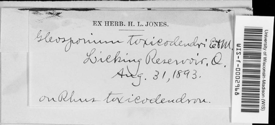 | Cylindrosporium Grev., 1822 | 1893 | unknown | Licking Reservoir |
 | Helodium paludosum (Austin) Austin ex Broth. | 1843 | Asa Gray; W. S. Sullivant | in Cranberry Marsh, northern Ohio |
 | Hypnum paludosum (Hedw.) P.Beauv. | 1843 | A. Gray; W. S. Sullivant | in Cranberry Marsh, northern Ohio |
 | Philomachus pugnax (Linnaeus, 1758) | 1872 | Jasper, T. (Theodore) | Buckeye Lake, Ohio, USA |
 | Limosa fedoa (Linnaeus, 1758) | 1881 | not recorded | Buckeye Lake, Licking, Ohio, USA |
 | Ranunculus longirostris Godr. | 1893 | E. M. Wilcox | Licking Reservoir |
 | Lepomis macrochirus Rafinesque, 1819 | 1897 | Williamson, E. B. & Osburn, R. C. (Raymond Carroll) | Buckeye Lake, Walnut township, ~1.1 mi W of Fairfield Beach, Walnut township |
 | Dicentra cucullaria (L.) Bernh. | 1900 | Williamson, E.B. | New Salem |
 | Arethusa bulbosa L. | 1901 | C. S. Mead | Buckeye Lake |
 | Ambystoma texanum (Matthes, 1855) | 1929 | Trautman, M. B. (Milton Bernard) | Buckeye Lake, Walnut Twp., Fairfield Co., Ohio |
 | Campostoma anomalum anomalum | 1929 | Trautman, M. B. (Milton Bernard) & Gordon, R. B. (Robert B.) | Honey Creek, within Thorn township, near Thornville, Thorn township |
 | Carpiodes cyprinus hinei Trautman, 1956 | 1929 | MB Trautman | Buckeye Lake, Lieb's Island |
All 1,050 specimens within 10 miles, at the Global Biodiversity Information Facility.
Storms near this place
20 since 1997Regional context, not property-specific evidence. The National Weather Service names Millersport in 20 storm reports between 1997 and 2022: 14 thunderstorm wind, 3 flood, 2 hail, 1 flash flood. No death or injury is recorded in these reports. Each account below is quoted exactly as the forecast office filed it, from the NOAA Storm Events Database, and each date opens the federal record of that event.
| When | Event | Place named | Harm | What the report says |
|---|---|---|---|---|
| July 2001 | Thunderstorm Wind | Millersport | $25,000 | A barn was blown off its foundation and numerous trees were knocked down. |
| February 2011 | Thunderstorm Wind | Millersport | $20,000 | Two homes were damaged due to thunderstorm winds. |
| May 2003 | Thunderstorm Wind | Millersport | $20,000 | A weak microburst caused minor damage to a few structures on the north side of town. One house and a car wash sustained minor roof and siding damage. A wooden sign was also blown over. All debris was blown unidirectionally. |
| September 2007 | Thunderstorm Wind | Millersport | $15,000 | Twenty trees were downed along the south shore of Buckeye Lake. Three homes sustained minor damage from the tree debris. Several large limbs were thrown into the lake, and a few metal flag poles were bent. Damage may have come from a possible microburst. |
| July 2022 | Thunderstorm Wind | Millersport | $12,000 | Several power poles were snapped in the 11000 block of Lancaster-Newark Road. Several large tree branches were also downed. |
| July 2017 | Thunderstorm Wind | Millersport | $5,000 | A few trees and power lines were downed in and around the Millersport area. |
| November 2002 | Thunderstorm Wind | Millersport | $5,000 | High winds caused minor structural damage to several homes. |
| July 1997 | Flash Flood | Millersport | $5,000 | Several roads were closed across the county due to heavy rainfall. |
| July 1997 | Thunderstorm Wind | Millersport | $5,000 | Numerous trees downed. |
| June 2013 | Thunderstorm Wind | Millersport | $3,000 | Trees were reported down in the Millersport area due to thunderstorm winds. |
| March 2007 | Flood | Millersport | $3,000 | A few roads were flooded and closed. |
| July 2003 | Thunderstorm Wind | Millersport | $3,000 | Trees were downed. |
| April 2003 | Thunderstorm Wind | Millersport | $3,000 | A few road signs were knocked down in Fairfield Beach. |
| June 1998 | Thunderstorm Wind | Millersport | $3,000 | Trees downed. |
| May 2018 | Thunderstorm Wind | Millersport | $1,000 | A tree was downed near Millersport. |
| November 2011 | Thunderstorm Wind | Millersport | $1,000 | A tree was reported down due to damaging thunderstorm winds. |
| July 2019 | Flood | Millersport | - | High water was reported along a portion of Cherry Lane. |
| July 2019 | Flood | Millersport | - | High water was reported in the 12000 block of Lancaster-Kirkersville Road. |
| June 2011 | Hail | Millersport | - | no account filed |
| July 2011 | Hail | Millersport | - | no account filed |
Nearest settlements
The eight closest, with where each one stands in the county. Distances are straight-line, computed from the Geographic Names Information System coordinates.
| Map | Place | Distance | Sheets |
|---|---|---|---|
| Summerland Beach | 0.5 miles | 11 | |
| East Millersport | 1.4 miles | 11 | |
| Monticello (historical) | 1.5 miles | 11 | |
| Lakeside | 1.7 miles | 11 | |
| Shell Beach | 2.9 miles | 14 | |
| Fairfield Beach | 3.3 miles | 14 | |
| Kellers Court | 4.0 miles | 12 | |
| Thurston | 4.2 miles | 12 |
Elsewhere
Matched on this settlement's Geographic Names Information System number rather than its name, so it cannot be a different place of the same name in another state.
| Wikipedia article on Millersport | An encyclopaedic summary. Its text is share-alike, so it is linked here rather than copied. |
| Wikidata item Q2163499 | The structured record the population and elevation above come from. Public domain (CC0). |
Provenance
This settlement is recorded in the Geographic Names Information System as feature 1043380. The sheet list is computed by point-in-boundary test against the United States Geological Survey's historical topographic inventory. Both are works of the United States government and carry no copyright under 17 U.S.C. 105.
Wildfire. Short, Karen C. 2022. Spatial wildfire occurrence data for the United States, 1992-2020 [FPA_FOD_20221014]. 6th Edition. Fort Collins, CO: Forest Service Research Data Archive. https://doi.org/10.2737/RDS-2013-0009.6 Collected with United States Government funding and usable without additional permissions or fees.
Specimens. Global Biodiversity Information Facility (GBIF), https://www.gbif.org/. Only records licensed CC0 or CC BY are used. Records licensed CC BY-NC are excluded because this site carries advertising. Images are checked individually and any whose licence is non-commercial, no-derivatives or unreadable is refused.
Storms. NOAA National Centers for Environmental Information, Storm Events Database https://www.ncei.noaa.gov/stormevents/ A work of the United States government, no copyright under 17 U.S.C. 105. Narratives are quoted verbatim from the National Weather Service report and are not edited or summarised.