 Block
Block
Thurston, Ohio
12 topographic sheets cover this place, the earliest surveyed in 1907 and the latest in 1984. It stands in Walnut Township. It lies in ZIP code area 43105. The Survey maps it on the Baltimore quadrangle. 603 people lived here at the 2020 count. It stands 883 feet above sea level.
Population over time
2 figuresThurston fell from 604 to 603 between 2010 and 2020. These are the recorded population figures Wikidata holds for this place, reached through the Geographic Names Information System number this page is keyed on rather than by name, so they belong to this place and not to another of the same name. Most are census counts, but not all are: an early figure may be a founding or settlement estimate. The change column is computed, and is left blank where more than 20 years separate a figure from the one before it, because a gap that long is not a change between two counts.
| Year | People | Change |
|---|---|---|
| 2010 | 604 | |
| 2020 | 603 | -1 (-0%) |
Then and now
1907 to 1984The same ground, surveyed 77 years apart. Drag the handle to wipe between them. Both sheets are United States Geological Survey originals; neither has been altered.
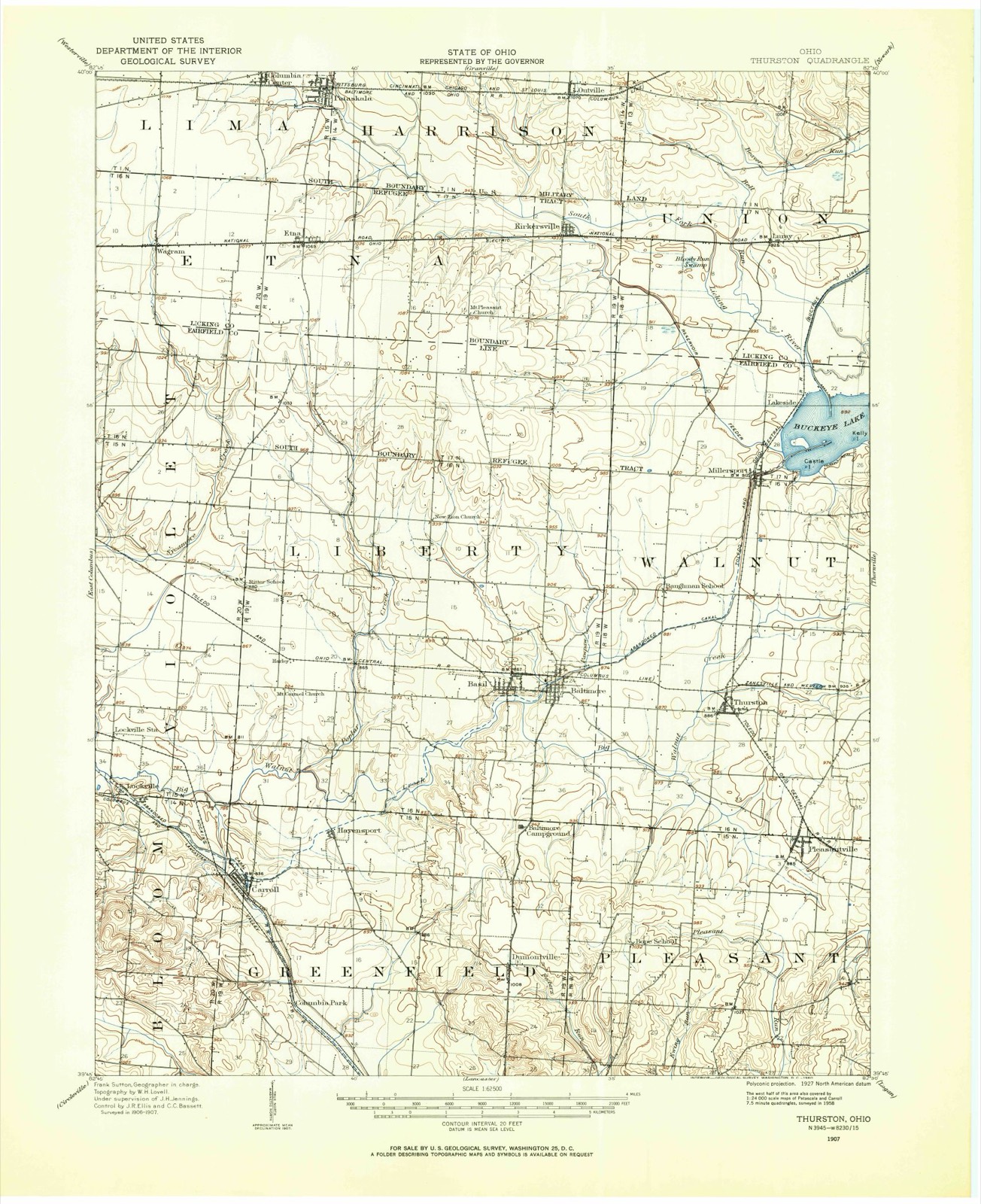
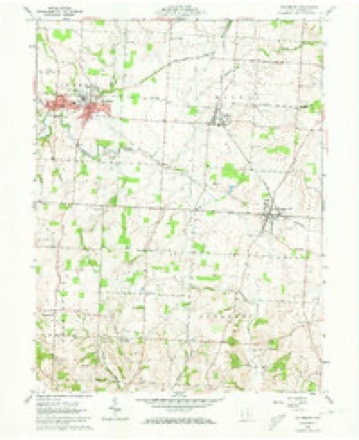
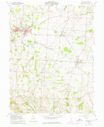
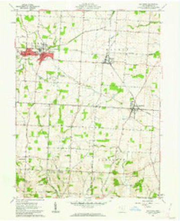
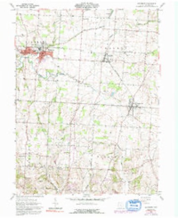
Topographic sheets covering this place
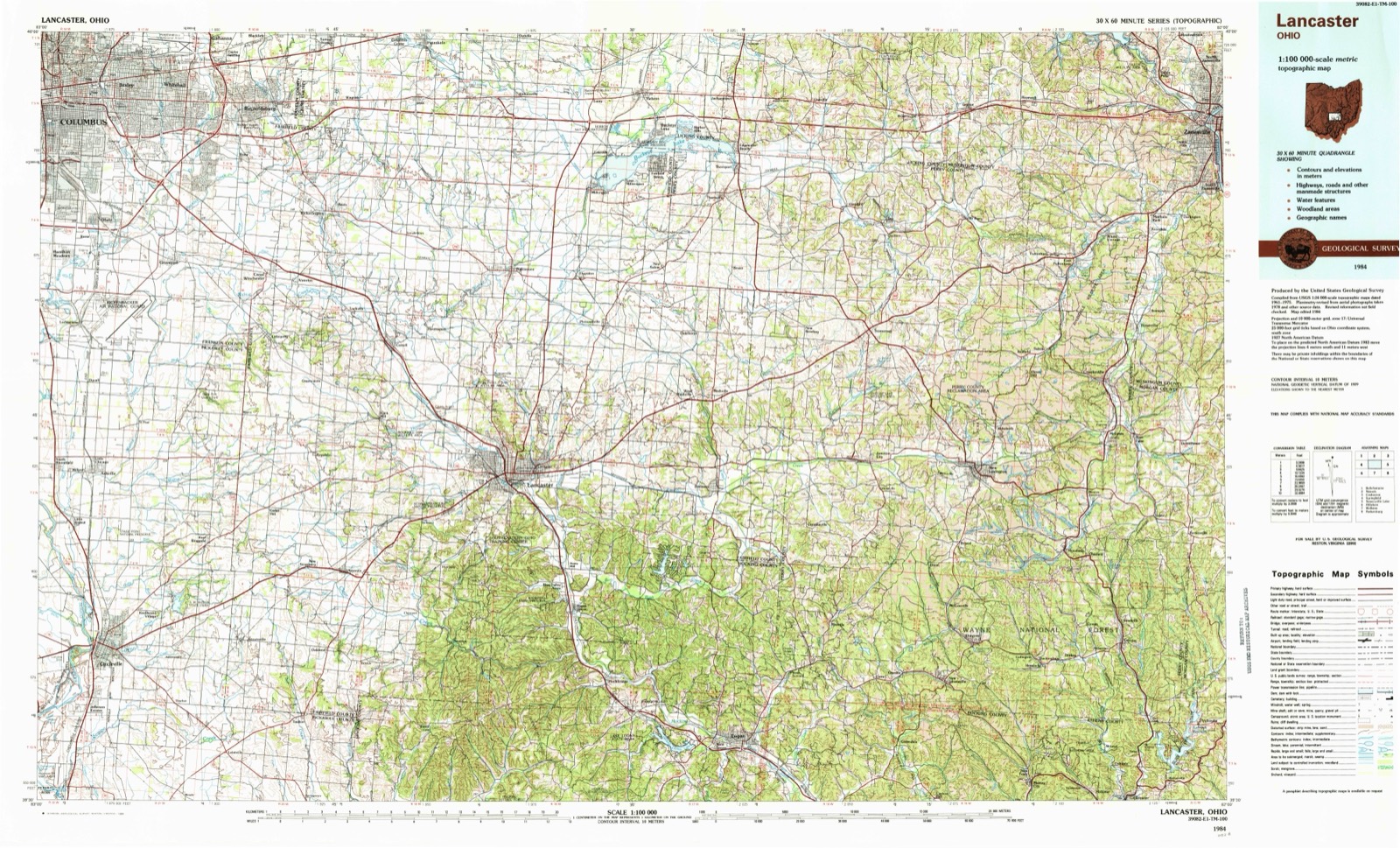
12 sheetsMatched by testing this settlement's coordinate against the published boundary of every sheet in the United States Geological Survey's historical collection. Each opens the scanned sheet at the Survey.
- 1907 USGS Thurston quadrangle1:62500
- 1909 USGS Thurston quadrangle1:62500
- 1947 USGS Columbus quadrangle1:250000
- 1961 USGS Baltimore quadrangle1:24000
- 1961 USGS Baltimore quadrangle1:24000
- 1961 USGS Baltimore quadrangle1:24000
- 1961 USGS Baltimore quadrangle1:24000
- 1961 USGS Columbus quadrangle1:250000
- 1962 USGS Columbus quadrangle1:250000
- 1967 USGS Columbus quadrangle1:250000
- 1967 USGS Columbus quadrangle1:250000
- 1984 USGS Lancaster quadrangle1:100000






In the county-history sources
10,676 words on this townshipA Complete History of Fairfield County, Ohio, published 1877 names this settlement in its chapter on Walnut Township. These are the passages that mention it, exactly as the scans read.
Dr. H. Scott - Dear Sir: The note you intended for Charles Wiseman was placed in my box, there being no man' by that name residing in the neighborhood. Not having come to this neighborhood until 1818, I have most of my information from first settlers.
Passage source: A Complete History of Fairfield County, Ohio, published 1877.
The first religious meetings I remember were held in the cabins of Gundy and Reynolds, who were Methodists. Among the preachers that I remember, were Revs. Bright and Jesse Spurgeon. The Baptists preached at our school-house ; and Lewis Seits, Eli Ashbrook, Mr. Baker and Benjamin Caves preached there.
Passage source: A Complete History of Fairfield County, Ohio, published 1877.
Our nearest neighbor was Mr. Crossen, when we first settled on the bank of Pleasant Run. It was some years before we began to have comfortable roads. At first we blazed the trees so as to go from one house to another. The woods were full of wild-turkeys, which, when the corii got ripe, came into the fields and preyed upon it, and it was a part of the duty of the children to go and scare them away. In the spring and fall the crows and black-birds were often very destructive to the cornfields. In the spring they pulled up the little stalks to get the grain from the root, and in the fall they eat the corn from the cob when the grains were soft. Raccoons were also troublesome. We put up scare-crows, and went round the fields continually to frighten them away. But the greatest enemies the cornfields had in the fall of the year were the squirrels, which some years came in such numbers as to absolutely defy our vigilance.
Passage source: A Complete History of Fairfield County, Ohio, published 1877.
Machine-read from a century-old scan, so expect the errors a machine makes: misspelled names, dropped words, stray characters.
Read the whole chapter on Walnut Township - it names this place 8 more 8 times.
Fires near this place
4 since 2008Regional context, not property-specific evidence. The federal wildfire occurrence database lists 4 fires within 5 miles of Thurston between 2008 and 2020, burning about 3 acres in total. None started naturally. None was recorded as arson. Distance is straight-line from the map coordinates, so a fire counted here may appear on a neighbouring settlement's page as well.
| Reported cause | Fires |
|---|---|
| Missing data/not specified/undetermined | 2 |
| Fireworks | 1 |
| Equipment and vehicle use | 1 |
The most recent of them, most recent first, with the day each was reported and the service that recorded it.
| Date | Cause | Size | Reported by | Name on the report |
|---|---|---|---|---|
| 1 August 2020 | Missing data/not specified/undetermined | under an acre | Ohio Department of Natural Resources | 15800 |
| 5 July 2020 | Fireworks | 1.0 acres | Ohio Department of Natural Resources | 15801 |
| 20 June 2020 | Equipment and vehicle use | 1.0 acres | Ohio Department of Natural Resources | 15762 |
| 24 April 2008 | Missing data/not specified/undetermined | 1.0 acres | Wayne National Forest | BLACKFORK CAR FIRE |
Settlements close enough to share some of these fires:
Specimens collected near this place
12 of 2,401 shownRegional context, not property-specific evidence. Museums hold 2,401 specimens collected within 10 miles of Thurston between 1843 and 1975: 1,957 Animalia, 335 Fungi, 101 Plantae, 6 Protozoa, 2 Chromista. 12 distinct Species records are shown. Collected by A. Gray; W. S. Sullivant, Albertin, Asa Gray; W. S. Sullivant and others. Each is a physical object with a catalogue number, and each entry opens the museum's record. This is what was collected and kept, not a survey of what lives here - nothing can be concluded from a species being absent.
| Image | Species | Year | Collected by | Where, as recorded |
|---|---|---|---|---|
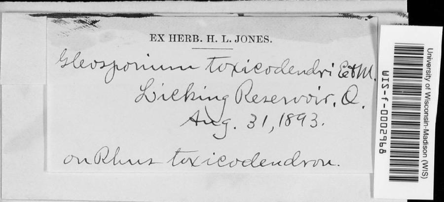 | Cylindrosporium Grev., 1822 | 1893 | unknown | Licking Reservoir |
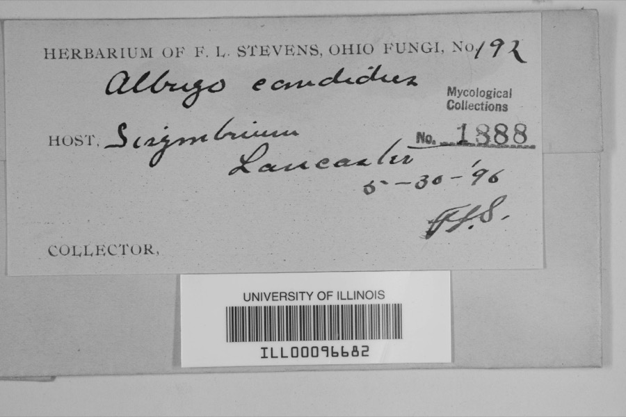 | Albugo candida (Pers. ex J.F.Gmel.) Roussel | 1896 | F.L. Stevens | Lancaster |
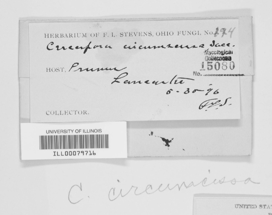 | Cercospora circumscissa Sacc. | 1896 | F.L. Stevens | |
 | Bryoxiphium norvegicum (Brid.) Mitt. | 1843 | Asa Gray; W. S. Sullivant | near Lancaster |
 | Helodium paludosum (Austin) Austin ex Broth. | 1843 | Asa Gray; W. S. Sullivant | in Cranberry Marsh, northern Ohio |
 | Hypnum paludosum (Hedw.) P.Beauv. | 1843 | A. Gray; W. S. Sullivant | in Cranberry Marsh, northern Ohio |
 | Phyllogonium norvegicum Brid. | 1843 | Gray, A.; W. S. Sullivant | near Lancaster |
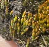 | Bruchia flexuosa (Schwägr.) Müll.Hal. | 1849 | C. L. Lesquereux | Lancaster |
 | Dicranodontium denudatum (Brid.) E.Britton | 1849 | C. L. Lesquereux | |
| Aecidium compositarum Mart. | 1883 | W. A. Kellerman | ||
| Aecidium galiorum Pers. | 1883 | W. A. Kellerman | ||
| Aleurodiscus candidus (Schwein.) Burt | 1883 | W.A. Kellerman | Lancaster |
All 2,401 specimens within 10 miles, at the Global Biodiversity Information Facility.
Storms near this place
7 since 2002Regional context, not property-specific evidence. The National Weather Service names Thurston in 7 storm reports between 2002 and 2026: 3 thunderstorm wind, 2 flood, 1 hail, 1 tornado. No death or injury is recorded in these reports. Each account below is quoted exactly as the forecast office filed it, from the NOAA Storm Events Database, and each date opens the federal record of that event.
| When | Event | Place named | Harm | What the report says |
|---|---|---|---|---|
| February 2011 | Tornado (EF1) | Thurston | $100,000 | The tornado touched down south of Millersport near the intersection of Millersport Road and Canal Road where tree damage was observed. The tornado then continued to the east and directly hit a farm on the north side of Canal Road. At this location, metal grain bins were tossed and rolled and trees were uprooted. A masonry wall was also flattened and numerous objects were impaled into the ground as well. A newly constructed barn had the roof removed and numerous pieces of sheet metal were strewn into adjoining fields. The tornado then continued on and hit two residences on Lake Road. A modular home had the roof completely removed and tossed and trees were uprooted. A barn was completely destroyed in the area as well. At another residence, one of the exterior walls was buckled from the wind blowing the door of the home open. Corn debris from a nearby field was driven into the ground. A stick was found driven into the siding on the front of the home. |
| June 2008 | Flood | Thurston | $5,000 | State Route 37 was closed just south of route 256 due to the Walnut Creek coming out of its banks. The depth of the water on the road was two to three feet. |
| June 2022 | Thunderstorm Wind | Thurston | $2,000 | A few trees were downed near Thurston. |
| July 2013 | Thunderstorm Wind | Thurston | $1,000 | A large tree was downed on Route 256 due to thunderstorm winds. |
| March 2026 | Flood | Thurston | - | Leitnaker Road NE between Old Millersport Road NE and State Route 37 had high water over the roadway. |
| June 2018 | Thunderstorm Wind | Thurston | - | Damage was reported to corn in a field, as the stalks were bent over or flattened in a circle shape. |
| July 2002 | Hail | Thurston | - | no account filed |
Nearest settlements
The eight closest, with where each one stands in the county. Distances are straight-line, computed from the Geographic Names Information System coordinates.
| Map | Place | Distance | Sheets |
|---|---|---|---|
| Kellers Court | 0.3 miles | 12 | |
| Pleasantville | 2.5 miles | 12 | |
| Baltimore | 2.9 miles | 12 | |
| New Salem | 3.9 miles | 12 | |
| Millersport | 4.2 miles | 11 | |
| Monticello (historical) | 4.2 miles | 11 | |
| Summerland Beach | 4.3 miles | 11 | |
| East Millersport | 4.8 miles | 11 |
Elsewhere
Matched on this settlement's Geographic Names Information System number rather than its name, so it cannot be a different place of the same name in another state.
| Wikipedia article on Thurston | An encyclopaedic summary. Its text is share-alike, so it is linked here rather than copied. |
| Wikidata item Q2671173 | The structured record the population and elevation above come from. Public domain (CC0). |
Provenance
This settlement is recorded in the Geographic Names Information System as feature 1047053. The sheet list is computed by point-in-boundary test against the United States Geological Survey's historical topographic inventory. Both are works of the United States government and carry no copyright under 17 U.S.C. 105.
Wildfire. Short, Karen C. 2022. Spatial wildfire occurrence data for the United States, 1992-2020 [FPA_FOD_20221014]. 6th Edition. Fort Collins, CO: Forest Service Research Data Archive. https://doi.org/10.2737/RDS-2013-0009.6 Collected with United States Government funding and usable without additional permissions or fees.
Specimens. Global Biodiversity Information Facility (GBIF), https://www.gbif.org/. Only records licensed CC0 or CC BY are used. Records licensed CC BY-NC are excluded because this site carries advertising. Images are checked individually and any whose licence is non-commercial, no-derivatives or unreadable is refused.
Storms. NOAA National Centers for Environmental Information, Storm Events Database https://www.ncei.noaa.gov/stormevents/ A work of the United States government, no copyright under 17 U.S.C. 105. Narratives are quoted verbatim from the National Weather Service report and are not edited or summarised.