 Block
Block
Milton Center, Ohio
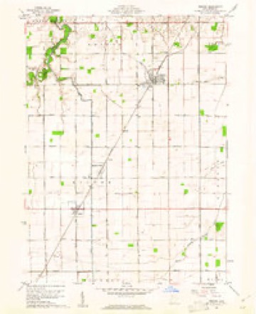
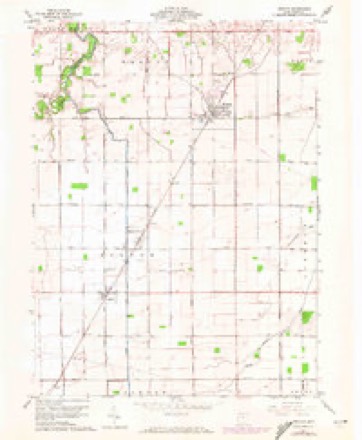
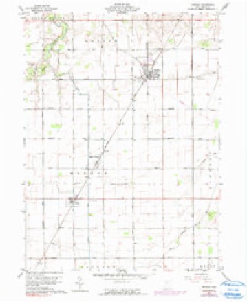
12 topographic sheets cover this place, the earliest surveyed in 1909 and the latest in 1986. It stands in Milton Township. It lies in ZIP code area 43541. The Survey maps it on the Weston quadrangle. 137 people lived here at the 2020 count. It stands 689 feet above sea level.
Population over time
2 figuresMilton Center fell from 144 to 137 between 2010 and 2020. These are the recorded population figures Wikidata holds for this place, reached through the Geographic Names Information System number this page is keyed on rather than by name, so they belong to this place and not to another of the same name. Most are census counts, but not all are: an early figure may be a founding or settlement estimate. The change column is computed, and is left blank where more than 20 years separate a figure from the one before it, because a gap that long is not a change between two counts.
| Year | People | Change |
|---|---|---|
| 2010 | 144 | |
| 2020 | 137 | -7 (-5%) |
Then and now
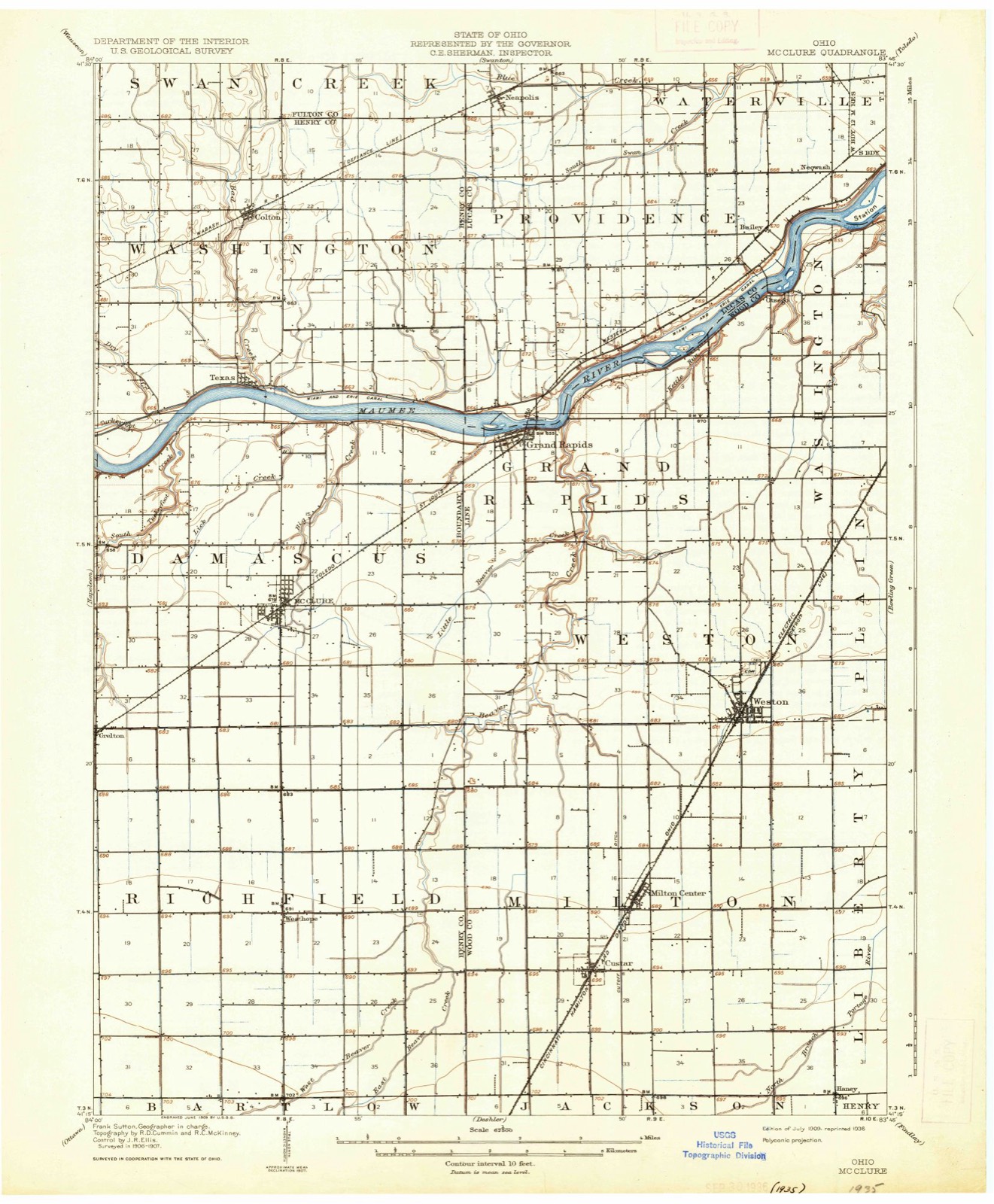
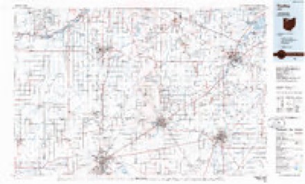
1909 to 1986The same ground, surveyed 77 years apart. Drag the handle to wipe between them. Both sheets are United States Geological Survey originals; neither has been altered.
Compare 1909 against another survey:
Topographic sheets covering this place
12 sheetsMatched by testing this settlement's coordinate against the published boundary of every sheet in the United States Geological Survey's historical collection. Each opens the scanned sheet at the Survey.
- 1909 USGS Mc Clure quadrangle1:62500
- 1909 USGS Mc Clure quadrangle1:62500
- 1956 USGS Toledo quadrangle1:250000
- 1956 USGS Toledo quadrangle1:250000
- 1956 USGS Toledo quadrangle1:250000
- 1956 USGS Toledo quadrangle1:250000
- 1960 USGS Weston quadrangle1:24000
- 1960 USGS Weston quadrangle1:24000
- 1960 USGS Weston quadrangle1:24000
- 1961 USGS Toledo quadrangle1:250000
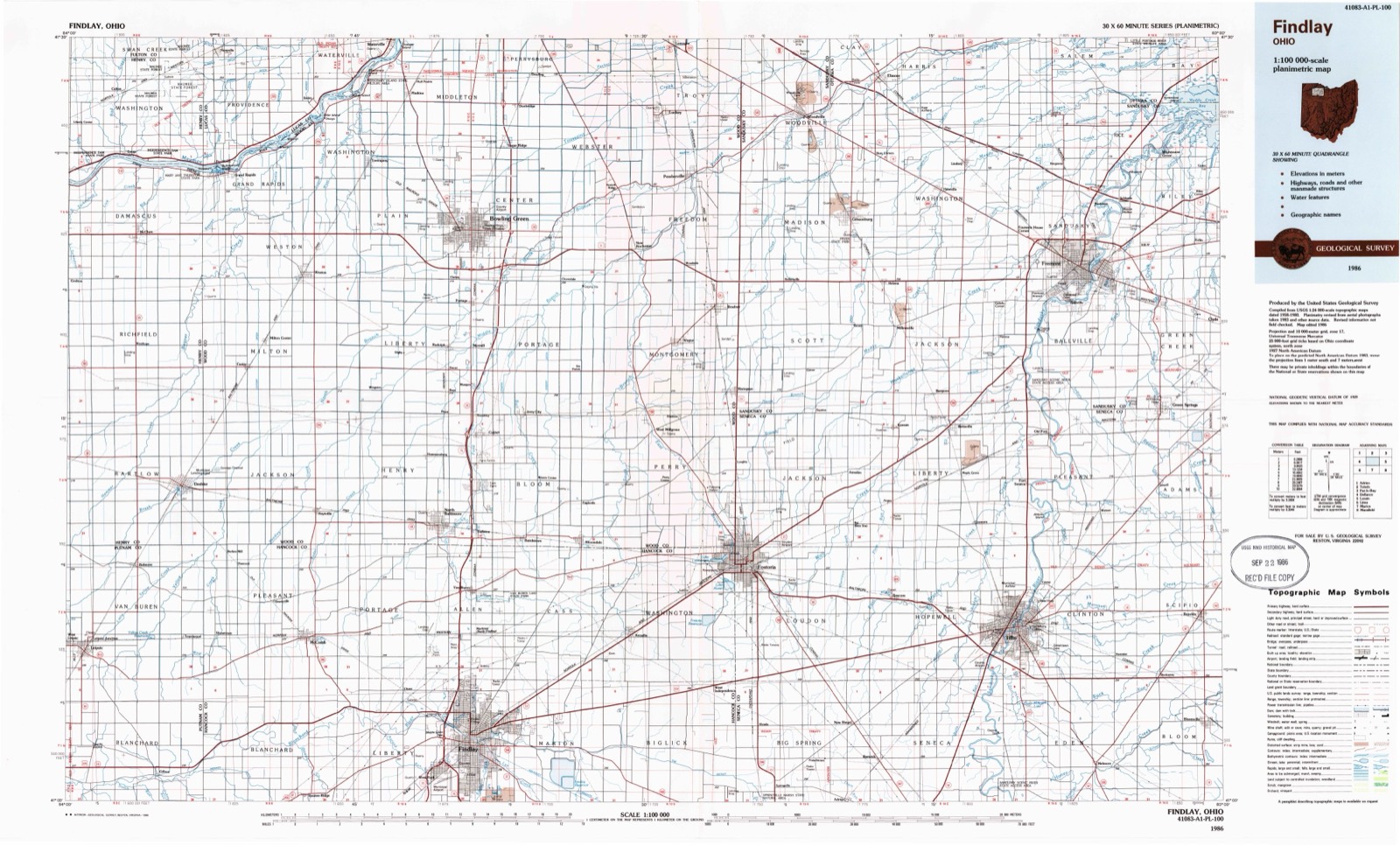
- 1986 USGS Findlay quadrangle1:100000
- 1986 USGS Findlay quadrangle1:100000





What happened here
An account from the chapter on Milton township, in the words of 1897.
Wild Hogs
THE earliest recollections we have from the first settlers all speak of the great numbers of wild hogs that frequented the woods in the Black Swamp. They were more numerous at times than the deer and many years later they were captured in the dense woods north of what is called the "Devil's Hole."
In the 1897 county history
7,472 words on this townshipThe county history of 1897 has no passage naming this settlement, which was common for the smaller places. Its township is covered in full.
The chapter on Milton Township covers comparative statistics, population, first elections, township officials, pioneer land buyers, a reminiscence.
Read the chapter on Milton Township - 7,472 words.
Specimens collected nearby
12 of 321 shownMuseums hold 321 specimens collected within 10 miles of Milton Center between 1860 and 1975: 311 Animalia, 8 Plantae, 2 Fungi. 12 distinct Species records are shown. Collected by B. BURGER, Bureau of Fisheries, Collector(s): Nixon Wilson and others. Each is a physical object with a catalogue number, and each entry opens the museum's record. This is what was collected and kept, not a survey of what lives here - nothing can be concluded from a species being absent.
| Image | Species | Year | Collected by | Where, as recorded |
|---|---|---|---|---|
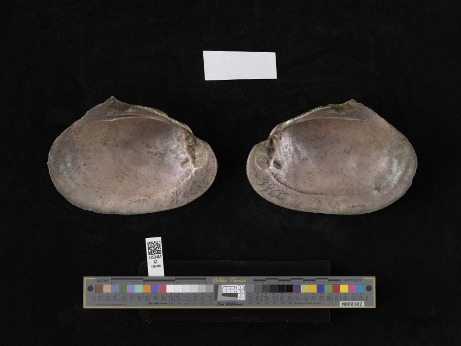 | Lampsilis alata (Say, 1817) | 1908 | not recorded | Grand Rapids |
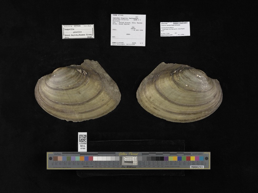 | Leptodea fragilis (Rafinesque, 1820) | 1908 | not recorded | Maumee River, Grand Rapids |
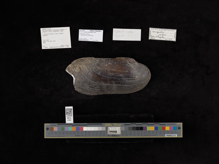 | Ligumia recta (Lamarck, 1819) | 1908 | Bureau of Fisheries | Grand Rapids |
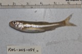 | Notropis hudsonius (Clinton, 1824) | 1860 | unknown | Grand Rapids, Maumee R. |
 | Cambarus rusticus Girard, 1852 | 1893 | United States Fish Commission | Beaver Creek, Grand Rapids |
 | Chrysemys picta (Schneider, 1783) | 1893 | not recorded | Grand Rapids, Maumee River |
 | Ericymba buccata Cope, 1865 | 1893 | P. Kirsch | Maumee River, Grand Rapids, Ohio |
 | Etheostoma flabellare Rafinesque, 1819 | 1893 | PH Kirsch | Beaver Creek, from mouth (at Maumee) up for 3 mi; near Grand Rapids; Maumee River dr |
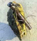 | Graptemys geographica (Lesueur, 1817) | 1893 | not recorded | Grand Rapids, Maumee River |
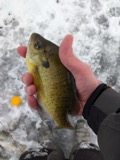 | Lepomis macrochirus Rafinesque, 1819 | 1893 | P. Kirsch | Maumee River, Grand Rapids, Ohio |
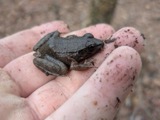 | Lithobates clamitans (Latreille, 1801) | 1893 | not recorded | Grand Rapids, Beaver Creek |
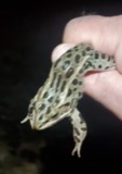 | Lithobates pipiens (Schreber, 1782) | 1893 | not recorded | Grand Rapids, Beaver Creek |
All 321 specimens within 10 miles, at the Global Biodiversity Information Facility.
Mines and quarries nearby
1 within 5 milesThe federal mineral resources record lists 1 working within 5 miles of Milton Center: 1 producer. All of them still produce. What was taken out: Stone, Crushed/Broken. Distance is straight-line from the map coordinates, so a quarry counted here may appear on a neighbouring settlement's page as well.
| Where | Site | Commodity | Status | Recorded |
|---|---|---|---|---|
| Custar Stone Quarry | Stone, Crushed/Broken | Producer |
Storms nearby
1 since 2026The National Weather Service names Milton Center in 1 storm report between 2026 and 2026: 1 thunderstorm wind. No death or injury is recorded in these reports. Each account below is quoted exactly as the forecast office filed it, from the NOAA Storm Events Database, and each date opens the federal record of that event.
| When | Event | Place named | Harm | What the report says |
|---|---|---|---|---|
| April 2026 | Thunderstorm Wind | Milton Center | - | Tree downed in Milton Center. |
Nearest settlements
The eight closest, with where each one stands in the county. Distances are straight-line, computed from the Geographic Names Information System coordinates.
| Map | Place | Distance | Sheets |
|---|---|---|---|
| Custar | 1.5 miles | 12 | |
| Weston | 3.4 miles | 12 | |
| Haney (historical) | 4.6 miles | 12 | |
| Farnham (historical) | 5.6 miles | 10 | |
| Wingston | 5.8 miles | 14 | |
| Digby | 6.4 miles | 14 | |
| Grand Rapids | 7.8 miles | 16 | |
| Hoytville | 8.1 miles | 11 |
Elsewhere
Matched on this settlement's Geographic Names Information System number rather than its name, so it cannot be a different place of the same name in another state.
| Wikipedia article on Milton Center | An encyclopaedic summary. Its text is share-alike, so it is linked here rather than copied. |
| Wikidata item Q2391589 | The structured record the population and elevation above come from. Public domain (CC0). |
Provenance
This settlement is recorded in the Geographic Names Information System as feature 1080513. The sheet list is computed by point-in-boundary test against the United States Geological Survey's historical topographic inventory. Both are works of the United States government and carry no copyright under 17 U.S.C. 105.
Specimens. Global Biodiversity Information Facility (GBIF), https://www.gbif.org/. Only records licensed CC0 or CC BY are used. Records licensed CC BY-NC are excluded because this site carries advertising. Images are checked individually and any whose licence is non-commercial, no-derivatives or unreadable is refused.
Mines and quarries. USGS Mineral Resources Data System (MRDS) https://mrdata.usgs.gov/mrds/ A work of the United States government, no copyright under 17 U.S.C. 105.
Storms. NOAA National Centers for Environmental Information, Storm Events Database https://www.ncei.noaa.gov/stormevents/ A work of the United States government, no copyright under 17 U.S.C. 105. Narratives are quoted verbatim from the National Weather Service report and are not edited or summarised.