 Block
Block
Weston, Ohio
12 topographic sheets cover this place, the earliest surveyed in 1909 and the latest in 1986. It stands in Weston Township. It lies in ZIP code area 43569. The Survey maps it on the Weston quadrangle. 1,455 people lived here at the 2020 count. It stands 679 feet above sea level.
Population over time
2 figuresWeston fell from 1,590 to 1,455 between 2010 and 2020. These are the recorded population figures Wikidata holds for this place, reached through the Geographic Names Information System number this page is keyed on rather than by name, so they belong to this place and not to another of the same name. Most are census counts, but not all are: an early figure may be a founding or settlement estimate. The change column is computed, and is left blank where more than 20 years separate a figure from the one before it, because a gap that long is not a change between two counts.
| Year | People | Change |
|---|---|---|
| 2010 | 1,590 | |
| 2020 | 1,455 | -135 (-8%) |
Then and now
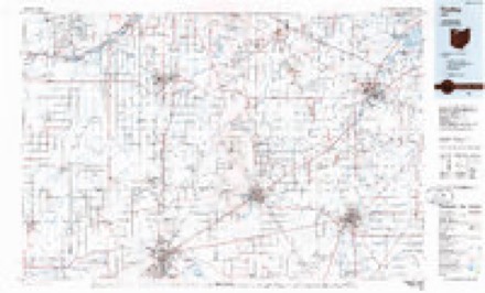
1909 to 1986The same ground, surveyed 77 years apart. Drag the handle to wipe between them. Both sheets are United States Geological Survey originals; neither has been altered.
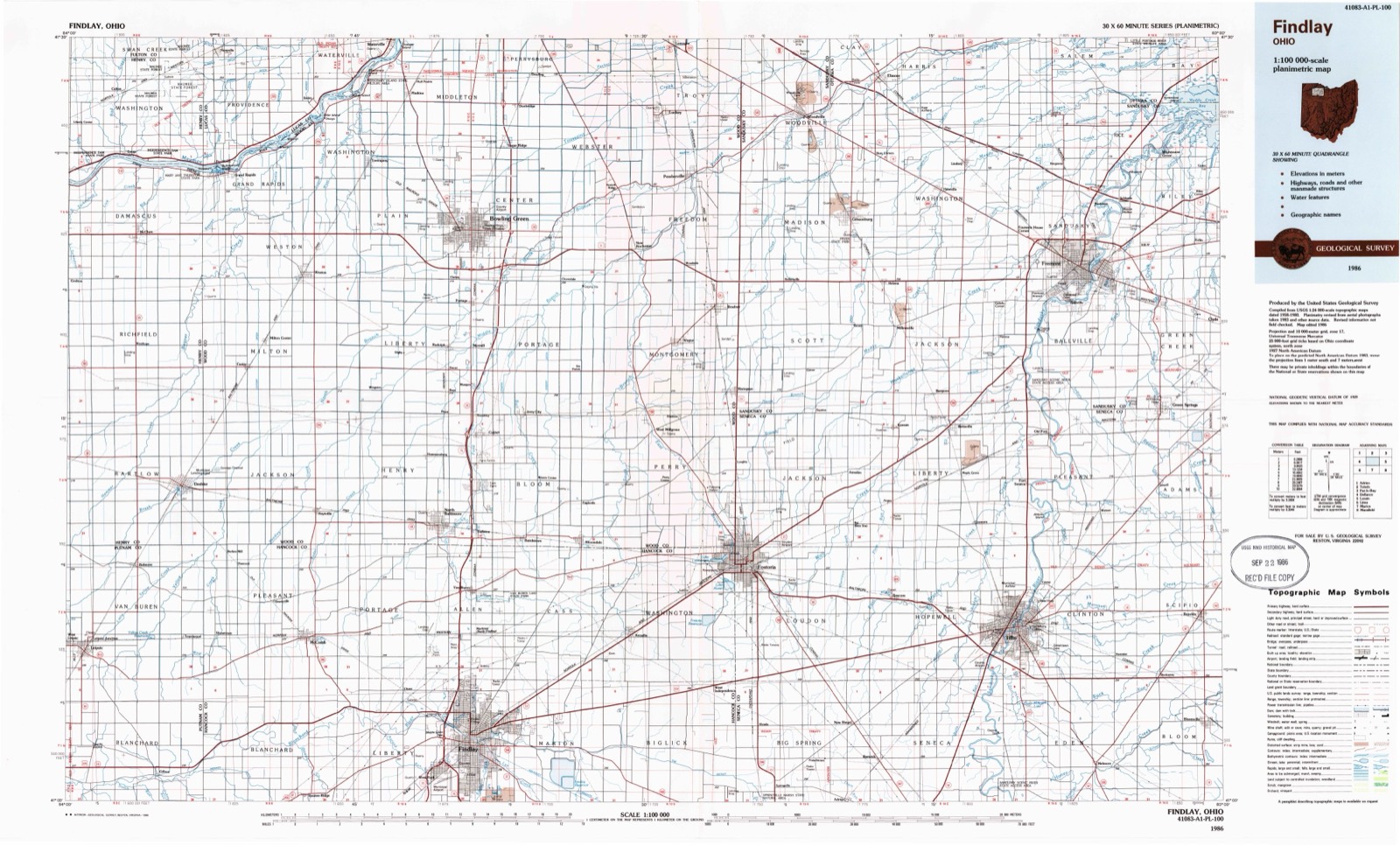
Compare 1909 against another survey:
Topographic sheets covering this place
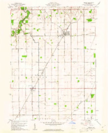
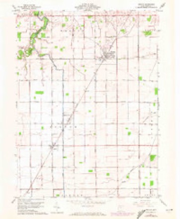
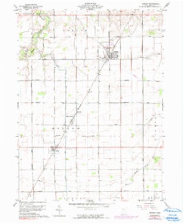
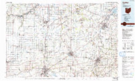
12 sheetsMatched by testing this settlement's coordinate against the published boundary of every sheet in the United States Geological Survey's historical collection. Each opens the scanned sheet at the Survey.
- 1909 USGS Mc Clure quadrangle1:62500
- 1909 USGS Mc Clure quadrangle1:62500
- 1956 USGS Toledo quadrangle1:250000
- 1956 USGS Toledo quadrangle1:250000
- 1956 USGS Toledo quadrangle1:250000
- 1956 USGS Toledo quadrangle1:250000
- 1960 USGS Weston quadrangle1:24000
- 1960 USGS Weston quadrangle1:24000
- 1960 USGS Weston quadrangle1:24000
- 1961 USGS Toledo quadrangle1:250000
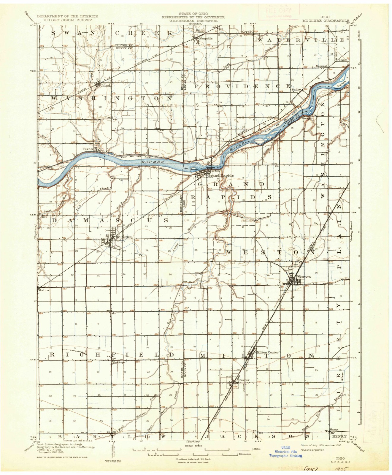
- 1986 USGS Findlay quadrangle1:100000
- 1986 USGS Findlay quadrangle1:100000





What happened here
An account from the chapter on Weston township, The inset identifies its exact source book and publication year.
Chapter Xvii
Pioneer Physicians - Sanitary Conditions of the County between 1810 and 1845 - Reminiscences of old Practitioners - Appearance in the County of later Physicians - The Cholera - Roll of Physicians who settled in the County in recent Years, together with some brief personal Sketches - Maumee Vali.ey Medical Association - Wood County Medical Society - Wood County Physicians' Association.
In the county-history sources
233,835 words on this townshipCommemorative Historical and Biographical Record of Wood County, Ohio; Its Past and Present, published 1897 names this settlement in its chapter on Weston Township. These are the passages that mention it, exactly as the scans read.
CIVILIZATION, fitfully and slowly, spread her far-reaching mantle over the Maumee Country. She wavered and hesitated. More than once she advanced. More than once she retired in confusion and dismay. The obstacles were many and serious. Few inhabited lands have presented greater. To the vast stretches of swamp, inaccessible forests, and a dangerous miasmatic climate, was added the implacable hatred of savage tribes and bands - made desperate and revengeful by real or imaginary wrongs - who had retreated here, before the westward march of the hardy white Pioneers.
Passage source: Commemorative Historical and Biographical Record of Wood County, Ohio; Its Past and Present, published 1897.
So she at last came to the Maumee Country. In one hand, the olive branch of peace, in the other, the sword of the conqueror. That August day on the Maumee, 1794, comes to us through the mist of a century, like a phantom tableau, historic and tragic.
Passage source: Commemorative Historical and Biographical Record of Wood County, Ohio; Its Past and Present, published 1897.
Civilization and Barbarism stood beside that peaceful river, front to front, in battle array. Gen. Anthony Wayne, by his presence, said: "Civilization sends this army; I am her agent; this flag I carry is her symbol. Accept peace or flee for your lives." In heroic spirit and defiant words, Barbarism answered: "There can be no peace till you leave our land. We are here to stay your further advance, or perish in the trial." The tableau was dissolved - the tragedy* began. Before the sun had set, the emblem of the new race waved triumphant over that bloody field. The victor's cannon peals proclaimed the permanent occupation of the land by the white men.
Passage source: Commemorative Historical and Biographical Record of Wood County, Ohio; Its Past and Present, published 1897.
Machine-read from a century-old scan, so expect the errors a machine makes: misspelled names, dropped words, stray characters.
Read the whole chapter on Weston Township - it names this place 48 more 48 times.
Fires near this place
1 since 2002Regional context, not property-specific evidence. The federal wildfire occurrence database lists 1 fire within 5 miles of Weston between 2002 and 2002, burning about 4 acres in total. None started naturally. None was recorded as arson. Distance is straight-line from the map coordinates, so a fire counted here may appear on a neighbouring settlement's page as well.
| Reported cause | Fires |
|---|---|
| Equipment and vehicle use | 1 |
The most recent of them, most recent first, with the day each was reported and the service that recorded it.
| Date | Cause | Size | Reported by | Name on the report |
|---|---|---|---|---|
| 31 August 2002 | Equipment and vehicle use | 4.0 acres | Ohio State Fire Marshal's Office | not named |
Settlements close enough to share some of these fires:
Specimens collected near this place
12 of 487 shownRegional context, not property-specific evidence. Museums hold 487 specimens collected within 10 miles of Weston between 1860 and 1975: 450 Animalia, 25 Fungi, 12 Plantae. 12 distinct Species records are shown. Collected by Allen, J. M., B. BURGER, Baumgartner, L. and others. Each is a physical object with a catalogue number, and each entry opens the museum's record. This is what was collected and kept, not a survey of what lives here - nothing can be concluded from a species being absent.
| Image | Species | Year | Collected by | Where, as recorded |
|---|---|---|---|---|
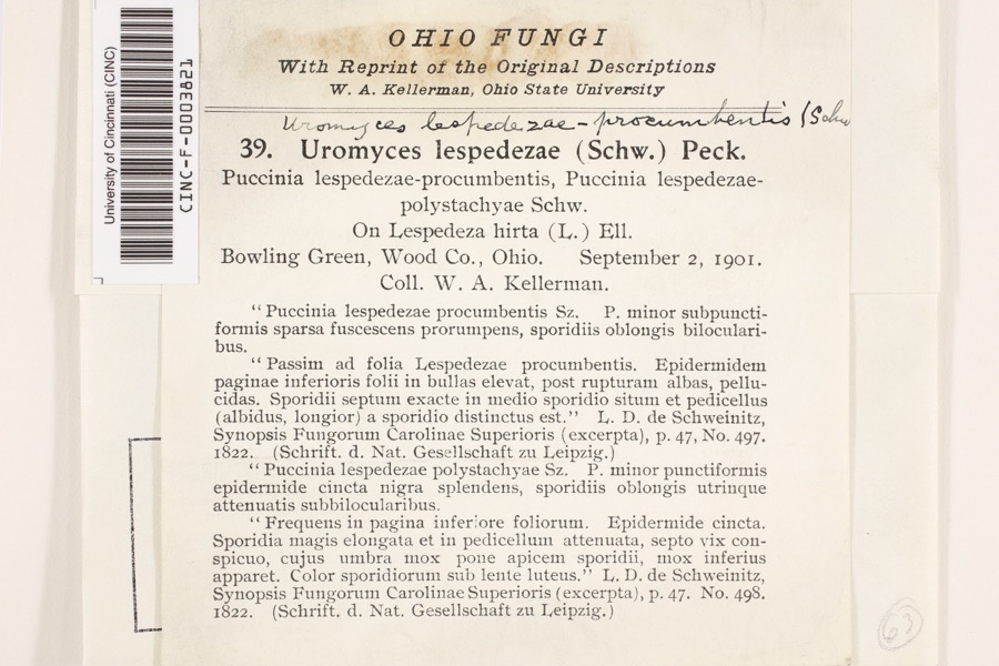 | Uromyces lespedezae-procumbentis (Schwein.) Lagerh. | 1901 | Kellerman, W.A. | Bowling Green |
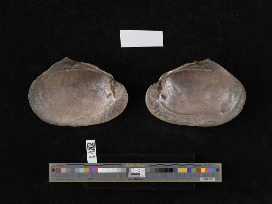 | Lampsilis alata (Say, 1817) | 1908 | not recorded | Grand Rapids |
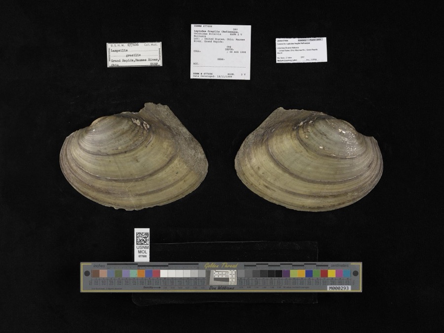 | Leptodea fragilis (Rafinesque, 1820) | 1908 | not recorded | Maumee River, Grand Rapids |
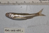 | Notropis hudsonius (Clinton, 1824) | 1860 | unknown | Grand Rapids, Maumee R. |
 | Cambarus rusticus Girard, 1852 | 1893 | United States Fish Commission | Beaver Creek, Grand Rapids |
 | Chrysemys picta (Schneider, 1783) | 1893 | not recorded | Grand Rapids, Maumee River |
 | Ericymba buccata Cope, 1865 | 1893 | P. Kirsch | Maumee River, Grand Rapids, Ohio |
 | Etheostoma flabellare Rafinesque, 1819 | 1893 | PH Kirsch | Beaver Creek, from mouth (at Maumee) up for 3 mi; near Grand Rapids; Maumee River dr |
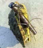 | Graptemys geographica (Lesueur, 1817) | 1893 | not recorded | Grand Rapids, Maumee River |
 | Lepomis macrochirus Rafinesque, 1819 | 1893 | P. Kirsch | Maumee River, Grand Rapids, Ohio |
 | Lithobates clamitans (Latreille, 1801) | 1893 | not recorded | Grand Rapids, Beaver Creek |
 | Lithobates pipiens (Schreber, 1782) | 1893 | not recorded | Grand Rapids, Beaver Creek |
All 487 specimens within 10 miles, at the Global Biodiversity Information Facility.
Mines and quarries near this place
1 within 5 milesRegional context, not property-specific evidence. The federal mineral resources record lists 1 working within 5 miles of Weston: 1 producer. All of them still produce. What was taken out: Stone, Crushed/Broken. Distance is straight-line from the map coordinates, so a quarry counted here may appear on a neighbouring settlement's page as well.
| Where | Site | Commodity | Status | Recorded |
|---|---|---|---|---|
| Custar Stone Quarry | Stone, Crushed/Broken | Producer |
Storms near this place
19 since 1996Regional context, not property-specific evidence. The National Weather Service names Weston in 19 storm reports between 1996 and 2024: 13 thunderstorm wind, 5 hail, 1 flash flood. No death or injury is recorded in these reports. Each account below is quoted exactly as the forecast office filed it, from the NOAA Storm Events Database, and each date opens the federal record of that event.
| When | Event | Place named | Harm | What the report says |
|---|---|---|---|---|
| July 2013 | Thunderstorm Wind | Weston | $125,000 | Thunderstorm winds estimated at more than 60 mph downed several trees and blew down or heavily damaged three barns on Poe Road west of Bowling Green. |
| August 2024 | Thunderstorm Wind | Weston | $25,000 | Trees and power poles downed and roof blown-off house in Weston. |
| May 2011 | Thunderstorm Wind | Weston | $25,000 | Thunderstorm winds downed several large tree limbs in Weston. As the severe thunderstorm tracked east, several large trees were downed in the Bowling Green area. |
| June 2013 | Thunderstorm Wind | Weston | $15,000 | Law enforcement and media reported multiple trees and power lines down in Weston with some trees falling on houses. |
| May 2005 | Thunderstorm Wind | Weston | $15,000 | Thunderstorm winds toppled two power poles near Weston. |
| May 2010 | Thunderstorm Wind | Weston | $6,000 | Thunderstorm winds toppled a few trees. |
| July 2013 | Thunderstorm Wind | Weston | $5,000 | Thunderstorm winds tore some roofing material off of a house. |
| May 2003 | Hail | Weston | $2,000 | Quarter size hail was observed. |
| May 1998 | Thunderstorm Wind | Weston | $2,000 | Trees were downed. |
| August 2024 | Thunderstorm Wind | Weston | - | Several trees downed in Weston. |
| May 2019 | Thunderstorm Wind | Weston | - | Several tree were blown down across the county. |
| May 2014 | Hail | Weston | - | A trained weather spotter reported three quarter inch size hail. |
| August 2003 | Hail | Weston | - | Penny size hail was observed. |
| August 1998 | Flash Flood | Weston | - | Heavy thunderstorm rain caused flooding of streets and numerous small streams. |
| July 1998 | Thunderstorm Wind | Weston | - | A wind gust was measured at 59 miles per hour. |
| November 1998 | Thunderstorm Wind | Weston | - | A 69 mile per hour wind gust was reported. |
| May 2000 | Hail | Weston | - | no account filed |
| May 2000 | Hail | Weston | - | no account filed |
| June 1996 | Thunderstorm Wind | Weston | - | no account filed |
Newspapers printed here
0 digitised pages1 paper published in this town, digitised by the Library of Congress and free to read: 0 issues, 0 pages. Every page is searchable, so a name or a street can be looked for directly in what the town printed about itself at the time.
| Newspaper | Published |
|---|---|
| Tri-County Herald News | 1949 to 19?? |
What the paper printed
11,107 wordsFront pages of the local paper, read from the Library of Congress scans: 5 issues spread across its run from 1949 to 1949, 11,107 words in total. Each is reproduced on its own page, exactly as the recogniser returned it.
These pages read less well than anything else here, and the number is worth stating: about three words in four come through cleanly, against nine in ten for the building records. An 1896 broadsheet sets eight-point type in seven columns on microfilm, which is the hardest thing in this archive to read by machine. We tested our own recognisers against the Library's and they were not better, so the Library's text is what appears, with the wholly unreadable columns removed. Read it as a guide to what the paper covered, and follow the link to the scan before quoting anything.
| Issue | Paper | Length |
|---|---|---|
| 1949-11-17 | Tri-County Herald News | 2,029 words |
| 1949-12-01 | Tri-County Herald News | 1,946 words |
| 1949-12-15 | Tri-County Herald News | 2,261 words |
| 1949-12-22 | Tri-County Herald News | 2,528 words |
| 1949-12-29 | Tri-County Herald News | 2,343 words |
Nearest settlements
The eight closest, with where each one stands in the county. Distances are straight-line, computed from the Geographic Names Information System coordinates.
| Map | Place | Distance | Sheets |
|---|---|---|---|
| Milton Center | 3.4 miles | 12 | |
| Custar | 4.8 miles | 12 | |
| Digby | 5.8 miles | 14 | |
| Grand Rapids | 5.8 miles | 16 | |
| Tontogany | 5.9 miles | 21 | |
| Wingston | 6.4 miles | 14 | |
| Haney (historical) | 6.4 miles | 12 | |
| Wintergarden Heights | 6.6 miles | 14 |
Elsewhere
Matched on this settlement's Geographic Names Information System number rather than its name, so it cannot be a different place of the same name in another state.
| Wikipedia article on Weston | An encyclopaedic summary. Its text is share-alike, so it is linked here rather than copied. |
| Wikidata item Q2412190 | The structured record the population and elevation above come from. Public domain (CC0). |
Provenance
This settlement is recorded in the Geographic Names Information System as feature 1061765. The sheet list is computed by point-in-boundary test against the United States Geological Survey's historical topographic inventory. Both are works of the United States government and carry no copyright under 17 U.S.C. 105.
Wildfire. Short, Karen C. 2022. Spatial wildfire occurrence data for the United States, 1992-2020 [FPA_FOD_20221014]. 6th Edition. Fort Collins, CO: Forest Service Research Data Archive. https://doi.org/10.2737/RDS-2013-0009.6 Collected with United States Government funding and usable without additional permissions or fees.
Specimens. Global Biodiversity Information Facility (GBIF), https://www.gbif.org/. Only records licensed CC0 or CC BY are used. Records licensed CC BY-NC are excluded because this site carries advertising. Images are checked individually and any whose licence is non-commercial, no-derivatives or unreadable is refused.
Mines and quarries. USGS Mineral Resources Data System (MRDS) https://mrdata.usgs.gov/mrds/ A work of the United States government, no copyright under 17 U.S.C. 105.
Storms. NOAA National Centers for Environmental Information, Storm Events Database https://www.ncei.noaa.gov/stormevents/ A work of the United States government, no copyright under 17 U.S.C. 105. Narratives are quoted verbatim from the National Weather Service report and are not edited or summarised.