 Block
Block
Miltonville, Ohio
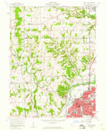
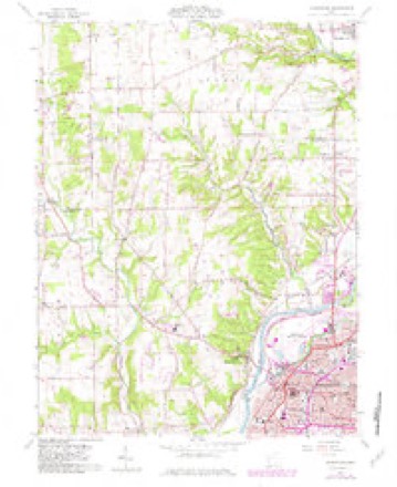
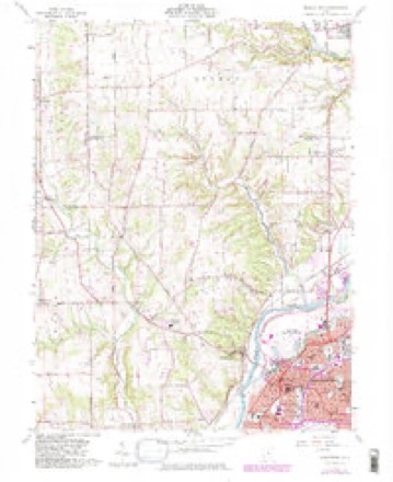
12 topographic sheets cover this place, the earliest surveyed in 1908 and the latest in 1986. It stands in Madison Township. It lies in ZIP code area 45042. It stands on Elk Creek. The Survey maps it on the Middletown quadrangle.
Then and now
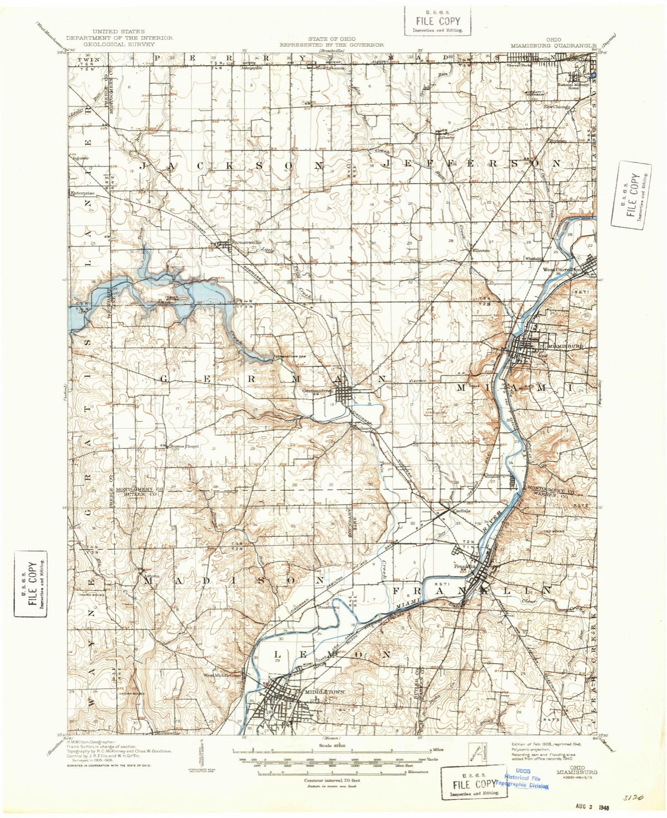
1908 to 1986The same ground, surveyed 78 years apart. Drag the handle to wipe between them. Both sheets are United States Geological Survey originals; neither has been altered.

Topographic sheets covering this place
12 sheetsMatched by testing this settlement's coordinate against the published boundary of every sheet in the United States Geological Survey's historical collection. Each opens the scanned sheet at the Survey.
- 1908 USGS Miamisburg quadrangle1:62500
- 1953 USGS Cincinnati quadrangle1:250000
- 1953 USGS Cincinnati quadrangle1:250000
- 1953 USGS Cincinnati quadrangle1:250000
- 1957 USGS Cincinnati quadrangle1:250000
- 1959 USGS Middletown quadrangle1:24000
- 1959 USGS Middletown quadrangle1:24000
- 1959 USGS Middletown quadrangle1:24000
- 1959 USGS Middletown quadrangle1:24000
- 1959 USGS Middletown quadrangle1:24000
- 1986 USGS Dayton quadrangle1:100000
- 1986 USGS Dayton quadrangle1:100000






In the county-history sources
11,332 words on this townshipA History and Biographical Cyclopædia of Butler County, Ohio : with Illustrations and Sketches of Its Representative Men and Pioneers, published 1882 names this settlement in its chapter on Madison Township. These are the passages that mention it, exactly as the scans read.
Mapison Townsuip was originally a portion of Lemon. It lies on the north border of the county, and is divided from Lemon by the Miami River, which flows from north-east to south-west, and separates the two townships in such a way that the lower part of Madison is very narrow. Nearly the whole distance north of Trenton the hills border on the river; but below the bottom spreads out, and forms a wide alluvial plain. At Middletown the river divides in two parts, the old and the new, the latter increasing in volume year by year, and the former lessening. The bridge across the river here is precarious, and liable to be washed away by the flood at any time. A couple of miles west of the river the hills rise to a great height, and afford beautiful views.
Passage source: A History and Biographical Cyclopædia of Butler County, Ohio : with Illustrations and Sketches of Its Representative Men and Pioneers, published 1882.
Samuel Dickey, wife, and four children emigrated from Franklin County, Kentucky, and settled on Section 28, Township 2, Range 4, east, April, 1799, where Isaac Dickey was born in the same year, being the first white child in that township. He was followed by Jesse McCray in 1799, and Edward Gee and Job Gee, in the same year; Joel Martin, Llewellyn Martin, Llewellyn Simpson, and Bambo Harris, colored, in 1800; Alexander Chambers and William Baldwin, in 1801; Adam Deem and Thomas Israel, in 1803; the widow White and Daniel Drake, in 1804; Andrew Wagner, Henry Huffman, Noah Long, Gideon Long, and David Long, in 1805.
Passage source: A History and Biographical Cyclopædia of Butler County, Ohio : with Illustrations and Sketches of Its Representative Men and Pioneers, published 1882.
On the north-east quarter of Section 33 is a rock which is forty-three feet one inch in circumference. About two-thirds of this rock is in the ground, and six feet above ground. On Brown's Run, in Section 34, on the land of Lewis Wagner, is a cedar tree about four feet in diameter. The tree has been recently discovered. A part of the tree is in a hill two hundred feet above the part in the bottom of the creek.
Passage source: A History and Biographical Cyclopædia of Butler County, Ohio : with Illustrations and Sketches of Its Representative Men and Pioneers, published 1882.
Machine-read from a century-old scan, so expect the errors a machine makes: misspelled names, dropped words, stray characters.
Read the whole chapter on Madison Township - it names this place 4 more 4 times.
Specimens collected near this place
12 of 317 shownRegional context, not property-specific evidence. Museums hold 317 specimens collected within 10 miles of Miltonville between 1835 and 1974: 162 Animalia, 121 Fungi, 34 Plantae. 12 distinct Species records are shown. Collected by ?, A. C. Billups, A.R. Gaufin, H.H. Ross and others. Each is a physical object with a catalogue number, and each entry opens the museum's record. This is what was collected and kept, not a survey of what lives here - nothing can be concluded from a species being absent.
| Image | Species | Year | Collected by | Where, as recorded |
|---|---|---|---|---|
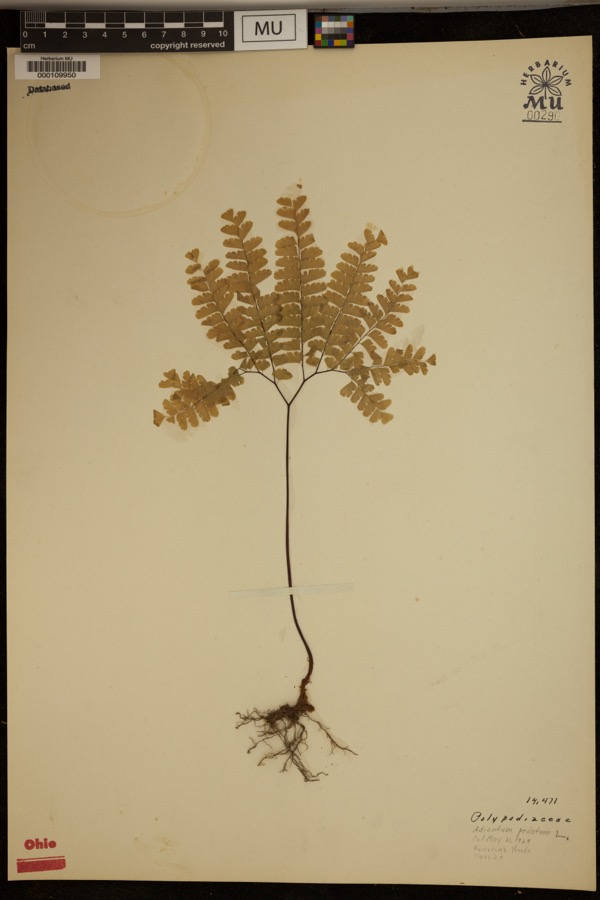 | Adiantum pedatum L. | 1929 | ? | Hueston Woods. |
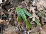 | Carex careyana Torr. ex Dewey | 1835 | Collector unknown | In ditione "Miami" civitatis Ohio. |
| Carex convoluta Mack. | 1835 | Collector unspecified | "Miami" | |
 | Carex gracillima Schwein. | 1835 | B. Frank | In ditione "Miami" civitatis Ohio. |
 | Coluber constrictor Linnaeus, 1758 | 1879 | not recorded | Hughes |
 | Diadophis punctatus arnyi Kennicott, 1859 | 1879 | not recorded | Hughes |
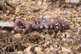 | Lampropeltis triangulum (Lacépède, 1789) | 1879 | not recorded | Hughes |
 | Spiza americana (J.F.Gmelin, 1789) | 1879 | Porter, J.B. | |
 | Storeria dekayi (Holbrook, 1839) | 1879 | not recorded | Hughes |
 | Storeria occipitomaculata Storer, 1839 | 1879 | not recorded | Hughes |
 | Tringa solitaria A.Wilson, 1813 | 1879 | Porter collection, J.B. | |
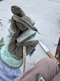 | Tropidoclonion lineatum (Hallowell, 1856) | 1879 | not recorded | Hughes |
All 317 specimens within 10 miles, at the Global Biodiversity Information Facility.
Mines and quarries near this place
7 within 5 milesRegional context, not property-specific evidence. The federal mineral resources record lists 7 workings within 5 miles of Miltonville: 3 producers, 2 past producers, 1 unknown, 1 plant. 4 still produce. What was taken out: Sand and Gravel, Construction, Iron. Distance is straight-line from the map coordinates, so a quarry counted here may appear on a neighbouring settlement's page as well.
| Where | Site | Commodity | Status | Recorded |
|---|---|---|---|---|
| Armco Inc/ Middletown, Ohio | Iron | Unknown | ||
| Hamilton Plant #710 | Sand and Gravel, Construction | Producer | ||
| Mecco Inc. | Sand and Gravel, Construction | Producer | ||
| Mecco, Incorporated Plt | Sand and Gravel, Construction | Past Producer | Sedimentary | |
| Middletown Pit | Sand and Gravel, Construction | Past Producer | Sedimentary | |
| Middletown Pit | Sand and Gravel, Construction | Producer | ||
| Moorman Pit & Mill | Sand and Gravel, Construction | Plant |
Storms near this place
1 since 2008Regional context, not property-specific evidence. The National Weather Service names Miltonville in 1 storm report between 2008 and 2008: 1 thunderstorm wind. No death or injury is recorded in these reports. Each account below is quoted exactly as the forecast office filed it, from the NOAA Storm Events Database, and each date opens the federal record of that event.
| When | Event | Place named | Harm | What the report says |
|---|---|---|---|---|
| July 2008 | Thunderstorm Wind | Miltonville | $3,000 | Trees were downed. |
Nearest settlements
The eight closest, with where each one stands in the county. Distances are straight-line, computed from the Geographic Names Information System coordinates.
| Map | Place | Distance | Sheets |
|---|---|---|---|
| Trenton | 1.4 miles | 16 | |
| Bon Veue | 2.4 miles | 16 | |
| North Excello | 2.5 miles | 16 | |
| Excello | 2.6 miles | 16 | |
| West Middletown | 2.8 miles | 12 | |
| Busenbark | 2.8 miles | 16 | |
| South Excello | 3.0 miles | 16 | |
| Oakland | 3.2 miles | 12 |
Provenance
This settlement is recorded in the Geographic Names Information System as feature 1056426. The sheet list is computed by point-in-boundary test against the United States Geological Survey's historical topographic inventory. Both are works of the United States government and carry no copyright under 17 U.S.C. 105.
Specimens. Global Biodiversity Information Facility (GBIF), https://www.gbif.org/. Only records licensed CC0 or CC BY are used. Records licensed CC BY-NC are excluded because this site carries advertising. Images are checked individually and any whose licence is non-commercial, no-derivatives or unreadable is refused.
Mines and quarries. USGS Mineral Resources Data System (MRDS) https://mrdata.usgs.gov/mrds/ A work of the United States government, no copyright under 17 U.S.C. 105.
Storms. NOAA National Centers for Environmental Information, Storm Events Database https://www.ncei.noaa.gov/stormevents/ A work of the United States government, no copyright under 17 U.S.C. 105. Narratives are quoted verbatim from the National Weather Service report and are not edited or summarised.