 Block
Block
Trenton, Ohio
16 topographic sheets cover this place, the earliest surveyed in 1904 and the latest in 1986. It stands in Trenton City. It lies in ZIP code area 45067. It stands on Elk Creek. The Survey maps it on the Trenton quadrangle. 13,021 people lived here at the 2020 count. It stands 650 feet above sea level.
Population over time
2 figuresTrenton grew from 11,869 to 13,021 between 2010 and 2020. These are the recorded population figures Wikidata holds for this place, reached through the Geographic Names Information System number this page is keyed on rather than by name, so they belong to this place and not to another of the same name. Most are census counts, but not all are: an early figure may be a founding or settlement estimate. The change column is computed, and is left blank where more than 20 years separate a figure from the one before it, because a gap that long is not a change between two counts.
| Year | People | Change |
|---|---|---|
| 2010 | 11,869 | |
| 2020 | 13,021 | +1,152 (+10%) |
Then and now
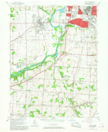
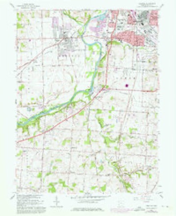
1904 to 1986The same ground, surveyed 82 years apart. Drag the handle to wipe between them. Both sheets are United States Geological Survey originals; neither has been altered.

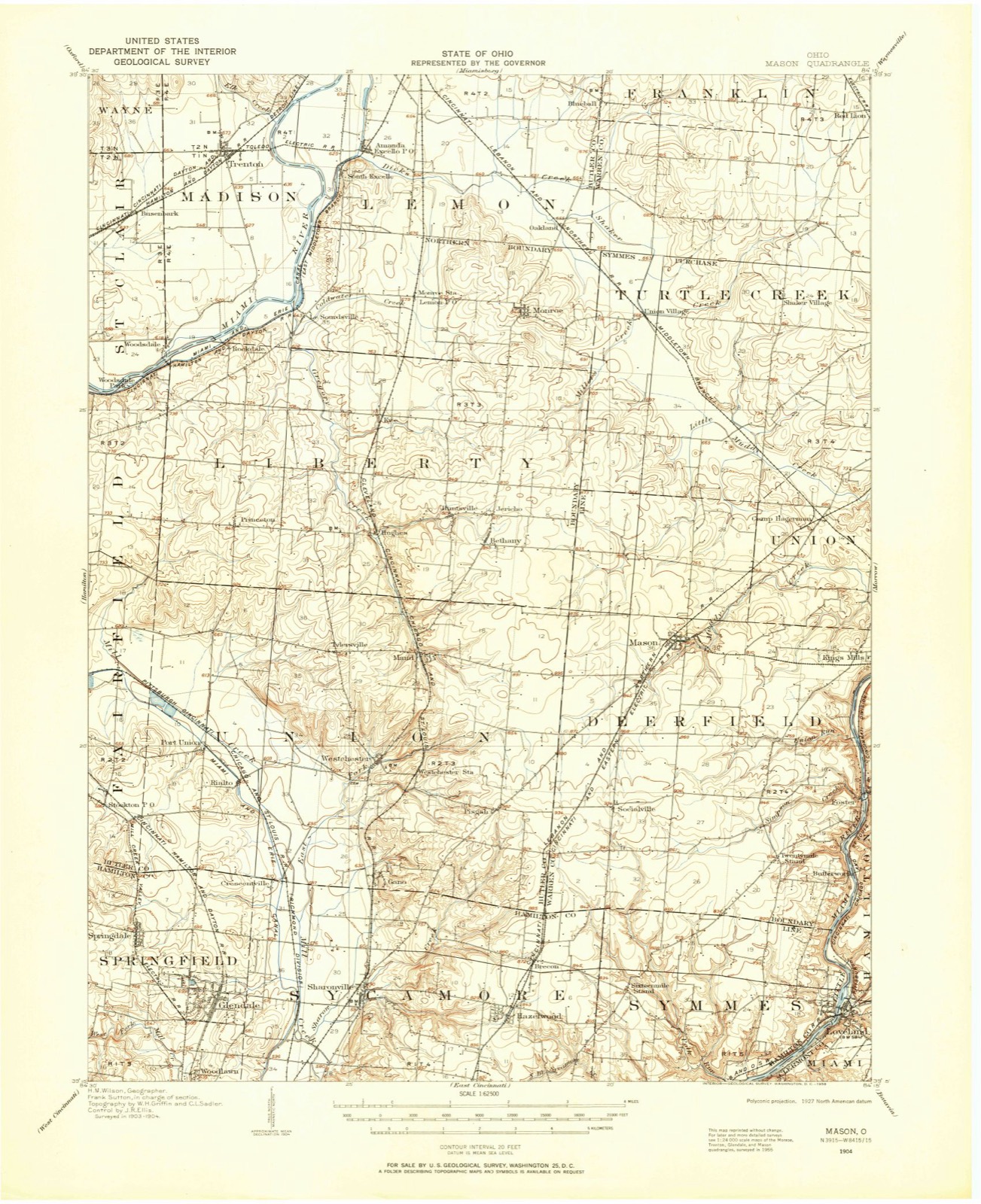
Topographic sheets covering this place
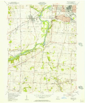
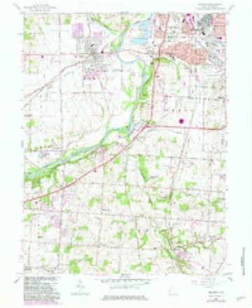
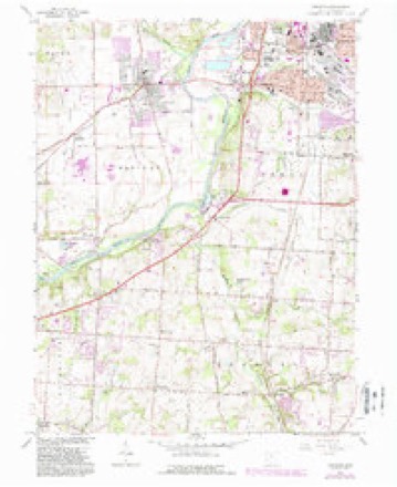
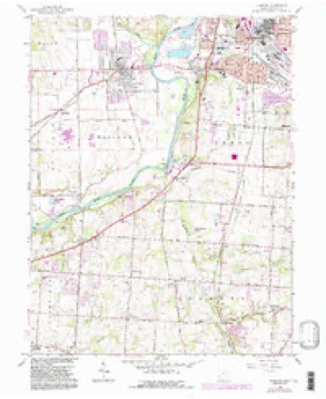
16 sheetsMatched by testing this settlement's coordinate against the published boundary of every sheet in the United States Geological Survey's historical collection. Each opens the scanned sheet at the Survey.
- 1904 USGS Mason quadrangle1:62500
- 1906 USGS Mason quadrangle1:62500
- 1906 USGS Mason quadrangle1:62500
- 1953 USGS Cincinnati quadrangle1:250000
- 1953 USGS Cincinnati quadrangle1:250000
- 1953 USGS Cincinnati quadrangle1:250000
- 1955 USGS Trenton quadrangle1:24000
- 1957 USGS Cincinnati quadrangle1:250000
- 1966 USGS Trenton quadrangle1:24000
- 1966 USGS Trenton quadrangle1:24000
- 1966 USGS Trenton quadrangle1:24000
- 1966 USGS Trenton quadrangle1:24000
- 1966 USGS Trenton quadrangle1:24000
- 1986 USGS Cincinnati quadrangle1:100000
- 1986 USGS Cincinnati quadrangle1:100000
- 1986 USGS Cincinnati quadrangle1:100000







In the county-history sources
2,655 words on this townshipA History and Biographical Cyclopædia of Butler County, Ohio : with Illustrations and Sketches of Its Representative Men and Pioneers, published 1882 names this settlement in its chapter on Trenton City. These are the passages that mention it, exactly as the scans read.
Trenton is situated on the corners of Sections 5, 6, 31, and 32, about a mile from the Miami, on the great. highway which passes east and west, and was formerly known as the State road. It sprung from a colony of New Jersey people, who came here about the year 1800, headed by Deacon Michael Pearce and Elder Stephen Gard. Some of the members of this colony had come out previously, and their attachment to their native State was shown by the names they conferred upon the village which afterwards grew up there. Bloomfield was its first title. It was named after Governor Bloomfield, of New Jersey, who 'was one of the early successors of William Livingston, and who was also a United States Senator. Its plat was dedicated about 1815, but there was a cluster of houses there previously. When it reached the dignity of a postoffice it was found that there was another Bloomfield in the State, and the name was changed to Trenton, also in honor of New Jersey.
Passage source: A History and Biographical Cyclopædia of Butler County, Ohio : with Illustrations and Sketches of Its Representative Men and Pioneers, published 1882.
Littell, the first resident minister and doctor of the county. Trenton, indeed, is an older settlement than any other in our limits, except Hamilton, Rossville, and Middletown. The Rev. Mr. Gard organized the present death, August 14, 1839. He organized nearly all the Baptist Churches within the Miami Valley - Trenton, Middletown, Franklin, Hamilton, and the First Church of Dayton, and some others. He was born November 3, 1776, in Essex County, New Jersey. He received his education in a common school, except a few months in a private classical school in his native county. He was married to Rachel Pearce in 1801. He emigrated to Ohio about the end of the last century, making a temporary stay at Columbia, and moving to Trenton the same year. He came to Ohio in company with his father-in-law and family, Dr. Littell accompanying them.
Passage source: A History and Biographical Cyclopædia of Butler County, Ohio : with Illustrations and Sketches of Its Representative Men and Pioneers, published 1882.
Deacon Michael Pearce died at his residence in Trenton on Monday, the fourth day of June, 1838, in the eighty-ninth year of his age. He was born at Scotch Plains, Essex County, New Jersey, in August, 1749, and lived there for many years, and married Phebe Squier, of the same place, by whom he had eleven children, ten of whom lived to be men and women. He served as a deacon of the regular Baptist Church more than forty years, and died, as he lived, full and strong in the faith of the Gospel. He was a firm friend to the liberties of his country, and bore arms in the Revolutionary War. He was eighteen years a merchant of Morris County, New Jersey, and with the pioneers of the West removed with his family to Cincinnati in the Summer of 1792, entered land in Butler County, and removed on it in 1804, where he remained until taken away by death.
Passage source: A History and Biographical Cyclopædia of Butler County, Ohio : with Illustrations and Sketches of Its Representative Men and Pioneers, published 1882.
Machine-read from a century-old scan, so expect the errors a machine makes: misspelled names, dropped words, stray characters.
Read the whole chapter on Trenton City - it names this place 5 more 5 times.
Specimens collected near this place
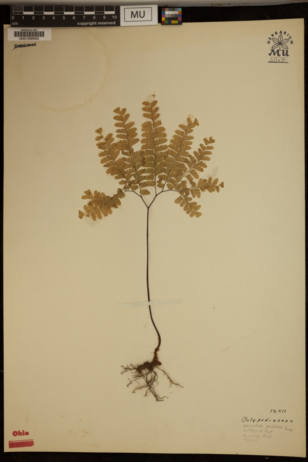
12 of 321 shownRegional context, not property-specific evidence. Museums hold 321 specimens collected within 10 miles of Trenton between 1835 and 1974: 166 Animalia, 121 Fungi, 34 Plantae. 12 distinct Species records are shown. Collected by ?, A. C. Billups, A.R. Gaufin, H.H. Ross and others. Each is a physical object with a catalogue number, and each entry opens the museum's record. This is what was collected and kept, not a survey of what lives here - nothing can be concluded from a species being absent.
| Image | Species | Year | Collected by | Where, as recorded |
|---|---|---|---|---|
 | Adiantum pedatum L. | 1929 | ? | Hueston Woods. |
 | Carex careyana Torr. ex Dewey | 1835 | Collector unknown | In ditione "Miami" civitatis Ohio. |
| Carex convoluta Mack. | 1835 | Collector unspecified | "Miami" | |
 | Carex gracillima Schwein. | 1835 | B. Frank | In ditione "Miami" civitatis Ohio. |
 | Coluber constrictor Linnaeus, 1758 | 1879 | not recorded | Hughes |
 | Diadophis punctatus arnyi Kennicott, 1859 | 1879 | not recorded | Hughes |
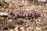 | Lampropeltis triangulum (Lacépède, 1789) | 1879 | not recorded | Hughes |
 | Spiza americana (J.F.Gmelin, 1789) | 1879 | Porter, J.B. | |
 | Storeria dekayi (Holbrook, 1839) | 1879 | not recorded | Hughes |
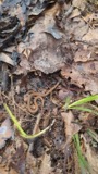 | Storeria occipitomaculata Storer, 1839 | 1879 | not recorded | Hughes |
 | Tringa solitaria A.Wilson, 1813 | 1879 | Porter collection, J.B. | |
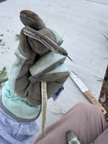 | Tropidoclonion lineatum (Hallowell, 1856) | 1879 | not recorded | Hughes |
All 321 specimens within 10 miles, at the Global Biodiversity Information Facility.
Mines and quarries near this place
7 within 5 milesRegional context, not property-specific evidence. The federal mineral resources record lists 7 workings within 5 miles of Trenton: 3 producers, 3 past producers, 1 unknown. 3 still produce. What was taken out: Sand and Gravel, Construction, Iron. Distance is straight-line from the map coordinates, so a quarry counted here may appear on a neighbouring settlement's page as well.
| Where | Site | Commodity | Status | Recorded |
|---|---|---|---|---|
| Armco Inc/ Middletown, Ohio | Iron | Unknown | ||
| Fairfield Pit | Sand and Gravel, Construction | Past Producer | ||
| Hamilton Plant #710 | Sand and Gravel, Construction | Producer | ||
| Mecco Inc. | Sand and Gravel, Construction | Producer | ||
| Mecco, Incorporated Plt | Sand and Gravel, Construction | Past Producer | Sedimentary | |
| Middletown Pit | Sand and Gravel, Construction | Past Producer | Sedimentary | |
| Middletown Pit | Sand and Gravel, Construction | Producer |
Storms near this place
21 since 1995Regional context, not property-specific evidence. The National Weather Service names Trenton in 21 storm reports between 1995 and 2025: 14 thunderstorm wind, 5 hail, 1 flash flood, 1 flood. No death or injury is recorded in these reports. Each account below is quoted exactly as the forecast office filed it, from the NOAA Storm Events Database, and each date opens the federal record of that event.
| When | Event | Place named | Harm | What the report says |
|---|---|---|---|---|
| September 2000 | Thunderstorm Wind | Trenton | $50,000 | Numerous trees downed and some damage occurred to buildings. |
| May 2011 | Thunderstorm Wind | Trenton | $32,000 | Seven homes were damaged due to thunderstorm winds. In addition, one vehicle was overturned and two trees were snapped due to the winds. |
| June 2012 | Thunderstorm Wind | Trenton | $30,000 | Numerous large trees were down and siding damage occurred to several homes due to thunderstorm winds. |
| March 2025 | Thunderstorm Wind | Trenton | $3,000 | Roof shingles were lifted from portable shelters. |
| March 2001 | Thunderstorm Wind | Trenton | $3,000 | Trees downed in eastern part of county. |
| July 1999 | Thunderstorm Wind | Trenton | $3,000 | Several trees downed. |
| April 2025 | Thunderstorm Wind | Trenton | $1,000 | A tree was downed near the intersection of Dover Court and Governors Avenue. |
| June 2020 | Thunderstorm Wind | Trenton | $1,000 | A tree was reported knocked down. |
| June 2020 | Thunderstorm Wind | Trenton | $1,000 | A tree fell into power lines on North 1st Street. |
| July 2015 | Thunderstorm Wind | Trenton | $1,000 | Several one foot diameter trees were downed near the intersection of Quail Drive and Aviary Place. |
| June 2008 | Hail | Trenton | $1,000 | no account filed |
| August 2016 | Thunderstorm Wind | Trenton | $500 | One ten inch diameter tree was knocked down. |
| June 2022 | Thunderstorm Wind | Trenton | $250 | Several large branches were downed. |
| July 2020 | Thunderstorm Wind | Trenton | $250 | Several 5-6 inch diameter tree limbs were downed. |
| June 2020 | Flood | Trenton | - | Storm drains backed up due to heavy rain, causing localized flooding on numerous streets. |
| July 2001 | Flash Flood | Trenton | - | Thunderstorms produced heavy rain which caused a road to be closed. |
| April 2010 | Hail | Trenton | - | no account filed |
| April 2010 | Hail | Trenton | - | no account filed |
| October 2010 | Thunderstorm Wind | Trenton | - | no account filed |
| May 1998 | Hail | Trenton | - | no account filed |
| June 1995 | Hail | Trenton | - | no account filed |
Nearest settlements
The eight closest, with where each one stands in the county. Distances are straight-line, computed from the Geographic Names Information System coordinates.
| Map | Place | Distance | Sheets |
|---|---|---|---|
| Miltonville | 1.4 miles | 12 | |
| Busenbark | 1.8 miles | 16 | |
| Excello | 2.1 miles | 16 | |
| South Excello | 2.2 miles | 16 | |
| North Excello | 2.3 miles | 16 | |
| Bon Veue | 2.6 miles | 16 | |
| South Middletown | 3.0 miles | 16 | |
| Le Sourdsville | 3.2 miles | 16 |
Elsewhere
Matched on this settlement's Geographic Names Information System number rather than its name, so it cannot be a different place of the same name in another state.
| Wikipedia article on Trenton | An encyclopaedic summary. Its text is share-alike, so it is linked here rather than copied. |
| Wikidata item Q2374079 | The structured record the population and elevation above come from. Public domain (CC0). |
Provenance
This settlement is recorded in the Geographic Names Information System as feature 1061703. The sheet list is computed by point-in-boundary test against the United States Geological Survey's historical topographic inventory. Both are works of the United States government and carry no copyright under 17 U.S.C. 105.
Specimens. Global Biodiversity Information Facility (GBIF), https://www.gbif.org/. Only records licensed CC0 or CC BY are used. Records licensed CC BY-NC are excluded because this site carries advertising. Images are checked individually and any whose licence is non-commercial, no-derivatives or unreadable is refused.
Mines and quarries. USGS Mineral Resources Data System (MRDS) https://mrdata.usgs.gov/mrds/ A work of the United States government, no copyright under 17 U.S.C. 105.
Storms. NOAA National Centers for Environmental Information, Storm Events Database https://www.ncei.noaa.gov/stormevents/ A work of the United States government, no copyright under 17 U.S.C. 105. Narratives are quoted verbatim from the National Weather Service report and are not edited or summarised.