 Block
Block
Nashville, Ohio
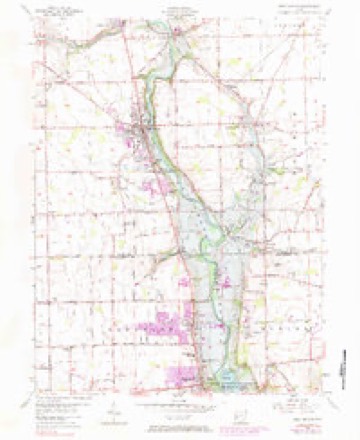
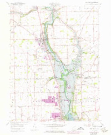
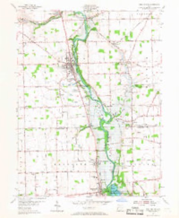
12 topographic sheets cover this place, the earliest surveyed in 1905 and the latest in 1986. It stands in Union Township. It lies in ZIP code area 45373. The Survey maps it on the West Milton quadrangle.
Then and now
1905 to 1986The same ground, surveyed 81 years apart. Drag the handle to wipe between them. Both sheets are United States Geological Survey originals; neither has been altered.

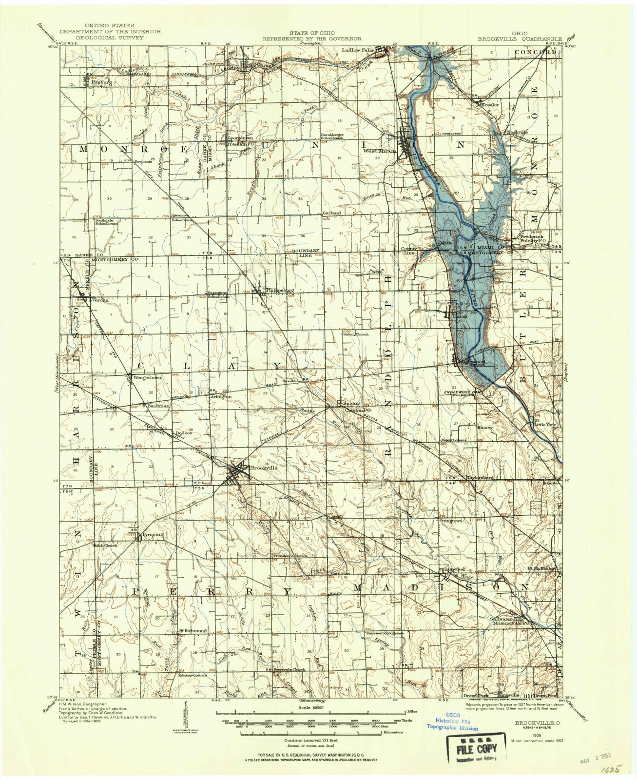
Topographic sheets covering this place
12 sheetsMatched by testing this settlement's coordinate against the published boundary of every sheet in the United States Geological Survey's historical collection. Each opens the scanned sheet at the Survey.
- 1905 USGS Brookville quadrangle1:62500
- 1953 USGS Cincinnati quadrangle1:250000
- 1953 USGS Cincinnati quadrangle1:250000
- 1953 USGS Cincinnati quadrangle1:250000
- 1955 USGS West Milton quadrangle1:24000
- 1955 USGS West Milton quadrangle1:24000
- 1955 USGS West Milton quadrangle1:24000
- 1955 USGS West Milton quadrangle1:24000
- 1955 USGS West Milton quadrangle1:24000
- 1957 USGS Cincinnati quadrangle1:250000
- 1986 USGS Dayton quadrangle1:100000
- 1986 USGS Dayton quadrangle1:100000






In the county-history sources
74,276 words on this townshipThe History of Miami County, Ohio, published 1880; The History of Miami County, Ohio : Containing a History of the County; Its Cities, Towns, Etc.; General and Local Statistics; Portraits of Early Settlers and Prominent Men; History of the Northwest Territory; History of Ohio; Map of Miami County; Constitution of the United States; Miscellaneous Matters, Etc., Etc, published 1880 names this settlement in its chapter on Union Township. These are the passages that mention it, exactly as the scans read.
On the 13th of December, 1806, application was made to the quarterly meeting at Red Stone, Penn., the nearest meeting, for the establishment of a monthly meeting, which was granted. Subsequently, a yearly" meeting having been established in Richmond, Ind., the privilege of holding a Quarterly meeting was by it
Passage source: The History of Miami County, Ohio, published 1880.
Hence, the foregoing premises stand out as lucidly explanatory of the early manufactories, and the various directions of development the different branches of industrial pursuits have taken. The soil of this township is rich and productivey yielding abundant harvests of all the cereals and grasses, and possessing within itself all the chemical elements of regeneration.
Machine-read from a century-old scan, so expect the errors a machine makes: misspelled names, dropped words, stray characters.
Read the whole chapter on Union Township - it names this place 3 more 3 times.
Specimens collected near this place
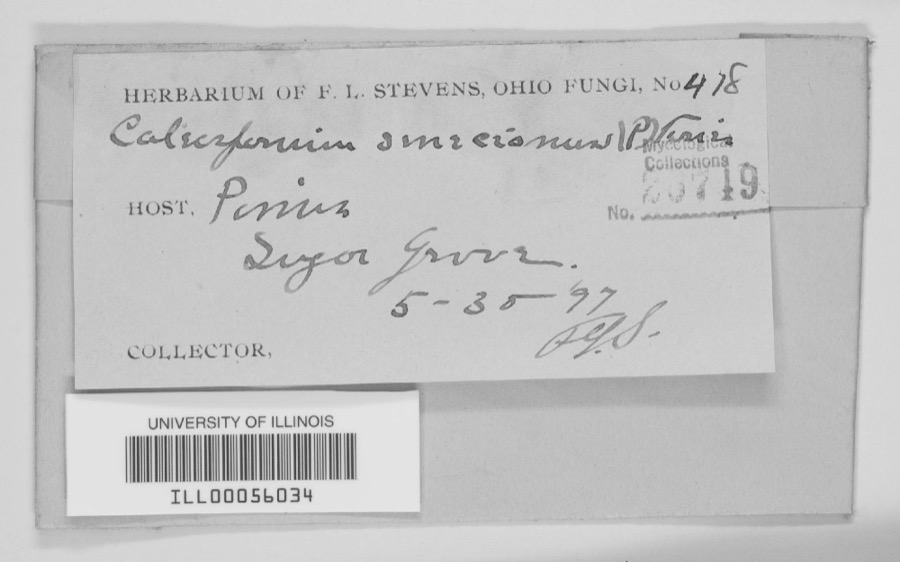
12 of 284 shownRegional context, not property-specific evidence. Museums hold 284 specimens collected within 10 miles of Nashville between 1835 and 1975: 255 Animalia, 17 Fungi, 10 Plantae, 1 Unrecorded, 1 Chromista. 12 distinct Species records are shown. Collected by A V DEL, A. Gaufin, A. R. Gaufin and others. Each is a physical object with a catalogue number, and each entry opens the museum's record. This is what was collected and kept, not a survey of what lives here - nothing can be concluded from a species being absent.
| Image | Species | Year | Collected by | Where, as recorded |
|---|---|---|---|---|
 | Quercus macrocarpa Michx. | 1835 | Frank | |
 | unnamed | 1897 | F. L. Stevens | Sugar Grove. |
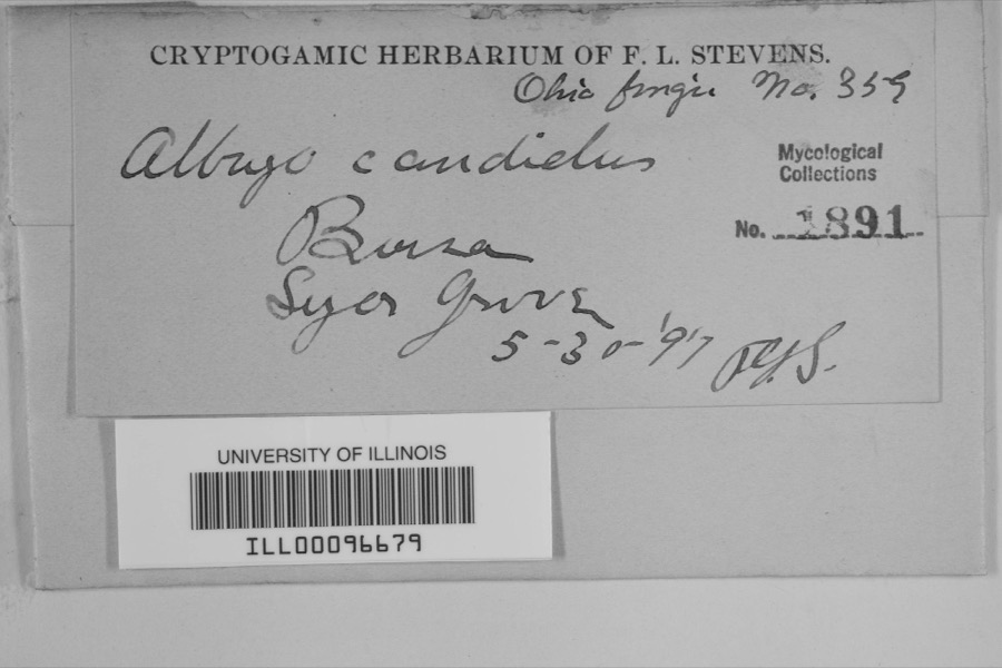 | Albugo candida (Pers. ex J.F.Gmel.) Roussel | 1897 | F.L. Stevens | Sugar Grove |
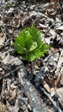 | Botrypus virginianus (L.) Michx. | 1835 | Joseph C. Frank | Ohio, Miami [County] |
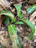 | Carex albursina E.Sheld. | 1835 | Collector unknown | |
 | Carex emmonsii var. muhlenbergii (A.Gray ex Torrey) Rettig | 1835 | Collector unspecified | |
 | Gentianella quinquefolia subsp. occidentalis (A.Gray) J.M.Gillett | 1835 | Joseph C. Frank | Ohio, in ditione civitatis Miami |
 | Cercosporina apii (Fresen.) Miura | 1896 | Skinner C. W. | Troy |
| Marssonina panattoniana (Berl.) Magnus | 1896 | Skinner C. W. | Troy | |
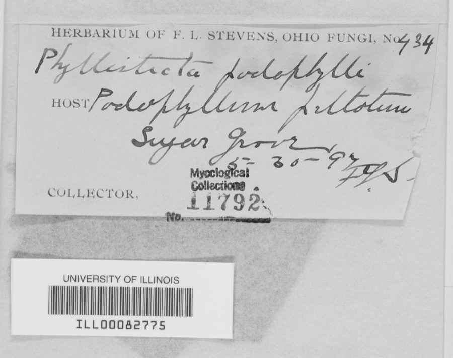 | Phyllosticta podophylli (M.A.Curtis) G.Winter | 1897 | F.L. Stevens | |
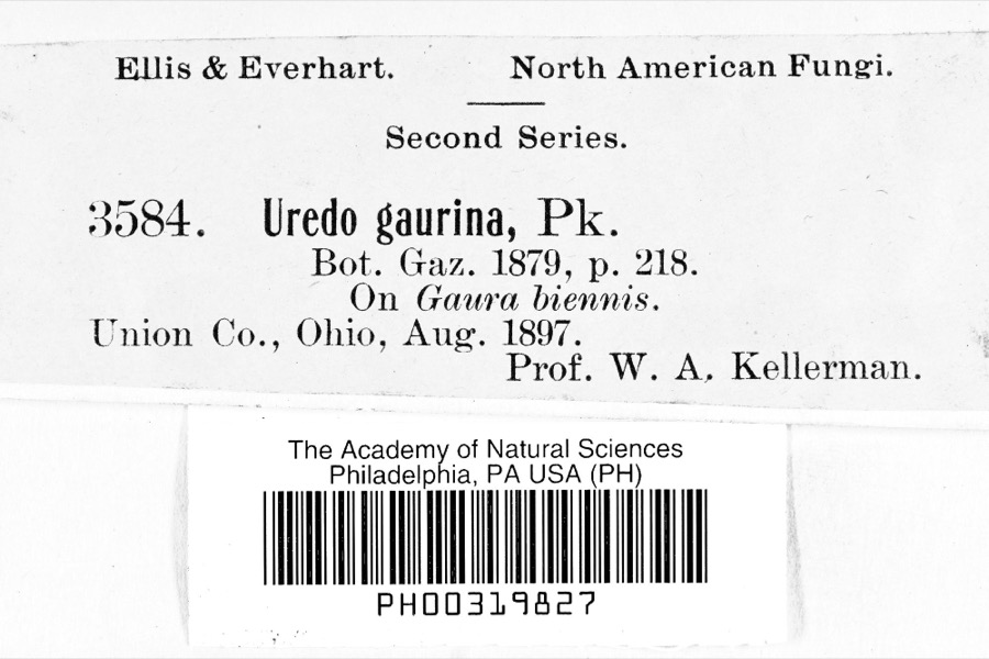 | Uredo | 1897 | Prof. W.A. Kellerman | |
 | Lanius ludovicianus Linnaeus, 1766 | 1898 | Collector(s): L. Kumlein | Milton, Ohio |
All 284 specimens within 10 miles, at the Global Biodiversity Information Facility.
Mines and quarries near this place
10 of 12 shownRegional context, not property-specific evidence. The federal mineral resources record lists 12 workings within 5 miles of Nashville: 6 past producers, 6 producers. 6 still produce. What was taken out: Sand and Gravel, Construction, Limestone, General, Stone, Crushed/Broken, Limestone, Dimension. Distance is straight-line from the map coordinates, so a quarry counted here may appear on a neighbouring settlement's page as well.
| Where | Site | Commodity | Status | Recorded |
|---|---|---|---|---|
| Gregory Quarry | Limestone, Dimension | Past Producer | ||
| Gregory Pit | Stone, Crushed/Broken | Producer | ||
| Gregory Quarry | Limestone, General | Past Producer | Sedimentary | |
| Gregory Quarry | Limestone, General | Past Producer | Sedimentary | |
| Gregory Quarry | Stone, Crushed/Broken | Producer | ||
| Haas Sand and Gravel Pit | Sand and Gravel, Construction | Past Producer | Sedimentary | |
| Miller Brothers Gravel, Inc. Pit | Sand and Gravel, Construction | Past Producer | Sedimentary | |
| Miller Brothers Pit | Sand and Gravel, Construction | Producer | ||
| Northmont Sand and Gravel Pit | Sand and Gravel, Construction | Producer | ||
| Northmont Sand and Gravel Pit | Sand and Gravel, Construction | Past Producer | Sedimentary |
Nearest settlements
The eight closest, with where each one stands in the county. Distances are straight-line, computed from the Geographic Names Information System coordinates.
| Map | Place | Distance | Sheets |
|---|---|---|---|
| Kessler | 1.0 miles | 12 | |
| West Milton | 2.6 miles | 12 | |
| Frederick | 2.8 miles | 12 | |
| Pinebrook Estates | 3.4 miles | 12 | |
| Pamela Estates | 3.4 miles | 13 | |
| Pigeye | 3.4 miles | 12 | |
| County Line (historical) | 3.6 miles | 12 | |
| Kensington | 3.7 miles | 13 |
Provenance
This settlement is recorded in the Geographic Names Information System as feature 1049002. The sheet list is computed by point-in-boundary test against the United States Geological Survey's historical topographic inventory. Both are works of the United States government and carry no copyright under 17 U.S.C. 105.
Specimens. Global Biodiversity Information Facility (GBIF), https://www.gbif.org/. Only records licensed CC0 or CC BY are used. Records licensed CC BY-NC are excluded because this site carries advertising. Images are checked individually and any whose licence is non-commercial, no-derivatives or unreadable is refused.
Mines and quarries. USGS Mineral Resources Data System (MRDS) https://mrdata.usgs.gov/mrds/ A work of the United States government, no copyright under 17 U.S.C. 105.