 Block
Block
West Milton, Ohio
12 topographic sheets cover this place, the earliest surveyed in 1905 and the latest in 1986. It stands in Union Township. It lies in ZIP code area 45383. It stands on Jones Run. The Survey maps it on the West Milton quadrangle. 4,697 people lived here at the 2020 count.
Population over time
2 figuresWest Milton grew from 4,630 to 4,697 between 2010 and 2020. These are the recorded population figures Wikidata holds for this place, reached through the Geographic Names Information System number this page is keyed on rather than by name, so they belong to this place and not to another of the same name. Most are census counts, but not all are: an early figure may be a founding or settlement estimate. The change column is computed, and is left blank where more than 20 years separate a figure from the one before it, because a gap that long is not a change between two counts.
| Year | People | Change |
|---|---|---|
| 2010 | 4,630 | |
| 2020 | 4,697 | +67 (+1%) |
Then and now
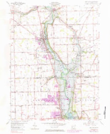
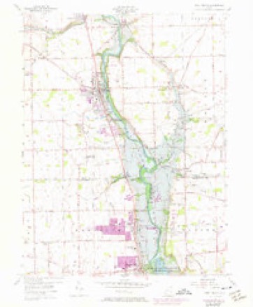
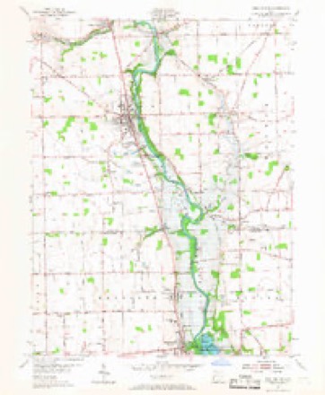
1905 to 1986The same ground, surveyed 81 years apart. Drag the handle to wipe between them. Both sheets are United States Geological Survey originals; neither has been altered.

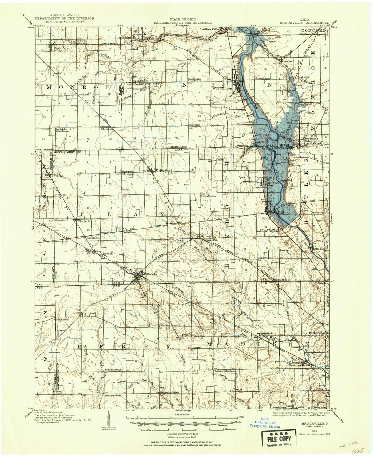
Topographic sheets covering this place
12 sheetsMatched by testing this settlement's coordinate against the published boundary of every sheet in the United States Geological Survey's historical collection. Each opens the scanned sheet at the Survey.
- 1905 USGS Brookville quadrangle1:62500
- 1953 USGS Cincinnati quadrangle1:250000
- 1953 USGS Cincinnati quadrangle1:250000
- 1953 USGS Cincinnati quadrangle1:250000
- 1955 USGS West Milton quadrangle1:24000
- 1955 USGS West Milton quadrangle1:24000
- 1955 USGS West Milton quadrangle1:24000
- 1955 USGS West Milton quadrangle1:24000
- 1955 USGS West Milton quadrangle1:24000
- 1957 USGS Cincinnati quadrangle1:250000
- 1986 USGS Dayton quadrangle1:100000
- 1986 USGS Dayton quadrangle1:100000






In the county-history sources
74,276 words on this townshipThe History of Miami County, Ohio, published 1880 names this settlement in its chapter on Union Township. These are the passages that mention it, exactly as the scans read.
Soon after Crew's death Milton was incorporated, and C. W. Beebe became the first Mayor. From that time onward, it has had many Mayors, Marshals and Councilmen, the history of whom I leave to the inhabitants. The first tavern in Milton, it seems, was opened by Wiley S. Jones, in 1826 or 1827, and was run successfully by different men for a great many years. The first meeting-house (Methodist) was built about 1833, previous to which meetings had been held both in the schoolhouse and private houses. Friends, Methodists and Christians now hold meetings there. Schools were taught in Milton from an early period, but the names of teachers, previous to 1820, can hardly be ascertained ; from that time to 1830, we have the names of Charles Mills, Daniel H. Jones, Mark McCool, Bonham, Rebecca and Susan Evans, some of whom taught several terms - all subscription schools.
Passage source: The History of Miami County, Ohio, published 1880.
The village of Georgetown, or New Lebanon, appears to owe its paternity to George Hatfield. It was laid out about the year 1840, in Sections 15 and 22- Its growth has been veiy gradual, because of its isolated position. It lies within sight of the county line on the west, and draws considerable of its trade from Darke County. A rich country surrounds it, and a large dry -goods trade is carried on by the firm of Levi Ammon & Sons. It once had a large trade in oak shingles, made by the citizens, but the scarcity of timber and coming of pine shingles have ended it. Its inhabitants number not far from 150 souls. The German Baptists have a church here. Its post office is Pottsdam.
Passage source: The History of Miami County, Ohio, published 1880.
On the 13th of December, 1806, application was made to the quarterly meeting at Red Stone, Penn., the nearest meeting, for the establishment of a monthly meeting, which was granted. Subsequently, a yearly" meeting having been established in Richmond, Ind., the privilege of holding a Quarterly meeting was by it
Passage source: The History of Miami County, Ohio, published 1880.
Machine-read from a century-old scan, so expect the errors a machine makes: misspelled names, dropped words, stray characters.
Read the whole chapter on Union Township - it names this place 71 more 71 times.
Specimens collected near this place
12 of 257 shownRegional context, not property-specific evidence. Museums hold 257 specimens collected within 10 miles of West Milton between 1835 and 1975: 232 Animalia, 17 Fungi, 6 Plantae, 1 Unrecorded, 1 Chromista. 12 distinct Species records are shown. Collected by A V DEL, A. Gaufin, A. R. Gaufin and others. Each is a physical object with a catalogue number, and each entry opens the museum's record. This is what was collected and kept, not a survey of what lives here - nothing can be concluded from a species being absent.
| Image | Species | Year | Collected by | Where, as recorded |
|---|---|---|---|---|
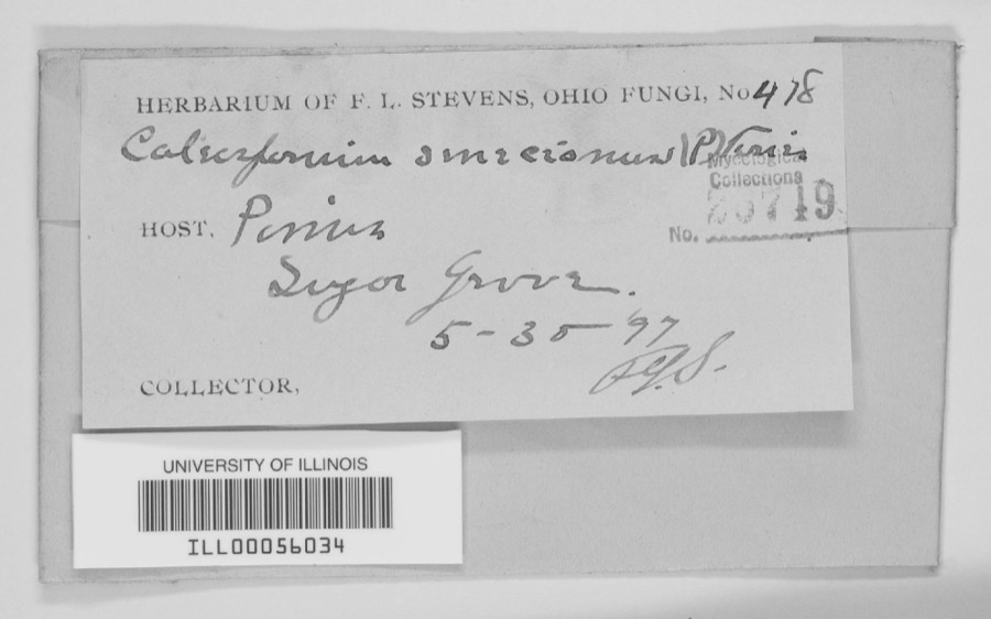 | unnamed | 1897 | F. L. Stevens | Sugar Grove. |
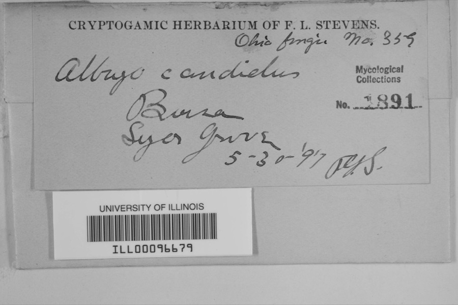 | Albugo candida (Pers. ex J.F.Gmel.) Roussel | 1897 | F.L. Stevens | Sugar Grove |
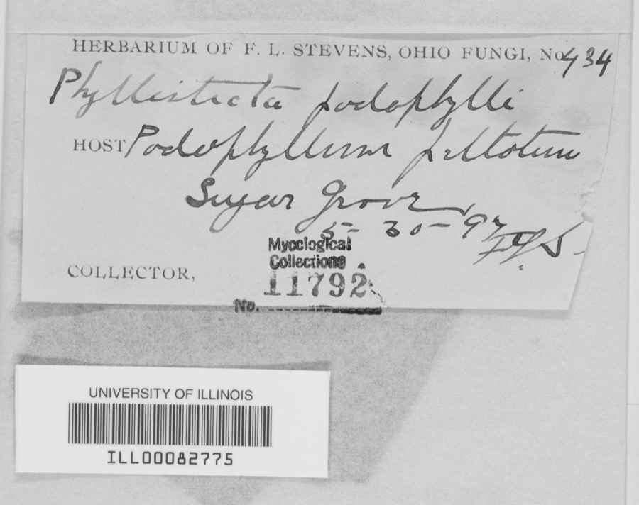 | Phyllosticta podophylli (M.A.Curtis) G.Winter | 1897 | F.L. Stevens | |
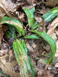 | Carex albursina E.Sheld. | 1835 | Collector unknown | |
 | Carex emmonsii var. muhlenbergii (A.Gray ex Torrey) Rettig | 1835 | Collector unspecified | |
 | Cercosporina apii (Fresen.) Miura | 1896 | Skinner C. W. | Troy |
| Marssonina panattoniana (Berl.) Magnus | 1896 | Skinner C. W. | Troy | |
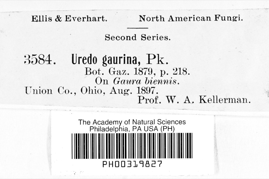 | Uredo | 1897 | Prof. W.A. Kellerman | |
 | Lanius ludovicianus Linnaeus, 1766 | 1898 | Collector(s): L. Kumlein | Milton, Ohio |
 | Daedalea confragosa (Bolton) Pers. | 1906 | Fischer G. C. | Troy |
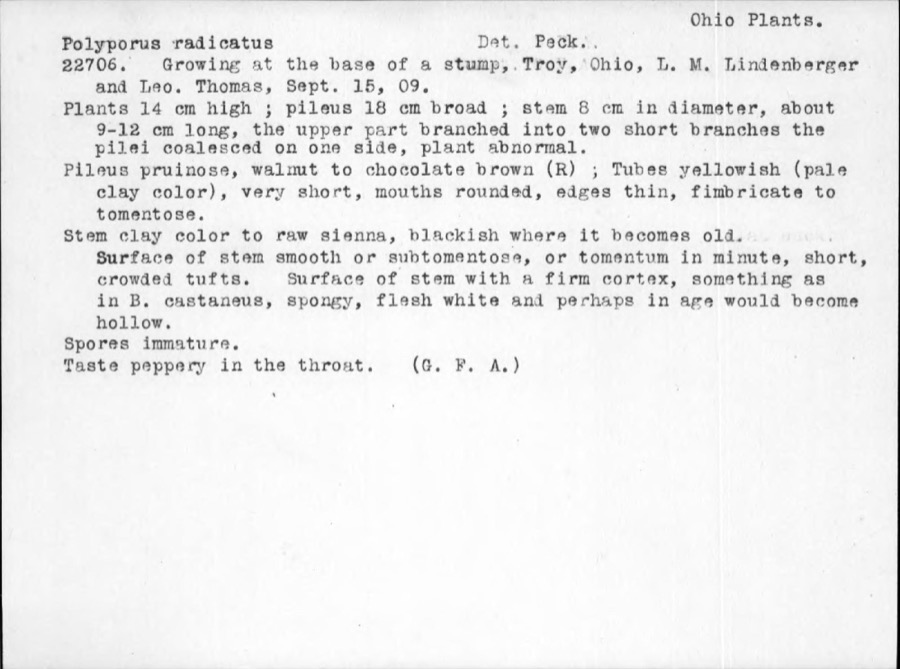 | Polyporus radicatus Schwein. | 1909 | Thomas | Troy |
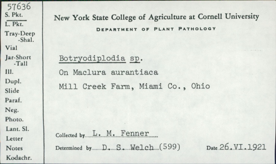 | Botryodiplodia (Sacc.) Sacc. | 1921 | L.M. Fenner | Mill Creek Farm |
All 257 specimens within 10 miles, at the Global Biodiversity Information Facility.
Mines and quarries near this place
10 of 12 shownRegional context, not property-specific evidence. The federal mineral resources record lists 12 workings within 5 miles of West Milton: 6 past producers, 5 producers, 1 plant. 6 still produce. What was taken out: Sand and Gravel, Construction, Limestone, General, Stone, Crushed/Broken, Limestone, Dimension. Distance is straight-line from the map coordinates, so a quarry counted here may appear on a neighbouring settlement's page as well.
| Where | Site | Commodity | Status | Recorded |
|---|---|---|---|---|
| Gregory Quarry | Limestone, Dimension | Past Producer | ||
| Gregory Pit | Stone, Crushed/Broken | Producer | ||
| Gregory Quarry | Limestone, General | Past Producer | Sedimentary | |
| Gregory Quarry | Limestone, General | Past Producer | Sedimentary | |
| Gregory Quarry | Stone, Crushed/Broken | Producer | ||
| Miller Brothers Gravel, Inc. Pit | Sand and Gravel, Construction | Past Producer | Sedimentary | |
| Miller Brothers Pit | Sand and Gravel, Construction | Producer | ||
| Northmont Sand and Gravel Pit | Sand and Gravel, Construction | Producer | ||
| Northmont Sand and Gravel Pit | Sand and Gravel, Construction | Past Producer | Sedimentary | |
| Steiners Pit | Sand and Gravel, Construction | Past Producer | Sedimentary |
Storms near this place
19 since 1998Regional context, not property-specific evidence. The National Weather Service names West Milton in 19 storm reports between 1998 and 2025: 13 thunderstorm wind, 2 hail, 2 tornado, 2 flash flood. No death or injury is recorded in these reports. Each account below is quoted exactly as the forecast office filed it, from the NOAA Storm Events Database, and each date opens the federal record of that event.
| When | Event | Place named | Harm | What the report says |
|---|---|---|---|---|
| June 2022 | Tornado (EF2) | West Milton | $1,000,000 | The tornado touched down west of West Milton in open farmland and was only loosely in contact with the ground as it traveled east through West Milton. Only minor tree damage was seen for the first few miles of the track, with the vast majority of the tree damage being broken limbs and a few uprooted trees.||As the tornado moved through the Nashville area and toward Tipp City, it began to strengthen and caused EF-1 category wind damage to trees, power poles, and residences along West Kessler Cowlesville Road, especially near its intersection with Peters Road.||As the tornado approached Interstate 75, it strengthened further and directly hit several large industrial warehouse buildings on both the east side and west sides of the Interstate. On the west side of the Interstate, a large warehouse suffered considerable roof damage and a complete collapse of an exterior wall. Several empty semi trailers were overturned or rolled. In this area, damage was consistent with wind speeds of around 120 mph, or EF-2 damage. ||The tornado continued across the Great Miami River into rural farmland where the intensity quickly decreased and damage to trees and outbuildings was consistent with EF-0 or low-end EF-1 damage. The tornado then lifted south-southeast of Casstown. |
| July 2004 | Tornado (F0) | West Milton | $25,000 | A tornado briefly touched down, causing severe damage to a house with its front porch ripped away from the frame. Aluminum siding and much of the roof was peeled off the house. Five trees were uprooted. |
| July 2023 | Thunderstorm Wind | West Milton | $10,000 | A few trees and power lines were downed. |
| June 2017 | Thunderstorm Wind | West Milton | $10,000 | The village of West Milton had a large number of tree limbs knocked down, along with power lines downed and power poles snapped. The most severely damaged area was the Emerick Road/South Miami Street area. |
| April 2025 | Thunderstorm Wind | West Milton | $5,000 | Several trees were downed in the West Milton area. |
| November 2000 | Thunderstorm Wind | West Milton | $5,000 | Trees were knocked down in several locations across the county. |
| July 1999 | Thunderstorm Wind | West Milton | $5,000 | Trees and power lines downed. |
| July 2012 | Thunderstorm Wind | West Milton | $3,000 | Numerous large branches were downed due to damaging thunderstorm winds. |
| May 2011 | Thunderstorm Wind | West Milton | $3,000 | Panels were ripped off of a barn due to damaging thunderstorm winds. |
| July 2003 | Thunderstorm Wind | West Milton | $3,000 | Trees were downed. |
| June 1998 | Thunderstorm Wind | West Milton | $3,000 | Trees downed. |
| November 2002 | Thunderstorm Wind | West Milton | $2,000 | Trees limbs were downed. |
| August 2016 | Thunderstorm Wind | West Milton | $1,000 | Numerous large branches and wires were knocked down. |
| May 2011 | Thunderstorm Wind | West Milton | $1,000 | A large tree limb was reported down due to a thunderstorm wind gust. |
| July 2025 | Flash Flood | West Milton | - | Water was flowing over Jay Road. |
| June 2017 | Hail | West Milton | - | Dime to quarter size hail fell in West Milton. |
| June 2006 | Flash Flood | West Milton | - | Several roads were flooded across Monroe Township. |
| April 2000 | Thunderstorm Wind | West Milton | - | A spotter measured a 60 mph wind gust. |
| May 2004 | Hail | West Milton | - | no account filed |
Nearest settlements
The eight closest, with where each one stands in the county. Distances are straight-line, computed from the Geographic Names Information System coordinates.
| Map | Place | Distance | Sheets |
|---|---|---|---|
| Pinebrook Estates | 0.9 miles | 12 | |
| Kessler | 2.3 miles | 12 | |
| Ludlow Falls | 2.5 miles | 12 | |
| Nashville | 2.6 miles | 12 | |
| Garland | 2.9 miles | 12 | |
| Pigeye | 2.9 miles | 12 | |
| County Line (historical) | 3.0 miles | 12 | |
| Ellemans (historical) | 3.2 miles | 13 |
Elsewhere
Matched on this settlement's Geographic Names Information System number rather than its name, so it cannot be a different place of the same name in another state.
| Wikipedia article on West Milton | An encyclopaedic summary. Its text is share-alike, so it is linked here rather than copied. |
| Wikidata item Q2004776 | The structured record the population and elevation above come from. Public domain (CC0). |
Provenance
This settlement is recorded in the Geographic Names Information System as feature 1061747. The sheet list is computed by point-in-boundary test against the United States Geological Survey's historical topographic inventory. Both are works of the United States government and carry no copyright under 17 U.S.C. 105.
Specimens. Global Biodiversity Information Facility (GBIF), https://www.gbif.org/. Only records licensed CC0 or CC BY are used. Records licensed CC BY-NC are excluded because this site carries advertising. Images are checked individually and any whose licence is non-commercial, no-derivatives or unreadable is refused.
Mines and quarries. USGS Mineral Resources Data System (MRDS) https://mrdata.usgs.gov/mrds/ A work of the United States government, no copyright under 17 U.S.C. 105.
Storms. NOAA National Centers for Environmental Information, Storm Events Database https://www.ncei.noaa.gov/stormevents/ A work of the United States government, no copyright under 17 U.S.C. 105. Narratives are quoted verbatim from the National Weather Service report and are not edited or summarised.