 Block
Block
Navarre, Ohio
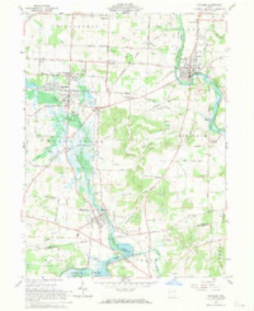
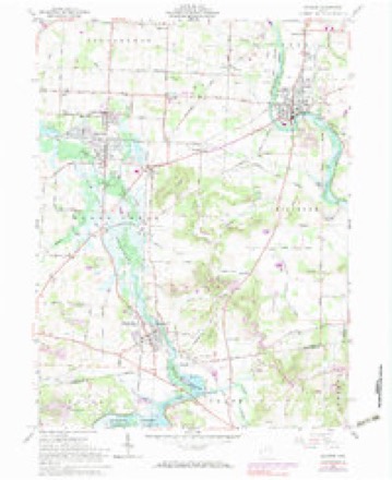
18 topographic sheets cover this place, the earliest surveyed in 1914 and the latest in 1994. It stands in Bethlehem Township. It lies in ZIP code area 44662. It stands on Wolf Creek. The Survey maps it on the Navarre quadrangle. 1,846 people lived here at the 2020 count. It stands 958 feet above sea level.
Population over time
2 figuresNavarre fell from 1,957 to 1,846 between 2010 and 2020. These are the recorded population figures Wikidata holds for this place, reached through the Geographic Names Information System number this page is keyed on rather than by name, so they belong to this place and not to another of the same name. Most are census counts, but not all are: an early figure may be a founding or settlement estimate. The change column is computed, and is left blank where more than 20 years separate a figure from the one before it, because a gap that long is not a change between two counts.
| Year | People | Change |
|---|---|---|
| 2010 | 1,957 | |
| 2020 | 1,846 | -111 (-6%) |
Then and now
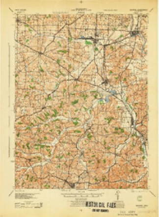
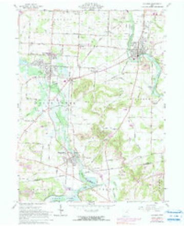
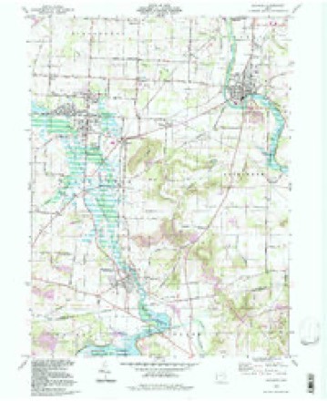
1914 to 1994The same ground, surveyed 80 years apart. Drag the handle to wipe between them. Both sheets are United States Geological Survey originals; neither has been altered.
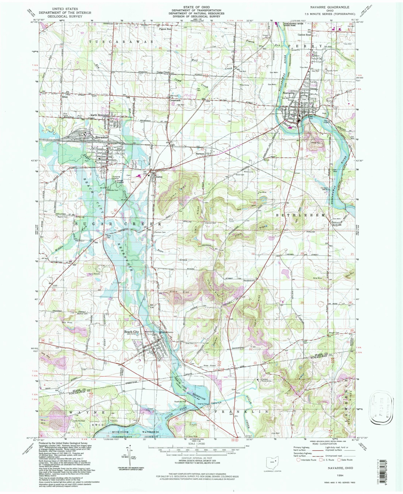
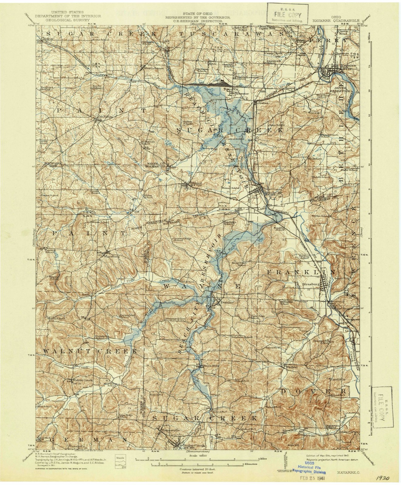
Topographic sheets covering this place
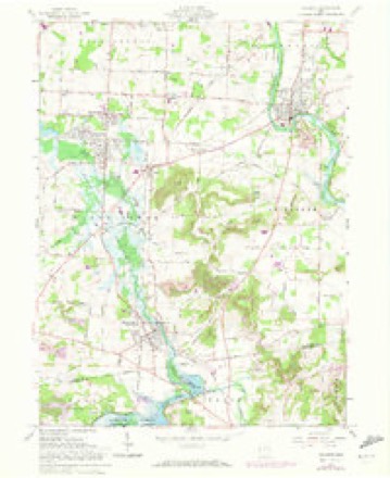
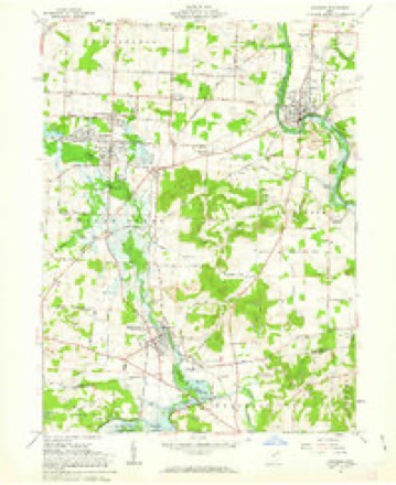
18 sheetsMatched by testing this settlement's coordinate against the published boundary of every sheet in the United States Geological Survey's historical collection. Each opens the scanned sheet at the Survey.
- 1914 USGS Navarre quadrangle1:62500
- 1914 USGS Navarre quadrangle1:62500
- 1944 USGS Navarre quadrangle1:62500
- 1951 USGS Canton quadrangle1:250000
- 1953 USGS Canton quadrangle1:250000
- 1957 USGS Canton quadrangle1:250000
- 1957 USGS Canton quadrangle1:250000
- 1957 USGS Canton quadrangle1:250000
- 1961 USGS Navarre quadrangle1:24000
- 1961 USGS Navarre quadrangle1:24000
- 1961 USGS Navarre quadrangle1:24000
- 1961 USGS Navarre quadrangle1:24000
- 1961 USGS Navarre quadrangle1:24000
- 1962 USGS Canton quadrangle1:250000
- 1962 USGS Canton quadrangle1:250000
- 1986 USGS Canton quadrangle1:100000
- 1986 USGS Canton quadrangle1:100000
- 1994 USGS Navarre quadrangle1:24000







In the county-history sources
358,609 words on this townshipHistory of Stark County, with an Outline Sketch of Ohio, published 1881 names this settlement in its chapter on Bethlehem Township. These are the passages that mention it, exactly as the scans read.
The village of Bethlehem was laid out while Stark was j'et a part of Columliiana (!ounty. The original village plat maj* be seen at the county seat of that county. Calcutta was laid out as stated above, in 1819. though the plat thereof does not appear on the i-ecords at Canton. One of two things must be true : either the record of the plat has been lost or destroyed, or the plat was not properly recorded. When the Ohio Canal was built through the township and opened, Bethlehem was re-enforced by population and prosperity. By 1830, there were some twenty dwellings. H. & I). Allman opened a store there in about the year 1828, and had a stock of goods worth probably $4,000. In October, 1833, Nathan JMc(irew laid out thirtysix lots on fractional Section 5, about three hundred yards west of Bethlehem, along the bank of the river, and named the village thus begun Rochester. He immediately ottered the lots for sale, but Bethlehem proved a formidable rival, and he did not succeed very well. In March, 1834, James Duncan laid out nineteen lots on the bank of the canal between Rochester and Bethlehem, and named this village Navarre. The reason for the projection of new villages so near together and so near Bethlehem is not very clear. The latter village was so situated that quite a steep bluff' was between it and the canal. This rendered the shipment of all kinds of productions a troublesome matter, as buildings could not be located on the bank, and, even if they could, teams could not approach to unload grain. And besides this, there was considerable fun thrown at the village on account of its inactivity in the management of the grain trade. People seemed afraid to locate there, and men with capital moved on to localities which pleased them better. This state of things continued until a few years after the opening of the canal, or until the other villages were laid out. Mr. McGrew laid out Rochester on the bank of the canal. I)ut there the approaches were unfavorable to the rapid handling of grain. These facts led Mr. Duncan to lay out Navarre. The Massillon Rolling Mill Company was in existence at that time, and had considerable capital at its command. This was partly invested in land. Mr. Duncan was a member of the company, and was authorized to [)urchase the land upon which the village of Navan-e now stands. This he did. He also laid out the village with the intention of building his up at the expense of the other two. His plan, owing to the imperfect location of the other villages as regards the canal, and the jealousy that had sprung up between them, was in a measure successful. The Allraan Brothers, who were then keeping store in Bethlehem and doing a general warehouse business, wei'e induced to transfer their interests to the new village of Rochester. This movement met with opposition from the Bethlehemites who at first endeavored to persuade them to remain, but finding this course unavailing they made efforts to kill out Rochester. Duncan built a store building in Navarre, and J. & W. Chapman, who were selling goods in Bethlehem, moved to the former place. The withdrawal of the Ciiapmans and the Allmans from Bethlehem was a serious blow to the expectations of that village. McGrew who had been in business there had left and laid out Rochester. Tiiese men saw that, in view of the growing trade at that point, a better location was not onlj- desiralile but, if extensive business on the canal was to be done, it was neeessarj-. This, among other things, led them to break away from Bethlehem. After they left, G-eorge Pfoiitz o|)ened a store where they had been, and bought grain at the old warehouse they had occupied and deserted. This was about the year 1835. Duncan built at Navarre a grist-mill and a saw-mill, besides other buildings, including several dwellings. In short, he did his best to build up the village he had founded. The saw-mill was soon afterward burned down, but was immediately rebuilt. After a few years, it was again burned down, and was then permitted to remain down. Stump & Fisher opened a store at Bethlehem in about the year 1838. The Allman Brothers, when they went to Rochester, built a storehouse and also a large warehouse. From this time forward there was constant rivalry between the three villages. In each there were merchants who were bujnng large" quantities of grain and produce, and as a necessary consequence each was envious of the prosperity of tlie others, ('lose margins were made in consequence, the merchants endeavoring to undersell each otiier in store goods and over pay each other in the trade in grain. The results are easily guessed. Their business soon languished under this pressure, and when the financial troubles of 1837 came on, the merchants failed and made an assignment of their property. From this time onward almost every man who engaged in buying grain at the villages failed in business. As soon as a man opened a store in either of the villages he must dabble in the speculation in wheat. These men did not profit by the experience of those who had failed before them. They, forsooth, were shrewd enough to foresee the future condition of the markets. And another thing : they would not permit the other buyers to do a more extensive business than themselves ; tliat would not do. The facts are curious, yet this was about the condition of affairs for a number of years. Failure after failure succeetled each other, and still a fresh supply of daring capitalists crowded their way to the front. Among the men who have been in business in the villages are the following : Isaac Hawk, Charles Poe (a descendant of the renowned borderer of that name), p]nos Raffensperger. who with Chapman, in 1845, laid out a large addition to Rochester, Hill & Waldron, Martin & Harris, Brobts & Rudey, R. & J. Sprankle, Davidson & Company, Mr. Wertenbergert, D. Mentzer, Bash, Minor & Company, Goodman, Chapman & Company, J. & M. Bash, Goshorn & Rose, Goshorn & Eckrode, Dennius & Draoenstrod, Zerby & Gorgas, H. V. Beeson & Company, Hall & Companj', Loutzenheiser & Company, Hetzler & Company, Thompson & Baxter, J. & J. \V. Raffensberger, G. H. Cross, and others. Among the present business enterprises are, G. H. Cross, John Weidman, Daniel Metzer, Alexander Garver, G. W. Henline, (xrossklaus & Ricksecker, Gnau & Moog, A. Schmidt, J. Loud, Mrs. Donnovan, milliner, and others.
Passage source: History of Stark County, with an Outline Sketch of Ohio, published 1881.
In about the j'ear 1 84-1. W. Wann erected a suitable building, and l)egan manufacturing plows, stoves, steam engines, hollow-ware. etc. He employed a few assistants, and, after continuing a few years, admitted a partner named Widgeon. These men then extended the scope of the enterprise somewhat, and after the lapse of a few years, sold to C. & J. Snyder. Finally, Yant, App & Company purchased the foundry, and, in addition to what had been manufactured before, began making wheat drills. After this, under other owners, the business was changed to that of wagon and carriage making. At present, under R, Hug, the building is a planing-mill, where doors, windows, blinds, etc are manufactured.
Passage source: History of Stark County, with an Outline Sketch of Ohio, published 1881.
J. H. McCRKA, furniture, Canton, the leading furniture dealer of (Janton, No. 45 Hast Tuscarawas street, was born in Westmoreland County, I'enn. in 1826. He learned the trade of a cabinet-maker in Pittsburgh, and subsequently worked at it for two years in Cincinnati. In 1868, he removed to Canton and established his present house, and by industry, application to business, thorough knowledge of the trade in all its details and requirements, as well as a uniform system of fair and honoraltle dealing, he has built up one of the finest establishments of the kind in the West, and one, too, of which she is, as she maj' well be, proud of In addition to the furniture trade, Mr. McCrea. does a large business in upholstering. He is also well known as the most careful and courteous undertaker in the city. He is probably oix'upying more space in the transaction of his business than many of the citizens of (!anton are aware of With additions recently made, he now has an establishment of twenty-two feet frontage by 17(( feet deep, three floors and basement, besides one room, 35xlOI{ feet in the adjoining building. His annual sales are about §45.000. He has never taken an active part in [lolitical afiairs, choosing rather to devote his time and energies to the building up of a good reliable business, and how well he has succeeded is be3-ond the question of an experiment. He is a member of St, John's Catholic Church, a friend and liberal donator to any cause pertaining to the improvement of Canton, or the welfare of her citizens.
Passage source: History of Stark County, with an Outline Sketch of Ohio, published 1881.
Machine-read from a century-old scan, so expect the errors a machine makes: misspelled names, dropped words, stray characters.
Read the whole chapter on Bethlehem Township - it names this place 54 more 54 times.
Photographs
1 photograph, 2016Taken for the Office of War Information and the Farm Security Administration, who photographed the country between 1935 and 1944. Works of United States government photographers, with no known restriction on use. Each opens its catalogue record.
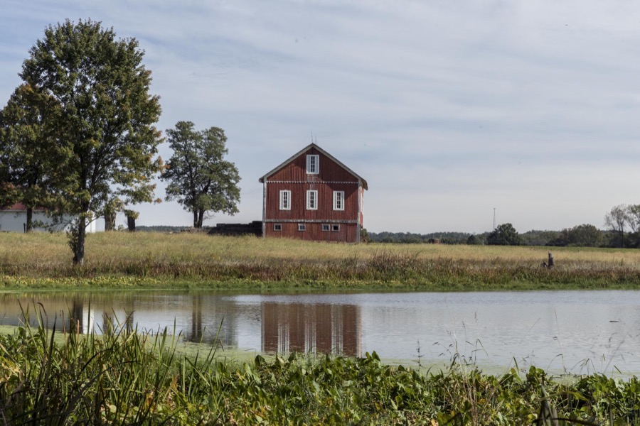
Highsmith, Carol M, 2016. Library of Congress
Fires near this place
10 since 2005Regional context, not property-specific evidence. The federal wildfire occurrence database lists 10 fires within 5 miles of Navarre between 2005 and 2020, burning about 11 acres in total. None started naturally. None was recorded as arson. Distance is straight-line from the map coordinates, so a fire counted here may appear on a neighbouring settlement's page as well.
| Reported cause | Fires |
|---|---|
| Debris and open burning | 8 |
| Power generation/transmission/distribution | 1 |
| Missing data/not specified/undetermined | 1 |
The most recent of them, most recent first, with the day each was reported and the service that recorded it.
| Date | Cause | Size | Reported by | Name on the report |
|---|---|---|---|---|
| 23 May 2017 | Debris and open burning | under an acre | Ohio Department of Natural Resources | 8606 |
| 9 April 2005 | Debris and open burning | 2.0 acres | Ohio Department of Natural Resources | not named |
| 21 April 2015 | Power generation/transmission/distribution | 1.0 acres | Ohio Department of Natural Resources | 1002 |
| 17 April 2005 | Debris and open burning | 3.0 acres | Ohio Department of Natural Resources | not named |
| 16 April 2005 | Debris and open burning | under an acre | Ohio Department of Natural Resources | not named |
| 10 April 2005 | Debris and open burning | 1.0 acres | Ohio Department of Natural Resources | not named |
| 6 March 2018 | Debris and open burning | 1.2 acres | Ohio Department of Natural Resources | 11645 |
| 29 March 2005 | Missing data/not specified/undetermined | under an acre | Ohio Department of Natural Resources | not named |
Settlements close enough to share some of these fires:
Specimens collected near this place
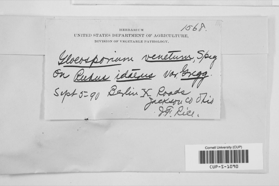
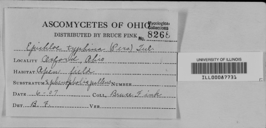
12 of 369 shownRegional context, not property-specific evidence. Museums hold 369 specimens collected within 10 miles of Navarre between 1836 and 1975: 325 Animalia, 37 Plantae, 3 Fungi, 2 Unrecorded, 1 Protozoa, 1 Chromista. 12 distinct Species records are shown. Collected by A.M. Rogers, Anson A. Hinkley, Armbruster, D. C. (Daniel C.) and others. Each is a physical object with a catalogue number, and each entry opens the museum's record. This is what was collected and kept, not a survey of what lives here - nothing can be concluded from a species being absent.
| Image | Species | Year | Collected by | Where, as recorded |
|---|---|---|---|---|
 | Gloeosporium venetum Speg. | 1890 | J.T. Rice | |
 | unnamed | 1907 | Bruce Fink | |
 | Catocala flebilis Grote, 1872 | 1940 | not recorded | Navarre |
 | Carex granularis Muhl. ex Willd. | 1836 | Collector unknown | Canton |
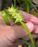 | Carex intumescens Rudge | 1836 | Collector unknown | Canton |
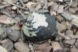 | Theliderma metanevra (Rafinesque, 1820) | 1875 | Sterki, Victor | Beach City |
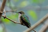 | Archilochus colubris (Linnaeus, 1758) | 1885 | Bulley, R. H | Canton |
 | Dumetella carolinensis (Linnaeus, 1766) | 1885 | Bulley, R. H | Canton |
 | Hylocichla mustelina (Gmelin, 1789) | 1885 | Bulley, R. H | Canton |
 | Icterus galbula (Linnaeus, 1758) | 1885 | not recorded | Canton |
 | Melospiza georgiana (Latham, 1790) | 1885 | Bulley, R. H | Canton |
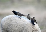 | Molothrus ater ater (Boddaert, 1783) | 1885 | Bulley, R. H | Canton |
All 369 specimens within 10 miles, at the Global Biodiversity Information Facility.
Mines and quarries near this place
7 within 5 milesRegional context, not property-specific evidence. The federal mineral resources record lists 7 workings within 5 miles of Navarre: 4 producers, 2 past producers, 1 plant. 5 still produce. What was taken out: Sand and Gravel, Construction, Iron. Distance is straight-line from the map coordinates, so a quarry counted here may appear on a neighbouring settlement's page as well.
| Where | Site | Commodity | Status | Recorded |
|---|---|---|---|---|
| Republic Steel/ Massillon, Ohio | Iron | Producer | ||
| Allied Corp Plant No 3 & Pit | Sand and Gravel, Construction | Plant | ||
| Allied Corp. Plant Number 3 | Sand and Gravel, Construction | Past Producer | Sedimentary | |
| Navarre Pit | Sand and Gravel, Construction | Past Producer | Sedimentary | |
| Navarre Pit Mass. Washed Gravel | Sand and Gravel, Construction | Producer | ||
| Northern Ohio Pit | Sand and Gravel, Construction | Producer | ||
| Oster Sand & Gravel Missilon Pit | Sand and Gravel, Construction | Producer |
Storms near this place
14 since 1994Regional context, not property-specific evidence. The National Weather Service names Navarre in 14 storm reports between 1994 and 2020: 9 thunderstorm wind, 5 hail. The reports record 1 injury. Each account below is quoted exactly as the forecast office filed it, from the NOAA Storm Events Database, and each date opens the federal record of that event.
| When | Event | Place named | Harm | What the report says |
|---|---|---|---|---|
| April 2001 | Hail | Navarre | 1 hurt | Dime size hail hit a person in the head and caused a laceration. |
| August 2010 | Thunderstorm Wind | Navarre | $20,000 | Thunderstorm winds downed numerous large trees in a camping area near Haut and Sherman Church roads. No injuries were reported at the camping area. |
| September 2015 | Thunderstorm Wind | Navarre | $10,000 | The fire department reported 8 to 10 trees either sheared or uprooted when thunderstorms came through in the vicinity of Pidgeon Run Avenue Southwest and Poorman Street southwest in Navarre. |
| May 2014 | Thunderstorm Wind | Navarre | $10,000 | Thunderstorm winds downed a few trees and large limbs. |
| August 1998 | Thunderstorm Wind | Navarre | $7,000 | Several trees were downed in the southwest portion of the county. |
| June 2009 | Thunderstorm Wind | Navarre | $3,000 | A few trees were reported down. |
| June 2011 | Thunderstorm Wind | Navarre | $2,000 | Thunderstorm winds downed two large trees at a local park. |
| September 2000 | Thunderstorm Wind | Navarre | $2,000 | Thunderstorm winds downed one tree and one large limb. |
| April 2020 | Thunderstorm Wind | Navarre | - | Multiple trees down in Navarre. Several dozen pine trees snapped or uprooted at the corner of Beth Avenue and Seeman Street SW in Bethlehem Township (i.e. 2 miles southeast of Navarre). |
| August 2020 | Thunderstorm Wind | Navarre | - | Trees and power lines downed two miles ENE of Navarre. |
| May 2012 | Hail | Navarre | - | Quarter sized hail was observed. |
| April 1997 | Hail | Navarre | - | no account filed |
| May 1997 | Hail | Navarre | - | no account filed |
| April 1994 | Hail | Navarre | - | no account filed |
Nearest settlements
The eight closest, with where each one stands in the county. Distances are straight-line, computed from the Geographic Names Information System coordinates.
| Map | Place | Distance | Sheets |
|---|---|---|---|
| Navarre Village | 0.5 miles | 18 | |
| Tarrymore | 0.6 miles | 18 | |
| Canton Road | 1.6 miles | 18 | |
| Knights Crossing | 2.2 miles | 16 | |
| Harmon | 2.2 miles | 18 | |
| Rockville | 2.5 miles | 18 | |
| Crossroads | 2.7 miles | 18 | |
| Camp Creek | 2.8 miles | 18 |
Elsewhere
Matched on this settlement's Geographic Names Information System number rather than its name, so it cannot be a different place of the same name in another state.
| Wikipedia article on Navarre | An encyclopaedic summary. Its text is share-alike, so it is linked here rather than copied. |
| Wikidata item Q2670502 | The structured record the population and elevation above come from. Public domain (CC0). |
Provenance
This settlement is recorded in the Geographic Names Information System as feature 1065094. The sheet list is computed by point-in-boundary test against the United States Geological Survey's historical topographic inventory. Both are works of the United States government and carry no copyright under 17 U.S.C. 105.
Wildfire. Short, Karen C. 2022. Spatial wildfire occurrence data for the United States, 1992-2020 [FPA_FOD_20221014]. 6th Edition. Fort Collins, CO: Forest Service Research Data Archive. https://doi.org/10.2737/RDS-2013-0009.6 Collected with United States Government funding and usable without additional permissions or fees.
Specimens. Global Biodiversity Information Facility (GBIF), https://www.gbif.org/. Only records licensed CC0 or CC BY are used. Records licensed CC BY-NC are excluded because this site carries advertising. Images are checked individually and any whose licence is non-commercial, no-derivatives or unreadable is refused.
Mines and quarries. USGS Mineral Resources Data System (MRDS) https://mrdata.usgs.gov/mrds/ A work of the United States government, no copyright under 17 U.S.C. 105.
Storms. NOAA National Centers for Environmental Information, Storm Events Database https://www.ncei.noaa.gov/stormevents/ A work of the United States government, no copyright under 17 U.S.C. 105. Narratives are quoted verbatim from the National Weather Service report and are not edited or summarised.