 Block
Block
Nelsonville, Ohio
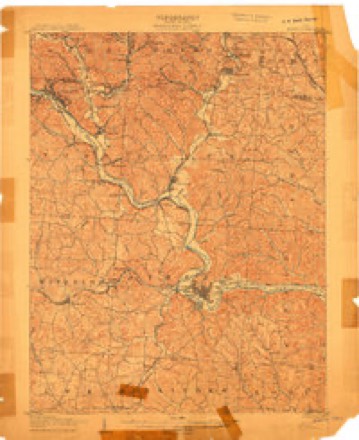
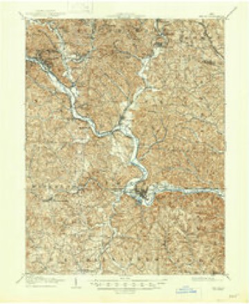
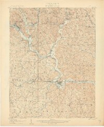
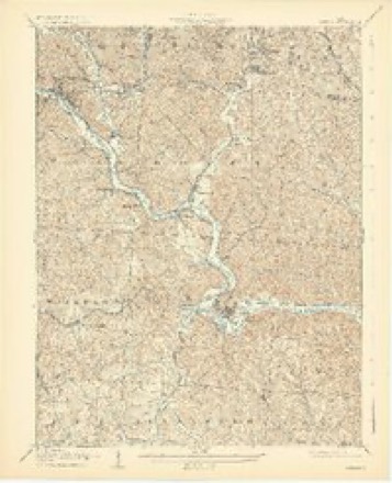
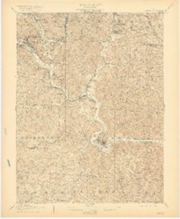
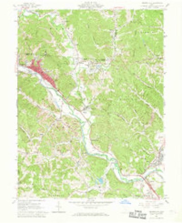
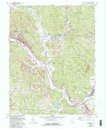
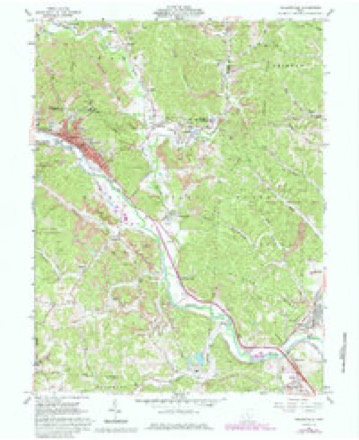
21 topographic sheets cover this place, the earliest surveyed in 1903 and the latest in 2002. It stands in York Township. It lies in ZIP code area 45764. It stands on Dorr Run. The Survey maps it on the Nelsonville quadrangle. 4,612 people lived here at the 2020 count. It stands 679 feet above sea level.
Population over time
2 figuresNelsonville fell from 5,392 to 4,612 between 2010 and 2020. These are the recorded population figures Wikidata holds for this place, reached through the Geographic Names Information System number this page is keyed on rather than by name, so they belong to this place and not to another of the same name. Most are census counts, but not all are: an early figure may be a founding or settlement estimate. The change column is computed, and is left blank where more than 20 years separate a figure from the one before it, because a gap that long is not a change between two counts.
| Year | People | Change |
|---|---|---|
| 2010 | 5,392 | |
| 2020 | 4,612 | -780 (-14%) |
Then and now
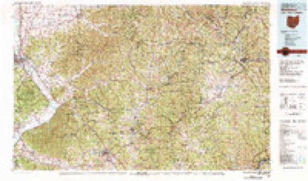
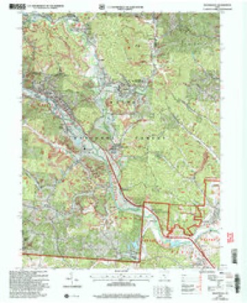
1903 to 2002The same ground, surveyed 99 years apart. Drag the handle to wipe between them. Both sheets are United States Geological Survey originals; neither has been altered.
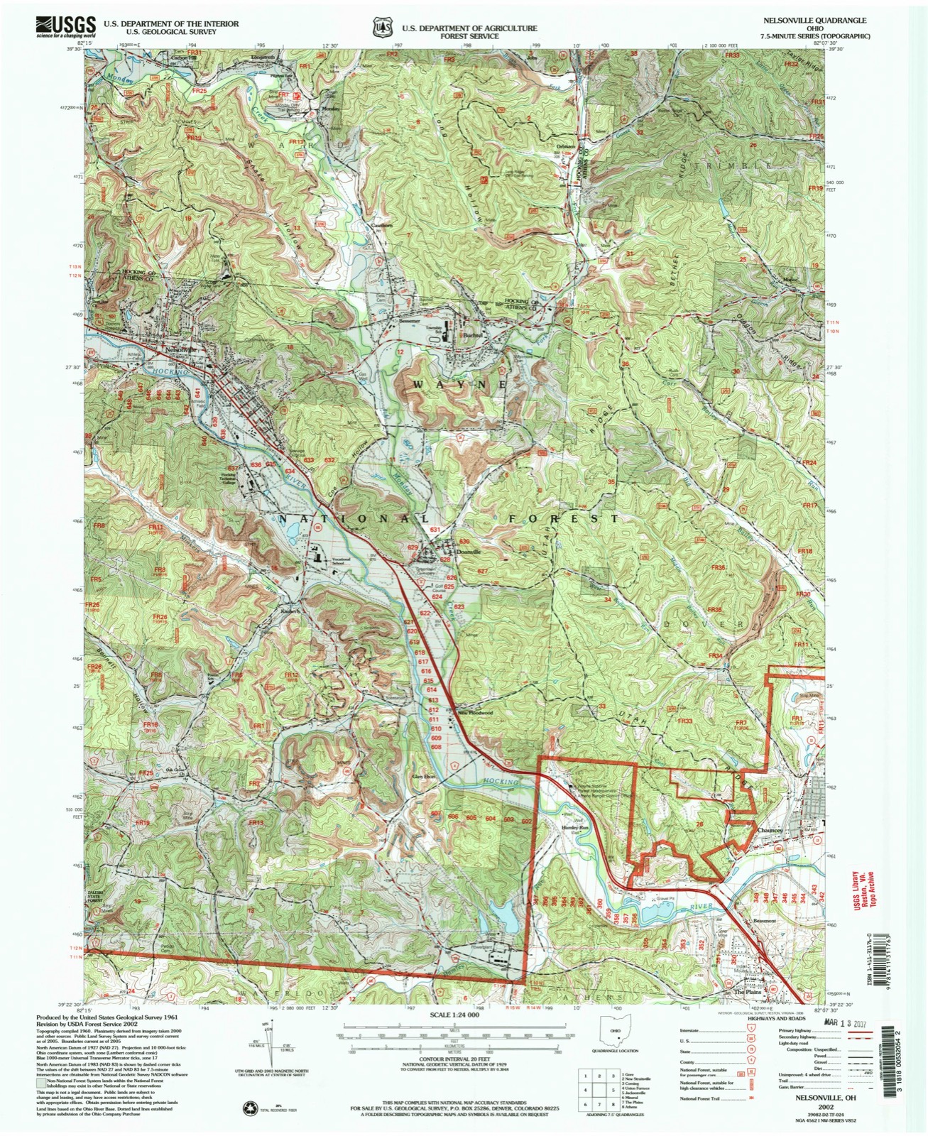
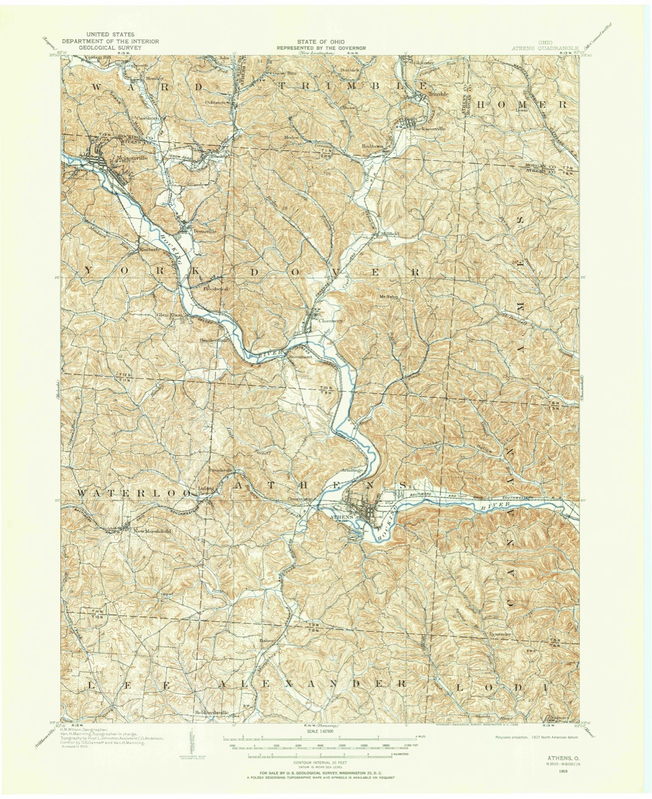
Compare 1903 against another survey:
Topographic sheets covering this place
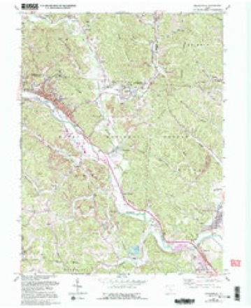
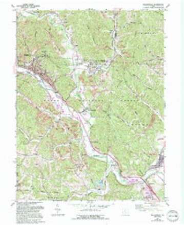
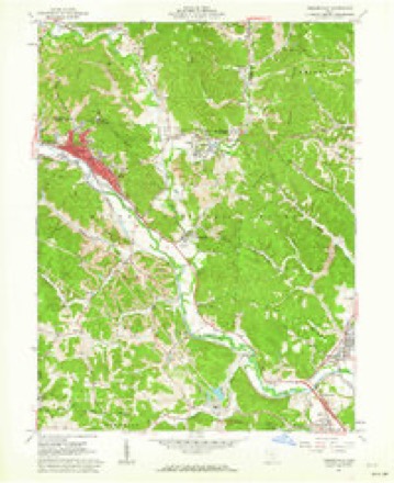
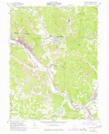
21 sheetsMatched by testing this settlement's coordinate against the published boundary of every sheet in the United States Geological Survey's historical collection. Each opens the scanned sheet at the Survey.
- 1903 USGS Athens quadrangle1:62500
- 1905 USGS Athens quadrangle1:62500
- 1905 USGS Athens quadrangle1:62500
- 1905 USGS Athens quadrangle1:62500
- 1905 USGS Athens quadrangle1:62500
- 1905 USGS Athens quadrangle1:62500
- 1905 USGS Athens quadrangle1:62500
- 1947 USGS Columbus quadrangle1:250000
- 1961 USGS Columbus quadrangle1:250000
- 1961 USGS Nelsonville quadrangle1:24000
- 1961 USGS Nelsonville quadrangle1:24000
- 1961 USGS Nelsonville quadrangle1:24000
- 1961 USGS Nelsonville quadrangle1:24000
- 1961 USGS Nelsonville quadrangle1:24000
- 1961 USGS Nelsonville quadrangle1:24000
- 1961 USGS Nelsonville quadrangle1:24000
- 1962 USGS Columbus quadrangle1:250000
- 1967 USGS Columbus quadrangle1:250000
- 1967 USGS Columbus quadrangle1:250000
- 1980 USGS Wellston quadrangle1:100000
- 2002 USGS Nelsonville quadrangle1:24000





Fires nearby
152 since 1993The federal wildfire occurrence database lists 152 fires within 5 miles of Nelsonville between 1993 and 2020, burning about 276 acres in total. 2 started naturally. 4 were recorded as arson. Distance is straight-line from the map coordinates, so a fire counted here may appear on a neighbouring settlement's page as well.
| Reported cause | Fires |
|---|---|
| Recreation and ceremony | 76 |
| Debris and open burning | 36 |
| Missing data/not specified/undetermined | 10 |
| Equipment and vehicle use | 9 |
| Power generation/transmission/distribution | 8 |
| Other causes | 6 |
| Arson/incendiarism | 4 |
| Natural | 2 |
| Smoking | 1 |
The most recent of them, most recent first, with the day each was reported and the service that recorded it.
| Date | Cause | Size | Reported by | Name on the report |
|---|---|---|---|---|
| 8 September 2007 | Recreation and ceremony | 1.0 acres | Wayne National Forest | TRAIL HEAD 5 FIRE |
| 7 September 2002 | Debris and open burning | under an acre | Ohio State Fire Marshal's Office | not named |
| 4 September 2006 | Debris and open burning | 1.0 acres | Wayne National Forest | PINE FIRE |
| 4 September 2006 | Recreation and ceremony | 1.0 acres | Wayne National Forest | HIDEWAY FIRE |
| 4 September 2006 | Debris and open burning | 1.0 acres | Wayne National Forest | BOX FIRE |
| 3 September 2017 | Power generation/transmission/distribution | under an acre | Wayne National Forest | 180 |
| 28 September 2019 | Debris and open burning | under an acre | Wayne National Forest | BYERS RD |
| 26 September 2020 | Equipment and vehicle use | under an acre | Wayne National Forest | SNAKE HOLLOW |
Settlements close enough to share some of these fires:
Specimens collected nearby
12 of 237 shownMuseums hold 237 specimens collected within 10 miles of Nelsonville between 1898 and 1975: 178 Animalia, 31 Plantae, 27 Fungi, 1 Unrecorded. 12 distinct Species records are shown. Collected by A. D. Selby, Campbell, L. W. (Louis W.), Clifford M Wetmore and others. Each is a physical object with a catalogue number, and each entry opens the museum's record. This is what was collected and kept, not a survey of what lives here - nothing can be concluded from a species being absent.
| Image | Species | Year | Collected by | Where, as recorded |
|---|---|---|---|---|
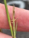 | Sporobolus vaginiflorus (Torr. ex A.Gray) Alph.Wood | 1898 | Selby, A.D. | Palos |
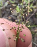 | Dichanthelium acuminatum (Sw.) Gould & C.A.Clark | 1899 | Selby, A.D. | Palos |
 | Diospyros virginiana L. | 1899 | A. D. Selby | Marshfield |
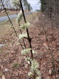 | Salix humilis var. tristis (Aiton) Griggs | 1899 | Selby, A.D. | Marshfield |
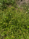 | Scirpus polyphyllus Vahl | 1899 | Selby, A.D. | Palos |
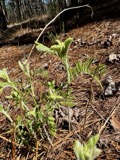 | Tephrosia virginiana (L.) Pers. | 1899 | Selby, A.D. | Marshfield |
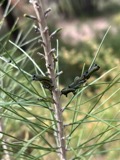 | Neodiprion Rohwer, 1918 | 1915 | not recorded | |
 | Bombus impatiens Cresson, 1863 | 1916 | not recorded | |
 | Uromyces appendiculatus (Pers.) Unger | 1919 | L. Bonar | Glouster |
 | Desmognathus fuscus (Rafinesque, 1820) | 1929 | Hicks, L. E. (Lawrence E.) & Trautman, M. B. (Milton Bernard) | near Buchtel, Athens Co., Ohio |
 | Plethodon cinereus (Green, 1818) | 1929 | Hicks, L. E. (Lawrence E.) & Trautman, M. B. (Milton Bernard) | near Buchtel, Athens Co., Ohio |
| Synandra hispidula (Michx.) Britton | 1939 | F. Bartley | Along Ohio Brush Creek near Jacksonville |
All 237 specimens within 10 miles, at the Global Biodiversity Information Facility.
Mines and quarries nearby
8 within 5 milesThe federal mineral resources record lists 8 workings within 5 miles of Nelsonville: 5 past producers, 3 producers. 3 still produce. What was taken out: Sand and Gravel, Construction, Clay, Coal. Distance is straight-line from the map coordinates, so a quarry counted here may appear on a neighbouring settlement's page as well.
| Where | Site | Commodity | Status | Recorded |
|---|---|---|---|---|
| Nutter Bros Pit | Clay, Coal | Producer | ||
| Nutter Brothers Clay Pit | Clay | Past Producer | Sedimentary | |
| Nutter Brothers Clay Pit | Clay | Past Producer | ||
| Kimberly Plant | Sand and Gravel, Construction | Past Producer | Sedimentary | |
| Kimberly Plant | Sand and Gravel, Construction | Producer | ||
| Lake Hope Asphalt S&G Inc | Sand and Gravel, Construction | Producer | ||
| Nelsonville Pit | Sand and Gravel, Construction | Past Producer | Sedimentary | |
| Nelsonville Pit | Sand and Gravel, Construction | Past Producer |
Storms nearby
41 since 1994The National Weather Service names Nelsonville in 41 storm reports between 1994 and 2025: 18 thunderstorm wind, 14 hail, 5 flash flood, 3 flood. The reports record 1 death. Each account below is quoted exactly as the forecast office filed it, from the NOAA Storm Events Database, and each date opens the federal record of that event.
| When | Event | Place named | Harm | What the report says |
|---|---|---|---|---|
| May 2012 | Flash Flood | Nelsonville | 1 killed, $250,000 | Small streams across the northern portion of the county flooded. ||An elderly couple was driving home along Linscott Run. This is a small tributary to Federal Creek near Amesville. Close to home, the husband decided to stop his vehicle and wait out some high water. Their vehicle became surrounded by rising water. The couple made an attempt to walk to nearby higher ground. The wife was using a walker due to recent hip surgery. She slipped and the husband could not hold on to her. The current swept her away. The fire department located her body around dawn on the 5th, about a half mile downstream. The husband was helped to safety by neighbors using a garden hose. Route 550 was also flooded in Amesville. ||Several streets in Nelsonville were flooded including along Dorr Run and Pleasant View Road. Large dump rocks, used in the bypass construction, were even moved by the water. A wall to a garage was knocked over by the water. A house foundation was damaged.||A vehicle was flooded along Margaret Creek near Albany. The occupants were unhurt at a nearby home when the local fire department arrived. |
| June 2012 | Thunderstorm Wind | Nelsonville | $2,500,000 | Numerous trees or large branches fell across the county. Nearly 24,000 customers lost electricity. Damage assessment included 1 home destroyed, 4 with major damage, and 3 with minor damage across the county. The public infrastructure damage assessment was around $580,000. |
| April 2002 | Hail | Nelsonville | $200,000 | no account filed |
| April 2011 | Flood | Nelsonville | $50,000 | Numerous small streams overflowed and blocked roads during the daylight hours on the 19th. The Hocking River then caused flooding into the 21st. Damage was mainly to roads and a few culverts. |
| June 2009 | Flash Flood | Nelsonville | $50,000 | Rain amounts of 2 to 2.5 inches fell in about 2 hours. A spotter reported 1.6 inches in an hour. The 24 hour rain total was 3.5 inches at Nelsonville. The town of Athens was just south of the heaviest rain with a 24 hour rain total of 1.8 inches. Small streams flooded and closed several roads. The stream gauge at Doanville on the lower reaches of Monday Creek rose 10 to 11 feet in a few hours. |
| June 2015 | Flash Flood | Nelsonville | $10,000 | Roads were flooded and closed, including State Route 356, 56, and 690. Rockcamp Creek flooded near Mineral. No dwellings were flooded. |
| November 2013 | Thunderstorm Wind | Nelsonville | $10,000 | Several trees were blown down on Edward Street. |
| June 2005 | Thunderstorm Wind | Nelsonville | $10,000 | Trees and large branches were knocked down. One tree fell across a house. |
| July 2002 | Flash Flood | Nelsonville | $10,000 | Rains of 2 to 3.5 inches fell in less than 3 hours, in a northwest to southeast corridor, along the Hocking River Valley. An automatic gauge south of Nelsonville measured 3.5 inches of rain. In the city of Athens, 3.4 inches of rain was recorded. The Plains measured 3.1 inches. Streams flooded roads in such communities as Athens, The Plains, and Chauncey. The York Fire Department went to the aid of motorists stalled in water along township roads. No flooding of dwellings was known. |
| July 2013 | Thunderstorm Wind | Nelsonville | $5,000 | Multiple trees were knocked down around Nelsonville including on Diamond Brook Road and Old Route 33. |
| March 2012 | Thunderstorm Wind | Nelsonville | $5,000 | Several trees were blown down. |
| July 2011 | Flash Flood | Nelsonville | $5,000 | Around 1.5 inches of rain fell in less than an hour with the second cluster of storms, causing minor flash flooding. Several streets were flooded, but no dwellings were affected. |
| June 1994 | Thunderstorm Wind | Nelsonville | $5,000 | Trees were downed, some on power lines, at several locations. |
| April 2016 | Hail | Nelsonville | $5,000 | no account filed |
| March 2012 | Hail | Nelsonville | $5,000 | no account filed |
| April 2018 | Flood | Nelsonville | $2,000 | Several roads were flooded in Doanville, including Lang Road, Brady Road and Pancake Road due to high water on Monday Creek.||Monday Creek at Doanville rose above its bankfull level of 14 feet very early on the 4th. It crested at 16.3 feet, just above its 16 foot moderate stage that afternoon, and returned to its banks just before noon on the 5th. |
| May 2018 | Thunderstorm Wind | Nelsonville | $2,000 | A few trees were blown down near Nelsonville. |
| June 2018 | Flood | Nelsonville | $2,000 | Multiple roads were closed across Athens County due to high water. This included State Routes 13 and 685 near Glouster, and State Route 690 near Amesville.||Monday Creek also flooded at Doanville, where the gage showed the creek spilled from its banks just before noon on the 22nd. The creek crested around 18.6 feet, or about 2.5 feet above its 16 foot bankfull level, late that night. It then returned to its banks by 4 PM on the 23rd. |
| August 2009 | Hail | Nelsonville | $2,000 | no account filed |
| July 2025 | Thunderstorm Wind | Nelsonville | $1,500 | Outside of Nelsonville, a tree, power lines and utility poles were blown down on Burr Oak Boulevard, shutting down the road for a period of time. |
| May 2025 | Thunderstorm Wind | Nelsonville | $1,000 | In Nelsonville, a tree was blown down near East Columbus Street and another along Buchtel Road. |
| June 2022 | Thunderstorm Wind | Nelsonville | $1,000 | Several trees were blown down near the city of Nelsonville. |
| June 2022 | Thunderstorm Wind | Nelsonville | $1,000 | Trees were blown down in the city of Nelsonville. |
| August 2010 | Thunderstorm Wind | Nelsonville | $1,000 | Large branches were blown down along Oak Street. |
| May 2025 | Thunderstorm Wind | Nelsonville | $500 | Downed trees were observed along Myers Street in Nelsonville. |
| May 2025 | Thunderstorm Wind | Nelsonville | $500 | A tree was blown down at the intersection of West Franklin Street and Madison Street in downtown Nelsonville. |
| July 2006 | Thunderstorm Wind | Nelsonville | - | Trees fell onto power lines. |
| July 2003 | Thunderstorm Wind | Nelsonville | - | Numerous trees were blown down along Minkers Run. |
| July 2003 | Thunderstorm Wind | Nelsonville | - | Fallen trees knocked down power lines. |
| March 2012 | Hail | Nelsonville | - | no account filed |
| October 2011 | Heavy Rain | Nelsonville | - | no account filed |
| September 2010 | Hail | Nelsonville | - | no account filed |
| August 2009 | Hail | Nelsonville | - | no account filed |
| August 2009 | Hail | Nelsonville | - | no account filed |
| February 2008 | Thunderstorm Wind | Nelsonville | - | no account filed |
| August 2007 | Hail | Nelsonville | - | no account filed |
| May 2003 | Hail | Nelsonville | - | no account filed |
| April 2002 | Hail | Nelsonville | - | no account filed |
| May 1997 | Hail | Nelsonville | - | no account filed |
| May 1997 | Hail | Nelsonville | - | no account filed |
| July 1996 | Hail | Nelsonville | - | no account filed |
Nearest settlements
The eight closest, with where each one stands in the county. Distances are straight-line, computed from the Geographic Names Information System coordinates.
| Map | Place | Distance | Sheets |
|---|---|---|---|
| Bessemer | 1.8 miles | 21 | |
| East Clayton | 2.1 miles | 16 | |
| Kimberly | 2.3 miles | 21 | |
| Buchtel | 2.7 miles | 21 | |
| Doanville | 2.7 miles | 21 | |
| Connett | 3.5 miles | 16 | |
| New Floodwood | 3.9 miles | 21 | |
| Glen Ebon | 4.3 miles | 21 |
Elsewhere
Matched on this settlement's Geographic Names Information System number rather than its name, so it cannot be a different place of the same name in another state.
| Wikipedia article on Nelsonville | An encyclopaedic summary. Its text is share-alike, so it is linked here rather than copied. |
| Wikidata item Q998468 | The structured record the population and elevation above come from. Public domain (CC0). |
Provenance
This settlement is recorded in the Geographic Names Information System as feature 1076504. The sheet list is computed by point-in-boundary test against the United States Geological Survey's historical topographic inventory. Both are works of the United States government and carry no copyright under 17 U.S.C. 105.
Wildfire. Short, Karen C. 2022. Spatial wildfire occurrence data for the United States, 1992-2020 [FPA_FOD_20221014]. 6th Edition. Fort Collins, CO: Forest Service Research Data Archive. https://doi.org/10.2737/RDS-2013-0009.6 Collected with United States Government funding and usable without additional permissions or fees.
Specimens. Global Biodiversity Information Facility (GBIF), https://www.gbif.org/. Only records licensed CC0 or CC BY are used. Records licensed CC BY-NC are excluded because this site carries advertising. Images are checked individually and any whose licence is non-commercial, no-derivatives or unreadable is refused.
Mines and quarries. USGS Mineral Resources Data System (MRDS) https://mrdata.usgs.gov/mrds/ A work of the United States government, no copyright under 17 U.S.C. 105.
Storms. NOAA National Centers for Environmental Information, Storm Events Database https://www.ncei.noaa.gov/stormevents/ A work of the United States government, no copyright under 17 U.S.C. 105. Narratives are quoted verbatim from the National Weather Service report and are not edited or summarised.