 Block
Block
New Holland, Ohio
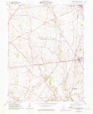
11 topographic sheets cover this place, the earliest surveyed in 1906 and the latest in 1986. It stands in Perry Township. It lies in ZIP code area 43145. The Survey maps it on the New Holland quadrangle. 804 people lived here at the 2020 count. It stands 853 feet above sea level.
Population over time
2 figuresNew Holland grew from 801 to 804 between 2010 and 2020. These are the recorded population figures Wikidata holds for this place, reached through the Geographic Names Information System number this page is keyed on rather than by name, so they belong to this place and not to another of the same name. Most are census counts, but not all are: an early figure may be a founding or settlement estimate. The change column is computed, and is left blank where more than 20 years separate a figure from the one before it, because a gap that long is not a change between two counts.
| Year | People | Change |
|---|---|---|
| 2010 | 801 | |
| 2020 | 804 | +3 (+0%) |
Then and now
1906 to 1986The same ground, surveyed 80 years apart. Drag the handle to wipe between them. Both sheets are United States Geological Survey originals; neither has been altered.

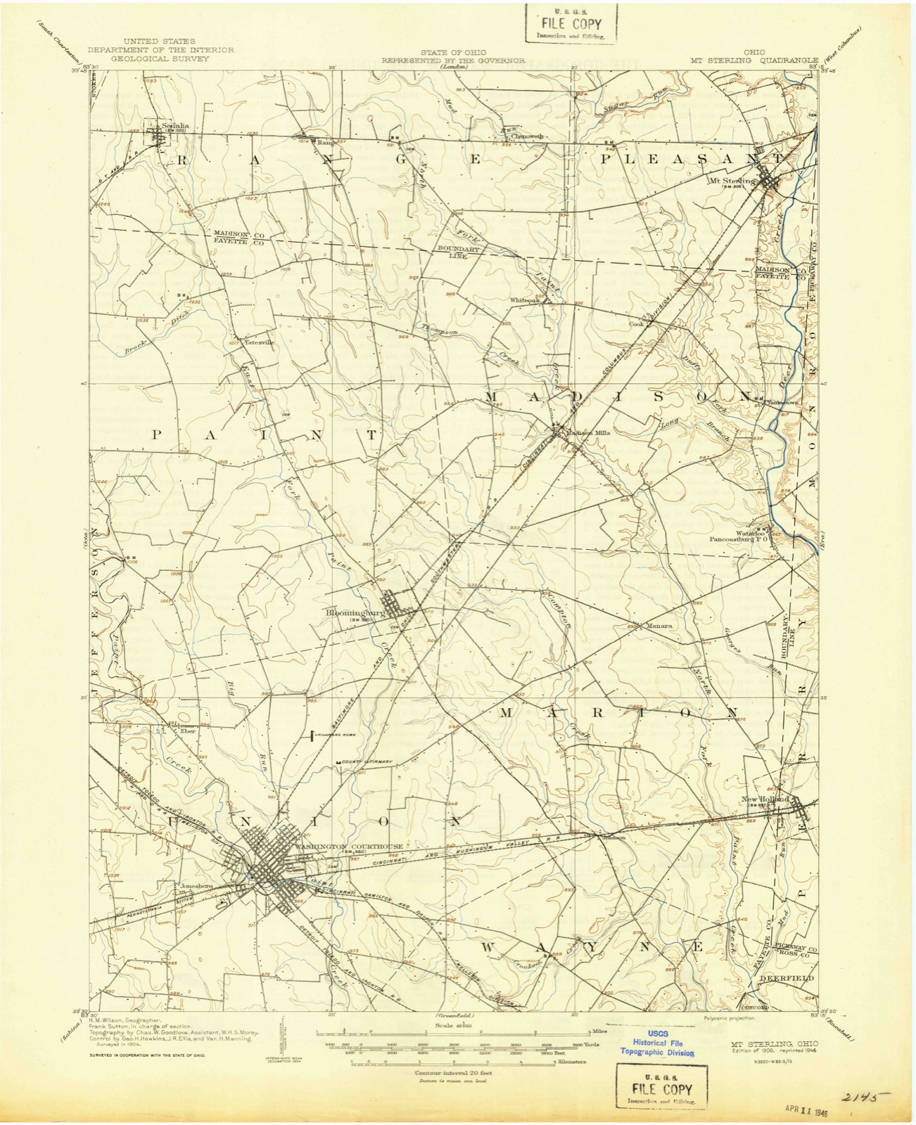
Topographic sheets covering this place
11 sheetsMatched by testing this settlement's coordinate against the published boundary of every sheet in the United States Geological Survey's historical collection. Each opens the scanned sheet at the Survey.
- 1906 USGS Mt Sterling quadrangle1:62500
- 1947 USGS Columbus quadrangle1:250000
- 1961 USGS Columbus quadrangle1:250000
- 1961 USGS New Holland quadrangle1:24000
- 1961 USGS New Holland quadrangle1:24000
- 1961 USGS New Holland quadrangle1:24000
- 1962 USGS Columbus quadrangle1:250000
- 1967 USGS Columbus quadrangle1:250000
- 1967 USGS Columbus quadrangle1:250000
- 1986 USGS Springfield quadrangle1:100000
- 1986 USGS Springfield quadrangle1:100000







Photographs
1 photograph,Taken for the Office of War Information and the Farm Security Administration, who photographed the country between 1935 and 1944. Works of United States government photographers, with no known restriction on use. Each opens its catalogue record.
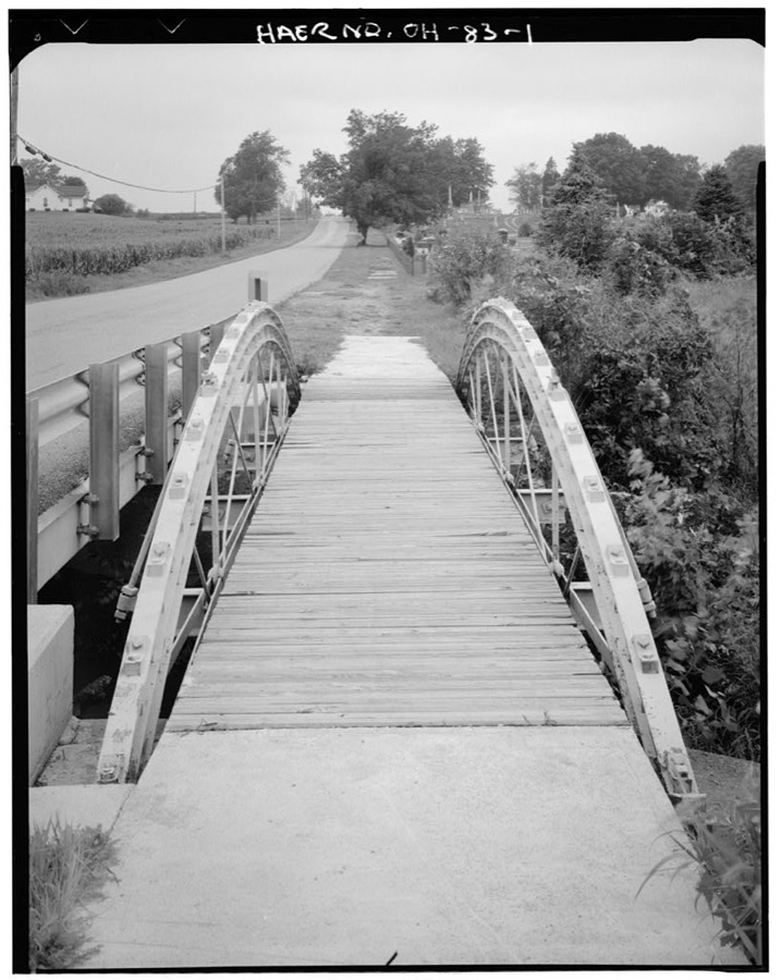
Unattributed, . Library of Congress
Specimens collected nearby
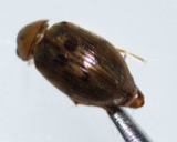
12 of 305 shownMuseums hold 305 specimens collected within 10 miles of New Holland between 1898 and 1975: 303 Animalia, 2 Plantae. 12 distinct Species records are shown. Collected by Cavender, T. M. (Ted M.), Moerchen, R. (Richard) & Class, D. Mote, E. Tittsler and others. Each is a physical object with a catalogue number, and each entry opens the museum's record. This is what was collected and kept, not a survey of what lives here - nothing can be concluded from a species being absent.
| Image | Species | Year | Collected by | Where, as recorded |
|---|---|---|---|---|
 | Berosus peregrinus (Herbst, 1797) | 1898 | Scott O'Dee | |
 | Stenelmis sexlineata Sanderson, 1938 | 1898 | Scott O'Dee | |
 | Davainea Blanchard, 1891 | 1912 | D. Mote | Williamsport |
| Heterakidae | 1912 | D. Mote | Williamsport | |
 | Hymenolepis Weinland, 1858 | 1912 | D. Mote | Williamsport |
 | Anisothecium varium (Hedw.) Mitt. | 1936 | F. Bartley | Deercreek Township |
 | Allocapnia vivipara (Claassen, 1924) | 1937 | T. H. Parks | Williamsport |
 | Ameiurus melas melas (Rafinesque, 1820) | 1947 | Trautman, M. B. (Milton Bernard) | Yellowbud Creek, within Deer Creek township, near Williamsport, Deercreek township |
 | Boleosoma nigrum (Rafinesque, 1820) | 1947 | Trautman, M. B. (Milton Bernard) | Yellowbud Creek, within Deer Creek township, near Williamsport, Deercreek township |
 | Campostoma anomalum anomalum | 1947 | Trautman, M. B. (Milton Bernard) | Yellowbud Creek, within Deer Creek township, near Williamsport, Deercreek township |
 | Ericymba buccata Cope, 1865 | 1947 | Trautman, M. B. (Milton Bernard) | Yellowbud Creek, within Deer Creek township, near Williamsport, Deercreek township |
 | Etheostoma blennioides blennioides Rafinesque, 1819 | 1947 | Trautman, M. B. (Milton Bernard) | Yellowbud Creek, within Deer Creek township, near Williamsport, Deercreek township |
All 305 specimens within 10 miles, at the Global Biodiversity Information Facility.
Storms nearby
11 since 1996The National Weather Service names New Holland in 11 storm reports between 1996 and 2025: 8 thunderstorm wind, 2 tornado, 1 hail. No death or injury is recorded in these reports. Each account below is quoted exactly as the forecast office filed it, from the NOAA Storm Events Database, and each date opens the federal record of that event.
| When | Event | Place named | Harm | What the report says |
|---|---|---|---|---|
| July 2021 | Tornado (EF0) | New Holland | $100,000 | Based on aerial footage and photos, the tornado appeared to have initially touched down in a field just northwest of Dick Road. It then crossed Dick Road and produced damage on a farm. Some roof damage was noted on a single story residence on Dick Road, while a large outbuilding was also destroyed. Aerial footage confirmed evidence of the tornado in the grass and field between Dick Road and Mouser Road. Debris from the outbuilding was also scattered throughout the field between Dick Road and Mouser Road. Additional damage occurred on a property on Mouser Road, where two barns were completely destroyed. The tornado is believed to have then lifted shortly after it destroyed the barns. While the tornado ended before reaching U.S. 22, debris from the destroyed Mouser Road barns was thrown about one quarter of a mile and was noted on the other side of U.S. 22.||Based on the evaluation of the damage, winds associated with this brief tornado were around 85 mph. |
| April 2011 | Tornado (EF1) | New Holland | $75,000 | Two barns were destroyed along with a grain bin due to the tornado. In addition, debris was driven into a building and debris spread for about a mile into a field. Another barn was destroyed along with an overturned trailer along the path. Metal roofing was pulled in different directions. A couple of trees and large tree limbs were also down due to the tornado. The estimated maximum wind speed based on damage was around 105 miles per hour. |
| April 2025 | Thunderstorm Wind | New Holland | $10,000 | Several large trees and power poles were downed along South Church Street. |
| February 2009 | Thunderstorm Wind | New Holland | $7,000 | Power poles were snapped, and one fell on a building. |
| August 2006 | Thunderstorm Wind | New Holland | $6,000 | A few large tree limbs were downed. Two gravestones were damaged in a cemetery in New Holland. |
| November 2005 | Thunderstorm Wind | New Holland | $3,000 | Large limbs were downed. |
| June 1996 | Thunderstorm Wind | New Holland | $3,000 | no account filed |
| March 2019 | Thunderstorm Wind | New Holland | $2,000 | A few trees were downed. |
| July 2008 | Thunderstorm Wind | New Holland | $2,000 | Two trees were downed on Egypt Pike and Plumer Road. |
| August 2010 | Thunderstorm Wind | New Holland | $1,000 | Trees were reported down due to damaging thunderstorm winds. |
| April 2018 | Hail | New Holland | - | no account filed |
Nearest settlements
The eight closest, with where each one stands in the county. Distances are straight-line, computed from the Geographic Names Information System coordinates.
| Map | Place | Distance | Sheets |
|---|---|---|---|
| Kozy Corners | 3.1 miles | 13 | |
| Atlanta | 3.6 miles | 13 | |
| Crownover Mill | 5.0 miles | 13 | |
| Grange Hall | 6.7 miles | 14 | |
| Williamsport | 7.6 miles | 12 | |
| Woodlyn | 7.6 miles | 12 | |
| Five Points | 9.3 miles | 14 | |
| Kinderhook | 10.1 miles | 12 |
Elsewhere
Matched on this settlement's Geographic Names Information System number rather than its name, so it cannot be a different place of the same name in another state.
| Wikipedia article on New Holland | An encyclopaedic summary. Its text is share-alike, so it is linked here rather than copied. |
| Wikidata item Q2436623 | The structured record the population and elevation above come from. Public domain (CC0). |
Provenance
This settlement is recorded in the Geographic Names Information System as feature 1070865. The sheet list is computed by point-in-boundary test against the United States Geological Survey's historical topographic inventory. Both are works of the United States government and carry no copyright under 17 U.S.C. 105.
Specimens. Global Biodiversity Information Facility (GBIF), https://www.gbif.org/. Only records licensed CC0 or CC BY are used. Records licensed CC BY-NC are excluded because this site carries advertising. Images are checked individually and any whose licence is non-commercial, no-derivatives or unreadable is refused.
Storms. NOAA National Centers for Environmental Information, Storm Events Database https://www.ncei.noaa.gov/stormevents/ A work of the United States government, no copyright under 17 U.S.C. 105. Narratives are quoted verbatim from the National Weather Service report and are not edited or summarised.