 Block
Block
New Westville, Ohio
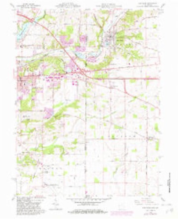
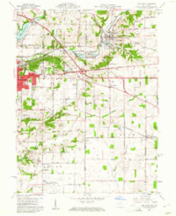
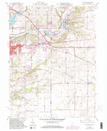
12 topographic sheets cover this place, the earliest surveyed in 1915 and the latest in 1986. It stands in Jackson Township. It lies in ZIP code area 45347. The Survey maps it on the New Paris quadrangle.
Then and now
1915 to 1986The same ground, surveyed 71 years apart. Drag the handle to wipe between them. Both sheets are United States Geological Survey originals; neither has been altered.

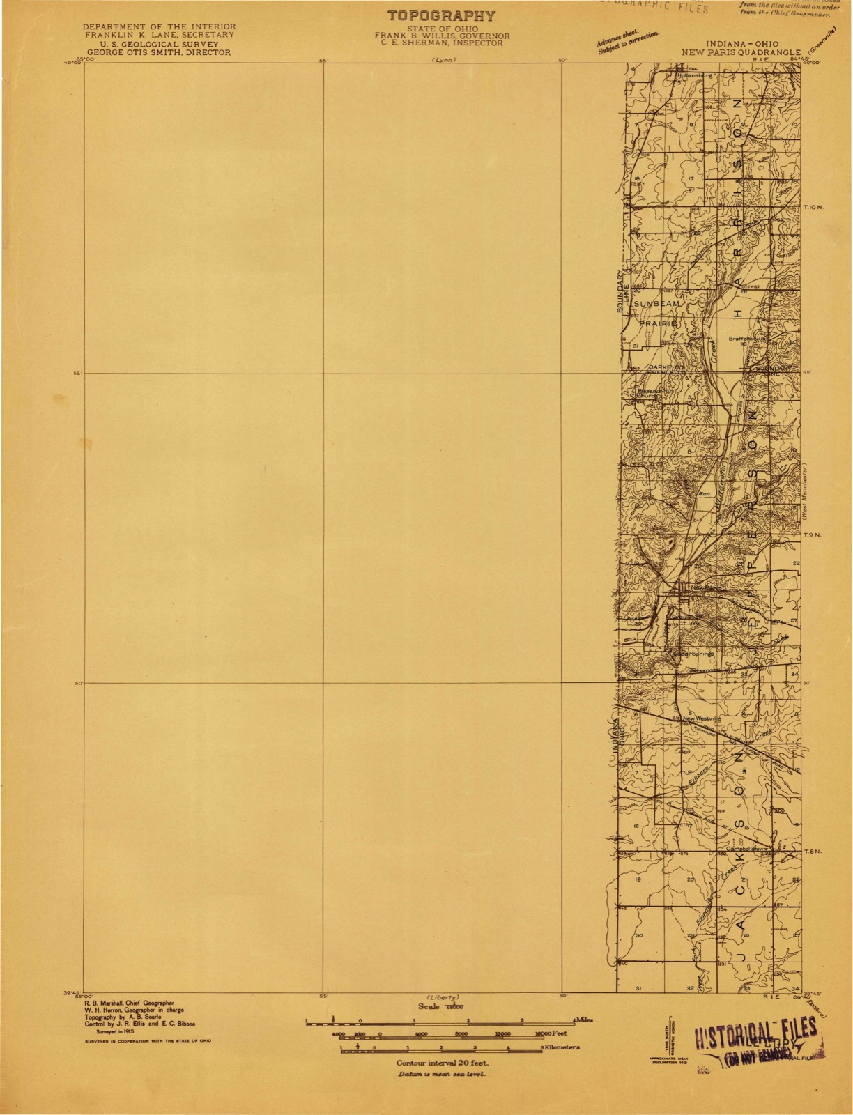
Compare 1915 against another survey:
Topographic sheets covering this place
12 sheetsMatched by testing this settlement's coordinate against the published boundary of every sheet in the United States Geological Survey's historical collection. Each opens the scanned sheet at the Survey.
- 1915 USGS New Paris quadrangle1:48000
- 1918 USGS New Paris quadrangle1:62500
- 1953 USGS Cincinnati quadrangle1:250000
- 1953 USGS Cincinnati quadrangle1:250000
- 1953 USGS Cincinnati quadrangle1:250000
- 1957 USGS Cincinnati quadrangle1:250000
- 1960 USGS New Paris quadrangle1:24000
- 1960 USGS New Paris quadrangle1:24000
- 1960 USGS New Paris quadrangle1:24000
- 1960 USGS New Paris quadrangle1:24000
- 1986 USGS Dayton quadrangle1:100000
- 1986 USGS Dayton quadrangle1:100000






What happened here
An account from the chapter on Jackson township, The inset identifies its exact source book and publication year.
Early Burial Places
The first graveyard in the township is in section nineteen, on the Indiana line, on the farm now occupied by Jacob Crowell. It was laid out by the pioneers of the- Elkhorn settlement. The first person buried there was a young man named Thomas Hollett, killed by a falling tree. Hereare buried John Bozworth, Michael Crowell, Elijah Wade, and others of the fisrt settlers.
In the county-history sources
75,976 words on this townshipHistory of Preble County Ohio, published 1881 names this settlement in its chapter on Jackson Township. These are the passages that mention it, exactly as the scans read.
David Morehead, born in Pennsylvania, in 1825, came to New Westville in 1851, at which place he has since resided. In 1857 he married Miss Nancy Kissinger, who was born in 1835. "Their children - Mary and John, are still living with them. Mr. Morehead has successfully carried on the huckster business since 1864, and has thus obtained the means to purchase eighty acres of land. "Though he does not keep a regular store, he supplies his neighbors with many of the necessities of life.
Passage source: History of Preble County Ohio, published 1881.
In the graveyard adjoining the New Westville Methodist Episcopal church were buried: First, Lucy Ann, wife of Henry W. Price, September 8, 1815, aged twentyfive; afterwards, Thomas J. McWhinney, September 11, 1846, aged thirty-six; Andrew Morrow, July 21, 1847, aged eighty; his wife, Rebecca; Dr. W. M. Jackson, August 21, 1849, aged thirty-seven; and others, whose graves are not marked.
Passage source: History of Preble County Ohio, published 1881.
Until the establishment of the post office of New Westville, June 4, 1840, the town was known as Westville, and letters were sent to McCowen's cross roads. July 16, 1816, the west half of section number five was surveyed, and a plat, containing sixty-four in-lots and eight out-lots, was acknowledged by Isaac'Stephens, J. P. The store was built by James McCowen. George
Passage source: History of Preble County Ohio, published 1881.
Machine-read from a century-old scan, so expect the errors a machine makes: misspelled names, dropped words, stray characters.
Read the whole chapter on Jackson Township - it names this place 6 more 6 times.
Specimens collected near this place
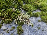
12 of 753 shownRegional context, not property-specific evidence. Museums hold 753 specimens collected within 10 miles of New Westville between 1876 and 1974: 728 Animalia, 13 Plantae, 12 Fungi. 12 distinct Species records are shown. Collected by A.R. Gaufin, H.H. Ross, Arden R. Gaufin, B. Fink and others. Each is a physical object with a catalogue number, and each entry opens the museum's record. This is what was collected and kept, not a survey of what lives here - nothing can be concluded from a species being absent.
| Image | Species | Year | Collected by | Where, as recorded |
|---|---|---|---|---|
 | Hedwigia ciliata (Hedw.) P.Beauv. | 1876 | not recorded | New Paris |
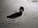 | Uria lomvia lomvia (Linnaeus, 1758) | 1896 | Stewart, R. T. (Robert T.) | Israel Twp, Fairhaven, Preble, Ohio, USA |
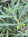 | Septoria oenotherae Westend. | 1901 | W. A. Kellerman | |
 | Porella platyphylla (L.) Pfeiff. | 1910 | Braun, Lucy E. | |
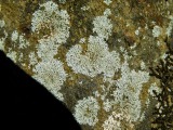 | Physcia subtilis Degelius | 1914 | B. Fink | Eaton |
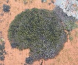 | Scoliciosporum umbrinum (Ach.) Arnold | 1914 | Fink, B. | Eaton |
 | Steccherinum pulcherrimum (Berk. & M.A.Curtis) Banker | 1925 | M.L. Lohman | Eaton |
 | Gymnosporangium juniperi-virginianae Schwein. | 1928 | Mendenhall E. W. | New Paris |
 | Campostoma anomalum anomalum | 1930 | MB Trautman | Whitewater River, at New Paris, Jefferson Twp |
 | Catostomus commersonnii commersonnii (Lacepède, 1803) | 1930 | MB Trautman | Whitewater River, at New Paris, Jefferson Twp |
| Ceuthophilus tenebrarum Scudder, 1894 | 1930 | Hubbell, T. H. | Eaton, Preble Co., OH | |
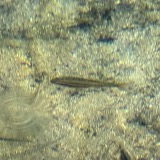 | Chrosomus erythrogaster (Rafinesque, 1820) | 1930 | Trautman, M. B. (Milton Bernard) & Foster, R. (Robert) | East Fork Whitewater River, at New Paris, ~0.4 mi NW of New Paris, Jefferson township |
All 753 specimens within 10 miles, at the Global Biodiversity Information Facility.
Mines and quarries near this place
2 within 5 milesRegional context, not property-specific evidence. The federal mineral resources record lists 2 workings within 5 miles of New Westville: 1 past producer, 1 producer. 1 still produces. What was taken out: Sand and Gravel, Construction, Stone, Crushed/Broken. Distance is straight-line from the map coordinates, so a quarry counted here may appear on a neighbouring settlement's page as well.
| Where | Site | Commodity | Status | Recorded |
|---|---|---|---|---|
| New Paris Pit | Sand and Gravel, Construction | Past Producer | ||
| Springfield Limestone Quarry #223 | Stone, Crushed/Broken | Producer |
Storms near this place
1 since 2019Regional context, not property-specific evidence. The National Weather Service names New Westville in 1 storm report between 2019 and 2019: 1 tornado. No death or injury is recorded in these reports. Each account below is quoted exactly as the forecast office filed it, from the NOAA Storm Events Database, and each date opens the federal record of that event.
| When | Event | Place named | Harm | What the report says |
|---|---|---|---|---|
| June 2019 | Tornado (EF0) | New Westville | $40,000 | The tornado first touched down on Weist Road, east of Route 227. Numerous trees up to one foot in diameter were knocked down. The most significant damage was to a large tree limb which was blown down and punctured the roof of a house. In addition, two large barn doors were blown in and a side barn door was ripped off and blown to the north-northwest about 20 yards. A few windows and sections of the barn were also damaged.||The tornado appears to have moved northeast across a field, then produced additional damage to trees at a residence on Wolverton Road, just south of Paddock Road. The tornado dissipated shortly afterwards. |
Nearest settlements
The eight closest, with where each one stands in the county. Distances are straight-line, computed from the Geographic Names Information System coordinates.
| Map | Place | Distance | Sheets |
|---|---|---|---|
| Cedar Springs | 1.1 miles | 12 | |
| Belfast (historical) | 1.2 miles | 12 | |
| New Paris | 2.4 miles | 12 | |
| Orangeburg (historical) | 2.7 miles | 8 | |
| Campbellstown | 2.9 miles | 12 | |
| Gettysburg | 4.0 miles | 8 | |
| New Hope | 4.7 miles | 8 | |
| Ebenezer | 5.2 miles | 8 |
Elsewhere
Matched on this settlement's Geographic Names Information System number rather than its name, so it cannot be a different place of the same name in another state.
| Wikipedia article on New Westville | An encyclopaedic summary. Its text is share-alike, so it is linked here rather than copied. |
| Wikidata item Q22134048 | The structured record the population and elevation above come from. Public domain (CC0). |
Provenance
This settlement is recorded in the Geographic Names Information System as feature 1065142. The sheet list is computed by point-in-boundary test against the United States Geological Survey's historical topographic inventory. Both are works of the United States government and carry no copyright under 17 U.S.C. 105.
Specimens. Global Biodiversity Information Facility (GBIF), https://www.gbif.org/. Only records licensed CC0 or CC BY are used. Records licensed CC BY-NC are excluded because this site carries advertising. Images are checked individually and any whose licence is non-commercial, no-derivatives or unreadable is refused.
Mines and quarries. USGS Mineral Resources Data System (MRDS) https://mrdata.usgs.gov/mrds/ A work of the United States government, no copyright under 17 U.S.C. 105.
Storms. NOAA National Centers for Environmental Information, Storm Events Database https://www.ncei.noaa.gov/stormevents/ A work of the United States government, no copyright under 17 U.S.C. 105. Narratives are quoted verbatim from the National Weather Service report and are not edited or summarised.