 Block
Block
Newkirk, Ohio
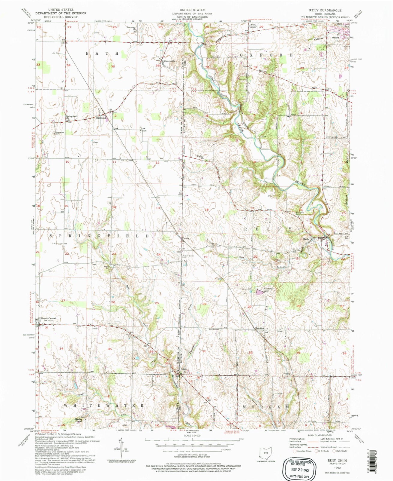
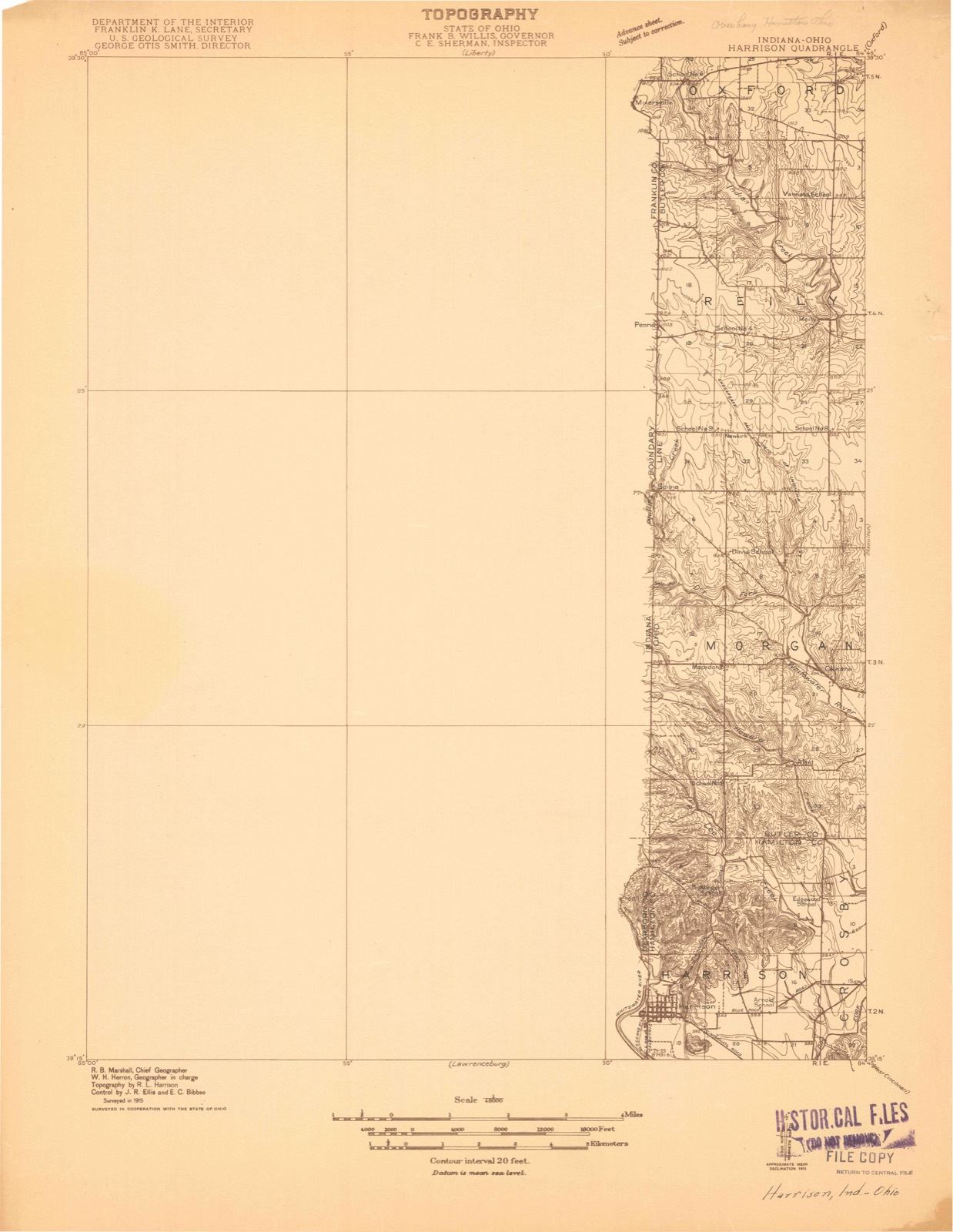
12 topographic sheets cover this place, the earliest surveyed in 1915 and the latest in 1992. It stands in Reily Township. It lies in ZIP code area 45056. The Survey maps it on the Reily quadrangle.
Then and now
1915 to 1992The same ground, surveyed 77 years apart. Drag the handle to wipe between them. Both sheets are United States Geological Survey originals; neither has been altered.
Compare 1915 against another survey:
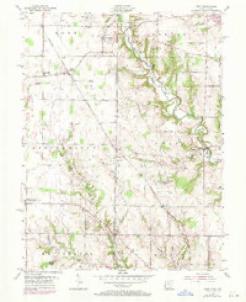
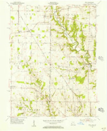
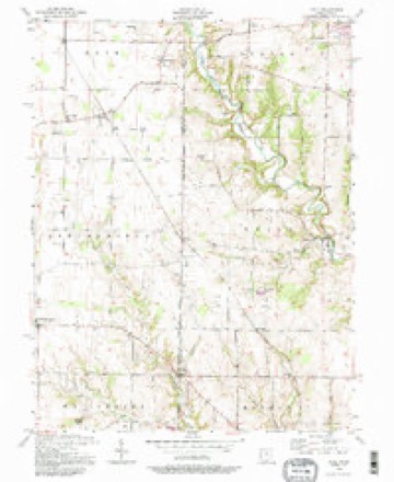
Topographic sheets covering this place
12 sheetsMatched by testing this settlement's coordinate against the published boundary of every sheet in the United States Geological Survey's historical collection. Each opens the scanned sheet at the Survey.
- 1915 USGS Harrison quadrangle1:48000
- 1953 USGS Cincinnati quadrangle1:250000
- 1953 USGS Cincinnati quadrangle1:250000
- 1953 USGS Cincinnati quadrangle1:250000
- 1955 USGS Reily quadrangle1:24000
- 1955 USGS Reily quadrangle1:24000
- 1955 USGS Reily quadrangle1:24000
- 1957 USGS Cincinnati quadrangle1:250000
- 1986 USGS Cincinnati quadrangle1:100000
- 1986 USGS Cincinnati quadrangle1:100000
- 1986 USGS Cincinnati quadrangle1:100000
- 1992 USGS Reily quadrangle1:24000







In the county-history sources
14,974 words on this townshipA History and Biographical Cyclopædia of Butler County, Ohio : with Illustrations and Sketches of Its Representative Men and Pioneers, published 1882 names this settlement in its chapter on Reily Township. These are the passages that mention it, exactly as the scans read.
The Bunker Hill Universalist Church was organized 'in- 1845 or 1846, with Elias Sayres, J. C. Welliver, Hiram and David Pearson, Samuel Garner, Sr., and brother William, John Creagmiles, Noah Sayers, George Garner, and several of the Rosses, for its first members. The land on which the church stands, as well as where the graveyard is, was owned by Alexander Deneen. The house was erected in 1857 by Elijah Ross, contractor. Before the church was built, meetings were held in a frame school-house, built in 1852, on the south side of the road, at the foot of the hill near the creek, at the junction of the St. Charles and Millville Roads. Among the preachers were the Revs. Messrs. Bruce, Wm. Curry, B. B. Bennett, who also supplied the Oxford Church ; William Brooks, of New York; W. Emmett, Mr. Biddle, who came from Dayton, Ohio; E. K. Brush, Mr. Grandy, Mr. Tucker, and others. The present minister is the Rey. J. P. McLean, of Hamilton.
Passage source: A History and Biographical Cyclopædia of Butler County, Ohio : with Illustrations and Sketches of Its Representative Men and Pioneers, published 1882.
Machine-read from a century-old scan, so expect the errors a machine makes: misspelled names, dropped words, stray characters.
Specimens collected near this place
12 of 1,680 shownRegional context, not property-specific evidence. Museums hold 1,680 specimens collected within 10 miles of Newkirk between 1888 and 1975: 751 Fungi, 738 Animalia, 120 Plantae, 57 Protozoa, 13 Unrecorded, 1 Chromista. 12 distinct Species records are shown. Collected by A. R. Gaufin, A. V. J.; W. G. S., A.R. Gaufin, H.H. Ross and others. Each is a physical object with a catalogue number, and each entry opens the museum's record. This is what was collected and kept, not a survey of what lives here - nothing can be concluded from a species being absent.
| Image | Species | Year | Collected by | Where, as recorded |
|---|---|---|---|---|
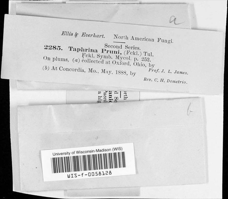 | Taphrina communis (Sadeb.) Giesenh. | 1888 | J. L. James | |
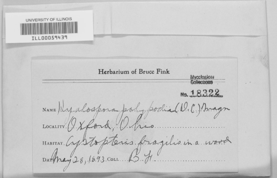 | unnamed | 1893 | B. Fink | Oxford. |
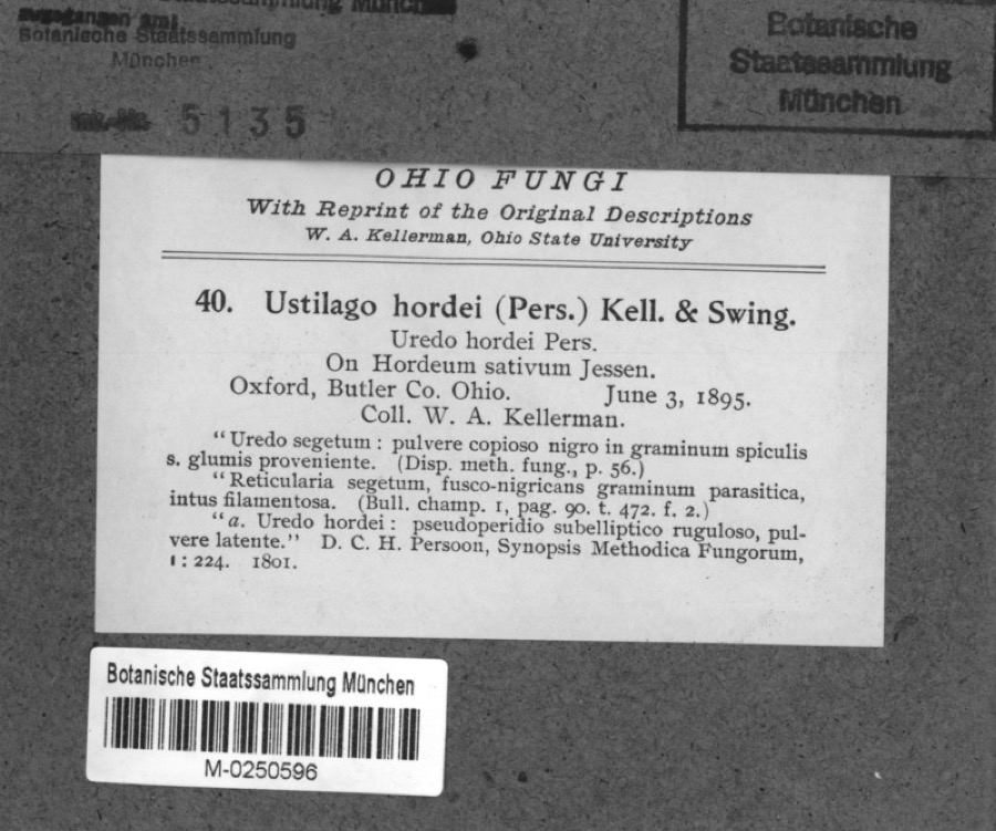 | Hordeum sativum Pers. | 1895 | Kellerman, W.A. | Oxford, Butler Co. Ohio. |
 | Taphrina pruni (Fuckel) Tul. | 1888 | J. L. James | Oxford. |
 | Xylaria polymorpha (Pers.) Grev. | 1888 | James J. F. | Oxford |
 | Erysiphe euphorbiae J.R.Reddy & A.P.Reddy | 1889 | L. O. O. | Oxford |
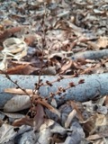 | Epifagus virginiana (L.) Barton | 1890 | E. E. Bogue | Oxford. |
 | Botaurus Stephens, 1819 | 1891 | J. S. Ligon | Ross Lake |
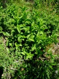 | Mentha spicata L. | 1894 | E. L. Moseley | Oxford |
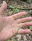 | Agrostis perennans (Walter) Tuck. | 1895 | Collector(s): Edwin Lincoln Moseley | Oxford |
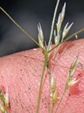 | Agrostis scabra Willd. | 1895 | Collector(s): Edwin Lincoln Moseley | Oxford |
| Gratiola virginiana L. | 1895 | Collector(s): Edwin Lincoln Moseley | Oxford |
All 1,680 specimens within 10 miles, at the Global Biodiversity Information Facility.
Storms near this place
6 since 2017Regional context, not property-specific evidence. The National Weather Service names Newkirk in 6 storm reports between 2017 and 2025: 3 hail, 2 tornado, 1 flood. No death or injury is recorded in these reports. Each account below is quoted exactly as the forecast office filed it, from the NOAA Storm Events Database, and each date opens the federal record of that event.
| When | Event | Place named | Harm | What the report says |
|---|---|---|---|---|
| April 2025 | Tornado (EF0) | Newkirk | $100,000 | This tornado developed near Sharptown in Franklin County, Indiana, at 2323EST. It traveled northeast and entered Butler County, Ohio, at 2326EST, just east of Scipio. As it moved northeast through Butler County, tree damage and minor home damage were observed along Hart Road. Homes, outbuildings, and numerous trees were damaged along Dunwoody Road. Additional outbuildings and trees were damaged on Sample Road south of Reily, Ohio. Power poles were also snapped in this area. The northeast track continued into the Pater Wildlife Area, snapping numerous trees and additional trees were damaged along Bunker Hill Woods Road and Stillwell Road. The tornado likely dissipated south of McGonigle, Ohio, near Millville Oxford Road. |
| May 2024 | Tornado (EF0) | Newkirk | $5,000 | The tornado started in Franklin County, Indiana, at 1956EST, just to the east of Brookville Lake. The tornado moved east and entered Butler County Ohio, at 2008EST, about 5 miles south-southwest of Oxford. The tornado quickly weakened and ended just east of State-Line Road, near Springfield Road, where it caused some minor tree damage. |
| September 2022 | Flood | Newkirk | - | High water was reported at the intersection of State Routes 129 and 732. |
| February 2017 | Hail | Newkirk | - | Dime size hail and hail of smaller size accumulated to a depth of an inch. |
| February 2023 | Hail | Newkirk | - | no account filed |
| February 2023 | Hail | Newkirk | - | no account filed |
Nearest settlements
The eight closest, with where each one stands in the county. Distances are straight-line, computed from the Geographic Names Information System coordinates.
| Map | Place | Distance | Sheets |
|---|---|---|---|
| Reily | 2.4 miles | 12 | |
| Saint Charles | 2.6 miles | 14 | |
| Bunker Hill | 3.5 miles | 14 | |
| Macedonia | 4.0 miles | 15 | |
| Okeana | 4.1 miles | 15 | |
| Auburn | 4.6 miles | 14 | |
| Ogleton (historical) | 5.2 miles | 14 | |
| Alert | 5.6 miles | 15 |
Provenance
This settlement is recorded in the Geographic Names Information System as feature 1062919. The sheet list is computed by point-in-boundary test against the United States Geological Survey's historical topographic inventory. Both are works of the United States government and carry no copyright under 17 U.S.C. 105.
Specimens. Global Biodiversity Information Facility (GBIF), https://www.gbif.org/. Only records licensed CC0 or CC BY are used. Records licensed CC BY-NC are excluded because this site carries advertising. Images are checked individually and any whose licence is non-commercial, no-derivatives or unreadable is refused.
Storms. NOAA National Centers for Environmental Information, Storm Events Database https://www.ncei.noaa.gov/stormevents/ A work of the United States government, no copyright under 17 U.S.C. 105. Narratives are quoted verbatim from the National Weather Service report and are not edited or summarised.