 Block
Block
Reily, Ohio
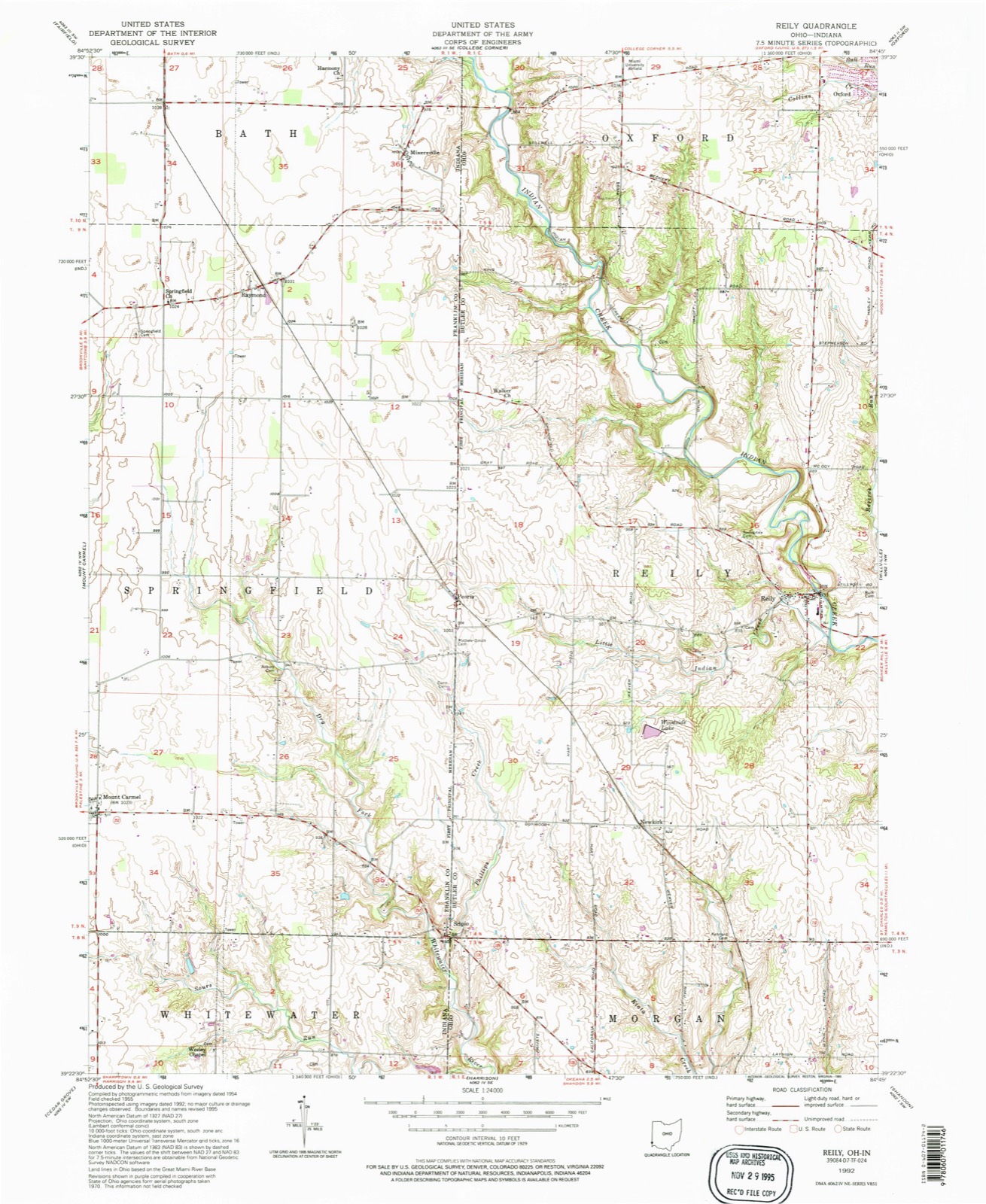
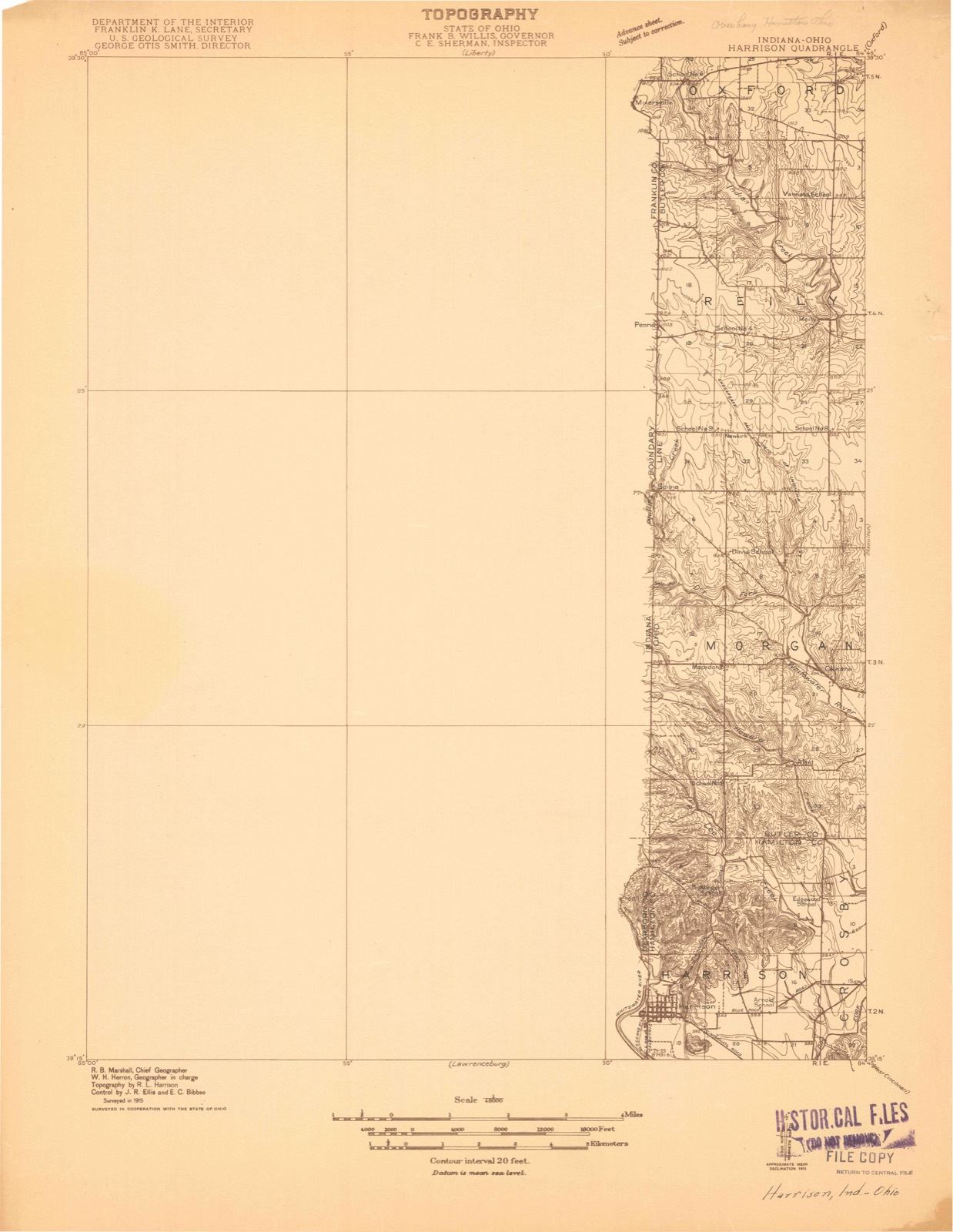
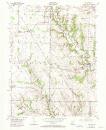
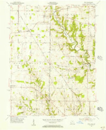
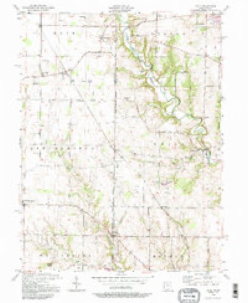
12 topographic sheets cover this place, the earliest surveyed in 1915 and the latest in 1992. It stands in Reily Township. It lies in ZIP code area 45056. It stands on Little Indian Creek. The Survey maps it on the Reily quadrangle.
Then and now
1915 to 1992The same ground, surveyed 77 years apart. Drag the handle to wipe between them. Both sheets are United States Geological Survey originals; neither has been altered.
Compare 1915 against another survey:
Topographic sheets covering this place
12 sheetsMatched by testing this settlement's coordinate against the published boundary of every sheet in the United States Geological Survey's historical collection. Each opens the scanned sheet at the Survey.
- 1915 USGS Harrison quadrangle1:48000
- 1953 USGS Cincinnati quadrangle1:250000
- 1953 USGS Cincinnati quadrangle1:250000
- 1953 USGS Cincinnati quadrangle1:250000
- 1955 USGS Reily quadrangle1:24000
- 1955 USGS Reily quadrangle1:24000
- 1955 USGS Reily quadrangle1:24000
- 1957 USGS Cincinnati quadrangle1:250000
- 1986 USGS Cincinnati quadrangle1:100000
- 1986 USGS Cincinnati quadrangle1:100000
- 1986 USGS Cincinnati quadrangle1:100000
- 1992 USGS Reily quadrangle1:24000







In the county-history sources
14,974 words on this townshipA History and Biographical Cyclopaedia of Butler County, Ohio, with Illustrations and Sketches of Its Representative Men and Pioneers, published 1882; A History and Biographical Cyclopædia of Butler County, Ohio : with Illustrations and Sketches of Its Representative Men and Pioneers, published 1882 names this settlement in its chapter on Reily Township. These are the passages that mention it, exactly as the scans read.
December 7, 1807, on the meeting of James Blackbum, Matthew Richardson, and James Smith, commissioners, on a petition of some of the inhabitants of St. Clair Township, it was "ordered, December 8, 1807, that so much of the township of St. Clair as lies within the following boundaries, to wit : Beginning on the western boundary line of the county at the southwest corner of the fourth township in the iirst range; thence east with the township line to the southeast corner of the section numbered 32 of the fourth township in tiic second range; thence north with the sectional line to the north boundary line of the said fourth township in the said second range ; thence west with the township line to the western boundary line of the county aforesaid ; thence j south with the same to the place of beginning, - shall ! compose a township which shall be called and known by j the name of Reily Township." Election to he held at i the house of Henry Burget on the 2d day of January, j 1808, for electing township officers.
Passage source: A History and Biographical Cyclopaedia of Butler County, Ohio, with Illustrations and Sketches of Its Representative Men and Pioneers, published 1882.
The justices of the peace have been Ithamar White and William Mitchell in 1808; Ithamar White and John Burke in 1811; the same in 1813 and 1814; Daniel Trimbly in 1816; John Burke in 1817; Daniel Trimbly in 1819; John Burke from 1820-23; Daniel Trimbly again in 1824-25; John Burke in 1826; Daniel Allhands in 1828; John Burke in 1829; in 1831, Daniel Allhands; John Clark and John Johnson in 1832; in 1833, Samuel Port; in 1834, Amos Larison, and in 1835, Jacob Miller and David Lindley; in 1836, Isaac Clark; in 1888, Amos Larison and Jacob Miller; in 1839, Isaac Clark; Amos Larison in 1841, also Samuel Trimbly; 1842, Elias H. Gaston; in 1844, Alexander Ogle and W. P. Deneen; and in succeeding years, James B. Trimbly, Silas C. Stewart, Thomas W. Lawrence, P. J. B. Welliver, Thomas Smith, Joseph W. Frazee, William L. Lane, John W. Owens, G. W. Welliver, L. D. Hancock, L. C. Addison, and Alonzo Urmston. ~~. In 1844 there were nine school districts in the township and $1,206 annually collected for school purposes. The population in 1820 was fourteen hundred and fiftyone; in 1830, eighteen hundred and thirty-two; in 1840, seventeen hundred and fifty-eight. Reily post-office was the only one in the township in 1844.
Passage source: A History and Biographical Cyclopædia of Butler County, Ohio : with Illustrations and Sketches of Its Representative Men and Pioneers, published 1882.
Indian Creek passes through Reily Township from north-west to south-east. Its principal tributaries are Little Indian, which flows from the west, taking its rise in the neighborhood of Peoria. Chase's Run flows from the north, and takes its name from Valentine Chase, a pioneer in this part of the township. Mr. Chase entered the south-east quarter of Section 5, the same quarter on which the Indian Creek Baptist Church stands. Further east is Boone's Run, also am affluent of Indian Creek. This creek took its name from a distant relative of Daniel Boone, who settled in this region far back in the 20's. Reserve Run flows from the north through Sections 5'and 6, emptying into Indian Creek one-quarter of a mile below Reily. Indian Creek has a bottom some three-quarters of a mile in width, which is very fertile. These bottoms are very fine lands for raising corn. It was along this stream and its tributaries, in the opening of Indian Creek Valley to agriculture, that such fine crops were raised. The other streams named have no bottoms of any size. In the south-west corner of the township the lands are avell adapted to agricultural purposes. The soil is a dark, rather heavy loam, inclined to be wet. When drained it produces the best of crops. The north-east corner is broken somewhat, and not so well adapted to farming; the soil is clayish generally? In the vicinity of Ogleton and Woods' Stations the surface is flat, and the soil a dark loam, naturally wet. All kinds of timber abounded here when the first settlements were made. There has been a very great quantity of good timber destroyed, but there is still standing a sufficient forest for many years. This township, like Morgan and Hanover, was plentifully supplied with pea vines along the creek bottoms in early times. The undergrowth was mainly spice bushes. Many hooppoles were cut from the forests when still-houses were running their best. Flour barrels, as well as whisky barrels, commanded a good price in those days, and it is said ''a cooper-shop was kept going on every section."
Passage source: A History and Biographical Cyclopædia of Butler County, Ohio : with Illustrations and Sketches of Its Representative Men and Pioneers, published 1882.
Machine-read from a century-old scan, so expect the errors a machine makes: misspelled names, dropped words, stray characters.
Read the whole chapter on Reily Township - it names this place 40 more 40 times.
Specimens collected near this place
12 of 1,871 shownRegional context, not property-specific evidence. Museums hold 1,871 specimens collected within 10 miles of Reily between 1879 and 1975: 836 Animalia, 771 Fungi, 194 Plantae, 56 Protozoa, 13 Unrecorded, 1 Chromista. 12 distinct Species records are shown. Collected by ?, A. R. Gaufin, A. V. J.; W. G. S. and others. Each is a physical object with a catalogue number, and each entry opens the museum's record. This is what was collected and kept, not a survey of what lives here - nothing can be concluded from a species being absent.
| Image | Species | Year | Collected by | Where, as recorded |
|---|---|---|---|---|
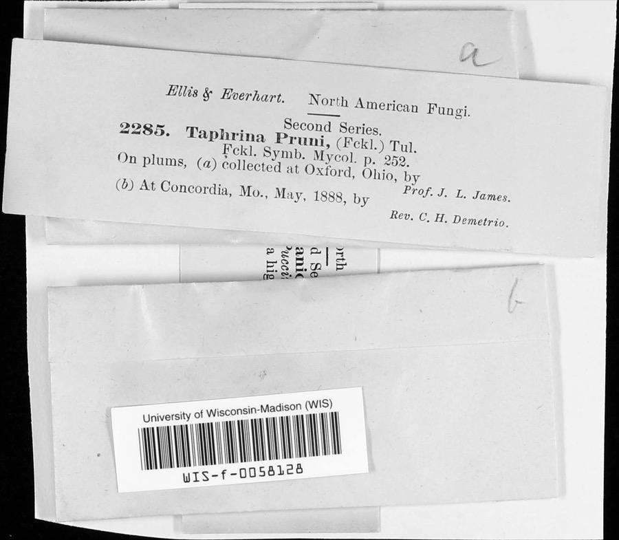 | Taphrina communis (Sadeb.) Giesenh. | 1888 | J. L. James | |
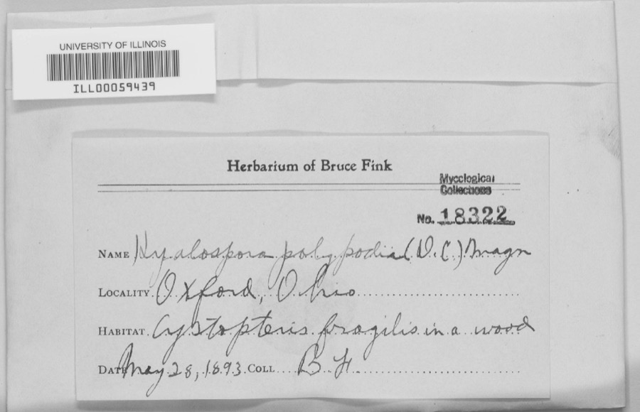 | unnamed | 1893 | B. Fink | Oxford. |
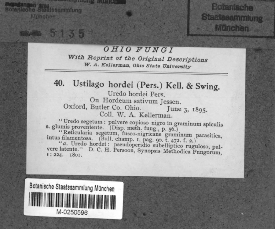 | Hordeum sativum Pers. | 1895 | Kellerman, W.A. | Oxford, Butler Co. Ohio. |
 | Spiza americana (J.F.Gmelin, 1789) | 1879 | Porter, J.B. | |
 | Tringa solitaria A.Wilson, 1813 | 1879 | Porter collection, J.B. | |
 | Charadrius semipalmatus Bonaparte, 1825 | 1880 | not recorded | |
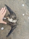 | Chlidonias niger (Linnaeus, 1758) | 1880 | Porter collection, J.B. | |
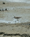 | Tringa melanoleuca (J.F.Gmelin, 1789) | 1880 | Porter collection, J.B. | |
 | Gavia immer (Brunnich, 1764) | 1881 | Porter, J.B. | |
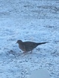 | Zenaida macroura (Linnaeus, 1758) | 1881 | Porter collection, J.B. | |
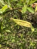 | Taphrina pruni (Fuckel) Tul. | 1888 | J. L. James | Oxford. |
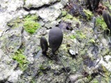 | Xylaria polymorpha (Pers.) Grev. | 1888 | James J. F. | Oxford |
All 1,871 specimens within 10 miles, at the Global Biodiversity Information Facility.
Storms near this place
5 since 2011Regional context, not property-specific evidence. The National Weather Service names Reily in 5 storm reports between 2011 and 2016: 3 hail, 1 flood, 1 flash flood. No death or injury is recorded in these reports. Each account below is quoted exactly as the forecast office filed it, from the NOAA Storm Events Database, and each date opens the federal record of that event.
| When | Event | Place named | Harm | What the report says |
|---|---|---|---|---|
| December 2011 | Flood | Reily | $1,000 | Indian creek was reported to be out of its banks due to heavy rainfall. This was causing flooding in low lying areas. |
| September 2016 | Flash Flood | Reily | - | Water was surrounding homes along Sample Road. |
| July 2013 | Hail | Reily | - | no account filed |
| July 2013 | Hail | Reily | - | no account filed |
| March 2012 | Hail | Reily | - | no account filed |
Nearest settlements
The eight closest, with where each one stands in the county. Distances are straight-line, computed from the Geographic Names Information System coordinates.
| Map | Place | Distance | Sheets |
|---|---|---|---|
| Bunker Hill | 2.3 miles | 14 | |
| Newkirk | 2.4 miles | 12 | |
| Ogleton (historical) | 2.9 miles | 14 | |
| Saint Charles | 3.1 miles | 14 | |
| McGonigle | 4.2 miles | 14 | |
| Auburn | 4.3 miles | 14 | |
| Oxford | 5.1 miles | 11 | |
| Okeana | 5.9 miles | 15 |
Elsewhere
Matched on this settlement's Geographic Names Information System number rather than its name, so it cannot be a different place of the same name in another state.
| Wikidata item Q21551651 | The structured record the population and elevation above come from. Public domain (CC0). |
Provenance
This settlement is recorded in the Geographic Names Information System as feature 1061182. The sheet list is computed by point-in-boundary test against the United States Geological Survey's historical topographic inventory. Both are works of the United States government and carry no copyright under 17 U.S.C. 105.
Specimens. Global Biodiversity Information Facility (GBIF), https://www.gbif.org/. Only records licensed CC0 or CC BY are used. Records licensed CC BY-NC are excluded because this site carries advertising. Images are checked individually and any whose licence is non-commercial, no-derivatives or unreadable is refused.
Storms. NOAA National Centers for Environmental Information, Storm Events Database https://www.ncei.noaa.gov/stormevents/ A work of the United States government, no copyright under 17 U.S.C. 105. Narratives are quoted verbatim from the National Weather Service report and are not edited or summarised.