 Block
North Jacksonville, Ohio
13 topographic sheets cover this place, the earliest surveyed in 1911 and the latest in 1986. It stands in Wayne Township. It lies in ZIP code area 45380. It stands on Indian Creek. The Survey maps it on the Versailles quadrangle.
Then and now
1911 to 1986The same ground, surveyed 75 years apart. Drag the handle to wipe between them. Both sheets are United States Geological Survey originals; neither has been altered.
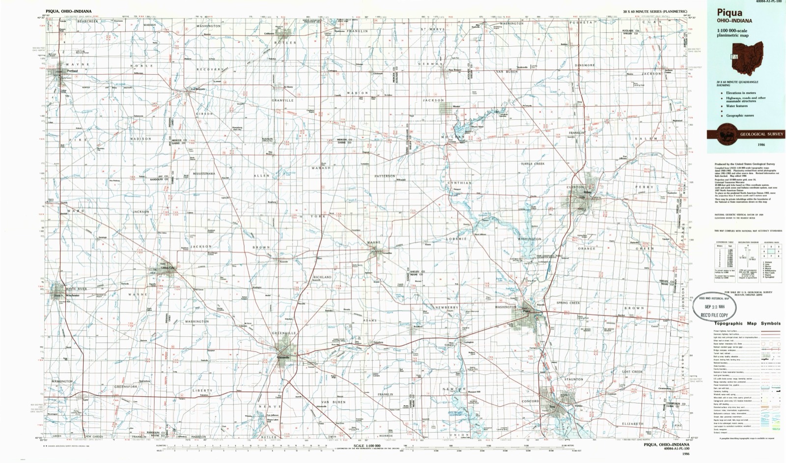
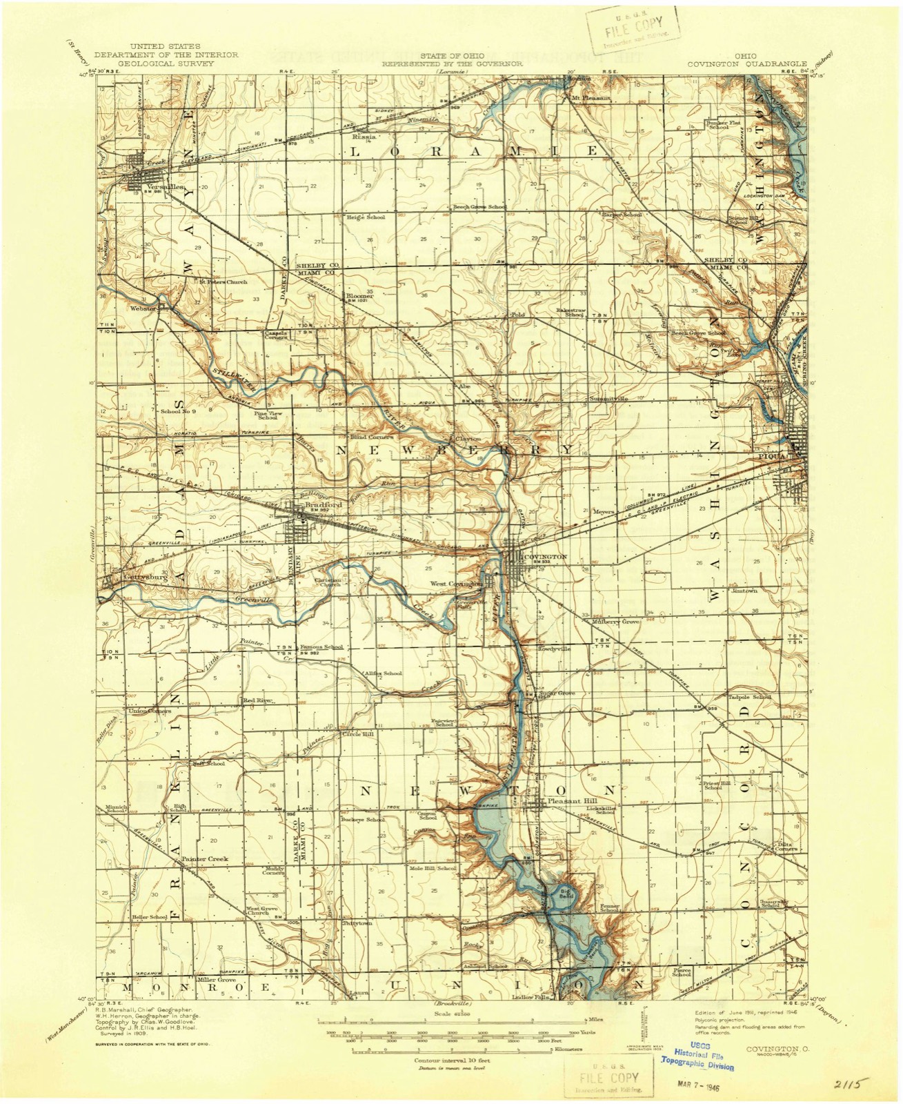
Compare 1911 against another survey:
On record in North Jacksonville
Buildings and businesses the archive holds for this place. Each opens its own page, with the source record it came from.
On the National Register within a mile 1 record
The National Register names another town for these. They stand within one mile of this settlement's coordinate.
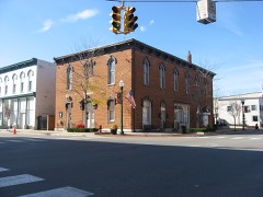 Versailles Town Hall and Wayne Township Houselisted 1981 · 0.4 miles away
Topographic sheets covering this place
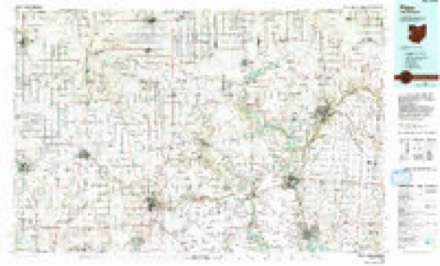
6 surveys from 13 printed sheetsMatched by testing this settlement's coordinate against the published boundary of every sheet in the United States Geological Survey's historical collection. Each opens the scanned sheet at the Survey.
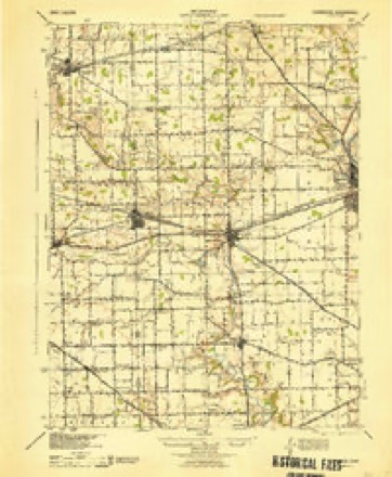
- 1911 USGS Covington quadrangle1:62500
- 1944 USGS Covington quadrangle1:62500
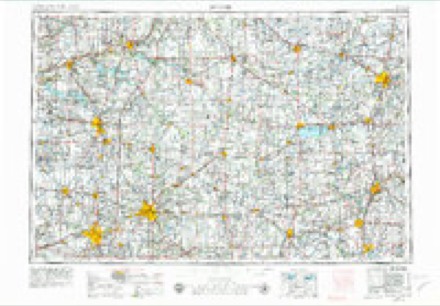
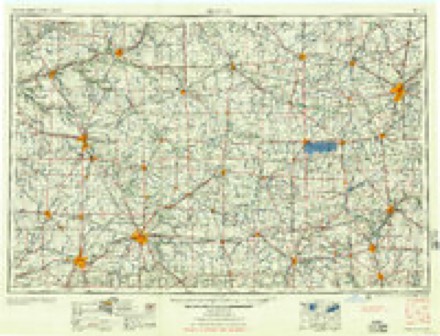
- 1953 USGS Muncie quadrangle1:250000, 5 printings
- 1956 USGS Muncie quadrangle1:250000
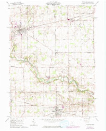
- 1961 USGS Versailles quadrangle1:24000, 2 printings
- 1986 USGS Piqua quadrangle1:100000, 3 printings
In the county-history sources
17,405 words on this townshipThe History of Darke County, Ohio, Containing a History of the County; Its Cities, Towns, Etc.; General and Local Statistics; Portraits of Early Settlers and Prominent Men;, published 1880 has no passage naming this settlement, which was common for smaller places. Its township is covered in full.
The chapter on Wayne Township covers the township.
Read the chapter on Wayne Township - 17,405 words.
Specimens collected near this place
12 of 195 shownRegional context, not property-specific evidence. Museums hold 195 specimens collected within 10 miles of North Jacksonville between 1911 and 1975: 184 Animalia, 10 Fungi, 1 Plantae. 12 distinct Species records are shown. Collected by Albrecht, C., Albrecht, C., Valentine, B. (Barry) & Valentine, B. (Buena), Andrew R. Moldenke and others. Each is a physical object with a catalogue number, and each entry opens the museum's record. This is what was collected and kept, not a survey of what lives here - nothing can be concluded from a species being absent.
| Image | Species | Year | Collected by | Where, as recorded |
|---|---|---|---|---|
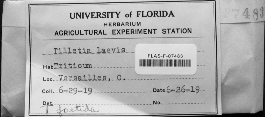 | Tilletia laevis J.G.Kühn | 1919 | not recorded | Versailles |
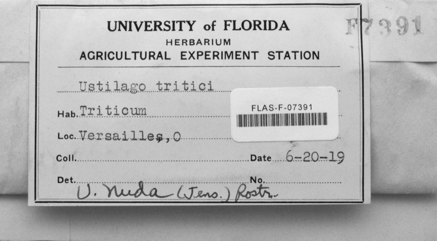 | Ustilago nuda (C.N.Jensen) Kellerm. & Swingle | 1919 | s.n. | Versailles |
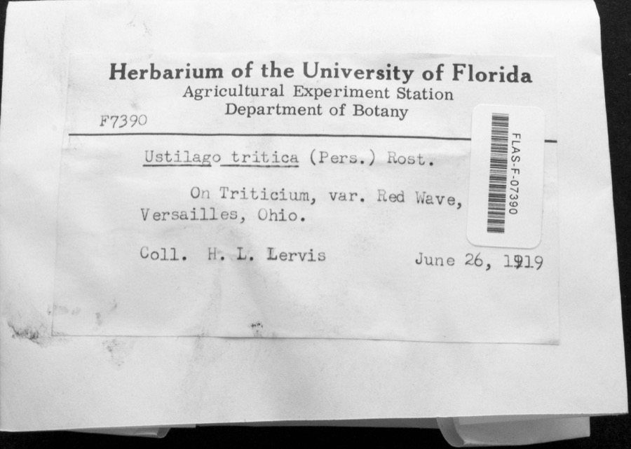 | Ustilago tritici (Bjerk.) Rostr. | 1919 | H.L. Lewis | Versailles |
 | Fomes lobatus Cooke | 1911 | Overholts L. O. | Gettysburg |
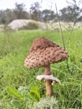 | Macrolepiota procera (Scop.) Singer | 1911 | Overholts | Gettysburg |
 | Polyporus zonalis Berk. | 1911 | Overholts L. O. | Gettysburg |
 | Poria undata (Pers.) Quél. | 1911 | Overholts L. O. | Gettysburg |
 | Butorides virescens virescens (Linnaeus, 1758) | 1915 | Householder, V. | Ausonia, 1 mi E |
 | Dolichonyx oryzivorus (Linnaeus, 1758) | 1915 | Householder, V. | 1 mi. E Ausonia |
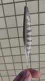 | Falco sparverius sparverius Linnaeus, 1758 | 1915 | Householder, V. | Ansonia, 1 mi E |
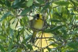 | Geothlypis trichas (Linnaeus, 1766) | 1915 | Householder, V. | Ausonia, 1 mi. E |
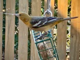 | Icterus galbula (Linnaeus, 1758) | 1915 | Householder, V. | 1 mi. E Ausoria |
All 195 specimens within 10 miles, at the Global Biodiversity Information Facility.
Nearest settlements
The eight closest, with where each one stands in the county. Distances are straight-line, computed from the Geographic Names Information System coordinates.
| Map | Place | Distance | Sheets |
|---|---|---|---|
| Versailles | 0.3 miles | 13 | |
| Needmore | 2.3 miles | 12 | |
| Frenchtown | 2.4 miles | 12 | |
| Webster | 2.8 miles | 13 | |
| Brock | 4.7 miles | 12 | |
| Dawn | 5.0 miles | 12 | |
| Strakers (historical) | 5.5 miles | 15 | |
| Willowdell | 5.7 miles | 15 |
Provenance
This settlement is recorded in the Geographic Names Information System as feature 1067526. The sheet list is computed by point-in-boundary test against the United States Geological Survey's historical topographic inventory. Both are works of the United States government and carry no copyright under 17 U.S.C. 105.
Specimens. Global Biodiversity Information Facility (GBIF), https://www.gbif.org/. Only records licensed CC0 or CC BY are used. Records licensed CC BY-NC are excluded because this site carries advertising. Images are checked individually and any whose licence is non-commercial, no-derivatives or unreadable is refused.