 Block
Block
Frenchtown, Ohio
12 topographic sheets cover this place, the earliest surveyed in 1953 and the latest in 1986. It stands in Wayne Township. It lies in ZIP code area 45380. The Survey maps it on the Dawn quadrangle. It stands 3,369 feet above sea level.
Then and now
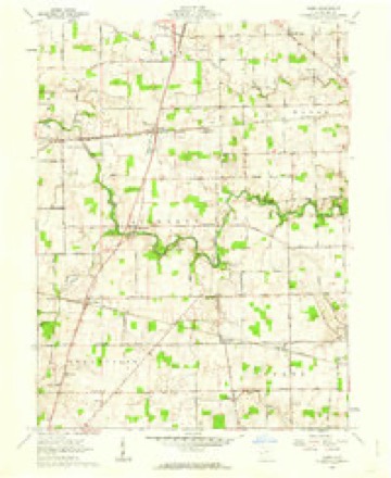
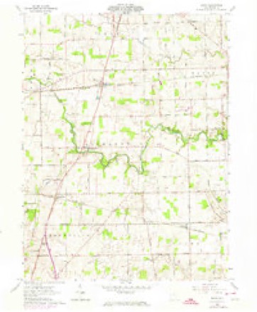
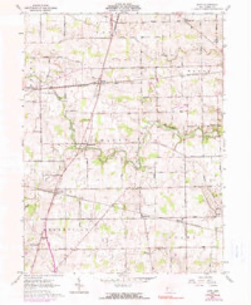
1953 to 1986The same ground, surveyed 33 years apart. Drag the handle to wipe between them. Both sheets are United States Geological Survey originals; neither has been altered.

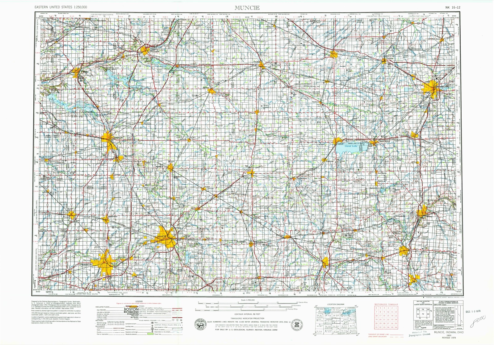
Topographic sheets covering this place
12 sheetsMatched by testing this settlement's coordinate against the published boundary of every sheet in the United States Geological Survey's historical collection. Each opens the scanned sheet at the Survey.
- 1953 USGS Muncie quadrangle1:250000
- 1953 USGS Muncie quadrangle1:250000
- 1953 USGS Muncie quadrangle1:250000
- 1953 USGS Muncie quadrangle1:250000
- 1953 USGS Muncie quadrangle1:250000
- 1956 USGS Muncie quadrangle1:250000
- 1961 USGS Dawn quadrangle1:24000
- 1961 USGS Dawn quadrangle1:24000
- 1961 USGS Dawn quadrangle1:24000
- 1986 USGS Piqua quadrangle1:100000
- 1986 USGS Piqua quadrangle1:100000
- 1986 USGS Piqua quadrangle1:100000









In the 1880 county history
17,405 words on this townshipThe county history of 1880 has no passage naming this settlement, which was common for the smaller places. Its township is covered in full.
The chapter on Wayne Township covers the township.
Read the chapter on Wayne Township - 17,405 words.
Specimens collected nearby
12 of 212 shownMuseums hold 212 specimens collected within 10 miles of Frenchtown between 1911 and 1975: 201 Animalia, 10 Fungi, 1 Plantae. 12 distinct Species records are shown. Collected by Albrecht, C., Albrecht, C., Valentine, B. (Barry) & Valentine, B. (Buena), Andrew R. Moldenke and others. Each is a physical object with a catalogue number, and each entry opens the museum's record. This is what was collected and kept, not a survey of what lives here - nothing can be concluded from a species being absent.
| Image | Species | Year | Collected by | Where, as recorded |
|---|---|---|---|---|
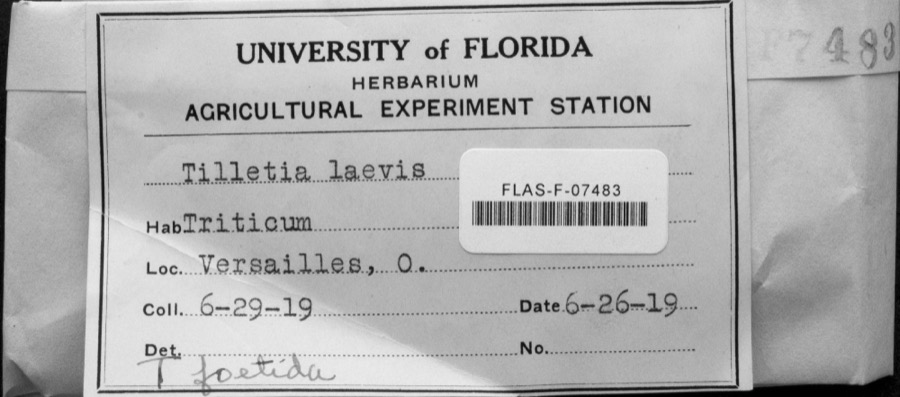 | Tilletia laevis J.G.Kühn | 1919 | not recorded | Versailles |
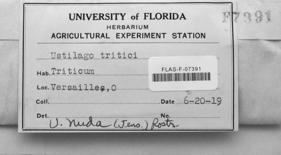 | Ustilago nuda (C.N.Jensen) Kellerm. & Swingle | 1919 | s.n. | Versailles |
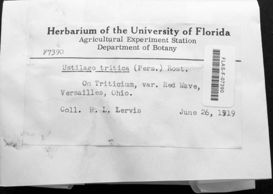 | Ustilago tritici (Bjerk.) Rostr. | 1919 | H.L. Lewis | Versailles |
 | Fomes lobatus Cooke | 1911 | Overholts L. O. | Gettysburg |
 | Macrolepiota procera (Scop.) Singer | 1911 | Overholts | Gettysburg |
 | Polyporus zonalis Berk. | 1911 | Overholts L. O. | Gettysburg |
 | Poria undata (Pers.) Quél. | 1911 | Overholts L. O. | Gettysburg |
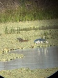 | Butorides virescens virescens (Linnaeus, 1758) | 1915 | Householder, V. | Ausonia, 1 mi E |
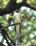 | Contopus virens (Linnaeus, 1766) | 1915 | Householder, V. | Ausonia, 3 mi W |
 | Dolichonyx oryzivorus (Linnaeus, 1758) | 1915 | Householder, V. | 1 mi. E Ausonia |
 | Falco sparverius sparverius Linnaeus, 1758 | 1915 | Householder, V. | Ansonia, 1 mi E |
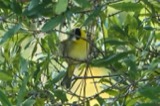 | Geothlypis trichas (Linnaeus, 1766) | 1915 | Householder, V. | Ausonia, 1 mi. E |
All 212 specimens within 10 miles, at the Global Biodiversity Information Facility.
Storms nearby
3 since 2017The National Weather Service names Frenchtown in 3 storm reports between 2017 and 2022: 1 thunderstorm wind, 1 flood, 1 tornado. No death or injury is recorded in these reports. Each account below is quoted exactly as the forecast office filed it, from the NOAA Storm Events Database, and each date opens the federal record of that event.
| When | Event | Place named | Harm | What the report says |
|---|---|---|---|---|
| March 2022 | Tornado (EF0) | Frenchtown | $150,000 | The first signs of damage with the tornado occurred near the intersection of OH-185 and Conover Road, where minor damage to a few trees and homes occurred. The tornado moved east-northeast and caused more significant damage to a few properties on Versailles Yorkshire Road, just south of Burns Road. At one property, two large barns were leveled and roof damage was observed to other structures. A home on the southeast corner of the Versailles Yorkshire Road and Burns Road intersection had a small amount of roofing material removed, along with more extensive shingle damage and a few trees uprooted. A car at this property was moved from its parked position and a piece of plywood was embedded under the hood.||Continuing to the east-northeast, two properties on the north side of Burns Road sustained damage, along with numerous trees that were downed in a small stand of hardwoods. There was quite a bit of roof damage to outbuildings at these properties along with some minor damage to more well-built structures. One home had a notable amount of mud splatter on a south-facing garage door. Eyewitness reports and photography indicated that debris from these locations traveled over a quarter mile across the open fields.||Damage was also observed at a cluster of homes on Reed Road, just north of Burns Road. Most of the structural damage here was minor, primarily limited to fascia and siding. At least 20 to 30 trees in this area sustained damage with some of them uprooted and numerous others with large limbs snapped off. Debris from this cluster of properties was observed along a treeline across Reed Road to the east.||Additional minor tree damage occurred on Cramer Road. The last visible damage from this tornado occurred in a treeline south of Murphy Road along Swamp Creek, where a few large limbs were downed. |
| July 2017 | Thunderstorm Wind | Frenchtown | $4,000 | Several trees and wires were downed across the roadway near the intersection of Greenville Saint Marys Road and Goubeaux Road. |
| September 2020 | Flood | Frenchtown | - | Mangen Road was closed due to high water. |
Nearest settlements
The eight closest, with where each one stands in the county. Distances are straight-line, computed from the Geographic Names Information System coordinates.
| Map | Place | Distance | Sheets |
|---|---|---|---|
| Brock | 2.3 miles | 12 | |
| North Jacksonville | 2.4 miles | 13 | |
| Versailles | 2.7 miles | 13 | |
| Dawn | 3.6 miles | 12 | |
| Needmore | 3.7 miles | 12 | |
| Strakers (historical) | 4.4 miles | 15 | |
| Webster | 4.8 miles | 13 | |
| Beamsville | 5.2 miles | 12 |
Elsewhere
Matched on this settlement's Geographic Names Information System number rather than its name, so it cannot be a different place of the same name in another state.
| Wikipedia article on Frenchtown | An encyclopaedic summary. Its text is share-alike, so it is linked here rather than copied. |
| Wikidata item Q5502743 | The structured record the population and elevation above come from. Public domain (CC0). |
Provenance
This settlement is recorded in the Geographic Names Information System as feature 1048761. The sheet list is computed by point-in-boundary test against the United States Geological Survey's historical topographic inventory. Both are works of the United States government and carry no copyright under 17 U.S.C. 105.
Specimens. Global Biodiversity Information Facility (GBIF), https://www.gbif.org/. Only records licensed CC0 or CC BY are used. Records licensed CC BY-NC are excluded because this site carries advertising. Images are checked individually and any whose licence is non-commercial, no-derivatives or unreadable is refused.
Storms. NOAA National Centers for Environmental Information, Storm Events Database https://www.ncei.noaa.gov/stormevents/ A work of the United States government, no copyright under 17 U.S.C. 105. Narratives are quoted verbatim from the National Weather Service report and are not edited or summarised.