 Block
Block
Norton, Ohio
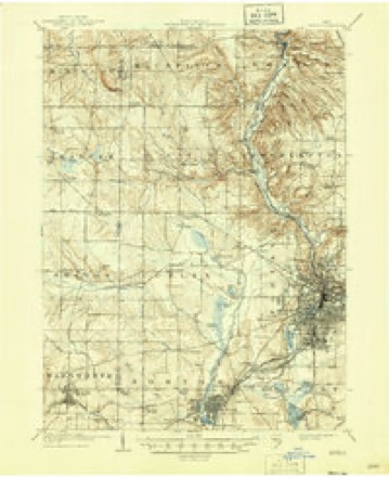
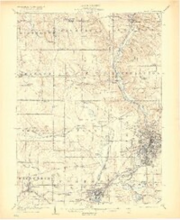
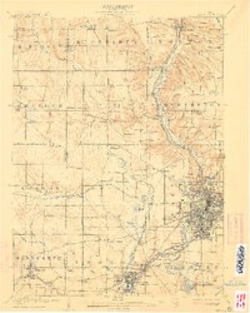
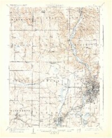
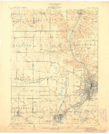
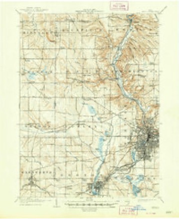
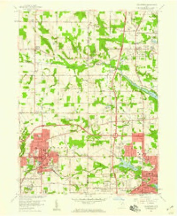
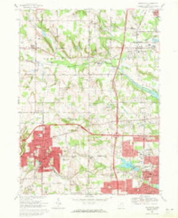
18 topographic sheets cover this place, the earliest surveyed in 1903 and the latest in 1994. It stands in Norton City. It lies in ZIP code area 44203. It stands on Van Hyning Run. The Survey maps it on the Wadsworth quadrangle. 11,673 people lived here at the 2020 count. It stands 1,066 feet above sea level.
Then and now
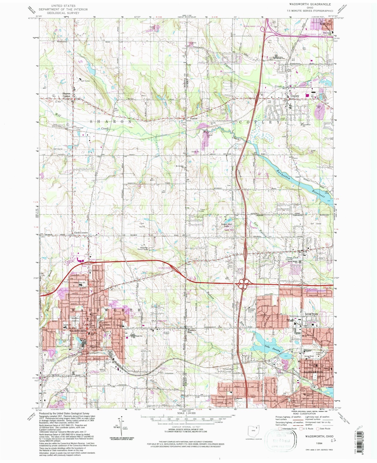
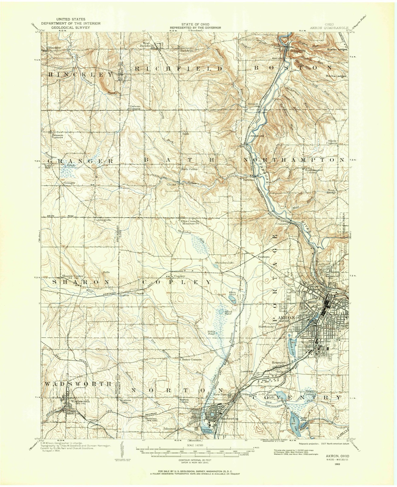
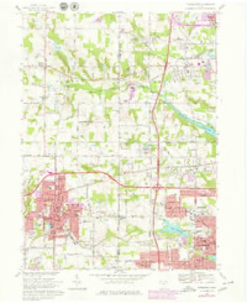
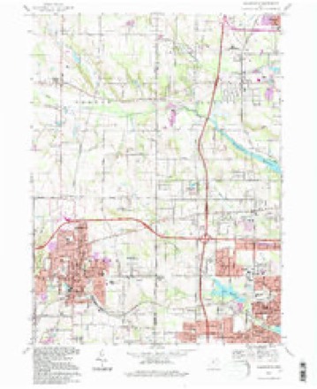
1903 to 1994The same ground, surveyed 91 years apart. Drag the handle to wipe between them. Both sheets are United States Geological Survey originals; neither has been altered.
Compare 1903 against another survey:
Topographic sheets covering this place
18 sheetsMatched by testing this settlement's coordinate against the published boundary of every sheet in the United States Geological Survey's historical collection. Each opens the scanned sheet at the Survey.
- 1903 USGS Akron quadrangle1:62500
- 1905 USGS Akron quadrangle1:62500
- 1905 USGS Akron quadrangle1:62500
- 1905 USGS Akron quadrangle1:62500
- 1905 USGS Akron quadrangle1:62500
- 1905 USGS Akron quadrangle1:62500
- 1905 USGS Akron quadrangle1:62500
- 1905 USGS Akron quadrangle1:62500
- 1956 USGS Cleveland quadrangle1:250000
- 1956 USGS Cleveland quadrangle1:250000
- 1956 USGS Cleveland quadrangle1:250000
- 1958 USGS Wadsworth quadrangle1:24000
- 1962 USGS Cleveland quadrangle1:250000
- 1969 USGS Wadsworth quadrangle1:24000
- 1969 USGS Wadsworth quadrangle1:24000
- 1986 USGS Cleveland South quadrangle1:100000
- 1994 USGS Cleveland South quadrangle1:100000
- 1994 USGS Wadsworth quadrangle1:24000






Specimens collected nearby
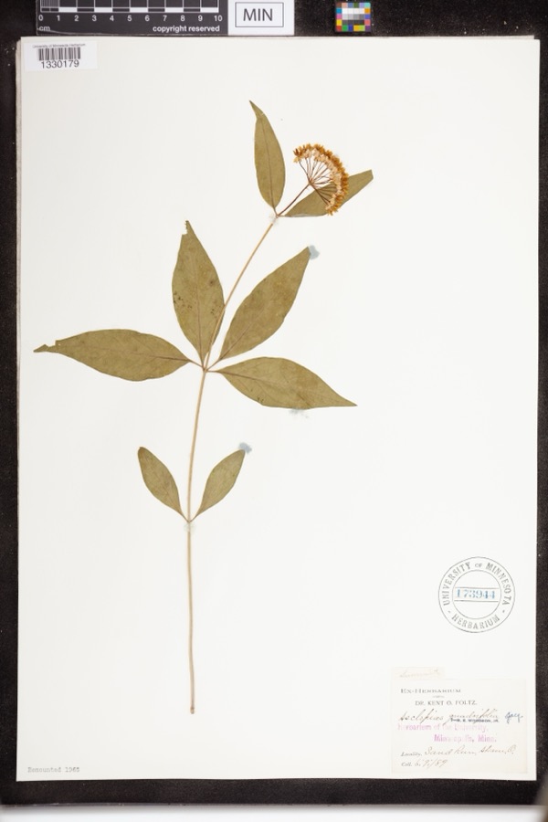
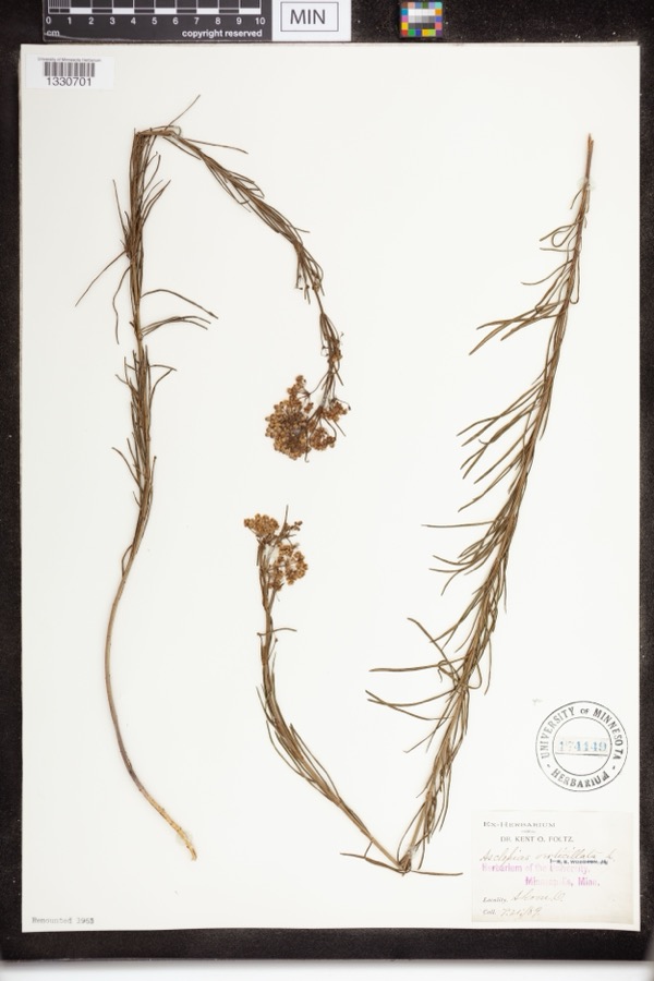
12 of 709 shownMuseums hold 709 specimens collected within 10 miles of Norton between 1867 and 1975: 613 Animalia, 51 Plantae, 43 Fungi, 1 Unrecorded, 1 Bacteria. 12 distinct Species records are shown. Collected by (no collector listed), A. Black, A. Woolman and others. Each is a physical object with a catalogue number, and each entry opens the museum's record. This is what was collected and kept, not a survey of what lives here - nothing can be concluded from a species being absent.
| Image | Species | Year | Collected by | Where, as recorded |
|---|---|---|---|---|
 | Asclepias quadrifolia Jacq. | 1889 | Foltz, Kent O. | Sand Run Park; Akron |
 | Asclepias verticillata L. | 1889 | not recorded | Akron |
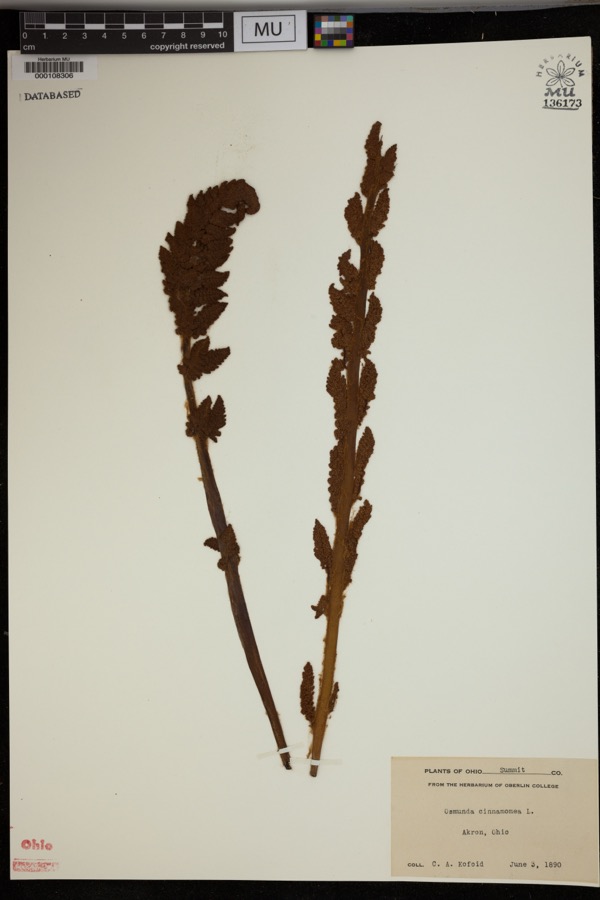 | Osmunda cinnamomea L. | 1890 | Kofoid, C.A. | Akron. |
 | Accipiter striatus velox (A.Wilson, 1812) | 1867 | Collector(s): James Lee Peters | Akron |
 | Dryopteris carthusiana (Vill.) H.P.Fuchs | 1880 | F. O. Payne | Akron |
 | Hydrastis canadensis L. | 1888 | E.L. Sturtevant II | |
 | Lonicera dioica L. | 1888 | K. O. Foltz | |
 | Penstemon hirsutus (L.) Willd. | 1888 | K. O. Foltz | |
 | Carex pensylvanica Lam. | 1889 | Foltz, K.O. | Akron |
 | Peltandra virginica (L.) Schott | 1889 | Foltz, Kent O. | Akron; Blue Pond |
 | Platanthera flava var. herbiola (R.Br.) Luer | 1889 | K. O. Foltz | Copley Swamp, near Akron |
 | Phegopteris connectilis (Michx.) Watt | 1890 | F. O. Payne | Akron |
All 709 specimens within 10 miles, at the Global Biodiversity Information Facility.
Mines and quarries nearby
10 of 13 shownThe federal mineral resources record lists 13 workings within 5 miles of Norton: 6 past producers, 6 producers, 1 plant. 7 still produce. What was taken out: Sand and Gravel, Construction, Stone, Crushed/Broken, Limestone, General, Marble, Dimension, Cement Rock. Distance is straight-line from the map coordinates, so a quarry counted here may appear on a neighbouring settlement's page as well.
| Where | Site | Commodity | Status | Recorded |
|---|---|---|---|---|
| Barberton Cement Plant | Marble, Dimension, Cement Rock | Producer | ||
| Barberton Limestone Mine | Limestone, General | Past Producer | Sedimentary | |
| Ppg Indus Brine Wells Plant | Salt | Producer | ||
| Barberton Sand Plant & Quarry | Stone, Crushed/Broken | Plant | ||
| Barberton Sand Quarry | Stone, Crushed/Broken | Past Producer | Sedimentary | |
| Barberton Pit | Sand and Gravel, Construction | Past Producer | Sedimentary | |
| Copley Pit | Sand and Gravel, Construction | Producer | ||
| Empire Pit | Sand and Gravel, Construction | Past Producer | Sedimentary | |
| Empire Pit | Sand and Gravel, Construction | Past Producer | ||
| Flesher Pit | Sand and Gravel, Construction | Producer |
Storms nearby
20 since 1996The National Weather Service names Norton in 20 storm reports between 1996 and 2026: 8 hail, 7 thunderstorm wind, 4 flash flood, 1 tornado. No death or injury is recorded in these reports. Each account below is quoted exactly as the forecast office filed it, from the NOAA Storm Events Database, and each date opens the federal record of that event.
| When | Event | Place named | Harm | What the report says |
|---|---|---|---|---|
| April 2020 | Tornado (EF1) | Norton | $500,000 | An EF1 tornado began at a baseball diamond complex along Yonkers Road, about 0.25 miles northwest of Newton Park in Barberton. As the tornado moved southeastward through Barberton, softwood trees were uprooted between Morgan Street and West Summit Street, just west of Orchard Ave, and along Grandview Ave, just northwest of the intersection with 5th Street NE. Farther to the southeast in Barberton, the tornado uprooted several hardwood trees which then fell onto and damaged three homes along Wisteria Drive. As the tornado progressed through the Portage Lakes area, at least 200 trees were lost in the Bramblewood Estates, between Quail Ridge Circle and OH 619. Nearby, softwood and hardwood trees were either snapped or uprooted at and near Turkeyfoot Lake Golf Links. The tornado then entered Green, where hardwood trees were uprooted along Arlington Road, about 0.10 miles south of Harring Road, and along Golden Wood Way, where a tree fell onto a garage and caused extensive damage to the home. Farther to the southeast, the tornado snapped multiple softwood trees at a cemetery along Thursby Road and peeled away portions of a barn's roof along Thursby Road, just south of Greensburg Road. Soon thereafter, the tornado dissipated at the intersection of Thursby Road and Discovery Road. No fatalities or injuries occurred. |
| August 2024 | Flash Flood | Norton | $450,000 | Widespread flash flooding in Barberton. Several basements were flooded with multiple cars stranded on flooded roadways. Wooster Road at 9th Street NW closed due to flooding. One basement wall collapse reported on 17th Street NW. Two families required water rescue from flooded homes on 15th Street NW. |
| August 2007 | Flash Flood | Norton | $250,000 | Heavy rain fell across the area during the morning of the 20th causing flash flooding conditions. Areas most impacted were from Norton east to Barberton, and from Fairlawn south to Clinton. Reports indicated there were many roads closed throughout western portions of Summit County. In Fairlawn, trained spotters reported flood waters affecting several homes. In Norton, an elementary school was threatened by flash flooding. Teachers sand bagged doors to prevent water from getting into the school. Rainfall reports from that day indicate that between 1.5 and 4.0 inches of rain fell across the area. However, a few reports from the Portage Lakes area indicate that as much as 4.0 inches of rain fell across the area over the 24 hour period ending around 4pm on the 20th. Further investigation of rainfall reports shows that one reporting station in Portage Lakes measured 1.5 inches of rain between 9:30 am and 10:00 am that morning alone. |
| July 2008 | Thunderstorm Wind | Norton | $100,000 | A thunderstorm downburst downed many trees in Norton. An above ground swimming pool was flattened and at least one home had windows blown out. Scattered power outages were reported throughout the city as well. |
| August 2019 | Thunderstorm Wind | Norton | $50,000 | A tree fell onto a house with damage. There were numerous reports of trees and power line blown down across the area. |
| July 2002 | Hail | Norton | $25,000 | Golf ball size hail was observed. |
| May 2025 | Thunderstorm Wind | Norton | $20,000 | Numerous trees downed in Barberton, including one that pierced the roof of a home. |
| August 2019 | Thunderstorm Wind | Norton | $5,000 | Several power lines were blown down. |
| August 2016 | Thunderstorm Wind | Norton | $5,000 | Thunderstorm winds knocked a large tree down on top of a garage. The garage sustained some damage. |
| August 2001 | Thunderstorm Wind | Norton | $2,000 | Thunderstorm winds downed a large tree limb. |
| April 2017 | Thunderstorm Wind | Norton | $1,000 | Thunderstorm winds downed two large tree limbs. |
| March 2026 | Hail | Norton | - | Hail up to quarter-size about one-mile northwest of Barberton. |
| March 2026 | Hail | Norton | - | Hail up to quarter-size in Barberton. |
| April 2026 | Hail | Norton | - | Hail up to quarter-size about one-mile northwest of Barberton. |
| August 2024 | Flash Flood | Norton | - | I-76 closed due to flooding near Summit Street. |
| June 2013 | Hail | Norton | - | The public reported quarter size hail near State and Taft Streets in Barberton. |
| June 2010 | Hail | Norton | - | Nickel to quarter sized hail was reported. |
| June 2008 | Hail | Norton | - | no account filed |
| April 1998 | Hail | Norton | - | no account filed |
| June 1996 | Flash Flood | Norton | - | no account filed |
Nearest settlements
The eight closest, with where each one stands in the county. Distances are straight-line, computed from the Geographic Names Information System coordinates.
| Map | Place | Distance | Sheets |
|---|---|---|---|
| Bates Corners | 1.5 miles | 18 | |
| Johnsons Corners | 1.6 miles | 18 | |
| Sherman (historical) | 1.9 miles | 18 | |
| Barberton | 2.1 miles | 22 | |
| New Portage | 2.5 miles | 22 | |
| Western Star | 2.6 miles | 18 | |
| Hametown | 2.8 miles | 17 | |
| Lawndale | 3.1 miles | 22 |
Elsewhere
Matched on this settlement's Geographic Names Information System number rather than its name, so it cannot be a different place of the same name in another state.
| Wikipedia article on Norton | An encyclopaedic summary. Its text is share-alike, so it is linked here rather than copied. |
| Wikidata item Q2372414 | The structured record the population and elevation above come from. Public domain (CC0). |
Provenance
This settlement is recorded in the Geographic Names Information System as feature 1071010. The sheet list is computed by point-in-boundary test against the United States Geological Survey's historical topographic inventory. Both are works of the United States government and carry no copyright under 17 U.S.C. 105.
Specimens. Global Biodiversity Information Facility (GBIF), https://www.gbif.org/. Only records licensed CC0 or CC BY are used. Records licensed CC BY-NC are excluded because this site carries advertising. Images are checked individually and any whose licence is non-commercial, no-derivatives or unreadable is refused.
Mines and quarries. USGS Mineral Resources Data System (MRDS) https://mrdata.usgs.gov/mrds/ A work of the United States government, no copyright under 17 U.S.C. 105.
Storms. NOAA National Centers for Environmental Information, Storm Events Database https://www.ncei.noaa.gov/stormevents/ A work of the United States government, no copyright under 17 U.S.C. 105. Narratives are quoted verbatim from the National Weather Service report and are not edited or summarised.