 Block
Block
Barberton, Ohio
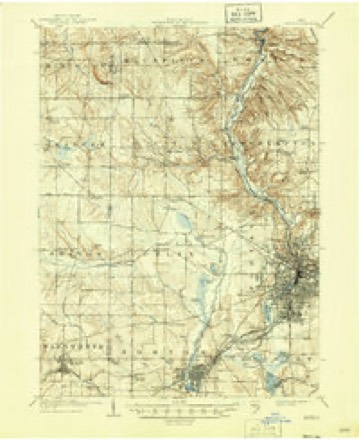
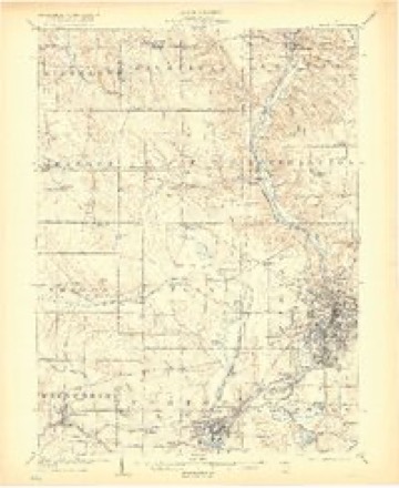
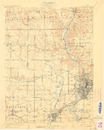
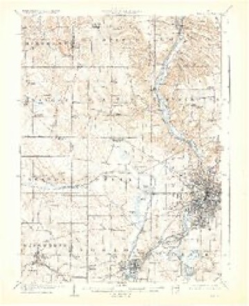
22 topographic sheets cover this place, the earliest surveyed in 1903 and the latest in 1994. It stands in Barberton City. It lies in ZIP code area 44203. It stands on Wolf Creek. The Survey maps it on the Akron West quadrangle. 25,191 people lived here at the 2020 count. It stands 974 feet above sea level.
Population over time
2 figuresBarberton fell from 26,550 to 25,191 between 2010 and 2020. These are the recorded population figures Wikidata holds for this place, reached through the Geographic Names Information System number this page is keyed on rather than by name, so they belong to this place and not to another of the same name. Most are census counts, but not all are: an early figure may be a founding or settlement estimate. The change column is computed, and is left blank where more than 20 years separate a figure from the one before it, because a gap that long is not a change between two counts.
| Year | People | Change |
|---|---|---|
| 2010 | 26,550 | |
| 2020 | 25,191 | -1,359 (-5%) |
Then and now
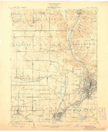
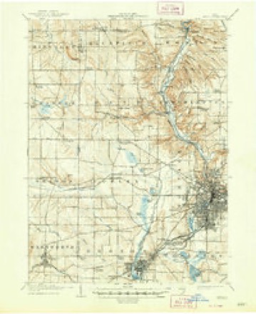
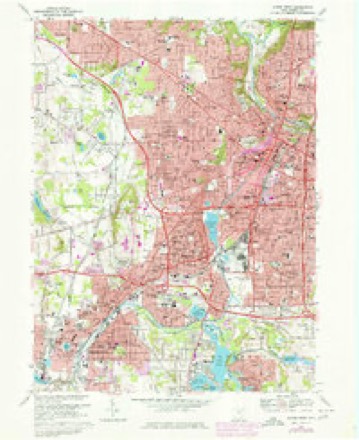
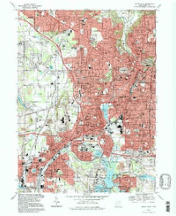
1903 to 1994The same ground, surveyed 91 years apart. Drag the handle to wipe between them. Both sheets are United States Geological Survey originals; neither has been altered.
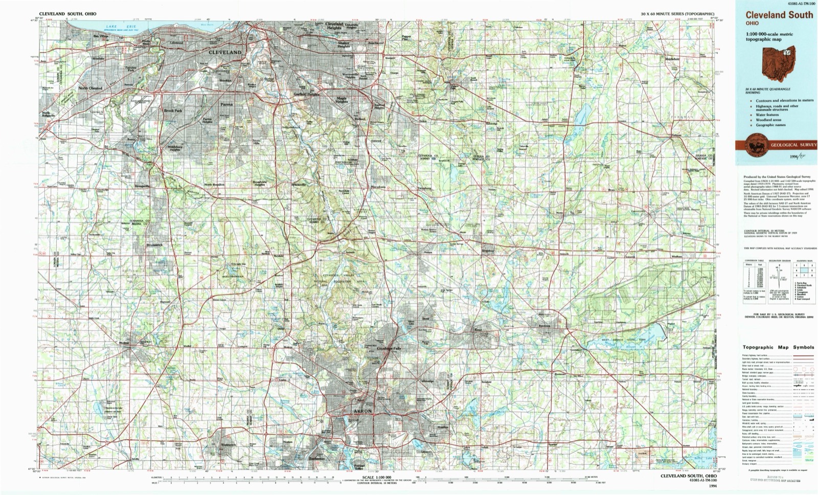
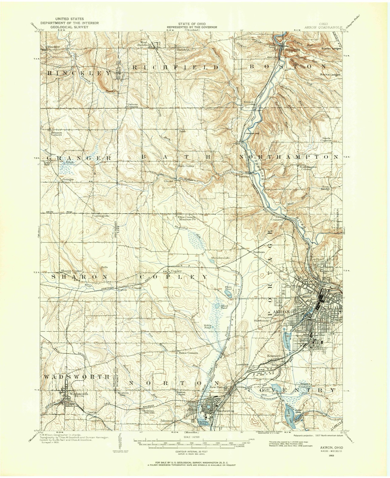
Topographic sheets covering this place
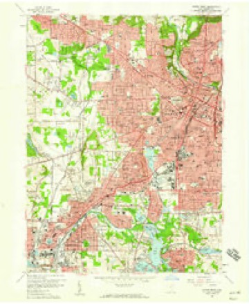
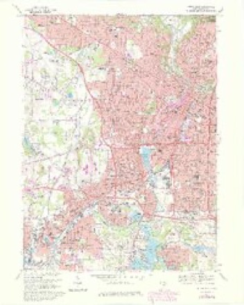
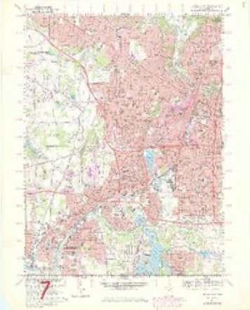
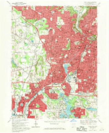
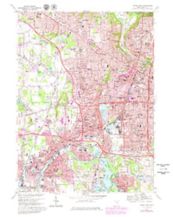
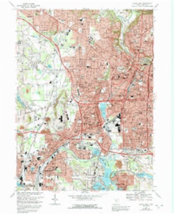
22 sheetsMatched by testing this settlement's coordinate against the published boundary of every sheet in the United States Geological Survey's historical collection. Each opens the scanned sheet at the Survey.
- 1903 USGS Akron quadrangle1:62500
- 1905 USGS Akron quadrangle1:62500
- 1905 USGS Akron quadrangle1:62500
- 1905 USGS Akron quadrangle1:62500
- 1905 USGS Akron quadrangle1:62500
- 1905 USGS Akron quadrangle1:62500
- 1905 USGS Akron quadrangle1:62500
- 1905 USGS Akron quadrangle1:62500
- 1956 USGS Cleveland quadrangle1:250000
- 1956 USGS Cleveland quadrangle1:250000
- 1956 USGS Cleveland quadrangle1:250000
- 1958 USGS Akron West quadrangle1:24000
- 1962 USGS Cleveland quadrangle1:250000
- 1967 USGS Akron West quadrangle1:24000
- 1967 USGS Akron West quadrangle1:24000
- 1967 USGS Akron West quadrangle1:24000
- 1967 USGS Akron West quadrangle1:24000
- 1967 USGS Akron West quadrangle1:24000
- 1967 USGS Akron West quadrangle1:24000
- 1986 USGS Cleveland South quadrangle1:100000
- 1994 USGS Akron West quadrangle1:24000
- 1994 USGS Cleveland South quadrangle1:100000






Specimens collected nearby
12 of 693 shownMuseums hold 693 specimens collected within 10 miles of Barberton between 1867 and 1975: 588 Animalia, 60 Plantae, 43 Fungi, 1 Unrecorded, 1 Bacteria. 12 distinct Species records are shown. Collected by (no collector listed), A. W. Cusick, A. Woolman and others. Each is a physical object with a catalogue number, and each entry opens the museum's record. This is what was collected and kept, not a survey of what lives here - nothing can be concluded from a species being absent.
| Image | Species | Year | Collected by | Where, as recorded |
|---|---|---|---|---|
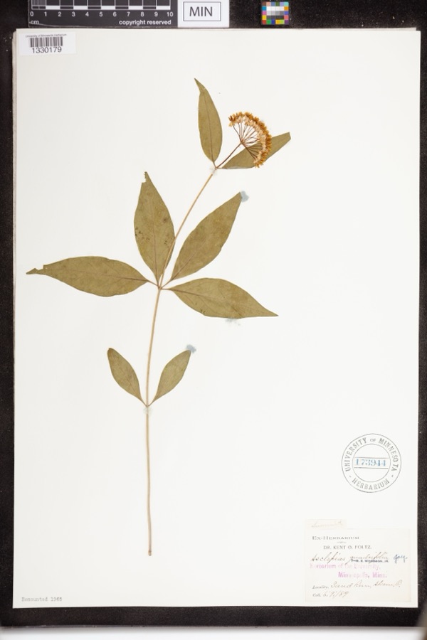 | Asclepias quadrifolia Jacq. | 1889 | Foltz, Kent O. | Sand Run Park; Akron |
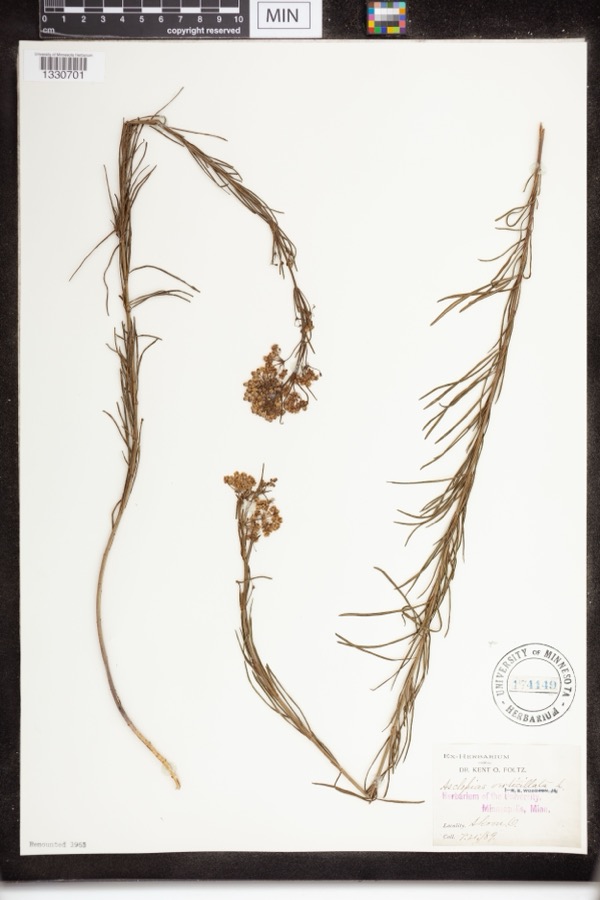 | Asclepias verticillata L. | 1889 | not recorded | Akron |
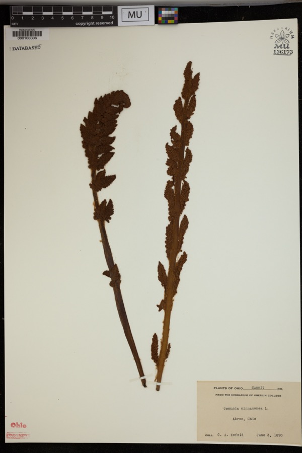 | Osmunda cinnamomea L. | 1890 | Kofoid, C.A. | Akron. |
 | Accipiter striatus velox (A.Wilson, 1812) | 1867 | Collector(s): James Lee Peters | Akron |
 | Dryopteris carthusiana (Vill.) H.P.Fuchs | 1880 | F. O. Payne | Akron |
 | Geum aleppicum Jacq. | 1887 | Elliott | Greensburg |
 | Geum canadense Jacq. | 1887 | Elliott | Greensburg |
 | Hydrastis canadensis L. | 1888 | E.L. Sturtevant II | |
 | Lonicera dioica L. | 1888 | K. O. Foltz | |
 | Penstemon hirsutus (L.) Willd. | 1888 | K. O. Foltz | |
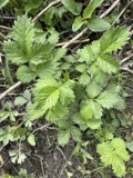 | Agrimonia gryposepala Wallr. | 1889 | Elliott | Greensburg |
 | Carex pensylvanica Lam. | 1889 | Foltz, K.O. | Akron |
All 693 specimens within 10 miles, at the Global Biodiversity Information Facility.
Mines and quarries nearby
10 of 12 shownThe federal mineral resources record lists 12 workings within 5 miles of Barberton: 6 past producers, 5 producers, 1 plant. 6 still produce. What was taken out: Sand and Gravel, Construction, Stone, Crushed/Broken, Stone, Crushed/Broken, Clay, Coal, Limestone, General. Distance is straight-line from the map coordinates, so a quarry counted here may appear on a neighbouring settlement's page as well.
| Where | Site | Commodity | Status | Recorded |
|---|---|---|---|---|
| Barberton Cement Plant | Marble, Dimension, Cement Rock | Producer | ||
| Barberton Limestone Mine | Limestone, General | Past Producer | Sedimentary | |
| Carbon Limestone Company Quarry | Stone, Crushed/Broken, Clay, Coal | Producer | ||
| Ppg Indus Brine Wells Plant | Salt | Producer | ||
| Barberton Sand Plant & Quarry | Stone, Crushed/Broken | Plant | ||
| Barberton Sand Quarry | Stone, Crushed/Broken | Past Producer | Sedimentary | |
| Barberton Pit | Sand and Gravel, Construction | Past Producer | Sedimentary | |
| Empire Pit | Sand and Gravel, Construction | Past Producer | Sedimentary | |
| Empire Pit | Sand and Gravel, Construction | Past Producer | ||
| Flesher Pit | Sand and Gravel, Construction | Producer |
Storms nearby
29 since 1994The National Weather Service names Barberton in 29 storm reports between 1994 and 2019: 15 thunderstorm wind, 10 hail, 3 flash flood, 1 lightning. No death or injury is recorded in these reports. Each account below is quoted exactly as the forecast office filed it, from the NOAA Storm Events Database, and each date opens the federal record of that event.
| When | Event | Place named | Harm | What the report says |
|---|---|---|---|---|
| July 2013 | Flash Flood | Barberton | $15,000,000 | Torrential rainfall on July 10th ended the streek of 13 days of measurable rain in the Barberton-Norton region, and ending it with the highest rainfall amounts measuring during that time. Almost seven inches of rain fell in the two weeks prior, and on the 10th rainfall amounts in the basin measured between 2 to 3 inches which fell in the hour between 230 and 330 PM. This extreme rainfall rate fell over already saturated ground and swollen stream and creeks, resulting in rapid runoff and flooding. Heavy rainfall of this magnitude overwhelmed the existing stormwater systems with extensive street flooding throughout Barberton. In many areas of Barberton the flooded streets drained within a few hours leaving many flooded basements, garages and yards. After the flash flooding had stopped, the upstream routed water caused the flood waters to continue a slow rise in Barberton. These areas began flooding during the night of July 10 and by the morning of July 11th flooding was reaching into new areas. Flood waters in most areas receded by Sunday July 14th leaving behind large areas of the City needing clean-up operations. The City estimates that over 700 buildings suffered some form of water intrusion including sewage backups.||14TH, 15TH & 16TH STREETS NW WOLF CREEK|Flooding began during the intense rain on the afternoon of July 10th and the area remained underwater for three days. The flooding closed bridges across Wolf Creek at Wooster Road West, Brady Ave., Norton Ave., and Barber Road in the City of Norton leaving only the Hopocan Ave. bridge crossing Wolf Creek in Barberton accessible. Over sixty businesses and residences reported flooding issues.|||NORTON AVE. BARBER ROAD, MIAMI ST. - WOLF CREEK|Rising waters of Wolf Creek over the night of July 10-11 flooded the commercial area on Norton Ave. Residents of the Shamrock Motel were evacuated on July 11 and businesses along the north side of Norton Ave. experienced up to two feet of flooding. Over thirty business and residences experienced flooding problems.||30th and 31ST STREETS NW, SOUTH AVE. - HUDSON RUN |Hudson Run experienced a rapid rise in floodwaters during the heavy rainfall in northwest Barberton and Norton. Flood conditions developed rapidly and affected a large Senior Citizen Complex that required evacuation by Barberton Safety Forces on the evening of July 10th along with a number of residences on 31st St. NW and South Ave. Floodwaters overtopped the spillway at the Columbia Lake Dam, about three-quarters of a mile downstream from Wooster Road and closed Hudson Run Road for a short period of time until gates on the dam were opened. |||COVENTRY ROAD , EAGON STREET INDUSTRIAL AREAS MUD RUN|Six businesses and three residences were affect by the floodwaters of Mud Run.||5TH ST. NE INDUSTRIAL AREA TUSCARAWAS RIVER|Three large industries were affected by flooding of parts of their complexes. |
| June 2019 | Flash Flood | Barberton | $750,000 | Barberton is at the headwaters of the Tuscarawas watershed and receives water from 3 additional tributaries; the Wolf Creek, Mud Run, and Hudson Run. On the morning of the 17th these basins received an estimated 3 inches of. The heaviest rain fell after 4 AM with severe flooding starting by 5 AM. June was a particularly wet month with around 2 inches of rain having fallen on the 16th. This enhanced runoff and made already swollen creeks overrun their banks on the 17th. Barberton is in a low area, so in addition to the rain the city receives, rain from surrounding areas flows into it, slowly putting the small city underwater. Up to three feet of 04water submerged some streets and up to six feet flooded many basements. The most significant impacts were from the Wolf Creek which flows south through Barberton. Flooding on 14th Street Northwest had up to 6 feet of water in their basements. Barber Road off ramp from I-76 was closed due to flooding. Miller Road between Brecksville and Barr Road, another main thruway was closed due to flooding. Several home and business owners were evacuated. |
| June 1998 | Thunderstorm Wind | Barberton | $500,000 | Many trees, power lines and utility poles were downed in the southern part of the county. A wind gust of 74 miles per hour was reported in Barberton and an 84 mile per hour gust was reported at Akron Canton Airport. Roofs of buildings at the airport were damaged as well the nose gear of an airplane. At Portage Lakes, boats were ripped from their moorings and turned upside down. |
| August 2007 | Hail | Barberton | $25,000 | Hail ranging from quarter to penny size was observed. |
| August 2002 | Thunderstorm Wind | Barberton | $25,000 | Thunderstorm winds downed many trees in Barberton and Coventry Township. |
| August 2002 | Thunderstorm Wind | Barberton | $20,000 | Thunderstorm winds downed a large tree which crushed a parked car. |
| August 2005 | Thunderstorm Wind | Barberton | $15,000 | Numerous trees and power lines were reported down. A tree was reported to have fallen onto a house causing some roof damage. |
| July 2003 | Thunderstorm Wind | Barberton | $15,000 | Thunderstorm winds downed several trees. |
| May 2006 | Thunderstorm Wind | Barberton | $10,000 | Several trees were reported down across Barberton. |
| July 2006 | Thunderstorm Wind | Barberton | $8,000 | Several trees and large limbs were reported down. |
| May 2008 | Thunderstorm Wind | Barberton | $6,000 | A power pole was snapped. Utility lines were also reported down across the area. |
| July 2006 | Thunderstorm Wind | Barberton | $5,000 | Numerous tree limbs were reported down. |
| April 2002 | Hail | Barberton | $5,000 | Dime size hail was reported to the east of Barberton in Coventry Township. |
| August 2002 | Thunderstorm Wind | Barberton | $5,000 | Thunderstorm winds downed three trees. |
| July 1994 | Thunderstorm Wind | Barberton | $5,000 | Large tree limbs were downed. |
| December 1996 | Flash Flood | Barberton | $5,000 | no account filed |
| June 2008 | Thunderstorm Wind | Barberton | $3,000 | Thunderstorm winds downed several large tree limbs. |
| June 1998 | Thunderstorm Wind | Barberton | $3,000 | Several trees were downed in the southern part of the county |
| May 2014 | Thunderstorm Wind | Barberton | $2,000 | Two small trees fell down on Fairland Road. |
| June 2003 | Hail | Barberton | $2,000 | Nickel size hail was observed. |
| April 2019 | Thunderstorm Wind | Barberton | $1,000 | A tree was blown down onto power lines. |
| June 2011 | Hail | Barberton | - | Thunderstorms produced quarter size hail. |
| August 2011 | Hail | Barberton | - | Quarter sized hail was observed. |
| August 2011 | Hail | Barberton | - | Nickel sized hail was reported. |
| July 2007 | Hail | Barberton | - | Penny size hail was observed for nearly ten minutes as a severe thunderstorm moved through the area. Wind gusts of at least 40 mph were also observed. |
| May 2005 | Hail | Barberton | - | Penny size hail was observed. |
| June 1998 | Hail | Barberton | - | Large hail (0.88") also fell at Coventry |
| July 2000 | Hail | Barberton | - | no account filed |
| April 1996 | Lightning | Barberton | - | no account filed |
Nearest settlements
The eight closest, with where each one stands in the county. Distances are straight-line, computed from the Geographic Names Information System coordinates.
| Map | Place | Distance | Sheets |
|---|---|---|---|
| New Portage | 1.3 miles | 22 | |
| Johnsons Corners | 1.8 miles | 18 | |
| Norton | 2.1 miles | 18 | |
| Lawndale | 2.4 miles | 22 | |
| Lockwood Corners | 2.7 miles | 18 | |
| Bates Corners | 3.1 miles | 18 | |
| Kenmore | 3.2 miles | 22 | |
| Sherman (historical) | 3.3 miles | 18 |
Elsewhere
Matched on this settlement's Geographic Names Information System number rather than its name, so it cannot be a different place of the same name in another state.
| Wikipedia article on Barberton | An encyclopaedic summary. Its text is share-alike, so it is linked here rather than copied. |
| Wikidata item Q807830 | The structured record the population and elevation above come from. Public domain (CC0). |
Provenance
This settlement is recorded in the Geographic Names Information System as feature 1037625. The sheet list is computed by point-in-boundary test against the United States Geological Survey's historical topographic inventory. Both are works of the United States government and carry no copyright under 17 U.S.C. 105.
Specimens. Global Biodiversity Information Facility (GBIF), https://www.gbif.org/. Only records licensed CC0 or CC BY are used. Records licensed CC BY-NC are excluded because this site carries advertising. Images are checked individually and any whose licence is non-commercial, no-derivatives or unreadable is refused.
Mines and quarries. USGS Mineral Resources Data System (MRDS) https://mrdata.usgs.gov/mrds/ A work of the United States government, no copyright under 17 U.S.C. 105.
Storms. NOAA National Centers for Environmental Information, Storm Events Database https://www.ncei.noaa.gov/stormevents/ A work of the United States government, no copyright under 17 U.S.C. 105. Narratives are quoted verbatim from the National Weather Service report and are not edited or summarised.