 Block
Block
Olena, Ohio
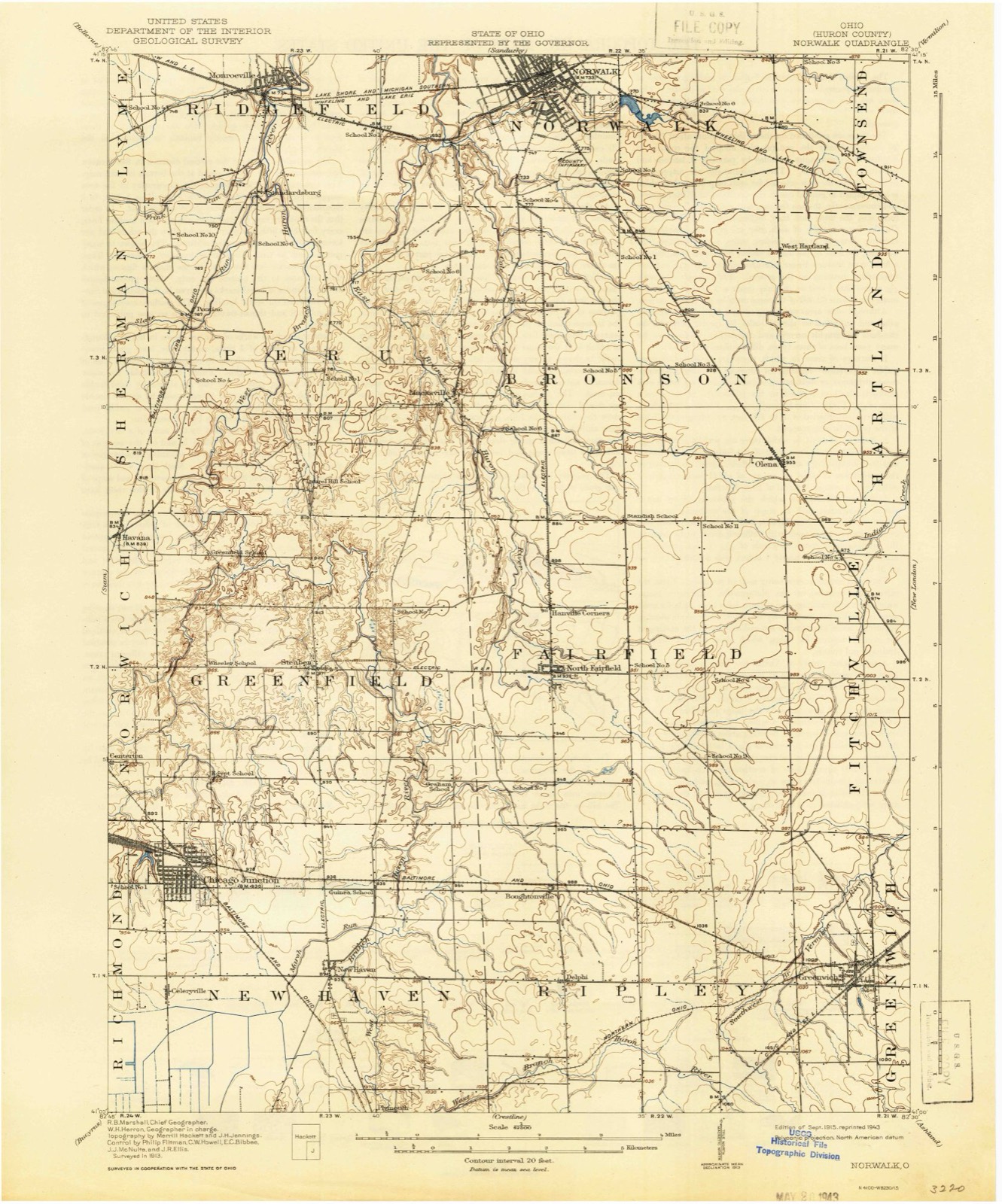
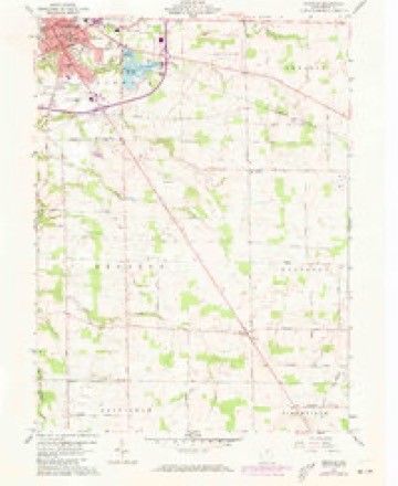
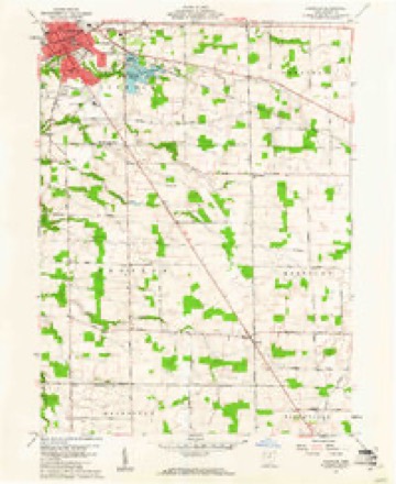
12 topographic sheets cover this place, the earliest surveyed in 1915 and the latest in 1986. It stands in Bronson Township. It lies in ZIP code area 44857. The Survey maps it on the Norwalk quadrangle.
Then and now
1915 to 1986The same ground, surveyed 71 years apart. Drag the handle to wipe between them. Both sheets are United States Geological Survey originals; neither has been altered.

Topographic sheets covering this place
12 sheetsMatched by testing this settlement's coordinate against the published boundary of every sheet in the United States Geological Survey's historical collection. Each opens the scanned sheet at the Survey.
- 1915 USGS Norwalk quadrangle1:62500
- 1915 USGS Norwalk quadrangle1:62500
- 1944 USGS Norwalk quadrangle1:62500
- 1956 USGS Toledo quadrangle1:250000
- 1956 USGS Toledo quadrangle1:250000
- 1956 USGS Toledo quadrangle1:250000
- 1956 USGS Toledo quadrangle1:250000
- 1960 USGS Norwalk quadrangle1:24000
- 1960 USGS Norwalk quadrangle1:24000
- 1961 USGS Toledo quadrangle1:250000
- 1986 USGS Lorain quadrangle1:100000
- 1986 USGS Lorain quadrangle1:100000







In the county-history sources
1,086 words on this townshipHistory of Huron County Ohio Its Progress and Development, published 1909 names this settlement in its chapter on Bronson Township. These are the passages that mention it, exactly as the scans read.
In the southeast part of the township, on the Hartland line, is the village of Olena, the first house in which was built by William H. Burras, in 1832. He purchased sixteen acres of land on the southeast corner of the cross-roads, and put up a log house. He married Ruth Palmer, daughter of Abijah Palmer, of Fitchville, September 22, 1835, and moved into his log cabin, previous to which he had occupied with his parents.
Passage source: History of Huron County Ohio Its Progress and Development, published 1909.
Samuel Burras, an older brother of William, came with his family from the state of New York a short time afterward, and first located on the old State road. but soon after bought a short distance southeast of Olena and erected a log house, which was one of the first buildings in the place.
Passage source: History of Huron County Ohio Its Progress and Development, published 1909.
Among the earliest houses built at Olena, besides those mentioned, were those of Joel Wooley, on the southwest corner of the cross-roads; Hiram Allen, on the northwest corner, and John Moore a short distance west of Allen.
Passage source: History of Huron County Ohio Its Progress and Development, published 1909.
Machine-read from a century-old scan, so expect the errors a machine makes: misspelled names, dropped words, stray characters.
Read the whole chapter on Bronson Township - it names this place 2 more 2 times.
Specimens collected near this place
12 of 867 shownRegional context, not property-specific evidence. Museums hold 867 specimens collected within 10 miles of Olena between 1888 and 1975: 483 Plantae, 303 Animalia, 78 Fungi, 2 Unrecorded, 1 Protozoa. 12 distinct Species records are shown. Collected by A. Woolman, B Zahuranec & party, Baumgartner, L. and others. Each is a physical object with a catalogue number, and each entry opens the museum's record. This is what was collected and kept, not a survey of what lives here - nothing can be concluded from a species being absent.
| Image | Species | Year | Collected by | Where, as recorded |
|---|---|---|---|---|
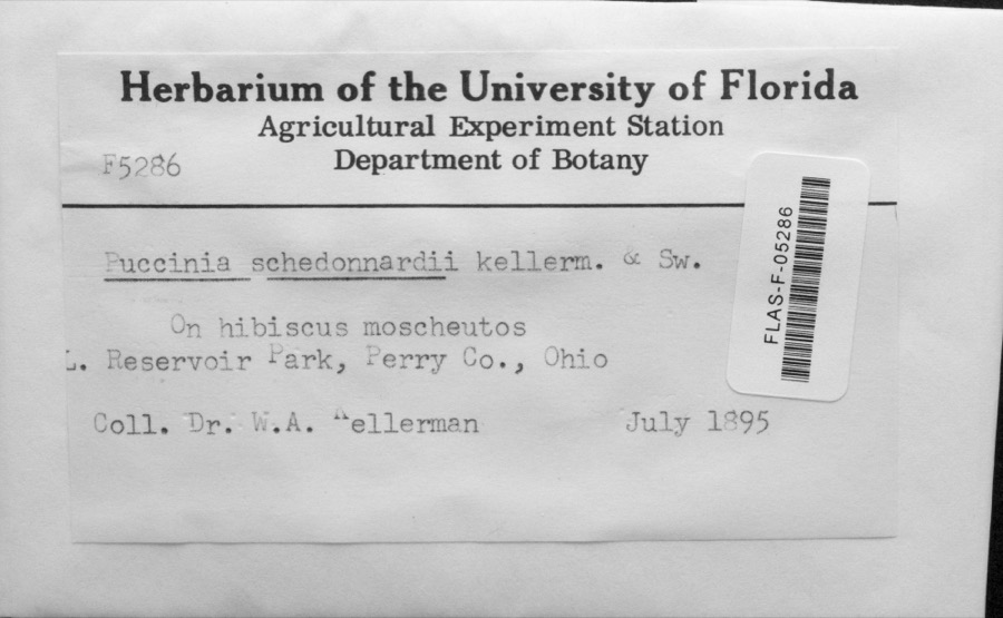 | Puccinia schedonnardi Kellerm. & Swingle | 1895 | Dr. W.A. Kellerman | Reservoir Park; 41.024222 -82.515171 |
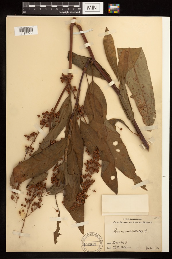 | Rumex verticillatus L. | 1896 | Stair, L. D. | |
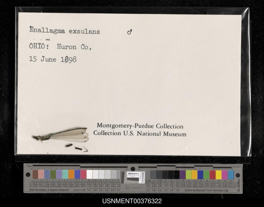 | Enallagma exsulans (Hagen, 1861) | 1898 | [Not Stated] | [Not Stated] |
 | Cephalanthus occidentalis L. | 1888 | Shafer, J.A. | W of Brighton near Cleveland |
 | Chrysemys picta (Schneider, 1783) | 1893 | not recorded | Clarksfield, Vermillion River |
 | Dryopteris carthusiana (Vill.) H.P.Fuchs | 1893 | Collector(s): Edwin Lincoln Moseley | Milan, Huron River |
 | Etheostoma caeruleum Storer, 1845 | 1893 | not recorded | Vermillion River, Clarksfield, Ohio |
 | Lithobates pipiens (Schreber, 1782) | 1893 | not recorded | Monroeville, Huron River |
 | Micropterus dolomieu Lacepède, 1802 | 1893 | A. Woolman | Vermillion River, Clarksfield, Ohio |
 | Moxostoma erythrurum (Rafinesque, 1818) | 1893 | A. Woolman | Vermillion River, Clarksfield, Ohio |
 | Notropis cornutus (Mitchill, 1817) | 1893 | not recorded | Vermillion River, Clarksfield, Ohio |
 | Bidens laevis (L.) Britton, Sterns & Poggenb. | 1894 | Collector(s): Edwin Lincoln Moseley | Huron River, Milan |
All 867 specimens within 10 miles, at the Global Biodiversity Information Facility.
Mines and quarries near this place
4 within 5 milesRegional context, not property-specific evidence. The federal mineral resources record lists 4 workings within 5 miles of Olena: 3 past producers, 1 producer. 1 still produces. What was taken out: Sand and Gravel, Construction, Stone, Crushed/Broken. Distance is straight-line from the map coordinates, so a quarry counted here may appear on a neighbouring settlement's page as well.
| Where | Site | Commodity | Status | Recorded |
|---|---|---|---|---|
| Price Sand and Gravel Pit Number 2 | Sand and Gravel, Construction | Past Producer | Sedimentary | |
| Price Sand and Gravel Pit Number 2 | Sand and Gravel, Construction | Producer | ||
| Riley Stone Quarry | Stone, Crushed/Broken | Past Producer | Sedimentary | |
| Riley Stone Quarry | Stone, Crushed/Broken | Past Producer |
Storms near this place
4 since 2002Regional context, not property-specific evidence. The National Weather Service names Olena in 4 storm reports between 2002 and 2025: 3 thunderstorm wind, 1 tornado. No death or injury is recorded in these reports. Each account below is quoted exactly as the forecast office filed it, from the NOAA Storm Events Database, and each date opens the federal record of that event.
| When | Event | Place named | Harm | What the report says |
|---|---|---|---|---|
| June 2023 | Tornado (EF1) | Olena | $165,000 | This tornado began in vicinity of New State Road and Townline Road 131, where it downed a deteriorated barn. The tornado continued southeast toward the village of North Fairfield, intensified, lifted a large portion of a roof off an outbuilding, and downed several trees on Hanville Corners Road. A power pole was separated from power lines with additional tree damage. The tornado entered North Fairfield and caused widespread tree and power line damage in the village. Some roofing material was lifted off residences and some trees fell onto homes. A large sign was ripped off the facade of a building and several light and power poles were leaning along Main Street (OH-162). Damage in the village was at the EF0 to EF1 level and this is where the tornado was widest along its path.||The tornado continued southeastward across Penn Road toward Old State Road and Olive Road, where a large area of snapped and shredded trees fell and additional damage occurred to several barns and outbuildings. The greatest damage occurred near the intersection of Old State Road and Townline Road 12, where the tornado's estimated peak winds reached 110 mph. Several large trees were snapped, a mobile home was damaged heavily, and three power poles were snapped at their bases. As the tornado persisted farther southeast toward Boughtonville Road, several silos were damaged heavily. Near Edwards Road and Boughtonville Road, several roofs were displaced from outbuildings and the second floor of a residence was damaged heavily. The tornado continued toward Greenwich Milan Townline Road, where a large swath of trees were snapped. Minor tree and power pole damage occurred near the intersection of US-224 and Greenwich Milan Townline Road, west of the village of Greenwich, just before the tornado dissipated. |
| June 2025 | Thunderstorm Wind | Olena | $20,000 | Roof damage to a commercial building, just south of the intersection of Hasbrock Road and Old State Road North, between Olena and Norwalk. |
| August 2023 | Thunderstorm Wind | Olena | $7,500 | An outbuilding sustained significant damage on Dublin Road, between Norwalk and Olena. Most of the roof was blown into a nearby field. |
| September 2002 | Thunderstorm Wind | Olena | $5,000 | Thunderstorm winds downed two very large trees. |
Nearest settlements
The eight closest, with where each one stands in the county. Distances are straight-line, computed from the Geographic Names Information System coordinates.
| Map | Place | Distance | Sheets |
|---|---|---|---|
| Hartland | 3.0 miles | 10 | |
| West Hartland | 3.4 miles | 12 | |
| Hanville Corners | 4.5 miles | 13 | |
| Hartland Station | 4.7 miles | 10 | |
| Fitchville | 5.0 miles | 12 | |
| North Fairfield | 5.1 miles | 13 | |
| Branchwood Estates | 5.3 miles | 13 | |
| Peru | 5.5 miles | 12 |
Provenance
This settlement is recorded in the Geographic Names Information System as feature 1065200. The sheet list is computed by point-in-boundary test against the United States Geological Survey's historical topographic inventory. Both are works of the United States government and carry no copyright under 17 U.S.C. 105.
Specimens. Global Biodiversity Information Facility (GBIF), https://www.gbif.org/. Only records licensed CC0 or CC BY are used. Records licensed CC BY-NC are excluded because this site carries advertising. Images are checked individually and any whose licence is non-commercial, no-derivatives or unreadable is refused.
Mines and quarries. USGS Mineral Resources Data System (MRDS) https://mrdata.usgs.gov/mrds/ A work of the United States government, no copyright under 17 U.S.C. 105.
Storms. NOAA National Centers for Environmental Information, Storm Events Database https://www.ncei.noaa.gov/stormevents/ A work of the United States government, no copyright under 17 U.S.C. 105. Narratives are quoted verbatim from the National Weather Service report and are not edited or summarised.