 Block
Block
Peru, Ohio
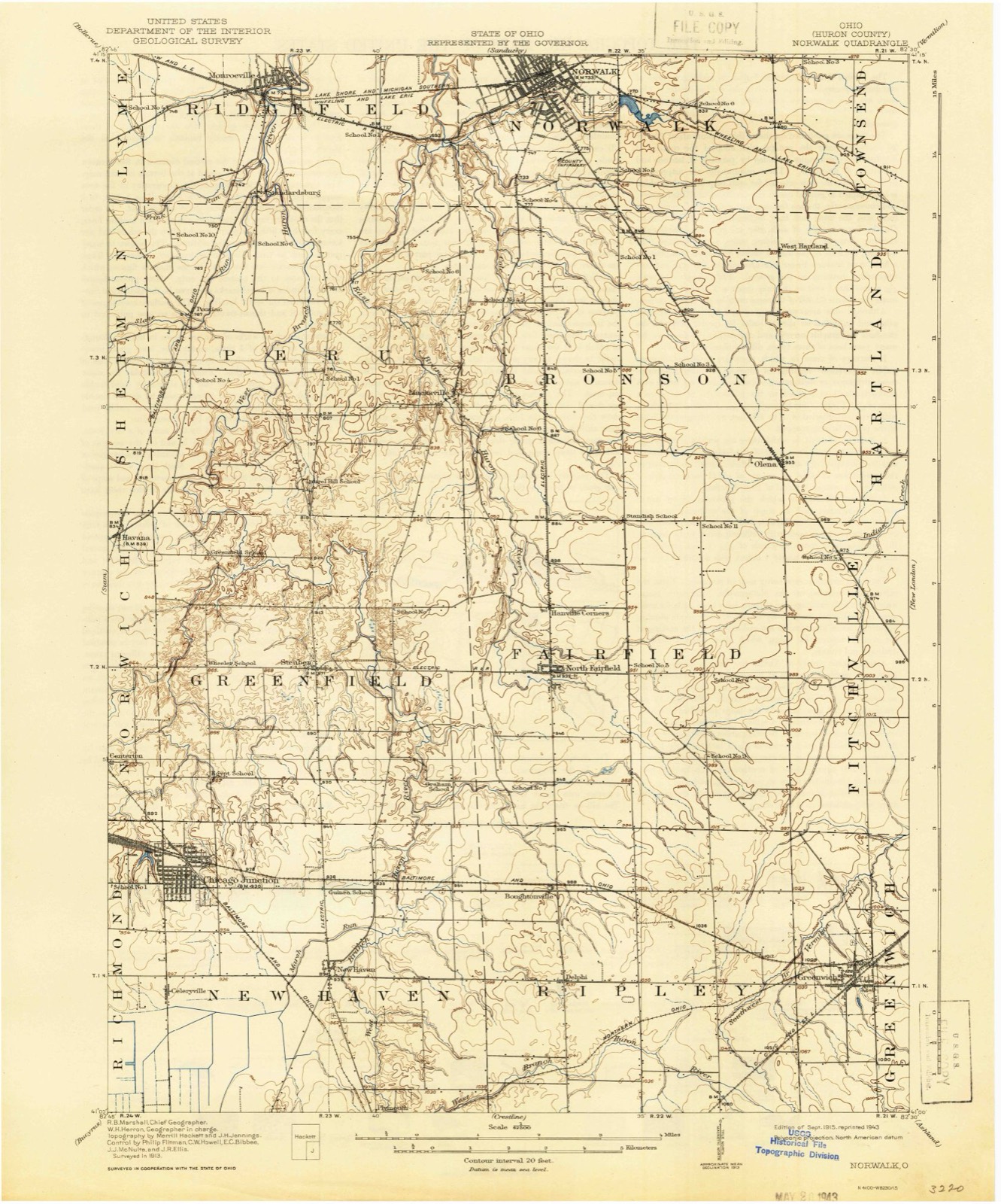
12 topographic sheets cover this place, the earliest surveyed in 1915 and the latest in 1986. It stands in Peru Township. It lies in ZIP code area 44857. The Survey maps it on the Monroeville quadrangle.
Then and now
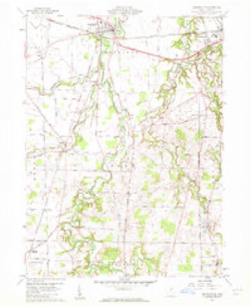
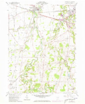
1915 to 1986The same ground, surveyed 71 years apart. Drag the handle to wipe between them. Both sheets are United States Geological Survey originals; neither has been altered.

Topographic sheets covering this place
12 sheetsMatched by testing this settlement's coordinate against the published boundary of every sheet in the United States Geological Survey's historical collection. Each opens the scanned sheet at the Survey.
- 1915 USGS Norwalk quadrangle1:62500
- 1915 USGS Norwalk quadrangle1:62500
- 1944 USGS Norwalk quadrangle1:62500
- 1956 USGS Toledo quadrangle1:250000
- 1956 USGS Toledo quadrangle1:250000
- 1956 USGS Toledo quadrangle1:250000
- 1956 USGS Toledo quadrangle1:250000
- 1960 USGS Monroeville quadrangle1:24000
- 1960 USGS Monroeville quadrangle1:24000
- 1961 USGS Toledo quadrangle1:250000
- 1986 USGS Lorain quadrangle1:100000
- 1986 USGS Lorain quadrangle1:100000







In the county-history sources
1,436 words on this townshipHistory of Huron County Ohio Its Progress and Development, published 1909 names this settlement in its chapter on Peru Township. These are the passages that mention it, exactly as the scans read.
Peru township was in the early settlement called Vredenburgh, after a Mr. Vredenburgh who had bought up the claims of the sufferers until he owned the second, third and fourth sections of the township. The first section was owned by other persons in the east, from whom the first settlers of that section bought their lands.
Passage source: History of Huron County Ohio Its Progress and Development, published 1909.
In the winter of 1820, the settlers held a meeting at the house of Joseph Ruggles, for the purpose of changing the name of the township, when the name of Peru was chosen by vote, and the name of the township has since been Peru.
Passage source: History of Huron County Ohio Its Progress and Development, published 1909.
Its principal stream is the river Huron which, rising in Richland county, enters the township about half a mile east of the southwest corner, runs for the most part a general northeasterly course, and leaves the township on lot eight, section three. The east branch of the Huron has its source in Fairfield, enters Peru from Bronson on lot eighteen, section one, flows a northwesterly direction, and unites with the present stream in the township of Ridgefield, about a mile north of the town line. State run comes into the township from Seneca county, flows a northeasterly course into Ridgefield where it unites with the Huron. The streams afford excellent water power privileges which are more or less improved.
Passage source: History of Huron County Ohio Its Progress and Development, published 1909.
Machine-read from a century-old scan, so expect the errors a machine makes: misspelled names, dropped words, stray characters.
Read the whole chapter on Peru Township - it names this place 5 more 5 times.
Specimens collected near this place
12 of 902 shownRegional context, not property-specific evidence. Museums hold 902 specimens collected within 10 miles of Peru between 1885 and 1975: 507 Plantae, 316 Animalia, 64 Fungi, 15 Protozoa. 12 distinct Species records are shown. Collected by A. P. Morgan, A. Woolman, B Zahuranec & party and others. Each is a physical object with a catalogue number, and each entry opens the museum's record. This is what was collected and kept, not a survey of what lives here - nothing can be concluded from a species being absent.
| Image | Species | Year | Collected by | Where, as recorded |
|---|---|---|---|---|
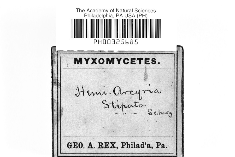 | Hemiarcyria stipata (Schwein.) Rostaf., 1876 | 1885 | A. P. Morgan | Preston |
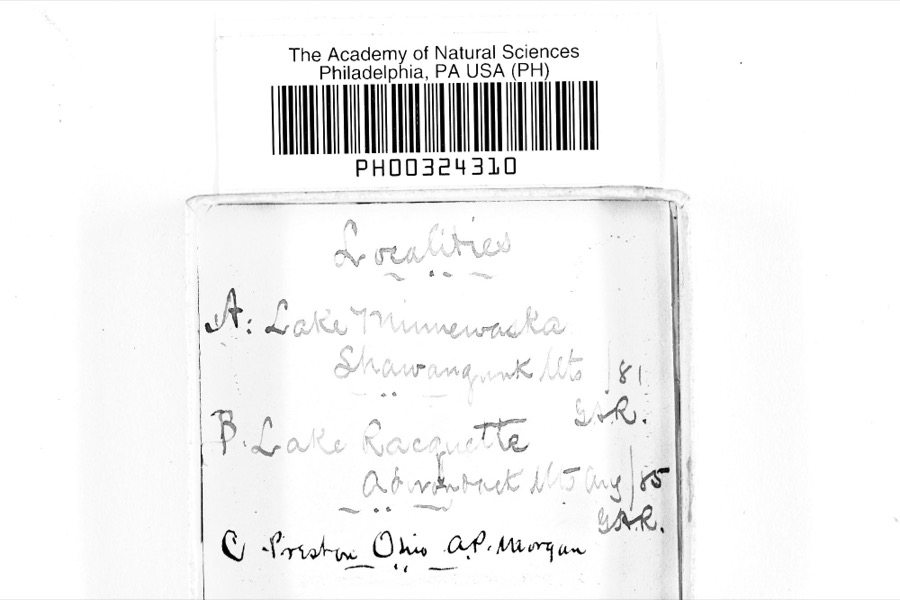 | Physarum inaequale Peck, 1878 | 1885 | A. P. Morgan | Preston |
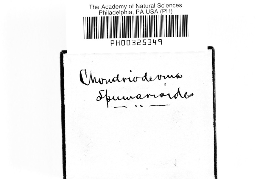 | Chondrioderma spumarioides (Fr. & Palmquist) Rostaf., 1873 | 1886 | A. P. Morgan | Preston |
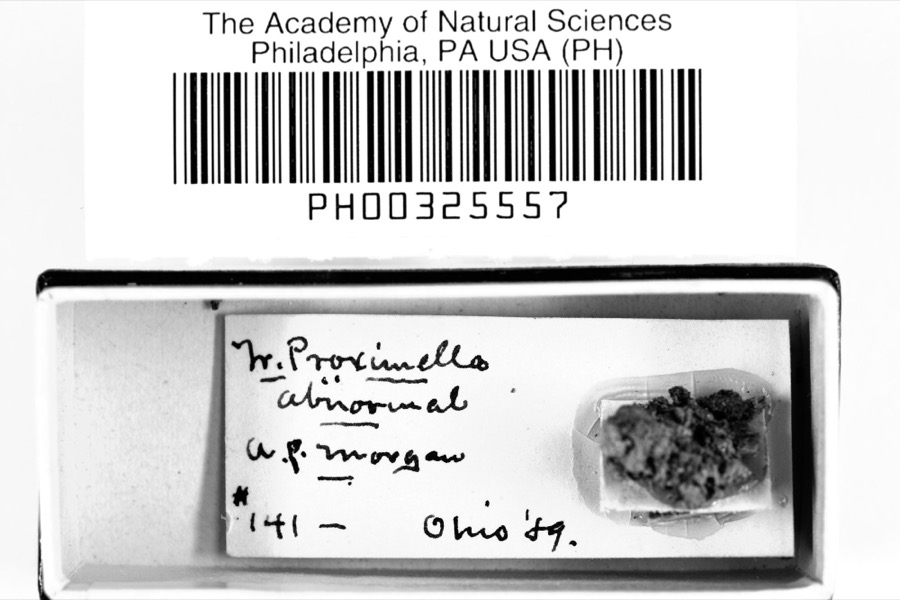 | Trichia proximella P.Karst., 1879 | 1889 | A. P. Morgan | Preston |
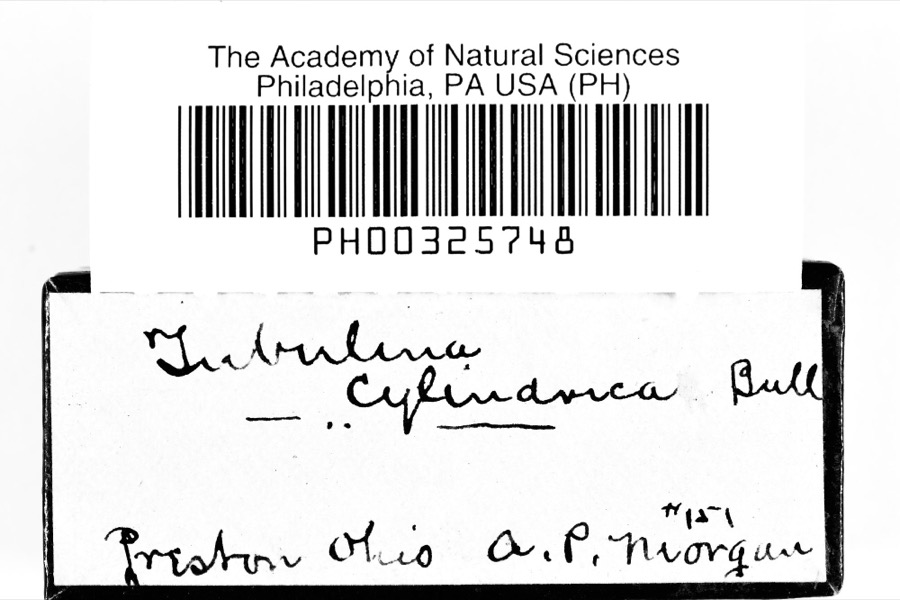 | Tubifera ferruginosa (Batsch) J.F.Gmel., 1792 | 1889 | A. P. Morgan | Preston |
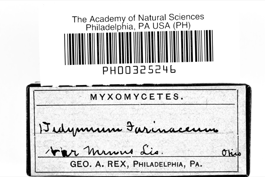 | Didymium melanospermum (Pers.) T.Macbr., 1899 | 1890 | A. P. Morgan | Preston |
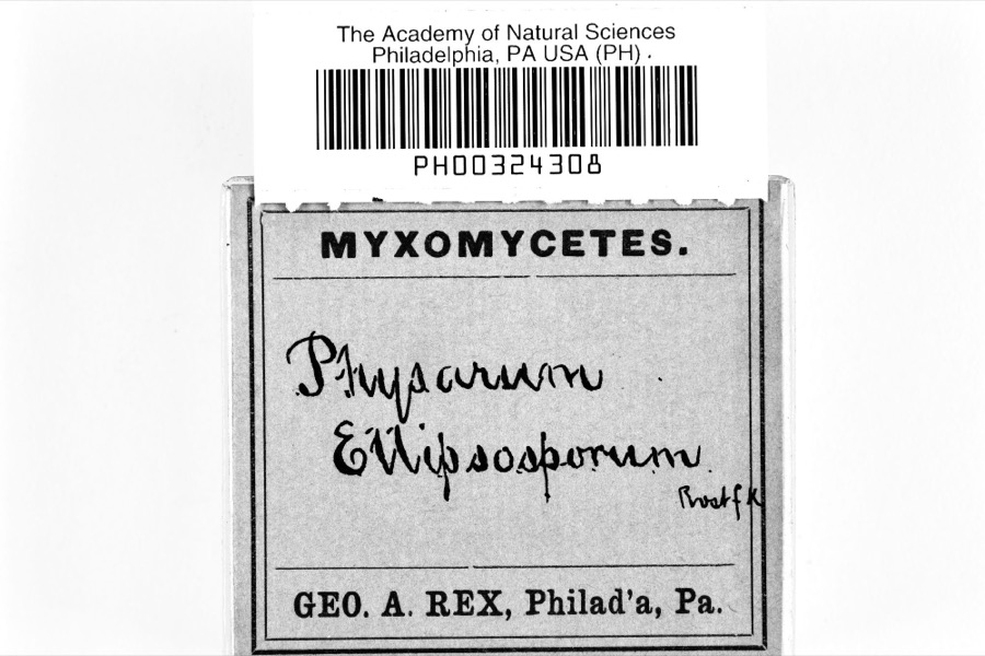 | Physarum ellipsosporum Rostaf., 1876 | 1890 | A. P. Morgan | Preston |
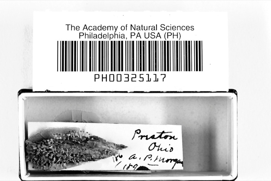 | Physarum relatum Morgan, 1896 | 1890 | A. P. Morgan | Preston |
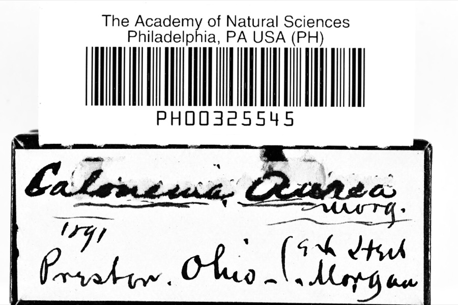 | Calonema aureum Morgan, 1893 | 1891 | A. P. Morgan | Preston |
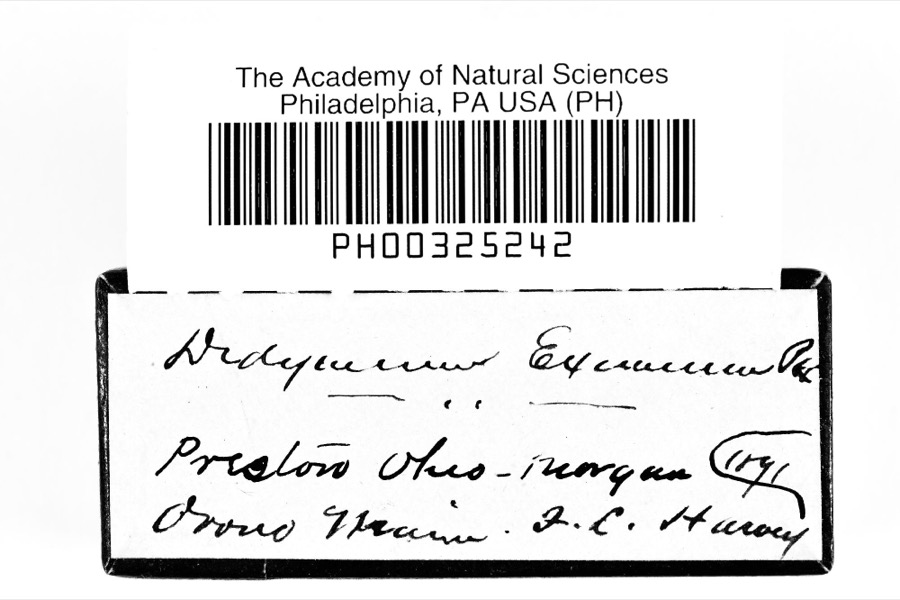 | Didymium eximium Peck, 1878 | 1891 | A. P. Morgan | Preston |
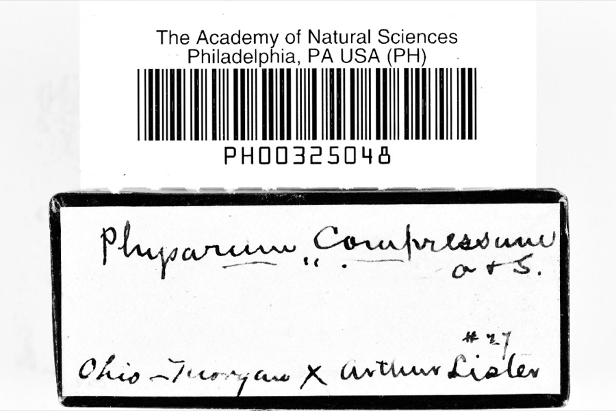 | Physarum compressum Alb. & Schwein., 1805 | 1891 | A. P. Morgan | Preston |
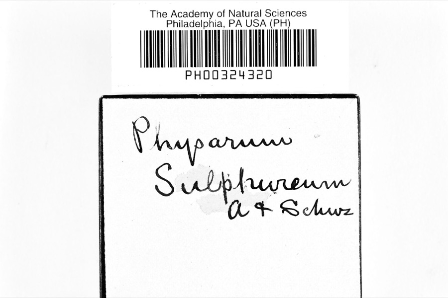 | Physarum sulphureum Alb. & Schwein., 1805 | 1891 | A. P. Morgan | Preston |
All 902 specimens within 10 miles, at the Global Biodiversity Information Facility.
Mines and quarries near this place
6 within 5 milesRegional context, not property-specific evidence. The federal mineral resources record lists 6 workings within 5 miles of Peru: 4 past producers, 2 producers. 2 still produce. What was taken out: Sand and Gravel, Construction, Stone, Crushed/Broken. Distance is straight-line from the map coordinates, so a quarry counted here may appear on a neighbouring settlement's page as well.
| Where | Site | Commodity | Status | Recorded |
|---|---|---|---|---|
| Riley Stone Quarry | Stone, Crushed/Broken | Past Producer | Sedimentary | |
| Riley Stone Quarry | Stone, Crushed/Broken | Past Producer | ||
| Price Sand and Gravel Pit | Sand and Gravel, Construction | Past Producer | Sedimentary | |
| Price Sand and Gravel Pit | Sand and Gravel, Construction | Producer | ||
| Price Sand and Gravel Pit Number 2 | Sand and Gravel, Construction | Past Producer | Sedimentary | |
| Price Sand and Gravel Pit Number 2 | Sand and Gravel, Construction | Producer |
Storms near this place
12 since 2005Regional context, not property-specific evidence. The National Weather Service names Peru in 12 storm reports between 2005 and 2026: 7 thunderstorm wind, 2 tornado, 2 flash flood, 1 hail. No death or injury is recorded in these reports. Each account below is quoted exactly as the forecast office filed it, from the NOAA Storm Events Database, and each date opens the federal record of that event.
| When | Event | Place named | Harm | What the report says |
|---|---|---|---|---|
| June 2019 | Flash Flood | Peru | $500,000 | Heavy rain measuring 2.64 fell over in Norwalk on the afternoon of the 20th, most of which fell between 1 and 4 PM. US 250 and Route 20 flooded south of Norwalk, 4NE North Fairfield Section of Peru Olena Road in Norwalk washed away. |
| November 2017 | Tornado (EF1) | Peru | $200,000 | An EF1 tornado touched down in rural Peru Township south of Norwalk. The initial touchdown occurred along State Route 61 about half way between Hasbrock Road and Peru Hollow Road. Some utility poles and trees were downed in the area. The tornado then continued mainly northeast downing many trees. A large swath of pine trees was leveled along Ridge Road just south of Hasbrock Road. The trees were uprooted or snapped in a convergent pattern. The tornado continued northeast to New State Road where a couple of barns and sheds sustained some roof damage. The tornado then crossed the southern end of a golf course where more downed trees and projectiles were observed. The tornado eventually lifted just south of where Old State Road crosses U.S. Route 250. This tornado was on the ground for just under 3 miles and had a damage path up to 200 yards wide. |
| November 2017 | Thunderstorm Wind | Peru | $50,000 | Thunderstorm wind gusts estimated to be at least 70 mph downed over 100 trees on a single property on Ridge Road south of Norwalk. |
| November 2017 | Thunderstorm Wind | Peru | $35,000 | Thunderstorm winds downed trees south of Monroeville along Terry and Pontiac Section Line Roads. A horse barn on Terry Road was also damaged. |
| June 2023 | Tornado (EF0) | Peru | $5,000 | An EF0 tornado with estimated peak winds of 80 mph impacted portions of Peru Township. The tornado began at the intersection of Hettle and Terry Roads, where a pine tree was uprooted and several large tree branches were snapped. This tornado dissipated after crossing Peru Center Road. |
| July 2005 | Thunderstorm Wind | Peru | $2,000 | A few trees and large limbs were reported down. |
| November 2005 | Thunderstorm Wind | Peru | $1,000 | A few large limbs were reported down. |
| April 2026 | Hail | Peru | - | Hail up to quarter-size in Peru. |
| June 2025 | Thunderstorm Wind | Peru | - | Measured peak straight-line wind gust of 70-mph from a thunderstorm in the Peru area. |
| June 2025 | Thunderstorm Wind | Peru | - | Trees downed near the intersection of OH Route 61 and Hasbrock Road, about four-miles SSW of Norwalk. |
| June 2025 | Thunderstorm Wind | Peru | - | Numerous trees downed about three-miles NNW of North Fairfield. |
| June 2023 | Flash Flood | Peru | - | Widespread road closures due to flash flooding across Peru, Bronson, Fairfield, Greenwich, and Townsend townships in Huron County. U.S. 250 underpass near Greenwich East Townline Road flooded with three feet of water, with a water rescue needed after a car drove into the flooded roadway. Radar estimated 2 to 3 inches of rain fell in a one to one and a half hour period. |
Nearest settlements
The eight closest, with where each one stands in the county. Distances are straight-line, computed from the Geographic Names Information System coordinates.
| Map | Place | Distance | Sheets |
|---|---|---|---|
| Hanville Corners | 3.9 miles | 13 | |
| Pontiac | 4.6 miles | 12 | |
| Standardsburg | 4.7 miles | 12 | |
| North Fairfield | 4.8 miles | 13 | |
| Branchwood Estates | 5.0 miles | 13 | |
| Steuben | 5.1 miles | 13 | |
| Norwalk | 5.2 miles | 12 | |
| Olena | 5.5 miles | 12 |
Provenance
This settlement is recorded in the Geographic Names Information System as feature 1061534. The sheet list is computed by point-in-boundary test against the United States Geological Survey's historical topographic inventory. Both are works of the United States government and carry no copyright under 17 U.S.C. 105.
Specimens. Global Biodiversity Information Facility (GBIF), https://www.gbif.org/. Only records licensed CC0 or CC BY are used. Records licensed CC BY-NC are excluded because this site carries advertising. Images are checked individually and any whose licence is non-commercial, no-derivatives or unreadable is refused.
Mines and quarries. USGS Mineral Resources Data System (MRDS) https://mrdata.usgs.gov/mrds/ A work of the United States government, no copyright under 17 U.S.C. 105.
Storms. NOAA National Centers for Environmental Information, Storm Events Database https://www.ncei.noaa.gov/stormevents/ A work of the United States government, no copyright under 17 U.S.C. 105. Narratives are quoted verbatim from the National Weather Service report and are not edited or summarised.