 Block
Block
Hartland, Ohio
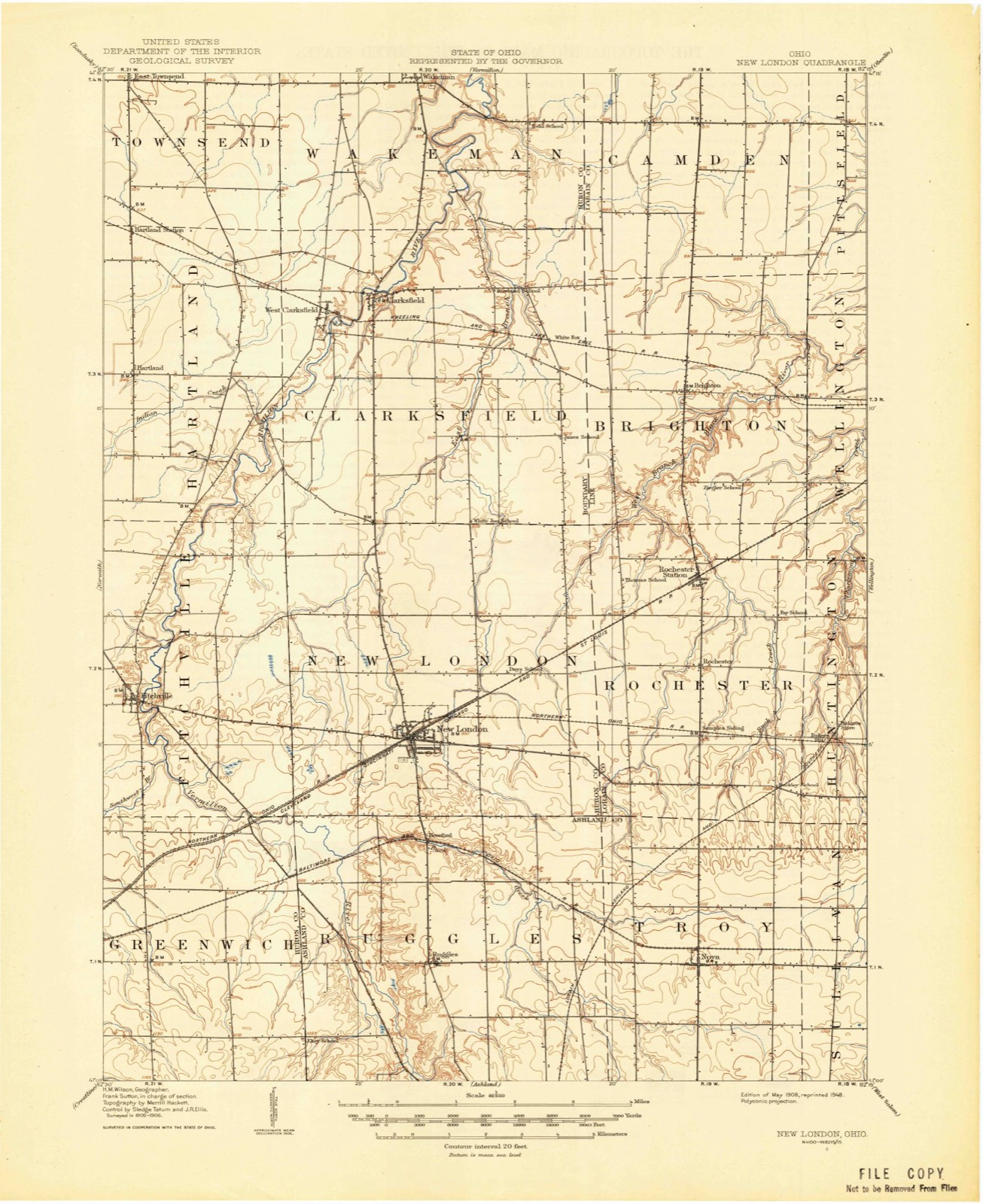
10 topographic sheets cover this place, the earliest surveyed in 1908 and the latest in 1986. It stands in Hartland Township. It lies in ZIP code area 44826. The Survey maps it on the Clarksfield quadrangle.
Then and now
1908 to 1986The same ground, surveyed 78 years apart. Drag the handle to wipe between them. Both sheets are United States Geological Survey originals; neither has been altered.

Topographic sheets covering this place
10 sheetsMatched by testing this settlement's coordinate against the published boundary of every sheet in the United States Geological Survey's historical collection. Each opens the scanned sheet at the Survey.
- 1908 USGS New London quadrangle1:62500
- 1956 USGS Toledo quadrangle1:250000
- 1956 USGS Toledo quadrangle1:250000
- 1956 USGS Toledo quadrangle1:250000
- 1956 USGS Toledo quadrangle1:250000
- 1960 USGS Clarksfield quadrangle1:24000
- 1960 USGS Clarksfield quadrangle1:24000
- 1961 USGS Toledo quadrangle1:250000
- 1986 USGS Lorain quadrangle1:100000
- 1986 USGS Lorain quadrangle1:100000







In the county-history sources
879 words on this townshipHistory of Huron County Ohio Its Progress and Development, published 1909 names this settlement in its chapter on Hartland Township. These are the passages that mention it, exactly as the scans read.
The surface of the township is generally level, though less so in the south and east parts than elsewhere. The soil is a clay loam, modified by gravel and sand along the streams and on the Hartland ridge, which runs a general north and south direction through the second section. There were formerly a number of swamps or marshes in the township, the largest of which were known as Canterbury swamp, Cranberry marsh, Grape swamp and Bear swamp. The first was over two miles in length, varying in width from fifty to one hundred and fifty rods, and lay south east of the center. Cranberry marsh lay north of the center, and contained about one hundred acres. These formerly unsightly places have been more or less reclaimed, and the soil, which is a deep black muck, is the best in the township.
Passage source: History of Huron County Ohio Its Progress and Development, published 1909.
The first sermon preached in Hartland was by the Rev. Lot B. Sullivan, a Congregational home missionary. The first regular religious services were held at the house of Joseph Waldron, in the summer and fall of 1821, at which the Revs. True Pattee and James McIntyre, Methodist circuit preachers, officiated.
Passage source: History of Huron County Ohio Its Progress and Development, published 1909.
After the school house was built, on the ridge, in the fall of 1821, the meetings were held there. There was at this time but one Methodist family in the township. In 1824, a few Free Will Baptist families moved into the township, among which was that of Allen Mead, a preacher of that denomination. They soon after began to hold meetings, and, under the preaching of Méad, Elder Wheeler of Greenfield, and Rev. Mr. Carlton, quite a revival followed, resulting in the organization of a church in Clarksfield, with which the Baptists in Hartland
Passage source: History of Huron County Ohio Its Progress and Development, published 1909.
Machine-read from a century-old scan, so expect the errors a machine makes: misspelled names, dropped words, stray characters.
Read the whole chapter on Hartland Township - it names this place 2 more 2 times.
Specimens collected near this place
12 of 772 shownRegional context, not property-specific evidence. Museums hold 772 specimens collected within 10 miles of Hartland between 1887 and 1975: 485 Plantae, 201 Animalia, 82 Fungi, 3 Unrecorded, 1 Protozoa. 12 distinct Species records are shown. Collected by A. Woolman, B Zahuranec & party, Baumgartner, L. and others. Each is a physical object with a catalogue number, and each entry opens the museum's record. This is what was collected and kept, not a survey of what lives here - nothing can be concluded from a species being absent.
| Image | Species | Year | Collected by | Where, as recorded |
|---|---|---|---|---|
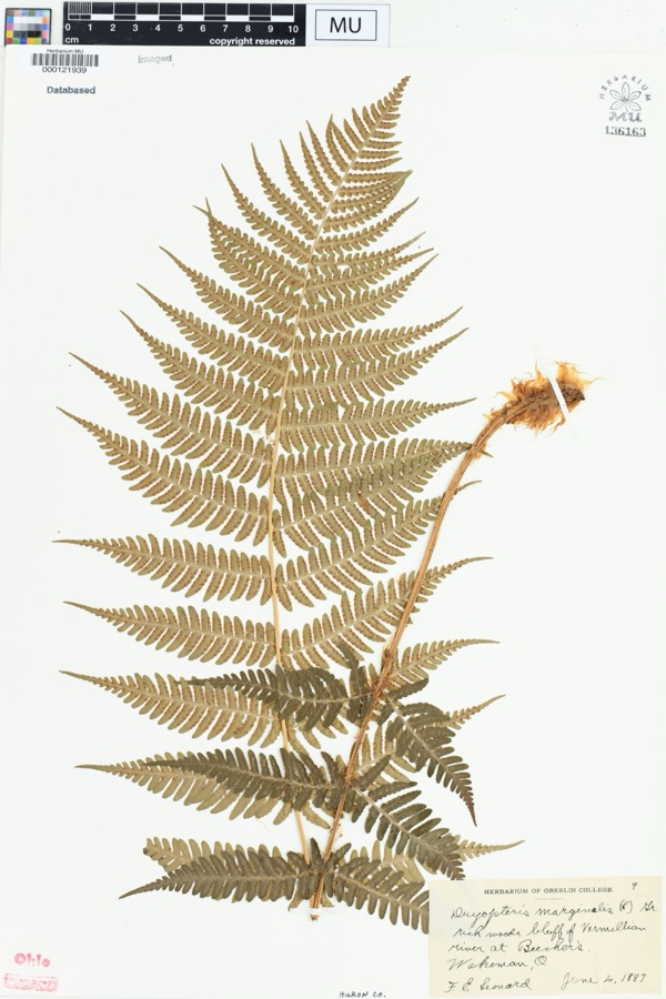 | Dryopteris marginalis (L.) A.Gray | 1887 | Leonard, F.E. | "Rich woods, bluff of Vermillion River at Beecher's. |
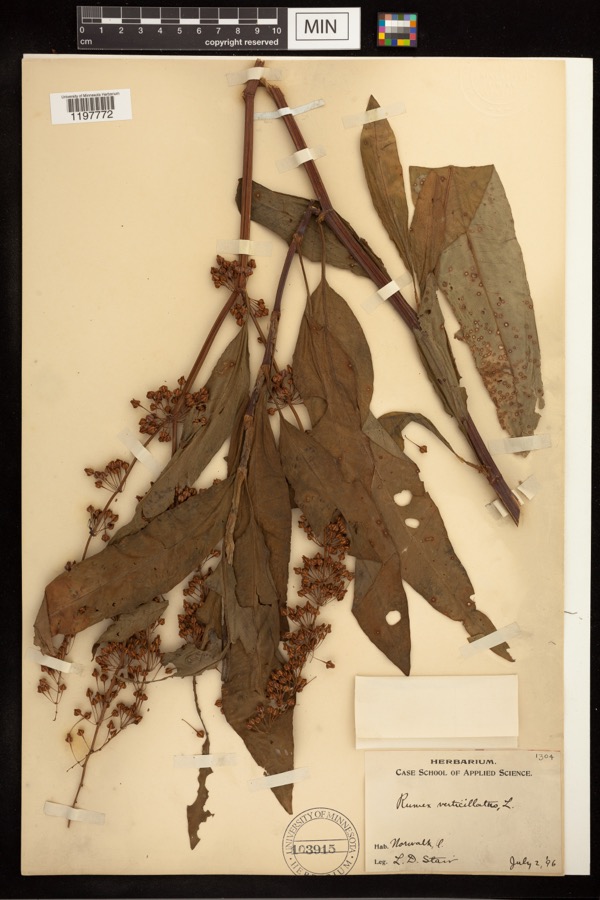 | Rumex verticillatus L. | 1896 | Stair, L. D. | |
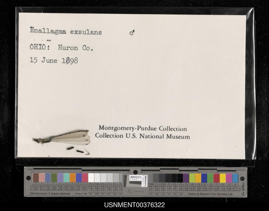 | Enallagma exsulans (Hagen, 1861) | 1898 | [Not Stated] | [Not Stated] |
 | Cephalanthus occidentalis L. | 1888 | Shafer, J.A. | W of Brighton near Cleveland |
 | Chrysemys picta (Schneider, 1783) | 1893 | not recorded | Clarksfield, Vermillion River |
 | Dryopteris carthusiana (Vill.) H.P.Fuchs | 1893 | Collector(s): Edwin Lincoln Moseley | Milan, Huron River |
 | Etheostoma caeruleum Storer, 1845 | 1893 | not recorded | Vermillion River, Clarksfield, Ohio |
 | Etheostoma nigrum Rafinesque, 1820 | 1893 | A. Woolman | Ohio, Wakeman, Vermillion River |
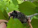 | Gymnosporangium clavipes Cooke & Peck | 1893 | Hall W. B. | Wakeman |
 | Micropterus dolomieu Lacepède, 1802 | 1893 | A. Woolman | Vermillion River, Clarksfield, Ohio |
 | Moxostoma erythrurum (Rafinesque, 1818) | 1893 | A. Woolman | Vermillion River, Clarksfield, Ohio |
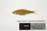 | Notropis chrysocephalus (Rafinesque, 1820) | 1893 | A. Woolman | Ohio, Wakeman, Vermillion River |
All 772 specimens within 10 miles, at the Global Biodiversity Information Facility.
Storms near this place
3 since 1996Regional context, not property-specific evidence. The National Weather Service names Hartland in 3 storm reports between 1996 and 2005: 2 thunderstorm wind, 1 hail. No death or injury is recorded in these reports. Each account below is quoted exactly as the forecast office filed it, from the NOAA Storm Events Database, and each date opens the federal record of that event.
Nearest settlements
The eight closest, with where each one stands in the county. Distances are straight-line, computed from the Geographic Names Information System coordinates.
| Map | Place | Distance | Sheets |
|---|---|---|---|
| Hartland Station | 2.4 miles | 10 | |
| Olena | 3.0 miles | 12 | |
| West Hartland | 3.3 miles | 12 | |
| West Clarksfield | 3.5 miles | 10 | |
| Clarksfield | 4.4 miles | 10 | |
| East Townsend | 5.1 miles | 10 | |
| Fitchville | 5.6 miles | 12 | |
| Collins | 5.7 miles | 14 |
Provenance
This settlement is recorded in the Geographic Names Information System as feature 1064805. The sheet list is computed by point-in-boundary test against the United States Geological Survey's historical topographic inventory. Both are works of the United States government and carry no copyright under 17 U.S.C. 105.
Specimens. Global Biodiversity Information Facility (GBIF), https://www.gbif.org/. Only records licensed CC0 or CC BY are used. Records licensed CC BY-NC are excluded because this site carries advertising. Images are checked individually and any whose licence is non-commercial, no-derivatives or unreadable is refused.
Storms. NOAA National Centers for Environmental Information, Storm Events Database https://www.ncei.noaa.gov/stormevents/ A work of the United States government, no copyright under 17 U.S.C. 105. Narratives are quoted verbatim from the National Weather Service report and are not edited or summarised.