 Block
Block
Olmsted, Ohio
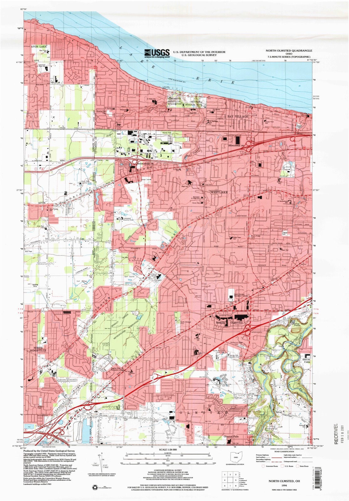
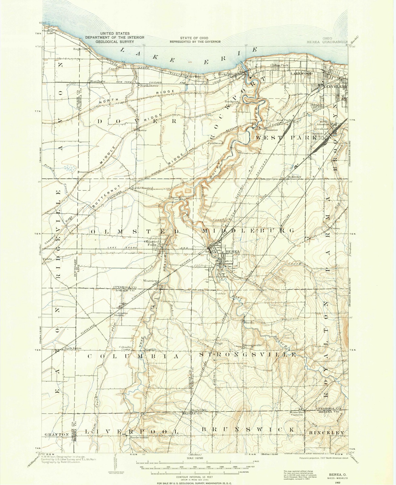
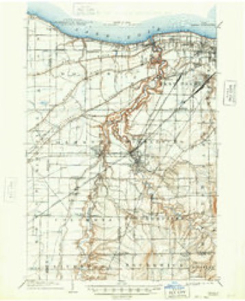
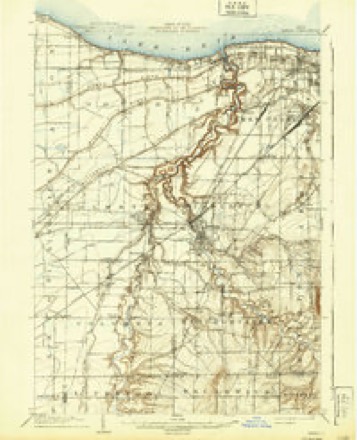
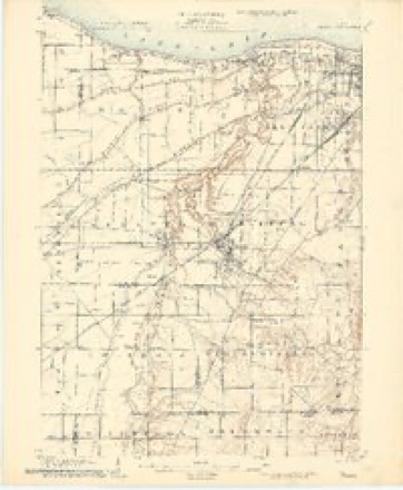
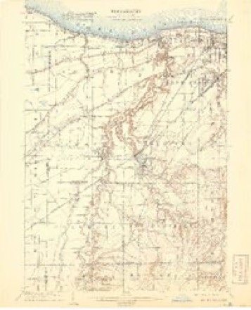
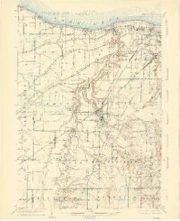
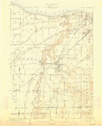
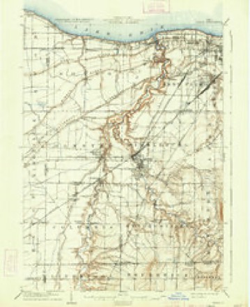
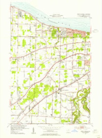
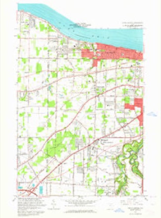
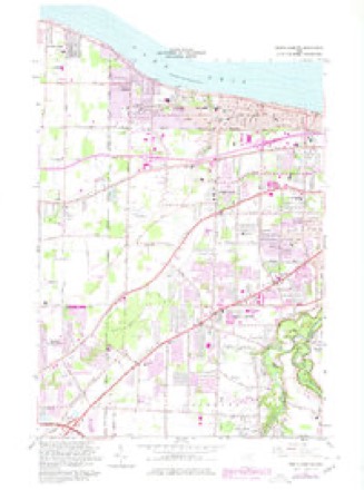
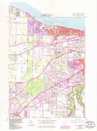
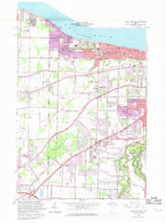
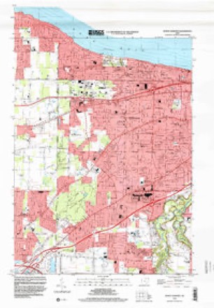
21 topographic sheets cover this place, the earliest surveyed in 1902 and the latest in 1994. It stands in North Olmsted City. It lies in ZIP code area 44070. It stands on East Branch Rocky River. The Survey maps it on the North Olmsted quadrangle.
Then and now
1902 to 1994The same ground, surveyed 92 years apart. Drag the handle to wipe between them. Both sheets are United States Geological Survey originals; neither has been altered.
Compare 1902 against another survey:
Topographic sheets covering this place
21 sheetsMatched by testing this settlement's coordinate against the published boundary of every sheet in the United States Geological Survey's historical collection. Each opens the scanned sheet at the Survey.
- 1902 USGS Berea quadrangle1:62500
- 1902 USGS Berea quadrangle1:62500
- 1904 USGS Berea quadrangle1:62500
- 1904 USGS Berea quadrangle1:62500
- 1904 USGS Berea quadrangle1:62500
- 1904 USGS Berea quadrangle1:62500
- 1904 USGS Berea quadrangle1:62500
- 1904 USGS Berea quadrangle1:62500
- 1904 USGS Berea quadrangle1:62500
- 1953 USGS North Olmsted quadrangle1:24000
- 1956 USGS Cleveland quadrangle1:250000
- 1956 USGS Cleveland quadrangle1:250000
- 1956 USGS Cleveland quadrangle1:250000
- 1962 USGS Cleveland quadrangle1:250000
- 1963 USGS North Olmsted quadrangle1:24000
- 1963 USGS North Olmsted quadrangle1:24000
- 1963 USGS North Olmsted quadrangle1:24000
- 1963 USGS North Olmsted quadrangle1:24000
- 1986 USGS Cleveland South quadrangle1:100000
- 1994 USGS Cleveland South quadrangle1:100000
- 1994 USGS North Olmsted quadrangle1:24000






Specimens collected nearby
12 of 1,068 shownMuseums hold 1,068 specimens collected within 10 miles of Olmsted between 1849 and 1975: 971 Animalia, 62 Plantae, 28 Fungi, 6 Protozoa, 1 Unrecorded. 12 distinct Species records are shown. Collected by A. D. Huryn, A. G. Newhall, A. Hall and others. Each is a physical object with a catalogue number, and each entry opens the museum's record. This is what was collected and kept, not a survey of what lives here - nothing can be concluded from a species being absent.
| Image | Species | Year | Collected by | Where, as recorded |
|---|---|---|---|---|
 | Camptosorus rhizophyllus (L.) Link | 1895 | Ashcraft, G.B. | Berea |
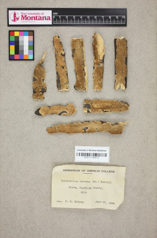 | Irpiciporus lacteus (Fr.) Murrill | 1895 | F. D. Kelsey | Berea. |
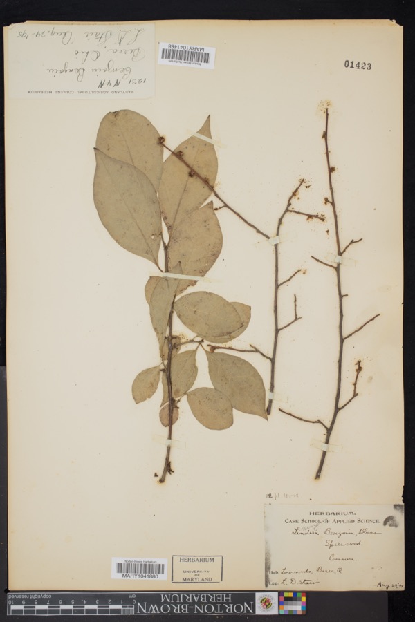 | Lindera benzoin (L.) Blume | 1895 | L.D. Stair | Berea |
 | Setophaga americana (Linnaeus, 1758) | 1849 | Jared P. Kirtland | Rockport |
 | Eremophila alpestris praticola (Henshaw, 1884) | 1877 | A. Hall | East Rockport |
 | Baeolophus bicolor (Linnaeus, 1766) | 1879 | Willard G. Van Name | East Rockport |
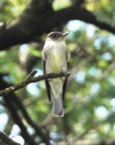 | Contopus virens (Linnaeus, 1766) | 1879 | A. Hull | East Rockport |
 | Setophaga tigrina (J.F.Gmelin, 1789) | 1879 | A. Hall | East Rockport |
 | Astur Lacepède, 1799 | 1880 | A. Hall | East Rockport |
 | Caprimulgus vociferus vociferus A.Wilson, 1812 | 1880 | A. Hall | East Rockport |
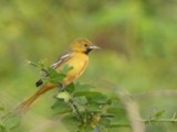 | Icterus spurius (Linnaeus, 1766) | 1880 | A. Hall | East Rockport |
| Calidris alpina (Linnaeus, 1758) | 1890 | Saunders, F.A. | LOCNM: Rondeau |
All 1,068 specimens within 10 miles, at the Global Biodiversity Information Facility.
Storms nearby
37 since 1995The National Weather Service names Olmsted in 37 storm reports between 1995 and 2026: 24 thunderstorm wind, 10 hail, 3 flash flood. No death or injury is recorded in these reports. Each account below is quoted exactly as the forecast office filed it, from the NOAA Storm Events Database, and each date opens the federal record of that event.
| When | Event | Place named | Harm | What the report says |
|---|---|---|---|---|
| August 2023 | Flash Flood | North Olmsted | $750,000 | Extensive flash flooding in North Olmsted, Brooklyn, Brook Park, Parma, and Parma Heights. Widespread basement flooding and road closures. Several underpasses under I-480 inundated with flood waters. A structure collapse was reported in North Olmsted due to the weight of water on the roof. Flooded roadways include Brookpark Road, West Ridgewood Drive, Pleasant Valley Road near York Road, and Sprague Road near West 130th Street. Multiple water rescues reported in this area. Cleveland Metroparks Zoo experienced flood damage due to flooding of Big Creek. The USGS river gage near the zoo on Big Creek rose from 3.8 feet to 12.8 feet in 70 minutes before the gage was knocked out of service by a fallen tree. Radar estimated 1.5 to 2.25 inches of rainfall in less than three hours, with much of the rainfall falling in less than one hour. |
| May 2011 | Thunderstorm Wind | North Olmsted | $500,000 | A thunderstorm downburst caused a path of damage from North Olmsted to Berea to Middleburg Heights. Dozens of trees were downed along the damage path which was intermittent. Some of the downed trees blocked roads, including Interstate 71. Damage occurred at a construction project at the Great Northern Mall in North Olmsted. Thunderstorm winds damaged a food court roof and toppled a section of wall at the mall. Several homes elsewhere along the damage path were damaged by the fallen trees. |
| September 2016 | Thunderstorm Wind | North Olmsted | $200,000 | Thunderstorm winds downed trees and limbs across all of Cuyahoga County resulting in scattered power outages. At the peak of the storm several thousand customers were without power. |
| September 1997 | Flash Flood | North Olmsted | $75,000 | Heavy thunderstorm rain caused flooding of many basements. |
| July 1999 | Thunderstorm Wind | North Olmsted | $40,000 | Many trees and large limbs downed. A 20 foot by 40 foot pavilion at a housing development was also destroyed. |
| August 2024 | Thunderstorm Wind | North Olmsted | $15,000 | Large tree branches downed and damaged garage at residence near Country Club Boulevard and Lorain Road in North Olmsted. |
| May 2009 | Thunderstorm Wind | North Olmsted | $15,000 | Thunderstorm winds downed a large tree limb. The limb knocked some power lines down. |
| July 2003 | Thunderstorm Wind | North Olmsted | $15,000 | A 58 mph thunderstorm wind gust was reported. A few trees were downed. |
| April 2000 | Thunderstorm Wind | North Olmsted | $15,000 | Thunderstorm wind downed two trees in North Olmsted. One of the trees landed on a house, but caused only minor roof damage. |
| March 2022 | Thunderstorm Wind | North Olmsted | $10,000 | Large tree downed onto house on the 5700 block of South Canterbury Road in North Olmsted. Time estimated via radar. |
| June 2010 | Thunderstorm Wind | North Olmsted | $10,000 | Thunderstorm winds downed several trees and large tree limbs. |
| August 2024 | Thunderstorm Wind | North Olmsted | $7,500 | Telephone pole downed near corner of Brookpark Road Extension and Lorain Road in North Olmsted. |
| July 2006 | Thunderstorm Wind | North Olmsted | $6,000 | Several trees were reported down. |
| April 2011 | Hail | North Olmsted | $5,000 | Thunderstorms produced a swath of pea to nickel size hail. |
| July 2002 | Thunderstorm Wind | North Olmsted | $5,000 | Thunderstorm winds downed large trees in North Olmsted and North Royalton. |
| July 2003 | Hail | North Olmsted | $2,000 | Nickel size hail was observed. |
| March 2026 | Thunderstorm Wind | North Olmsted | - | Trees downed in North Olmsted. |
| June 2025 | Thunderstorm Wind | North Olmsted | - | Large tree limbs downed in North Olmsted. |
| May 2025 | Thunderstorm Wind | North Olmsted | - | Large tree limb downed about two-miles southwest of North Olmsted. |
| August 2024 | Thunderstorm Wind | North Olmsted | - | Large tree downed near Cottonwood Trail and Dover Center Road, and another downed along Ashbury Park Drive in North Olmsted. |
| August 2024 | Thunderstorm Wind | North Olmsted | - | Nine-inch-diameter tree downed near intersection of Stearns Road and Lorain Road in North Olmsted. |
| August 2024 | Thunderstorm Wind | North Olmsted | - | Large tree snapped at its base and other tree limbs downed along Porter Road, between Midvale and Southern Avenues in North Olmsted. |
| July 2023 | Hail | North Olmsted | - | Hail up to quarter-size in North Olmsted. |
| July 2023 | Thunderstorm Wind | North Olmsted | - | Trees downed in North Olmsted. |
| July 2023 | Thunderstorm Wind | North Olmsted | - | Power pole downed at corner of Sparky Lane and Lorain Road in North Olmsted. This damage was caused by the outflow-dominant portion of a line of thunderstorms. |
| November 2020 | Thunderstorm Wind | North Olmsted | - | Tree down across Fitch Road, near John Road, in Olmsted Township. |
| May 2013 | Thunderstorm Wind | North Olmsted | - | Thunderstorm winds downed a large tree limb. |
| May 2011 | Hail | North Olmsted | - | Thunderstorms produced quarter size hail. |
| June 2008 | Hail | North Olmsted | - | Hail ranging in size from penny to nickel size was observed. |
| August 2008 | Hail | North Olmsted | - | Nickel size hail was observed. |
| May 2004 | Hail | North Olmsted | - | Nickel size hail was observed. |
| May 2001 | Flash Flood | North Olmsted | - | Thunderstorms dumped between one and two inches of rain in less than 90 minutes. The heavy rain caused the Rocky River to leave its banks in North Olmsted. A car became stuck in the flood waters and two people in the car had to be rescued by firefighters. |
| May 2000 | Hail | North Olmsted | - | no account filed |
| October 1999 | Hail | North Olmsted | - | no account filed |
| May 1998 | Hail | North Olmsted | - | no account filed |
| June 1996 | Thunderstorm Wind | North Olmsted | - | no account filed |
| September 1995 | Thunderstorm Wind | North Olmsted | - | no account filed |
Nearest settlements
The eight closest, with where each one stands in the county. Distances are straight-line, computed from the Geographic Names Information System coordinates.
| Map | Place | Distance | Sheets |
|---|---|---|---|
| North Olmsted | 1.5 miles | 21 | |
| Columbia Park | 1.6 miles | 21 | |
| Rosewood Estates | 2.1 miles | 21 | |
| Parkview | 2.1 miles | 21 | |
| Olmsted Falls | 2.3 miles | 21 | |
| Rustic Woods | 2.4 miles | 21 | |
| Courtland Meadows | 2.4 miles | 21 | |
| Sterling Ridge | 2.5 miles | 21 |
Provenance
This settlement is recorded in the Geographic Names Information System as feature 1057007. The sheet list is computed by point-in-boundary test against the United States Geological Survey's historical topographic inventory. Both are works of the United States government and carry no copyright under 17 U.S.C. 105.
Specimens. Global Biodiversity Information Facility (GBIF), https://www.gbif.org/. Only records licensed CC0 or CC BY are used. Records licensed CC BY-NC are excluded because this site carries advertising. Images are checked individually and any whose licence is non-commercial, no-derivatives or unreadable is refused.
Storms. NOAA National Centers for Environmental Information, Storm Events Database https://www.ncei.noaa.gov/stormevents/ A work of the United States government, no copyright under 17 U.S.C. 105. Narratives are quoted verbatim from the National Weather Service report and are not edited or summarised.