 Block
Block
Ottoville, Ohio
13 topographic sheets cover this place, the earliest surveyed in 1911 and the latest in 1986. It stands in Monterey Township. It lies in ZIP code area 45876. The Survey maps it on the Ottoville quadrangle. 966 people lived here at the 2020 count. It stands 738 feet above sea level.
Population over time
2 figuresOttoville fell from 976 to 966 between 2010 and 2020. These are the recorded population figures Wikidata holds for this place, reached through the Geographic Names Information System number this page is keyed on rather than by name, so they belong to this place and not to another of the same name. Most are census counts, but not all are: an early figure may be a founding or settlement estimate. The change column is computed, and is left blank where more than 20 years separate a figure from the one before it, because a gap that long is not a change between two counts.
| Year | People | Change |
|---|---|---|
| 2010 | 976 | |
| 2020 | 966 | -10 (-1%) |
Then and now
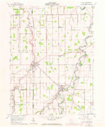
1911 to 1986The same ground, surveyed 75 years apart. Drag the handle to wipe between them. Both sheets are United States Geological Survey originals; neither has been altered.

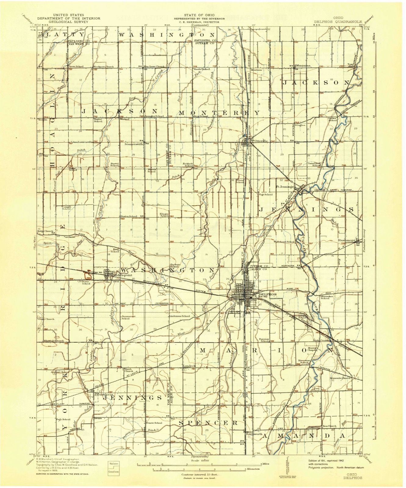
Topographic sheets covering this place
13 sheetsMatched by testing this settlement's coordinate against the published boundary of every sheet in the United States Geological Survey's historical collection. Each opens the scanned sheet at the Survey.
- 1911 USGS Delphos quadrangle1:62500
- 1944 USGS Delphos quadrangle1:62500
- 1953 USGS Muncie quadrangle1:250000
- 1953 USGS Muncie quadrangle1:250000
- 1953 USGS Muncie quadrangle1:250000
- 1953 USGS Muncie quadrangle1:250000
- 1953 USGS Muncie quadrangle1:250000
- 1956 USGS Muncie quadrangle1:250000
- 1960 USGS Ottoville quadrangle1:24000
- 1960 USGS Ottoville quadrangle1:24000
- 1986 USGS Lima quadrangle1:100000
- 1986 USGS Lima quadrangle1:100000
- 1986 USGS Lima quadrangle1:100000









In the county-history sources
1,297 words on this townshipHistory of Putnam County, Ohio : Its Peoples, Industries, and Institutions, published 1915 names this settlement in its chapter on Monterey Township. These are the passages that mention it, exactly as the scans read.
There is only one town in Monterey township, Ottoville. The platting of Ottoville has had some marked and varied changes, as shown by the records for those acts. In 1845, Elias Everett, county surveyor, platted for John Otto Bredeick a parcel of land in the northeast corner of section 30. This survey was abandoned, however, and the land was again surveyed by Charles Wannemacher in 1873.
Passage source: History of Putnam County, Ohio : Its Peoples, Industries, and Institutions, published 1915.
In 1863 Samuel Parker, county surveyor, laid out that part of the original town plot lying in section 19 for Christ Martin. This survey has been changed somewhat since that time. In 1865 F. J. Lye, with the services of George Skinner, surveyor, laid out an addition west of the canal in section 30. In 1874 Peter Wannemacher laid out an addition to Ottoville in section 25 and in 1883 Aaron Overbeck, surveyor, at the instance of Richard Gilmour, bishop of Cleveland, Ohio, resurveyed all that part of the town originally laid out in section 19. The same survey platted an addition in section 19 for Max Winkleman during the year 1892. In 1894 Peter Wannemacher had another addition platted by D. W. Seitz, surveyor.
Passage source: History of Putnam County, Ohio : Its Peoples, Industries, and Institutions, published 1915.
In the fall of 1914, the town of Ottoville completed arrangements with the Electric Light and Power Company, of Delphos, Ohio, whereby the latter company agreed to furnish electric current for Ottoville at a definite rate. Delphos brought the current to the corporation line of Ottoville and then the latter wired it to its consumers in the town. The town has spent five thousand dollars in wiring, poles, meters, transformers, etc., and, although the first year has not yet passed, Ottoville already has one hundred and one consumers of light service and two consumers of power. The town operates twenty-five incandescent street lights, ranging in power from one hundred to two hundred and fifty kilowatts.
Passage source: History of Putnam County, Ohio : Its Peoples, Industries, and Institutions, published 1915.
Machine-read from a century-old scan, so expect the errors a machine makes: misspelled names, dropped words, stray characters.
Read the whole chapter on Monterey Township - it names this place 3 more 3 times.
Specimens collected near this place
12 of 86 shownRegional context, not property-specific evidence. Museums hold 86 specimens collected within 10 miles of Ottoville between 1893 and 1969: 86 Animalia. 12 distinct Species records are shown. Collected by P. Kirsch, Philadelphia Academy of Natural Sciences, R. Rhoades & C. Clark and others. Each is a physical object with a catalogue number, and each entry opens the museum's record. This is what was collected and kept, not a survey of what lives here - nothing can be concluded from a species being absent.
| Image | Species | Year | Collected by | Where, as recorded |
|---|---|---|---|---|
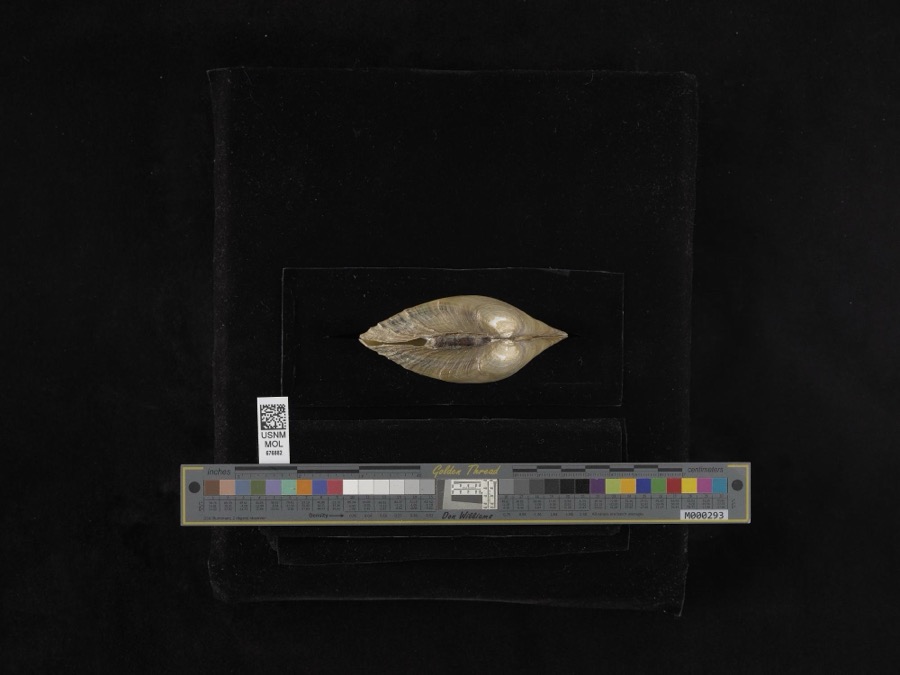 | Lampsilis ventricosa (Barnes, 1823) | 1893 | not recorded | Blanchard River |
 | Cambarus rusticus Girard, 1852 | 1893 | P. Kirsch | Sugar Creek, Cloverdale |
 | Lithobates pipiens (Schreber, 1782) | 1893 | not recorded | Cloverdale, Auglaize River |
 | Noturus flavus Rafinesque, 1818 | 1893 | P. Kirsch | Auglaize River, Cloverdale, Ohio |
 | Orconectes rusticus (Girard, 1852) | 1939 | R. Rhoades & C. Clark | Jennings Creek on SR 116 |
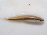 | Fundulus notatus (Rafinesque, 1820) | 1940 | Rhoades, R. (Randall) | Little Auglaize River, within Paulding Co, Paulding County, township n/a |
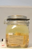 | Orconectes immunis (Hagen, 1870) | 1940 | R. Rhoades & C. Clark | Little Auglaize River, 2 miles South of Mandale |
 | Ambloplites rupestris (Rafinesque, 1817) | 1941 | Trautman, M. B. (Milton Bernard) & Wascko, H. L. (Harold L.) | Auglaize River, Sec 21 of Perry township, ~1.1 mi E of Cloverdale, Perry township |
 | Campostoma anomalum pullum (Agassiz, 1854) | 1941 | Trautman, M. B. (Milton Bernard) & Wascko, H. L. (Harold L.) | Auglaize River, Sec 21 of Perry township, ~1.1 mi E of Cloverdale, Perry township |
 | Cyprinus carpio Linnaeus, 1758 | 1941 | Trautman, M. B. (Milton Bernard) & Wascko, H. L. (Harold L.) | Auglaize River, Sec 21 of Perry township, ~1.1 mi E of Cloverdale, Perry township |
 | Dorosoma cepedianum (Lesueur, 1818) | 1941 | Trautman, M. B. (Milton Bernard) & Wascko, H. L. (Harold L.) | Auglaize River, Sec 21 of Perry township, ~1.1 mi E of Cloverdale, Perry township |
 | Etheostoma blennioides blennioides Rafinesque, 1819 | 1941 | Trautman, M. B. (Milton Bernard) & Wascko, H. L. (Harold L.) | Auglaize River, Sec 21 of Perry township, ~1.1 mi E of Cloverdale, Perry township |
All 86 specimens within 10 miles, at the Global Biodiversity Information Facility.
Mines and quarries near this place
2 within 5 milesRegional context, not property-specific evidence. The federal mineral resources record lists 2 workings within 5 miles of Ottoville: 1 past producer, 1 plant. 1 still produces. What was taken out: Clay. Distance is straight-line from the map coordinates, so a quarry counted here may appear on a neighbouring settlement's page as well.
| Where | Site | Commodity | Status | Recorded |
|---|---|---|---|---|
| Miller Brothers Clay Pit | Clay | Past Producer | Sedimentary | |
| Miller Brothers Clay Works | Clay | Plant |
Storms near this place
10 since 1998Regional context, not property-specific evidence. The National Weather Service names Ottoville in 10 storm reports between 1998 and 2025: 5 hail, 4 thunderstorm wind, 1 tornado. No death or injury is recorded in these reports. Each account below is quoted exactly as the forecast office filed it, from the NOAA Storm Events Database, and each date opens the federal record of that event.
| When | Event | Place named | Harm | What the report says |
|---|---|---|---|---|
| June 1998 | Thunderstorm Wind | Ottoville | $100,000 | 60 MPH WIND GUSTS REPORTED ACROSS COUNTY. NUMEROUS LARGE TREES AND LIMBS WERE BLOWN DOWN WITH DAMAGE TO VEHICLES AND HOUSES. |
| April 2025 | Thunderstorm Wind | Ottoville | $20,000 | Part of a barn was reported in the roadway on SR 66 south of Ottoville. |
| May 2007 | Thunderstorm Wind | Ottoville | $10,000 | Trees and power lines were reported in Ottoville. |
| May 2005 | Thunderstorm Wind | Ottoville | $7,500 | Metal grain bin rolled and wrapped around a pole. |
| March 2024 | Hail | Ottoville | $1,000 | no account filed |
| April 2025 | Tornado (EF1) | Ottoville | - | A tornado touched down on the south side of Van Wert, OH where a barn was destroyed on US 127 south of Peter Collins Rd. The tornado continued to the northeast through open fields. Tree and shingle damage was then noted on Middle Point Rd near the intersection with SR 116 where the tornado completely destroyed a two-story barn structure. The tornado might have briefly skipped as it traversed to the northeast before causing noticeable damage on Lincoln Hwy. The tornado then caused some minor damage to a deer farm before destroying a pole barn. After crossing into Putnam county north of the intersection of US 224 and Bockey Rd. the last noticeable damage occurred just northwest of Ottoville. As this tornado dissipated, another tornado formed off just to its north. The total track across the two counties was 15.6 miles with maximum winds of 95 mph. |
| March 2009 | Hail | Ottoville | - | The Ottoville Fire Department reported penny size hail covering the ground. |
| May 2013 | Hail | Ottoville | - | no account filed |
| June 2008 | Hail | Ottoville | - | no account filed |
| October 2001 | Hail | Ottoville | - | no account filed |
Nearest settlements
The eight closest, with where each one stands in the county. Distances are straight-line, computed from the Geographic Names Information System coordinates.
| Map | Place | Distance | Sheets |
|---|---|---|---|
| Country Manor Estates | 1.9 miles | 13 | |
| Douglas | 2.1 miles | 13 | |
| Fort Jennings | 2.9 miles | 13 | |
| Montana (historical) | 3.0 miles | 13 | |
| Muntanna | 3.6 miles | 13 | |
| Huntstown (historical) | 5.4 miles | 12 | |
| Rushmore | 6.1 miles | 14 | |
| East Mandale | 6.3 miles | 12 |
Elsewhere
Matched on this settlement's Geographic Names Information System number rather than its name, so it cannot be a different place of the same name in another state.
| Wikipedia article on Ottoville | An encyclopaedic summary. Its text is share-alike, so it is linked here rather than copied. |
| Wikidata item Q2672557 | The structured record the population and elevation above come from. Public domain (CC0). |
Provenance
This settlement is recorded in the Geographic Names Information System as feature 1070885. The sheet list is computed by point-in-boundary test against the United States Geological Survey's historical topographic inventory. Both are works of the United States government and carry no copyright under 17 U.S.C. 105.
Specimens. Global Biodiversity Information Facility (GBIF), https://www.gbif.org/. Only records licensed CC0 or CC BY are used. Records licensed CC BY-NC are excluded because this site carries advertising. Images are checked individually and any whose licence is non-commercial, no-derivatives or unreadable is refused.
Mines and quarries. USGS Mineral Resources Data System (MRDS) https://mrdata.usgs.gov/mrds/ A work of the United States government, no copyright under 17 U.S.C. 105.
Storms. NOAA National Centers for Environmental Information, Storm Events Database https://www.ncei.noaa.gov/stormevents/ A work of the United States government, no copyright under 17 U.S.C. 105. Narratives are quoted verbatim from the National Weather Service report and are not edited or summarised.