 Block
Block
Douglas, Ohio
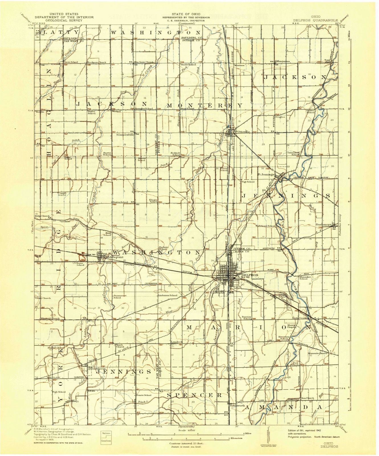
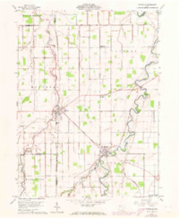
13 topographic sheets cover this place, the earliest surveyed in 1911 and the latest in 1986. It stands in Jackson Township. It lies in ZIP code area 45844. The Survey maps it on the Ottoville quadrangle.
Then and now
1911 to 1986The same ground, surveyed 75 years apart. Drag the handle to wipe between them. Both sheets are United States Geological Survey originals; neither has been altered.

Topographic sheets covering this place
13 sheetsMatched by testing this settlement's coordinate against the published boundary of every sheet in the United States Geological Survey's historical collection. Each opens the scanned sheet at the Survey.
- 1911 USGS Delphos quadrangle1:62500
- 1944 USGS Delphos quadrangle1:62500
- 1953 USGS Muncie quadrangle1:250000
- 1953 USGS Muncie quadrangle1:250000
- 1953 USGS Muncie quadrangle1:250000
- 1953 USGS Muncie quadrangle1:250000
- 1953 USGS Muncie quadrangle1:250000
- 1956 USGS Muncie quadrangle1:250000
- 1960 USGS Ottoville quadrangle1:24000
- 1960 USGS Ottoville quadrangle1:24000
- 1986 USGS Lima quadrangle1:100000
- 1986 USGS Lima quadrangle1:100000
- 1986 USGS Lima quadrangle1:100000









In the county-history sources
470 words on this townshipHistory of Putnam County, Ohio : Its Peoples, Industries, and Institutions, published 1915 names this settlement in its chapter on Jackson Township. These are the passages that mention it, exactly as the scans read.
Jackson township, although ranking among the best townships in the county, does not have any large towns within its limits. Muntana is situated on the Cloverleaf railroad, three miles south of Cloverdale. It was surveyed and platted in 1881 by George Skinner, surveyor for George H. Calkins. It bears the distinction of being the first town laid out in this township. Huntstown is another town of about the same strength as Muntana and situated just two miles north of it. Huntstown was platted and laid out in 1883 by Samuel Starkey and also lies on the Clover Leaf railroad. Douglas is the third town in the township and finishes the list. This town was never platted, at least no record can be found in the plat book, and at present is the site for the Odenweller Milling Company. These towns, although small, draw from the rich farming community in this county and in time may prove quite important commercial centers.
Passage source: History of Putnam County, Ohio : Its Peoples, Industries, and Institutions, published 1915.
Machine-read from a century-old scan, so expect the errors a machine makes: misspelled names, dropped words, stray characters.
Specimens collected near this place
12 of 88 shownRegional context, not property-specific evidence. Museums hold 88 specimens collected within 10 miles of Douglas between 1893 and 1969: 88 Animalia. 12 distinct Species records are shown. Collected by P. Kirsch, Philadelphia Academy of Natural Sciences, R. Rhoades & C. Clark and others. Each is a physical object with a catalogue number, and each entry opens the museum's record. This is what was collected and kept, not a survey of what lives here - nothing can be concluded from a species being absent.
| Image | Species | Year | Collected by | Where, as recorded |
|---|---|---|---|---|
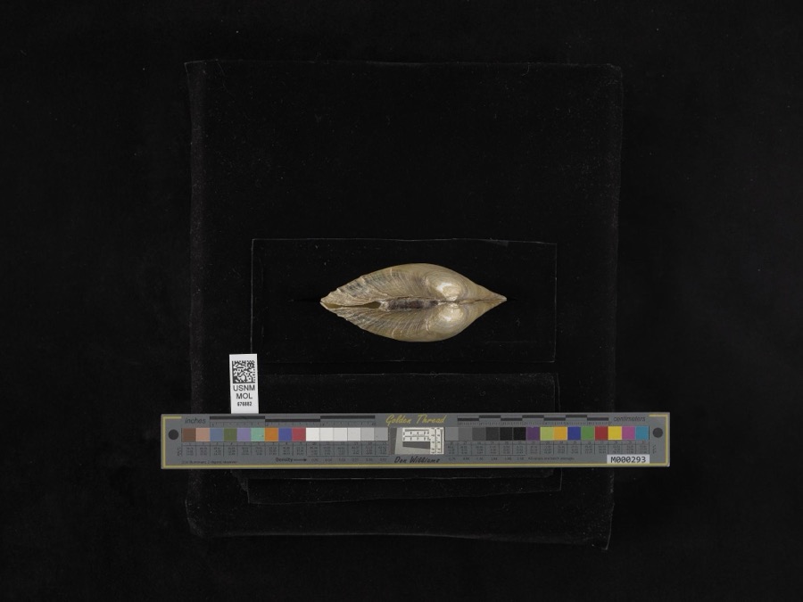 | Lampsilis ventricosa (Barnes, 1823) | 1893 | not recorded | Blanchard River |
 | Cambarus rusticus Girard, 1852 | 1893 | P. Kirsch | Sugar Creek, Cloverdale |
 | Chrysemys picta (Schneider, 1783) | 1893 | not recorded | Cloverdale, Sugar Creek |
 | Lithobates pipiens (Schreber, 1782) | 1893 | not recorded | Cloverdale, Sugar Creek |
 | Noturus flavus Rafinesque, 1818 | 1893 | P. Kirsch | Auglaize River, Cloverdale, Ohio |
 | Orconectes rusticus (Girard, 1852) | 1939 | R. Rhoades & C. Clark | Jennings Creek on SR 116 |
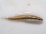 | Fundulus notatus (Rafinesque, 1820) | 1940 | Rhoades, R. (Randall) | Little Auglaize River, within Paulding Co, Paulding County, township n/a |
 | Orconectes immunis (Hagen, 1870) | 1940 | R. Rhoades & C. Clark | Little Auglaize River, 2 miles South of Mandale |
 | Ambloplites rupestris (Rafinesque, 1817) | 1941 | Trautman, M. B. (Milton Bernard) & Wascko, H. L. (Harold L.) | Auglaize River, Sec 21 of Perry township, ~1.1 mi E of Cloverdale, Perry township |
 | Campostoma anomalum pullum (Agassiz, 1854) | 1941 | Trautman, M. B. (Milton Bernard) & Wascko, H. L. (Harold L.) | Auglaize River, Sec 21 of Perry township, ~1.1 mi E of Cloverdale, Perry township |
 | Cyprinus carpio Linnaeus, 1758 | 1941 | Trautman, M. B. (Milton Bernard) & Wascko, H. L. (Harold L.) | Auglaize River, Sec 21 of Perry township, ~1.1 mi E of Cloverdale, Perry township |
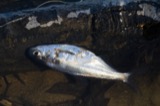 | Dorosoma cepedianum (Lesueur, 1818) | 1941 | Trautman, M. B. (Milton Bernard) & Wascko, H. L. (Harold L.) | Auglaize River, Sec 21 of Perry township, ~1.1 mi E of Cloverdale, Perry township |
All 88 specimens within 10 miles, at the Global Biodiversity Information Facility.
Mines and quarries near this place
2 within 5 milesRegional context, not property-specific evidence. The federal mineral resources record lists 2 workings within 5 miles of Douglas: 1 past producer, 1 plant. 1 still produces. What was taken out: Clay. Distance is straight-line from the map coordinates, so a quarry counted here may appear on a neighbouring settlement's page as well.
| Where | Site | Commodity | Status | Recorded |
|---|---|---|---|---|
| Miller Brothers Clay Pit | Clay | Past Producer | Sedimentary | |
| Miller Brothers Clay Works | Clay | Plant |
Storms near this place
1 since 2013Regional context, not property-specific evidence. The National Weather Service names Douglas in 1 storm report between 2013 and 2013: 1 tornado. No death or injury is recorded in these reports. Each account below is quoted exactly as the forecast office filed it, from the NOAA Storm Events Database, and each date opens the federal record of that event.
| When | Event | Place named | Harm | What the report says |
|---|---|---|---|---|
| November 2013 | Tornado (EF1) | Douglas | - | Damage consistent with a tornado, eventually reaching EF2 intensity, was found by a NWS survey team. The tornado touched down at a residence on Township Road 0, west of County Road 27 where a barn suffered some structural damage, with several hay wagons thrown or moved. The tornado continued rapidly northeast, impacting another barn on Route 66, north of Road N. The barn suffered more extensive damage with both wood rafters and lots of roof sheeting being torn off (DI: SBO DOD: 5) and carried through a field for nearly a mile. Maximum wind speeds were likely around 95 mph as the tornado crossed the Putnam/Paulding county line near the intersection of Road 12 and Road 25m. |
Nearest settlements
The eight closest, with where each one stands in the county. Distances are straight-line, computed from the Geographic Names Information System coordinates.
| Map | Place | Distance | Sheets |
|---|---|---|---|
| Country Manor Estates | 0.6 miles | 13 | |
| Ottoville | 2.1 miles | 13 | |
| Muntanna | 2.3 miles | 13 | |
| Fort Jennings | 2.5 miles | 13 | |
| Montana (historical) | 3.0 miles | 13 | |
| Huntstown (historical) | 4.4 miles | 12 | |
| Rushmore | 5.3 miles | 14 | |
| Cloverdale | 5.4 miles | 12 |
Provenance
This settlement is recorded in the Geographic Names Information System as feature 1062735. The sheet list is computed by point-in-boundary test against the United States Geological Survey's historical topographic inventory. Both are works of the United States government and carry no copyright under 17 U.S.C. 105.
Specimens. Global Biodiversity Information Facility (GBIF), https://www.gbif.org/. Only records licensed CC0 or CC BY are used. Records licensed CC BY-NC are excluded because this site carries advertising. Images are checked individually and any whose licence is non-commercial, no-derivatives or unreadable is refused.
Mines and quarries. USGS Mineral Resources Data System (MRDS) https://mrdata.usgs.gov/mrds/ A work of the United States government, no copyright under 17 U.S.C. 105.
Storms. NOAA National Centers for Environmental Information, Storm Events Database https://www.ncei.noaa.gov/stormevents/ A work of the United States government, no copyright under 17 U.S.C. 105. Narratives are quoted verbatim from the National Weather Service report and are not edited or summarised.