 Block
Block
Parkman, Ohio
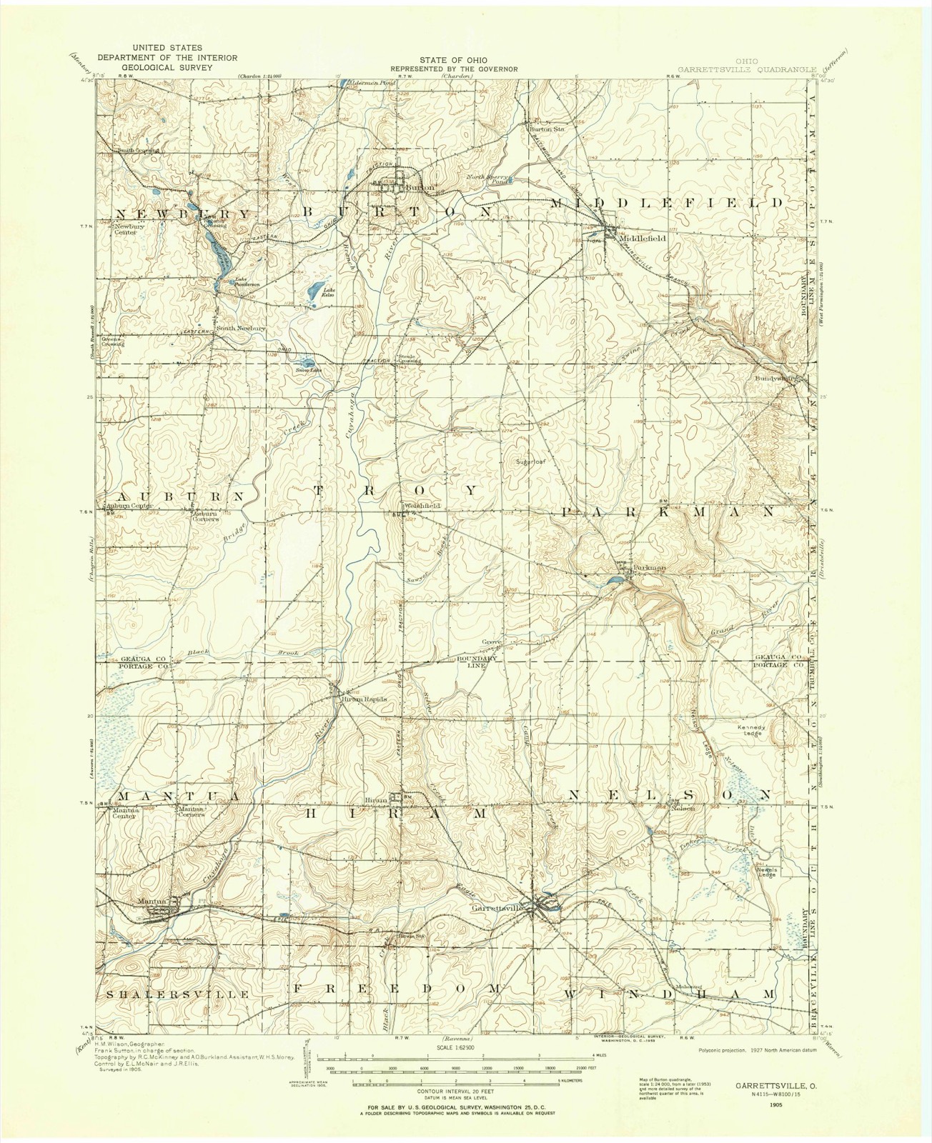
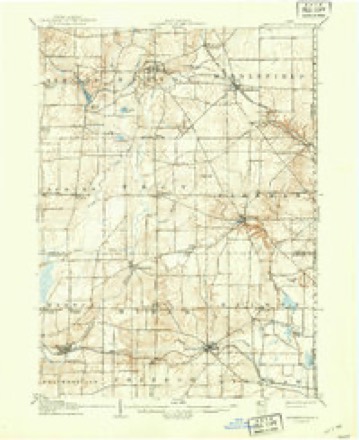
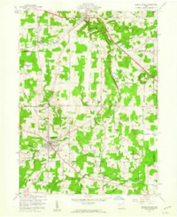
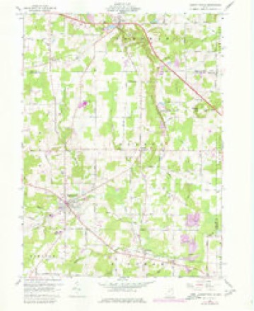
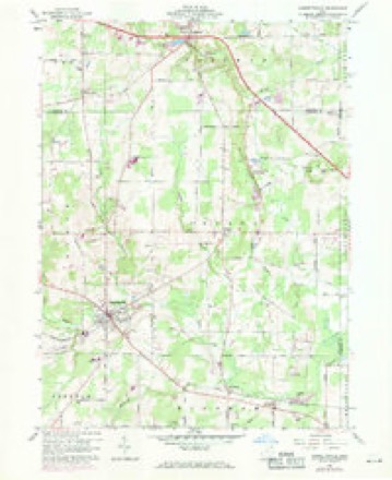
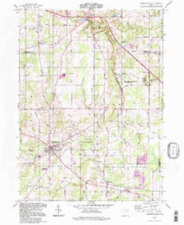
13 topographic sheets cover this place, the earliest surveyed in 1905 and the latest in 1994. It stands in Parkman Township. It lies in ZIP code area 44080. The Survey maps it on the Garrettsville quadrangle. 282 people lived here at the 2020 count. It stands 1,112 feet above sea level.
Then and now
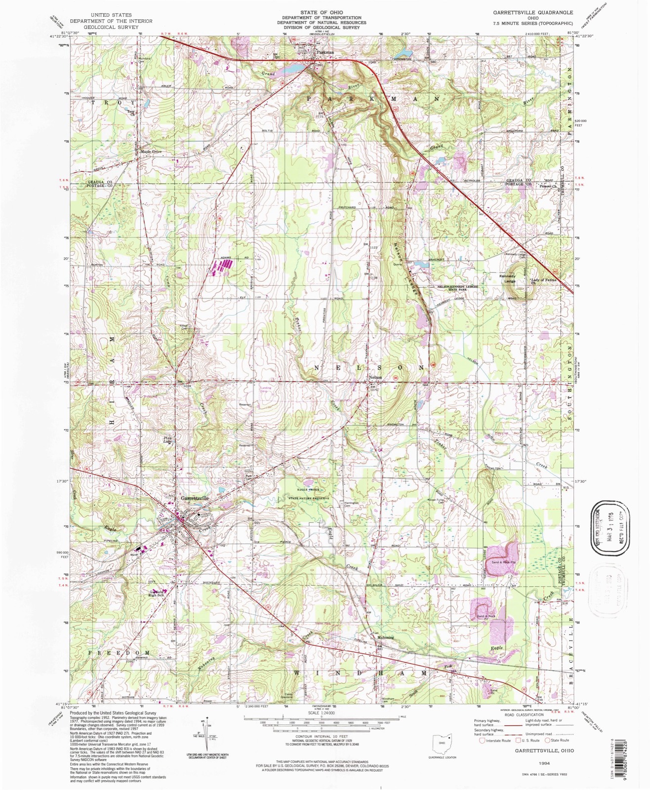
1905 to 1994The same ground, surveyed 89 years apart. Drag the handle to wipe between them. Both sheets are United States Geological Survey originals; neither has been altered.
Compare 1905 against another survey:
Topographic sheets covering this place
13 sheetsMatched by testing this settlement's coordinate against the published boundary of every sheet in the United States Geological Survey's historical collection. Each opens the scanned sheet at the Survey.
- 1905 USGS Garrettsville quadrangle1:62500
- 1907 USGS Garrettsville quadrangle1:62500
- 1907 USGS Garrettsville quadrangle1:62500
- 1956 USGS Cleveland quadrangle1:250000
- 1956 USGS Cleveland quadrangle1:250000
- 1956 USGS Cleveland quadrangle1:250000
- 1959 USGS Garrettsville quadrangle1:24000
- 1959 USGS Garrettsville quadrangle1:24000
- 1959 USGS Garrettsville quadrangle1:24000
- 1962 USGS Cleveland quadrangle1:250000
- 1986 USGS Cleveland South quadrangle1:100000
- 1994 USGS Cleveland South quadrangle1:100000
- 1994 USGS Garrettsville quadrangle1:24000






In the county-history sources
27,336 words on this townshipPioneer and General History of Geauga County, with Sketches of Some of the Pioneers and Prominent Men, published 1880 names this settlement in its chapter on Parkman Township. These are the passages that mention it, exactly as the scans read.
That tract of land, originally known as township number six, of the sixth range, in the Connecticut Western Reserve, comprising seventeen thousand, and thirtysix acres, lying on Grand river, near its head waters, was bought in 1 797, of the Connecticut Land company, by lot, together with large tracts in other townships, by Samuel Parkman, esq., of Boston, Massachusetts, and General Joseph Williams, one of the directors of the company.
Passage source: Pioneer and General History of Geauga County, with Sketches of Some of the Pioneers and Prominent Men, published 1880.
All obstacles being at length removed, on the first day of June, 1804, Mr. Parkman left Cayuga, to begin the settlement of the new township, which had already received the name of Parkman, from its owner. It is the only township of that name in the United States, except one in Maine, which was also owned and named by Samuel Parkman.
Passage source: Pioneer and General History of Geauga County, with Sketches of Some of the Pioneers and Prominent Men, published 1880.
Mr. Parkman was accompanied by his wife and infant son, and also by his brother-in-law, Alfred Phelps, then a lad of eleven years of age. The journey was made by land as far as Buffalo, over roads so narrow that, in many places, it was difficult for the wagons to pass, and so rough, from fogs and stumps, that Mrs. Parkman often found it less fatigueing to walk, and carry in her arms her infant child, than to ride, while her husband and brother were frequently obliged to clear the road by the use of their axes. This was western New York in 1804. From Buffalo they took passage in a sloop across Lake Erie, to the mouth of Grand river, and arrived at their port on the sixteenth of the month. Leaving his family there at the house of his friend, Judge John Walworth, who then resided on the land which was afterward the home of Governor Samuel Huntington, he proceeded at once to his place of destination.
Passage source: Pioneer and General History of Geauga County, with Sketches of Some of the Pioneers and Prominent Men, published 1880.
Machine-read from a century-old scan, so expect the errors a machine makes: misspelled names, dropped words, stray characters.
Read the whole chapter on Parkman Township - it names this place 113 more 113 times.
Fires near this place
1 since 2020Regional context, not property-specific evidence. The federal wildfire occurrence database lists 1 fire within 5 miles of Parkman between 2020 and 2020, burning about 3 acres in total. None started naturally. None was recorded as arson. Distance is straight-line from the map coordinates, so a fire counted here may appear on a neighbouring settlement's page as well.
| Reported cause | Fires |
|---|---|
| Debris and open burning | 1 |
The most recent of them, most recent first, with the day each was reported and the service that recorded it.
| Date | Cause | Size | Reported by | Name on the report |
|---|---|---|---|---|
| 9 March 2020 | Debris and open burning | 3.0 acres | Ohio Department of Natural Resources | 15457 |
Settlements close enough to share some of these fires:
Specimens collected near this place
12 of 274 shownRegional context, not property-specific evidence. Museums hold 274 specimens collected within 10 miles of Parkman between 1889 and 1975: 195 Animalia, 75 Plantae, 4 Fungi. 12 distinct Species records are shown. Collected by A. M. Evans, Armbruster, D. C. (Daniel C.), C. A. Darb and others. Each is a physical object with a catalogue number, and each entry opens the museum's record. This is what was collected and kept, not a survey of what lives here - nothing can be concluded from a species being absent.
| Image | Species | Year | Collected by | Where, as recorded |
|---|---|---|---|---|
 | Melospiza georgiana (Latham, 1790) | 1889 | Collector(s): F. S. Haggart | No specific locality recorded. |
 | Asplenium pinnatifidum Nutt. | 1890 | M. Rodman | Sugar Grove. |
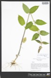 | Stachys cordata Riddell | 1896 | Guttenberg, G. | Burton |
 | Sarracenia purpurea L. | 1897 | G. B. Ashcroft | Burton |
 | Dryopteris goldiana (Hook. ex Goldie) A.Gray | 1901 | Lewis Sylvester Hopkins | Ohio, Middlefield |
 | Dryopteris × boottii (Tuck.) Underw. | 1906 | L. S. Hopkins | Middlefield |
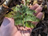 | Dryopteris cristata x goldiana | 1907 | Hopkins, L.S. | Middlefield |
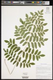 | Osmunda cinnamomea L. | 1907 | Hopkins, L.K. | Burton |
 | Acronicta dactylina Grote, 1874 | 1908 | Teraguchi, S. (Sonja) | OH Geauga Co. Troy Twp. Snow Lake |
| Agrostis hyemalis (Walter) Britton, Sterns & Poggenb. | 1911 | Hopkins, L.S. | Burton | |
 | Chelone glabra var. linifolia Coleman | 1911 | Hopkins, L.S. | Burton |
| Cinna arundinacea L. | 1911 | Hopkins, L.S. | Burton |
All 274 specimens within 10 miles, at the Global Biodiversity Information Facility.
Mines and quarries near this place
2 within 5 milesRegional context, not property-specific evidence. The federal mineral resources record lists 2 workings within 5 miles of Parkman: 2 past producers. None of them still produces. What was taken out: Sand and Gravel, Construction. Distance is straight-line from the map coordinates, so a quarry counted here may appear on a neighbouring settlement's page as well.
| Where | Site | Commodity | Status | Recorded |
|---|---|---|---|---|
| Parkman Sand and Gravel Pit | Sand and Gravel, Construction | Past Producer | Sedimentary | |
| Parkman Sand and Gravel Pit | Sand and Gravel, Construction | Past Producer |
Storms near this place
16 since 1996Regional context, not property-specific evidence. The National Weather Service names Parkman in 16 storm reports between 1996 and 2025: 13 thunderstorm wind, 2 hail, 1 flash flood. The reports record 1 injury. Each account below is quoted exactly as the forecast office filed it, from the NOAA Storm Events Database, and each date opens the federal record of that event.
| When | Event | Place named | Harm | What the report says |
|---|---|---|---|---|
| August 2000 | Thunderstorm Wind | Parkman | 1 hurt, $20,000 | Thunderstorm winds downed a few trees and many large limbs in Parkman. One of the trees landed on a moving car. The driver of the car was transported to a local hospital and treated for minor injuries. |
| July 2003 | Thunderstorm Wind | Parkman | $30,000 | Thunderstorm winds damaged a barn and downed one large tree. |
| July 2016 | Thunderstorm Wind | Parkman | $20,000 | The County Sheriffs office reported a tree down on a car on Reynolds Road and Parkman. Widespread tree and power line damage was reported across Geauga County with the most notable damage in Middlefield. |
| June 2016 | Thunderstorm Wind | Parkman | $18,000 | Dispatch reported trees and power lines down in the southeast portion of the County. Ohio Route 88 was closed near Parkman due to downed trees. |
| August 2017 | Thunderstorm Wind | Parkman | $10,000 | Thunderstorm winds downed several trees. |
| August 2017 | Thunderstorm Wind | Parkman | $10,000 | Thunderstorm winds downed several trees. |
| August 2002 | Thunderstorm Wind | Parkman | $10,000 | Thunderstorm winds downed several trees. |
| January 2012 | Thunderstorm Wind | Parkman | $1,000 | Thunderstorm winds downed a large tree. |
| September 2007 | Thunderstorm Wind | Parkman | $1,000 | Two trees were reported down. |
| June 2025 | Thunderstorm Wind | Parkman | - | Tree downed along Hobart Road, about three-miles ESE of Parkman. |
| April 2024 | Hail | Parkman | - | Hail up to the size of quarters about 2.6-miles east of Parkman. |
| May 2019 | Thunderstorm Wind | Parkman | - | Several trees were snapped on private property. |
| April 2013 | Thunderstorm Wind | Parkman | - | A trained weather spotter estimated a 60 mph wind gust from a thunderstorm. |
| May 2011 | Flash Flood | Parkman | - | Saturated ground cover could not hold any additional rain, however on the evening of the 14th torrential rainfall brought an additional inch to Geauga County. The rain fell within 75 minutes, resulting in rapid runoff. The result was flash flooding mainly over northern portions of the county where rainfall was the heaviest. Several state and local roads were flooded including RT 528 in Parkman. |
| May 2005 | Hail | Parkman | - | Penny size hail was observed one mile east of Parkman. |
| August 1996 | Thunderstorm Wind | Parkman | - | no account filed |
Nearest settlements
The eight closest, with where each one stands in the county. Distances are straight-line, computed from the Geographic Names Information System coordinates.
| Map | Place | Distance | Sheets |
|---|---|---|---|
| Maple Grove | 3.1 miles | 13 | |
| Welshfield | 4.2 miles | 14 | |
| Bundysburg | 4.6 miles | 13 | |
| Popes Corners | 5.8 miles | 14 | |
| Middlefield | 6.3 miles | 13 | |
| Hayes Corners | 6.5 miles | 13 | |
| Burton Lake | 7.6 miles | 14 | |
| Auburn Corners | 8.1 miles | 14 |
Elsewhere
Matched on this settlement's Geographic Names Information System number rather than its name, so it cannot be a different place of the same name in another state.
| Wikipedia article on Parkman | An encyclopaedic summary. Its text is share-alike, so it is linked here rather than copied. |
| Wikidata item Q7138609 | The structured record the population and elevation above come from. Public domain (CC0). |
Provenance
This settlement is recorded in the Geographic Names Information System as feature 1044307. The sheet list is computed by point-in-boundary test against the United States Geological Survey's historical topographic inventory. Both are works of the United States government and carry no copyright under 17 U.S.C. 105.
Wildfire. Short, Karen C. 2022. Spatial wildfire occurrence data for the United States, 1992-2020 [FPA_FOD_20221014]. 6th Edition. Fort Collins, CO: Forest Service Research Data Archive. https://doi.org/10.2737/RDS-2013-0009.6 Collected with United States Government funding and usable without additional permissions or fees.
Specimens. Global Biodiversity Information Facility (GBIF), https://www.gbif.org/. Only records licensed CC0 or CC BY are used. Records licensed CC BY-NC are excluded because this site carries advertising. Images are checked individually and any whose licence is non-commercial, no-derivatives or unreadable is refused.
Mines and quarries. USGS Mineral Resources Data System (MRDS) https://mrdata.usgs.gov/mrds/ A work of the United States government, no copyright under 17 U.S.C. 105.
Storms. NOAA National Centers for Environmental Information, Storm Events Database https://www.ncei.noaa.gov/stormevents/ A work of the United States government, no copyright under 17 U.S.C. 105. Narratives are quoted verbatim from the National Weather Service report and are not edited or summarised.