 Block
Block
Middlefield, Ohio
13 topographic sheets cover this place, the earliest surveyed in 1905 and the latest in 1994. It stands in Middlefield Village. It lies in ZIP code area 44062. The Survey maps it on the Middlefield quadrangle. 2,748 people lived here at the 2020 count. It stands 1,125 feet above sea level.
Population over time
2 figuresMiddlefield grew from 2,694 to 2,748 between 2010 and 2020. These are the recorded population figures Wikidata holds for this place, reached through the Geographic Names Information System number this page is keyed on rather than by name, so they belong to this place and not to another of the same name. Most are census counts, but not all are: an early figure may be a founding or settlement estimate. The change column is computed, and is left blank where more than 20 years separate a figure from the one before it, because a gap that long is not a change between two counts.
| Year | People | Change |
|---|---|---|
| 2010 | 2,694 | |
| 2020 | 2,748 | +54 (+2%) |
Then and now
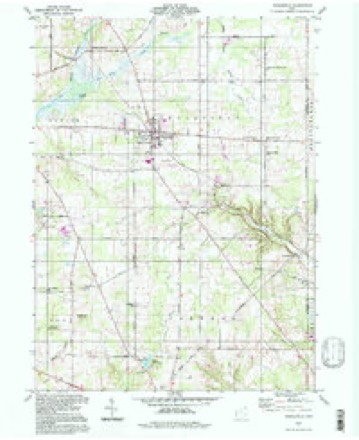
1905 to 1994The same ground, surveyed 89 years apart. Drag the handle to wipe between them. Both sheets are United States Geological Survey originals; neither has been altered.
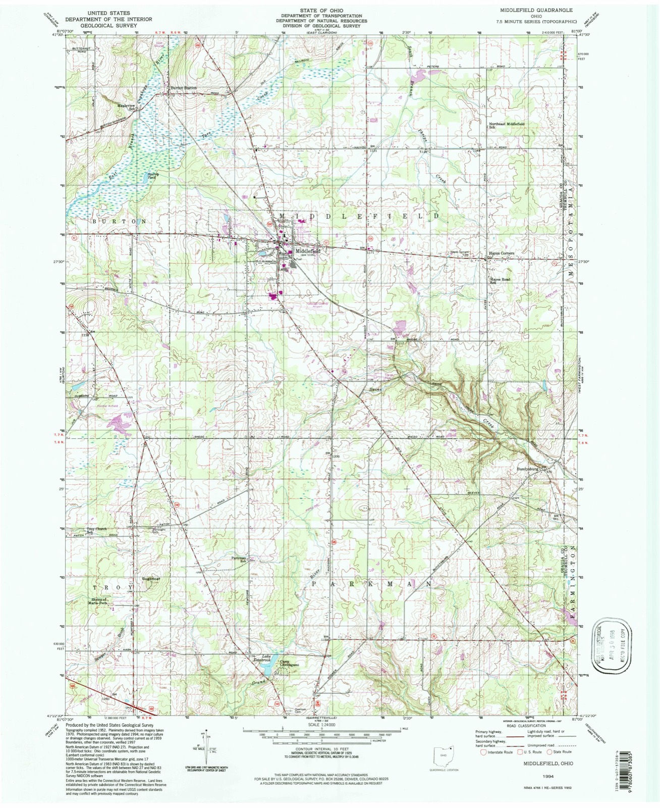
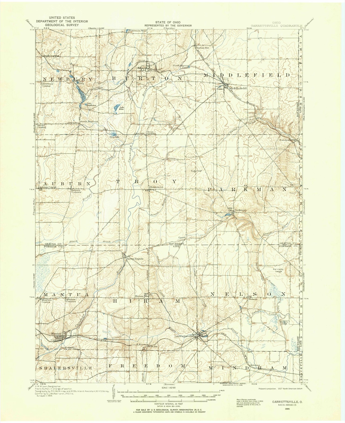
Compare 1905 against another survey:
Topographic sheets covering this place
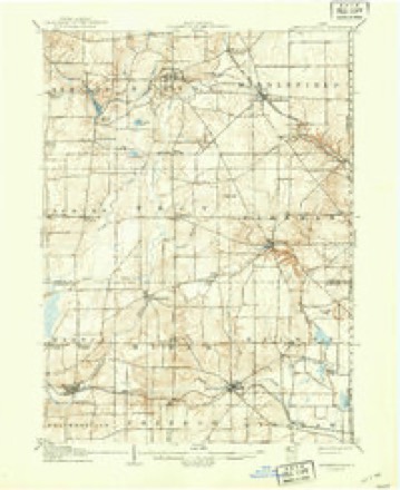
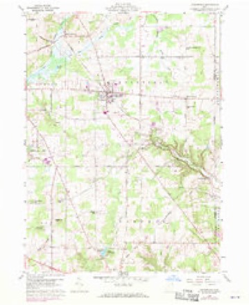
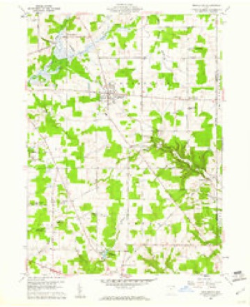
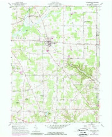
13 sheetsMatched by testing this settlement's coordinate against the published boundary of every sheet in the United States Geological Survey's historical collection. Each opens the scanned sheet at the Survey.
- 1905 USGS Garrettsville quadrangle1:62500
- 1907 USGS Garrettsville quadrangle1:62500
- 1907 USGS Garrettsville quadrangle1:62500
- 1956 USGS Cleveland quadrangle1:250000
- 1956 USGS Cleveland quadrangle1:250000
- 1956 USGS Cleveland quadrangle1:250000
- 1959 USGS Middlefield quadrangle1:24000
- 1959 USGS Middlefield quadrangle1:24000
- 1959 USGS Middlefield quadrangle1:24000
- 1962 USGS Cleveland quadrangle1:250000
- 1986 USGS Cleveland South quadrangle1:100000
- 1994 USGS Cleveland South quadrangle1:100000
- 1994 USGS Middlefield quadrangle1:24000






In the county-history sources
12,174 words on this townshipPioneer and General History of Geauga County, with Sketches of Some of the Pioneers and Prominent Men, published 1880 names this settlement in its chapter on Middlefield Township. These are the passages that mention it, exactly as the scans read.
There were one or two families living in Mentor at this time. The name of one of the families was Parker. In the January following this date, their son, John Thompson, was born. They remained in Mentor until the tenth or fifteenth of March, 1799, when Isaac informed his son James that they must get back to the Ohio river; Mentor was no place for them ; the country would never be settled; there was no outlet to the ocean, and consequently the place was only fit for wild beasts and Indians. Soon after this the whole family started for the Ohio river. The previous summer the State road had been surveyed through from Pittsburgh to the mouth of Grand river. The family followed the line of the road by the marked trees, to the point now known as Johnson's corners, in Middlefield. Here a man by the name of Hill, with his wife, and a Mr. Lemoin, had built their cabins, a little southwest of the corners, upon land now owned by H. B. Johnson, and they followed trapping.
Passage source: Pioneer and General History of Geauga County, with Sketches of Some of the Pioneers and Prominent Men, published 1880.
The Thompson family stopped here for the night. In the morning the men went out and took a look at the country. After a day or two they were so favorably impressed with the country, and being sick and tired of moving, they decided to settle. Selecting a site on lot twenty-nine, about twenty-five rods east of the Methodist Episcopal church, they erected a house, the first of any size in the township, and the workmen were Isaac and James Thompson, Hill and Lemoin. Soon after the Thompsons arrived, Hill and his wife left for parts unknown. Lemoin lived with the Thompsons a short time, and he left also, leaving the new -settlers the only white people in the township. Consequently, Isaac Thompson and family were the first permanent settlers of Middlefield.
Passage source: Pioneer and General History of Geauga County, with Sketches of Some of the Pioneers and Prominent Men, published 1880.
After making a little clearing in the woods, and necessary arrangements, Isaac Thompson started for the mouth of Beaver river, for the household goods left there the fall previous, and found them all right. Loading them into a dug-out, he boated them up the Beaver and Mahoning rivers to Warren, and then packing them on the old horse, brought them to the settlement. At this date (1 799)» there was not a settler between Warren and Middlefield, and no road except the blazed trees, on the line of the State road, from Warren to Painesville. Mid* dlefield is midway, by this road, and twenty-one miles from each of the above named places. Soon after settling, Isaac Thompson went to Warren and pur* chased all of that part of lot twentv-nine that lies east of the State road, containing about one hundred and ninety acres of land, paying only a small part down.
Passage source: Pioneer and General History of Geauga County, with Sketches of Some of the Pioneers and Prominent Men, published 1880.
Machine-read from a century-old scan, so expect the errors a machine makes: misspelled names, dropped words, stray characters.
Read the whole chapter on Middlefield Township - it names this place 28 more 28 times.
Fires near this place
1 since 2019Regional context, not property-specific evidence. The federal wildfire occurrence database lists 1 fire within 5 miles of Middlefield between 2019 and 2019, burning about 1 acres in total. None started naturally. None was recorded as arson. Distance is straight-line from the map coordinates, so a fire counted here may appear on a neighbouring settlement's page as well.
| Reported cause | Fires |
|---|---|
| Missing data/not specified/undetermined | 1 |
The most recent of them, most recent first, with the day each was reported and the service that recorded it.
| Date | Cause | Size | Reported by | Name on the report |
|---|---|---|---|---|
| 4 August 2019 | Missing data/not specified/undetermined | 1.0 acres | Ohio Department of Natural Resources | 15225 |
Settlements close enough to share some of these fires:
Specimens collected near this place
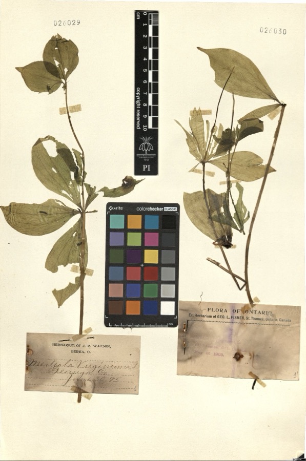
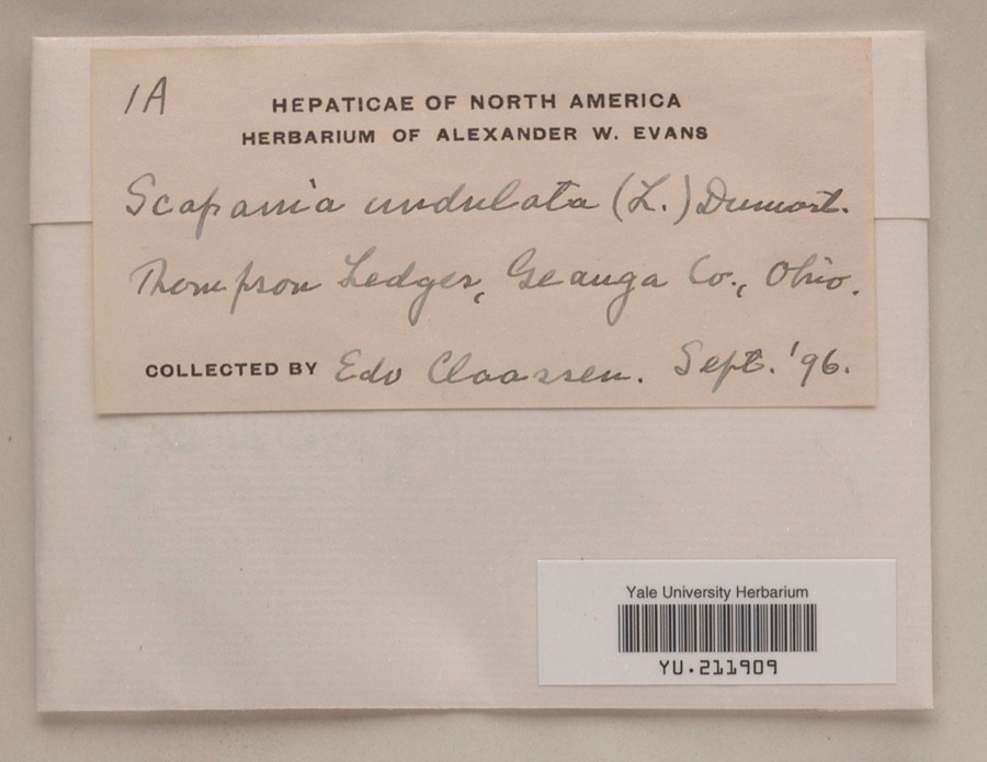
12 of 651 shownRegional context, not property-specific evidence. Museums hold 651 specimens collected within 10 miles of Middlefield between 1887 and 1975: 544 Animalia, 102 Plantae, 5 Fungi. 12 distinct Species records are shown. Collected by A. M. Evans, A. N. Rood, A.E. Daugherty and others. Each is a physical object with a catalogue number, and each entry opens the museum's record. This is what was collected and kept, not a survey of what lives here - nothing can be concluded from a species being absent.
| Image | Species | Year | Collected by | Where, as recorded |
|---|---|---|---|---|
 | Riparia riparia riparia (Linnaeus, 1758) | 1891 | Fred Haggart | |
 | Medeola virginiana L. | 1895 | Watson,J.R. s.n. [1895-06-30] | [label: Herbarium of J.R. Watson, Berea, O.] Geauga Co. [County] |
 | Scapania undulata (L.) Dumort. | 1896 | Edo N. Claassen | Thompson Ledges |
 | Dryopteris marginalis (L.) A.Gray | 1887 | Leonard, F.E. | Munson |
 | Melospiza georgiana (Latham, 1790) | 1889 | Collector(s): F. S. Haggart | No specific locality recorded. |
 | Asplenium pinnatifidum Nutt. | 1890 | M. Rodman | Sugar Grove. |
 | Cypripedium reginae Walter | 1896 | J. R. Watson | Geauga |
 | Stachys cordata Riddell | 1896 | Guttenberg, G. | Burton |
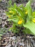 | Cypripedium parviflorum Salisb. | 1897 | J. R. Watson | Munson |
 | Sarracenia purpurea L. | 1897 | J. R. Watson | Geauga |
 | Dryopteris goldiana (Hook. ex Goldie) A.Gray | 1901 | Lewis Sylvester Hopkins | Ohio, Middlefield |
 | Acronicta dactylina Grote, 1874 | 1908 | Teraguchi, S. (Sonja) | OH Geauga Co. Troy Twp. Snow Lake |
All 651 specimens within 10 miles, at the Global Biodiversity Information Facility.
Storms near this place
22 since 1995Regional context, not property-specific evidence. The National Weather Service names Middlefield in 22 storm reports between 1995 and 2025: 12 thunderstorm wind, 7 hail, 2 tornado, 1 flash flood. The reports record 4 injuries. Each account below is quoted exactly as the forecast office filed it, from the NOAA Storm Events Database, and each date opens the federal record of that event.
| When | Event | Place named | Harm | What the report says |
|---|---|---|---|---|
| May 1995 | Tornado | Middlefield | 4 hurt, $1,000,000 | The tornado touched down near the Aims Department store just north of route 87 and moved northeast downing trees. An apartment complex suffered minor roof and structural damage. The tornado then moved into a residential neighborhood. Four homes were destroyed as the roofs were removed and each house lost one or two walls. Several outbuildings were also destroyed. About 12 other homes suffered minor to moderate damage. The tornado lifted just northeast of route 608 causing additional tree damage and minor damage to a few structures. Injuries were minor and consisted of lacerations and bruises. One woman was knocked unconscious by flying debris. |
| July 2014 | Flash Flood | Middlefield | $150,000 | Starting around 520 PM on the evening of the 27th storms associated with a cold front moving through the region produced torrential rain over the Middlefield area. Between 545 and 715 PM 4.13 of rain fell as reported by the CoCoRaHS observer in Middlefield. It was this heavy rain that caused the Tare Creek to overcome it's banks and flood a retirement community and an apartment complex. This was the first ever reported incident of the creek flooding the retirement home which was built in 1965. The flood waters filled the basement with seven feet of water and resulted in evacuations. Further downstream sat an apartment complex where the Fire Department performed water rescues of 8 residents. The flood waters were estimated at eight inches deep in the apartments. An additional 0.9 of rain fell between 8 PM and 8 AM but no additional flash flooding resulted. Numerous homes in the community had flooded basements. |
| September 2018 | Tornado (EF1) | Middlefield | $125,000 | An EF0 tornado touched down in rural Geauga County about three miles northeast of Middlefield. The initial touchdown occurred just northeast of the intersection of Hayes and Nauvoo Roads in Middlefield Township. The tornado continued south southeast for nearly two and a half miles before crossing into Trumbull County. The tornado strengthened to EF1 intensity as it approached State Route 87. Two mobile homes along State Route 87 just west of Bundysburg Road and the Trumbull County line were damaged. One of the mobile homes was overturned and the second lost roofing and walls. No injuries were reported. The damage path appears to have been intermittent with numerous trees and limbs snapped. The damage path in Geauga County was no more than 25 yards in width. Upon exiting Geauga County, this tornado continued for another mile and a half in Trumbull County before dissipating. |
| May 2011 | Hail | Middlefield | $100,000 | Thunderstorms produced quarter to golf ball size hail. Numerous vehicles and homes were damaged by the hail. The large hail also damaged crops in the area. |
| June 2014 | Thunderstorm Wind | Middlefield | $25,000 | Thunderstorm winds downed a large oak tree. The tree landed on a barn causing a lot of damage. |
| June 2008 | Thunderstorm Wind | Middlefield | $20,000 | Many trees were reported down east of Middlefield. |
| July 2002 | Thunderstorm Wind | Middlefield | $10,000 | Thunderstorm winds downed a few trees. |
| September 2018 | Thunderstorm Wind | Middlefield | $5,000 | Thunderstorm winds downed several trees in Middlefield. |
| June 2007 | Thunderstorm Wind | Middlefield | $4,000 | Several tree limbs and power lines were reported down across Middlefield Township. |
| May 2011 | Thunderstorm Wind | Middlefield | $2,000 | Thunderstorm winds downed two large trees. |
| July 2010 | Thunderstorm Wind | Middlefield | $2,000 | Thunderstorm winds downed a few large tree limbs. |
| August 1995 | Thunderstorm Wind | Middlefield | $2,000 | Several trees were downed. |
| June 2007 | Thunderstorm Wind | Middlefield | $1,000 | A few large limbs were reported down. |
| June 2025 | Thunderstorm Wind | Middlefield | - | Large tree snapped and smaller tree downed in Middlefield. |
| April 2023 | Thunderstorm Wind | Middlefield | - | Trained spotter in Middlefield measured a peak gust of 70 mph from passing thunderstorm. |
| November 2020 | Thunderstorm Wind | Middlefield | - | Personal weather station recorded a 72 mph peak wind gust from a thunderstorm. |
| August 2011 | Hail | Middlefield | - | Nickel sized hail was observed. |
| May 2010 | Hail | Middlefield | - | Quarter sized hail was observed. |
| May 2007 | Hail | Middlefield | - | Penny size hail was observed. |
| June 2005 | Hail | Middlefield | - | Nickel size hail was observed. |
| July 1999 | Hail | Middlefield | - | no account filed |
| July 1999 | Hail | Middlefield | - | no account filed |
Nearest settlements
The eight closest, with where each one stands in the county. Distances are straight-line, computed from the Geographic Names Information System coordinates.
| Map | Place | Distance | Sheets |
|---|---|---|---|
| Burton Station | 2.4 miles | 13 | |
| Hayes Corners | 2.7 miles | 13 | |
| Barnes Corners | 3.5 miles | 13 | |
| Burton | 3.8 miles | 14 | |
| Bundysburg | 4.5 miles | 13 | |
| Maple Grove | 4.6 miles | 13 | |
| Huntsburg | 5.2 miles | 13 | |
| East Claridon | 5.4 miles | 13 |
Elsewhere
Matched on this settlement's Geographic Names Information System number rather than its name, so it cannot be a different place of the same name in another state.
| Wikipedia article on Middlefield | An encyclopaedic summary. Its text is share-alike, so it is linked here rather than copied. |
| Wikidata item Q601269 | The structured record the population and elevation above come from. Public domain (CC0). |
Provenance
This settlement is recorded in the Geographic Names Information System as feature 1061515. The sheet list is computed by point-in-boundary test against the United States Geological Survey's historical topographic inventory. Both are works of the United States government and carry no copyright under 17 U.S.C. 105.
Wildfire. Short, Karen C. 2022. Spatial wildfire occurrence data for the United States, 1992-2020 [FPA_FOD_20221014]. 6th Edition. Fort Collins, CO: Forest Service Research Data Archive. https://doi.org/10.2737/RDS-2013-0009.6 Collected with United States Government funding and usable without additional permissions or fees.
Specimens. Global Biodiversity Information Facility (GBIF), https://www.gbif.org/. Only records licensed CC0 or CC BY are used. Records licensed CC BY-NC are excluded because this site carries advertising. Images are checked individually and any whose licence is non-commercial, no-derivatives or unreadable is refused.
Storms. NOAA National Centers for Environmental Information, Storm Events Database https://www.ncei.noaa.gov/stormevents/ A work of the United States government, no copyright under 17 U.S.C. 105. Narratives are quoted verbatim from the National Weather Service report and are not edited or summarised.