 Block
Block
Pasco, Ohio
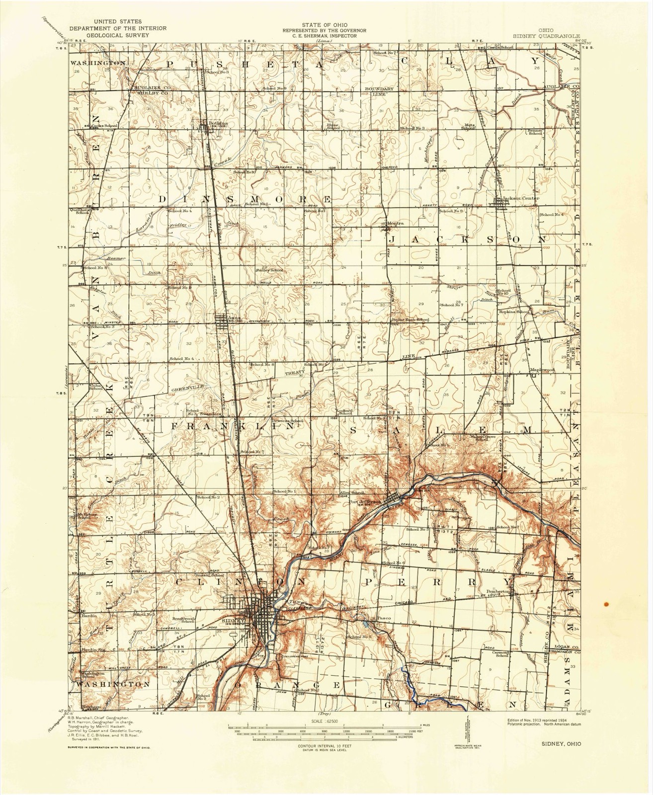
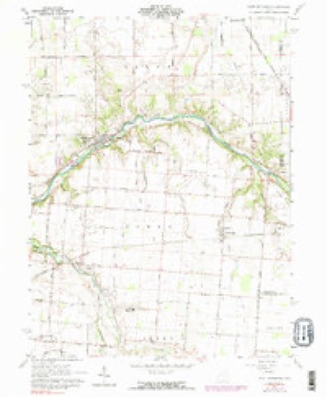
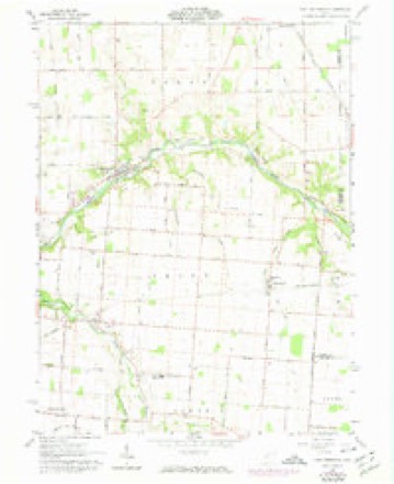
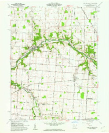
15 topographic sheets cover this place, the earliest surveyed in 1913 and the latest in 1986. It stands in Perry Township. It lies in ZIP code area 45365. It stands on Leatherwood Creek. The Survey maps it on the Port Jefferson quadrangle.
Then and now
1913 to 1986The same ground, surveyed 73 years apart. Drag the handle to wipe between them. Both sheets are United States Geological Survey originals; neither has been altered.

Topographic sheets covering this place
15 sheetsMatched by testing this settlement's coordinate against the published boundary of every sheet in the United States Geological Survey's historical collection. Each opens the scanned sheet at the Survey.
- 1913 USGS Sidney quadrangle1:62500
- 1913 USGS Sidney quadrangle1:62500
- 1944 USGS Sidney quadrangle1:62500
- 1953 USGS Muncie quadrangle1:250000
- 1953 USGS Muncie quadrangle1:250000
- 1953 USGS Muncie quadrangle1:250000
- 1953 USGS Muncie quadrangle1:250000
- 1953 USGS Muncie quadrangle1:250000
- 1956 USGS Muncie quadrangle1:250000
- 1961 USGS Port Jefferson quadrangle1:24000
- 1961 USGS Port Jefferson quadrangle1:24000
- 1961 USGS Port Jefferson quadrangle1:24000
- 1986 USGS Piqua quadrangle1:100000
- 1986 USGS Piqua quadrangle1:100000
- 1986 USGS Piqua quadrangle1:100000









In the county-history sources
21,300 words on this townshipHistory of Shelby County, Ohio, published 1883 names this settlement in its chapter on Perry Township. These are the passages that mention it, exactly as the scans read.
Ordered, that an election be held at the house of David Henry for the election of one clerk, three trustees, two overseers of the poor, two fence viewers, two appraisers, two supervisors of roads, one constable, and one treasurer. Adjourned.
Passage source: History of Shelby County, Ohio, published 1883.
On the 10th of June, 1817, the Commissioners of Miami County ordered an election to be held in Perry Township, at the house of James Dingman, on the 28th of said month. On said date the electors assem- bletl as ordered; chose Edward Jackson, chairman, James Dingman and John Bryan, judges, David Henry and John Francis, clerks, who were duly qualified, and proceeded to hold an election for township officers, when the following named persons were elected to fill the respective positions: -
Passage source: History of Shelby County, Ohio, published 1883.
Machine-read from a century-old scan, so expect the errors a machine makes: misspelled names, dropped words, stray characters.
Specimens collected near this place
12 of 210 shownRegional context, not property-specific evidence. Museums hold 210 specimens collected within 10 miles of Pasco between 1897 and 1967: 170 Animalia, 21 Fungi, 18 Plantae, 1 Unrecorded. 12 distinct Species records are shown. Collected by A. R. Gaufin, A.R. Gaufin, A.R. Gaufin, H.H. Ross and others. Each is a physical object with a catalogue number, and each entry opens the museum's record. This is what was collected and kept, not a survey of what lives here - nothing can be concluded from a species being absent.
| Image | Species | Year | Collected by | Where, as recorded |
|---|---|---|---|---|
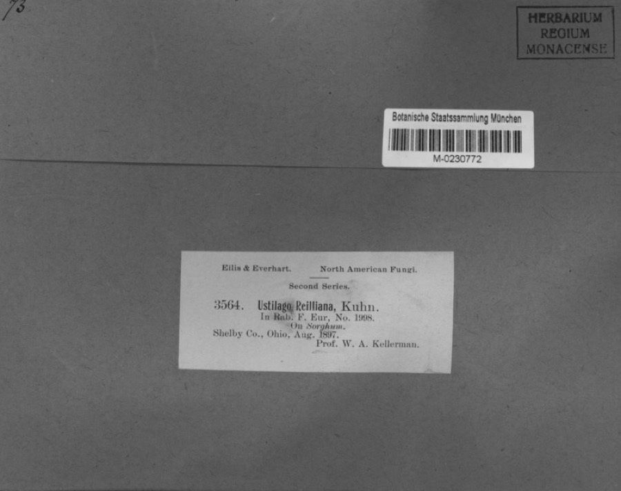 | Sorghum Moench | 1897 | Kellerman, W.A. | Shelby Co., Ohio. |
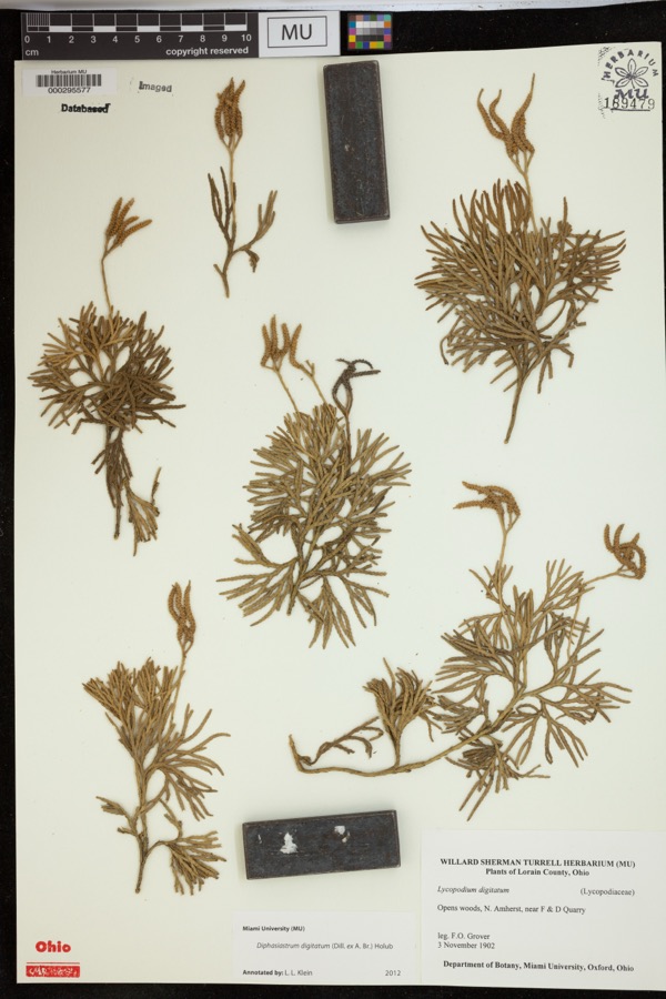 | Diphasiastrum digitatum (Dill. ex A.Braun) Holub | 1902 | Grover, F.O. | Opens woods, N. Amherst, near F & D Quarry |
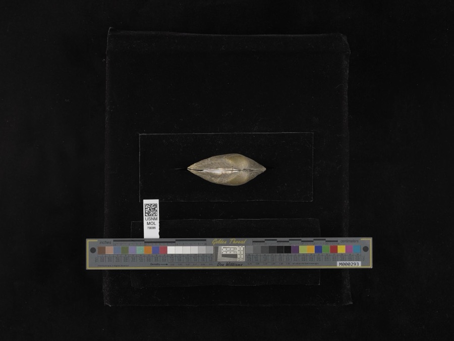 | Fusconaia flava (Rafinesque, 1820) | 1939 | not recorded | Miami River |
| unnamed | 1897 | WA Kellerman | Shelby County | |
 | Carex shortiana Dewey & Torr. | 1897 | Wetzstein, A. | |
 | Cercosporina apii (Fresen.) Miura | 1897 | Selby A. D. | Kirkwood |
| Sorosporium reilianum (J.G.Kühn) McAlpine | 1897 | W. A. Kellerman | ||
 | Sphacelotheca reiliana (J.G.Kühn) G.P.Clinton | 1897 | Kellerman W. A. | Shelby Co. |
 | Ustilago reiliana J.G.Kühn | 1897 | Kellerman, W.A. | Shelby County, Ohio. |
 | Accipiter cooperii (Bonaparte, 1828) | 1904 | Henninger, W. F. (Walther Frederick) | New Bremen, Shelby, Ohio, USA |
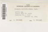 | Hirneola auricula-judae (Bull.) Berk. | 1909 | Fisher G. Clyde | Sidney |
 | Gymnosporangium juniperi-virginianae Schwein. | 1914 | Russell A. B. | Sidney |
All 210 specimens within 10 miles, at the Global Biodiversity Information Facility.
Mines and quarries near this place
5 within 5 milesRegional context, not property-specific evidence. The federal mineral resources record lists 5 workings within 5 miles of Pasco: 2 producers, 1 past producer, 1 plant, 1 unknown. 3 still produce. What was taken out: Sand and Gravel, Construction, Stone, Crushed/Broken. Distance is straight-line from the map coordinates, so a quarry counted here may appear on a neighbouring settlement's page as well.
| Where | Site | Commodity | Status | Recorded |
|---|---|---|---|---|
| Spring Creek Quarry | Stone, Crushed/Broken | Producer | ||
| Plant Number 2 and Pit | Sand and Gravel, Construction | Past Producer | Sedimentary | |
| Port Jefferon Quarry | Sand and Gravel, Construction | Producer | ||
| Sidney Sand & Gravel Pit No 2 | Sand and Gravel, Construction | Plant | ||
| Staley Farm Quarry | Sand and Gravel, Construction | Unknown |
Storms near this place
4 since 2014Regional context, not property-specific evidence. The National Weather Service names Pasco in 4 storm reports between 2014 and 2018: 3 flood, 1 thunderstorm wind. No death or injury is recorded in these reports. Each account below is quoted exactly as the forecast office filed it, from the NOAA Storm Events Database, and each date opens the federal record of that event.
| When | Event | Place named | Harm | What the report says |
|---|---|---|---|---|
| July 2014 | Thunderstorm Wind | Pasco | $1,000 | A tree was downed on McCloskey School Road due to thunderstorm winds. |
| February 2018 | Flood | Pasco | - | Three children were playing by Mosquito Creek. The bank of Mosquito Creek gave way and a boy fell into the creek and drowned. M6IW. |
| November 2017 | Flood | Pasco | - | High water was reported near Pasco Montra Road, north of State Route 706. |
| July 2015 | Flood | Pasco | - | High water was reported at the intersection of Jackson Road and State Route 29. |
Nearest settlements
The eight closest, with where each one stands in the county. Distances are straight-line, computed from the Geographic Names Information System coordinates.
| Map | Place | Distance | Sheets |
|---|---|---|---|
| Sidney | 2.9 miles | 15 | |
| Port Jefferson | 3.1 miles | 15 | |
| Depew | 3.6 miles | 15 | |
| Buckeye Terrace | 3.6 miles | 15 | |
| Pemberton | 3.7 miles | 15 | |
| Plattsville | 3.7 miles | 15 | |
| Hickory Dell Estates | 4.4 miles | 16 | |
| Lakeside Village | 4.5 miles | 15 |
Provenance
This settlement is recorded in the Geographic Names Information System as feature 1049065. The sheet list is computed by point-in-boundary test against the United States Geological Survey's historical topographic inventory. Both are works of the United States government and carry no copyright under 17 U.S.C. 105.
Specimens. Global Biodiversity Information Facility (GBIF), https://www.gbif.org/. Only records licensed CC0 or CC BY are used. Records licensed CC BY-NC are excluded because this site carries advertising. Images are checked individually and any whose licence is non-commercial, no-derivatives or unreadable is refused.
Mines and quarries. USGS Mineral Resources Data System (MRDS) https://mrdata.usgs.gov/mrds/ A work of the United States government, no copyright under 17 U.S.C. 105.
Storms. NOAA National Centers for Environmental Information, Storm Events Database https://www.ncei.noaa.gov/stormevents/ A work of the United States government, no copyright under 17 U.S.C. 105. Narratives are quoted verbatim from the National Weather Service report and are not edited or summarised.