 Block
Block
Pelham, Massachusetts
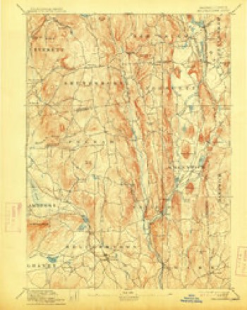
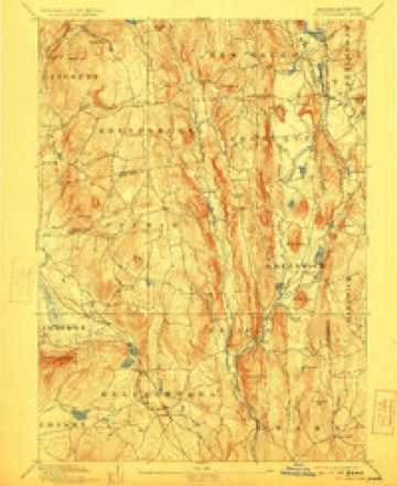
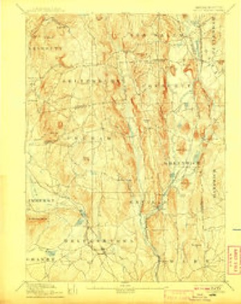
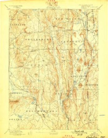
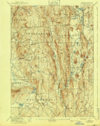
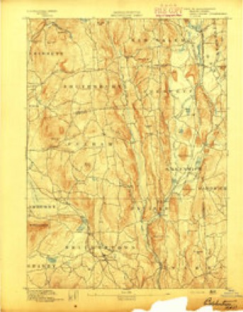
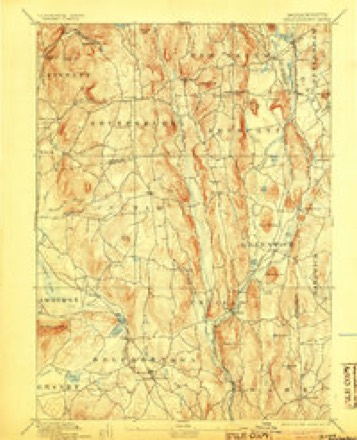
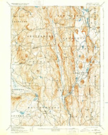
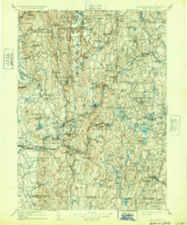
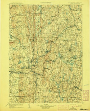
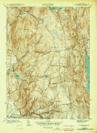
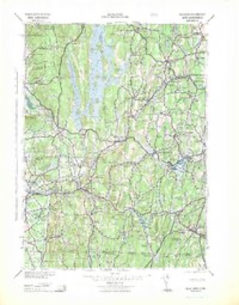
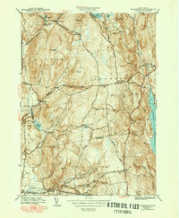
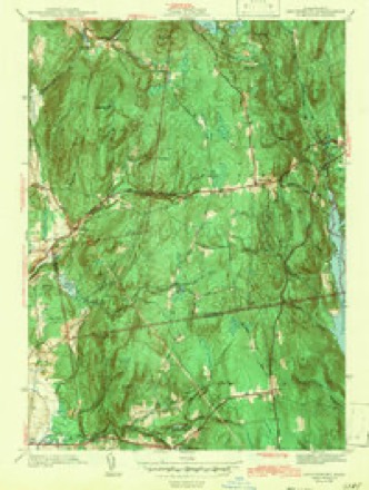
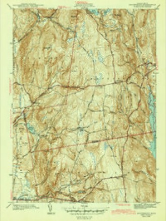
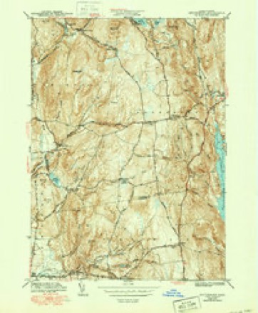
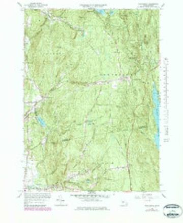
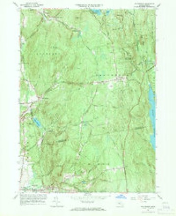
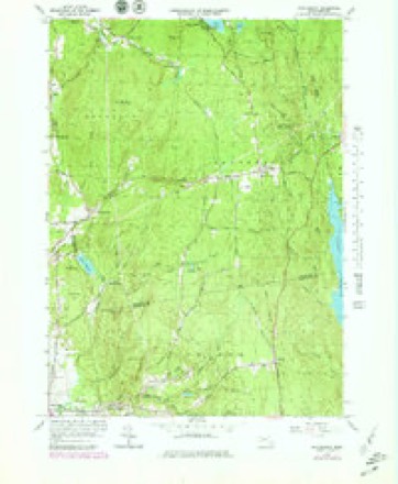
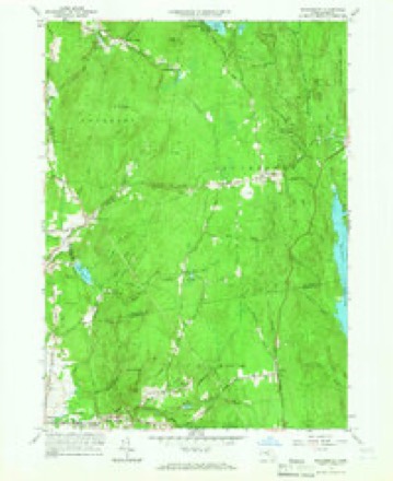
35 topographic sheets cover this place, the earliest surveyed in 1887 and the latest in 1990. It stands in Pelham town. It lies in ZIP code area 01002. It stands on Pine Hill. The Survey maps it on the Shutesbury quadrangle.
Then and now
1887 to 1990The same ground, surveyed 103 years apart. Drag the handle to wipe between them. Both sheets are United States Geological Survey originals; neither has been altered.
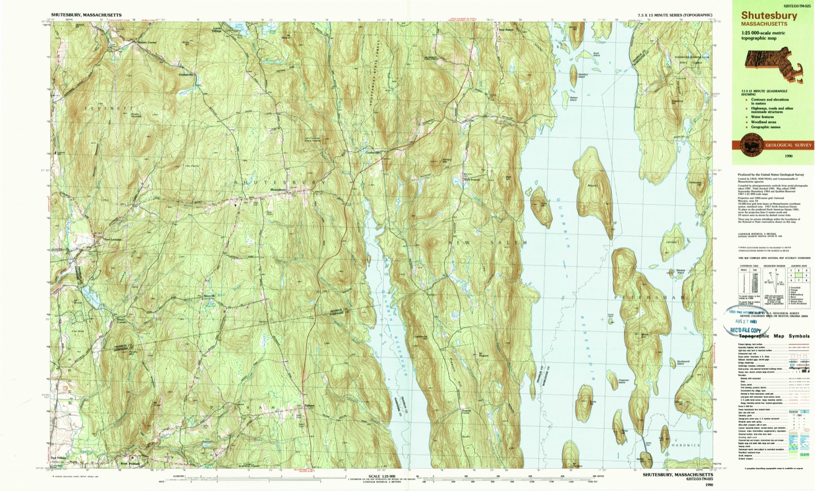
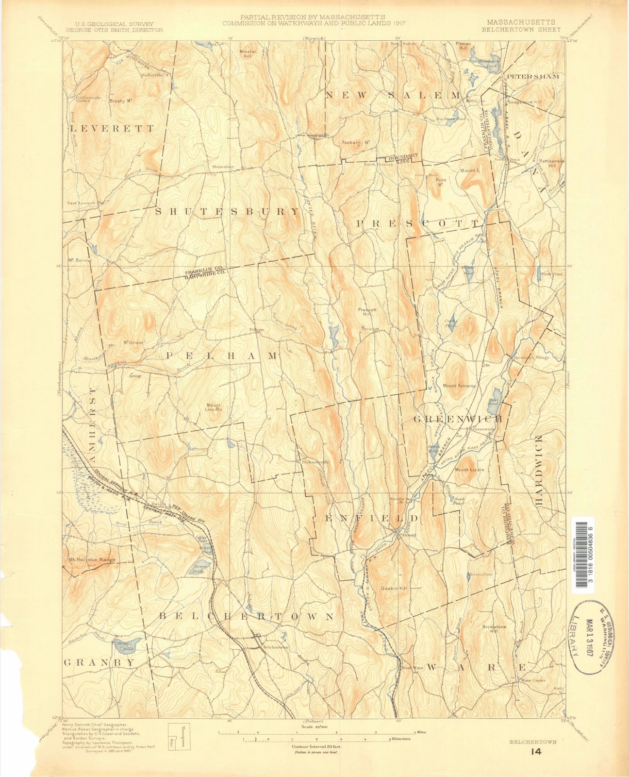
Compare 1887 against another survey:
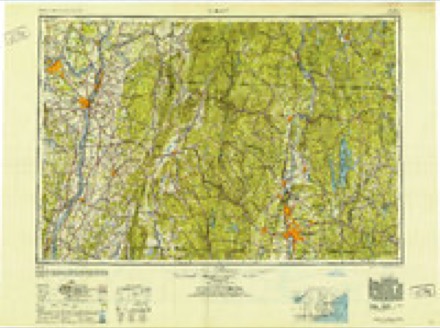
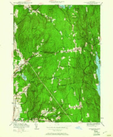
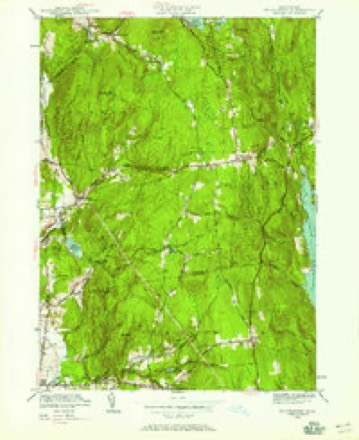
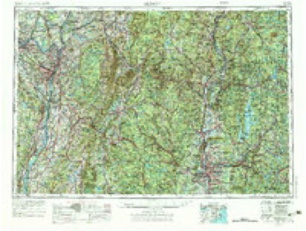
Topographic sheets covering this place
35 sheetsMatched by testing this settlement's coordinate against the published boundary of every sheet in the United States Geological Survey's historical collection. Each opens the scanned sheet at the Survey.
- 1887 USGS Belchertown quadrangle1:62500
- 1890 USGS Belchertown quadrangle1:62500
- 1893 USGS Belchertown quadrangle1:62500
- 1893 USGS Belchertown quadrangle1:62500
- 1893 USGS Belchertown quadrangle1:62500
- 1893 USGS Belchertown quadrangle1:62500
- 1893 USGS Belchertown quadrangle1:62500
- 1893 USGS Belchertown quadrangle1:62500
- 1893 USGS Belchertown quadrangle1:62500
- 1893 USGS Belchertown quadrangle1:62500
- 1908 USGS Ware quadrangle1:125000
- 1908 USGS Ware quadrangle1:125000
- 1942 USGS Shutesbury quadrangle1:31680
- 1942 USGS Ware quadrangle1:125000
- 1943 USGS Shutesbury quadrangle1:31680
- 1943 USGS Shutesbury quadrangle1:31680
- 1943 USGS Shutesbury quadrangle1:31680
- 1943 USGS Shutesbury quadrangle1:31680
- 1948 USGS Albany quadrangle1:250000
- 1950 USGS Shutesbury quadrangle1:24000
- 1950 USGS Shutesbury quadrangle1:24000
- 1956 USGS Albany quadrangle1:250000
- 1956 USGS Albany quadrangle1:250000
- 1957 USGS Albany quadrangle1:250000
- 1959 USGS Albany quadrangle1:250000
- 1962 USGS Albany quadrangle1:250000
- 1964 USGS Shutesbury quadrangle1:25000
- 1964 USGS Shutesbury quadrangle1:24000
- 1964 USGS Shutesbury quadrangle1:25000
- 1964 USGS Shutesbury quadrangle1:24000
- 1975 USGS Shutesbury quadrangle1:25000
- 1985 USGS Holyoke quadrangle1:100000
- 1985 USGS Holyoke quadrangle1:100000
- 1990 USGS Shutesbury quadrangle1:25000
- 1990 USGS Shutesbury quadrangle1:25000
What happened here
An account from the chapter on Pelham town, The inset identifies its exact source book and publication year.
The Hadley Lake Drainage
The last of the considerable deposits (m t) at hig-h level on the eastern side of the valley dependent upon the obstructed drainage which attended the retreat of the ice occupies the long, narrow valley along the west border of the Belchertown quadrangle, which runs north by the village of Leverett, along Pond Brook, and past the entrance to "Rattlesnake Gutter," and extends south across the town line into Shutesbury, skirting Mount Boreas on the east and ending just south of this mountain, where, south of 42° 25', the north branch of Fort River, which occupies the lake's former outlet, passes into a canyon to reach the open valley above East Street village, in Amherst.
In the county-history sources
12,634 words on this townshipGeology of Old Hampshire County, Massachusetts : Comprising Franklin, Hampshire, and Hampden Counties, published 1898 names this settlement in its chapter on Pelham Town. These are the passages that mention it, exactly as the scans read.
Fortunately the ditch for the main of the Amherst waterworks ran from the west across the flat where the ice rested at the entrance of the portal (Pelham City), giving a complete section of the semimorainic beds that rested on the ice with all their irregularity. It continued past the Orient, exposing the passage beds to the fine della sands, and, passing high up above the brook into the notch which this brook has cut into the portal or entrance terrace, it continued along its southern slope through the whole delta deposit and far out into the central portion of the basin. At first, and nearest the ice, the beds dipped west, and these may be "backset" beds, as Prof W. M. Davis would say,^ or may have taken this posture as a result of the melting of the ice beneath and their sinking westwardly. For the most part the beds dip strongly east into the basin and show that the current came from the west - that is, from the ice.
Passage source: Geology of Old Hampshire County, Massachusetts : Comprising Franklin, Hampshire, and Hampden Counties, published 1898.
A. - At the first house in the west village of Pelham, about 320 feet above the sea level, the last trace of the highest bench of the Amherst basin (the Hadley Lake) disappeared, and through the village, eastward into the notch, the coarse till made the surface to the point where the Shutesbury road branches off, as has been described on page 581.
Passage source: Geology of Old Hampshire County, Massachusetts : Comprising Franklin, Hampshire, and Hampden Counties, published 1898.
Following up Locks Brook into the mountains, we find high sands bordering it with every widening of the narrow valley at all levels until we reach the top of the hills and come upon the broad basin of finely sorted sands surrounding Locks Pond. These I have already connected with the line of sands which can be traced southward through Pelham to Palmer. It is clear, thus, that the ice retreated down this valley, but that its shape did not favor the formation of extended deposits, and its position as a deep transverse gorge extending quite across the block of hills between the Connecticut and Swift River valleys was such that it intercepted all southward currents so soon as it was free from ice, and it is curious to see how by de^dous ways it deposited its burden, now in the Leverett Lake, now in the broad delta at the south end of the Mount Toby Valley, now clogging up the northern end of the latter, while at the last it has contributed very little to the filling up of the Montague basin, into which it now enters from the mountains.
Passage source: Geology of Old Hampshire County, Massachusetts : Comprising Franklin, Hampshire, and Hampden Counties, published 1898.
Machine-read from a century-old scan, so expect the errors a machine makes: misspelled names, dropped words, stray characters.
Read the whole chapter on Pelham Town - it names this place 8 more 8 times.
Fires near this place
11 since 2004Regional context, not property-specific evidence. The federal wildfire occurrence database lists 11 fires within 5 miles of Pelham between 2004 and 2020, burning about 10 acres in total. 2 started naturally. None was recorded as arson. Distance is straight-line from the map coordinates, so a fire counted here may appear on a neighbouring settlement's page as well.
| Reported cause | Fires |
|---|---|
| Missing data/not specified/undetermined | 5 |
| Recreation and ceremony | 3 |
| Natural | 2 |
| Debris and open burning | 1 |
The most recent of them, most recent first, with the day each was reported and the service that recorded it.
| Date | Cause | Size | Reported by | Name on the report |
|---|---|---|---|---|
| 23 July 2016 | Missing data/not specified/undetermined | under an acre | Massachusetts Bureau of Forest Fire Control | not named |
| 23 July 2016 | Natural | 5.3 acres | Massachusetts Bureau of Forest Fire Control | not named |
| 11 May 2018 | Missing data/not specified/undetermined | 1.0 acres | Massachusetts Bureau of Forest Fire Control | not named |
| 4 April 2019 | Debris and open burning | under an acre | Massachusetts Bureau of Forest Fire Control | not named |
| 21 April 2018 | Missing data/not specified/undetermined | under an acre | Massachusetts Bureau of Forest Fire Control | not named |
| 19 April 2004 | Recreation and ceremony | 1.0 acres | Massachussetts State Fire Marshal's Office | not named |
| 18 April 2015 | Missing data/not specified/undetermined | under an acre | Massachusetts Bureau of Forest Fire Control | not named |
| 15 April 2015 | Natural | under an acre | Massachusetts Bureau of Forest Fire Control | not named |
Settlements close enough to share some of these fires:
Specimens collected near this place
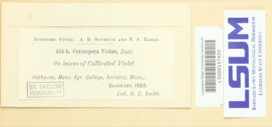
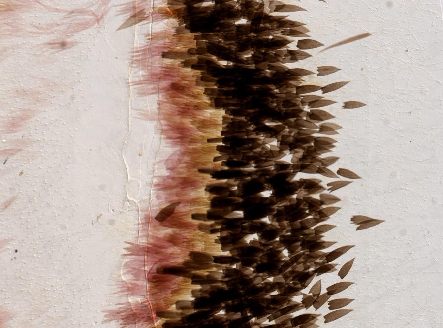
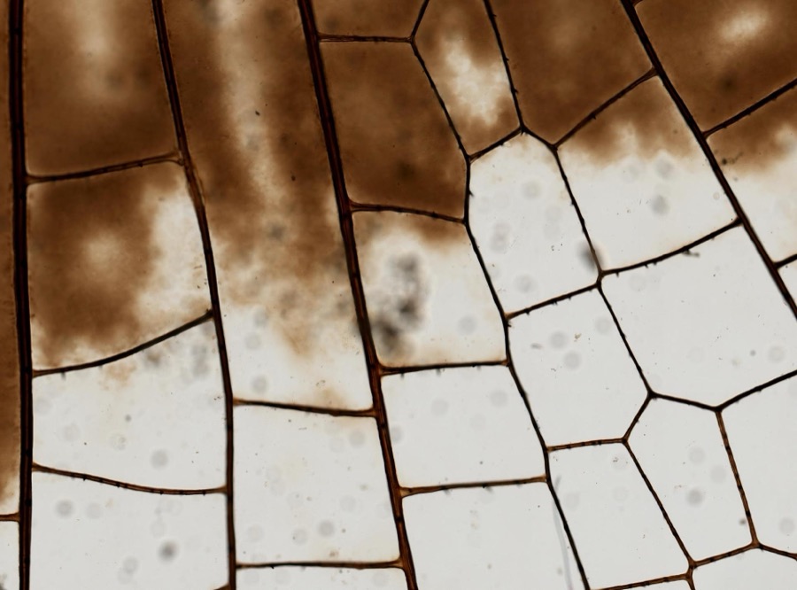
12 of 8,229 shownRegional context, not property-specific evidence. Museums hold 8,229 specimens collected within 10 miles of Pelham between 1781 and 1975: 3,758 Animalia, 2,211 Plantae, 2,048 Fungi, 126 Chromista, 75 Protozoa, 11 Unrecorded. 12 distinct Species records are shown. Collected by A. Allen, A. B. Seymour, A. Buckman and others. Each is a physical object with a catalogue number, and each entry opens the museum's record. This is what was collected and kept, not a survey of what lives here - nothing can be concluded from a species being absent.
| Image | Species | Year | Collected by | Where, as recorded |
|---|---|---|---|---|
 | Cercospora violae Sacc. | 1895 | Ralph E. Smith | Hothouse, Mass. Agr. College, Amherst |
 | Actias luna Linnaeus, 1758 | 1896 | not recorded | |
 | Plathemis lydia (Drury, 1773) | 1896 | not recorded | |
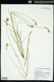 | Carex argyrantha Tuck. ex Dewey | 1781 | H. G. Jesup | Amherst in Hampshire Co., and Leverett in Franklin Co., Massachusetts. [Inferred counties from precise loc.] |
 | Carex foenea Willd. | 1781 | H. G. Jesup | And Leverett |
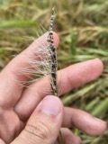 | Ustilago nuda (C.N.Jensen) Kellerm. & Swingle | 1810 | J.E. Humphrey | |
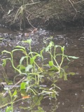 | Ranunculus ambigens S.Watson | 1831 | S. Shurtleff | |
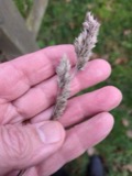 | Dactylis glomerata L. | 1839 | S J Ewer | |
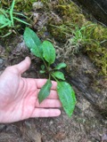 | Solidago arguta Aiton | 1841 | Collector(s): Henry Holmes Babcock, Henry Griswold Jesup | Amherst |
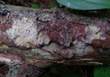 | Phlebiella vaga (Fr.) P.Karst. | 1845 | Illegible collector name | |
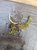 | Elodea nuttallii (Planch.) H.St.John | 1847 | H. G. Jesup | |
 | Biatora sanguineoatra (Wulfen) Tuck. | 1848 | Tuckerman Edward |
All 8,229 specimens within 10 miles, at the Global Biodiversity Information Facility.
Mines and quarries near this place
3 within 5 milesRegional context, not property-specific evidence. The federal mineral resources record lists 3 workings within 5 miles of Pelham: 1 producer, 1 past producer, 1 occurrence. 1 still produces. What was taken out: Sand and Gravel, Construction, Asbestos, Emery, Iron. Distance is straight-line from the map coordinates, so a quarry counted here may appear on a neighbouring settlement's page as well.
| Where | Site | Commodity | Status | Recorded |
|---|---|---|---|---|
| Andrews Mine | Iron | Occurrence | 1871 | |
| Blakeslee-Arpaia-Chapman S&G Co | Sand and Gravel, Construction | Producer | ||
| Pelham Quarry | Asbestos, Emery | Past Producer |
Storms near this place
18 since 1995Regional context, not property-specific evidence. The National Weather Service names Pelham in 18 storm reports between 1995 and 2023: 9 thunderstorm wind, 6 hail, 3 lightning. The reports record 2 injuries. Each account below is quoted exactly as the forecast office filed it, from the NOAA Storm Events Database, and each date opens the federal record of that event.
| When | Event | Place named | Harm | What the report says |
|---|---|---|---|---|
| June 2023 | Lightning | Pelham | 1 hurt | In Pelham on Amherst Road, the Fire Dept. reported an individual struck by lightning, with a reported foot injury. Report relayed by amateur radio. |
| July 2007 | Thunderstorm Wind | Pelham | 1 hurt | Numerous trees downed. One tree fell on a car which injured a woman. |
| July 2014 | Lightning | Pelham | $15,000 | Lightning struck a house on Boyden Street in Pelham causing a basement fire. |
| June 2013 | Lightning | West Pelham | $15,000 | A house at 57 Harkness Road was struck by lightning, which ignited a fire. The house sustained minor damage before it was extinguished. |
| August 2006 | Thunderstorm Wind | Pelham | $15,000 | no account filed |
| May 2006 | Thunderstorm Wind | Pelham | $5,000 | no account filed |
| May 2006 | Thunderstorm Wind | Pelham | $5,000 | no account filed |
| May 2021 | Thunderstorm Wind | West Pelham | $1,000 | In Pelham, MA a tree was down on both Jones Rd. and Amherst Rd. |
| November 2020 | Thunderstorm Wind | West Pelham | $800 | In Pelham, a tree and wires were down across North Valley Road. |
| July 2021 | Thunderstorm Wind | West Pelham | $500 | In Pelham, a tree was down on Enfield Rd. |
| July 2021 | Thunderstorm Wind | West Pelham | $300 | In Pelham, wires were down on Amherst Road near Enfield Road. |
| July 2021 | Hail | Pelham | - | In Pelham, golf ball sized hail was reported. |
| July 1995 | Hail | Pelham | - | Golf ball-size hail was observed in Hadley and Amherst and dime-size hail fell in Pelham. |
| September 2014 | Hail | Pelham | - | no account filed |
| May 2007 | Hail | Pelham | - | no account filed |
| May 2001 | Hail | Pelham | - | no account filed |
| June 2000 | Hail | Pelham | - | no account filed |
| September 1998 | Thunderstorm Wind | Pelham | - | no account filed |
Nearest settlements
The eight closest, with where each one stands in the county. Distances are straight-line, computed from the Geographic Names Information System coordinates.
| Map | Place | Distance | Sheets |
|---|---|---|---|
| Knights Corner | 2.8 miles | 32 | |
| Meads Corner | 2.9 miles | 32 | |
| Packardville | 3.4 miles | 32 | |
| West Pelham | 3.7 miles | 35 | |
| East Village | 5.1 miles | 35 | |
| Dwight | 5.1 miles | 32 | |
| Cushman | 5.6 miles | 42 | |
| Amherst Center | 6.2 miles | 42 |
Provenance
This settlement is recorded in the Geographic Names Information System as feature 609200. The sheet list is computed by point-in-boundary test against the United States Geological Survey's historical topographic inventory. Both are works of the United States government and carry no copyright under 17 U.S.C. 105.
Wildfire. Short, Karen C. 2022. Spatial wildfire occurrence data for the United States, 1992-2020 [FPA_FOD_20221014]. 6th Edition. Fort Collins, CO: Forest Service Research Data Archive. https://doi.org/10.2737/RDS-2013-0009.6 Collected with United States Government funding and usable without additional permissions or fees.
Specimens. Global Biodiversity Information Facility (GBIF), https://www.gbif.org/. Only records licensed CC0 or CC BY are used. Records licensed CC BY-NC are excluded because this site carries advertising. Images are checked individually and any whose licence is non-commercial, no-derivatives or unreadable is refused.
Mines and quarries. USGS Mineral Resources Data System (MRDS) https://mrdata.usgs.gov/mrds/ A work of the United States government, no copyright under 17 U.S.C. 105.
Storms. NOAA National Centers for Environmental Information, Storm Events Database https://www.ncei.noaa.gov/stormevents/ A work of the United States government, no copyright under 17 U.S.C. 105. Narratives are quoted verbatim from the National Weather Service report and are not edited or summarised.